Pflugerville (/ˈfluːɡərvɪl/ FLOO-gər-vil) is a city in Travis County, Texas, United States, with a small portion in Williamson County. The population was 65,191 at the 2020 census. Pflugerville is a suburb of Austin and part of the Austin–Round Rock– Metropolitan Statistical Area. It was named after the original German settlers who farmed the area; Pflüger means ‘plowman’.
| Name: | Pflugerville city |
|---|---|
| LSAD Code: | 25 |
| LSAD Description: | city (suffix) |
| State: | Texas |
| County: | Travis County, Williamson County |
| Incorporated: | July 24, 1965 |
| Elevation: | 719 ft (219 m) |
| Total Area: | 25.57 sq mi (66.23 km²) |
| Land Area: | 25.55 sq mi (66.19 km²) |
| Water Area: | 0.01 sq mi (0.04 km²) |
| Total Population: | 65,191 |
| Population Density: | 2,500/sq mi (980/km²) |
| ZIP code: | 78660, 78691 |
| Area code: | 512 & 737 |
| FIPS code: | 4857176 |
| GNISfeature ID: | 1365131 |
| Website: | PflugervilleTX.gov |
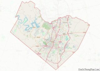
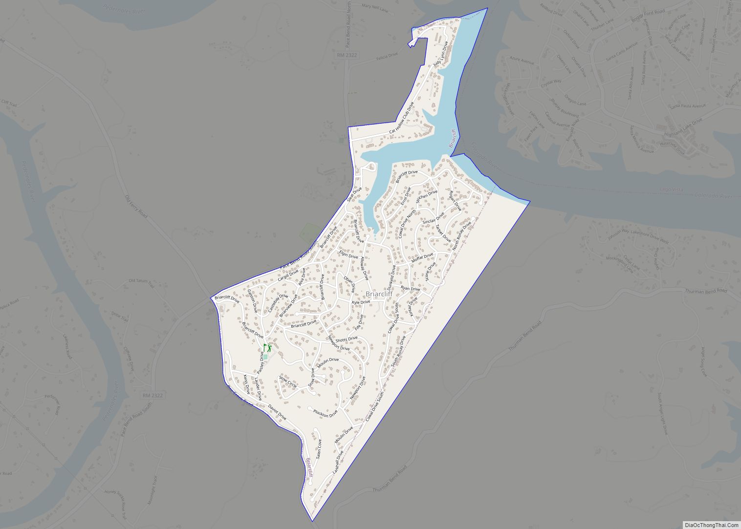
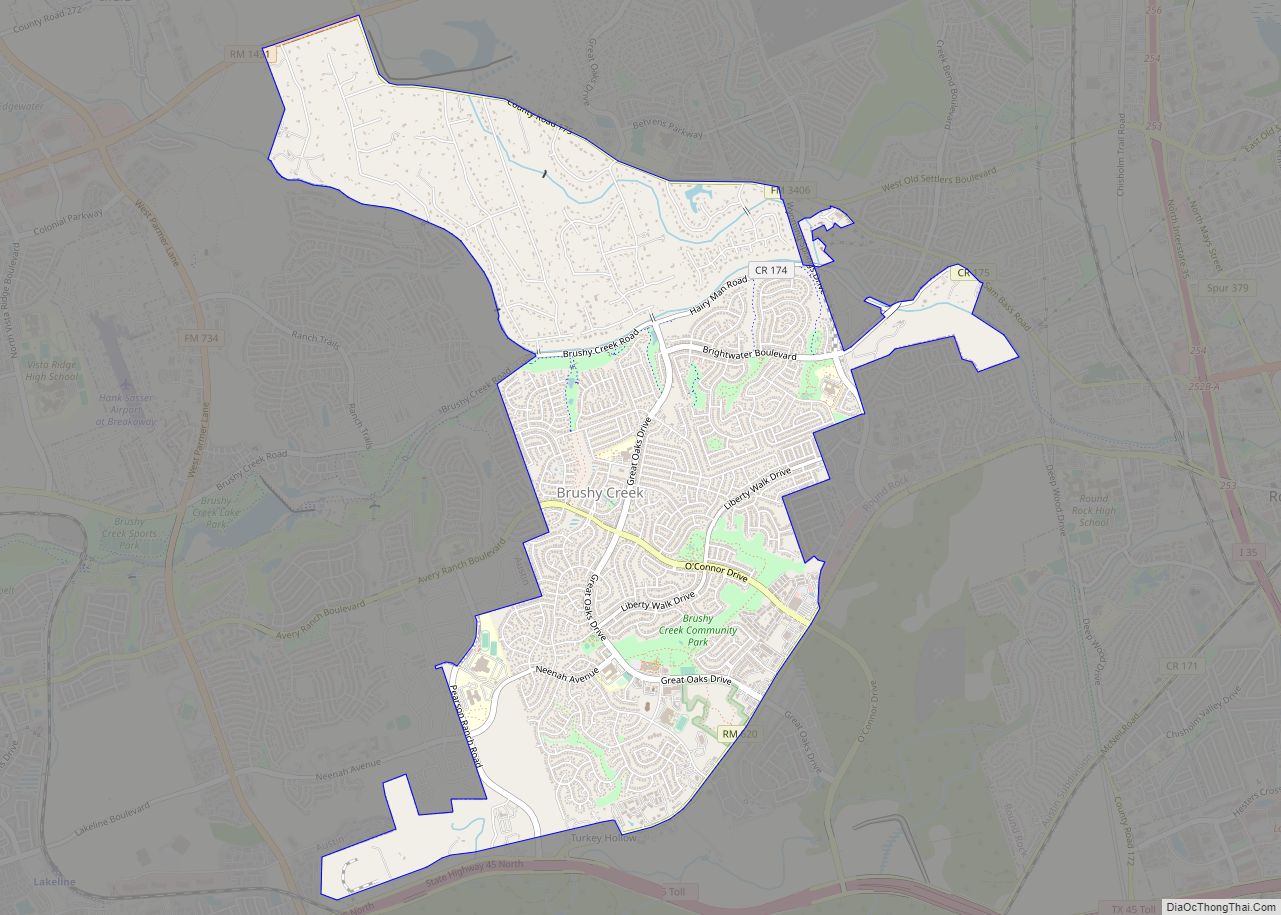
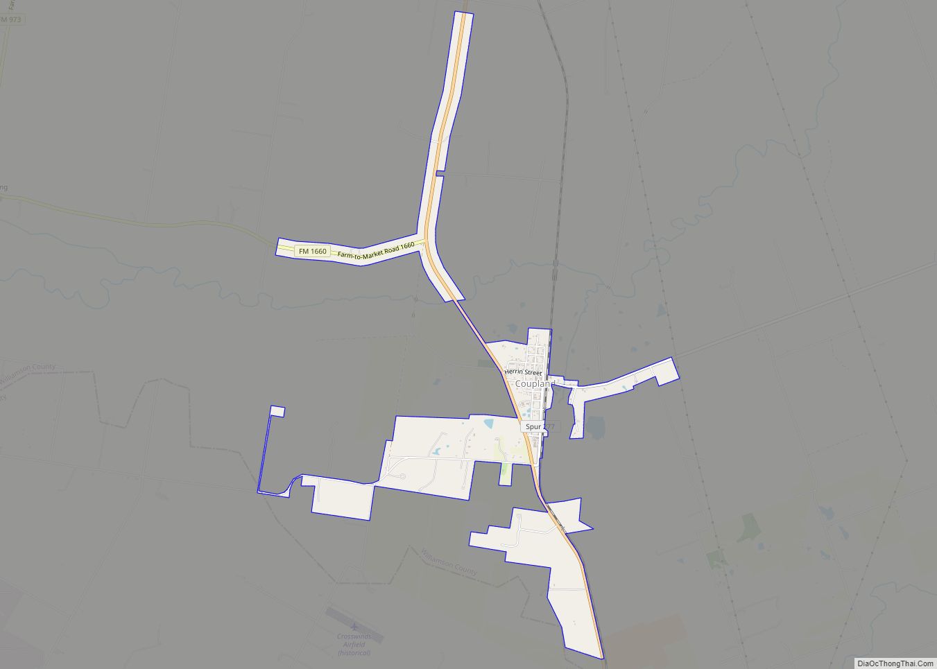
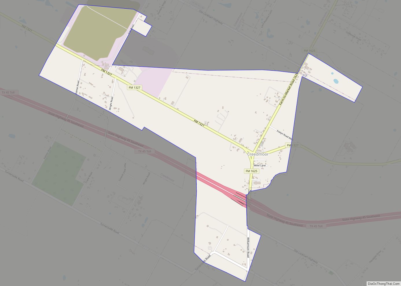
Online Interactive Map
Click on ![]() to view map in "full screen" mode.
to view map in "full screen" mode.
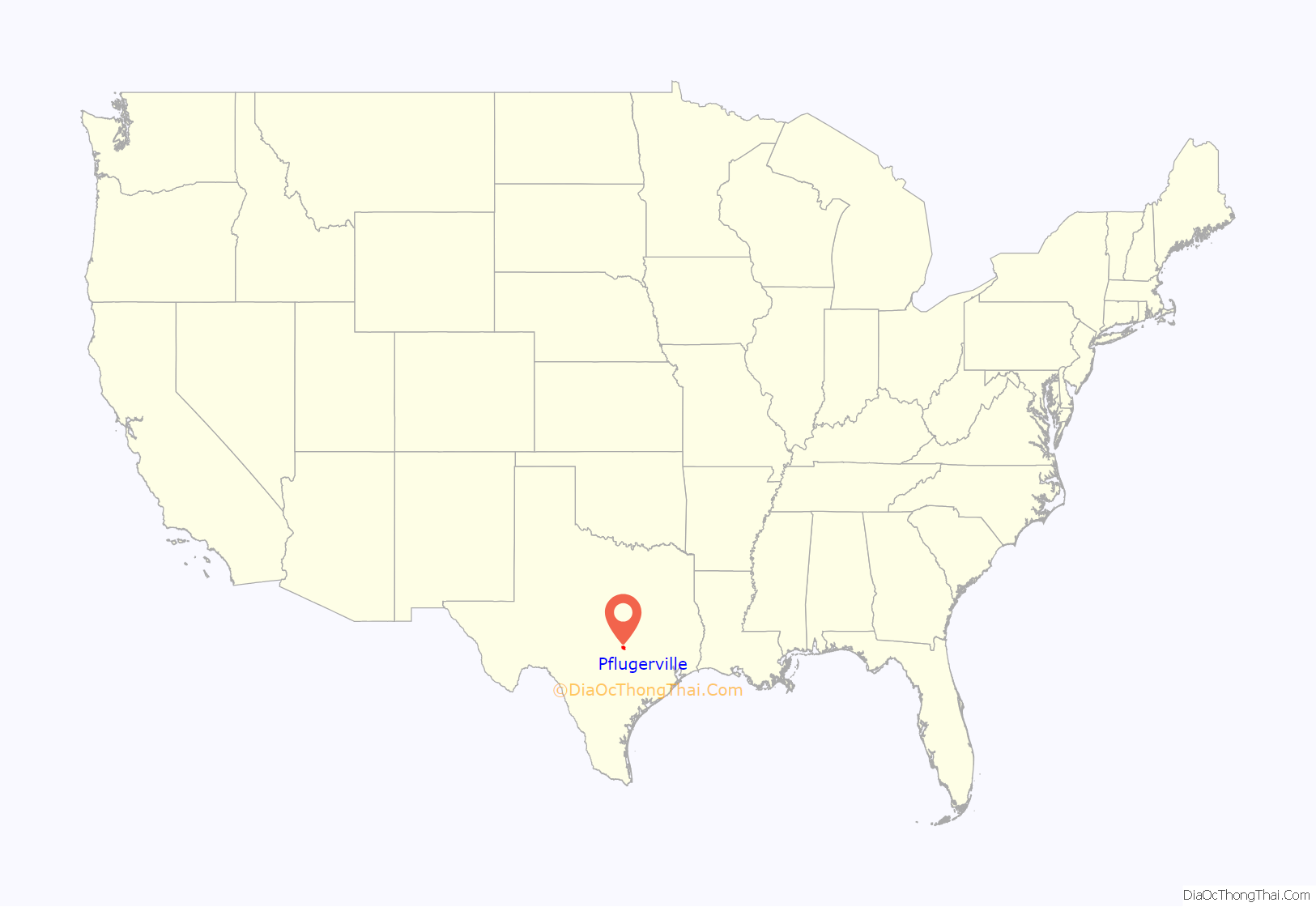
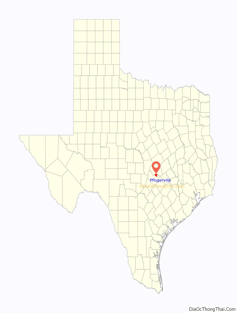
Pflugerville location map. Where is Pflugerville city?
History
Pfluger homestead
The area was initially settled by German immigrant Henry Pfluger, Sr. (1803–1867) and members of his family from late 1849 into early 1850. Pfluger had been a wealthy farmer in Germany, but lost all of his property during the Prussian War. He arrived in the country with $1,600 and purchased 160 acres (0.65 km) of land two miles (3 km) east of Austin from John Liese, a brother-in-law who had immigrated before him. In 1853, Pfluger paid Liese $960 for a 960-acre (3.9 km) tract of land in an area known as Brushy Knob. There, the family lived in a five-room log cabin and raised corn, wheat, rye, beans, sweet potatoes, and sugar cane. The Pfluger family also owned several slaves, some of whom were fluent in German.
Community development
The beginnings of a community did not develop until after the Civil War.
During the 1870s, a school and Lutheran church were established at the settlement. The first commercial business in the community was a general store built by Louis Bohls in 1890. Two local organizations, the German-American Mutual Assistance Foundation, to insure residents against natural disasters; and “Pflugerville Schuetzen und Kegel Verein,” a shooting and bowling club, were started. Pflugerville’s post office opened in 1893, with Louis Bohls serving as its first postmaster.
The population reached approximately 250 during the mid-1890s, and a small downtown developed, although most residents did their banking and shipping in Round Rock, eight miles (13 km) to the northwest.
Wooden buildings were erected on Main Street and Pecan Street, many by Conrad Pfluger, one of Henry Pfluger, Sr.’s eight sons.
In 1904, the Missouri–Kansas–Texas Railroad (MKT) completed its track between Georgetown and Austin, passing just outside Pflugerville. Its close proximity to the line caused the community to grow rapidly. The line was eventually abandoned and razed in 1976.
On February 19, 1904, the town site of Pflugerville was platted by George Pfluger and his son, Albert, dedicating streets and alleys for the town from the Alexander Walter and C. S. Parrish Surveys in Travis County. The plat consisted of sixteen blocks, rights-of-way, and the depot grounds to the MKT. The first addition to the town was the six-block Wuthrich Addition, platted on November 22, 1904. The first cotton gin was built by Otto Pfluger in 1904. It was destroyed by fire in 1931 and a new one was built at the same location.
On June 8, 1906, the Farmers State Bank of Pflugerville opened with William Pfluger as its president and A.W. Pfluger as cashier.
The first issues of the Pflugerville Press, a weekly newspaper, began publishing on August 7, 1907 and operated through October 29, 1942.
In 1910, black workers who worked in the Pflugerville cotton industry were not allowed to move into the town. Farmer La Rue Norton, who owned 1,200 acres (4.9 km) of land west of Pflugerville, set aside an acre and sold lots to the workers at $50 each. County records listed the settlement as Pflugerville’s Colored Addition in April 1910.
The first German Day celebration in Pflugerville took place on May 29, 1910.
In 1913, H.S. Pfluger built the Sky Dome Theater, which showed motion pictures to the accompaniment of a player piano on Friday and Saturday nights. It closed in 1928.
In the early 1920s, Pflugerville was home to an estimated 500 residents.
During that period, several area school districts consolidated with Pflugerville High School.
1930 to 1964
Around 580 people lived in the community in 1930. The arrival of the Great Depression halted what had been a lengthy period of growth in Pflugerville. The population fell slightly to 500 in 1940. In the years immediately after World War II, the community lost around a quarter of its population as citizens moved to Austin and other larger cities with greater employment opportunities. Despite the challenges of population loss and limited economic development, Pflugerville managed to survive.
The community gained national attention when the Pflugerville Panthers won 55 consecutive football games from 1958 to 1962.
Incorporation and growth
Efforts to incorporate Pflugerville culminated in the holding of an election on July 24, 1965. A total of 102 votes were cast, with 60 (58.8%) supporting the proposition and 42 (41.2%) opposed. The town incorporated under a commission form of government. On April 4, 1970, an election was held that changed the form of government from commissioner to aldermanic, providing for an elected mayor and five aldermen.
Pflugerville’s population began to rebound after its incorporation, and by the 1970 census, it stood at 549. That figure had risen to 745 by 1980.
A weekly newspaper, the Pflugerville Pflag, began publication in 1980.
During most of the 1980s, new development made Pflugerville one of the fastest-growing cities in Texas. Estimates from the late 1980s were as high as 3,900. Although the boom was slowed by a statewide recession, Pflugerville’s population grew to 4,444 in 1990.
1990 to present
Throughout the 1990s, the city of Austin experienced a rapid rise in its population. This was also the case in suburban areas surrounding the city. Pflugerville more than doubled in size by the next census, in 2000. Since then, Pflugerville has grown by approximately 20,000, with the total number of residents approaching 40,000 as of 2008. The 2010 Census placed Pflugerville’s population at 46,936, but with annexations since the 2010 census, the U.S. Census Bureau estimates it to be 59,245 as of July 1, 2016. According to data from the 2000, 2010 and 2017 population estimates compiled by the U.S. Census Bureau, Pflugerville has the largest percentage black population out of all suburban cities in the Austin metro.
Pflugerville elected its first Hispanic Mayor, Victor Gonzales, in 2016.
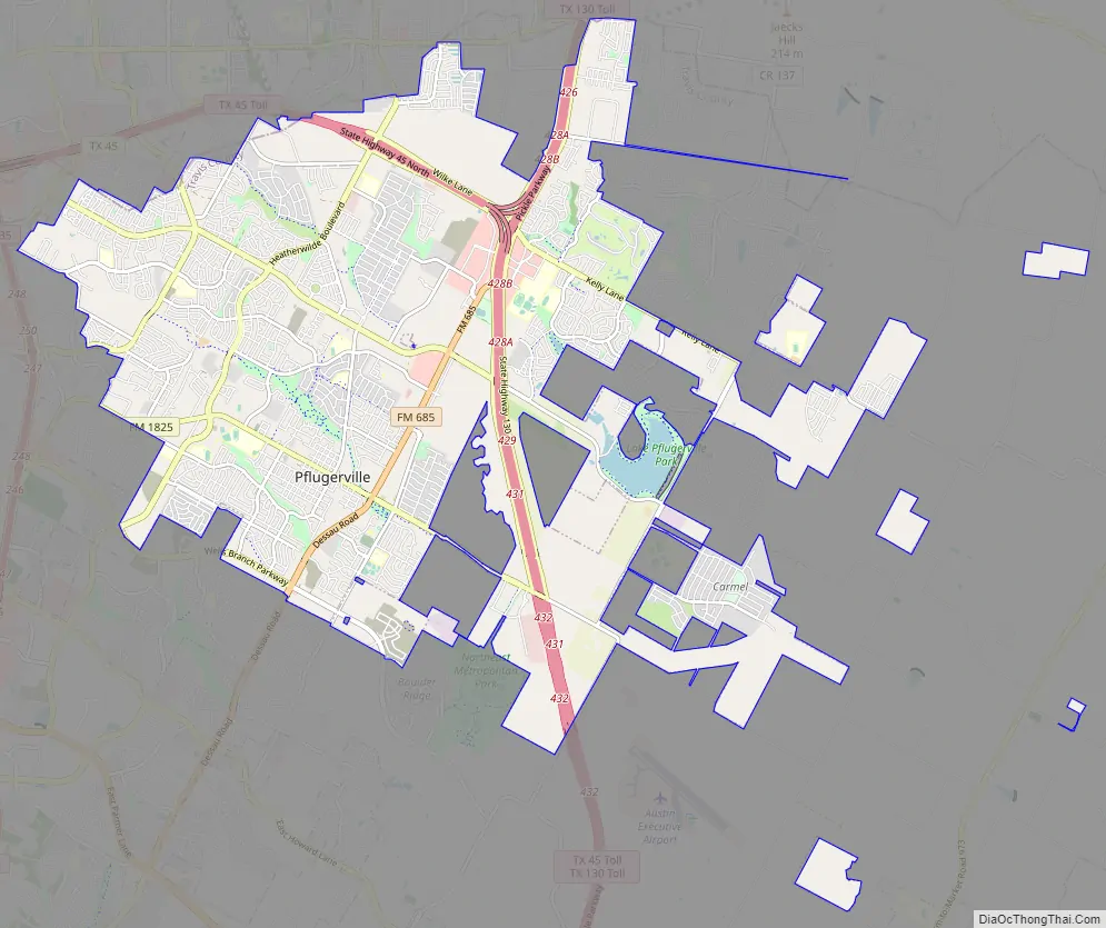
Pflugerville Road Map
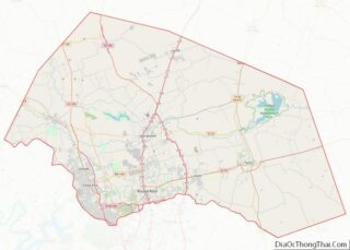
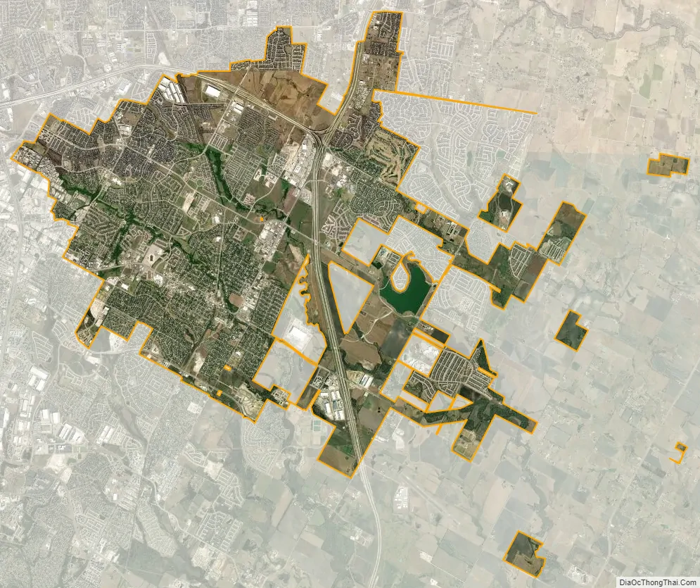
Pflugerville city Satellite Map
Geography
Pflugerville is located at 30°26′46″N 97°37′26″W / 30.446122°N 97.623989°W / 30.446122; -97.623989, 14 miles (23 km) northeast of downtown Austin along FM 1825 (Pecan Street) in northern Travis County. It is 15 miles (24 km) northeast of the Colorado River.
According to the 2010 United States Census Bureau, the city has a total land area of 22.32 square miles. It has 40.39 square miles in the extraterritorial jurisdiction. The city has one body of water, Lake Pflugerville, created in 2005 to serve as a water reservoir and recreation area, and two creeks, Gilleland Creek and Wilbarger Creek. A local school group, Wilbarger Water Watchers, in association with the LCRA, monitors the waters of Wilbarger Creek to ensure it meets the United States Environmental Protection Agency’s national standard.
See also
Map of Texas State and its subdivision:- Anderson
- Andrews
- Angelina
- Aransas
- Archer
- Armstrong
- Atascosa
- Austin
- Bailey
- Bandera
- Bastrop
- Baylor
- Bee
- Bell
- Bexar
- Blanco
- Borden
- Bosque
- Bowie
- Brazoria
- Brazos
- Brewster
- Briscoe
- Brooks
- Brown
- Burleson
- Burnet
- Caldwell
- Calhoun
- Callahan
- Cameron
- Camp
- Carson
- Cass
- Castro
- Chambers
- Cherokee
- Childress
- Clay
- Cochran
- Coke
- Coleman
- Collin
- Collingsworth
- Colorado
- Comal
- Comanche
- Concho
- Cooke
- Coryell
- Cottle
- Crane
- Crockett
- Crosby
- Culberson
- Dallam
- Dallas
- Dawson
- Deaf Smith
- Delta
- Denton
- Dewitt
- Dickens
- Dimmit
- Donley
- Duval
- Eastland
- Ector
- Edwards
- El Paso
- Ellis
- Erath
- Falls
- Fannin
- Fayette
- Fisher
- Floyd
- Foard
- Fort Bend
- Franklin
- Freestone
- Frio
- Gaines
- Galveston
- Garza
- Gillespie
- Glasscock
- Goliad
- Gonzales
- Gray
- Grayson
- Gregg
- Grimes
- Guadalupe
- Hale
- Hall
- Hamilton
- Hansford
- Hardeman
- Hardin
- Harris
- Harrison
- Hartley
- Haskell
- Hays
- Hemphill
- Henderson
- Hidalgo
- Hill
- Hockley
- Hood
- Hopkins
- Houston
- Howard
- Hudspeth
- Hunt
- Hutchinson
- Irion
- Jack
- Jackson
- Jasper
- Jeff Davis
- Jefferson
- Jim Hogg
- Jim Wells
- Johnson
- Jones
- Karnes
- Kaufman
- Kendall
- Kenedy
- Kent
- Kerr
- Kimble
- King
- Kinney
- Kleberg
- Knox
- La Salle
- Lamar
- Lamb
- Lampasas
- Lavaca
- Lee
- Leon
- Liberty
- Limestone
- Lipscomb
- Live Oak
- Llano
- Loving
- Lubbock
- Lynn
- Madison
- Marion
- Martin
- Mason
- Matagorda
- Maverick
- McCulloch
- McLennan
- McMullen
- Medina
- Menard
- Midland
- Milam
- Mills
- Mitchell
- Montague
- Montgomery
- Moore
- Morris
- Motley
- Nacogdoches
- Navarro
- Newton
- Nolan
- Nueces
- Ochiltree
- Oldham
- Orange
- Palo Pinto
- Panola
- Parker
- Parmer
- Pecos
- Polk
- Potter
- Presidio
- Rains
- Randall
- Reagan
- Real
- Red River
- Reeves
- Refugio
- Roberts
- Robertson
- Rockwall
- Runnels
- Rusk
- Sabine
- San Augustine
- San Jacinto
- San Patricio
- San Saba
- Schleicher
- Scurry
- Shackelford
- Shelby
- Sherman
- Smith
- Somervell
- Starr
- Stephens
- Sterling
- Stonewall
- Sutton
- Swisher
- Tarrant
- Taylor
- Terrell
- Terry
- Throckmorton
- Titus
- Tom Green
- Travis
- Trinity
- Tyler
- Upshur
- Upton
- Uvalde
- Val Verde
- Van Zandt
- Victoria
- Walker
- Waller
- Ward
- Washington
- Webb
- Wharton
- Wheeler
- Wichita
- Wilbarger
- Willacy
- Williamson
- Wilson
- Winkler
- Wise
- Wood
- Yoakum
- Young
- Zapata
- Zavala
- Alabama
- Alaska
- Arizona
- Arkansas
- California
- Colorado
- Connecticut
- Delaware
- District of Columbia
- Florida
- Georgia
- Hawaii
- Idaho
- Illinois
- Indiana
- Iowa
- Kansas
- Kentucky
- Louisiana
- Maine
- Maryland
- Massachusetts
- Michigan
- Minnesota
- Mississippi
- Missouri
- Montana
- Nebraska
- Nevada
- New Hampshire
- New Jersey
- New Mexico
- New York
- North Carolina
- North Dakota
- Ohio
- Oklahoma
- Oregon
- Pennsylvania
- Rhode Island
- South Carolina
- South Dakota
- Tennessee
- Texas
- Utah
- Vermont
- Virginia
- Washington
- West Virginia
- Wisconsin
- Wyoming