Pottsboro is a town in Grayson County, Texas, United States. Its population was 2,160 at the 2010 census, up from 1,579 at the 2000 census. It is part of the Sherman–Denison metropolitan statistical area.
| Name: | Pottsboro town |
|---|---|
| LSAD Code: | 43 |
| LSAD Description: | town (suffix) |
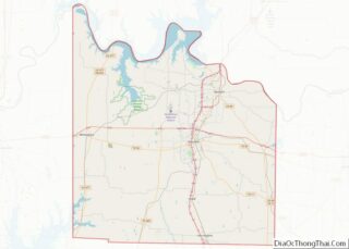
| State: | Texas |
| County: | Grayson County |
| Elevation: | 761 ft (232 m) |
| Total Area: | 3.30 sq mi (8.54 km²) |
| Land Area: | 3.30 sq mi (8.54 km²) |
| Water Area: | 0.00 sq mi (0.00 km²) |
| Total Population: | 2,160 |
| Population Density: | 754.70/sq mi (291.36/km²) |
| ZIP code: | 75076 |
| Area code: | 903 |
| FIPS code: | 4859132 |
| GNISfeature ID: | 1365691 |
| Website: | www.pottsboro.govoffice2.com |
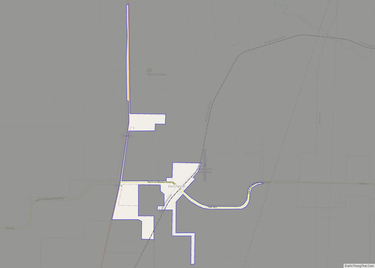
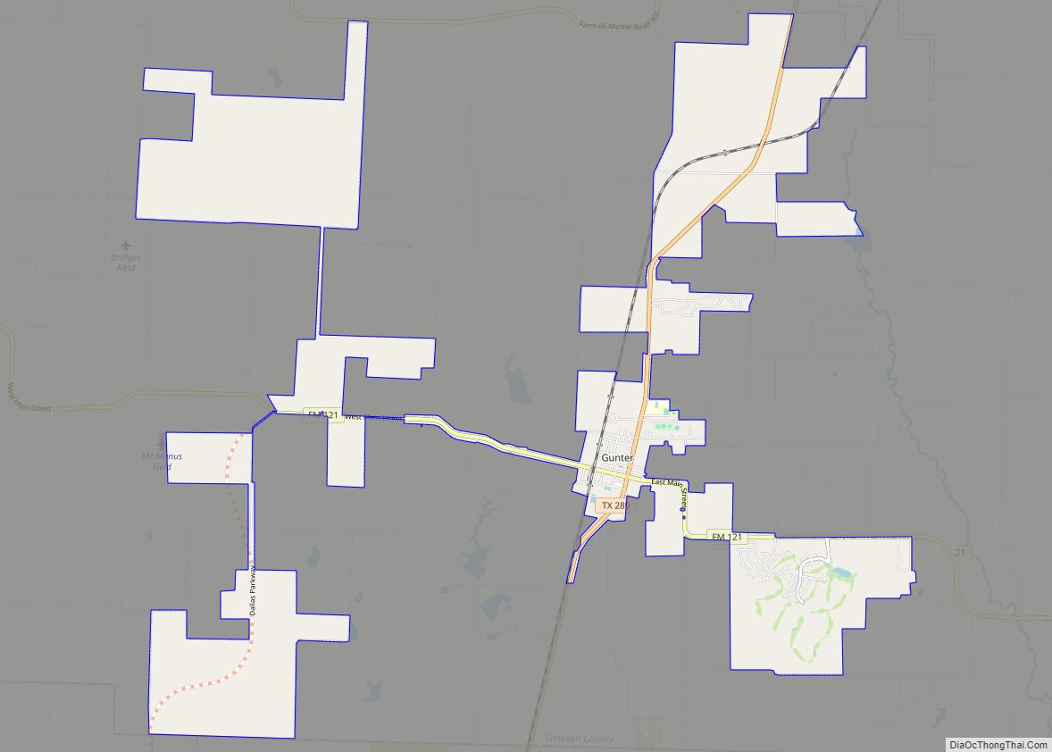
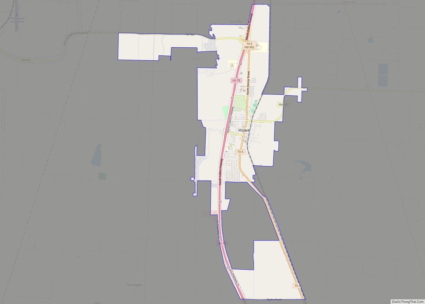
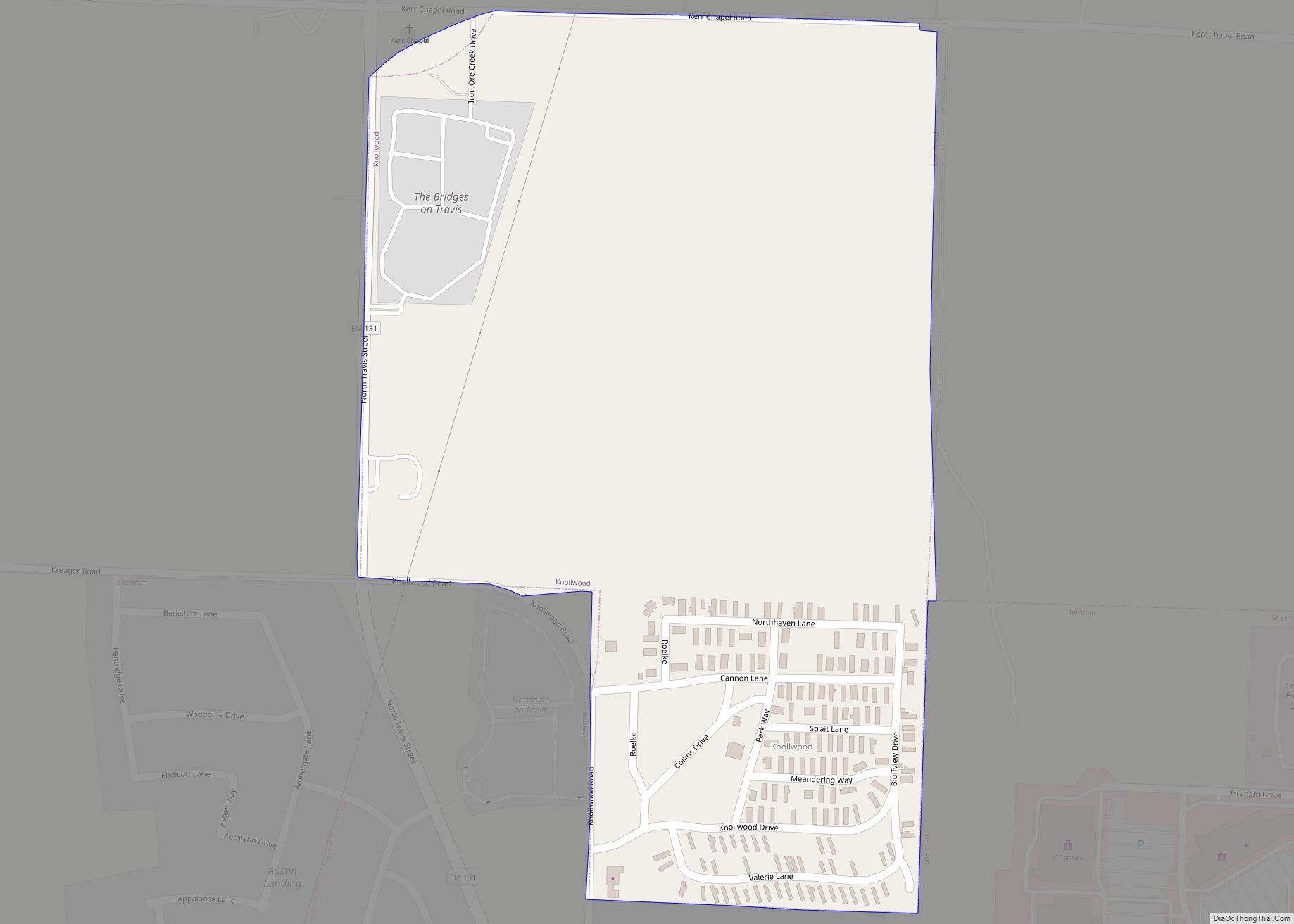
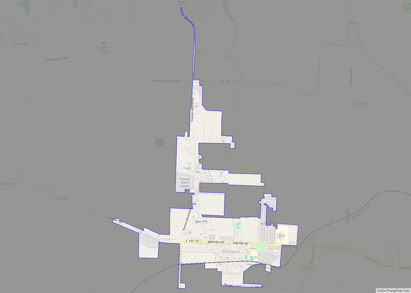
Online Interactive Map
Click on ![]() to view map in "full screen" mode.
to view map in "full screen" mode.
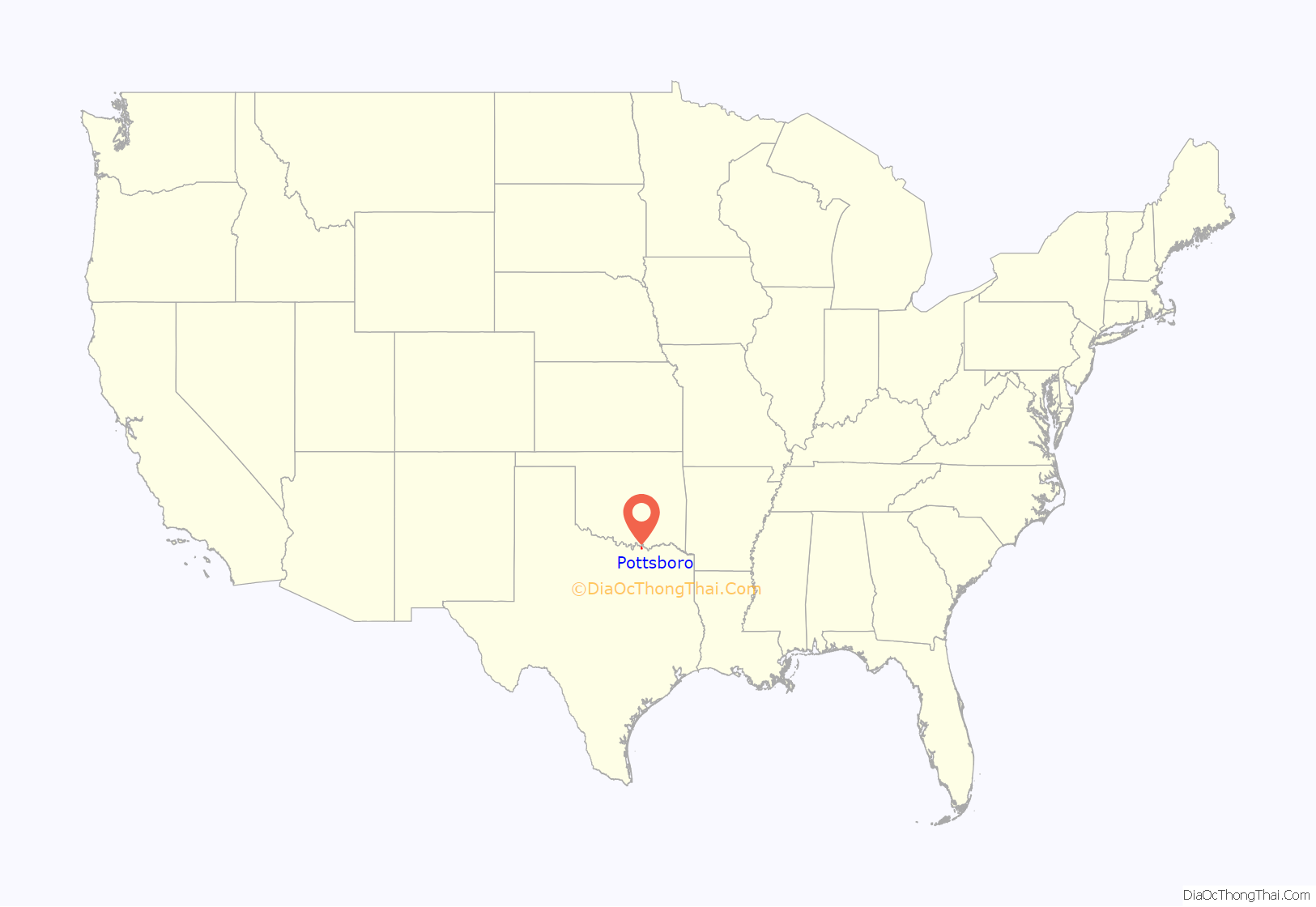
Pottsboro location map. Where is Pottsboro town?
History
Judge James G. Thompson and Mr. James Archer Potts both owned large ranches at the future site of Pottsboro, before its inception.
Pottsboro was established in 1876 by James A. Potts, a pioneer settler who donated land for a town and a right-of-way so the Missouri–Kansas–Texas Railroad would extend its tracks westward from Denison to his settlement. The community, no doubt aided by its status as a stop on the railroad, grew rapidly for the rest of the 1800s. It incorporated in 1880 with the name “Pottsborough”, and by 1885, its population had reached 200 and it supported a cotton gin, several gristmills, and a number of churches. Pottsboro suffered devastating fires that destroyed a great deal of the business section of the town: 1890, 1902, 1923, and 1924. Father-in-law of J.A. Potts, Judge James G. Thompson, applied for a post office in 1891, when they responded, the “ugh” was dropped from the name by the federal government, and the town’s name finally became “Pottsboro”. A post office opened there in 1891.
The population reached 454 in 1920 and 500 in 1925. By that time, the community was served by some 25 businesses, including a bank, and by two schools with a combined enrollment of 300 students. Pottsboro declined to a population of 358 by 1936 and 312 by the mid-1940s. It then grew to 383 by 1957. The number of businesses had fallen to 12 by 1948, though by the late 1950s, it was back up to more than 20. The town began to grow again during the 1950s, perhaps spurred by the rapid expansion of nearby Denison. By 1967, Pottsboro reported 30 businesses and a population of 750, and by 1990, its population was 1,177. The population grew to 1,579 in 2000.
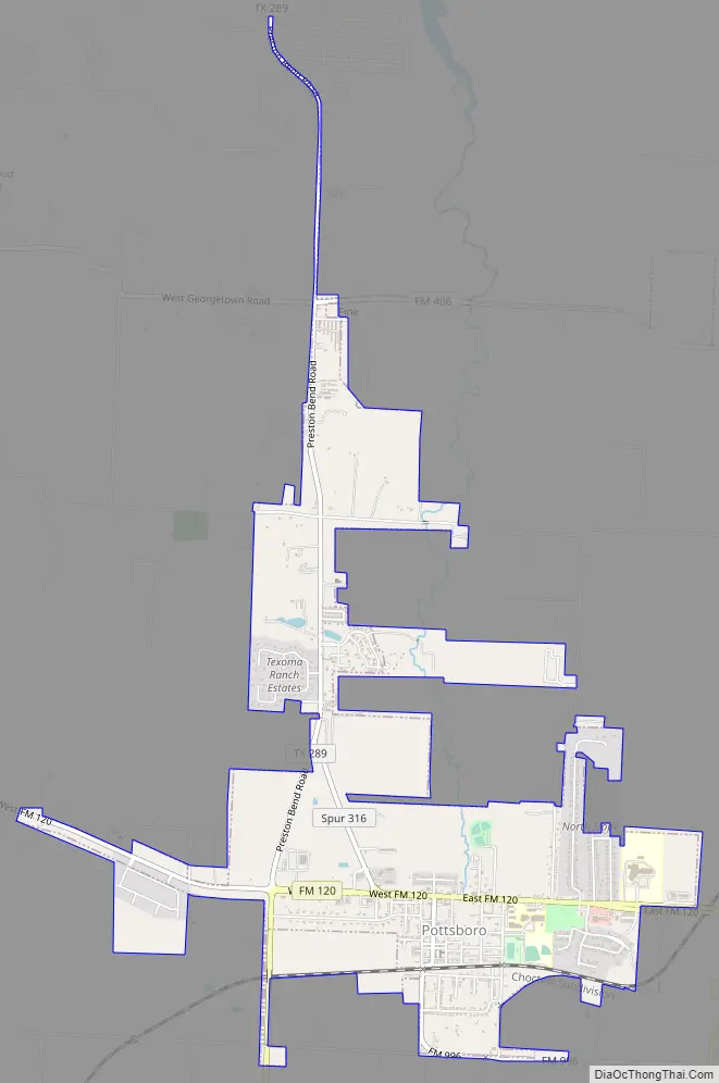
Pottsboro Road Map
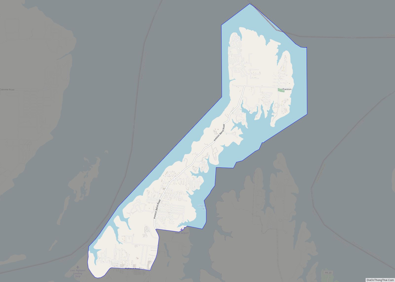
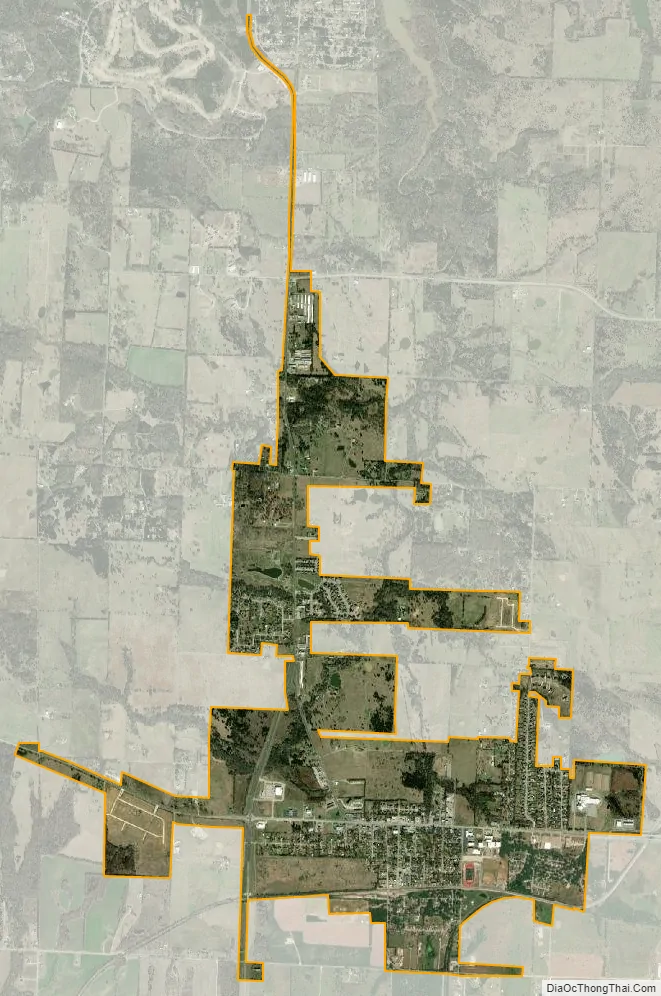
Pottsboro city Satellite Map
Geography
Pottsboro is located in northern Grayson County at 33°46′54″N 96°40′34″W / 33.78167°N 96.67611°W / 33.78167; -96.67611. Texas State Highway 289 passes through the west side of the town, leading south 10 miles (16 km) to Southmayd and north 10 miles to a dead end at Preston on Lake Texoma. Denison is 8 miles (13 km) east of Pottsboro via Farm Road 120, and Sherman, the county seat, is 12 miles (19 km) to the southeast.
According to the United States Census Bureau, Pottsboro has a total area of 2.9 square miles (7.4 km), all of it land.
See also
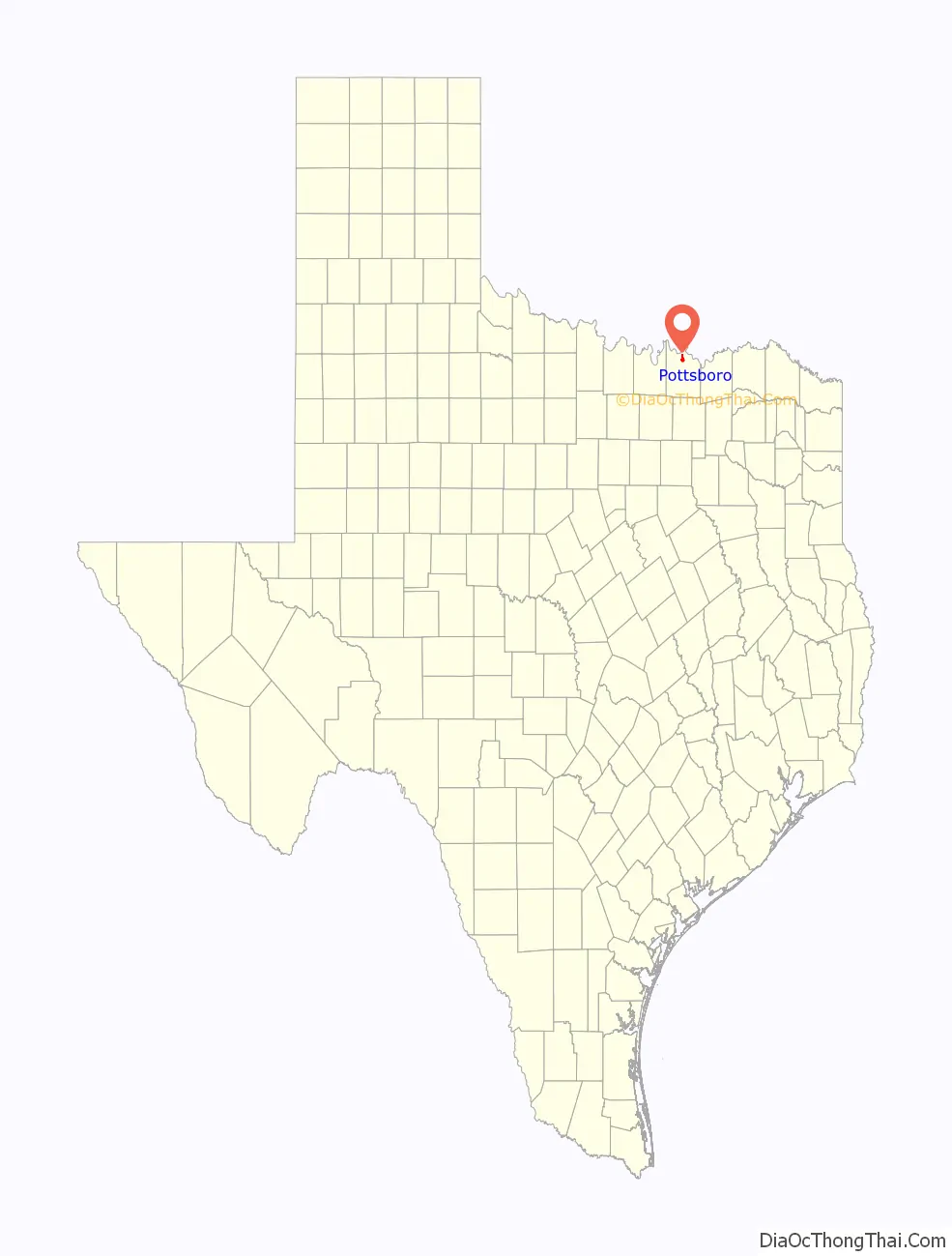
Map of Texas State and its subdivision:- Anderson
- Andrews
- Angelina
- Aransas
- Archer
- Armstrong
- Atascosa
- Austin
- Bailey
- Bandera
- Bastrop
- Baylor
- Bee
- Bell
- Bexar
- Blanco
- Borden
- Bosque
- Bowie
- Brazoria
- Brazos
- Brewster
- Briscoe
- Brooks
- Brown
- Burleson
- Burnet
- Caldwell
- Calhoun
- Callahan
- Cameron
- Camp
- Carson
- Cass
- Castro
- Chambers
- Cherokee
- Childress
- Clay
- Cochran
- Coke
- Coleman
- Collin
- Collingsworth
- Colorado
- Comal
- Comanche
- Concho
- Cooke
- Coryell
- Cottle
- Crane
- Crockett
- Crosby
- Culberson
- Dallam
- Dallas
- Dawson
- Deaf Smith
- Delta
- Denton
- Dewitt
- Dickens
- Dimmit
- Donley
- Duval
- Eastland
- Ector
- Edwards
- El Paso
- Ellis
- Erath
- Falls
- Fannin
- Fayette
- Fisher
- Floyd
- Foard
- Fort Bend
- Franklin
- Freestone
- Frio
- Gaines
- Galveston
- Garza
- Gillespie
- Glasscock
- Goliad
- Gonzales
- Gray
- Grayson
- Gregg
- Grimes
- Guadalupe
- Hale
- Hall
- Hamilton
- Hansford
- Hardeman
- Hardin
- Harris
- Harrison
- Hartley
- Haskell
- Hays
- Hemphill
- Henderson
- Hidalgo
- Hill
- Hockley
- Hood
- Hopkins
- Houston
- Howard
- Hudspeth
- Hunt
- Hutchinson
- Irion
- Jack
- Jackson
- Jasper
- Jeff Davis
- Jefferson
- Jim Hogg
- Jim Wells
- Johnson
- Jones
- Karnes
- Kaufman
- Kendall
- Kenedy
- Kent
- Kerr
- Kimble
- King
- Kinney
- Kleberg
- Knox
- La Salle
- Lamar
- Lamb
- Lampasas
- Lavaca
- Lee
- Leon
- Liberty
- Limestone
- Lipscomb
- Live Oak
- Llano
- Loving
- Lubbock
- Lynn
- Madison
- Marion
- Martin
- Mason
- Matagorda
- Maverick
- McCulloch
- McLennan
- McMullen
- Medina
- Menard
- Midland
- Milam
- Mills
- Mitchell
- Montague
- Montgomery
- Moore
- Morris
- Motley
- Nacogdoches
- Navarro
- Newton
- Nolan
- Nueces
- Ochiltree
- Oldham
- Orange
- Palo Pinto
- Panola
- Parker
- Parmer
- Pecos
- Polk
- Potter
- Presidio
- Rains
- Randall
- Reagan
- Real
- Red River
- Reeves
- Refugio
- Roberts
- Robertson
- Rockwall
- Runnels
- Rusk
- Sabine
- San Augustine
- San Jacinto
- San Patricio
- San Saba
- Schleicher
- Scurry
- Shackelford
- Shelby
- Sherman
- Smith
- Somervell
- Starr
- Stephens
- Sterling
- Stonewall
- Sutton
- Swisher
- Tarrant
- Taylor
- Terrell
- Terry
- Throckmorton
- Titus
- Tom Green
- Travis
- Trinity
- Tyler
- Upshur
- Upton
- Uvalde
- Val Verde
- Van Zandt
- Victoria
- Walker
- Waller
- Ward
- Washington
- Webb
- Wharton
- Wheeler
- Wichita
- Wilbarger
- Willacy
- Williamson
- Wilson
- Winkler
- Wise
- Wood
- Yoakum
- Young
- Zapata
- Zavala
- Alabama
- Alaska
- Arizona
- Arkansas
- California
- Colorado
- Connecticut
- Delaware
- District of Columbia
- Florida
- Georgia
- Hawaii
- Idaho
- Illinois
- Indiana
- Iowa
- Kansas
- Kentucky
- Louisiana
- Maine
- Maryland
- Massachusetts
- Michigan
- Minnesota
- Mississippi
- Missouri
- Montana
- Nebraska
- Nevada
- New Hampshire
- New Jersey
- New Mexico
- New York
- North Carolina
- North Dakota
- Ohio
- Oklahoma
- Oregon
- Pennsylvania
- Rhode Island
- South Carolina
- South Dakota
- Tennessee
- Texas
- Utah
- Vermont
- Virginia
- Washington
- West Virginia
- Wisconsin
- Wyoming