Red Oak is a city in Ellis County, Texas, United States. It is part of the Dallas–Fort Worth metroplex. The population was 10,769 at the 2010 census, up from 4,301 at the 2000 census. The North Central Texas Council of Governments projects that number to grow to 63,329 by the year 2030, as it is on the verge of explosive suburban growth. Red Oak was one of the exterior locations for filming True Stories, directed by David Byrne of Talking Heads and released in 1986.
| Name: | Red Oak city |
|---|---|
| LSAD Code: | 25 |
| LSAD Description: | city (suffix) |
| State: | Texas |
| County: | Ellis County |
| Elevation: | 607 ft (185 m) |
| Total Area: | 15.38 sq mi (39.82 km²) |
| Land Area: | 15.37 sq mi (39.81 km²) |
| Water Area: | 0.01 sq mi (0.01 km²) |
| Total Population: | 14,222 |
| Population Density: | 920/sq mi (360/km²) |
| ZIP code: | 75154 |
| Area code: | 972 |
| FIPS code: | 4861196 |
| GNISfeature ID: | 1344940 |
| Website: | www.redoaktx.org |
Online Interactive Map
Click on ![]() to view map in "full screen" mode.
to view map in "full screen" mode.
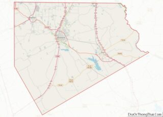
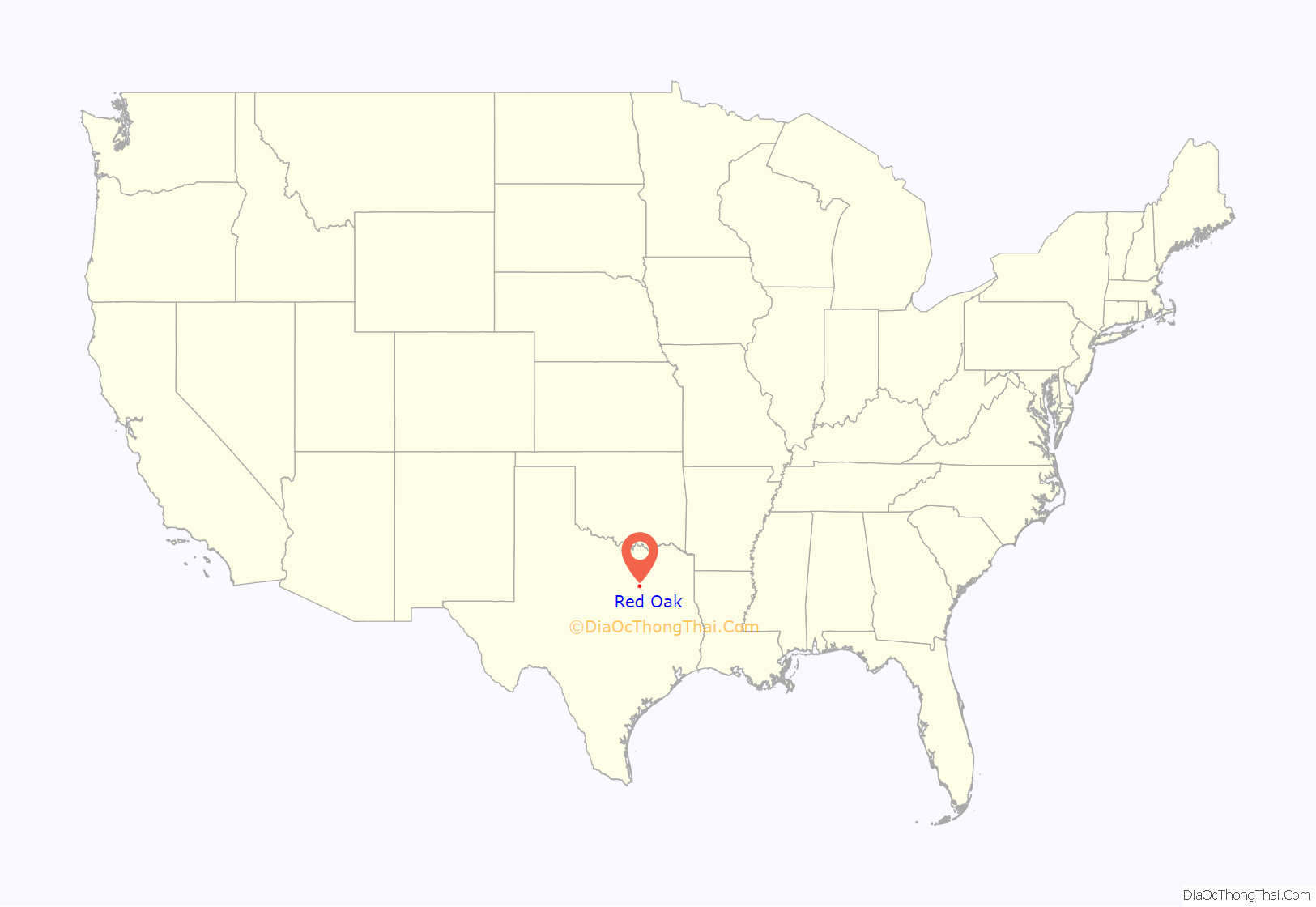
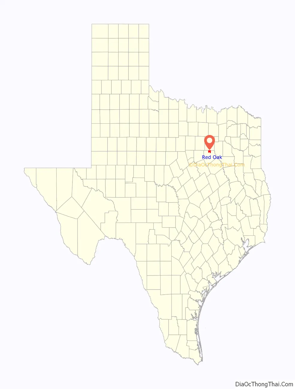
Red Oak location map. Where is Red Oak city?
History
One of the first settlers to this area was James E. Patton and his family in 1844. They settled in what is now known as Ovilla, Texas, located about two miles from Red Oak. Before Red Oak was given its name in 1849, it was known as Possum Trot due to the animal that lived there. The Missouri, Kansas and Texas Railroad began near the Red Oak area in 1884 and was completed in 1890. This railroad allowed people to travel to Dallas and Waco. In 1949, Red Oak became an incorporated town of Ellis, County.
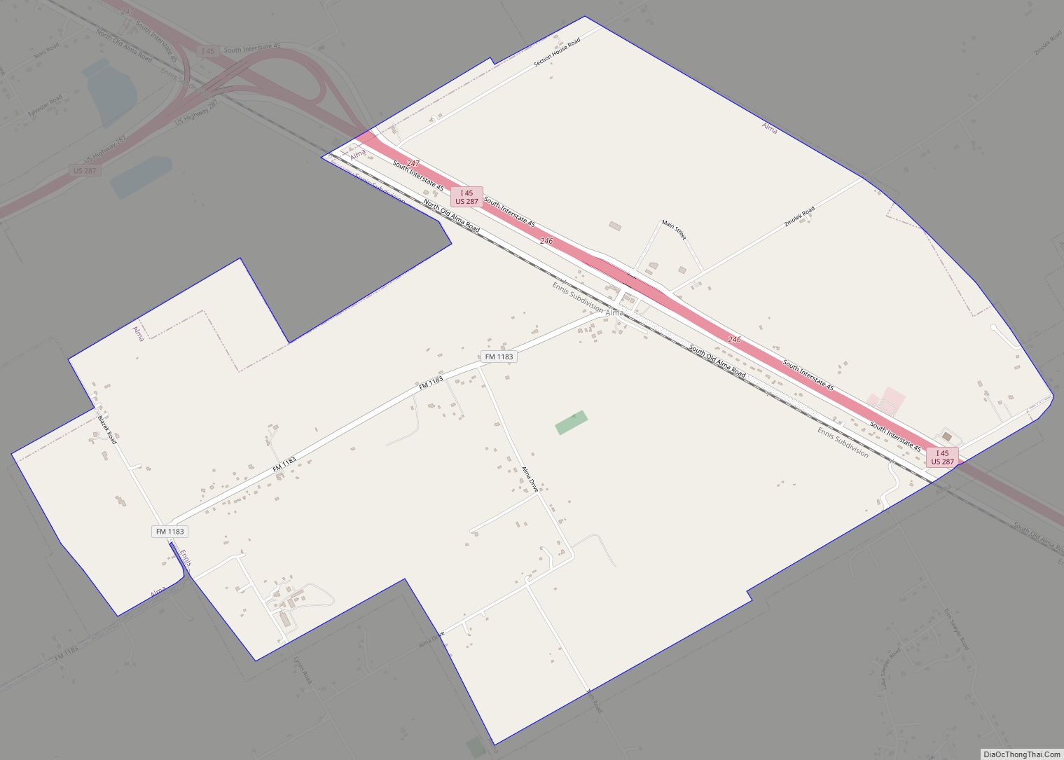
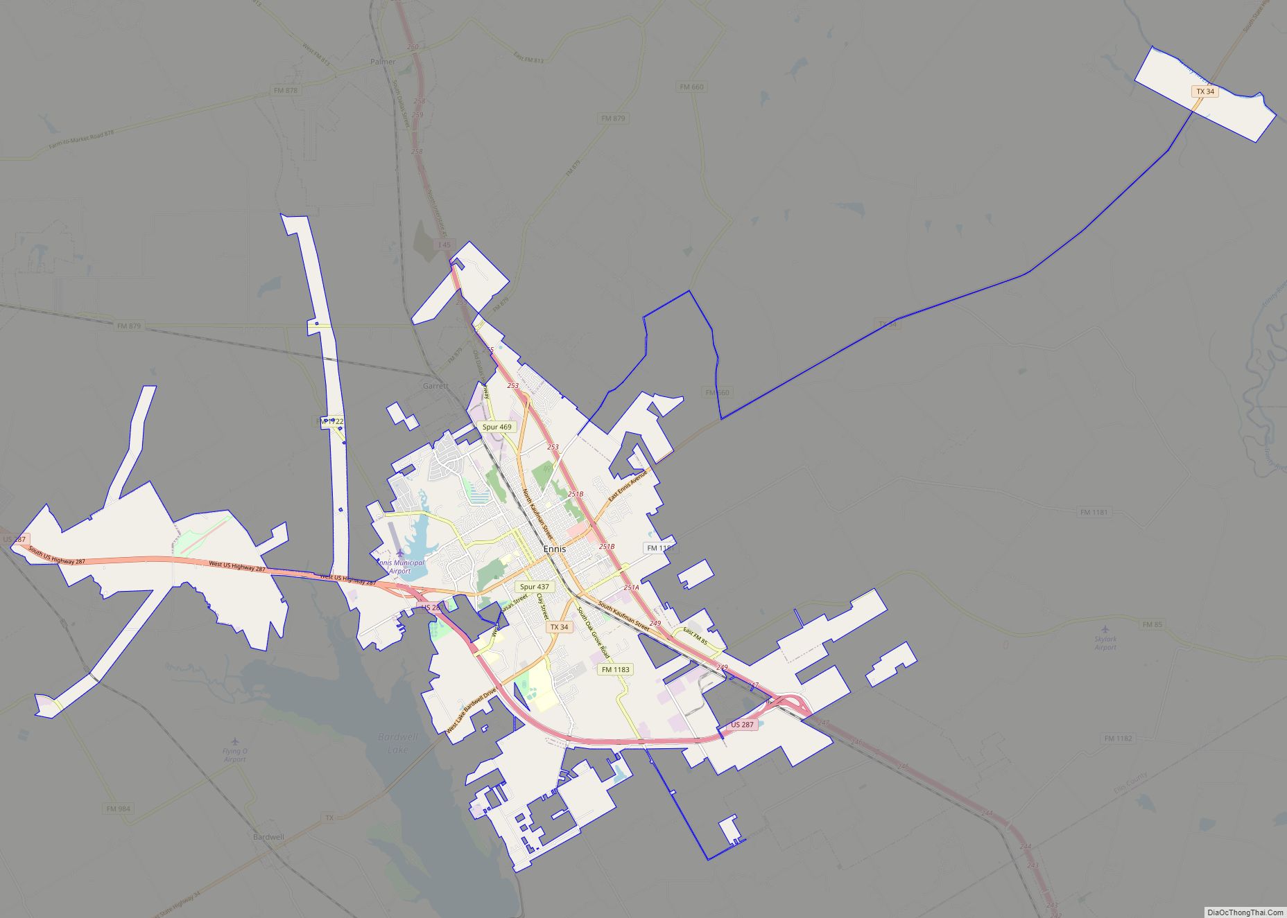
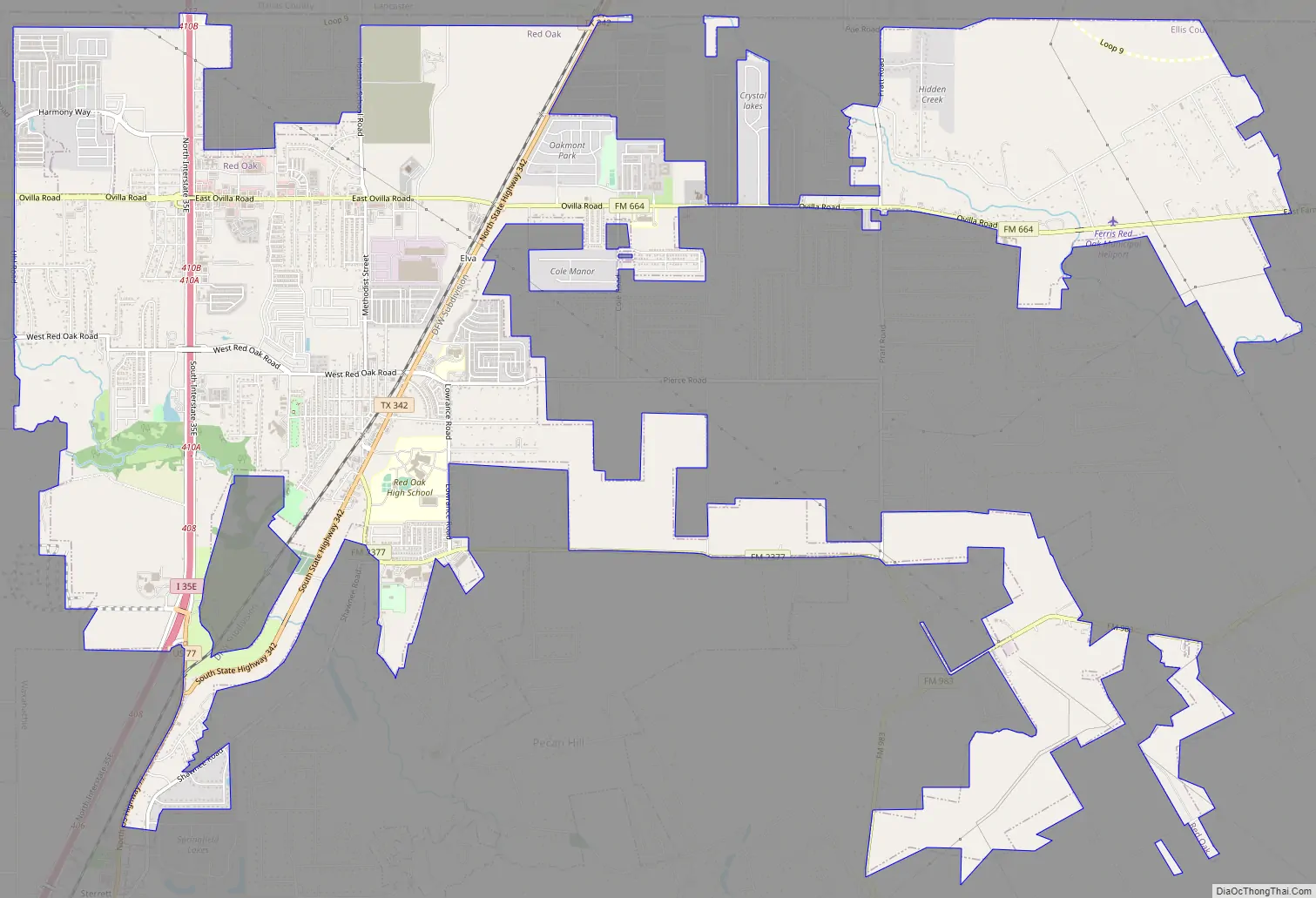
Red Oak Road Map
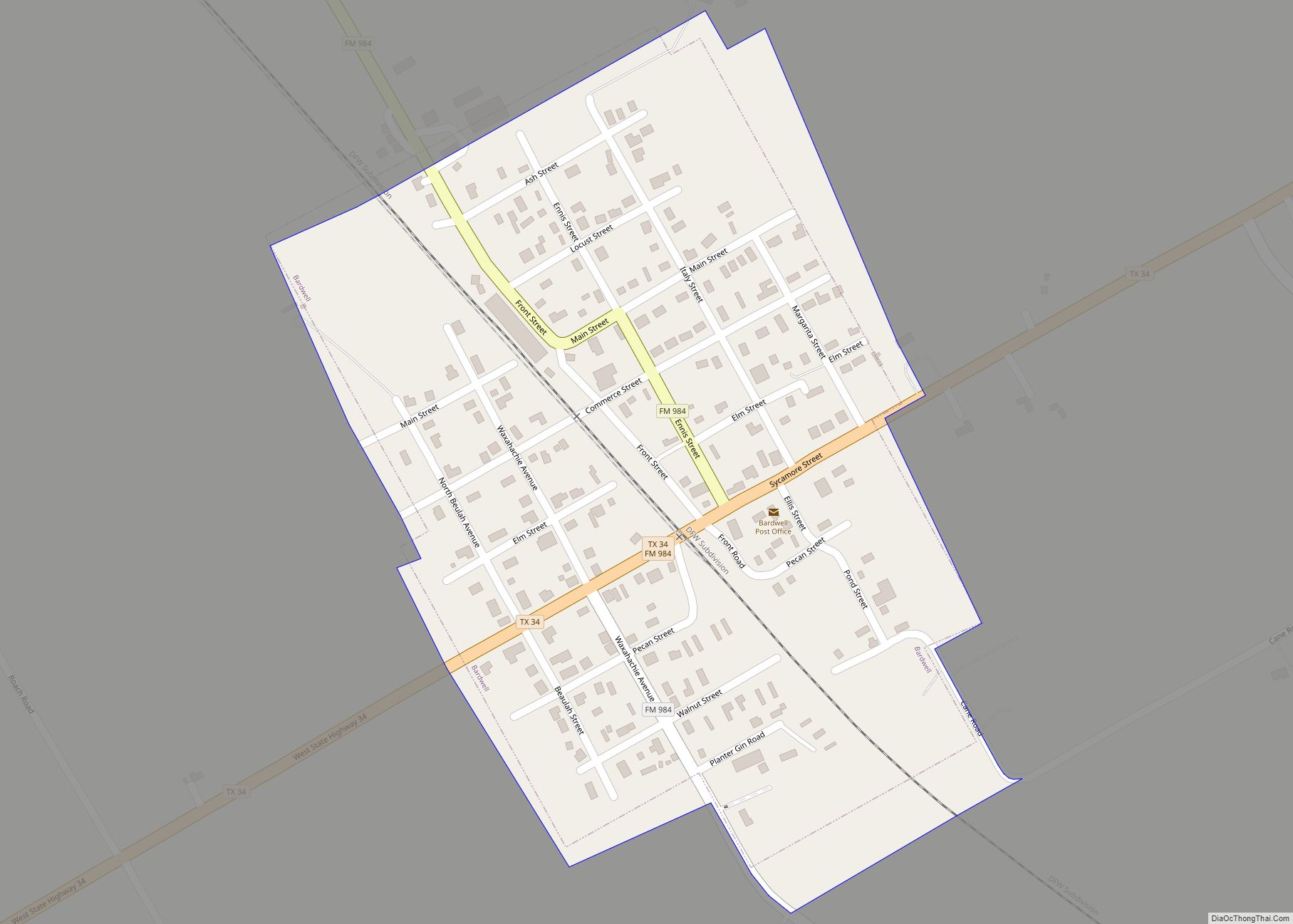
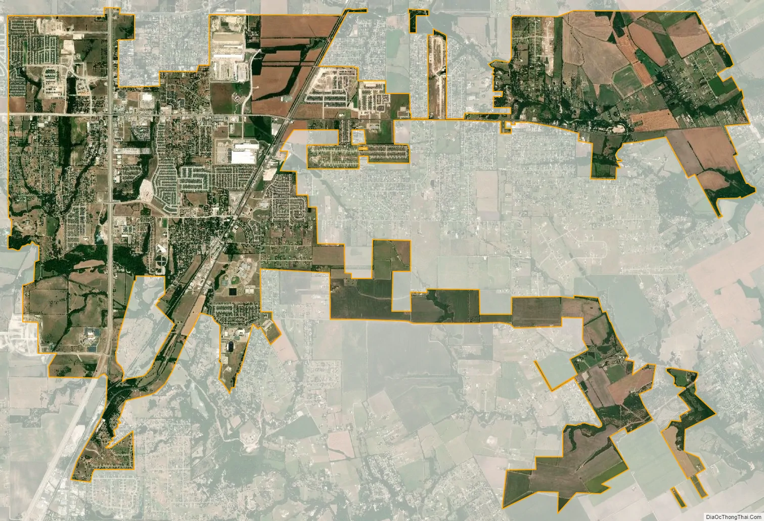
Red Oak city Satellite Map
Geography
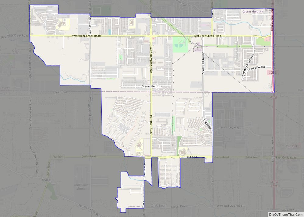
Red Oak is located along the northern edge of Ellis County at 32°31′32″N 96°48′22″W / 32.525607°N 96.806189°W / 32.525607; -96.806189. Adjacent cities are Glenn Heights to the northwest, Lancaster to the north, Ferris to the east, Pecan Hill to the southeast, Waxahachie to the south, and Oak Leaf to the west. It is 18 miles (29 km) south of downtown Dallas via Interstate 35E, which has two exits in Red Oak.
According to the United States Census Bureau, Red Oak has a total area of 15.0 square miles (38.8 km), all of it land.
Climate
The climate in this area is characterized by hot, humid summers and generally mild to cool winters. According to the Köppen Climate Classification system, Red Oak has a humid subtropical climate, abbreviated “Cfa” on climate maps.
See also
Map of Texas State and its subdivision:- Anderson
- Andrews
- Angelina
- Aransas
- Archer
- Armstrong
- Atascosa
- Austin
- Bailey
- Bandera
- Bastrop
- Baylor
- Bee
- Bell
- Bexar
- Blanco
- Borden
- Bosque
- Bowie
- Brazoria
- Brazos
- Brewster
- Briscoe
- Brooks
- Brown
- Burleson
- Burnet
- Caldwell
- Calhoun
- Callahan
- Cameron
- Camp
- Carson
- Cass
- Castro
- Chambers
- Cherokee
- Childress
- Clay
- Cochran
- Coke
- Coleman
- Collin
- Collingsworth
- Colorado
- Comal
- Comanche
- Concho
- Cooke
- Coryell
- Cottle
- Crane
- Crockett
- Crosby
- Culberson
- Dallam
- Dallas
- Dawson
- Deaf Smith
- Delta
- Denton
- Dewitt
- Dickens
- Dimmit
- Donley
- Duval
- Eastland
- Ector
- Edwards
- El Paso
- Ellis
- Erath
- Falls
- Fannin
- Fayette
- Fisher
- Floyd
- Foard
- Fort Bend
- Franklin
- Freestone
- Frio
- Gaines
- Galveston
- Garza
- Gillespie
- Glasscock
- Goliad
- Gonzales
- Gray
- Grayson
- Gregg
- Grimes
- Guadalupe
- Hale
- Hall
- Hamilton
- Hansford
- Hardeman
- Hardin
- Harris
- Harrison
- Hartley
- Haskell
- Hays
- Hemphill
- Henderson
- Hidalgo
- Hill
- Hockley
- Hood
- Hopkins
- Houston
- Howard
- Hudspeth
- Hunt
- Hutchinson
- Irion
- Jack
- Jackson
- Jasper
- Jeff Davis
- Jefferson
- Jim Hogg
- Jim Wells
- Johnson
- Jones
- Karnes
- Kaufman
- Kendall
- Kenedy
- Kent
- Kerr
- Kimble
- King
- Kinney
- Kleberg
- Knox
- La Salle
- Lamar
- Lamb
- Lampasas
- Lavaca
- Lee
- Leon
- Liberty
- Limestone
- Lipscomb
- Live Oak
- Llano
- Loving
- Lubbock
- Lynn
- Madison
- Marion
- Martin
- Mason
- Matagorda
- Maverick
- McCulloch
- McLennan
- McMullen
- Medina
- Menard
- Midland
- Milam
- Mills
- Mitchell
- Montague
- Montgomery
- Moore
- Morris
- Motley
- Nacogdoches
- Navarro
- Newton
- Nolan
- Nueces
- Ochiltree
- Oldham
- Orange
- Palo Pinto
- Panola
- Parker
- Parmer
- Pecos
- Polk
- Potter
- Presidio
- Rains
- Randall
- Reagan
- Real
- Red River
- Reeves
- Refugio
- Roberts
- Robertson
- Rockwall
- Runnels
- Rusk
- Sabine
- San Augustine
- San Jacinto
- San Patricio
- San Saba
- Schleicher
- Scurry
- Shackelford
- Shelby
- Sherman
- Smith
- Somervell
- Starr
- Stephens
- Sterling
- Stonewall
- Sutton
- Swisher
- Tarrant
- Taylor
- Terrell
- Terry
- Throckmorton
- Titus
- Tom Green
- Travis
- Trinity
- Tyler
- Upshur
- Upton
- Uvalde
- Val Verde
- Van Zandt
- Victoria
- Walker
- Waller
- Ward
- Washington
- Webb
- Wharton
- Wheeler
- Wichita
- Wilbarger
- Willacy
- Williamson
- Wilson
- Winkler
- Wise
- Wood
- Yoakum
- Young
- Zapata
- Zavala
- Alabama
- Alaska
- Arizona
- Arkansas
- California
- Colorado
- Connecticut
- Delaware
- District of Columbia
- Florida
- Georgia
- Hawaii
- Idaho
- Illinois
- Indiana
- Iowa
- Kansas
- Kentucky
- Louisiana
- Maine
- Maryland
- Massachusetts
- Michigan
- Minnesota
- Mississippi
- Missouri
- Montana
- Nebraska
- Nevada
- New Hampshire
- New Jersey
- New Mexico
- New York
- North Carolina
- North Dakota
- Ohio
- Oklahoma
- Oregon
- Pennsylvania
- Rhode Island
- South Carolina
- South Dakota
- Tennessee
- Texas
- Utah
- Vermont
- Virginia
- Washington
- West Virginia
- Wisconsin
- Wyoming