Redwater is a city in Bowie County, Texas, United States. The population was 853 at the 2020 census. It is part of the Texarkana metropolitan area.
| Name: | Redwater city |
|---|---|
| LSAD Code: | 25 |
| LSAD Description: | city (suffix) |
| State: | Texas |
| County: | Bowie County |
| Elevation: | 295 ft (90 m) |
| Total Area: | 1.99 sq mi (5.16 km²) |
| Land Area: | 1.99 sq mi (5.15 km²) |
| Water Area: | 0.00 sq mi (0.00 km²) |
| Total Population: | 853 |
| Population Density: | 553.27/sq mi (213.59/km²) |
| ZIP code: | 75573 |
| Area code: | 903 |
| FIPS code: | 4861340 |
| GNISfeature ID: | 1375689 |
| Website: | https://redwatertexas.com/ |
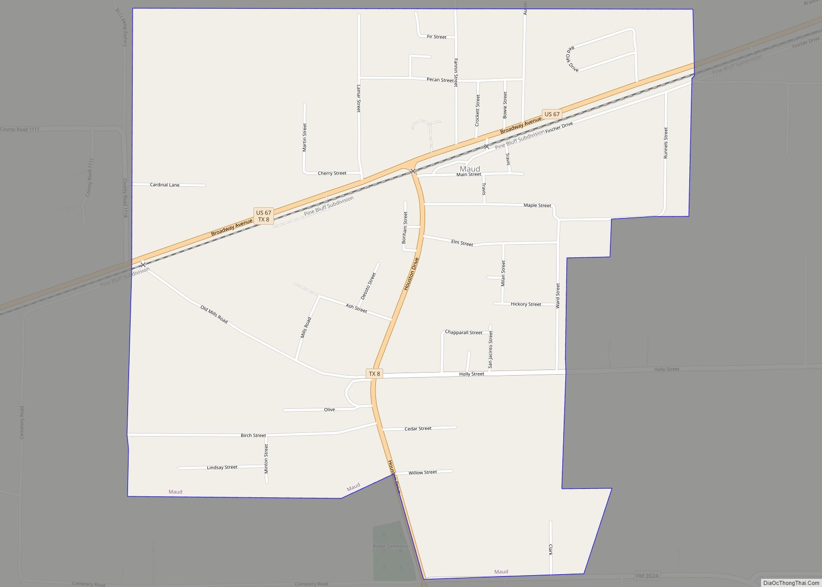
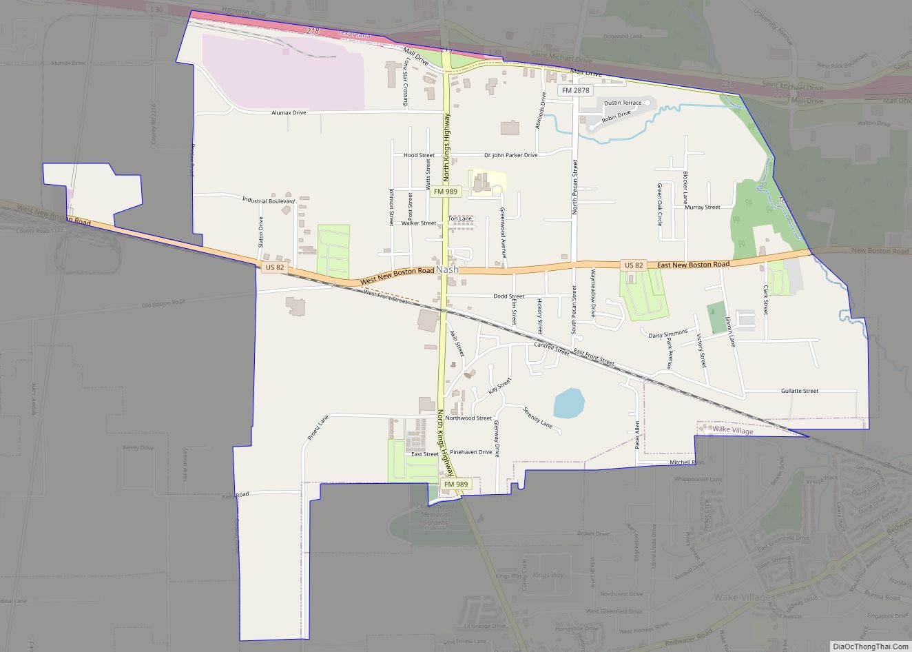
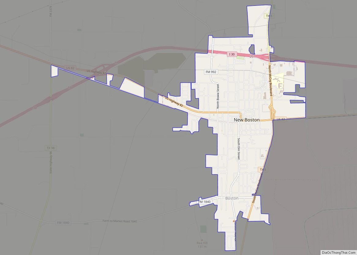
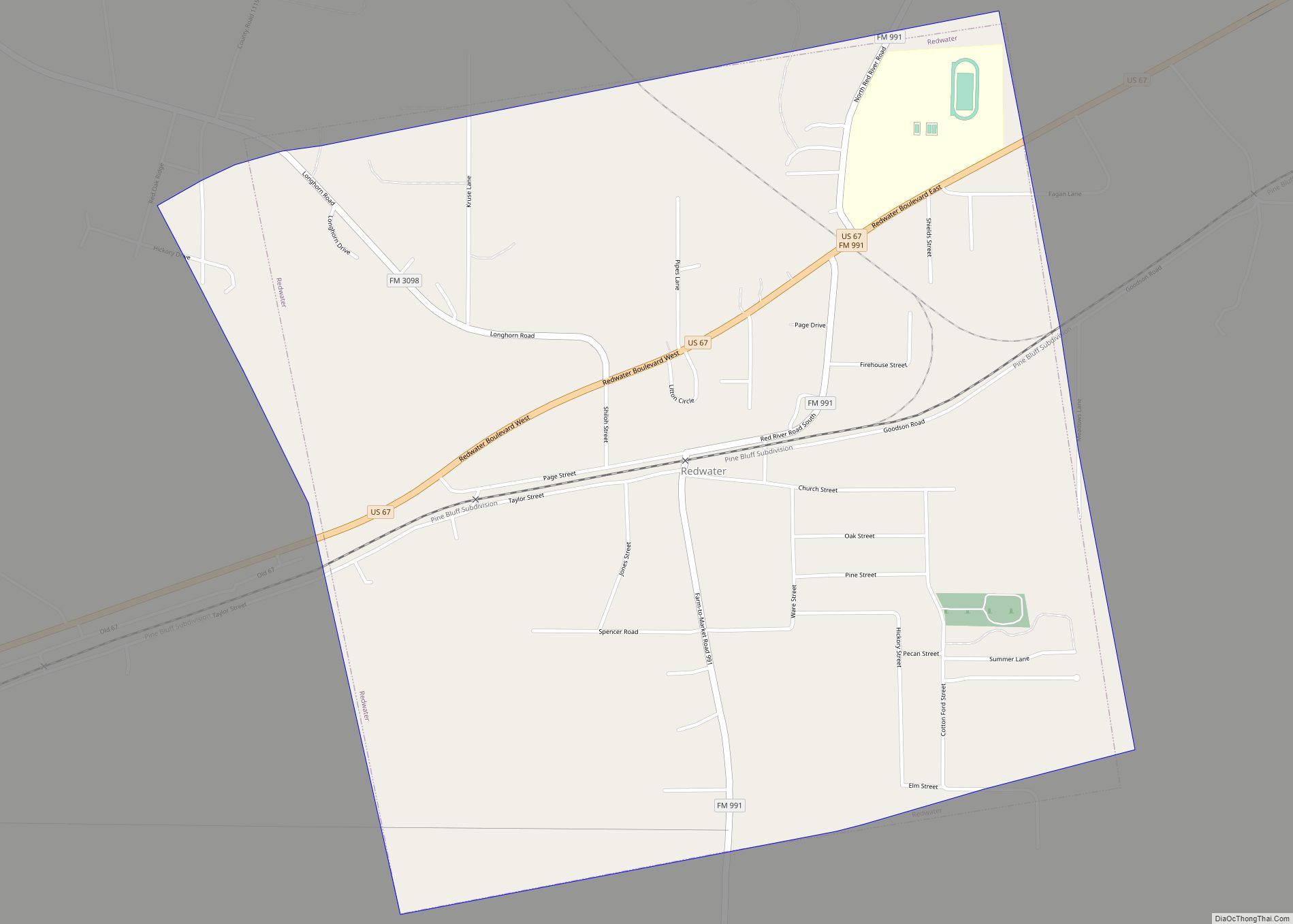
Online Interactive Map
Click on ![]() to view map in "full screen" mode.
to view map in "full screen" mode.
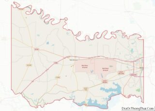
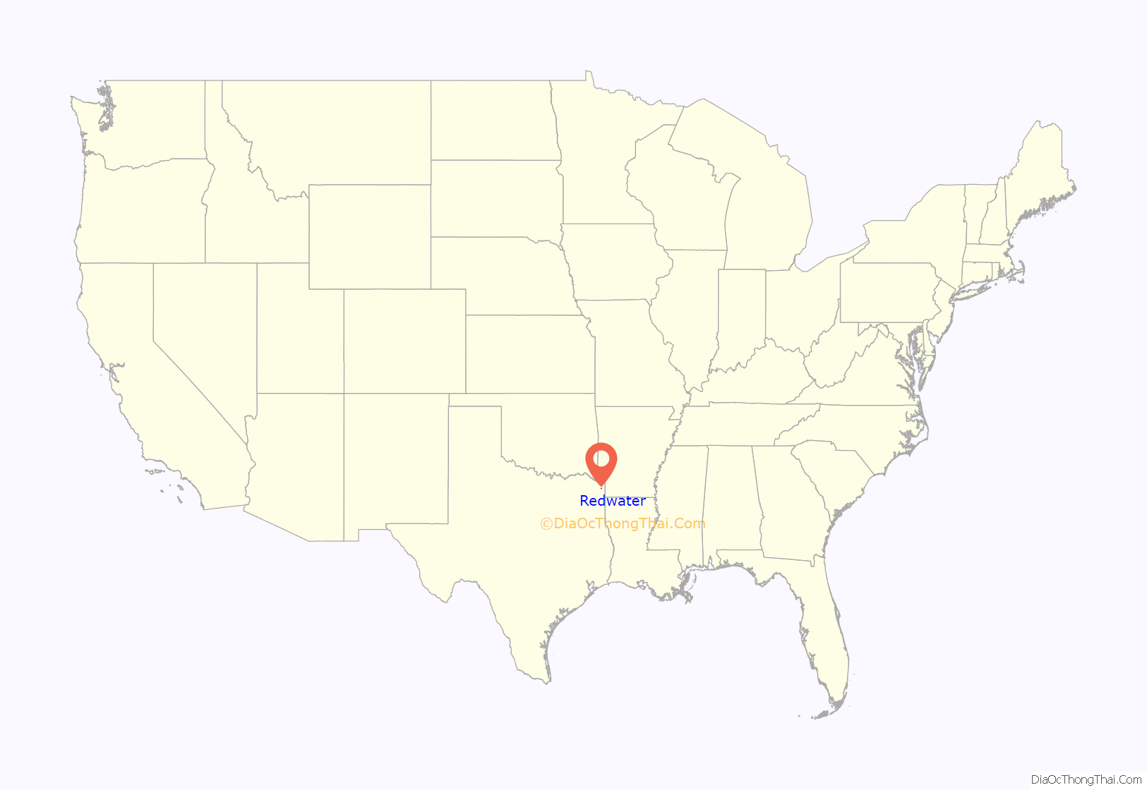
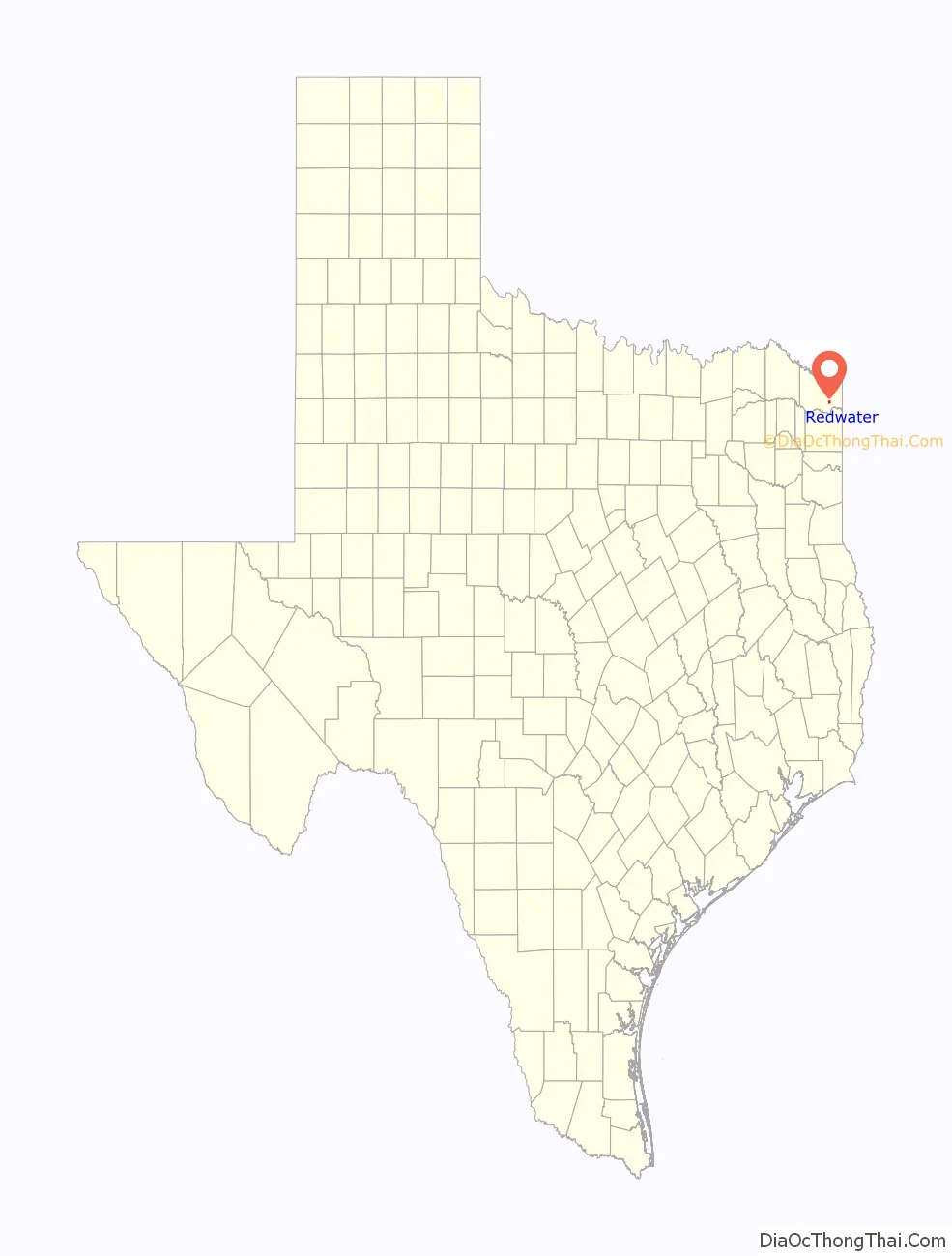
Redwater location map. Where is Redwater city?
History
Redwater is twelve miles southwest of Texarkana in southeastern Bowie County. It grew up in the mid-1870s around a sawmill operated by two men named Daniels and Spence, who named the community Ingersoll, in honor of the agnostic Robert Ingersoll. A post office was established in 1881, and by 1884 the town had an estimated population of fifty.
In 1886 a big revival meeting was held in the town, which resulted in about 110 conversions. Shortly after the meeting residents of the town, no longer wishing to honor the agnostic, decided that the name of the town should be changed. They had just completed a new well that yielded red water, and the town was renamed for this feature. The name of the post office was not officially changed until 1894. Although the population of the town swelled to an estimated 300 by 1892, by 1900 it had fallen to 128. It reached 250 in the 1920s.
During World War II the Red River Army Depot and Lone Star Army Ammunition Plant were built just north of Redwater, providing thousands of jobs for county residents. The population of Redwater jumped from 250 in the early 1940s to 457 by 1950. In 1982 Redwater had a population of 460 and five rated businesses. In 1990 the population was 894.
Redwater is also home to the first recorded set of quadruplets in the United States.
The town is also the birthplace of Kenny Wayne, or also known as “The Original Kenny Wayne.” A Texas Blues and Rock’n’Roll musician, he toured and played many stages, including the Four States Fair & Rodeo. He also started up and formerly had been the front-man of bands such as “Kenny Wayne and the Kamotions,” “Grapes of Wrath,” and “The Starchiefs.” He was the founder and General Manager of Candy Records. He was based out of Irving, Texas, at the time of his death on August 23, 2021.
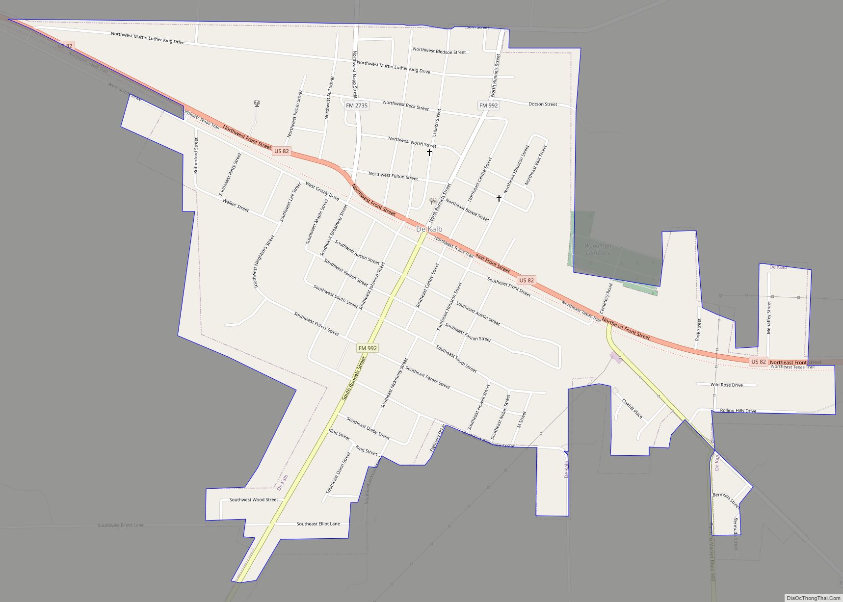
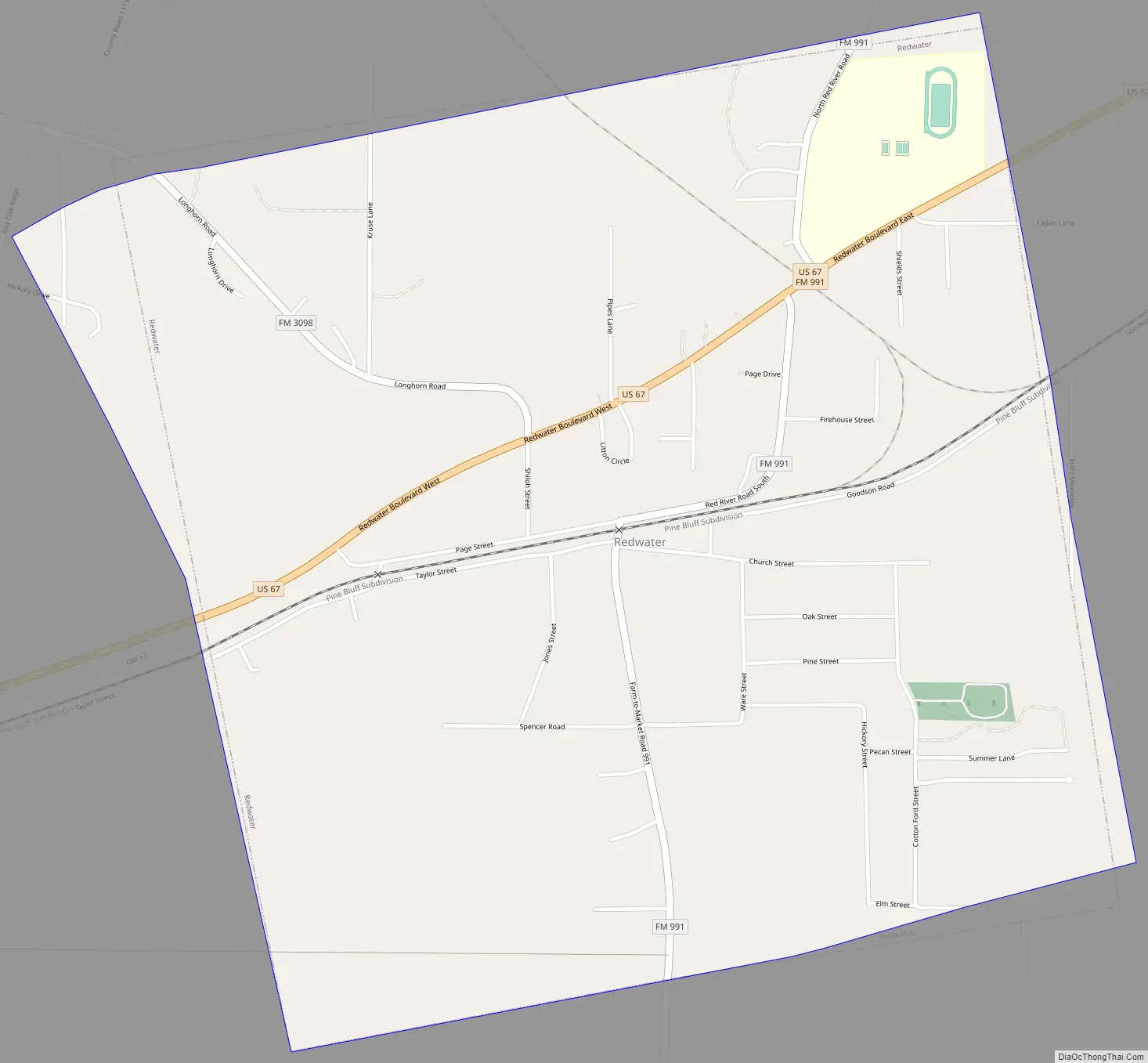
Redwater Road Map
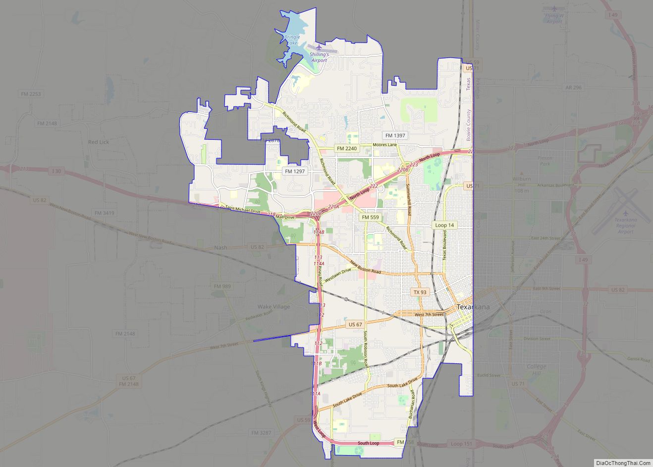
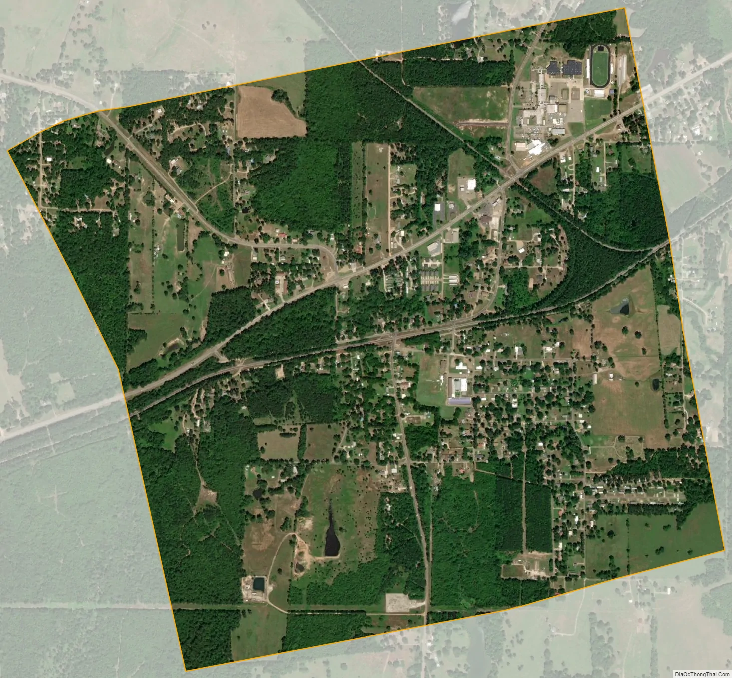
Redwater city Satellite Map
Geography
Redwater is located at 33°21′37″N 94°15′14″W / 33.36028°N 94.25389°W / 33.36028; -94.25389 (33.360255, –94.253993). According to the United States Census Bureau, the city has a total area of 2.0 square miles (5.2 km), all of it land.
See also
Map of Texas State and its subdivision:- Anderson
- Andrews
- Angelina
- Aransas
- Archer
- Armstrong
- Atascosa
- Austin
- Bailey
- Bandera
- Bastrop
- Baylor
- Bee
- Bell
- Bexar
- Blanco
- Borden
- Bosque
- Bowie
- Brazoria
- Brazos
- Brewster
- Briscoe
- Brooks
- Brown
- Burleson
- Burnet
- Caldwell
- Calhoun
- Callahan
- Cameron
- Camp
- Carson
- Cass
- Castro
- Chambers
- Cherokee
- Childress
- Clay
- Cochran
- Coke
- Coleman
- Collin
- Collingsworth
- Colorado
- Comal
- Comanche
- Concho
- Cooke
- Coryell
- Cottle
- Crane
- Crockett
- Crosby
- Culberson
- Dallam
- Dallas
- Dawson
- Deaf Smith
- Delta
- Denton
- Dewitt
- Dickens
- Dimmit
- Donley
- Duval
- Eastland
- Ector
- Edwards
- El Paso
- Ellis
- Erath
- Falls
- Fannin
- Fayette
- Fisher
- Floyd
- Foard
- Fort Bend
- Franklin
- Freestone
- Frio
- Gaines
- Galveston
- Garza
- Gillespie
- Glasscock
- Goliad
- Gonzales
- Gray
- Grayson
- Gregg
- Grimes
- Guadalupe
- Hale
- Hall
- Hamilton
- Hansford
- Hardeman
- Hardin
- Harris
- Harrison
- Hartley
- Haskell
- Hays
- Hemphill
- Henderson
- Hidalgo
- Hill
- Hockley
- Hood
- Hopkins
- Houston
- Howard
- Hudspeth
- Hunt
- Hutchinson
- Irion
- Jack
- Jackson
- Jasper
- Jeff Davis
- Jefferson
- Jim Hogg
- Jim Wells
- Johnson
- Jones
- Karnes
- Kaufman
- Kendall
- Kenedy
- Kent
- Kerr
- Kimble
- King
- Kinney
- Kleberg
- Knox
- La Salle
- Lamar
- Lamb
- Lampasas
- Lavaca
- Lee
- Leon
- Liberty
- Limestone
- Lipscomb
- Live Oak
- Llano
- Loving
- Lubbock
- Lynn
- Madison
- Marion
- Martin
- Mason
- Matagorda
- Maverick
- McCulloch
- McLennan
- McMullen
- Medina
- Menard
- Midland
- Milam
- Mills
- Mitchell
- Montague
- Montgomery
- Moore
- Morris
- Motley
- Nacogdoches
- Navarro
- Newton
- Nolan
- Nueces
- Ochiltree
- Oldham
- Orange
- Palo Pinto
- Panola
- Parker
- Parmer
- Pecos
- Polk
- Potter
- Presidio
- Rains
- Randall
- Reagan
- Real
- Red River
- Reeves
- Refugio
- Roberts
- Robertson
- Rockwall
- Runnels
- Rusk
- Sabine
- San Augustine
- San Jacinto
- San Patricio
- San Saba
- Schleicher
- Scurry
- Shackelford
- Shelby
- Sherman
- Smith
- Somervell
- Starr
- Stephens
- Sterling
- Stonewall
- Sutton
- Swisher
- Tarrant
- Taylor
- Terrell
- Terry
- Throckmorton
- Titus
- Tom Green
- Travis
- Trinity
- Tyler
- Upshur
- Upton
- Uvalde
- Val Verde
- Van Zandt
- Victoria
- Walker
- Waller
- Ward
- Washington
- Webb
- Wharton
- Wheeler
- Wichita
- Wilbarger
- Willacy
- Williamson
- Wilson
- Winkler
- Wise
- Wood
- Yoakum
- Young
- Zapata
- Zavala
- Alabama
- Alaska
- Arizona
- Arkansas
- California
- Colorado
- Connecticut
- Delaware
- District of Columbia
- Florida
- Georgia
- Hawaii
- Idaho
- Illinois
- Indiana
- Iowa
- Kansas
- Kentucky
- Louisiana
- Maine
- Maryland
- Massachusetts
- Michigan
- Minnesota
- Mississippi
- Missouri
- Montana
- Nebraska
- Nevada
- New Hampshire
- New Jersey
- New Mexico
- New York
- North Carolina
- North Dakota
- Ohio
- Oklahoma
- Oregon
- Pennsylvania
- Rhode Island
- South Carolina
- South Dakota
- Tennessee
- Texas
- Utah
- Vermont
- Virginia
- Washington
- West Virginia
- Wisconsin
- Wyoming