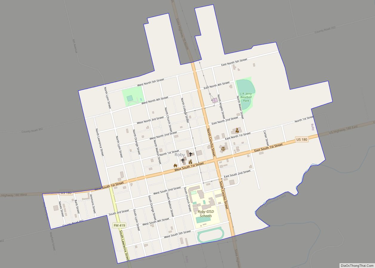
Roby is a city in and the county seat of Fisher County, Texas, United States. The population was 643 at the 2010 census.
| Name: | Roby city |
|---|---|
| LSAD Code: | 25 |
| LSAD Description: | city (suffix) |
| State: | Texas |
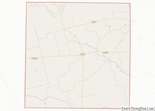
| County: | Fisher County |
| Elevation: | 1,962 ft (598 m) |
| Total Area: | 0.72 sq mi (1.86 km²) |
| Land Area: | 0.72 sq mi (1.86 km²) |
| Water Area: | 0.00 sq mi (0.00 km²) |
| Total Population: | 643 |
| Population Density: | 860.92/sq mi (332.30/km²) |
| ZIP code: | 79543 |
| Area code: | 325 |
| FIPS code: | 4862612 |
| GNISfeature ID: | 1375773 |
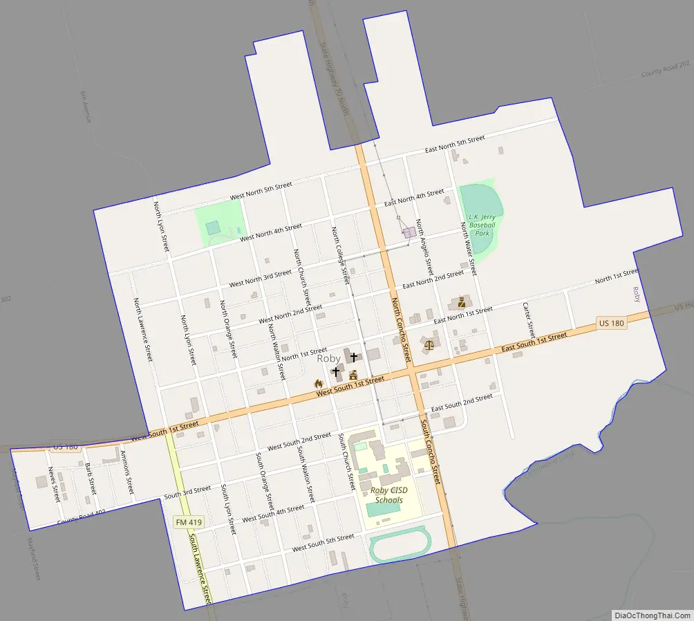
Online Interactive Map
Click on ![]() to view map in "full screen" mode.
to view map in "full screen" mode.
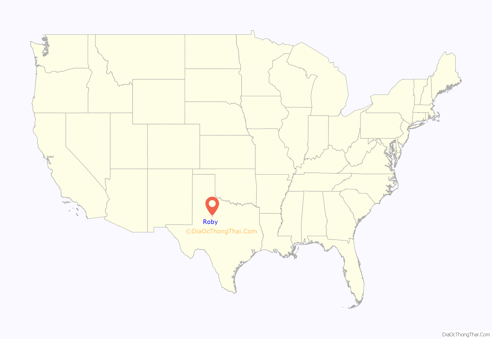
Roby location map. Where is Roby city?
History
In 1885, shortly after Fisher County was organized, a dispute arose between business partners from Mississippi and a town called Fisher. Both wanted their land to host the courthouse. The partners were M.L. and D.C. Roby, and the town of Fisher is now called North Roby.
In 1886, construction was begun on the new courthouse and a school and post office opened. The community had 13 houses by that summer. In 1890, the population was estimated to be 300 people and the town had a hotel, two general stores, Baptist and Methodist churches, a restaurant, and a weekly newspaper, the Fisher County Call.
Roby had no jail until 1892, when one was constructed out of stone. A new jail was built in 1926 out of brick, and remained in use until 2016. In 2016, a new jail was built and the brick jailhouse was declared a historic landmark.
It has had three different courthouses during its existence, unlike many Texas county seats, which have preserved and restored original courthouses. The most recent courthouse was built in 1972, and is strikingly modern in comparison to those found in many Texas counties.
In 1898, the first bank was chartered and the Roby school district was formed. The area covered by the school district grew slowly over the years as it absorbed rural schools in the vicinity, including those of Longworth and McCaulley.
By 1900, the population had grown to 712 residents. By 1914, it had Baptist, Methodist, Presbyterian, and Nazarene churches. Telephone service was also established as of 1914.
Roby received its first railroad in 1907 (the Texas Central), and in 1915, the Roby and Northern laid 4.4 miles of track to connect Roby proper with North Roby. It actually increased during the Great Depression—reaching 904 for the 1940 Census. The Roby and Northern line was scrapped during World War II and its rails went to the war effort.
Roby incorporated in 1915, and its population grew to 801 in 1930 and 904 in 1940. The population peaked in 1950 with 1,040 people calling Roby and North Roby home, and 60 businesses. The city was plagued by insufficient water throughout its life and finally in 1953 during a long period of drought, water from Oak Creek Lake at Blackwell was piped in. By 1970, the population had fallen below 800 with 22 businesses in operation. It further declined to 616 in 1990 before rebounding to 673 in 2000, and as of the 2010 Census, the population had fallen to 643.
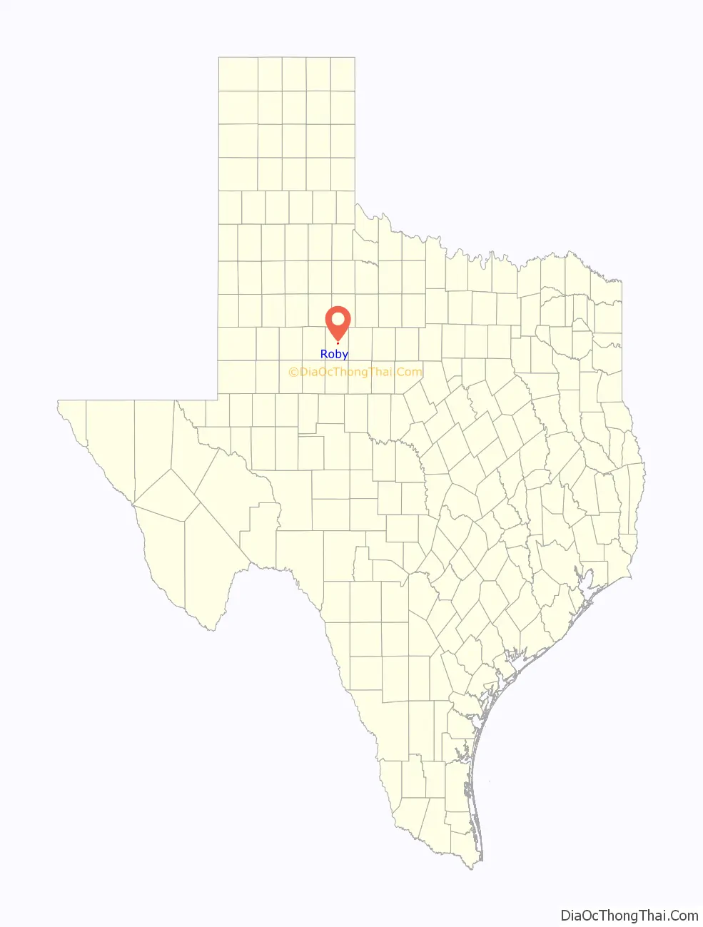
Roby Road Map
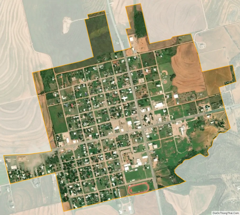
Roby city Satellite Map
Geography
Roby is located at 32°44′41″N 100°22′52″W / 32.74472°N 100.38111°W / 32.74472; -100.38111 (32.744839, –100.381100).
According to the United States Census Bureau, the city has a total area of 0.7 square miles (1.8 km), all of it land. Roby is surrounded by wide cotton fields.
See also
Map of Texas State and its subdivision:- Anderson
- Andrews
- Angelina
- Aransas
- Archer
- Armstrong
- Atascosa
- Austin
- Bailey
- Bandera
- Bastrop
- Baylor
- Bee
- Bell
- Bexar
- Blanco
- Borden
- Bosque
- Bowie
- Brazoria
- Brazos
- Brewster
- Briscoe
- Brooks
- Brown
- Burleson
- Burnet
- Caldwell
- Calhoun
- Callahan
- Cameron
- Camp
- Carson
- Cass
- Castro
- Chambers
- Cherokee
- Childress
- Clay
- Cochran
- Coke
- Coleman
- Collin
- Collingsworth
- Colorado
- Comal
- Comanche
- Concho
- Cooke
- Coryell
- Cottle
- Crane
- Crockett
- Crosby
- Culberson
- Dallam
- Dallas
- Dawson
- Deaf Smith
- Delta
- Denton
- Dewitt
- Dickens
- Dimmit
- Donley
- Duval
- Eastland
- Ector
- Edwards
- El Paso
- Ellis
- Erath
- Falls
- Fannin
- Fayette
- Fisher
- Floyd
- Foard
- Fort Bend
- Franklin
- Freestone
- Frio
- Gaines
- Galveston
- Garza
- Gillespie
- Glasscock
- Goliad
- Gonzales
- Gray
- Grayson
- Gregg
- Grimes
- Guadalupe
- Hale
- Hall
- Hamilton
- Hansford
- Hardeman
- Hardin
- Harris
- Harrison
- Hartley
- Haskell
- Hays
- Hemphill
- Henderson
- Hidalgo
- Hill
- Hockley
- Hood
- Hopkins
- Houston
- Howard
- Hudspeth
- Hunt
- Hutchinson
- Irion
- Jack
- Jackson
- Jasper
- Jeff Davis
- Jefferson
- Jim Hogg
- Jim Wells
- Johnson
- Jones
- Karnes
- Kaufman
- Kendall
- Kenedy
- Kent
- Kerr
- Kimble
- King
- Kinney
- Kleberg
- Knox
- La Salle
- Lamar
- Lamb
- Lampasas
- Lavaca
- Lee
- Leon
- Liberty
- Limestone
- Lipscomb
- Live Oak
- Llano
- Loving
- Lubbock
- Lynn
- Madison
- Marion
- Martin
- Mason
- Matagorda
- Maverick
- McCulloch
- McLennan
- McMullen
- Medina
- Menard
- Midland
- Milam
- Mills
- Mitchell
- Montague
- Montgomery
- Moore
- Morris
- Motley
- Nacogdoches
- Navarro
- Newton
- Nolan
- Nueces
- Ochiltree
- Oldham
- Orange
- Palo Pinto
- Panola
- Parker
- Parmer
- Pecos
- Polk
- Potter
- Presidio
- Rains
- Randall
- Reagan
- Real
- Red River
- Reeves
- Refugio
- Roberts
- Robertson
- Rockwall
- Runnels
- Rusk
- Sabine
- San Augustine
- San Jacinto
- San Patricio
- San Saba
- Schleicher
- Scurry
- Shackelford
- Shelby
- Sherman
- Smith
- Somervell
- Starr
- Stephens
- Sterling
- Stonewall
- Sutton
- Swisher
- Tarrant
- Taylor
- Terrell
- Terry
- Throckmorton
- Titus
- Tom Green
- Travis
- Trinity
- Tyler
- Upshur
- Upton
- Uvalde
- Val Verde
- Van Zandt
- Victoria
- Walker
- Waller
- Ward
- Washington
- Webb
- Wharton
- Wheeler
- Wichita
- Wilbarger
- Willacy
- Williamson
- Wilson
- Winkler
- Wise
- Wood
- Yoakum
- Young
- Zapata
- Zavala
- Alabama
- Alaska
- Arizona
- Arkansas
- California
- Colorado
- Connecticut
- Delaware
- District of Columbia
- Florida
- Georgia
- Hawaii
- Idaho
- Illinois
- Indiana
- Iowa
- Kansas
- Kentucky
- Louisiana
- Maine
- Maryland
- Massachusetts
- Michigan
- Minnesota
- Mississippi
- Missouri
- Montana
- Nebraska
- Nevada
- New Hampshire
- New Jersey
- New Mexico
- New York
- North Carolina
- North Dakota
- Ohio
- Oklahoma
- Oregon
- Pennsylvania
- Rhode Island
- South Carolina
- South Dakota
- Tennessee
- Texas
- Utah
- Vermont
- Virginia
- Washington
- West Virginia
- Wisconsin
- Wyoming