Hamlin is a city in Jones and Fisher Counties in the U.S. state of Texas. The population was 2,124 at the 2010 census, and in 2018, the estimated population was 1,997. The Jones County portion of Hamlin is part of the Abilene, Texas metropolitan area.
| Name: | Hamlin city |
|---|---|
| LSAD Code: | 25 |
| LSAD Description: | city (suffix) |
| State: | Texas |
| County: | Fisher County, Jones County |
| Elevation: | 1,722 ft (525 m) |
| Total Area: | 5.30 sq mi (13.72 km²) |
| Land Area: | 5.29 sq mi (13.69 km²) |
| Water Area: | 0.01 sq mi (0.03 km²) |
| Total Population: | 2,124 |
| Population Density: | 382.26/sq mi (147.58/km²) |
| ZIP code: | 79520 |
| Area code: | 325 |
| FIPS code: | 4831964 |
| GNISfeature ID: | 1337284 |
Online Interactive Map
Click on ![]() to view map in "full screen" mode.
to view map in "full screen" mode.
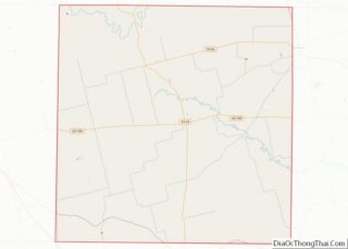
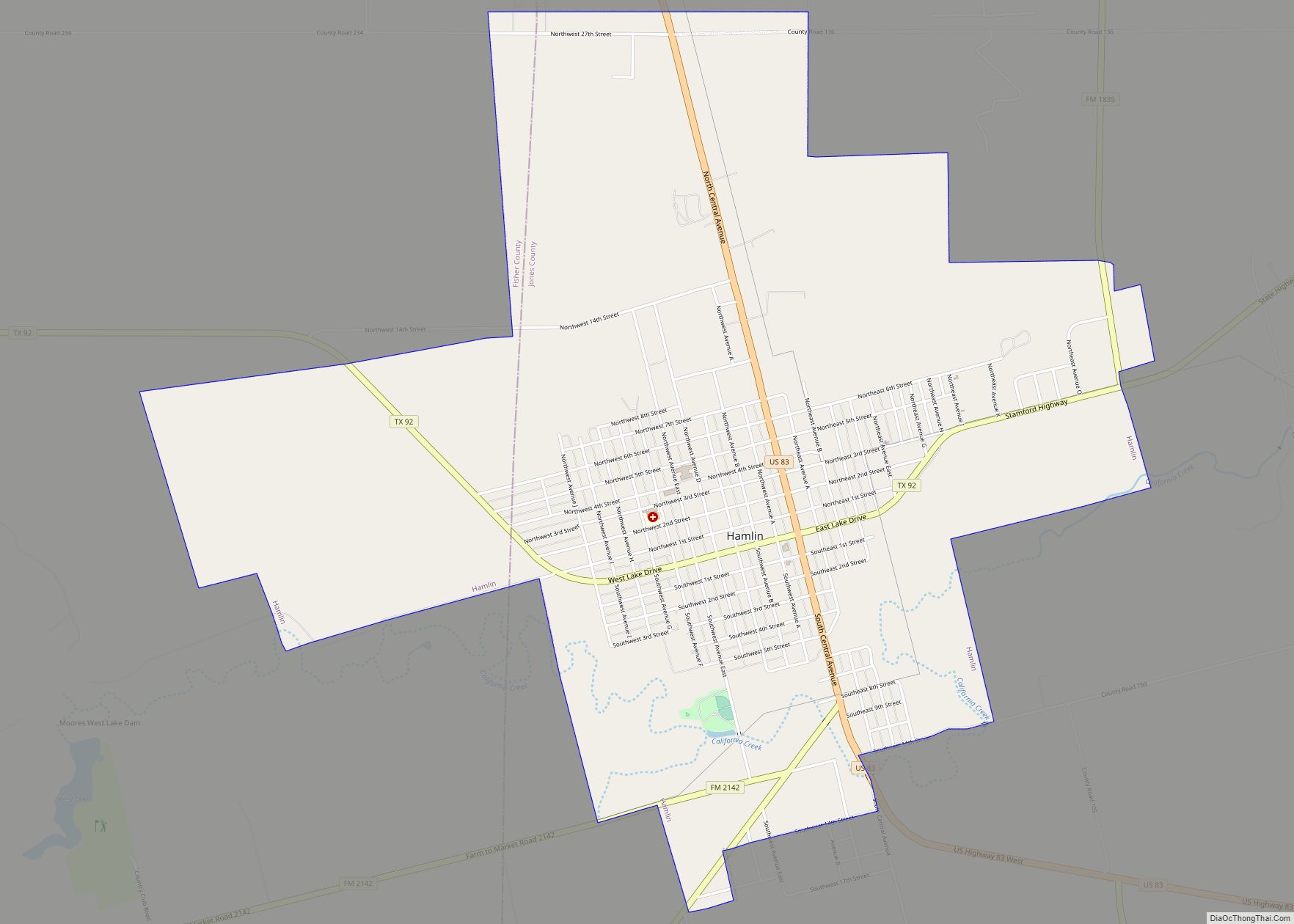
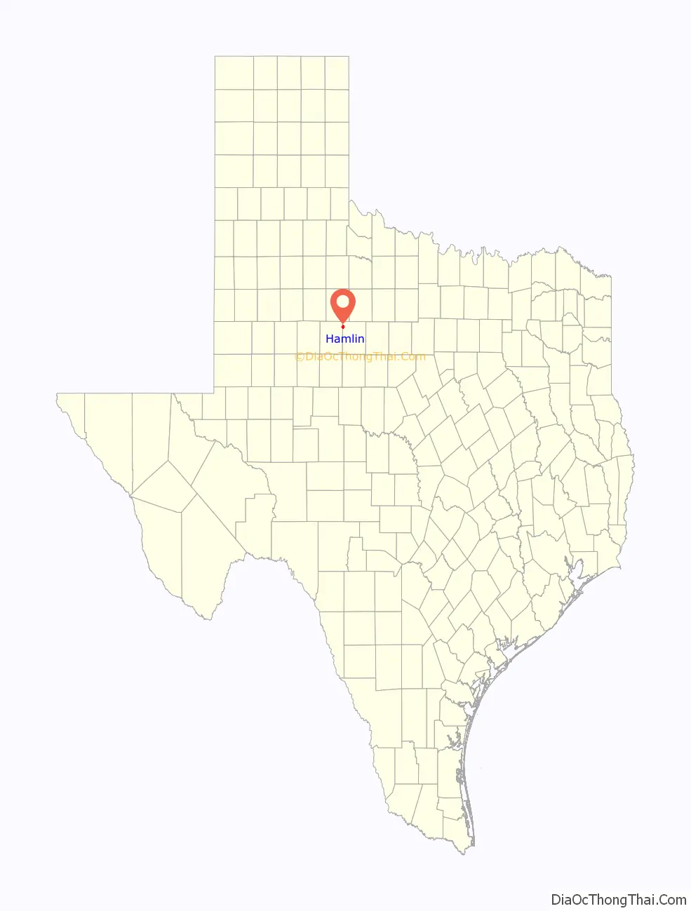
Hamlin location map. Where is Hamlin city?

History
The city was named for W. H. Hamlin, a railroad official of the Kansas City, Mexico and Orient Railway. The Orient reached Hamlin in 1906 and was followed by the Texas Central Railroad within a few years and by the Abilene and Southern Railroad in 1910. The arrival of the railroad was announced in 1902, and the first train arrived in 1906. The county’s first gypsum plant was constructed 6 miles (10 km) outside of Hamlin in 1903. Business boomed with the rail service, and the town included gins, a cottonseed oil mill, and a number of other businesses. Oil was discovered in 1928, which also contributed to the economy. The Hamlin Herald was first published in 1906 and is still in print. Hamlin later gained its first and only hospital, Hamlin Memorial Hospital, in 1948; it is operated by Hamlin Hospital District and owns Hamlin Medical Clinic.
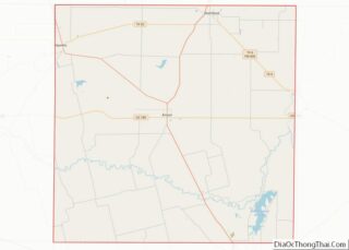
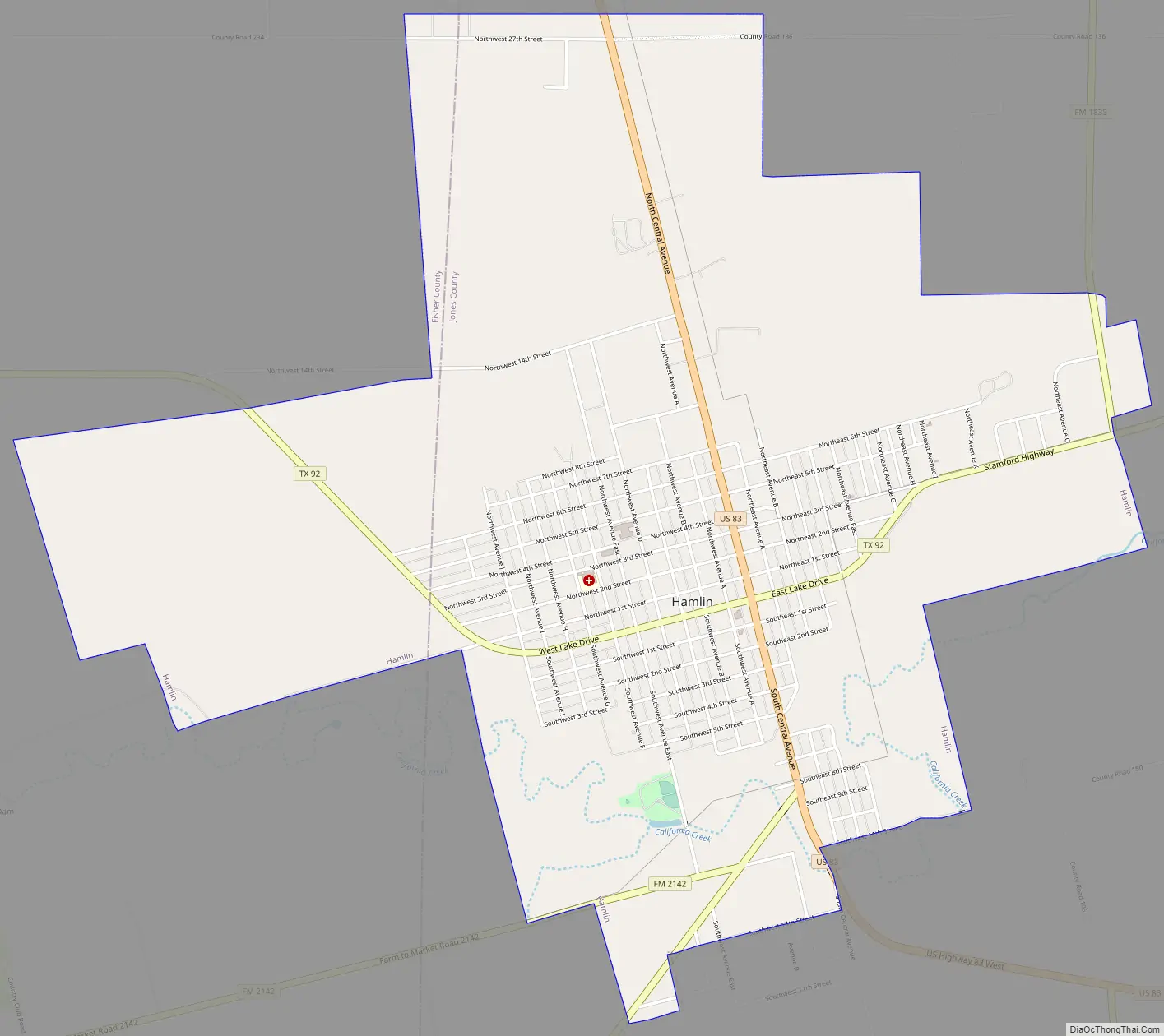
Hamlin Road Map
Hamlin city Satellite Map

Geography
Hamlin is located in northwestern Jones County at 32°53′12″N 100°7′31″W / 32.88667°N 100.12528°W / 32.88667; -100.12528 (32.886690, –100.125207). The city limits extend west into Fisher County, although no people lived in this portion as of 2010. According to the United States Census Bureau, the city has a total area of 5.3 square miles (13.7 km), of which 0.01 square miles (0.03 km), or 0.20%, is covered by water.
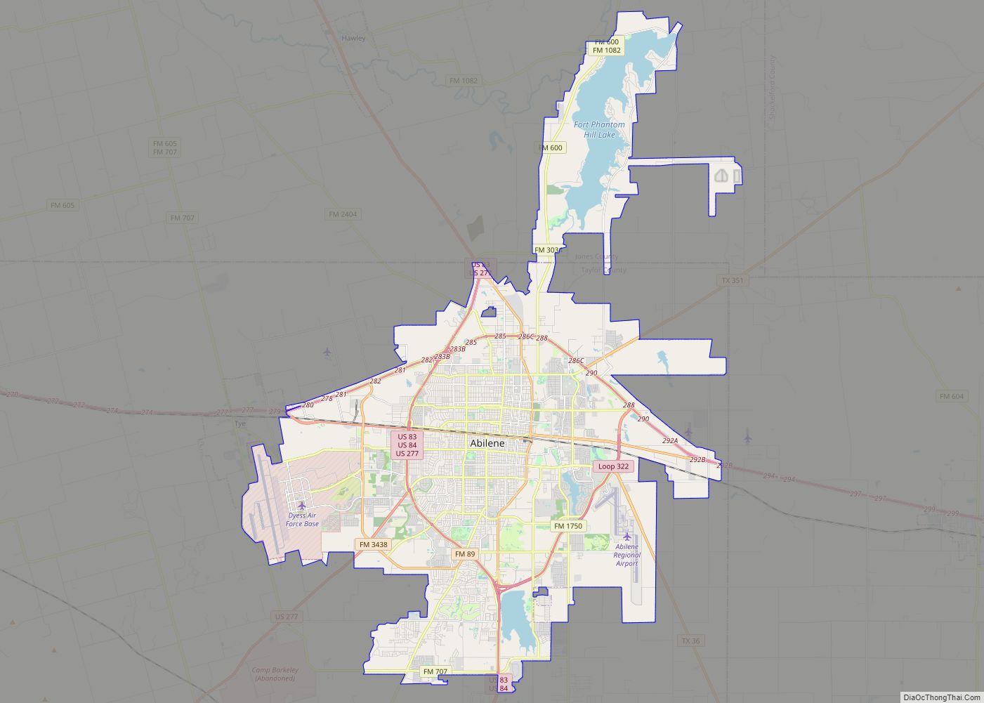
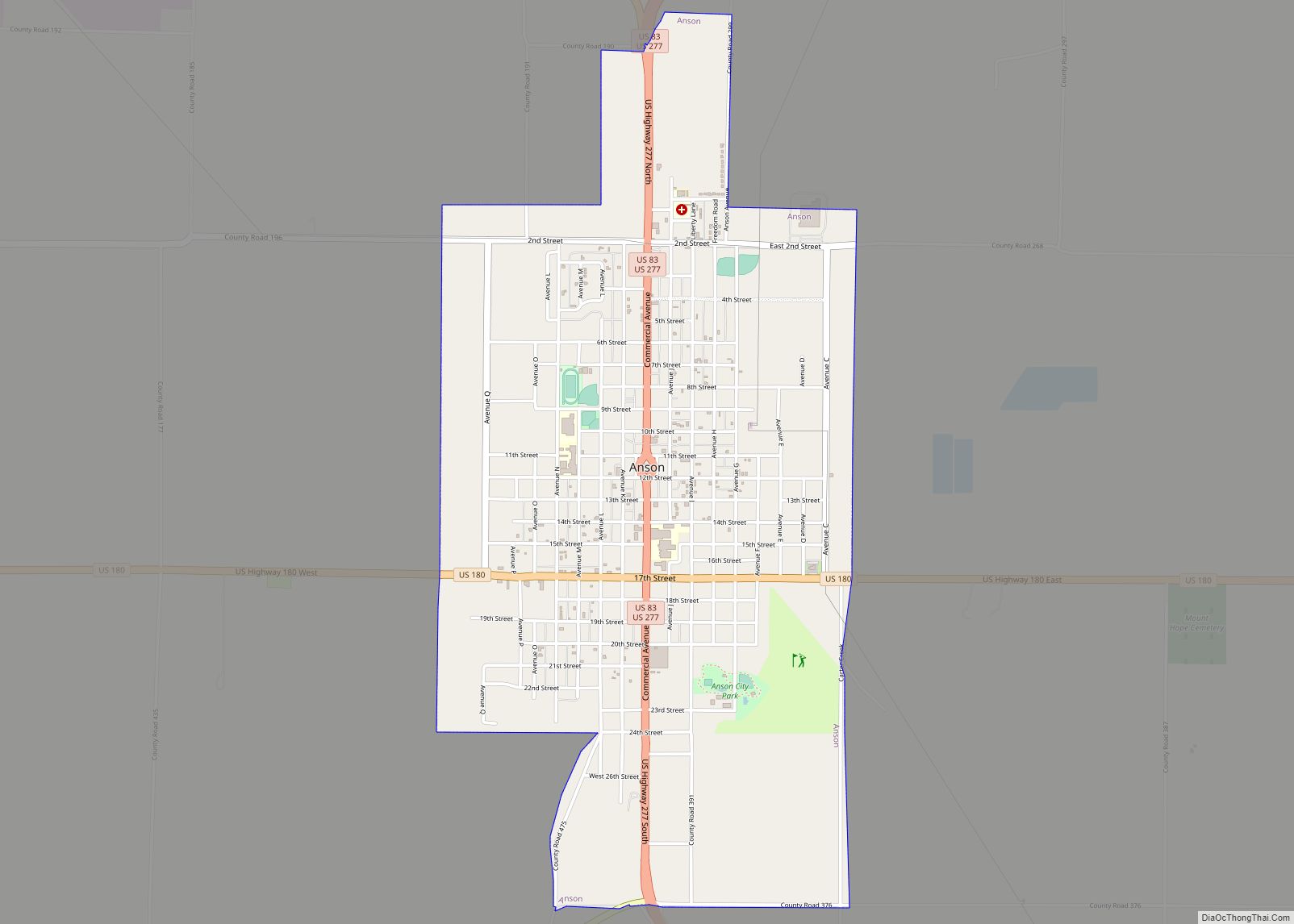
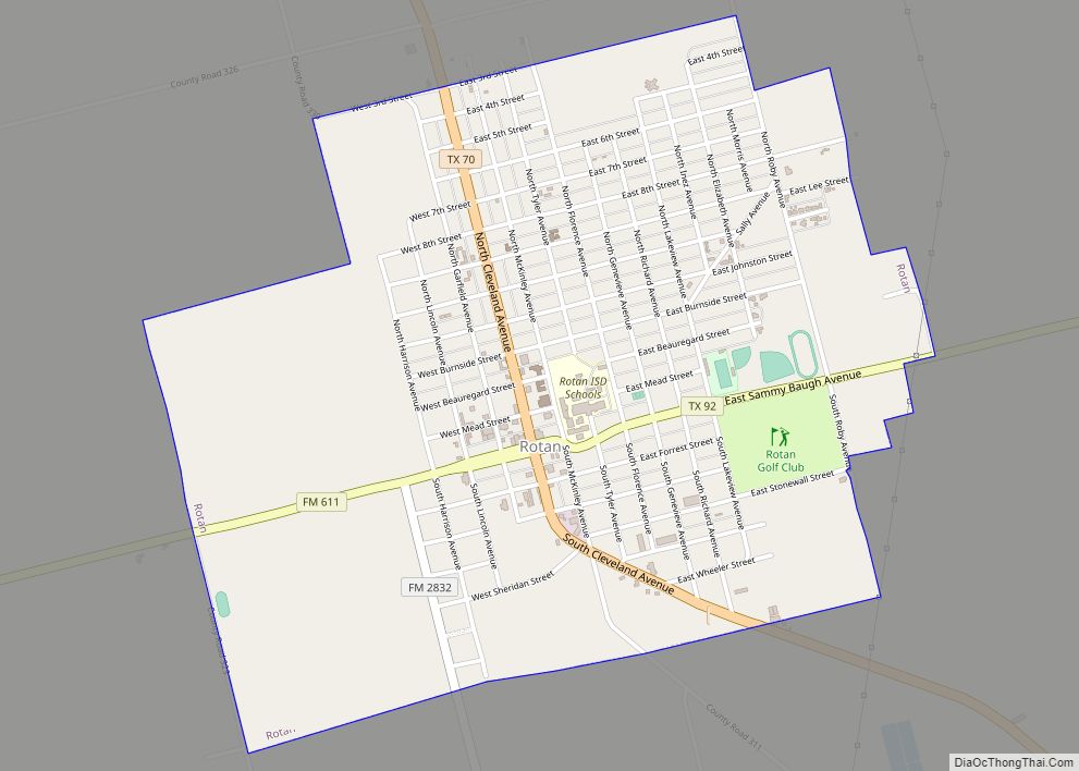
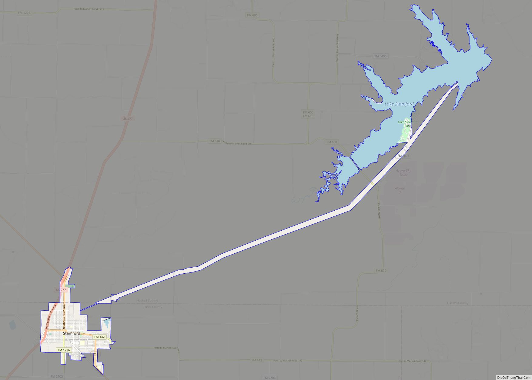
U.S. Route 83 passes through the center of Hamlin as Central Avenue, leading north 18 miles (29 km) to Aspermont and southeast 17 miles (27 km) to Anson, the Jones County seat. Abilene is 42 miles (68 km) to the southeast. Texas State Highway 92 crosses Hamlin as Lake Drive, leading east 20 miles (32 km) to Stamford and west 20 miles to Rotan.
See also
Map of Texas State and its subdivision:- Anderson
- Andrews
- Angelina
- Aransas
- Archer
- Armstrong
- Atascosa
- Austin
- Bailey
- Bandera
- Bastrop
- Baylor
- Bee
- Bell
- Bexar
- Blanco
- Borden
- Bosque
- Bowie
- Brazoria
- Brazos
- Brewster
- Briscoe
- Brooks
- Brown
- Burleson
- Burnet
- Caldwell
- Calhoun
- Callahan
- Cameron
- Camp
- Carson
- Cass
- Castro
- Chambers
- Cherokee
- Childress
- Clay
- Cochran
- Coke
- Coleman
- Collin
- Collingsworth
- Colorado
- Comal
- Comanche
- Concho
- Cooke
- Coryell
- Cottle
- Crane
- Crockett
- Crosby
- Culberson
- Dallam
- Dallas
- Dawson
- Deaf Smith
- Delta
- Denton
- Dewitt
- Dickens
- Dimmit
- Donley
- Duval
- Eastland
- Ector
- Edwards
- El Paso
- Ellis
- Erath
- Falls
- Fannin
- Fayette
- Fisher
- Floyd
- Foard
- Fort Bend
- Franklin
- Freestone
- Frio
- Gaines
- Galveston
- Garza
- Gillespie
- Glasscock
- Goliad
- Gonzales
- Gray
- Grayson
- Gregg
- Grimes
- Guadalupe
- Hale
- Hall
- Hamilton
- Hansford
- Hardeman
- Hardin
- Harris
- Harrison
- Hartley
- Haskell
- Hays
- Hemphill
- Henderson
- Hidalgo
- Hill
- Hockley
- Hood
- Hopkins
- Houston
- Howard
- Hudspeth
- Hunt
- Hutchinson
- Irion
- Jack
- Jackson
- Jasper
- Jeff Davis
- Jefferson
- Jim Hogg
- Jim Wells
- Johnson
- Jones
- Karnes
- Kaufman
- Kendall
- Kenedy
- Kent
- Kerr
- Kimble
- King
- Kinney
- Kleberg
- Knox
- La Salle
- Lamar
- Lamb
- Lampasas
- Lavaca
- Lee
- Leon
- Liberty
- Limestone
- Lipscomb
- Live Oak
- Llano
- Loving
- Lubbock
- Lynn
- Madison
- Marion
- Martin
- Mason
- Matagorda
- Maverick
- McCulloch
- McLennan
- McMullen
- Medina
- Menard
- Midland
- Milam
- Mills
- Mitchell
- Montague
- Montgomery
- Moore
- Morris
- Motley
- Nacogdoches
- Navarro
- Newton
- Nolan
- Nueces
- Ochiltree
- Oldham
- Orange
- Palo Pinto
- Panola
- Parker
- Parmer
- Pecos
- Polk
- Potter
- Presidio
- Rains
- Randall
- Reagan
- Real
- Red River
- Reeves
- Refugio
- Roberts
- Robertson
- Rockwall
- Runnels
- Rusk
- Sabine
- San Augustine
- San Jacinto
- San Patricio
- San Saba
- Schleicher
- Scurry
- Shackelford
- Shelby
- Sherman
- Smith
- Somervell
- Starr
- Stephens
- Sterling
- Stonewall
- Sutton
- Swisher
- Tarrant
- Taylor
- Terrell
- Terry
- Throckmorton
- Titus
- Tom Green
- Travis
- Trinity
- Tyler
- Upshur
- Upton
- Uvalde
- Val Verde
- Van Zandt
- Victoria
- Walker
- Waller
- Ward
- Washington
- Webb
- Wharton
- Wheeler
- Wichita
- Wilbarger
- Willacy
- Williamson
- Wilson
- Winkler
- Wise
- Wood
- Yoakum
- Young
- Zapata
- Zavala
- Alabama
- Alaska
- Arizona
- Arkansas
- California
- Colorado
- Connecticut
- Delaware
- District of Columbia
- Florida
- Georgia
- Hawaii
- Idaho
- Illinois
- Indiana
- Iowa
- Kansas
- Kentucky
- Louisiana
- Maine
- Maryland
- Massachusetts
- Michigan
- Minnesota
- Mississippi
- Missouri
- Montana
- Nebraska
- Nevada
- New Hampshire
- New Jersey
- New Mexico
- New York
- North Carolina
- North Dakota
- Ohio
- Oklahoma
- Oregon
- Pennsylvania
- Rhode Island
- South Carolina
- South Dakota
- Tennessee
- Texas
- Utah
- Vermont
- Virginia
- Washington
- West Virginia
- Wisconsin
- Wyoming