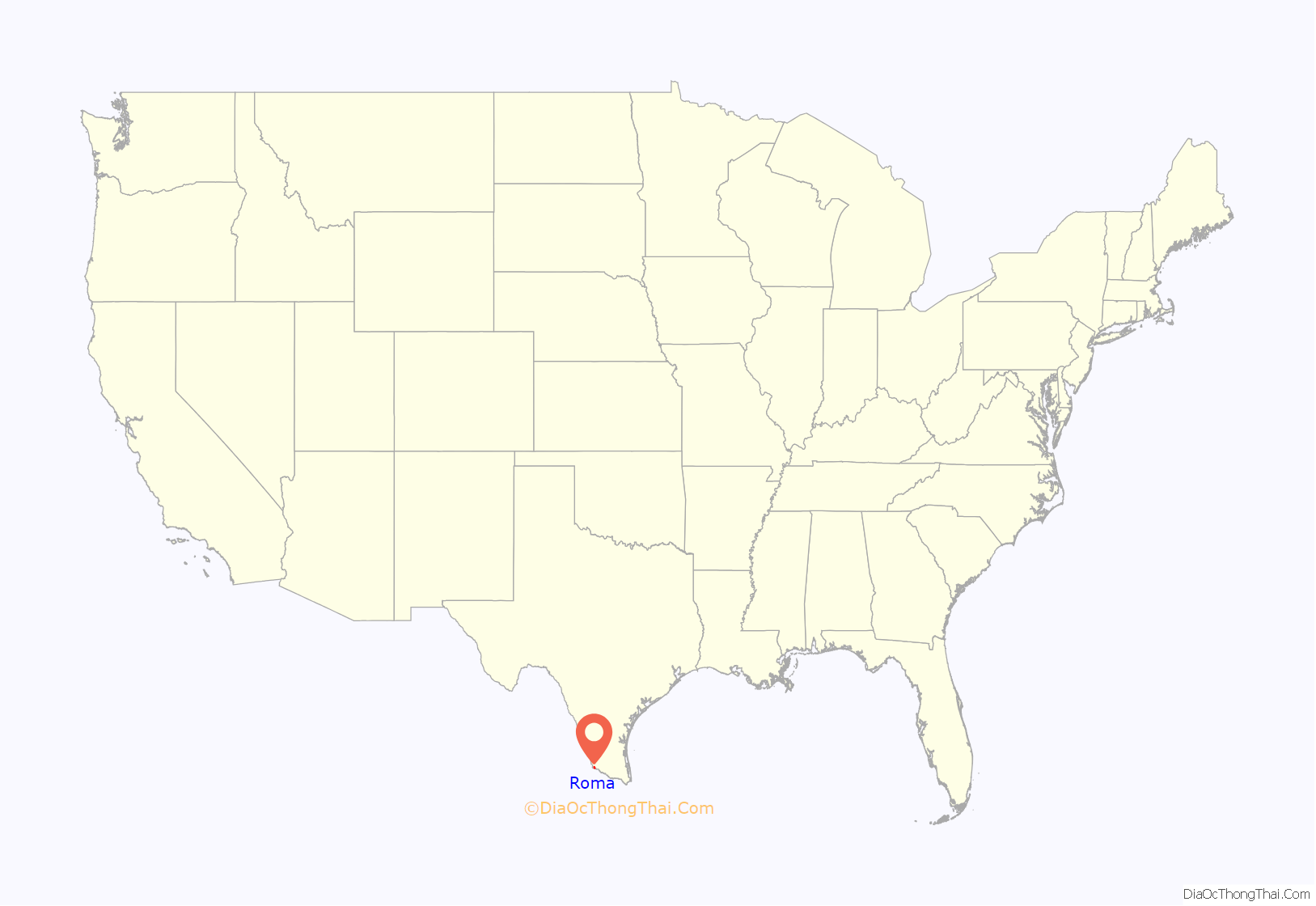
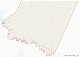
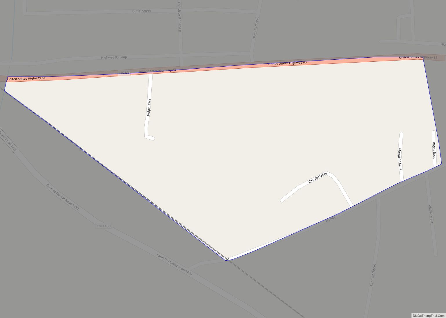
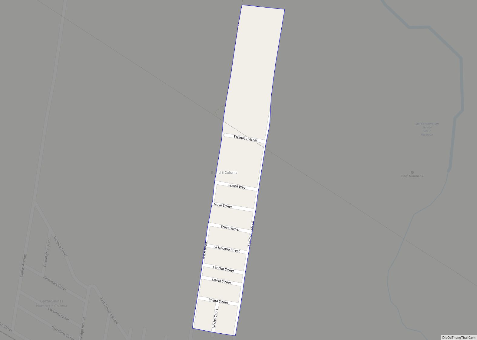
Roma is a city in Starr County, Texas, United States. Its population was 11,561 at the 2020 census. The city is located along the Rio Grande, across from Ciudad Miguel Alemán in Tamaulipas, Mexico. The city is also popularly known as Roma-Los Saenz, since the incorporated city also took the area known as Los Saenz. It serves as a port of entry from Mexico into the U.S. via the Roma–Ciudad Miguel Alemán International Bridge.
| Name: | Roma city |
|---|---|
| LSAD Code: | 25 |
| LSAD Description: | city (suffix) |
| State: | Texas |
| County: | Starr County |
| Incorporated: | 1936 |
| Elevation: | 213 ft (65 m) |
| Total Area: | 6.00 sq mi (15.55 km²) |
| Land Area: | 5.87 sq mi (15.19 km²) |
| Water Area: | 0.14 sq mi (0.36 km²) |
| Total Population: | 9,765 |
| Population Density: | 1,959.08/sq mi (756.44/km²) |
| ZIP code: | 78584 |
| Area code: | 956 |
| FIPS code: | 4863020 |
| GNISfeature ID: | 1388200 |
| Website: | www.cityofroma.net |
Online Interactive Map
Click on ![]() to view map in "full screen" mode.
to view map in "full screen" mode.
Roma location map. Where is Roma city?
History
Roma was established in 1821 in what had been the Spanish province of Nuevo Santander.
Prior to Texas’s independence from Mexico in 1836, the town was listed as under the jurisdiction of the town of Mier, Tamaulipas, and prior to Mexican independence existed under Spanish rule.
The site offered a convenient crossing on the Rio Grande, which became known as El Paso de la Mula (Pass of the Mule). The area was notable for a salt trade from the Roma area to Monterrey. The Roma area became the Mexican state of Tamaulipas with the Mexican Constitution of 1824. Texas claimed Roma with the establishment of the Republic of Texas in 1835, but Mexico continued to control this area. A Texan force sought to take Roma in the Mier Expedition of 1842, which resulted in the death, capture, or execution of many volunteers.
After the Mexican–American War established U.S. control over the northern bank of the Rio Grande in 1846, Texas governed Roma. During the American Civil War, the region became wealthy on the cotton trade, which was transshipped via Mexico to Europe. While steamboats were able to access Roma through the mid-19th century, lowering water levels as a result of development upstream ended river shipment by the 1880s. Bypassed by railroads, Roma stagnated and inadvertently preserved itself from development.
The Roma National Historic Landmark District contains over 30 structures built before 1900. Some of those buildings include:
- The Customs House (Casa de Aduanas, in Spanish) is where shippers and brokers came to pay customs fees for imported goods from Europe and Mexico on steamboats.
- The John Vale/Noah Cox House was built in 1853 by Swedish immigrant John Vale; its front elevation has finely carved sandstone with classical details on the cornice.
- the Leocadia Garcia House, built in the 1840s, served first as a dwelling for José Maria Garcia, husband of Leocadia, and then as a store and dance hall.
- Ramirez Hall is the two-story home of Lino Ramirez and three generations of the Ramirez family. Built by architect Heinrich Portscheller, who personally laid brick around windows and doors, it was used as fictitious “Rosita’s Cantina” in the 1950s film Viva Zapata.
- The Manuel Guerra Building is the crown jewel of restored buildings in Roma.
- The Néstor Saenz Store has direct access to the wharf area, just below Juarez Street, where steamboats anchored.
- The Edward Hord Office was built in 1853 for Edward R. Hord, who represented Mexican heirs of original landowners in the area, and during the Civil War, functioned as a military building,
- The Filomeno Gongora House, built from sandstone blocks, was erected around the 1830s, the oldest house in Roma.
- Our Lady of Refuge Church was built in 1853 by Father Pierre Yves Kéralum (1817–1872), a carpenter-turned-priest of the Oblates.
- The Parish Hall housed the convent of the Sisters of the Incarnate Word (1880s–1913) and the Sisters of Mercy (1813–1940).
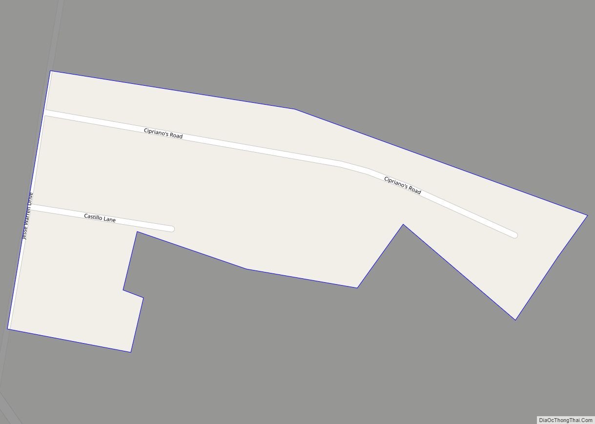
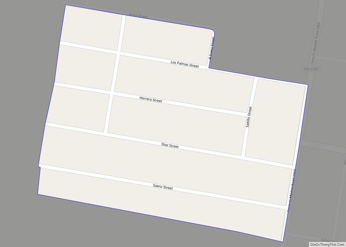
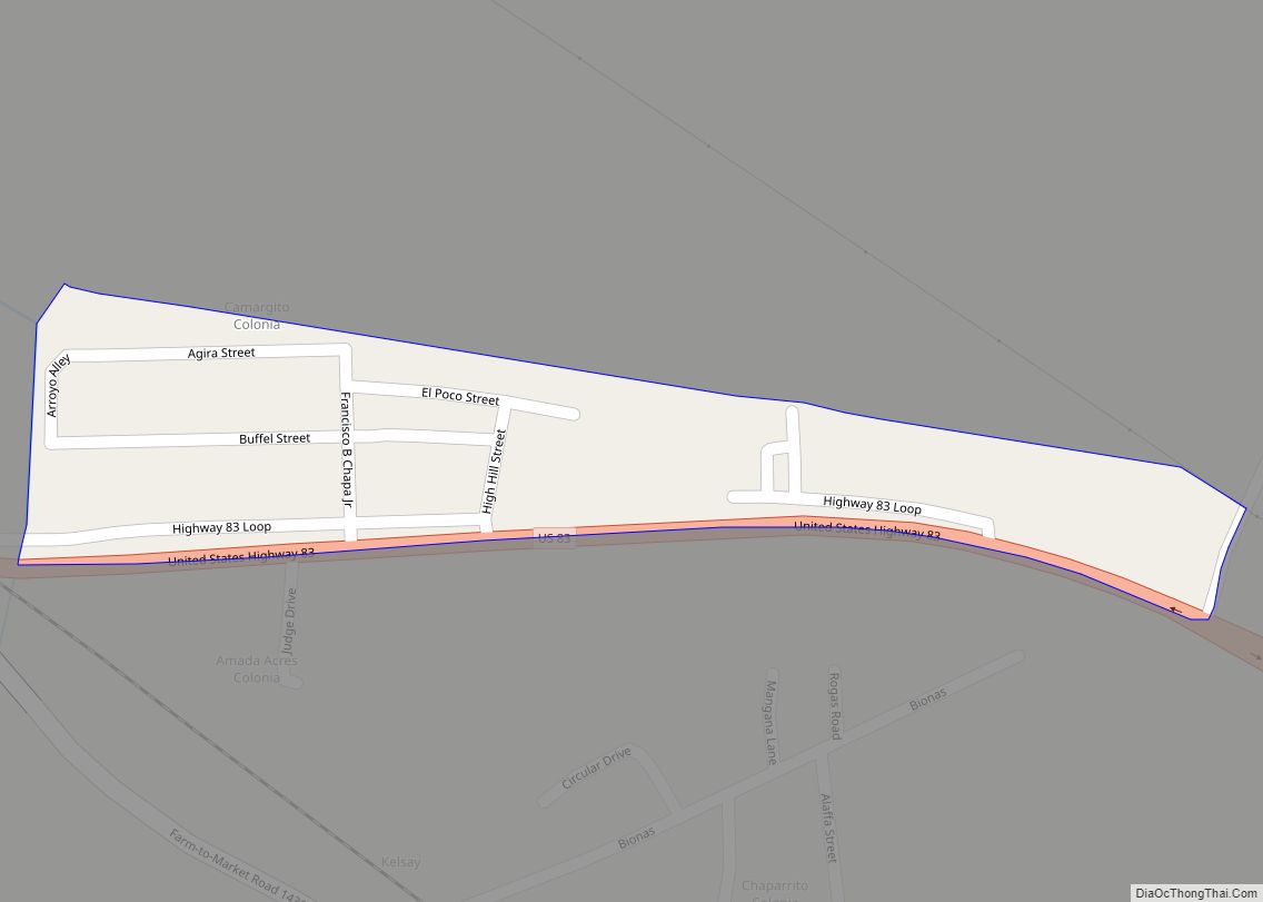
Roma Road Map
Roma city Satellite Map
Geography
Roma is located at 26°24′22″N 99°0′20″W / 26.40611°N 99.00556°W / 26.40611; -99.00556 (26.406101, −99.005644).
The city gained area prior to the 2010 census giving it a total area of 4.2 square miles (11.0 km), of which 0.1 square mile (0.3 km) (4.50%) is covered by water.
The City of Roma is located along the Rio Grande, which is the frontier between the United States and Mexico.
See also
Map of Texas State and its subdivision:- Anderson
- Andrews
- Angelina
- Aransas
- Archer
- Armstrong
- Atascosa
- Austin
- Bailey
- Bandera
- Bastrop
- Baylor
- Bee
- Bell
- Bexar
- Blanco
- Borden
- Bosque
- Bowie
- Brazoria
- Brazos
- Brewster
- Briscoe
- Brooks
- Brown
- Burleson
- Burnet
- Caldwell
- Calhoun
- Callahan
- Cameron
- Camp
- Carson
- Cass
- Castro
- Chambers
- Cherokee
- Childress
- Clay
- Cochran
- Coke
- Coleman
- Collin
- Collingsworth
- Colorado
- Comal
- Comanche
- Concho
- Cooke
- Coryell
- Cottle
- Crane
- Crockett
- Crosby
- Culberson
- Dallam
- Dallas
- Dawson
- Deaf Smith
- Delta
- Denton
- Dewitt
- Dickens
- Dimmit
- Donley
- Duval
- Eastland
- Ector
- Edwards
- El Paso
- Ellis
- Erath
- Falls
- Fannin
- Fayette
- Fisher
- Floyd
- Foard
- Fort Bend
- Franklin
- Freestone
- Frio
- Gaines
- Galveston
- Garza
- Gillespie
- Glasscock
- Goliad
- Gonzales
- Gray
- Grayson
- Gregg
- Grimes
- Guadalupe
- Hale
- Hall
- Hamilton
- Hansford
- Hardeman
- Hardin
- Harris
- Harrison
- Hartley
- Haskell
- Hays
- Hemphill
- Henderson
- Hidalgo
- Hill
- Hockley
- Hood
- Hopkins
- Houston
- Howard
- Hudspeth
- Hunt
- Hutchinson
- Irion
- Jack
- Jackson
- Jasper
- Jeff Davis
- Jefferson
- Jim Hogg
- Jim Wells
- Johnson
- Jones
- Karnes
- Kaufman
- Kendall
- Kenedy
- Kent
- Kerr
- Kimble
- King
- Kinney
- Kleberg
- Knox
- La Salle
- Lamar
- Lamb
- Lampasas
- Lavaca
- Lee
- Leon
- Liberty
- Limestone
- Lipscomb
- Live Oak
- Llano
- Loving
- Lubbock
- Lynn
- Madison
- Marion
- Martin
- Mason
- Matagorda
- Maverick
- McCulloch
- McLennan
- McMullen
- Medina
- Menard
- Midland
- Milam
- Mills
- Mitchell
- Montague
- Montgomery
- Moore
- Morris
- Motley
- Nacogdoches
- Navarro
- Newton
- Nolan
- Nueces
- Ochiltree
- Oldham
- Orange
- Palo Pinto
- Panola
- Parker
- Parmer
- Pecos
- Polk
- Potter
- Presidio
- Rains
- Randall
- Reagan
- Real
- Red River
- Reeves
- Refugio
- Roberts
- Robertson
- Rockwall
- Runnels
- Rusk
- Sabine
- San Augustine
- San Jacinto
- San Patricio
- San Saba
- Schleicher
- Scurry
- Shackelford
- Shelby
- Sherman
- Smith
- Somervell
- Starr
- Stephens
- Sterling
- Stonewall
- Sutton
- Swisher
- Tarrant
- Taylor
- Terrell
- Terry
- Throckmorton
- Titus
- Tom Green
- Travis
- Trinity
- Tyler
- Upshur
- Upton
- Uvalde
- Val Verde
- Van Zandt
- Victoria
- Walker
- Waller
- Ward
- Washington
- Webb
- Wharton
- Wheeler
- Wichita
- Wilbarger
- Willacy
- Williamson
- Wilson
- Winkler
- Wise
- Wood
- Yoakum
- Young
- Zapata
- Zavala
- Alabama
- Alaska
- Arizona
- Arkansas
- California
- Colorado
- Connecticut
- Delaware
- District of Columbia
- Florida
- Georgia
- Hawaii
- Idaho
- Illinois
- Indiana
- Iowa
- Kansas
- Kentucky
- Louisiana
- Maine
- Maryland
- Massachusetts
- Michigan
- Minnesota
- Mississippi
- Missouri
- Montana
- Nebraska
- Nevada
- New Hampshire
- New Jersey
- New Mexico
- New York
- North Carolina
- North Dakota
- Ohio
- Oklahoma
- Oregon
- Pennsylvania
- Rhode Island
- South Carolina
- South Dakota
- Tennessee
- Texas
- Utah
- Vermont
- Virginia
- Washington
- West Virginia
- Wisconsin
- Wyoming
