San Benito is a city in Cameron County, Texas, United States. Its population was 24,250 at the 2010 census. On April 3, 2007, San Benito celebrated the 100th anniversary of its naming.
The post office was named “Diaz” from April to May 1907. The San Benito Museum, Freddy Fender Museum, and Conjunto Music Museum opened in the same building on November 17, 2007.
On October 25, 1975, on the television show Hee Haw, Freddy Fender saluted his hometown of San Benito, population 15,177.
San Benito is part of the Brownsville–Harlingen–Raymondville and the Matamoros–Brownsville metropolitan areas.
| Name: | San Benito city |
|---|---|
| LSAD Code: | 25 |
| LSAD Description: | city (suffix) |
| State: | Texas |
| County: | Cameron County |
| Elevation: | 36 ft (11 m) |
| Total Area: | 16.13 sq mi (41.79 km²) |
| Land Area: | 15.79 sq mi (40.90 km²) |
| Water Area: | 0.34 sq mi (0.89 km²) |
| Total Population: | 24,250 |
| Population Density: | 1,535.05/sq mi (592.70/km²) |
| ZIP code: | 78586 |
| Area code: | 956 |
| FIPS code: | 4865036 |
| GNISfeature ID: | 1375956 |
| Website: | www.cityofsanbenito.com |
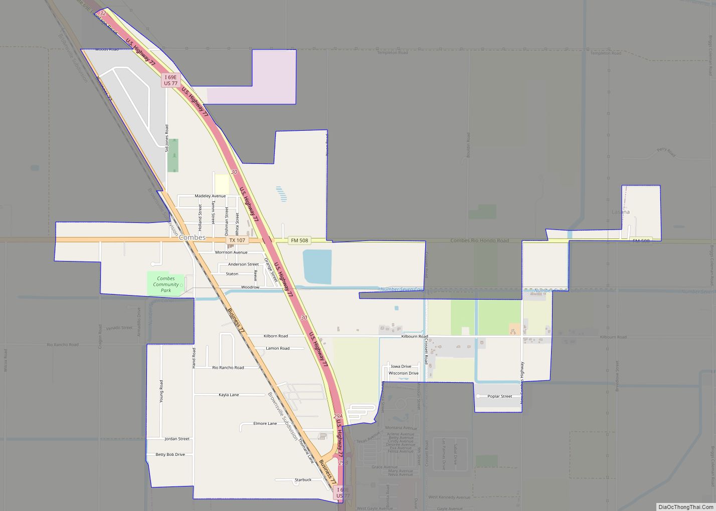
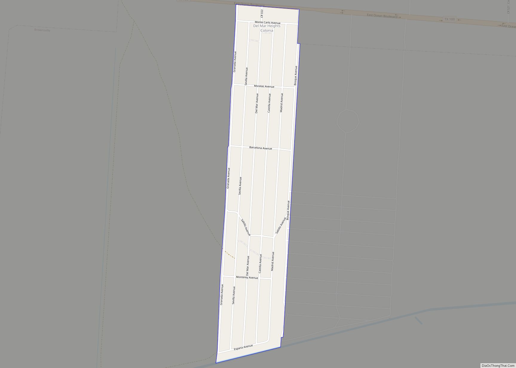
Online Interactive Map
Click on ![]() to view map in "full screen" mode.
to view map in "full screen" mode.
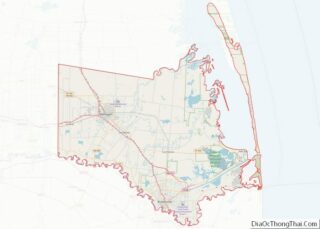
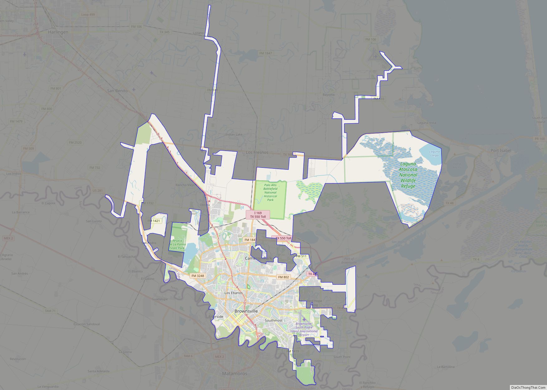
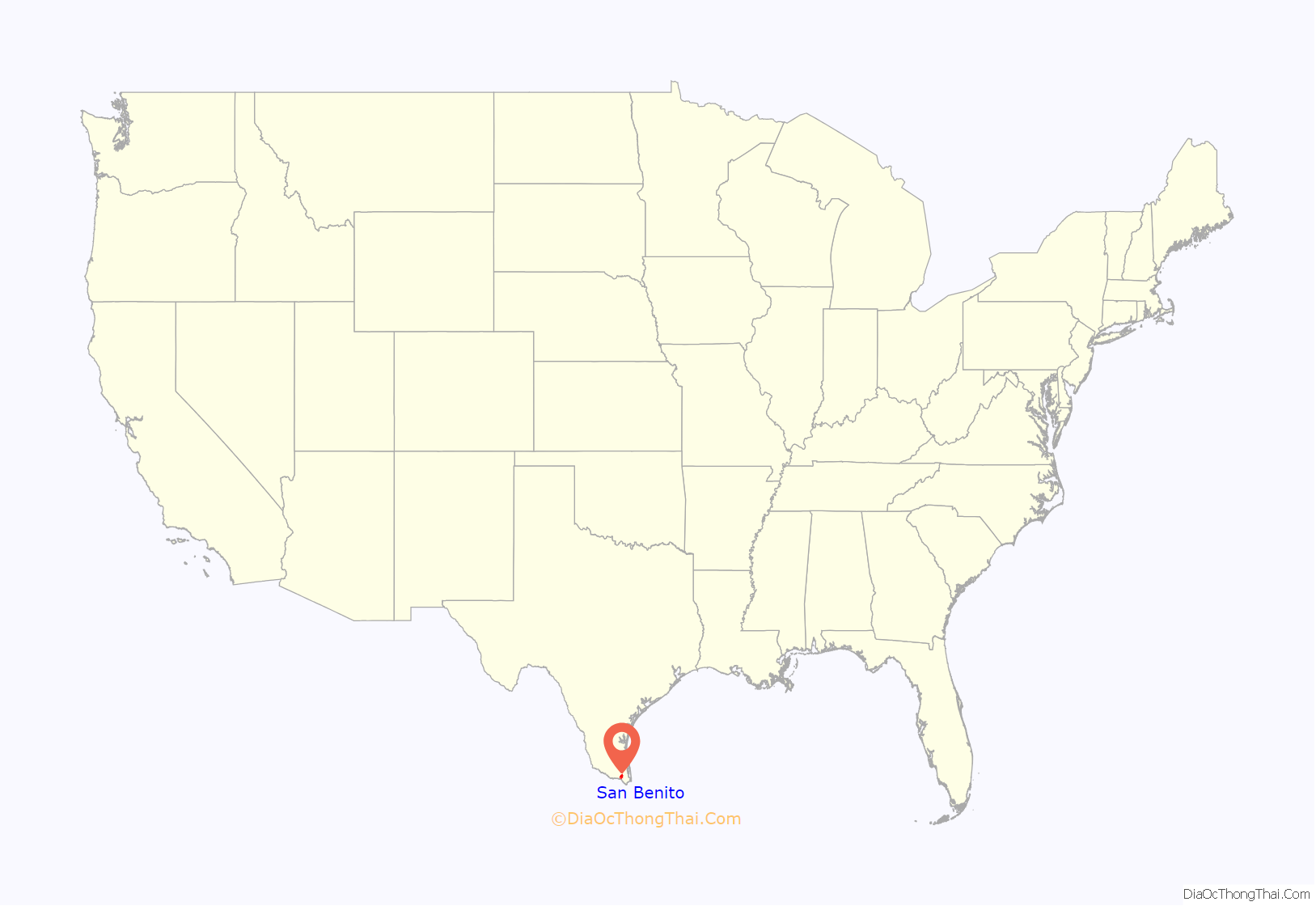
San Benito location map. Where is San Benito city?
History
San Benito is known as the “Resaca City”. The Resaca de los Fresnos, 400 ft (120 m) wide, flows through the city. As indicated by its Spanish name, the resaca is a dry river bed. It is now the main canal of a large irrigation system.
San Benito was at first named “Diaz” in honor of Porfirio Díaz, President of Mexico at that time. The people in the San Benito area were predominantly of Mexican ancestry. The Anglo settlers came after the completion of the first irrigation system in 1906. Prior to that time, this region was an arid, mesquite- and cactus-covered wilderness. Irrigation water touched off crop production, supported by the railroad.
On July 4, 1904, the first passenger train arrived at Diaz. To celebrate the coming of the new railroad, the community leaders renamed the railroad station “Bessie”, in honor of Bessie Yoakum, whose father, Benjamin Franklin Yoakum, was instrumental in the construction of the railroad.
Some time later, when the town site was surveyed, the name was changed to “San Benito” in honor of Benjamin Hicks. He was a pioneer rancher whose charitable attitude endeared him to the population. The name was suggested by Rafael Moreno, the popular 90-year-old camp cook of the surveying party. Moreno suggested the name “San Benito” for his beloved “Saint Benjamin” Hicks.
San Benito was a village with a moderate number of homes, businesses, churches, and public schools several years before the town was incorporated in 1911. The original map of the townsite was recorded 28 April 1907. The first school was established in 1907 with 48 pupils and Miss Kate Purvis as the teacher. The post office also opened in 1907. San Benito (Benny) Montalvo was born on September 20, 1907, to Ismael and Francisca Esparza Montalvo. On the night he was born, the city of San Benito was having a celebration in honor of its new name. Upon learning of Benny’s birth, Col. Sam Robertson suggested to Ismael and Francisca Montalvo to name their new son San Benito, which is how Benny got his name.
In 1927, the city adopted a commission form of government operating under a home rule charter.
In 1920, when the city was included in the U.S. Census count for the first time, San Benito had become a city of 4,070 people. By 1950, the census count expanded to 13,271. In 1960, the population had grown to 16,422.
The irrigation district was organized in 1906. As a result of the availability of irrigation water, San Benito and all of the Lower Rio Grande Valley cities came to serve a newly developing agricultural territory.
The original townsite, created in 1911, contained 1,280 acres (520 ha). Since then, a series of annexations has increased the incorporated area to 4,092.17 acres (1,656.04 ha).
The mild winter climate in this southmost section of Texas has played a dominant role in the growth of San Benito and the other cities of the Lower Rio Grande Valley. Crops grow and flowers bloom year-round. The city has become a hotspot for winter tourists and retired people, providing a substantial percentage of the buying power of this community.
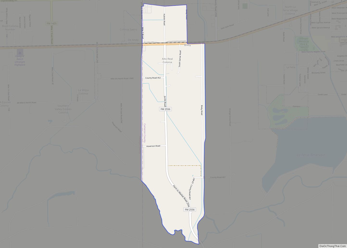
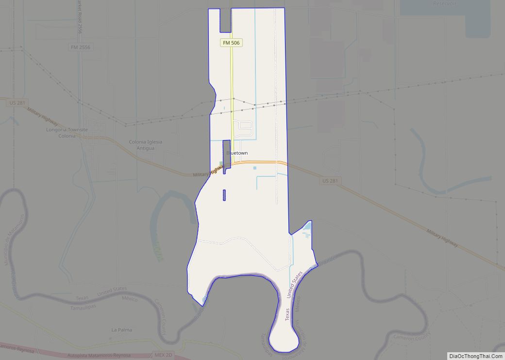
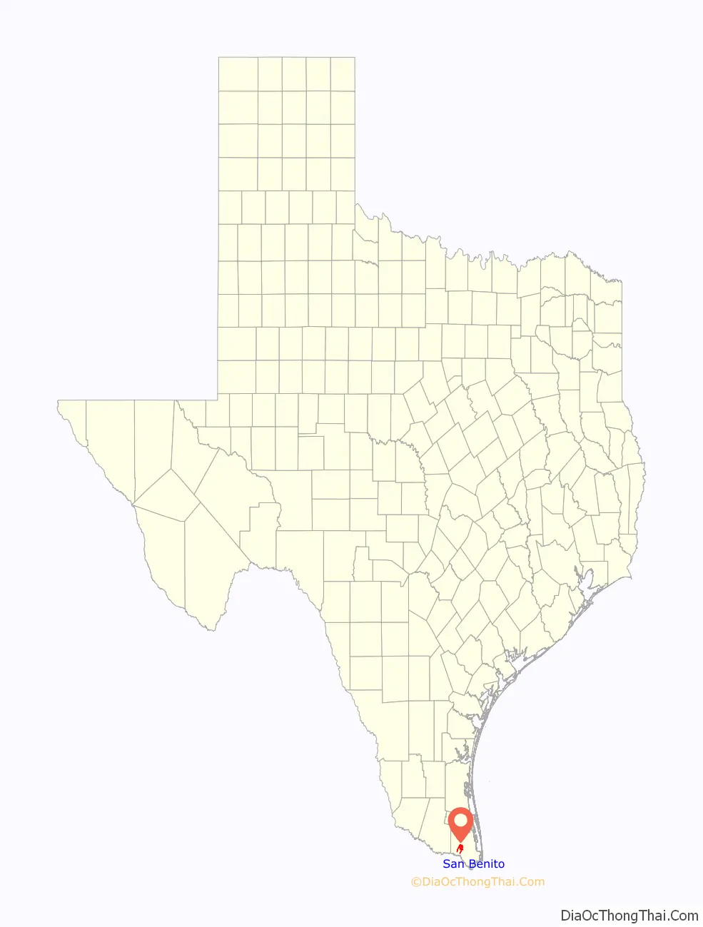
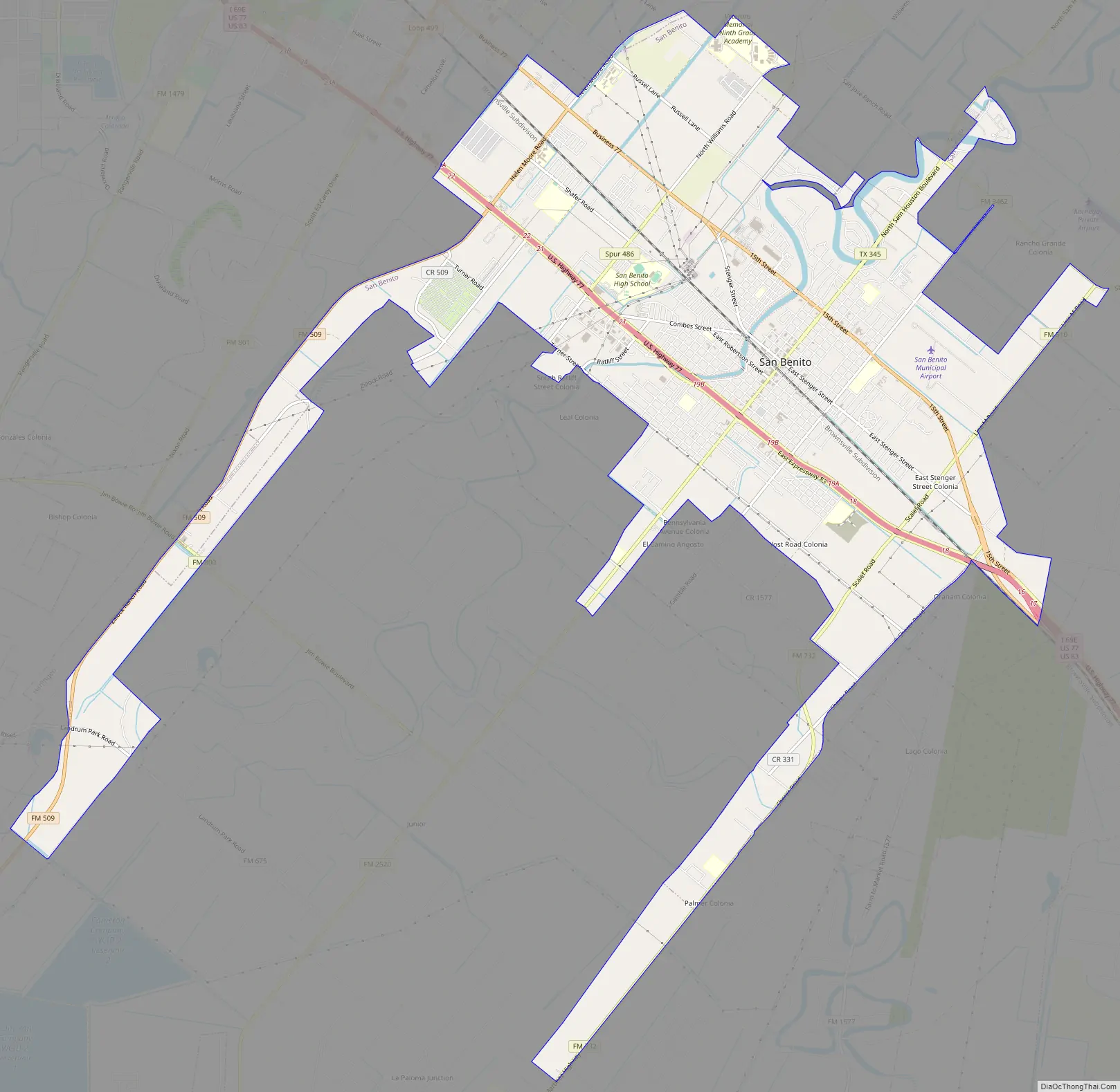
San Benito Road Map
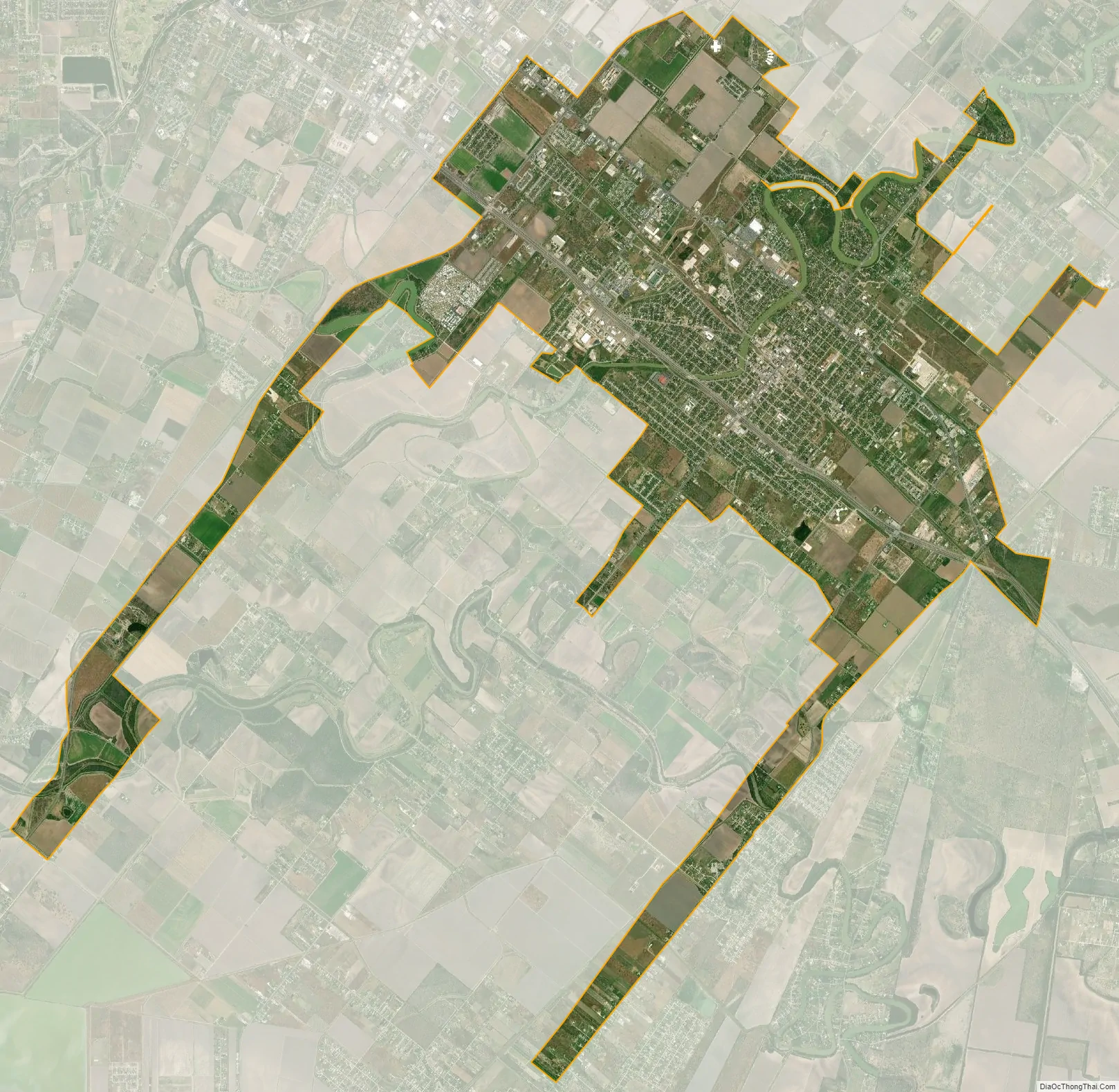
San Benito city Satellite Map
Geography
San Benito is located west of the center of Cameron County at 26°8′12″N 97°38′9″W / 26.13667°N 97.63583°W / 26.13667; -97.63583 (26.136603, –97.635878). Interstate 69E passes through the city, leading northwest 6 miles (10 km) to Harlingen and southeast 19 miles (31 km) to Brownsville. According to the United States Census Bureau, San Benito has a total area of 16.1 square miles (41.8 km), of which 0.3 square miles (0.9 km), or 2.12%, is covered by water.
San Benito is also known as “The Resaca City”, due to its resaca (a former tributary of the Rio Grande, which has been cut off for irrigation purposes).
Climate
The climate in this area is characterized by hot, dry summers and generally warm winters. According to the Köppen climate classification, San Benito has a semiarid, borderline tropical savannah climate, Cfa on climate maps.
See also
Map of Texas State and its subdivision:- Anderson
- Andrews
- Angelina
- Aransas
- Archer
- Armstrong
- Atascosa
- Austin
- Bailey
- Bandera
- Bastrop
- Baylor
- Bee
- Bell
- Bexar
- Blanco
- Borden
- Bosque
- Bowie
- Brazoria
- Brazos
- Brewster
- Briscoe
- Brooks
- Brown
- Burleson
- Burnet
- Caldwell
- Calhoun
- Callahan
- Cameron
- Camp
- Carson
- Cass
- Castro
- Chambers
- Cherokee
- Childress
- Clay
- Cochran
- Coke
- Coleman
- Collin
- Collingsworth
- Colorado
- Comal
- Comanche
- Concho
- Cooke
- Coryell
- Cottle
- Crane
- Crockett
- Crosby
- Culberson
- Dallam
- Dallas
- Dawson
- Deaf Smith
- Delta
- Denton
- Dewitt
- Dickens
- Dimmit
- Donley
- Duval
- Eastland
- Ector
- Edwards
- El Paso
- Ellis
- Erath
- Falls
- Fannin
- Fayette
- Fisher
- Floyd
- Foard
- Fort Bend
- Franklin
- Freestone
- Frio
- Gaines
- Galveston
- Garza
- Gillespie
- Glasscock
- Goliad
- Gonzales
- Gray
- Grayson
- Gregg
- Grimes
- Guadalupe
- Hale
- Hall
- Hamilton
- Hansford
- Hardeman
- Hardin
- Harris
- Harrison
- Hartley
- Haskell
- Hays
- Hemphill
- Henderson
- Hidalgo
- Hill
- Hockley
- Hood
- Hopkins
- Houston
- Howard
- Hudspeth
- Hunt
- Hutchinson
- Irion
- Jack
- Jackson
- Jasper
- Jeff Davis
- Jefferson
- Jim Hogg
- Jim Wells
- Johnson
- Jones
- Karnes
- Kaufman
- Kendall
- Kenedy
- Kent
- Kerr
- Kimble
- King
- Kinney
- Kleberg
- Knox
- La Salle
- Lamar
- Lamb
- Lampasas
- Lavaca
- Lee
- Leon
- Liberty
- Limestone
- Lipscomb
- Live Oak
- Llano
- Loving
- Lubbock
- Lynn
- Madison
- Marion
- Martin
- Mason
- Matagorda
- Maverick
- McCulloch
- McLennan
- McMullen
- Medina
- Menard
- Midland
- Milam
- Mills
- Mitchell
- Montague
- Montgomery
- Moore
- Morris
- Motley
- Nacogdoches
- Navarro
- Newton
- Nolan
- Nueces
- Ochiltree
- Oldham
- Orange
- Palo Pinto
- Panola
- Parker
- Parmer
- Pecos
- Polk
- Potter
- Presidio
- Rains
- Randall
- Reagan
- Real
- Red River
- Reeves
- Refugio
- Roberts
- Robertson
- Rockwall
- Runnels
- Rusk
- Sabine
- San Augustine
- San Jacinto
- San Patricio
- San Saba
- Schleicher
- Scurry
- Shackelford
- Shelby
- Sherman
- Smith
- Somervell
- Starr
- Stephens
- Sterling
- Stonewall
- Sutton
- Swisher
- Tarrant
- Taylor
- Terrell
- Terry
- Throckmorton
- Titus
- Tom Green
- Travis
- Trinity
- Tyler
- Upshur
- Upton
- Uvalde
- Val Verde
- Van Zandt
- Victoria
- Walker
- Waller
- Ward
- Washington
- Webb
- Wharton
- Wheeler
- Wichita
- Wilbarger
- Willacy
- Williamson
- Wilson
- Winkler
- Wise
- Wood
- Yoakum
- Young
- Zapata
- Zavala
- Alabama
- Alaska
- Arizona
- Arkansas
- California
- Colorado
- Connecticut
- Delaware
- District of Columbia
- Florida
- Georgia
- Hawaii
- Idaho
- Illinois
- Indiana
- Iowa
- Kansas
- Kentucky
- Louisiana
- Maine
- Maryland
- Massachusetts
- Michigan
- Minnesota
- Mississippi
- Missouri
- Montana
- Nebraska
- Nevada
- New Hampshire
- New Jersey
- New Mexico
- New York
- North Carolina
- North Dakota
- Ohio
- Oklahoma
- Oregon
- Pennsylvania
- Rhode Island
- South Carolina
- South Dakota
- Tennessee
- Texas
- Utah
- Vermont
- Virginia
- Washington
- West Virginia
- Wisconsin
- Wyoming