Sandia is an unincorporated community and census-designated place (CDP) in Jim Wells County, Texas, United States. The population was 379 at the 2010 census, down from 431 at the 2000 census.
| Name: | Sandia CDP |
|---|---|
| LSAD Code: | 57 |
| LSAD Description: | CDP (suffix) |
| State: | Texas |
| County: | Jim Wells County |
| Elevation: | 125 ft (38 m) |
| Total Area: | 1.0 sq mi (2.5 km²) |
| Land Area: | 1.0 sq mi (2.5 km²) |
| Water Area: | 0.0 sq mi (0.0 km²) |
| Total Population: | 379 |
| Population Density: | 393/sq mi (151.6/km²) |
| ZIP code: | 78383 |
| Area code: | 361 |
| FIPS code: | 4865168 |
| GNISfeature ID: | 1346565 |
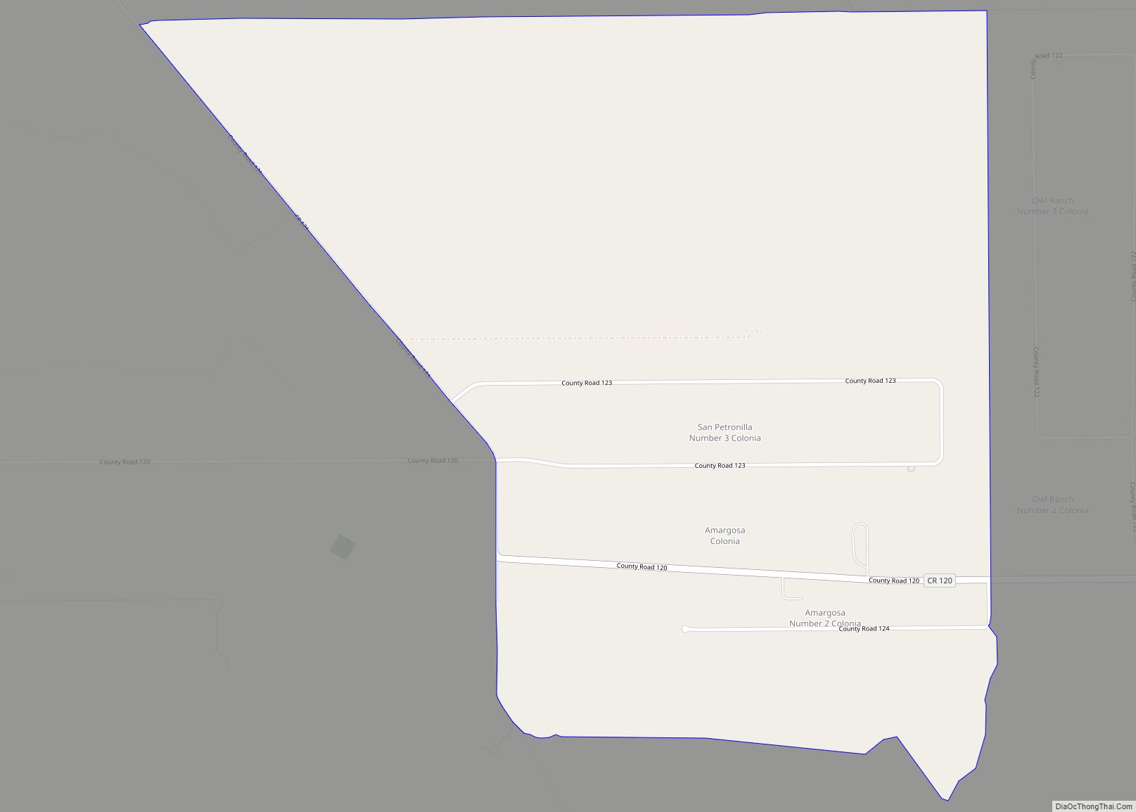
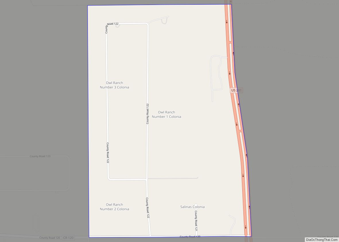
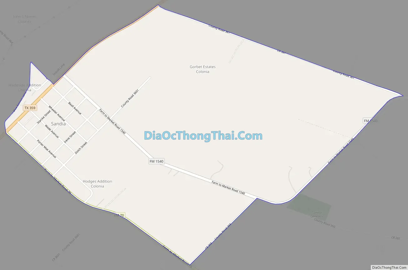
Online Interactive Map
Click on ![]() to view map in "full screen" mode.
to view map in "full screen" mode.
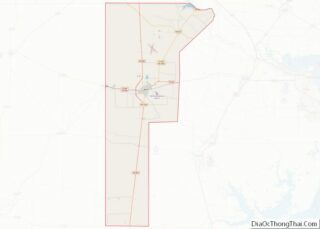
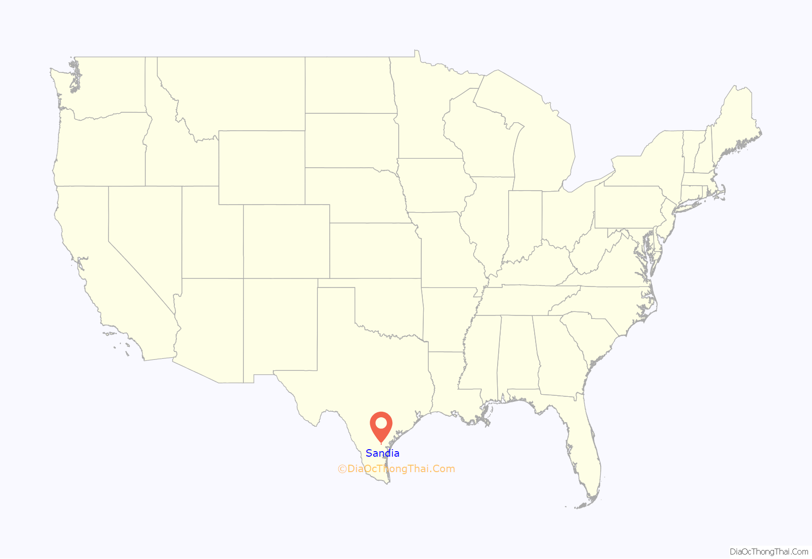
Sandia location map. Where is Sandia CDP?
History
Sandia was in the Casa Blanca land grant, issued to Juan José de la Garza Montemayor by Spain on April 2, 1807. The Montemayor family occupied the land until 1852. In 1896 John L. Wade purchased it and established the Casa Blanca Ranch (Wade Ranch). Upon his death the ranch was divided among his heirs, one of whom sold his share to Joseph B. Dibrell. Dibrell gave the task of dividing and selling the land to Fennell Dibrell and Max Starcke, who founded Sandia in 1907. At the time the streets were platted there was only one building in the community. Dibrell and Starcke chose the name Sandia, Spanish for “watermelon”, because of the large number of watermelons grown in the area. The lots in Sandia were all sold within eight months, during which time a lumberyard, a hardware store, two grocery stores, a meat market, a boardinghouse, and a barbershop opened. By 1914 Sandia had 150 inhabitants, a bank, two general stores, and a cotton gin. The population steadily increased and in 1925 was estimated at 200. It had increased to 500 by 1927. In 1936 Sandia had three businesses, two churches, multiple farm units, and several dwellings and was a stop on the Texas and New Orleans Railroad. In 1940 it had a population of 300 and fifteen businesses. Sandia had a peak population of 310 during the 1960s and early 1970s. Residents numbered 215 in 1974 and 1990.
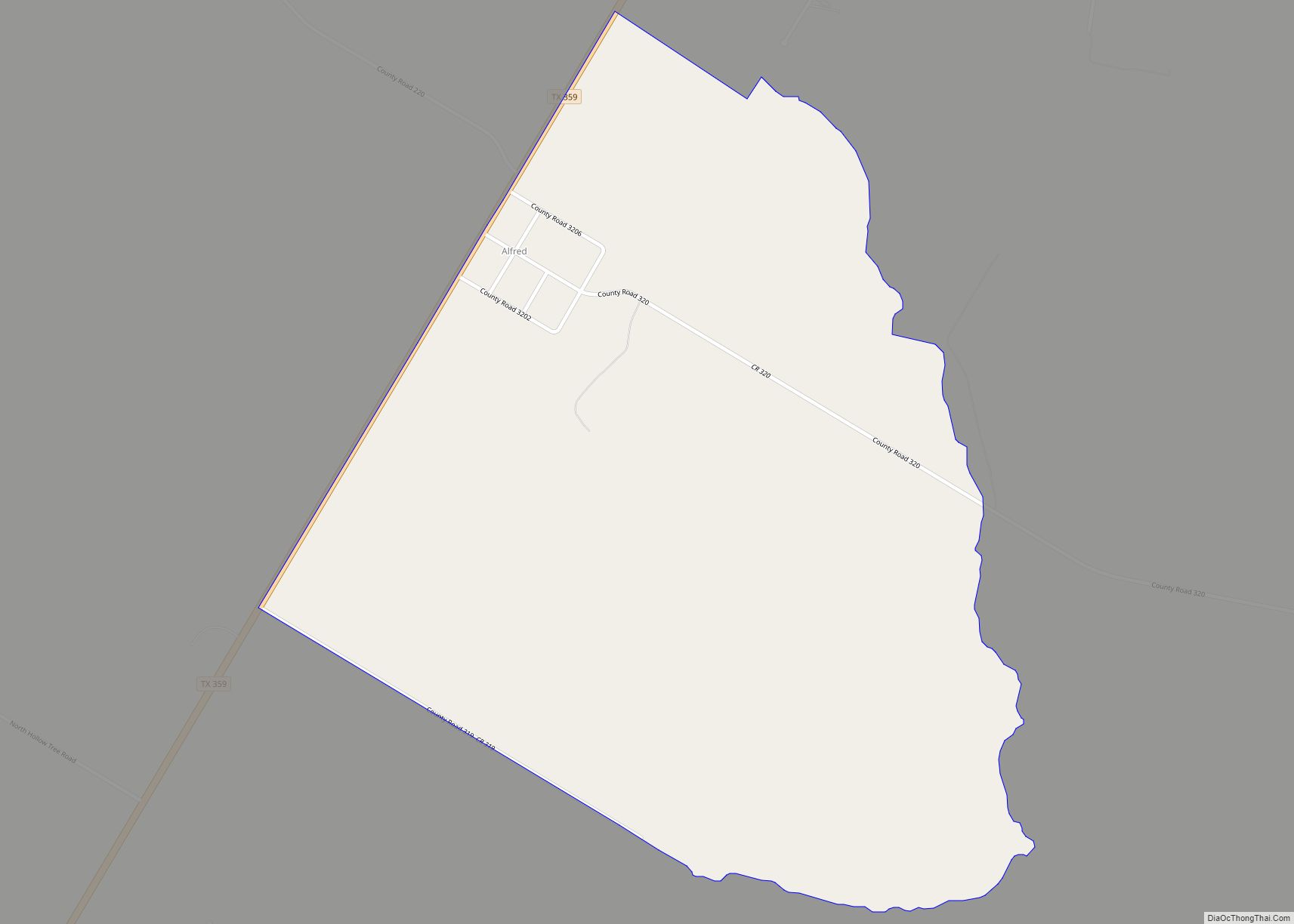
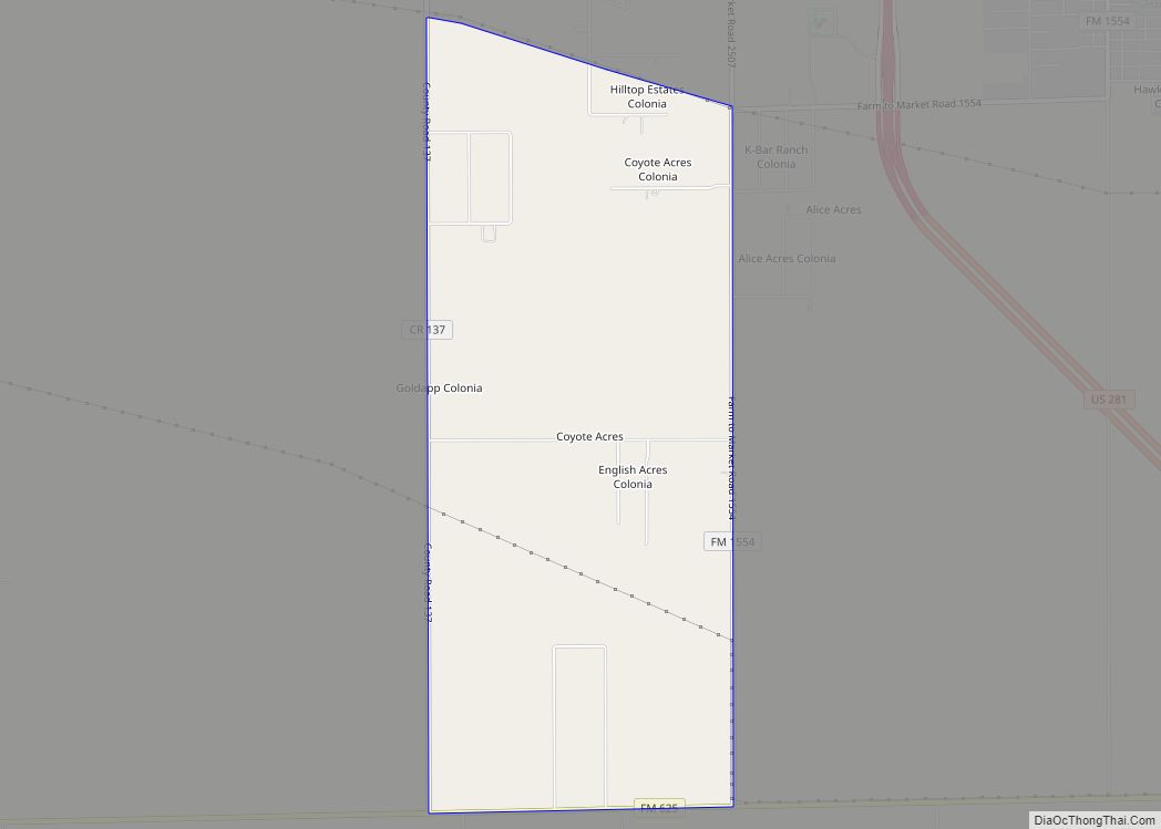
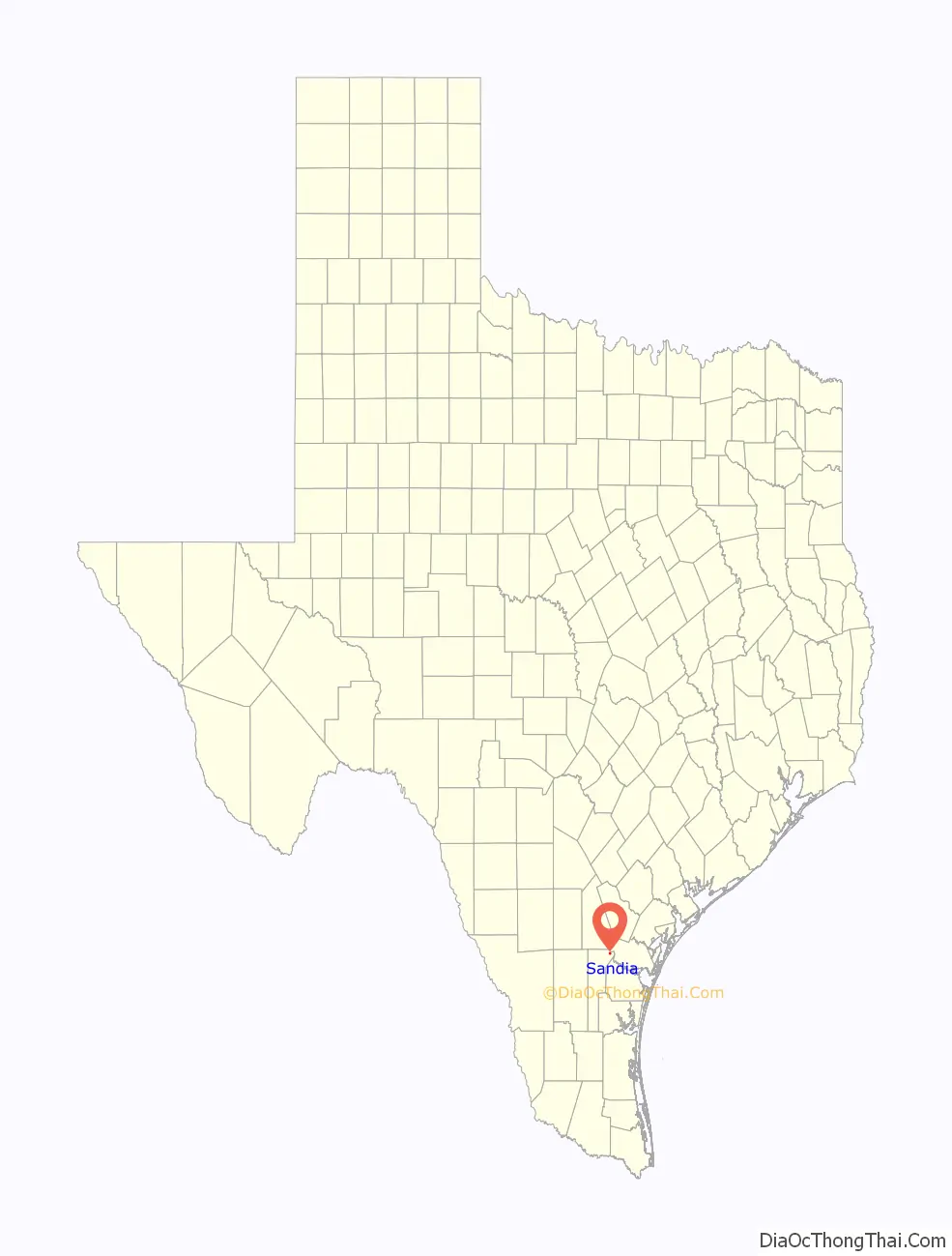
Sandia Road Map
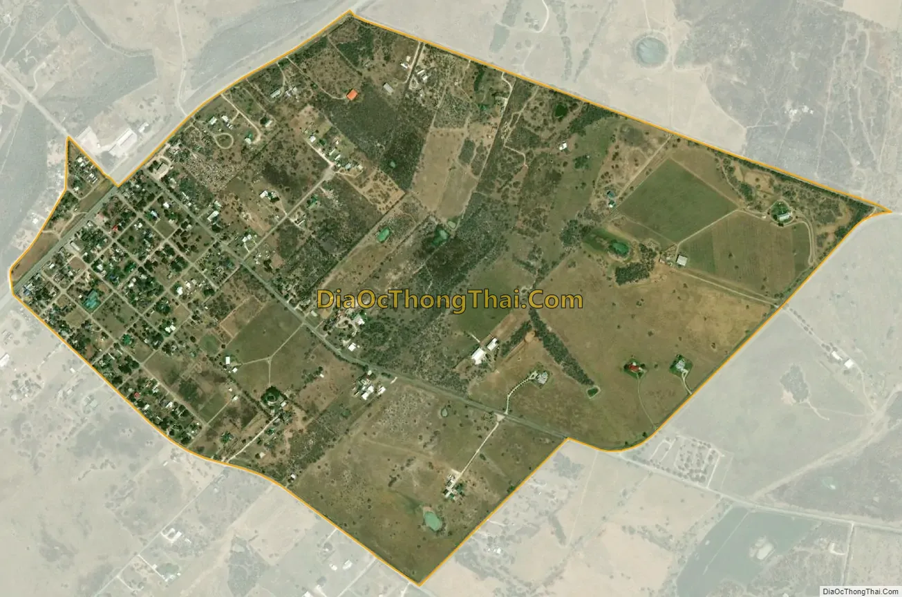
Sandia city Satellite Map
Geography
Sandia is located in northeastern Jim Wells County at 28°1′10″N 97°52′43″W / 28.01944°N 97.87861°W / 28.01944; -97.87861 (28.019507, -97.878652). Texas State Highway 359 forms the northwest side of the community, leading northeast 6 miles (10 km) to Mathis and southwest 24 miles (39 km) to Alice, the Jim Wells county seat.
According to the United States Census Bureau, the Sandia CDP has a total area of 1.0 square mile (2.5 km), of which 0.3 acres (1,089 m), or 0.04%, are water. The town is on high ground 1 mile (1.6 km) south of Lake Corpus Christi, an impoundment on the Nueces River.
See also
Map of Texas State and its subdivision:- Anderson
- Andrews
- Angelina
- Aransas
- Archer
- Armstrong
- Atascosa
- Austin
- Bailey
- Bandera
- Bastrop
- Baylor
- Bee
- Bell
- Bexar
- Blanco
- Borden
- Bosque
- Bowie
- Brazoria
- Brazos
- Brewster
- Briscoe
- Brooks
- Brown
- Burleson
- Burnet
- Caldwell
- Calhoun
- Callahan
- Cameron
- Camp
- Carson
- Cass
- Castro
- Chambers
- Cherokee
- Childress
- Clay
- Cochran
- Coke
- Coleman
- Collin
- Collingsworth
- Colorado
- Comal
- Comanche
- Concho
- Cooke
- Coryell
- Cottle
- Crane
- Crockett
- Crosby
- Culberson
- Dallam
- Dallas
- Dawson
- Deaf Smith
- Delta
- Denton
- Dewitt
- Dickens
- Dimmit
- Donley
- Duval
- Eastland
- Ector
- Edwards
- El Paso
- Ellis
- Erath
- Falls
- Fannin
- Fayette
- Fisher
- Floyd
- Foard
- Fort Bend
- Franklin
- Freestone
- Frio
- Gaines
- Galveston
- Garza
- Gillespie
- Glasscock
- Goliad
- Gonzales
- Gray
- Grayson
- Gregg
- Grimes
- Guadalupe
- Hale
- Hall
- Hamilton
- Hansford
- Hardeman
- Hardin
- Harris
- Harrison
- Hartley
- Haskell
- Hays
- Hemphill
- Henderson
- Hidalgo
- Hill
- Hockley
- Hood
- Hopkins
- Houston
- Howard
- Hudspeth
- Hunt
- Hutchinson
- Irion
- Jack
- Jackson
- Jasper
- Jeff Davis
- Jefferson
- Jim Hogg
- Jim Wells
- Johnson
- Jones
- Karnes
- Kaufman
- Kendall
- Kenedy
- Kent
- Kerr
- Kimble
- King
- Kinney
- Kleberg
- Knox
- La Salle
- Lamar
- Lamb
- Lampasas
- Lavaca
- Lee
- Leon
- Liberty
- Limestone
- Lipscomb
- Live Oak
- Llano
- Loving
- Lubbock
- Lynn
- Madison
- Marion
- Martin
- Mason
- Matagorda
- Maverick
- McCulloch
- McLennan
- McMullen
- Medina
- Menard
- Midland
- Milam
- Mills
- Mitchell
- Montague
- Montgomery
- Moore
- Morris
- Motley
- Nacogdoches
- Navarro
- Newton
- Nolan
- Nueces
- Ochiltree
- Oldham
- Orange
- Palo Pinto
- Panola
- Parker
- Parmer
- Pecos
- Polk
- Potter
- Presidio
- Rains
- Randall
- Reagan
- Real
- Red River
- Reeves
- Refugio
- Roberts
- Robertson
- Rockwall
- Runnels
- Rusk
- Sabine
- San Augustine
- San Jacinto
- San Patricio
- San Saba
- Schleicher
- Scurry
- Shackelford
- Shelby
- Sherman
- Smith
- Somervell
- Starr
- Stephens
- Sterling
- Stonewall
- Sutton
- Swisher
- Tarrant
- Taylor
- Terrell
- Terry
- Throckmorton
- Titus
- Tom Green
- Travis
- Trinity
- Tyler
- Upshur
- Upton
- Uvalde
- Val Verde
- Van Zandt
- Victoria
- Walker
- Waller
- Ward
- Washington
- Webb
- Wharton
- Wheeler
- Wichita
- Wilbarger
- Willacy
- Williamson
- Wilson
- Winkler
- Wise
- Wood
- Yoakum
- Young
- Zapata
- Zavala
- Alabama
- Alaska
- Arizona
- Arkansas
- California
- Colorado
- Connecticut
- Delaware
- District of Columbia
- Florida
- Georgia
- Hawaii
- Idaho
- Illinois
- Indiana
- Iowa
- Kansas
- Kentucky
- Louisiana
- Maine
- Maryland
- Massachusetts
- Michigan
- Minnesota
- Mississippi
- Missouri
- Montana
- Nebraska
- Nevada
- New Hampshire
- New Jersey
- New Mexico
- New York
- North Carolina
- North Dakota
- Ohio
- Oklahoma
- Oregon
- Pennsylvania
- Rhode Island
- South Carolina
- South Dakota
- Tennessee
- Texas
- Utah
- Vermont
- Virginia
- Washington
- West Virginia
- Wisconsin
- Wyoming