Spring is a census-designated place (CDP) within the extraterritorial jurisdiction of Houston in Harris County, Texas, United States, part of the Houston–The Woodlands–Sugar Land metropolitan area. The population was 62,559 at the 2020 census. While the name “Spring” is popularly applied to a large area of northern Harris County and a smaller area of southern Montgomery County, the original town of Spring, now known as Old Town Spring, is located at the intersection of Spring-Cypress and Hardy roads and encompasses a relatively small area of perhaps 1 square kilometer (0.39 sq mi).
| Name: | Spring CDP |
|---|---|
| LSAD Code: | 57 |
| LSAD Description: | CDP (suffix) |
| State: | Texas |
| County: | Harris County |
| Elevation: | 121 ft (37 m) |
| Total Area: | 23.6 sq mi (61.0 km²) |
| Land Area: | 23.2 sq mi (60.1 km²) |
| Water Area: | 0.3 sq mi (0.9 km²) |
| Total Population: | 62,559 |
| Population Density: | 2,700/sq mi (1,000/km²) |
| ZIP code: | 77373 |
| Area code: | 281, 346, 713, and 832 |
| FIPS code: | 4869596 |
| GNISfeature ID: | 1347681 |
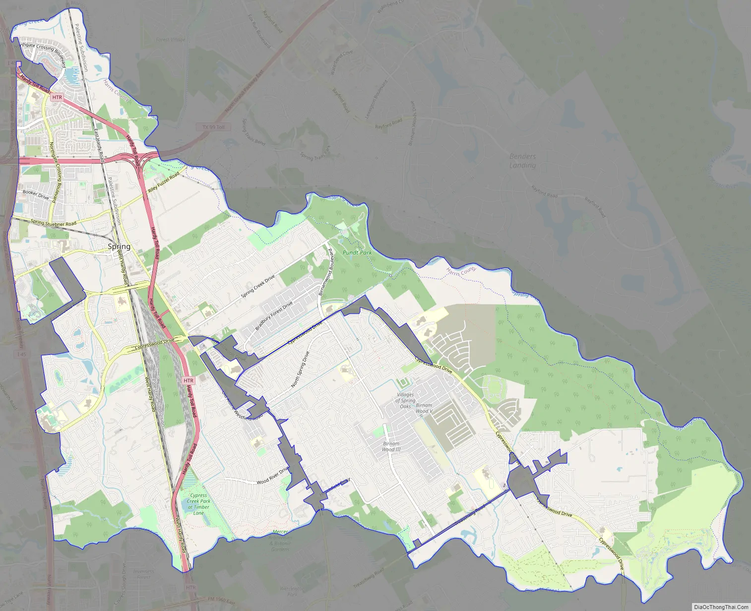
Online Interactive Map
Click on ![]() to view map in "full screen" mode.
to view map in "full screen" mode.
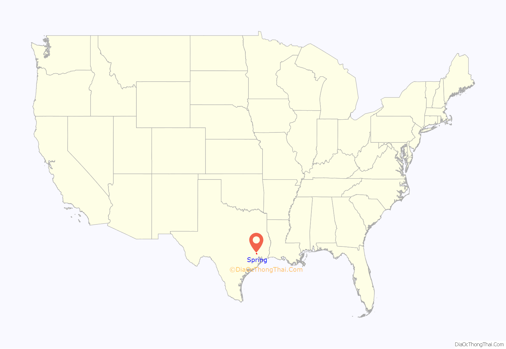
Spring location map. Where is Spring CDP?
History
The large geographic area now known as Spring was originally inhabited by the Orcoquiza Native Americans. In 1836, the Texas General Council of the Provisional Government placed what is now the town of Spring in the Harrisburg municipality. In 1838, William Pierpont placed a trading post on Spring Creek. In 1840, the town of Spring had 153 residents. By the mid-1840s, many German immigrants, including Gus Bayer and Carl Wunsche, moved to the area and began farming. People from Louisiana and other parts of the post-Civil War Southern U.S. settled in Spring. The main cash crops in Spring were sugar cane and cotton; area residents also grew vegetables.
The International and Great Northern Railroad, built through Spring, opened in 1871, which caused Spring to expand. In 1873, Spring received a post office. By 1884, Spring had 150 residents, two steam saw and grist mills, two cotton gins, three churches, and several schools. In 1901–1903, the International-Great Northern Railroad opened, connecting Spring to Fort Worth. Spring, now with a roundhouse, became a switchyard with 200 rail workers and fourteen track yards. The population increased to 1,200 by 1910. The Spring State Bank opened in 1912. In 1923, the roundhouse relocated to Houston, causing Spring to enter a decline; by 1931, Spring had 300 people. The bank was robbed several times in the 1930s; it was stated that Bonnie and Clyde robbed the bank once. The bank consolidated with Tomball Bank in 1935.
By 1947, Spring had 700 residents. In the 1970s, Houston’s suburbs began to expand to the north, and more subdivisions and residential areas opened in the Spring area. Some older houses in the town of Spring received restorations and housed shops. The Old Town Spring Association opened in 1980 to promote the Old Town Spring shopping area, which consists of the restored houses. In 1984 and 1989, the Spring area had 15,000 residents. By 1989, Old Town Spring became a tourist area. In 1990, the Spring area had 33,111 residents.
From 1969 to 1992, the Goodyear airship America was based in Spring from its large hangar visible just off Interstate 45. Takeoffs and landings were a major attraction and motorists continually pulled off to the interstate’s shoulders to watch. In 1992 the America was moved to Akron, Ohio, and the massive hangar was eventually torn down. As of 2020, the hangar’s concrete foundation is still visible at the intersection of Holzwarth Road and Meadow Edge Lane west of Lowe’s Home Improvement Center.
The 1992 Log Cabin Republicans convention was held in Spring.
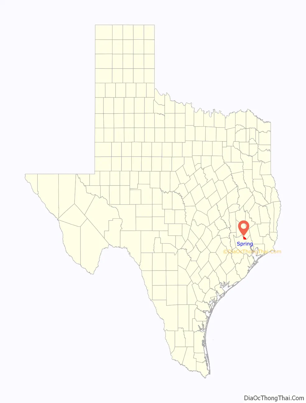
Spring Road Map
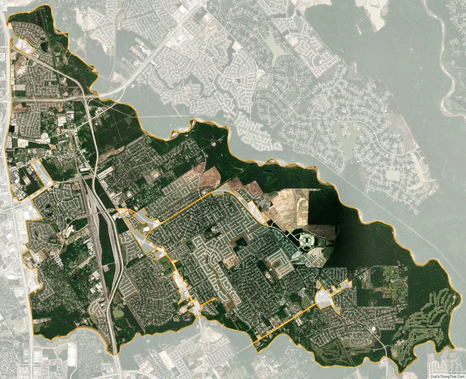
Spring city Satellite Map
Geography
Spring is located at 30°3′15″N 95°23′13″W / 30.05417°N 95.38694°W / 30.05417; -95.38694 (30.054127, -95.386991).
According to the United States Census Bureau, the CDP has a total area of 23.6 square miles (61.0 km), of which 23.2 square miles (60.1 km) is land and 0.35 square miles (0.9 km), or 1.51%, is water.
Climate
The climate in this area is characterized by hot, stifling, humid summers and generally mild to cool winters. According to the Köppen Climate Classification system, Spring has a humid subtropical climate, abbreviated “Cfa” on climate maps.
See also
Map of Texas State and its subdivision:- Anderson
- Andrews
- Angelina
- Aransas
- Archer
- Armstrong
- Atascosa
- Austin
- Bailey
- Bandera
- Bastrop
- Baylor
- Bee
- Bell
- Bexar
- Blanco
- Borden
- Bosque
- Bowie
- Brazoria
- Brazos
- Brewster
- Briscoe
- Brooks
- Brown
- Burleson
- Burnet
- Caldwell
- Calhoun
- Callahan
- Cameron
- Camp
- Carson
- Cass
- Castro
- Chambers
- Cherokee
- Childress
- Clay
- Cochran
- Coke
- Coleman
- Collin
- Collingsworth
- Colorado
- Comal
- Comanche
- Concho
- Cooke
- Coryell
- Cottle
- Crane
- Crockett
- Crosby
- Culberson
- Dallam
- Dallas
- Dawson
- Deaf Smith
- Delta
- Denton
- Dewitt
- Dickens
- Dimmit
- Donley
- Duval
- Eastland
- Ector
- Edwards
- El Paso
- Ellis
- Erath
- Falls
- Fannin
- Fayette
- Fisher
- Floyd
- Foard
- Fort Bend
- Franklin
- Freestone
- Frio
- Gaines
- Galveston
- Garza
- Gillespie
- Glasscock
- Goliad
- Gonzales
- Gray
- Grayson
- Gregg
- Grimes
- Guadalupe
- Hale
- Hall
- Hamilton
- Hansford
- Hardeman
- Hardin
- Harris
- Harrison
- Hartley
- Haskell
- Hays
- Hemphill
- Henderson
- Hidalgo
- Hill
- Hockley
- Hood
- Hopkins
- Houston
- Howard
- Hudspeth
- Hunt
- Hutchinson
- Irion
- Jack
- Jackson
- Jasper
- Jeff Davis
- Jefferson
- Jim Hogg
- Jim Wells
- Johnson
- Jones
- Karnes
- Kaufman
- Kendall
- Kenedy
- Kent
- Kerr
- Kimble
- King
- Kinney
- Kleberg
- Knox
- La Salle
- Lamar
- Lamb
- Lampasas
- Lavaca
- Lee
- Leon
- Liberty
- Limestone
- Lipscomb
- Live Oak
- Llano
- Loving
- Lubbock
- Lynn
- Madison
- Marion
- Martin
- Mason
- Matagorda
- Maverick
- McCulloch
- McLennan
- McMullen
- Medina
- Menard
- Midland
- Milam
- Mills
- Mitchell
- Montague
- Montgomery
- Moore
- Morris
- Motley
- Nacogdoches
- Navarro
- Newton
- Nolan
- Nueces
- Ochiltree
- Oldham
- Orange
- Palo Pinto
- Panola
- Parker
- Parmer
- Pecos
- Polk
- Potter
- Presidio
- Rains
- Randall
- Reagan
- Real
- Red River
- Reeves
- Refugio
- Roberts
- Robertson
- Rockwall
- Runnels
- Rusk
- Sabine
- San Augustine
- San Jacinto
- San Patricio
- San Saba
- Schleicher
- Scurry
- Shackelford
- Shelby
- Sherman
- Smith
- Somervell
- Starr
- Stephens
- Sterling
- Stonewall
- Sutton
- Swisher
- Tarrant
- Taylor
- Terrell
- Terry
- Throckmorton
- Titus
- Tom Green
- Travis
- Trinity
- Tyler
- Upshur
- Upton
- Uvalde
- Val Verde
- Van Zandt
- Victoria
- Walker
- Waller
- Ward
- Washington
- Webb
- Wharton
- Wheeler
- Wichita
- Wilbarger
- Willacy
- Williamson
- Wilson
- Winkler
- Wise
- Wood
- Yoakum
- Young
- Zapata
- Zavala
- Alabama
- Alaska
- Arizona
- Arkansas
- California
- Colorado
- Connecticut
- Delaware
- District of Columbia
- Florida
- Georgia
- Hawaii
- Idaho
- Illinois
- Indiana
- Iowa
- Kansas
- Kentucky
- Louisiana
- Maine
- Maryland
- Massachusetts
- Michigan
- Minnesota
- Mississippi
- Missouri
- Montana
- Nebraska
- Nevada
- New Hampshire
- New Jersey
- New Mexico
- New York
- North Carolina
- North Dakota
- Ohio
- Oklahoma
- Oregon
- Pennsylvania
- Rhode Island
- South Carolina
- South Dakota
- Tennessee
- Texas
- Utah
- Vermont
- Virginia
- Washington
- West Virginia
- Wisconsin
- Wyoming


