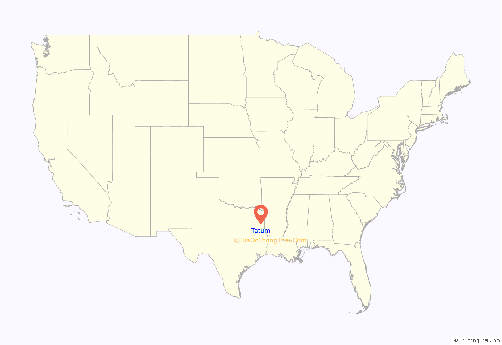
Tatum is a city in Panola and Rusk counties in the U.S. state of Texas. The population was 1,342 at the 2020 census.
| Name: | Tatum city |
|---|---|
| LSAD Code: | 25 |
| LSAD Description: | city (suffix) |
| State: | Texas |
| County: | Panola County, Rusk County |
| Elevation: | 338 ft (103 m) |
| Total Area: | 3.78 sq mi (9.80 km²) |
| Land Area: | 3.78 sq mi (9.80 km²) |
| Water Area: | 0.00 sq mi (0.00 km²) |
| Total Population: | 1,342 |
| Population Density: | 365.94/sq mi (141.28/km²) |
| ZIP code: | 75691 |
| Area code: | 903 |
| FIPS code: | 4871924 |
| GNISfeature ID: | 1369625 |
| Website: | tatumtexas.com |
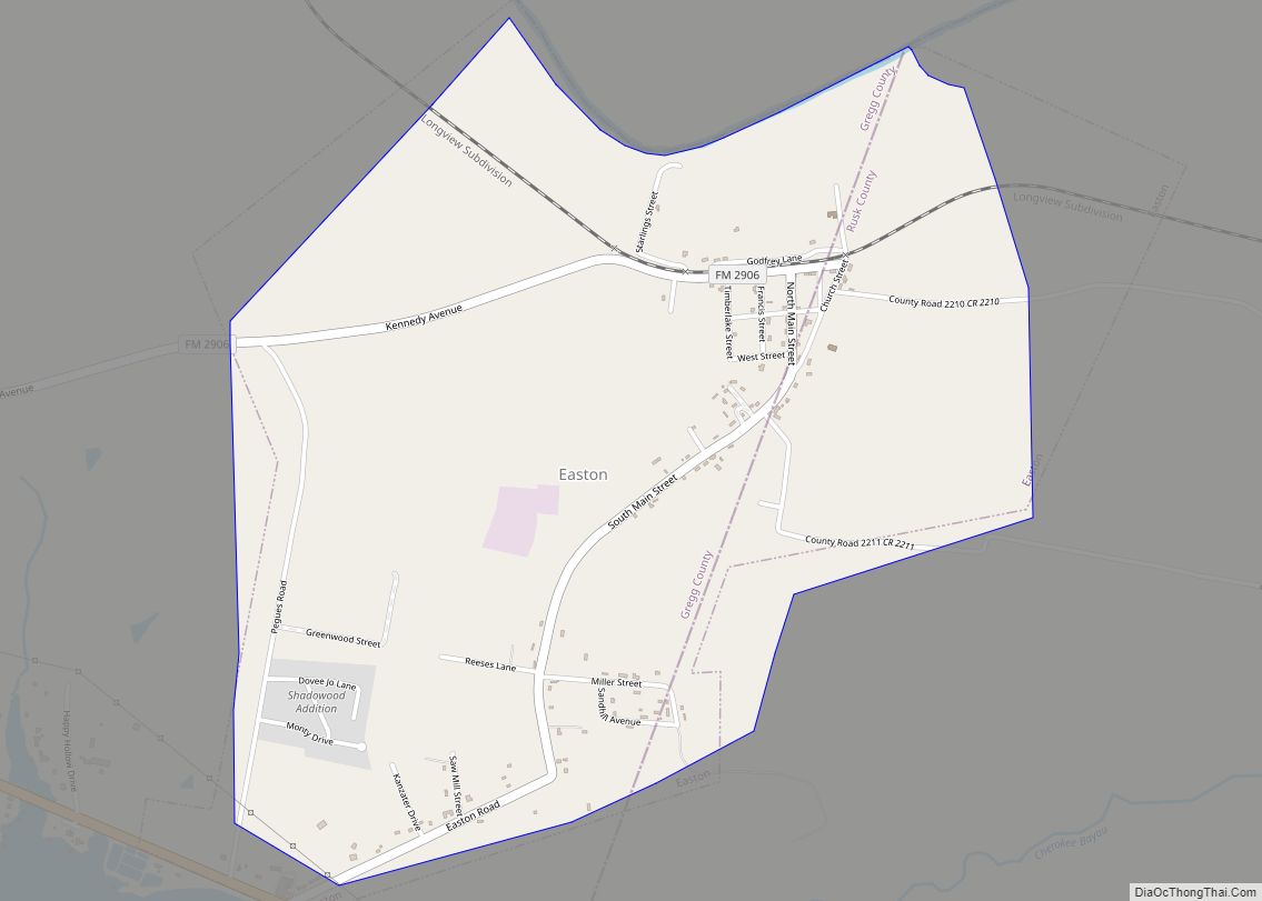
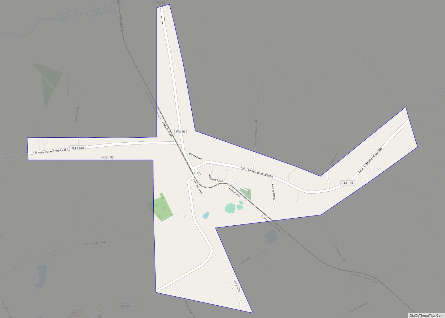
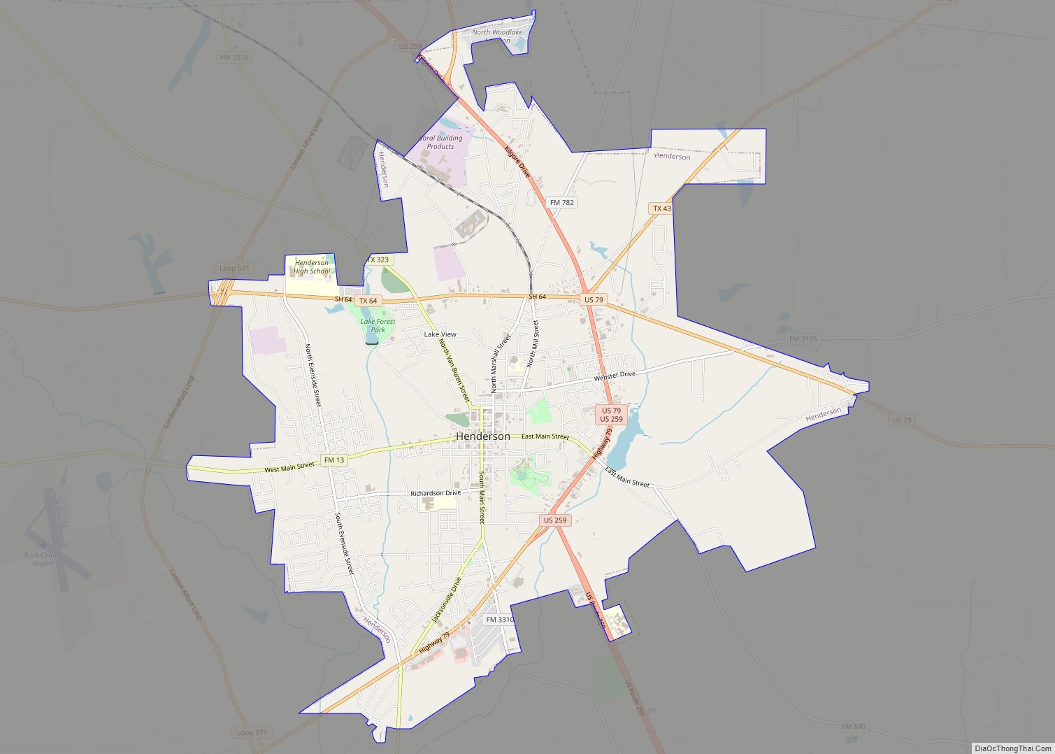
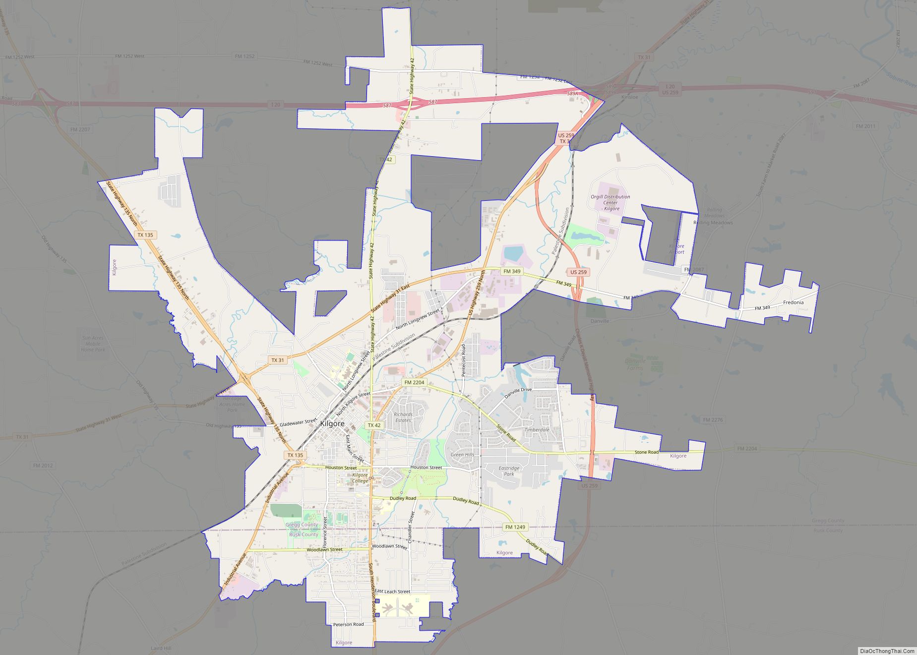
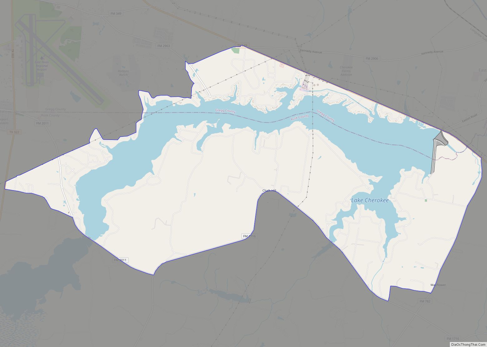
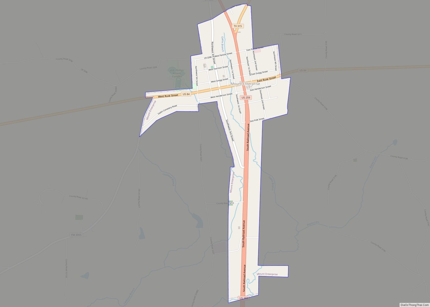
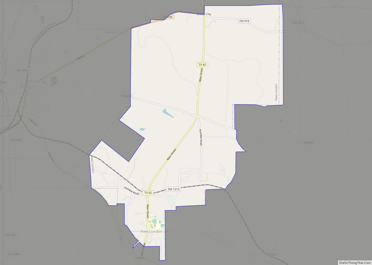
Online Interactive Map
Click on ![]() to view map in "full screen" mode.
to view map in "full screen" mode.
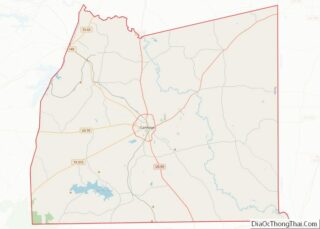
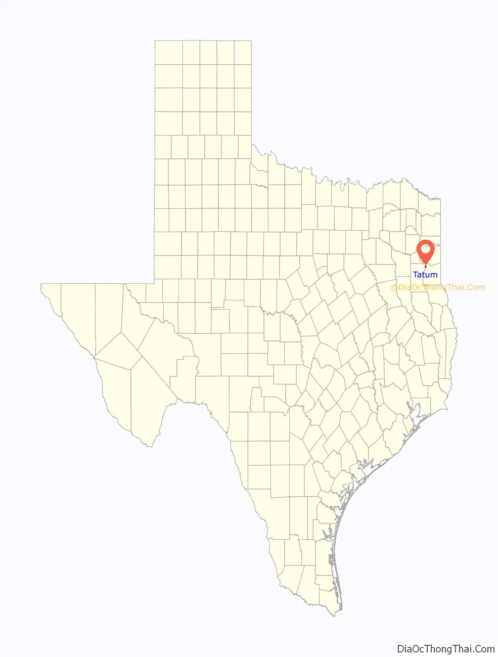
Tatum location map. Where is Tatum city?
History
Tatum was settled in the 1840s by Albert Tatum and his second wife, Mary C. (Rippetoe) Tatum. In 1848, they built a large plantation there. In 1885, the Santa Fe Railway came through, and the town was divided into individual lots. One of their sons, Paul “Uncle Fox” Tatum, who studied architecture in New York, laid out the streets. He became the postmaster in 1886. The city of Tatum lies along Trammel’s Trace, an old trade route. A marker at the south end of town commemorates it. In the city park stands the restored Santa Fe depot.
Albert Tatum was born on August 12, 1810, in Hancock County, Georgia, the son of William Tatum and Alice B. (Dent) Tatum. Albert Tatum first married Rebecca Elizabeth Ann Menefee about 1837 in Chambers County, Alabama. They were the parents of one son, William C. Tatum, who was born on June 25, 1838, in Chambers County, Alabama.
After the death of his first wife on December 31, 1840, in Chambers County, Alabama, Albert Tatum married Mary C. Rippetoe on September 22, 1841, in Tallapoosa County, Alabama. At one time, Albert Tatum owned over 4,000 acres (16 km) of land around the current town of Tatum.
After the town’s first bank was established in 1903, things got bad early in the 20th century as a tornado destroyed part of the town in 1904. The next year, a fire destroyed almost all of the north side of town.
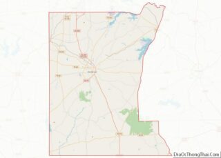
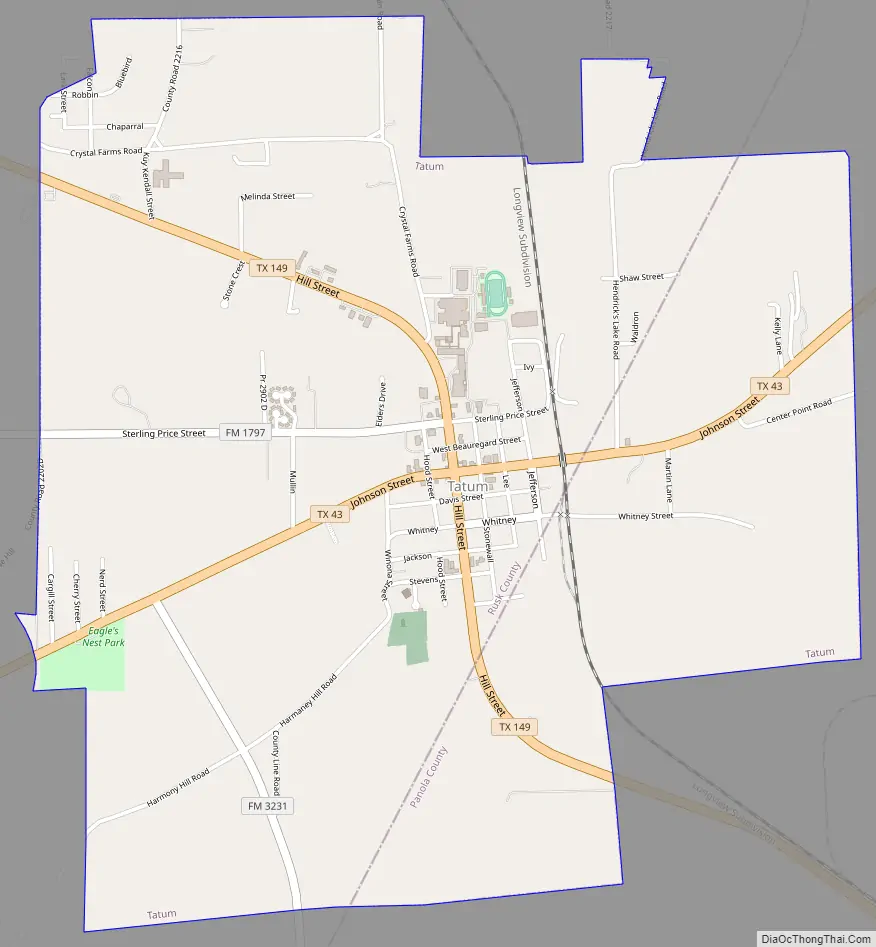
Tatum Road Map
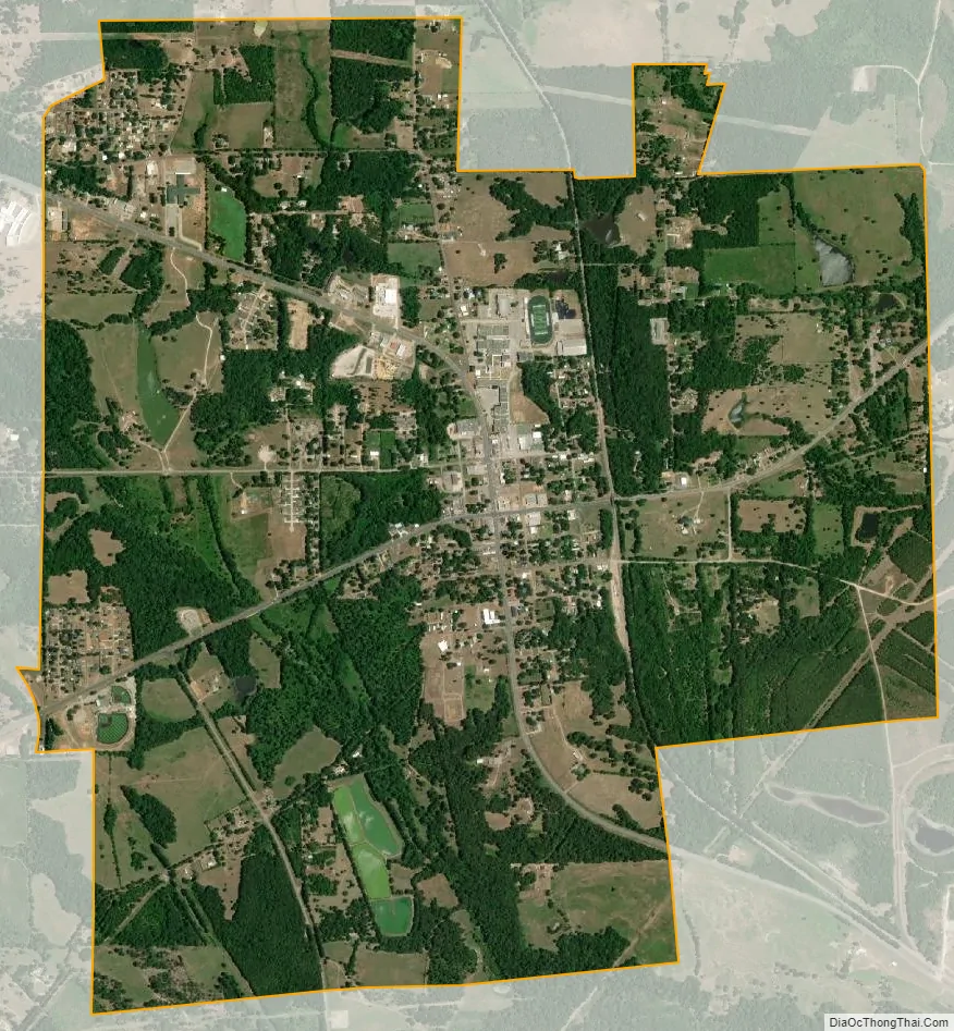
Tatum city Satellite Map
Geography
Tatum is located at 32°18′53″N 94°31′8″W / 32.31472°N 94.51889°W / 32.31472; -94.51889 (32.314853, –94.518875).
According to the United States Census Bureau, the city has a total area of 3.8 square miles (9.8 km), all land.
Major highways
- State Highway 43
- State Highway 149
- FM 782
Climate
The climate in this area is characterized by hot, humid summers and generally mild to cool winters. According to the Köppen climate classification, Tatum has a humid subtropical climate, Cfa on climate maps.
See also
Map of Texas State and its subdivision:- Anderson
- Andrews
- Angelina
- Aransas
- Archer
- Armstrong
- Atascosa
- Austin
- Bailey
- Bandera
- Bastrop
- Baylor
- Bee
- Bell
- Bexar
- Blanco
- Borden
- Bosque
- Bowie
- Brazoria
- Brazos
- Brewster
- Briscoe
- Brooks
- Brown
- Burleson
- Burnet
- Caldwell
- Calhoun
- Callahan
- Cameron
- Camp
- Carson
- Cass
- Castro
- Chambers
- Cherokee
- Childress
- Clay
- Cochran
- Coke
- Coleman
- Collin
- Collingsworth
- Colorado
- Comal
- Comanche
- Concho
- Cooke
- Coryell
- Cottle
- Crane
- Crockett
- Crosby
- Culberson
- Dallam
- Dallas
- Dawson
- Deaf Smith
- Delta
- Denton
- Dewitt
- Dickens
- Dimmit
- Donley
- Duval
- Eastland
- Ector
- Edwards
- El Paso
- Ellis
- Erath
- Falls
- Fannin
- Fayette
- Fisher
- Floyd
- Foard
- Fort Bend
- Franklin
- Freestone
- Frio
- Gaines
- Galveston
- Garza
- Gillespie
- Glasscock
- Goliad
- Gonzales
- Gray
- Grayson
- Gregg
- Grimes
- Guadalupe
- Hale
- Hall
- Hamilton
- Hansford
- Hardeman
- Hardin
- Harris
- Harrison
- Hartley
- Haskell
- Hays
- Hemphill
- Henderson
- Hidalgo
- Hill
- Hockley
- Hood
- Hopkins
- Houston
- Howard
- Hudspeth
- Hunt
- Hutchinson
- Irion
- Jack
- Jackson
- Jasper
- Jeff Davis
- Jefferson
- Jim Hogg
- Jim Wells
- Johnson
- Jones
- Karnes
- Kaufman
- Kendall
- Kenedy
- Kent
- Kerr
- Kimble
- King
- Kinney
- Kleberg
- Knox
- La Salle
- Lamar
- Lamb
- Lampasas
- Lavaca
- Lee
- Leon
- Liberty
- Limestone
- Lipscomb
- Live Oak
- Llano
- Loving
- Lubbock
- Lynn
- Madison
- Marion
- Martin
- Mason
- Matagorda
- Maverick
- McCulloch
- McLennan
- McMullen
- Medina
- Menard
- Midland
- Milam
- Mills
- Mitchell
- Montague
- Montgomery
- Moore
- Morris
- Motley
- Nacogdoches
- Navarro
- Newton
- Nolan
- Nueces
- Ochiltree
- Oldham
- Orange
- Palo Pinto
- Panola
- Parker
- Parmer
- Pecos
- Polk
- Potter
- Presidio
- Rains
- Randall
- Reagan
- Real
- Red River
- Reeves
- Refugio
- Roberts
- Robertson
- Rockwall
- Runnels
- Rusk
- Sabine
- San Augustine
- San Jacinto
- San Patricio
- San Saba
- Schleicher
- Scurry
- Shackelford
- Shelby
- Sherman
- Smith
- Somervell
- Starr
- Stephens
- Sterling
- Stonewall
- Sutton
- Swisher
- Tarrant
- Taylor
- Terrell
- Terry
- Throckmorton
- Titus
- Tom Green
- Travis
- Trinity
- Tyler
- Upshur
- Upton
- Uvalde
- Val Verde
- Van Zandt
- Victoria
- Walker
- Waller
- Ward
- Washington
- Webb
- Wharton
- Wheeler
- Wichita
- Wilbarger
- Willacy
- Williamson
- Wilson
- Winkler
- Wise
- Wood
- Yoakum
- Young
- Zapata
- Zavala
- Alabama
- Alaska
- Arizona
- Arkansas
- California
- Colorado
- Connecticut
- Delaware
- District of Columbia
- Florida
- Georgia
- Hawaii
- Idaho
- Illinois
- Indiana
- Iowa
- Kansas
- Kentucky
- Louisiana
- Maine
- Maryland
- Massachusetts
- Michigan
- Minnesota
- Mississippi
- Missouri
- Montana
- Nebraska
- Nevada
- New Hampshire
- New Jersey
- New Mexico
- New York
- North Carolina
- North Dakota
- Ohio
- Oklahoma
- Oregon
- Pennsylvania
- Rhode Island
- South Carolina
- South Dakota
- Tennessee
- Texas
- Utah
- Vermont
- Virginia
- Washington
- West Virginia
- Wisconsin
- Wyoming