Three Rivers is a city in Live Oak County, Texas, United States. The population was 1,848 at the 2010 census.
| Name: | Three Rivers city |
|---|---|
| LSAD Code: | 25 |
| LSAD Description: | city (suffix) |
| State: | Texas |
| County: | Live Oak County |
| Elevation: | 144 ft (44 m) |
| Total Area: | 1.47 sq mi (3.80 km²) |
| Land Area: | 1.46 sq mi (3.79 km²) |
| Water Area: | 0.00 sq mi (0.01 km²) |
| Total Population: | 1,848 |
| Population Density: | 1,332.19/sq mi (514.27/km²) |
| ZIP code: | 78060, 78071 |
| Area code: | 361 |
| FIPS code: | 4872872 |
| GNISfeature ID: | 1348525 |
| Website: | www.gothreerivers.com |
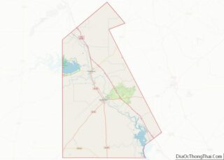
Online Interactive Map
Click on ![]() to view map in "full screen" mode.
to view map in "full screen" mode.
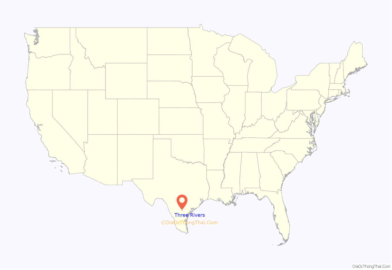
Three Rivers location map. Where is Three Rivers city?
History
Mrs. Annie T. Hamilton of Cuero owned a tract of land in the Brush Country where Three Rivers now sits. At the urging of Mrs. Hamilton, Charles R. Tips came to the Brush Country. In 1913, Mrs. Hamilton paid the San Antonio, Uvalde and Gulf Railroad to build a depot on her land. Tips organized a townsite company and sold land for the township. On July 4, 1913 the town began with a grand opening and first sale of land. From its formation, it was designed as a segregated township, with the “Mexican” section located between the river and the railroad tracks, west of the business section. This can still be seen today in the differences of street names, even though forced segregation ended many decades past.
The city is named for its proximity to three rivers, the Atascosa River, the Frio River, and the Nueces River (the Atascosa joins the Frio north of the city, while the Frio joins the Nueces south of the city). Originally named Hamiltonburg, the city name was changed when mail meant for the city was accidentally delivered to Hamilton, Texas instead. Tips suggested the town be named for its location near the rivers, and Three Rivers was approved as the new name by the post office department on May 1, 1914. Three Rivers was incorporated in 1926 and operates under the general-law aldermanic form of government. In 1925 its population was estimated at 1,000, in 1931 at 1,275, and in 1965 at 1,932, with seventy businesses.
In 1920 natural gas was discovered near Three Rivers and was piped into town and a small refinery was built. The first glass factory in Texas was built at Three Rivers in 1922 as the gas fuel and local sand was plentiful. The onset of the Great Depression forced the sale of the factory to the Ball Glass Company in 1937, and the factory was permanently closed in 1938. The small refinery, however, expanded over time to become a major Diamond Shamrock refinery by 1990 and still is a major employer in the town to this day.
In 1948–1949 the city of Three Rivers gained notoriety as the location of what has become known as the “Longoria Affair” when the director of the only funeral home in town refused to allow chapel services in 1948 for the body of a “Mexican-American” Soldier killed during World War II in 1945. The installation of a Texas Historical Marker at the site of the funeral home came with controversy. The new owners of the property asked that the marker not be returned after it was repaired, so it was rededicated and installed in the town square at the entrance to city hall.
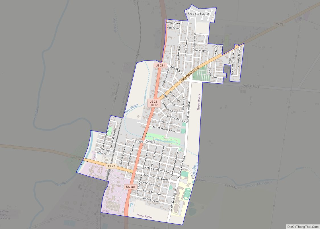
Three Rivers Road Map
Three Rivers city Satellite Map
Geography
Three Rivers is located at 28°28′02″N 98°10′46″W / 28.467155°N 98.179451°W / 28.467155; -98.179451 (28.467155, –98.179451).
According to the United States Census Bureau, the city has a total area of 1.5 square miles (3.9 km), all of it land.
Climate
The climate in this area is characterized by hot, humid summers and generally mild to cool winters. According to the Köppen Climate Classification system, Three Rivers has a humid subtropical climate, abbreviated “Cfa” on climate maps.
See also
Map of Texas State and its subdivision:- Anderson
- Andrews
- Angelina
- Aransas
- Archer
- Armstrong
- Atascosa
- Austin
- Bailey
- Bandera
- Bastrop
- Baylor
- Bee
- Bell
- Bexar
- Blanco
- Borden
- Bosque
- Bowie
- Brazoria
- Brazos
- Brewster
- Briscoe
- Brooks
- Brown
- Burleson
- Burnet
- Caldwell
- Calhoun
- Callahan
- Cameron
- Camp
- Carson
- Cass
- Castro
- Chambers
- Cherokee
- Childress
- Clay
- Cochran
- Coke
- Coleman
- Collin
- Collingsworth
- Colorado
- Comal
- Comanche
- Concho
- Cooke
- Coryell
- Cottle
- Crane
- Crockett
- Crosby
- Culberson
- Dallam
- Dallas
- Dawson
- Deaf Smith
- Delta
- Denton
- Dewitt
- Dickens
- Dimmit
- Donley
- Duval
- Eastland
- Ector
- Edwards
- El Paso
- Ellis
- Erath
- Falls
- Fannin
- Fayette
- Fisher
- Floyd
- Foard
- Fort Bend
- Franklin
- Freestone
- Frio
- Gaines
- Galveston
- Garza
- Gillespie
- Glasscock
- Goliad
- Gonzales
- Gray
- Grayson
- Gregg
- Grimes
- Guadalupe
- Hale
- Hall
- Hamilton
- Hansford
- Hardeman
- Hardin
- Harris
- Harrison
- Hartley
- Haskell
- Hays
- Hemphill
- Henderson
- Hidalgo
- Hill
- Hockley
- Hood
- Hopkins
- Houston
- Howard
- Hudspeth
- Hunt
- Hutchinson
- Irion
- Jack
- Jackson
- Jasper
- Jeff Davis
- Jefferson
- Jim Hogg
- Jim Wells
- Johnson
- Jones
- Karnes
- Kaufman
- Kendall
- Kenedy
- Kent
- Kerr
- Kimble
- King
- Kinney
- Kleberg
- Knox
- La Salle
- Lamar
- Lamb
- Lampasas
- Lavaca
- Lee
- Leon
- Liberty
- Limestone
- Lipscomb
- Live Oak
- Llano
- Loving
- Lubbock
- Lynn
- Madison
- Marion
- Martin
- Mason
- Matagorda
- Maverick
- McCulloch
- McLennan
- McMullen
- Medina
- Menard
- Midland
- Milam
- Mills
- Mitchell
- Montague
- Montgomery
- Moore
- Morris
- Motley
- Nacogdoches
- Navarro
- Newton
- Nolan
- Nueces
- Ochiltree
- Oldham
- Orange
- Palo Pinto
- Panola
- Parker
- Parmer
- Pecos
- Polk
- Potter
- Presidio
- Rains
- Randall
- Reagan
- Real
- Red River
- Reeves
- Refugio
- Roberts
- Robertson
- Rockwall
- Runnels
- Rusk
- Sabine
- San Augustine
- San Jacinto
- San Patricio
- San Saba
- Schleicher
- Scurry
- Shackelford
- Shelby
- Sherman
- Smith
- Somervell
- Starr
- Stephens
- Sterling
- Stonewall
- Sutton
- Swisher
- Tarrant
- Taylor
- Terrell
- Terry
- Throckmorton
- Titus
- Tom Green
- Travis
- Trinity
- Tyler
- Upshur
- Upton
- Uvalde
- Val Verde
- Van Zandt
- Victoria
- Walker
- Waller
- Ward
- Washington
- Webb
- Wharton
- Wheeler
- Wichita
- Wilbarger
- Willacy
- Williamson
- Wilson
- Winkler
- Wise
- Wood
- Yoakum
- Young
- Zapata
- Zavala
- Alabama
- Alaska
- Arizona
- Arkansas
- California
- Colorado
- Connecticut
- Delaware
- District of Columbia
- Florida
- Georgia
- Hawaii
- Idaho
- Illinois
- Indiana
- Iowa
- Kansas
- Kentucky
- Louisiana
- Maine
- Maryland
- Massachusetts
- Michigan
- Minnesota
- Mississippi
- Missouri
- Montana
- Nebraska
- Nevada
- New Hampshire
- New Jersey
- New Mexico
- New York
- North Carolina
- North Dakota
- Ohio
- Oklahoma
- Oregon
- Pennsylvania
- Rhode Island
- South Carolina
- South Dakota
- Tennessee
- Texas
- Utah
- Vermont
- Virginia
- Washington
- West Virginia
- Wisconsin
- Wyoming


