Union Valley is a city in Hunt County, Texas, United States. The city was incorporated in 2007. The population at the 2010 census was 307.
| Name: | Union Valley city |
|---|---|
| LSAD Code: | 25 |
| LSAD Description: | city (suffix) |
| State: | Texas |
| County: | Hunt County |
| Elevation: | 513 ft (156 m) |
| Total Area: | 2.47 sq mi (6.41 km²) |
| Land Area: | 2.46 sq mi (6.37 km²) |
| Water Area: | 0.02 sq mi (0.04 km²) |
| Total Population: | 307 |
| Population Density: | 161.92/sq mi (62.51/km²) |
| ZIP code: | 75189 |
| FIPS code: | 4874372 |
| GNISfeature ID: | 1379196 |
Online Interactive Map
Click on ![]() to view map in "full screen" mode.
to view map in "full screen" mode.
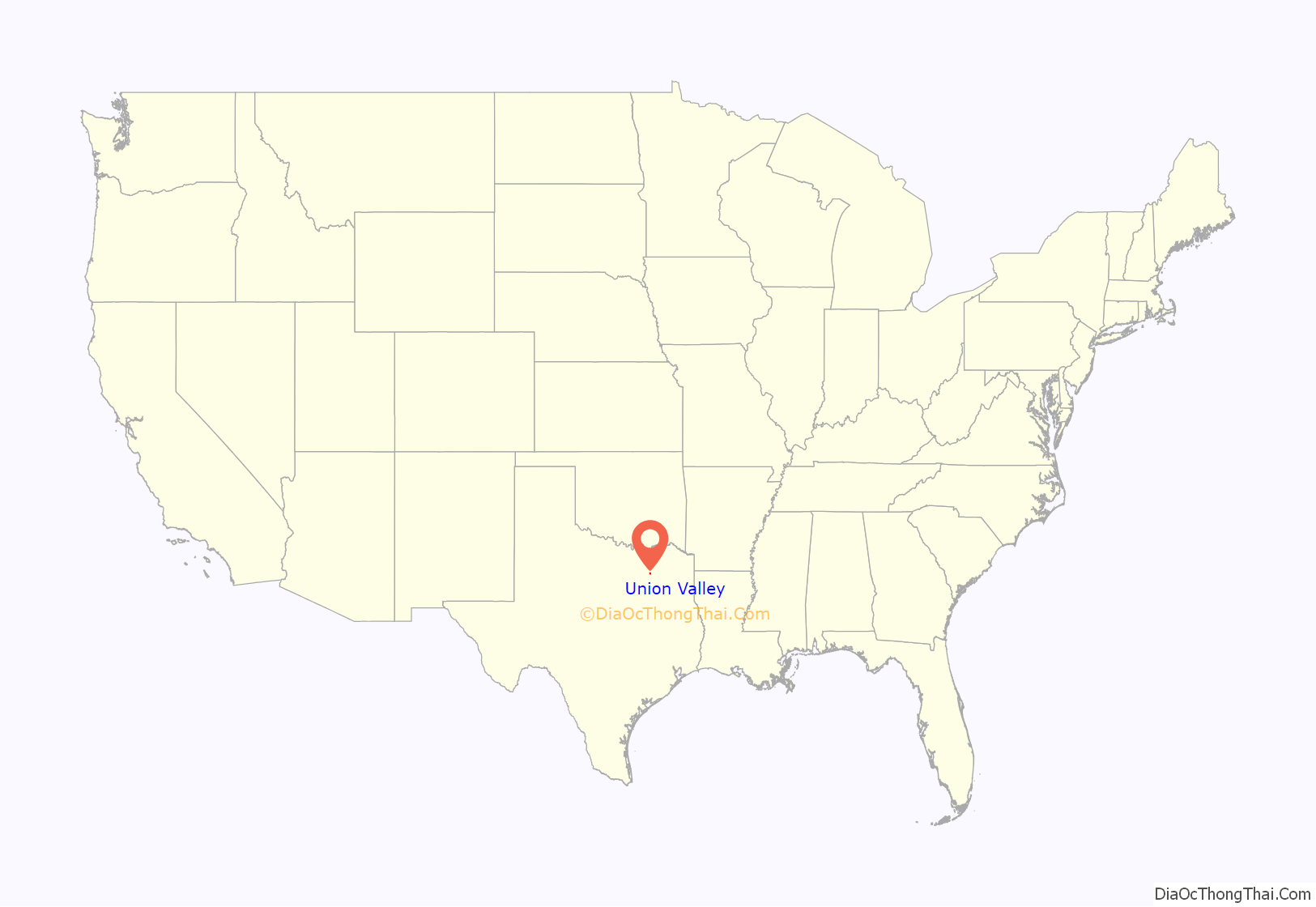
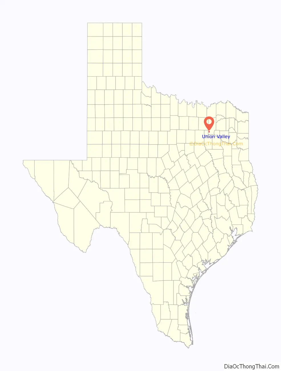
Union Valley location map. Where is Union Valley city?
History
Settlement of the area began in the 1880s. From its inception, Union Valley served area farmers as a school and church community. It was bypassed by the railroads that crisscrossed Hunt County in the late 1880s and early 1890s. This resulted in the community remaining lightly populated throughout the twentieth century.
Moves to incorporate Union Valley arose in response to the rapidly growing and expanding communities to the west in neighboring Rockwall County, particularly Royse City, which grew from a population of 2,957 in 2000 to approximately 9,300 in 2007. In the years preceding 2007, Royse City had been annexing land extending into Hunt county, and Union Valley residents felt that incorporation was the only way to prevent annexation by Royse City or any other city. Fears of higher taxes and a loss of the area’s rural, close-knit feel were the main concerns raised by Union Valley residents.
The first attempt at incorporation took place in May 2006, but was defeated by a vote of 151 (89.3%) against and 18 (10.7%) for. This was due in part to some residents fearing that liquor stores would come to the community. After this defeat, a series of public meetings on the issue occurred in 2007 and a second incorporation vote was held on November 6, 2007 in which it was approved by 83.3% of the voters. A total of 90 votes were cast (out of 173 registered voters), 75 in favor of incorporation and 15 against. According to the Union Valley incorporation committee, the city has about 78 households.
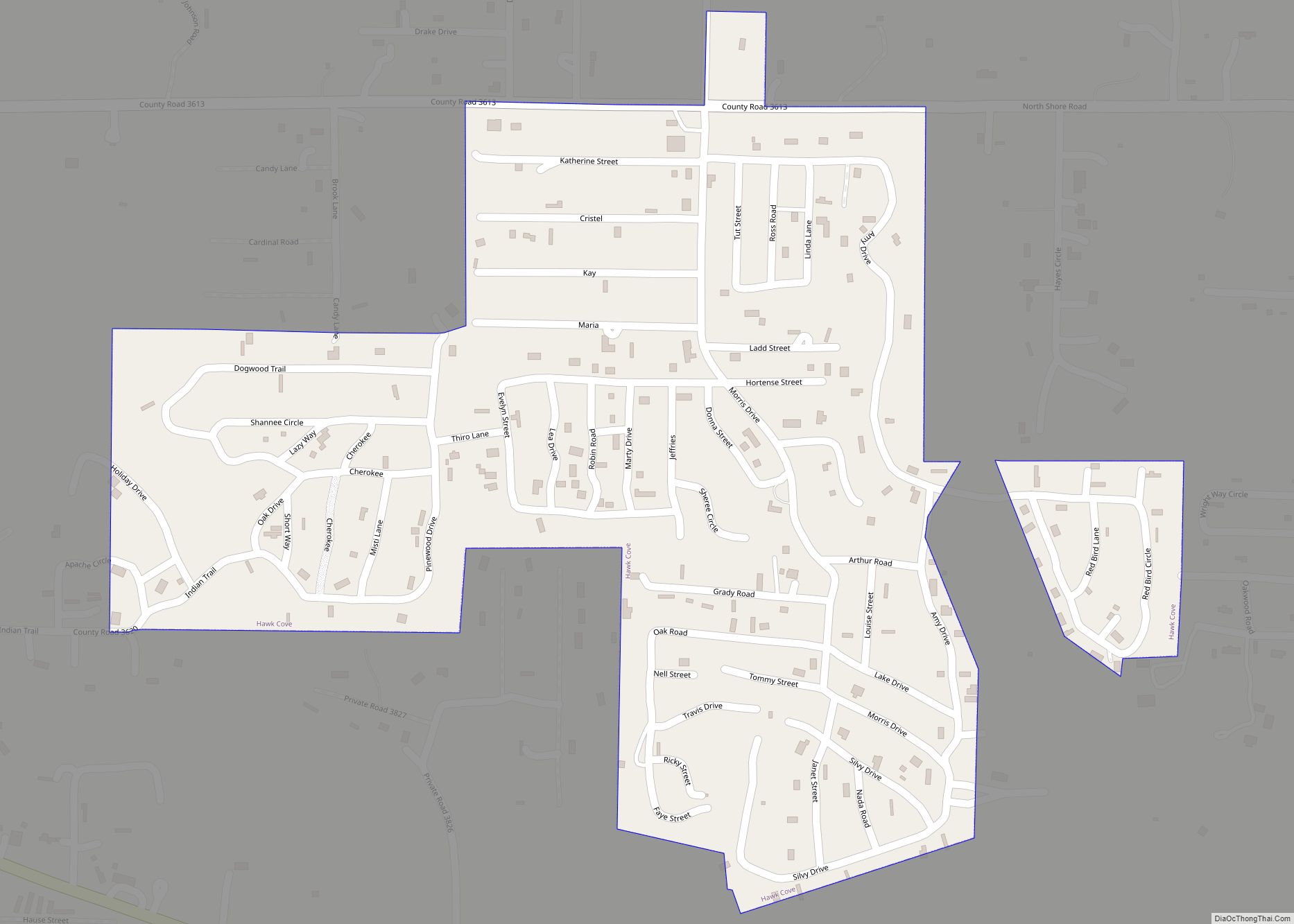
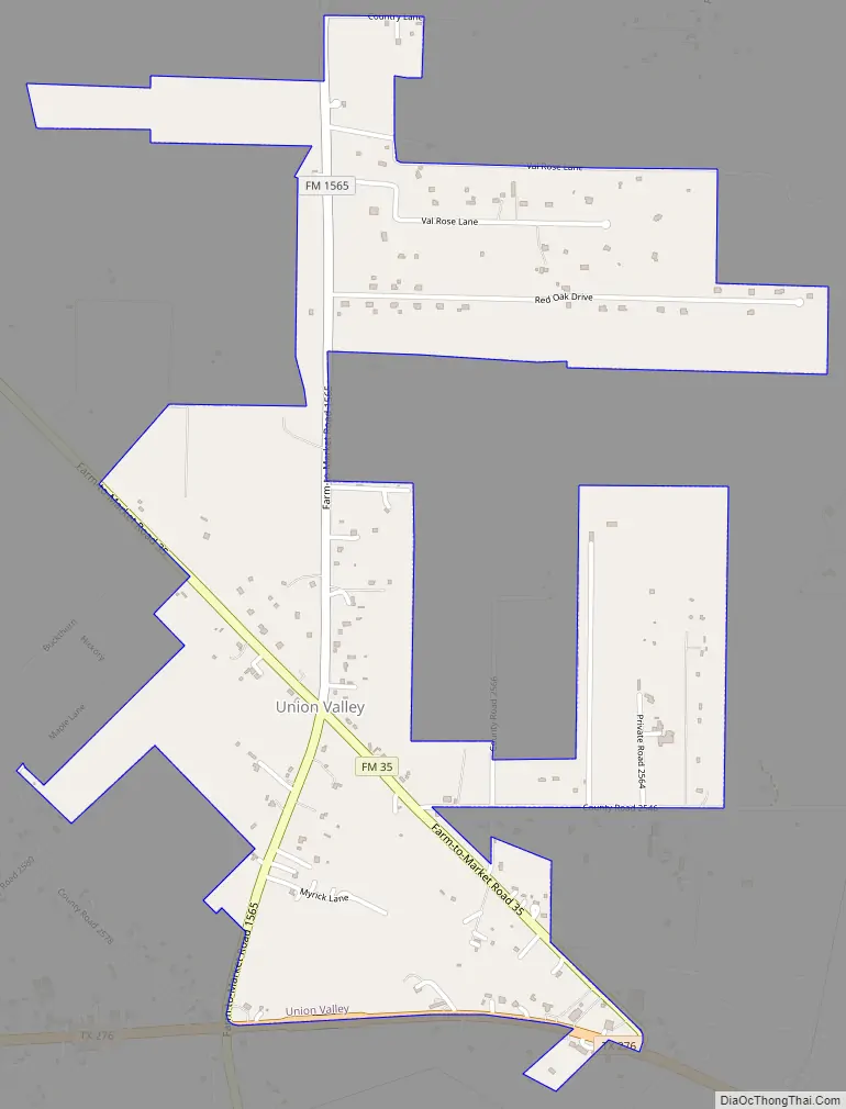
Union Valley Road Map
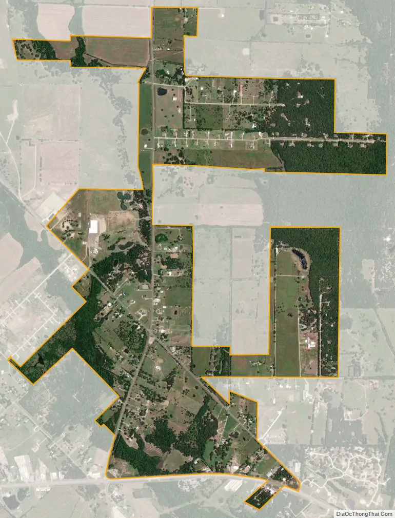
Union Valley city Satellite Map
Geography
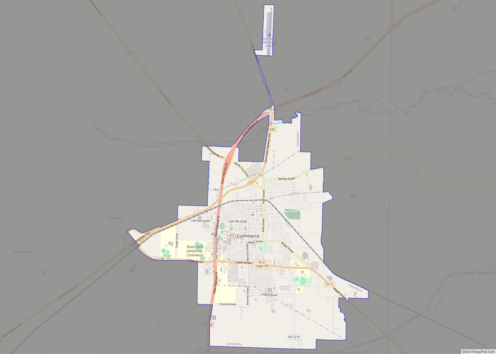
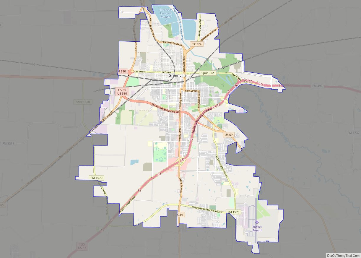
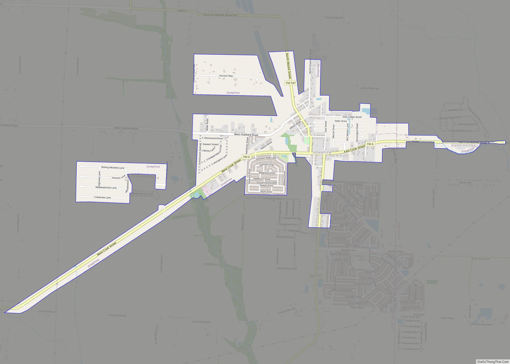
Union Valley is located approximately 5 miles (8 km) west of Quinlan in southwestern Hunt County. It is 19 miles (31 km) southwest of Greenville, the Hunt county seat, 7 miles (11 km) southeast of Royse City, and 36 miles (58 km) northeast of Dallas.
Union Valley has an area of 1.8 square miles (4.6 km) within its city limits, of which 0.01 square miles (0.02 km), or 0.48%, are water. The city contains households and businesses which front Farm to Market Roads 1565 and 35. It also includes the northeast corner of FM 1565 and State Highway 276 as well as a portion of Old Quinlan Road.
See also
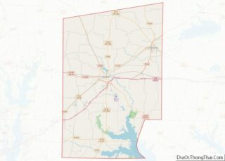
Map of Texas State and its subdivision:- Anderson
- Andrews
- Angelina
- Aransas
- Archer
- Armstrong
- Atascosa
- Austin
- Bailey
- Bandera
- Bastrop
- Baylor
- Bee
- Bell
- Bexar
- Blanco
- Borden
- Bosque
- Bowie
- Brazoria
- Brazos
- Brewster
- Briscoe
- Brooks
- Brown
- Burleson
- Burnet
- Caldwell
- Calhoun
- Callahan
- Cameron
- Camp
- Carson
- Cass
- Castro
- Chambers
- Cherokee
- Childress
- Clay
- Cochran
- Coke
- Coleman
- Collin
- Collingsworth
- Colorado
- Comal
- Comanche
- Concho
- Cooke
- Coryell
- Cottle
- Crane
- Crockett
- Crosby
- Culberson
- Dallam
- Dallas
- Dawson
- Deaf Smith
- Delta
- Denton
- Dewitt
- Dickens
- Dimmit
- Donley
- Duval
- Eastland
- Ector
- Edwards
- El Paso
- Ellis
- Erath
- Falls
- Fannin
- Fayette
- Fisher
- Floyd
- Foard
- Fort Bend
- Franklin
- Freestone
- Frio
- Gaines
- Galveston
- Garza
- Gillespie
- Glasscock
- Goliad
- Gonzales
- Gray
- Grayson
- Gregg
- Grimes
- Guadalupe
- Hale
- Hall
- Hamilton
- Hansford
- Hardeman
- Hardin
- Harris
- Harrison
- Hartley
- Haskell
- Hays
- Hemphill
- Henderson
- Hidalgo
- Hill
- Hockley
- Hood
- Hopkins
- Houston
- Howard
- Hudspeth
- Hunt
- Hutchinson
- Irion
- Jack
- Jackson
- Jasper
- Jeff Davis
- Jefferson
- Jim Hogg
- Jim Wells
- Johnson
- Jones
- Karnes
- Kaufman
- Kendall
- Kenedy
- Kent
- Kerr
- Kimble
- King
- Kinney
- Kleberg
- Knox
- La Salle
- Lamar
- Lamb
- Lampasas
- Lavaca
- Lee
- Leon
- Liberty
- Limestone
- Lipscomb
- Live Oak
- Llano
- Loving
- Lubbock
- Lynn
- Madison
- Marion
- Martin
- Mason
- Matagorda
- Maverick
- McCulloch
- McLennan
- McMullen
- Medina
- Menard
- Midland
- Milam
- Mills
- Mitchell
- Montague
- Montgomery
- Moore
- Morris
- Motley
- Nacogdoches
- Navarro
- Newton
- Nolan
- Nueces
- Ochiltree
- Oldham
- Orange
- Palo Pinto
- Panola
- Parker
- Parmer
- Pecos
- Polk
- Potter
- Presidio
- Rains
- Randall
- Reagan
- Real
- Red River
- Reeves
- Refugio
- Roberts
- Robertson
- Rockwall
- Runnels
- Rusk
- Sabine
- San Augustine
- San Jacinto
- San Patricio
- San Saba
- Schleicher
- Scurry
- Shackelford
- Shelby
- Sherman
- Smith
- Somervell
- Starr
- Stephens
- Sterling
- Stonewall
- Sutton
- Swisher
- Tarrant
- Taylor
- Terrell
- Terry
- Throckmorton
- Titus
- Tom Green
- Travis
- Trinity
- Tyler
- Upshur
- Upton
- Uvalde
- Val Verde
- Van Zandt
- Victoria
- Walker
- Waller
- Ward
- Washington
- Webb
- Wharton
- Wheeler
- Wichita
- Wilbarger
- Willacy
- Williamson
- Wilson
- Winkler
- Wise
- Wood
- Yoakum
- Young
- Zapata
- Zavala
- Alabama
- Alaska
- Arizona
- Arkansas
- California
- Colorado
- Connecticut
- Delaware
- District of Columbia
- Florida
- Georgia
- Hawaii
- Idaho
- Illinois
- Indiana
- Iowa
- Kansas
- Kentucky
- Louisiana
- Maine
- Maryland
- Massachusetts
- Michigan
- Minnesota
- Mississippi
- Missouri
- Montana
- Nebraska
- Nevada
- New Hampshire
- New Jersey
- New Mexico
- New York
- North Carolina
- North Dakota
- Ohio
- Oklahoma
- Oregon
- Pennsylvania
- Rhode Island
- South Carolina
- South Dakota
- Tennessee
- Texas
- Utah
- Vermont
- Virginia
- Washington
- West Virginia
- Wisconsin
- Wyoming