Weir is a city in Williamson County, Texas, United States. The population was 450 at the 2010 census.
| Name: | Weir city |
|---|---|
| LSAD Code: | 25 |
| LSAD Description: | city (suffix) |
| State: | Texas |
| County: | Williamson County |
| Elevation: | 682 ft (208 m) |
| Total Area: | 1.64 sq mi (4.25 km²) |
| Land Area: | 1.62 sq mi (4.19 km²) |
| Water Area: | 0.03 sq mi (0.07 km²) |
| Total Population: | 450 |
| Population Density: | 327.97/sq mi (126.64/km²) |
| ZIP code: | 78674 |
| Area code: | 512 |
| FIPS code: | 4877056 |
| GNISfeature ID: | 1370999 |
Online Interactive Map
Click on ![]() to view map in "full screen" mode.
to view map in "full screen" mode.
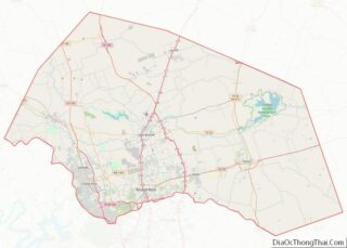
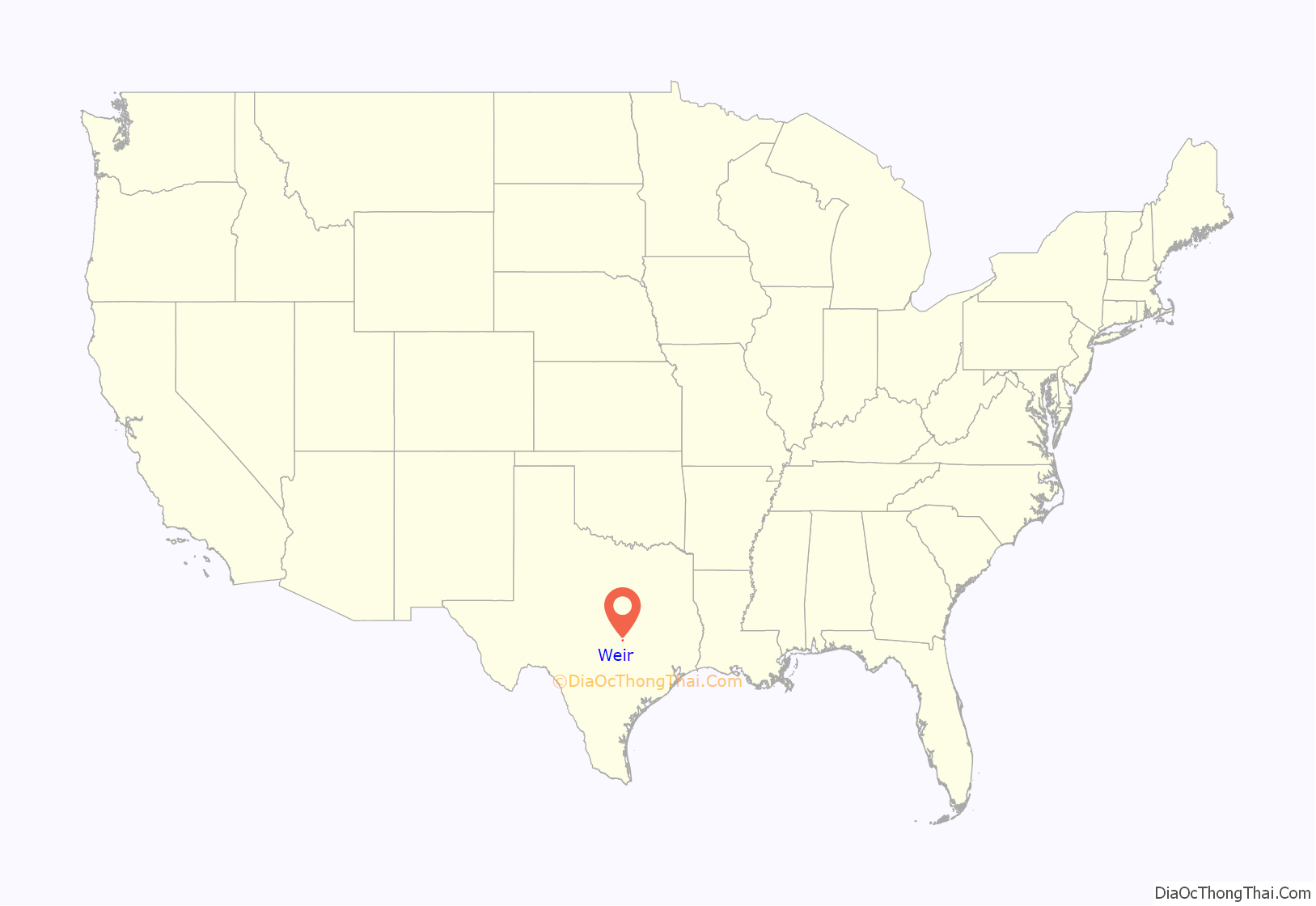
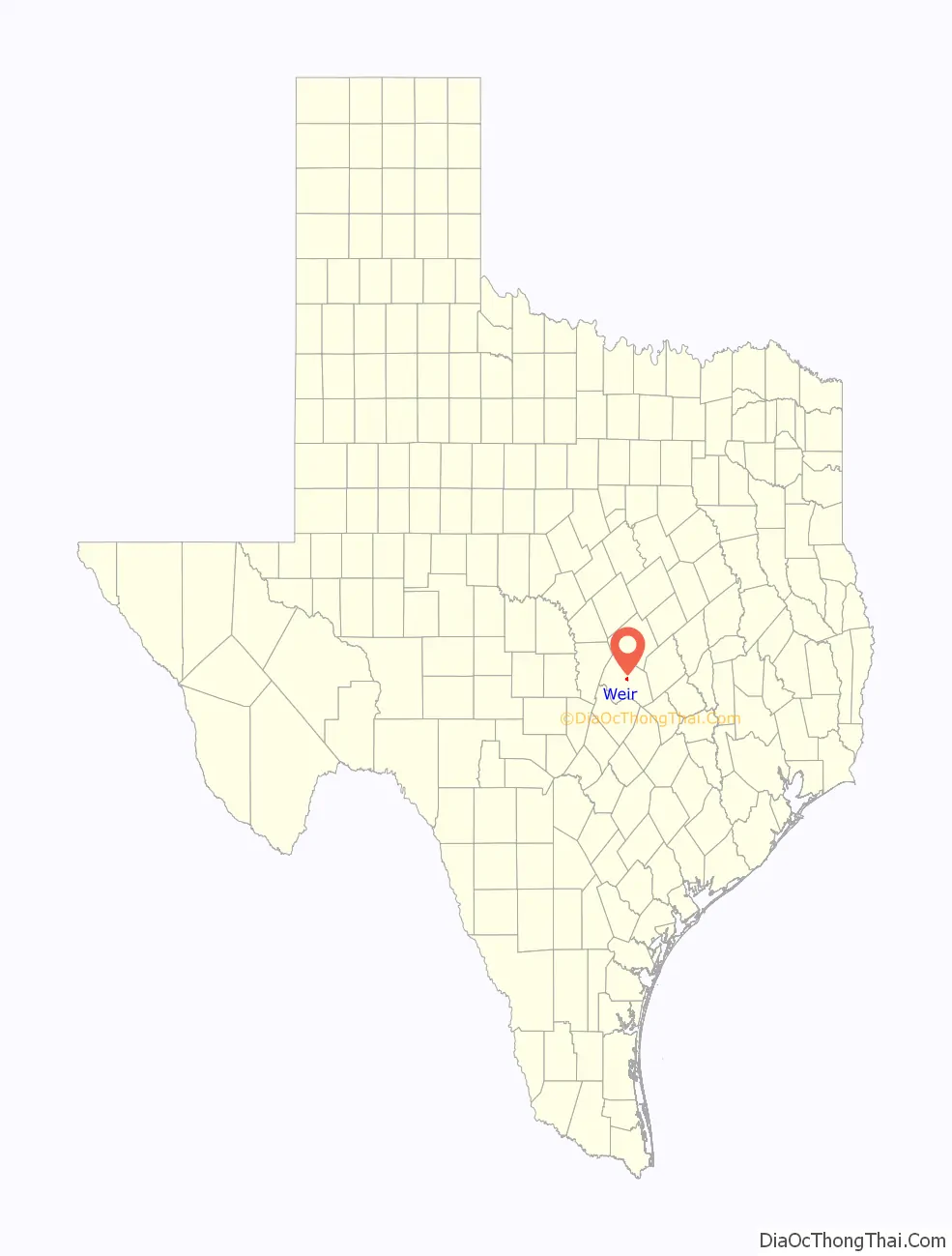
Weir location map. Where is Weir city?
History
Tennessee-native Thomas Calvin Weir (1826–1901) came to Williamson County in 1856. He bought land in this area and became a prosperous farmer. Alabamian James Francis Towns (1850–1937) came in 1870 and settled nearby on the San Gabriel River. He and his brother, Robert W. Towns (1848–1938), operated a gin and blacksmith shop, as well as Towns Mill.
In the late 19th century, the communities of Weir and Townsville (or Towns Mill) grew around these early settlers. Churches included Baptist and Presbyterian congregations that met at the prairie springs school, as well as an African American church that met in a school near Mankins Crossing. Calvin Weir’s daughter, Lucy, served as postmaster at the post office in Townsville, where she also ran a small store.
The communities developed similarly until 1893, when the Georgetown and Granger Railroad came through Weir, bypassing Townsville. In 1903, after the Missouri, Kansas and Texas Rail-Road (Mkt) bought the line, known as the Katy, most area residents moved into the town of Weir, officially established that same year. The Katy Lake Resort, created by Mkt on the river at Towns Mill Dam, attracted tourists to the area. The Townsville post office moved to Weir, and with several new businesses, the town began to thrive.
A flood in 1913 damaged the resort and several local businesses, and after a severe drought, World War I and the great depression, Weir’s population faltered but began to prosper again in the mid-20th century. Following voter approval, Weir incorporated as a city in 1987.
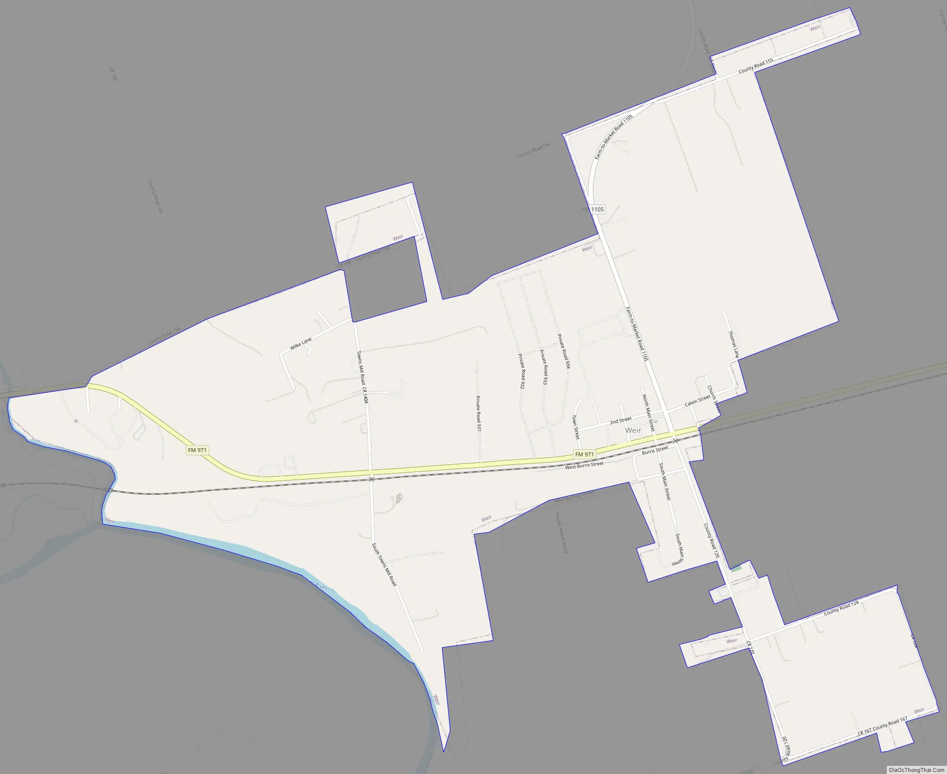
Weir Road Map
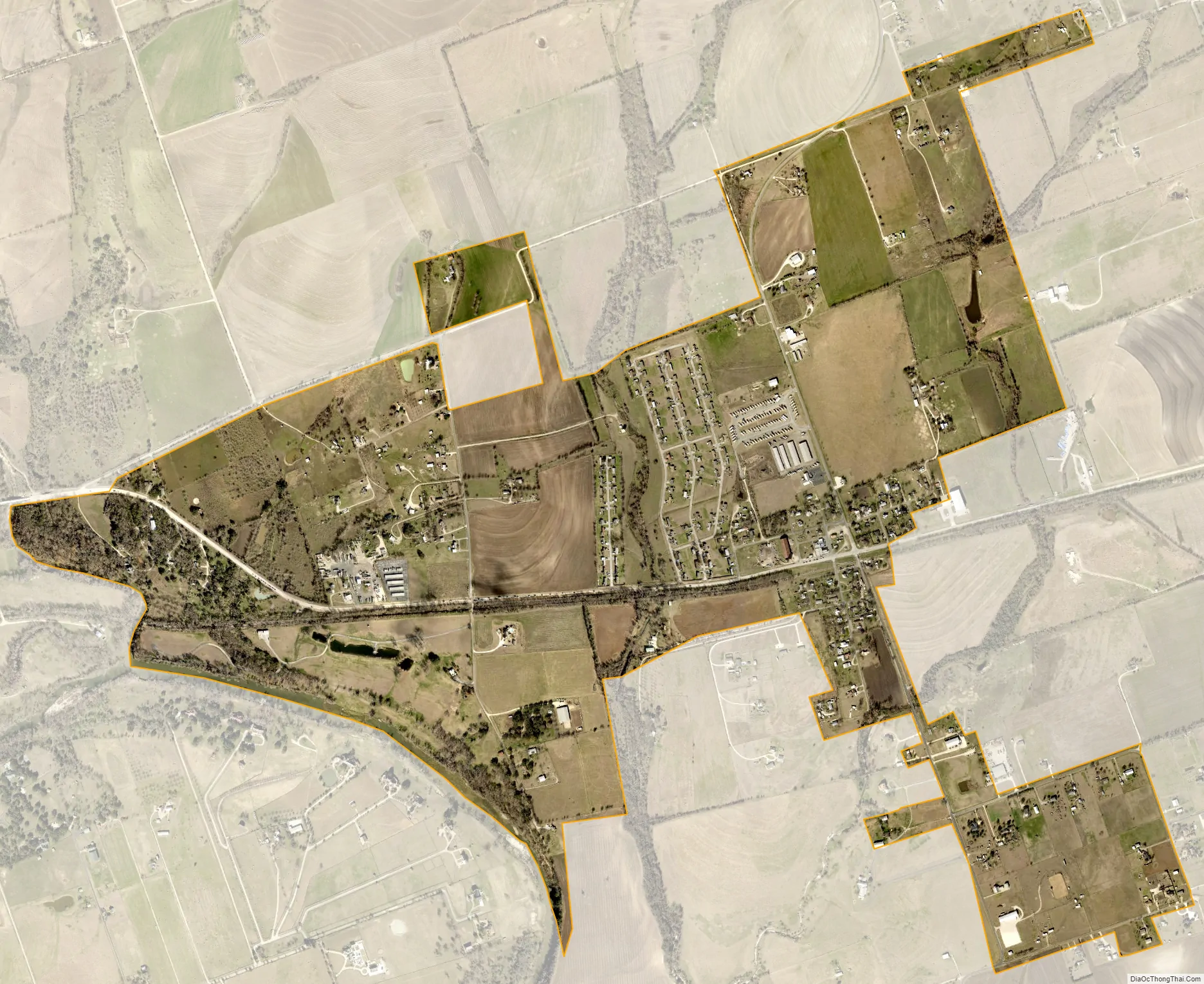
Weir city Satellite Map
Geography
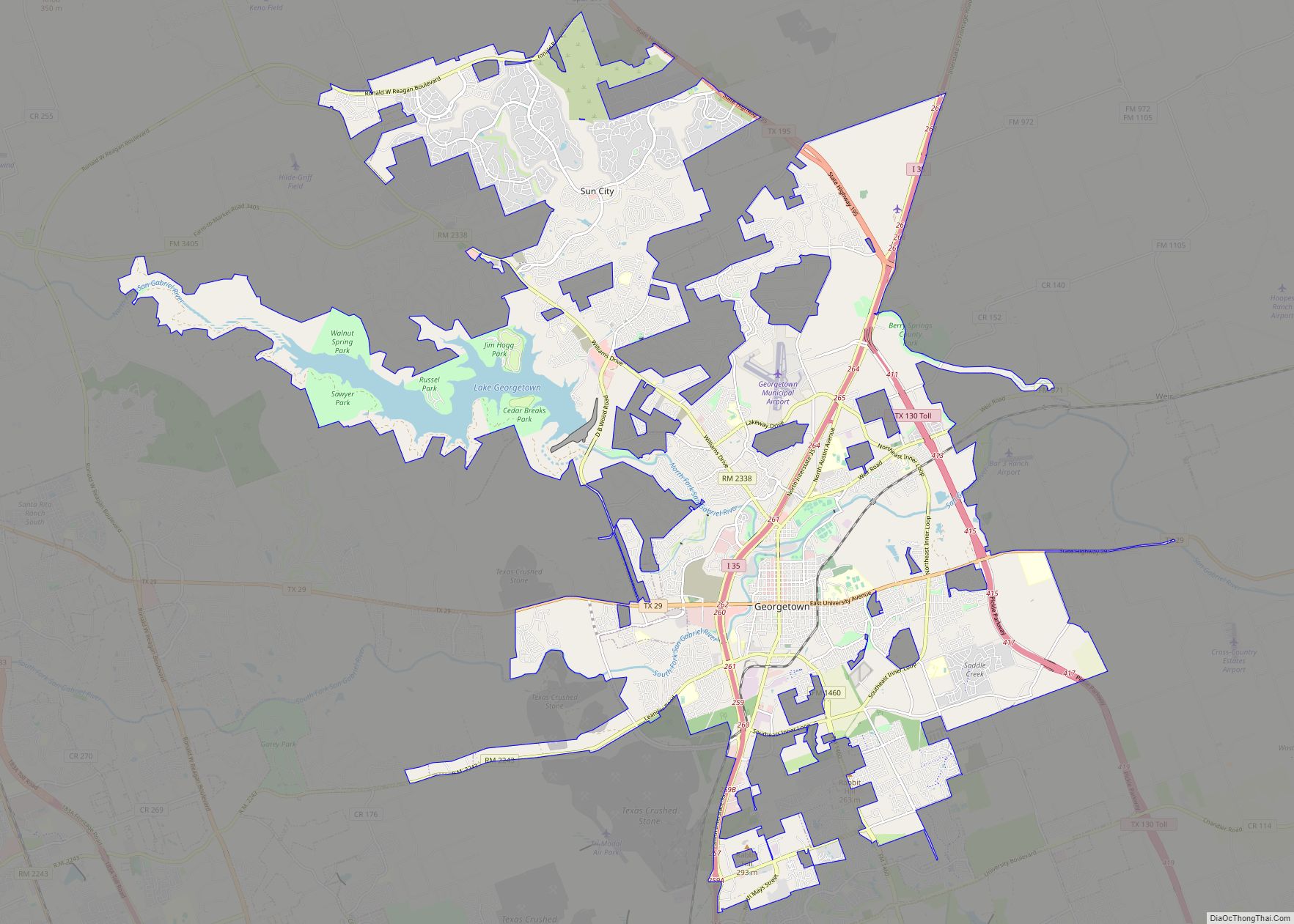
Weir is located at 30°40′30″N 97°35′16″W / 30.675007°N 97.587862°W / 30.675007; -97.587862 (30.675007, –97.587862), about six miles northeast of Georgetown and 30 miles north of Austin.
According to the United States Census Bureau, the city has a total area of 1.6 square miles (4.1 km), all of it land.
See also
Map of Texas State and its subdivision:- Anderson
- Andrews
- Angelina
- Aransas
- Archer
- Armstrong
- Atascosa
- Austin
- Bailey
- Bandera
- Bastrop
- Baylor
- Bee
- Bell
- Bexar
- Blanco
- Borden
- Bosque
- Bowie
- Brazoria
- Brazos
- Brewster
- Briscoe
- Brooks
- Brown
- Burleson
- Burnet
- Caldwell
- Calhoun
- Callahan
- Cameron
- Camp
- Carson
- Cass
- Castro
- Chambers
- Cherokee
- Childress
- Clay
- Cochran
- Coke
- Coleman
- Collin
- Collingsworth
- Colorado
- Comal
- Comanche
- Concho
- Cooke
- Coryell
- Cottle
- Crane
- Crockett
- Crosby
- Culberson
- Dallam
- Dallas
- Dawson
- Deaf Smith
- Delta
- Denton
- Dewitt
- Dickens
- Dimmit
- Donley
- Duval
- Eastland
- Ector
- Edwards
- El Paso
- Ellis
- Erath
- Falls
- Fannin
- Fayette
- Fisher
- Floyd
- Foard
- Fort Bend
- Franklin
- Freestone
- Frio
- Gaines
- Galveston
- Garza
- Gillespie
- Glasscock
- Goliad
- Gonzales
- Gray
- Grayson
- Gregg
- Grimes
- Guadalupe
- Hale
- Hall
- Hamilton
- Hansford
- Hardeman
- Hardin
- Harris
- Harrison
- Hartley
- Haskell
- Hays
- Hemphill
- Henderson
- Hidalgo
- Hill
- Hockley
- Hood
- Hopkins
- Houston
- Howard
- Hudspeth
- Hunt
- Hutchinson
- Irion
- Jack
- Jackson
- Jasper
- Jeff Davis
- Jefferson
- Jim Hogg
- Jim Wells
- Johnson
- Jones
- Karnes
- Kaufman
- Kendall
- Kenedy
- Kent
- Kerr
- Kimble
- King
- Kinney
- Kleberg
- Knox
- La Salle
- Lamar
- Lamb
- Lampasas
- Lavaca
- Lee
- Leon
- Liberty
- Limestone
- Lipscomb
- Live Oak
- Llano
- Loving
- Lubbock
- Lynn
- Madison
- Marion
- Martin
- Mason
- Matagorda
- Maverick
- McCulloch
- McLennan
- McMullen
- Medina
- Menard
- Midland
- Milam
- Mills
- Mitchell
- Montague
- Montgomery
- Moore
- Morris
- Motley
- Nacogdoches
- Navarro
- Newton
- Nolan
- Nueces
- Ochiltree
- Oldham
- Orange
- Palo Pinto
- Panola
- Parker
- Parmer
- Pecos
- Polk
- Potter
- Presidio
- Rains
- Randall
- Reagan
- Real
- Red River
- Reeves
- Refugio
- Roberts
- Robertson
- Rockwall
- Runnels
- Rusk
- Sabine
- San Augustine
- San Jacinto
- San Patricio
- San Saba
- Schleicher
- Scurry
- Shackelford
- Shelby
- Sherman
- Smith
- Somervell
- Starr
- Stephens
- Sterling
- Stonewall
- Sutton
- Swisher
- Tarrant
- Taylor
- Terrell
- Terry
- Throckmorton
- Titus
- Tom Green
- Travis
- Trinity
- Tyler
- Upshur
- Upton
- Uvalde
- Val Verde
- Van Zandt
- Victoria
- Walker
- Waller
- Ward
- Washington
- Webb
- Wharton
- Wheeler
- Wichita
- Wilbarger
- Willacy
- Williamson
- Wilson
- Winkler
- Wise
- Wood
- Yoakum
- Young
- Zapata
- Zavala
- Alabama
- Alaska
- Arizona
- Arkansas
- California
- Colorado
- Connecticut
- Delaware
- District of Columbia
- Florida
- Georgia
- Hawaii
- Idaho
- Illinois
- Indiana
- Iowa
- Kansas
- Kentucky
- Louisiana
- Maine
- Maryland
- Massachusetts
- Michigan
- Minnesota
- Mississippi
- Missouri
- Montana
- Nebraska
- Nevada
- New Hampshire
- New Jersey
- New Mexico
- New York
- North Carolina
- North Dakota
- Ohio
- Oklahoma
- Oregon
- Pennsylvania
- Rhode Island
- South Carolina
- South Dakota
- Tennessee
- Texas
- Utah
- Vermont
- Virginia
- Washington
- West Virginia
- Wisconsin
- Wyoming