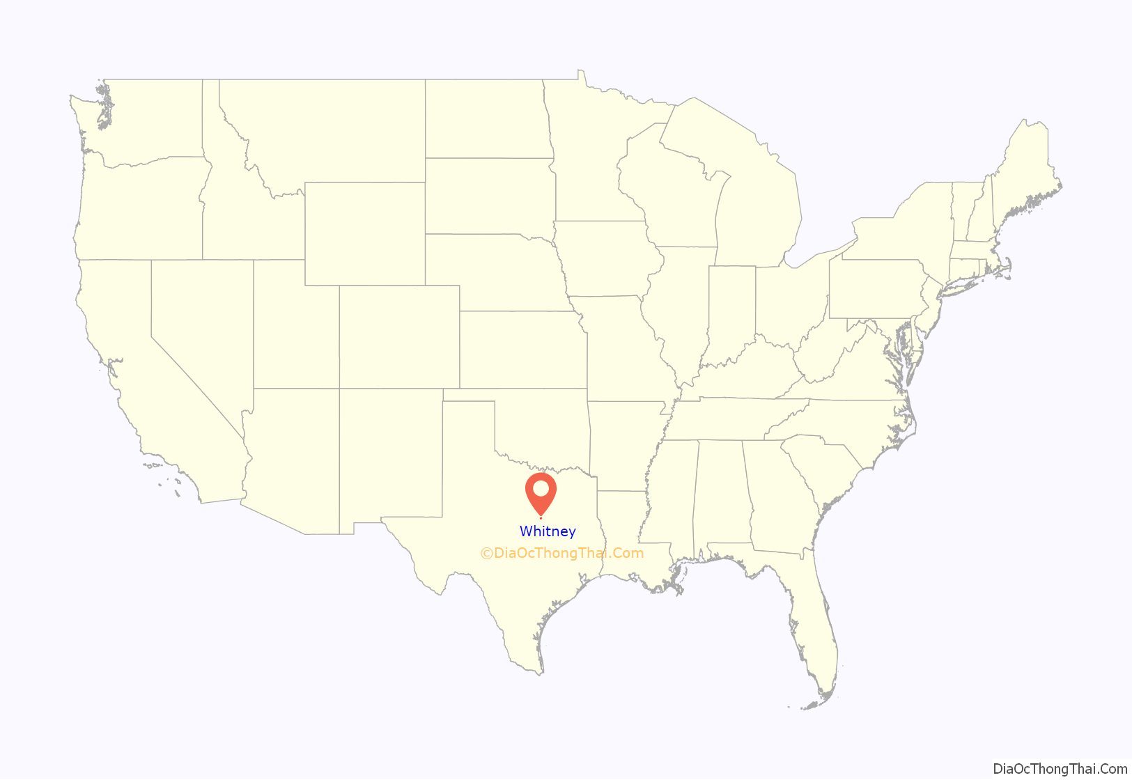
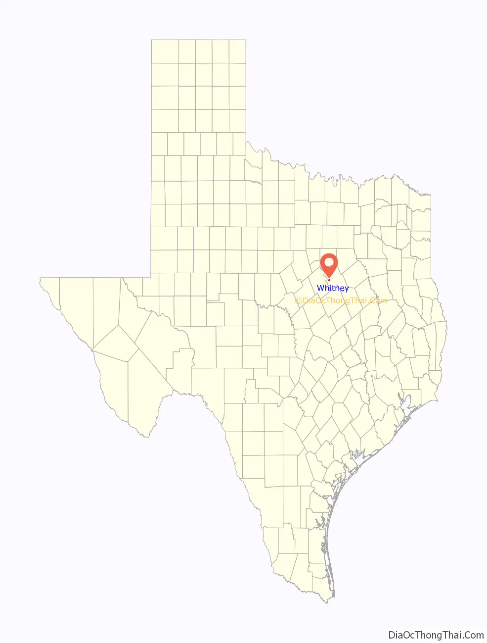
Whitney is a city in Hill County, Texas, United States. Its population was 1,992 at the 2020 census. The city is 3 miles (5 km) east of Lake Whitney.
The Amazon Prime original movie The Vast of Night was shot in Whitney, which doubled for the fictional town of Cayuga, New Mexico.
| Name: | Whitney town |
|---|---|
| LSAD Code: | 43 |
| LSAD Description: | town (suffix) |
| State: | Texas |
| County: | Hill County |
| Elevation: | 594 ft (181 m) |
| Total Area: | 1.88 sq mi (4.88 km²) |
| Land Area: | 1.86 sq mi (4.82 km²) |
| Water Area: | 0.02 sq mi (0.06 km²) |
| Total Population: | 1,992 |
| Population Density: | 1,162.37/sq mi (448.72/km²) |
| ZIP code: | 76692 |
| Area code: | 254 |
| FIPS code: | 4878664 |
| GNISfeature ID: | 1350023 |
| Website: | cityofwhitneytx.org |
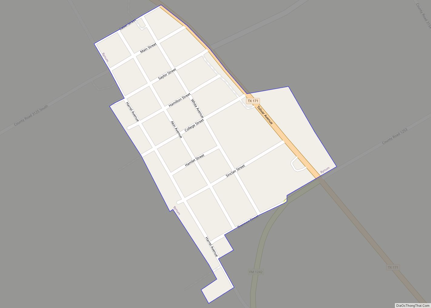
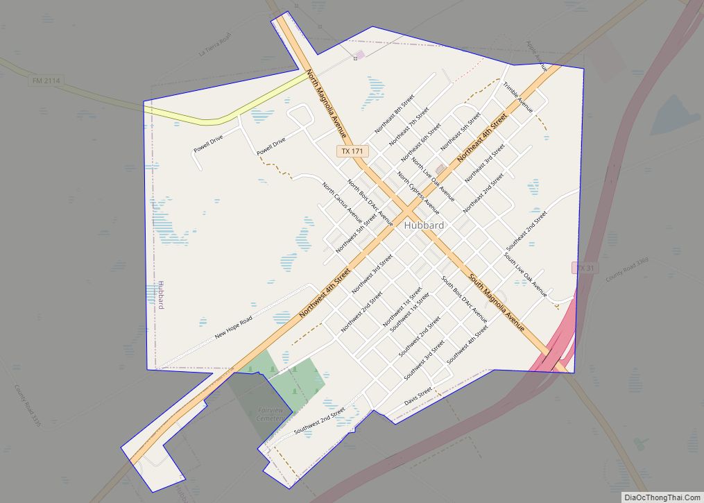
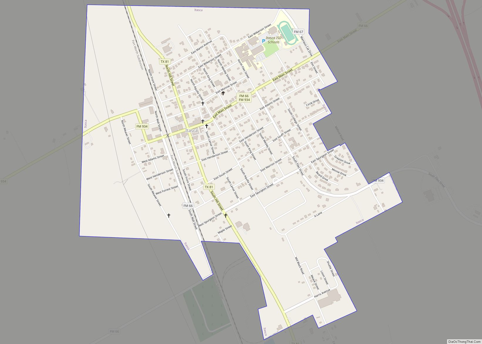
Online Interactive Map
Click on ![]() to view map in "full screen" mode.
to view map in "full screen" mode.
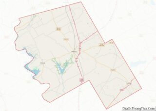
Whitney location map. Where is Whitney town?
History
Whitney was established in 1876 when the Houston and Texas Central Railroad (H&TC) built a line through Hill County to Cleburne. The town’s namesake comes from Charles A. Whitney, principle stock holder of H&TC, and brother-in-law to Charles Morgan.
Battle of the Benches
In 1922, D. (“Doctor Dee”) Scarborough, the druggist of Whitney installed a bench outside of his store. Within a short period of time, the bench became home to the local old men seeking refuge from the sun and women; comfortably installed on its well-worn planks, they whittled, spat tobacco juice on the sidewalks, studied the weather and damned the modern world with lordliness and venom.
In the following years after World War II, Whitney began to modernize. The town’s housewives absorbed the spirit of change and called on the young Mayor Fred Basham to remove the bench, complaining about the spitting and language of the old men. The mayor complied and had the chief of police move the bench into an alley nearby. Upon the discovery their sanctuary was ignominiously lugged into a nearby alley, the old men of the town angrily threw a petition to asking for the bench to be placed back.
When the town ignored the old men, they dragged nail kegs to the spot where the bench had originally reposed. The chief of police threatened to confiscate the nail kegs. That was more than the old men could take. They demanded, and finally received a special municipal election to decide whether the bench should be restored.
On July 30, 1949, the women and mayor were defeated by a vote of 124 to 67 in favor of returning the bench.
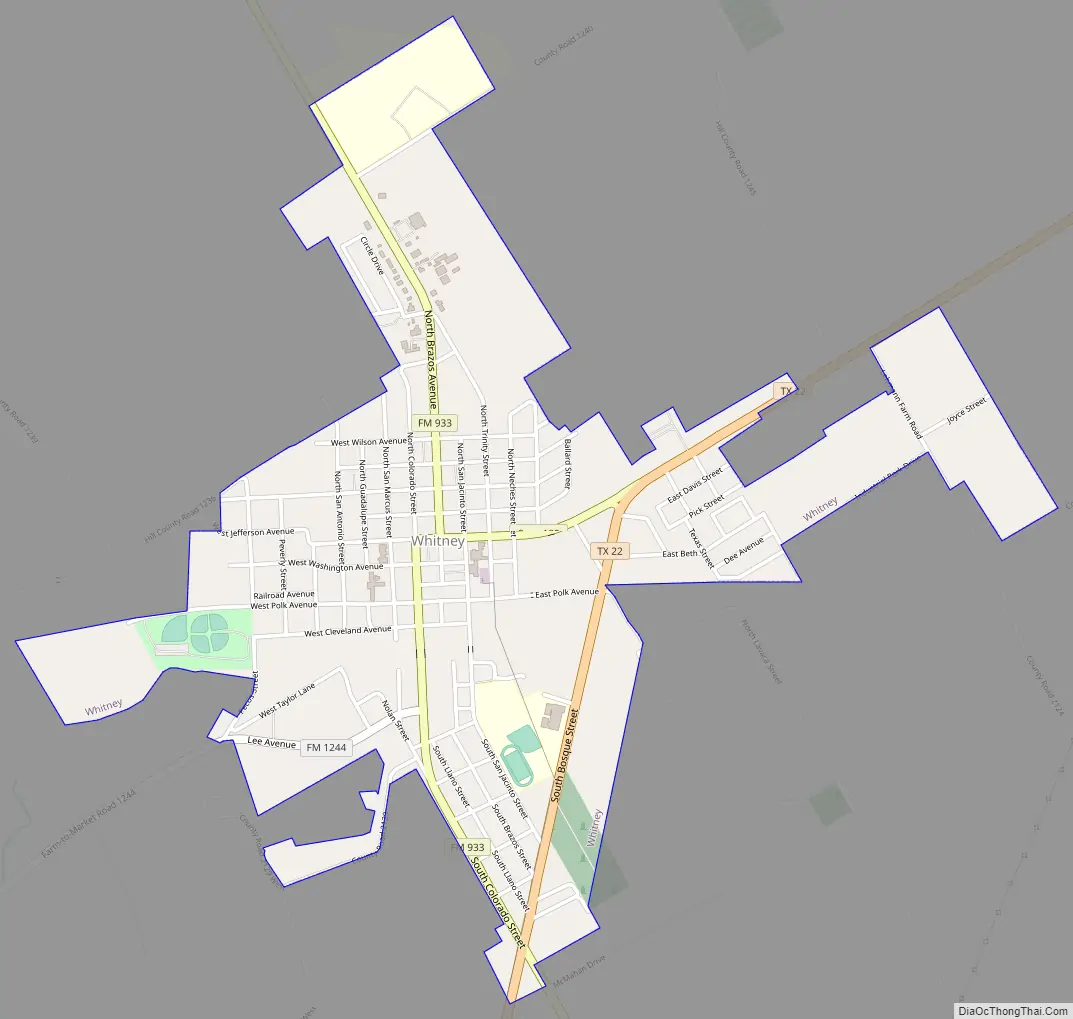
Whitney Road Map
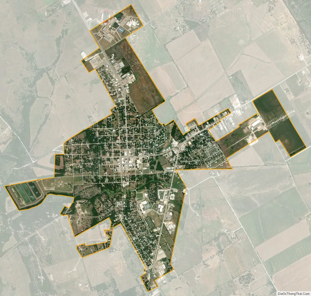
Whitney city Satellite Map
Geography
Located in western Hill County at 31°57′3″N 97°19′15″W / 31.95083°N 97.32083°W / 31.95083; -97.32083 (31.950876, –97.320716). Texas State Highway 22 passes through the southeast side of the city, leading east 12 miles (19 km) to Hillsboro, the county seat, and west 26 miles (42 km) to Meridian. Lake Whitney State Park is 3 miles (5 km) west of Whitney via Farm Road 1244.
According to the United States Census Bureau, the city has a total area of 1.9 square miles (4.9 km), of which 0.02 square miles (0.06 km), or 1.23%, is covered by water.
See also
Map of Texas State and its subdivision:- Anderson
- Andrews
- Angelina
- Aransas
- Archer
- Armstrong
- Atascosa
- Austin
- Bailey
- Bandera
- Bastrop
- Baylor
- Bee
- Bell
- Bexar
- Blanco
- Borden
- Bosque
- Bowie
- Brazoria
- Brazos
- Brewster
- Briscoe
- Brooks
- Brown
- Burleson
- Burnet
- Caldwell
- Calhoun
- Callahan
- Cameron
- Camp
- Carson
- Cass
- Castro
- Chambers
- Cherokee
- Childress
- Clay
- Cochran
- Coke
- Coleman
- Collin
- Collingsworth
- Colorado
- Comal
- Comanche
- Concho
- Cooke
- Coryell
- Cottle
- Crane
- Crockett
- Crosby
- Culberson
- Dallam
- Dallas
- Dawson
- Deaf Smith
- Delta
- Denton
- Dewitt
- Dickens
- Dimmit
- Donley
- Duval
- Eastland
- Ector
- Edwards
- El Paso
- Ellis
- Erath
- Falls
- Fannin
- Fayette
- Fisher
- Floyd
- Foard
- Fort Bend
- Franklin
- Freestone
- Frio
- Gaines
- Galveston
- Garza
- Gillespie
- Glasscock
- Goliad
- Gonzales
- Gray
- Grayson
- Gregg
- Grimes
- Guadalupe
- Hale
- Hall
- Hamilton
- Hansford
- Hardeman
- Hardin
- Harris
- Harrison
- Hartley
- Haskell
- Hays
- Hemphill
- Henderson
- Hidalgo
- Hill
- Hockley
- Hood
- Hopkins
- Houston
- Howard
- Hudspeth
- Hunt
- Hutchinson
- Irion
- Jack
- Jackson
- Jasper
- Jeff Davis
- Jefferson
- Jim Hogg
- Jim Wells
- Johnson
- Jones
- Karnes
- Kaufman
- Kendall
- Kenedy
- Kent
- Kerr
- Kimble
- King
- Kinney
- Kleberg
- Knox
- La Salle
- Lamar
- Lamb
- Lampasas
- Lavaca
- Lee
- Leon
- Liberty
- Limestone
- Lipscomb
- Live Oak
- Llano
- Loving
- Lubbock
- Lynn
- Madison
- Marion
- Martin
- Mason
- Matagorda
- Maverick
- McCulloch
- McLennan
- McMullen
- Medina
- Menard
- Midland
- Milam
- Mills
- Mitchell
- Montague
- Montgomery
- Moore
- Morris
- Motley
- Nacogdoches
- Navarro
- Newton
- Nolan
- Nueces
- Ochiltree
- Oldham
- Orange
- Palo Pinto
- Panola
- Parker
- Parmer
- Pecos
- Polk
- Potter
- Presidio
- Rains
- Randall
- Reagan
- Real
- Red River
- Reeves
- Refugio
- Roberts
- Robertson
- Rockwall
- Runnels
- Rusk
- Sabine
- San Augustine
- San Jacinto
- San Patricio
- San Saba
- Schleicher
- Scurry
- Shackelford
- Shelby
- Sherman
- Smith
- Somervell
- Starr
- Stephens
- Sterling
- Stonewall
- Sutton
- Swisher
- Tarrant
- Taylor
- Terrell
- Terry
- Throckmorton
- Titus
- Tom Green
- Travis
- Trinity
- Tyler
- Upshur
- Upton
- Uvalde
- Val Verde
- Van Zandt
- Victoria
- Walker
- Waller
- Ward
- Washington
- Webb
- Wharton
- Wheeler
- Wichita
- Wilbarger
- Willacy
- Williamson
- Wilson
- Winkler
- Wise
- Wood
- Yoakum
- Young
- Zapata
- Zavala
- Alabama
- Alaska
- Arizona
- Arkansas
- California
- Colorado
- Connecticut
- Delaware
- District of Columbia
- Florida
- Georgia
- Hawaii
- Idaho
- Illinois
- Indiana
- Iowa
- Kansas
- Kentucky
- Louisiana
- Maine
- Maryland
- Massachusetts
- Michigan
- Minnesota
- Mississippi
- Missouri
- Montana
- Nebraska
- Nevada
- New Hampshire
- New Jersey
- New Mexico
- New York
- North Carolina
- North Dakota
- Ohio
- Oklahoma
- Oregon
- Pennsylvania
- Rhode Island
- South Carolina
- South Dakota
- Tennessee
- Texas
- Utah
- Vermont
- Virginia
- Washington
- West Virginia
- Wisconsin
- Wyoming