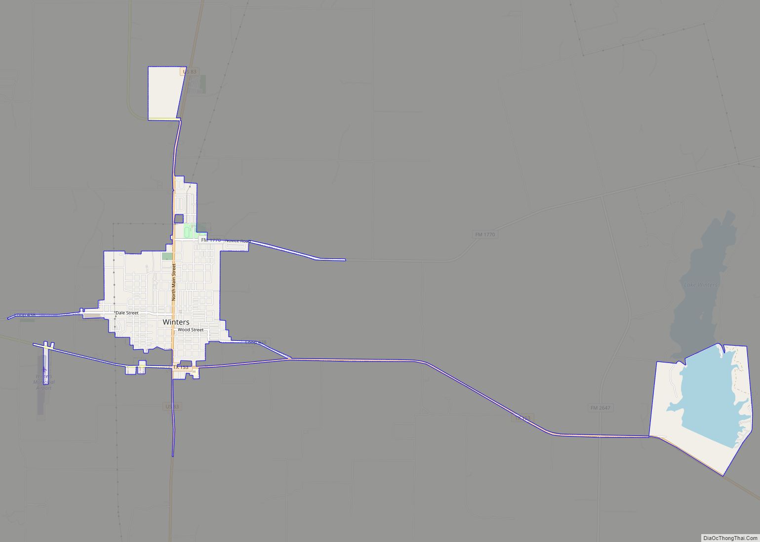
Winters is a city in Runnels County, Texas, United States. The population was 2,562 at the 2010 census.
| Name: | Winters city |
|---|---|
| LSAD Code: | 25 |
| LSAD Description: | city (suffix) |
| State: | Texas |
| County: | Runnels County |
| Elevation: | 1,841 ft (561 m) |
| Total Area: | 2.94 sq mi (7.62 km²) |
| Land Area: | 2.36 sq mi (6.10 km²) |
| Water Area: | 0.59 sq mi (1.52 km²) |
| Total Population: | 2,562 |
| Population Density: | 1,039.05/sq mi (401.21/km²) |
| ZIP code: | 79567 |
| Area code: | 325 |
| FIPS code: | 4879876 |
| GNISfeature ID: | 1350435 |
| Website: | www.winters-texas.us |
Online Interactive Map
Click on ![]() to view map in "full screen" mode.
to view map in "full screen" mode.
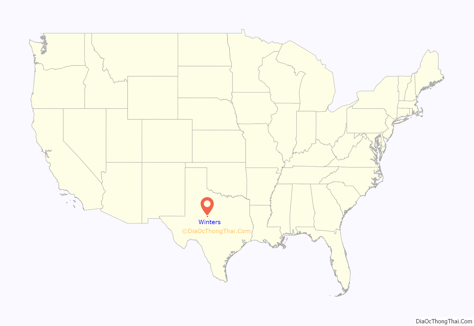
Winters location map. Where is Winters city?
History
In 1880, the families of C.N. Curry and C.E. Bell settled in an area known as Bluff Creek Valley, southwest of the present town. Local cowboy Jack Mackey suggested that the community be named in honor of John N. Winters, a rancher and land agent. A post office was established in 1891 and Mr. Winters donated land for a school soon after. Winters had roughly 163 residents in 1892. It became famous for a traveling brass band that was organized by Charles Tipton Grant in 1901. A newspaper began publishing in 1903. Winters incorporated in 1909, the same year that the Abilene and Southern Railway built an extension from Abilene to Winters. Land values in the city jumped to $7.00 per acre. A cottonseed mill became the first major industry in Winters when it opened in 1909. It remained in operation until 1939. In 1910, the population had risen to 1,247. A public library was constructed in 1964. By 1980, the population stood at 3,061. That number fell slightly to 2,905 in 1990 and 2,880 in 2000. Winters had a total of 140 businesses in 2000, up from 96 in 1970. Today, the city serves as a commercial and distribution center for a large agricultural and ranching area.
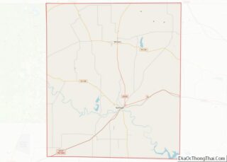
Winters Road Map
Winters city Satellite Map
Geography
Winters is located at 31°57′32″N 99°57′32″W / 31.95889°N 99.95889°W / 31.95889; -99.95889 (31.958786, –99.958810). It is situated at the junction of U.S. Highway 83 and Farm Roads 53 and 1770 in north-central Runnels County, about 41 miles (66 km) south of Abilene and 52 miles (84 km) northeast of San Angelo.
According to the United States Census Bureau, the city has a total area of 2.9 square miles (7.6 km), of which 2.4 square miles (6.1 km) are land and 0.58 square miles (1.5 km), or 19.97%, are covered by water.
Climate
The climate in this area is characterized by hot, humid summers and generally mild to cool winters. According to the Köppen climate classification system, Winters has a humid subtropical climate, Cfa on climate maps.
See also
Map of Texas State and its subdivision:- Anderson
- Andrews
- Angelina
- Aransas
- Archer
- Armstrong
- Atascosa
- Austin
- Bailey
- Bandera
- Bastrop
- Baylor
- Bee
- Bell
- Bexar
- Blanco
- Borden
- Bosque
- Bowie
- Brazoria
- Brazos
- Brewster
- Briscoe
- Brooks
- Brown
- Burleson
- Burnet
- Caldwell
- Calhoun
- Callahan
- Cameron
- Camp
- Carson
- Cass
- Castro
- Chambers
- Cherokee
- Childress
- Clay
- Cochran
- Coke
- Coleman
- Collin
- Collingsworth
- Colorado
- Comal
- Comanche
- Concho
- Cooke
- Coryell
- Cottle
- Crane
- Crockett
- Crosby
- Culberson
- Dallam
- Dallas
- Dawson
- Deaf Smith
- Delta
- Denton
- Dewitt
- Dickens
- Dimmit
- Donley
- Duval
- Eastland
- Ector
- Edwards
- El Paso
- Ellis
- Erath
- Falls
- Fannin
- Fayette
- Fisher
- Floyd
- Foard
- Fort Bend
- Franklin
- Freestone
- Frio
- Gaines
- Galveston
- Garza
- Gillespie
- Glasscock
- Goliad
- Gonzales
- Gray
- Grayson
- Gregg
- Grimes
- Guadalupe
- Hale
- Hall
- Hamilton
- Hansford
- Hardeman
- Hardin
- Harris
- Harrison
- Hartley
- Haskell
- Hays
- Hemphill
- Henderson
- Hidalgo
- Hill
- Hockley
- Hood
- Hopkins
- Houston
- Howard
- Hudspeth
- Hunt
- Hutchinson
- Irion
- Jack
- Jackson
- Jasper
- Jeff Davis
- Jefferson
- Jim Hogg
- Jim Wells
- Johnson
- Jones
- Karnes
- Kaufman
- Kendall
- Kenedy
- Kent
- Kerr
- Kimble
- King
- Kinney
- Kleberg
- Knox
- La Salle
- Lamar
- Lamb
- Lampasas
- Lavaca
- Lee
- Leon
- Liberty
- Limestone
- Lipscomb
- Live Oak
- Llano
- Loving
- Lubbock
- Lynn
- Madison
- Marion
- Martin
- Mason
- Matagorda
- Maverick
- McCulloch
- McLennan
- McMullen
- Medina
- Menard
- Midland
- Milam
- Mills
- Mitchell
- Montague
- Montgomery
- Moore
- Morris
- Motley
- Nacogdoches
- Navarro
- Newton
- Nolan
- Nueces
- Ochiltree
- Oldham
- Orange
- Palo Pinto
- Panola
- Parker
- Parmer
- Pecos
- Polk
- Potter
- Presidio
- Rains
- Randall
- Reagan
- Real
- Red River
- Reeves
- Refugio
- Roberts
- Robertson
- Rockwall
- Runnels
- Rusk
- Sabine
- San Augustine
- San Jacinto
- San Patricio
- San Saba
- Schleicher
- Scurry
- Shackelford
- Shelby
- Sherman
- Smith
- Somervell
- Starr
- Stephens
- Sterling
- Stonewall
- Sutton
- Swisher
- Tarrant
- Taylor
- Terrell
- Terry
- Throckmorton
- Titus
- Tom Green
- Travis
- Trinity
- Tyler
- Upshur
- Upton
- Uvalde
- Val Verde
- Van Zandt
- Victoria
- Walker
- Waller
- Ward
- Washington
- Webb
- Wharton
- Wheeler
- Wichita
- Wilbarger
- Willacy
- Williamson
- Wilson
- Winkler
- Wise
- Wood
- Yoakum
- Young
- Zapata
- Zavala
- Alabama
- Alaska
- Arizona
- Arkansas
- California
- Colorado
- Connecticut
- Delaware
- District of Columbia
- Florida
- Georgia
- Hawaii
- Idaho
- Illinois
- Indiana
- Iowa
- Kansas
- Kentucky
- Louisiana
- Maine
- Maryland
- Massachusetts
- Michigan
- Minnesota
- Mississippi
- Missouri
- Montana
- Nebraska
- Nevada
- New Hampshire
- New Jersey
- New Mexico
- New York
- North Carolina
- North Dakota
- Ohio
- Oklahoma
- Oregon
- Pennsylvania
- Rhode Island
- South Carolina
- South Dakota
- Tennessee
- Texas
- Utah
- Vermont
- Virginia
- Washington
- West Virginia
- Wisconsin
- Wyoming
