Edinburg (/ˈɛdɪnbɜːrɡ/ ED-in-burg) is a city in and the county seat of Hidalgo County, Texas, United States. Its population was 74,569 as of the 2010 census, and in 2019, its estimated population was 101,170, making it the second-largest city in Hidalgo County, and the third-largest city in the larger Rio Grande Valley region.
Edinburg is part of the McAllen–Edinburg–Mission and Reynosa–McAllen metropolitan areas. Edinburg is home to the main campus of University of Texas Rio Grande Valley.
| Name: | Edinburg city |
|---|---|
| LSAD Code: | 25 |
| LSAD Description: | city (suffix) |
| State: | Texas |
| County: | Hidalgo County |
| Elevation: | 95 ft (29 m) |
| Total Area: | 44.78 sq mi (115.98 km²) |
| Land Area: | 44.72 sq mi (115.83 km²) |
| Water Area: | 0.06 sq mi (0.15 km²) |
| Total Population: | 77,100 |
| Population Density: | 2,262.15/sq mi (873.43/km²) |
| ZIP code: | 78539-78541 |
| Area code: | 956 |
| FIPS code: | 4822660 |
| GNISfeature ID: | 1335095 |
| Website: | www.cityofedinburg.com |
Online Interactive Map
Click on ![]() to view map in "full screen" mode.
to view map in "full screen" mode.
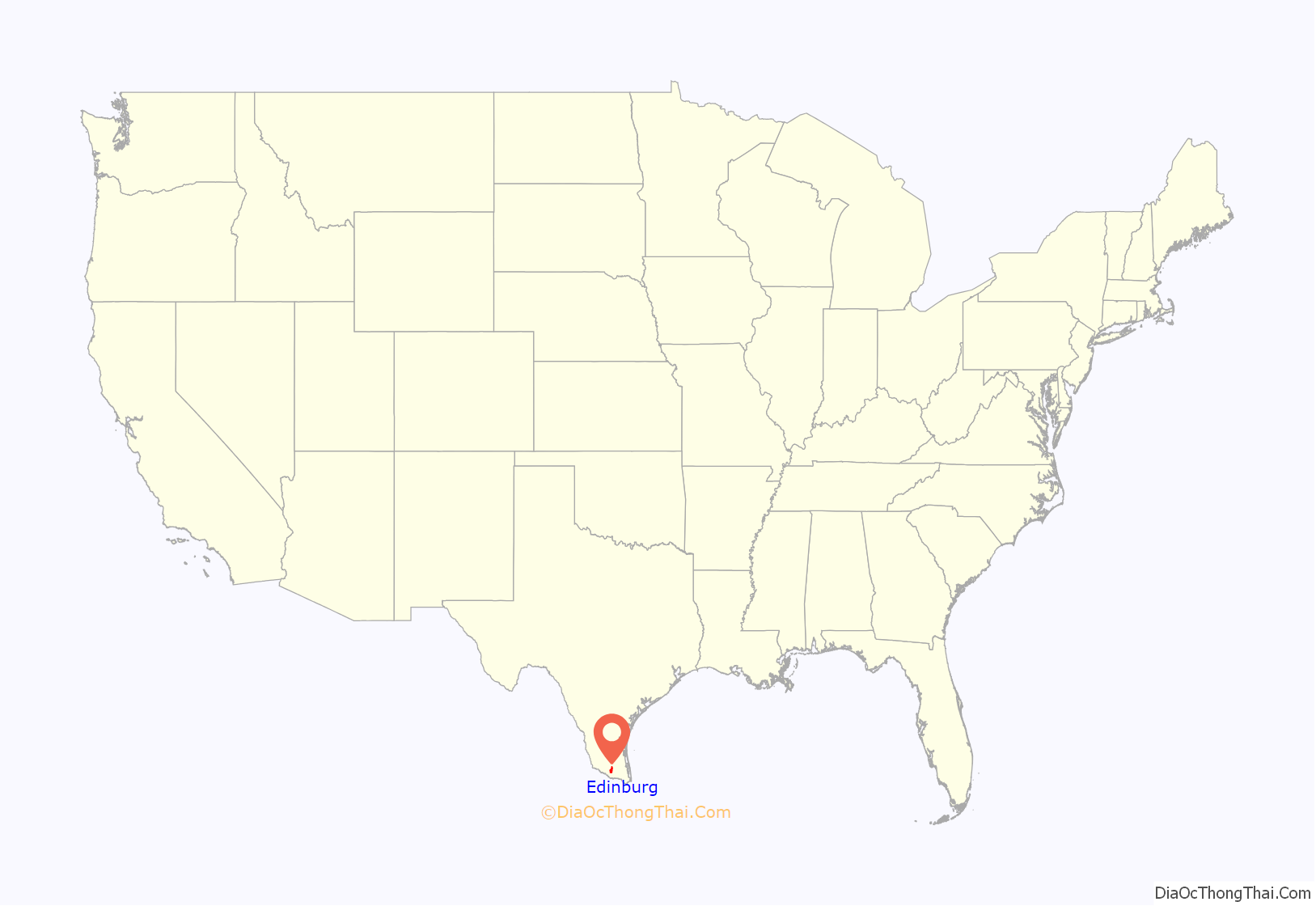
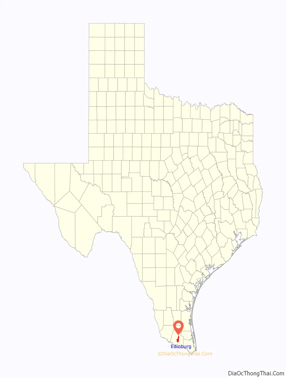
Edinburg location map. Where is Edinburg city?
History
In 1908, John Closner, William Briggs, Argyle McAllen, Plutarco de la Viña, and Dennis B. Chapin developed a new community at this site. The town square was located at the current crossroads of U.S. Highway 281 and State Highway 107. The town was named “Chapin” in honor of one of the developers. A local myth relates that Edinburg became the county seat of Hidalgo County in a dramatic, nighttime covert operation in which the county records were removed from the previous county seat. However, historical records show more practical reasons. The 1886 Hidalgo County Courthouse in the city of Hidalgo was under frequent danger of flooding because it stood just a few yards away from the banks of the Rio Grande. Additionally, the county was over 80 miles long at this time, and state law required that the courthouse be close to the geographic center of a county. A wood-frame courthouse was designed and built beside the Chapin courthouse square in 1908; construction on a grand courthouse within the square began in 1910 under the supervision of San Antonio builders and a partnership of San Antonio architects. When Dennis Chapin was involved in the shooting death of Oscar J. Rountree at the Dan Breen Saloon in San Antonio, the community changed its name to “Edinburg” to honor John Young, a prominent businessman who was born in Edinburgh, Scotland. The town was officially renamed in 1911 and incorporated in 1919.
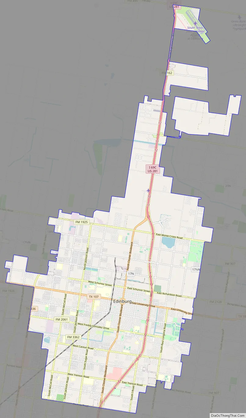
Edinburg Road Map
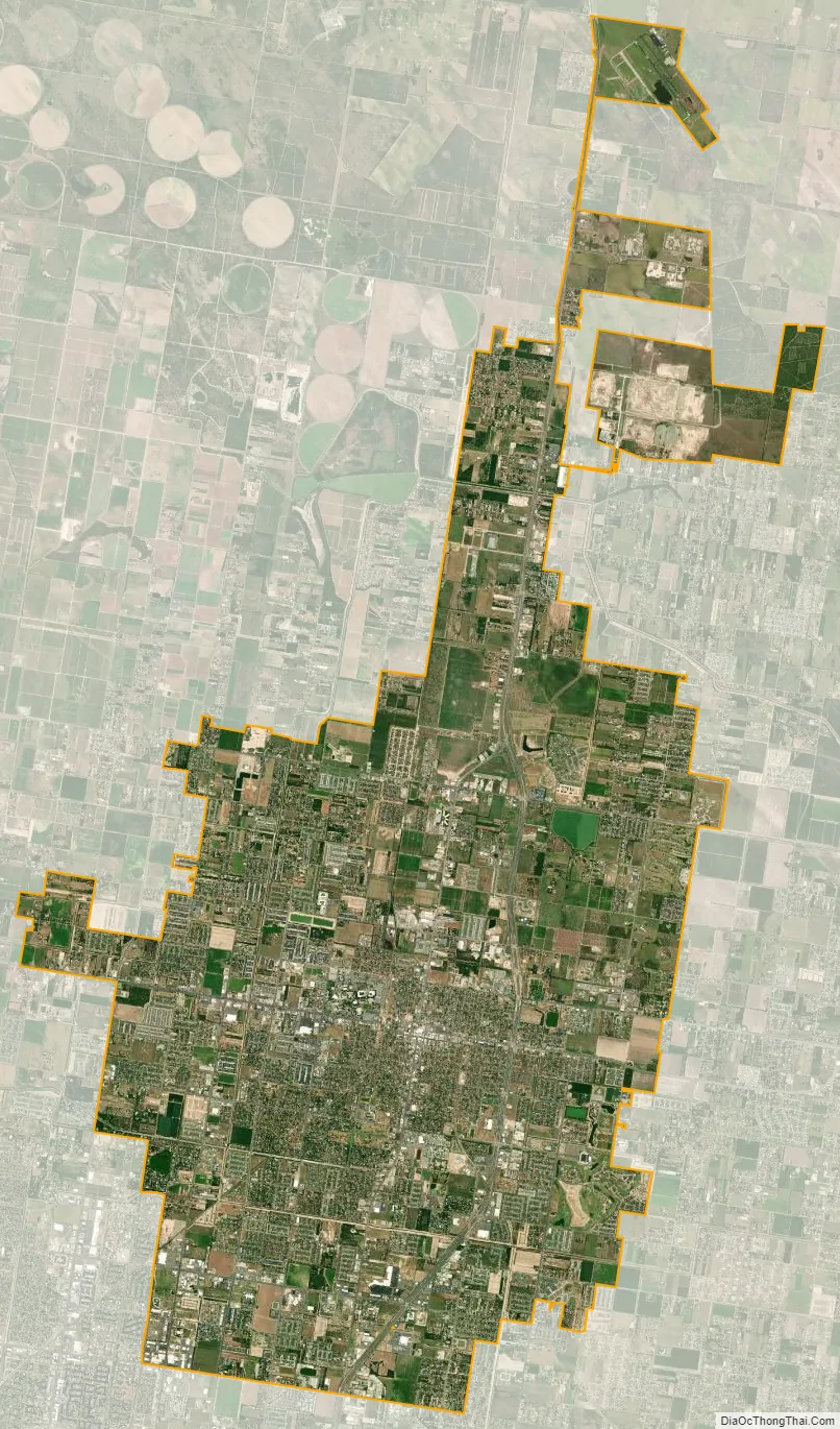
Edinburg city Satellite Map
Geography
Edinburg is located in south-central Hidalgo County at 26°18′15″N 98°9′50″W / 26.30417°N 98.16389°W / 26.30417; -98.16389 (26.304225, –98.163751). It is bordered to the south by Pharr and to the southwest by McAllen, the largest city in the county. U.S. Route 281 (Interstate 69C) runs through the east side of Edinburg. US 281 leads north 103 miles (166 km) to Alice and 229 miles (369 km) to San Antonio. Downtown McAllen is 10 miles (16 km) to the south and west.
According to the United States Census Bureau, Edinburg has a total area of 37.7 square miles (97.6 km), of which 0.1 square miles (0.2 km), or 0.16%, is covered by water.
See also
Map of Texas State and its subdivision:- Anderson
- Andrews
- Angelina
- Aransas
- Archer
- Armstrong
- Atascosa
- Austin
- Bailey
- Bandera
- Bastrop
- Baylor
- Bee
- Bell
- Bexar
- Blanco
- Borden
- Bosque
- Bowie
- Brazoria
- Brazos
- Brewster
- Briscoe
- Brooks
- Brown
- Burleson
- Burnet
- Caldwell
- Calhoun
- Callahan
- Cameron
- Camp
- Carson
- Cass
- Castro
- Chambers
- Cherokee
- Childress
- Clay
- Cochran
- Coke
- Coleman
- Collin
- Collingsworth
- Colorado
- Comal
- Comanche
- Concho
- Cooke
- Coryell
- Cottle
- Crane
- Crockett
- Crosby
- Culberson
- Dallam
- Dallas
- Dawson
- Deaf Smith
- Delta
- Denton
- Dewitt
- Dickens
- Dimmit
- Donley
- Duval
- Eastland
- Ector
- Edwards
- El Paso
- Ellis
- Erath
- Falls
- Fannin
- Fayette
- Fisher
- Floyd
- Foard
- Fort Bend
- Franklin
- Freestone
- Frio
- Gaines
- Galveston
- Garza
- Gillespie
- Glasscock
- Goliad
- Gonzales
- Gray
- Grayson
- Gregg
- Grimes
- Guadalupe
- Hale
- Hall
- Hamilton
- Hansford
- Hardeman
- Hardin
- Harris
- Harrison
- Hartley
- Haskell
- Hays
- Hemphill
- Henderson
- Hidalgo
- Hill
- Hockley
- Hood
- Hopkins
- Houston
- Howard
- Hudspeth
- Hunt
- Hutchinson
- Irion
- Jack
- Jackson
- Jasper
- Jeff Davis
- Jefferson
- Jim Hogg
- Jim Wells
- Johnson
- Jones
- Karnes
- Kaufman
- Kendall
- Kenedy
- Kent
- Kerr
- Kimble
- King
- Kinney
- Kleberg
- Knox
- La Salle
- Lamar
- Lamb
- Lampasas
- Lavaca
- Lee
- Leon
- Liberty
- Limestone
- Lipscomb
- Live Oak
- Llano
- Loving
- Lubbock
- Lynn
- Madison
- Marion
- Martin
- Mason
- Matagorda
- Maverick
- McCulloch
- McLennan
- McMullen
- Medina
- Menard
- Midland
- Milam
- Mills
- Mitchell
- Montague
- Montgomery
- Moore
- Morris
- Motley
- Nacogdoches
- Navarro
- Newton
- Nolan
- Nueces
- Ochiltree
- Oldham
- Orange
- Palo Pinto
- Panola
- Parker
- Parmer
- Pecos
- Polk
- Potter
- Presidio
- Rains
- Randall
- Reagan
- Real
- Red River
- Reeves
- Refugio
- Roberts
- Robertson
- Rockwall
- Runnels
- Rusk
- Sabine
- San Augustine
- San Jacinto
- San Patricio
- San Saba
- Schleicher
- Scurry
- Shackelford
- Shelby
- Sherman
- Smith
- Somervell
- Starr
- Stephens
- Sterling
- Stonewall
- Sutton
- Swisher
- Tarrant
- Taylor
- Terrell
- Terry
- Throckmorton
- Titus
- Tom Green
- Travis
- Trinity
- Tyler
- Upshur
- Upton
- Uvalde
- Val Verde
- Van Zandt
- Victoria
- Walker
- Waller
- Ward
- Washington
- Webb
- Wharton
- Wheeler
- Wichita
- Wilbarger
- Willacy
- Williamson
- Wilson
- Winkler
- Wise
- Wood
- Yoakum
- Young
- Zapata
- Zavala
- Alabama
- Alaska
- Arizona
- Arkansas
- California
- Colorado
- Connecticut
- Delaware
- District of Columbia
- Florida
- Georgia
- Hawaii
- Idaho
- Illinois
- Indiana
- Iowa
- Kansas
- Kentucky
- Louisiana
- Maine
- Maryland
- Massachusetts
- Michigan
- Minnesota
- Mississippi
- Missouri
- Montana
- Nebraska
- Nevada
- New Hampshire
- New Jersey
- New Mexico
- New York
- North Carolina
- North Dakota
- Ohio
- Oklahoma
- Oregon
- Pennsylvania
- Rhode Island
- South Carolina
- South Dakota
- Tennessee
- Texas
- Utah
- Vermont
- Virginia
- Washington
- West Virginia
- Wisconsin
- Wyoming


