Pharr is a city in Hidalgo County, Texas, United States. As of the 2010 census, the city population was 70,400, and in 2019, the estimated population was 79,112. Pharr is connected by bridge to the Mexican city of Reynosa, Tamaulipas. Pharr is part of the McAllen–Edinburg–Mission and Reynosa–McAllen metropolitan areas.
| Name: | Pharr city |
|---|---|
| LSAD Code: | 25 |
| LSAD Description: | city (suffix) |
| State: | Texas |
| County: | Hidalgo County |
| Incorporated: | February 22, 1916 |
| Elevation: | 112 ft (34 m) |
| Total Area: | 23.65 sq mi (61.26 km²) |
| Land Area: | 23.63 sq mi (61.19 km²) |
| Water Area: | 0.03 sq mi (0.07 km²) |
| Total Population: | 70,400 |
| Population Density: | 3,348.51/sq mi (1,292.85/km²) |
| ZIP code: | 78577 |
| Area code: | 956 |
| FIPS code: | 4857200 |
| GNISfeature ID: | 1343930 |
| Website: | www.pharr-tx.gov |
Online Interactive Map
Click on ![]() to view map in "full screen" mode.
to view map in "full screen" mode.
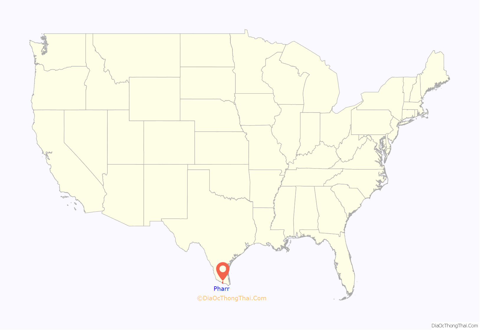
Pharr location map. Where is Pharr city?
History
The community was named after sugar planter Henry Newton Pharr. For a number of years centering around early 1900, Henry N. Pharr was director of the State National Bank of New Iberia, Louisiana, and was a former president of the Louisiana–Rio Grande Sugar Company and the Louisiana–Rio Grande Canal Company, which at one time owned 8,000 acres (32.4 km) and which, in 1910, built the town of Pharr on this land. Pharr was the Republican nominee for Louisiana governor in 1908, as his father John Newton Pharr had been in 1896.
Pharr has grown rapidly since the late 20th century, from a population of 32,921 in 1990 to an estimated 77,320 in 2016 and 79,112 in 2019.
In 1987, Pharr annexed Las Milpas.
In 2006, Pharr received “The All-America City” award.
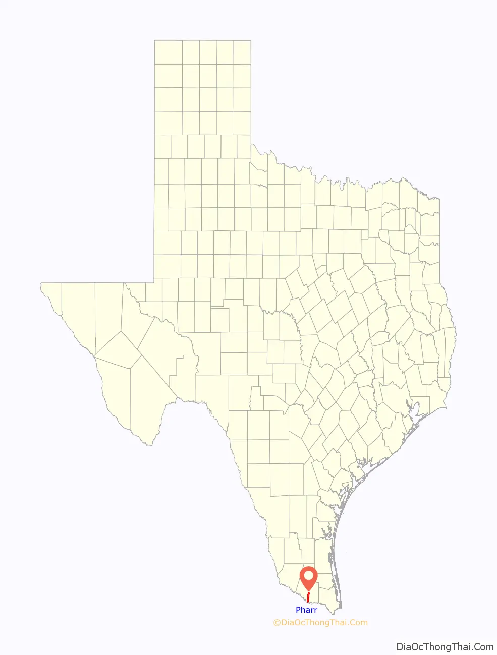
Pharr Road Map
Pharr city Satellite Map

Geography
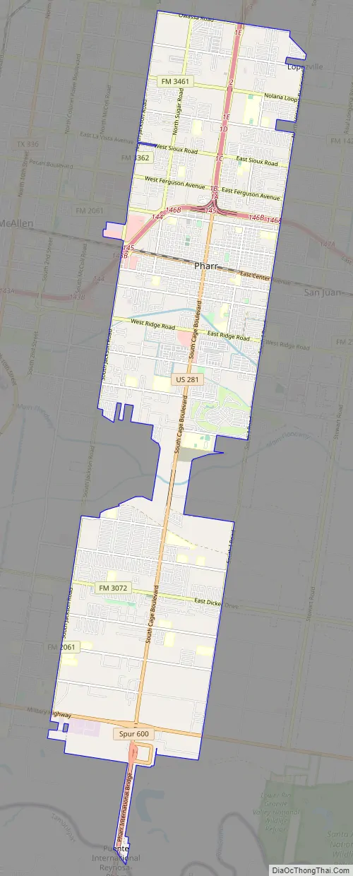
Pharr is located in southern Hidalgo County at 26°12′23″N 98°11′7″W / 26.20639°N 98.18528°W / 26.20639; -98.18528 (26.206334, –98.185174). It is bordered to the west by the city of McAllen, to the north by Edinburg, the county seat, to the east by San Juan, and to the southwest by Hidalgo. The Pharr city limits extend south in a narrow band to the Rio Grande and the Pharr–Reynosa International Bridge into Mexico.
According to the United States Census Bureau, Pharr has a total area of 23.4 square miles (60.7 km), of which 0.03 square miles (0.07 km), or 0.12%, is covered by water.
Communities:
- Las Milpas (annexed in 1987)
See also
Map of Texas State and its subdivision:- Anderson
- Andrews
- Angelina
- Aransas
- Archer
- Armstrong
- Atascosa
- Austin
- Bailey
- Bandera
- Bastrop
- Baylor
- Bee
- Bell
- Bexar
- Blanco
- Borden
- Bosque
- Bowie
- Brazoria
- Brazos
- Brewster
- Briscoe
- Brooks
- Brown
- Burleson
- Burnet
- Caldwell
- Calhoun
- Callahan
- Cameron
- Camp
- Carson
- Cass
- Castro
- Chambers
- Cherokee
- Childress
- Clay
- Cochran
- Coke
- Coleman
- Collin
- Collingsworth
- Colorado
- Comal
- Comanche
- Concho
- Cooke
- Coryell
- Cottle
- Crane
- Crockett
- Crosby
- Culberson
- Dallam
- Dallas
- Dawson
- Deaf Smith
- Delta
- Denton
- Dewitt
- Dickens
- Dimmit
- Donley
- Duval
- Eastland
- Ector
- Edwards
- El Paso
- Ellis
- Erath
- Falls
- Fannin
- Fayette
- Fisher
- Floyd
- Foard
- Fort Bend
- Franklin
- Freestone
- Frio
- Gaines
- Galveston
- Garza
- Gillespie
- Glasscock
- Goliad
- Gonzales
- Gray
- Grayson
- Gregg
- Grimes
- Guadalupe
- Hale
- Hall
- Hamilton
- Hansford
- Hardeman
- Hardin
- Harris
- Harrison
- Hartley
- Haskell
- Hays
- Hemphill
- Henderson
- Hidalgo
- Hill
- Hockley
- Hood
- Hopkins
- Houston
- Howard
- Hudspeth
- Hunt
- Hutchinson
- Irion
- Jack
- Jackson
- Jasper
- Jeff Davis
- Jefferson
- Jim Hogg
- Jim Wells
- Johnson
- Jones
- Karnes
- Kaufman
- Kendall
- Kenedy
- Kent
- Kerr
- Kimble
- King
- Kinney
- Kleberg
- Knox
- La Salle
- Lamar
- Lamb
- Lampasas
- Lavaca
- Lee
- Leon
- Liberty
- Limestone
- Lipscomb
- Live Oak
- Llano
- Loving
- Lubbock
- Lynn
- Madison
- Marion
- Martin
- Mason
- Matagorda
- Maverick
- McCulloch
- McLennan
- McMullen
- Medina
- Menard
- Midland
- Milam
- Mills
- Mitchell
- Montague
- Montgomery
- Moore
- Morris
- Motley
- Nacogdoches
- Navarro
- Newton
- Nolan
- Nueces
- Ochiltree
- Oldham
- Orange
- Palo Pinto
- Panola
- Parker
- Parmer
- Pecos
- Polk
- Potter
- Presidio
- Rains
- Randall
- Reagan
- Real
- Red River
- Reeves
- Refugio
- Roberts
- Robertson
- Rockwall
- Runnels
- Rusk
- Sabine
- San Augustine
- San Jacinto
- San Patricio
- San Saba
- Schleicher
- Scurry
- Shackelford
- Shelby
- Sherman
- Smith
- Somervell
- Starr
- Stephens
- Sterling
- Stonewall
- Sutton
- Swisher
- Tarrant
- Taylor
- Terrell
- Terry
- Throckmorton
- Titus
- Tom Green
- Travis
- Trinity
- Tyler
- Upshur
- Upton
- Uvalde
- Val Verde
- Van Zandt
- Victoria
- Walker
- Waller
- Ward
- Washington
- Webb
- Wharton
- Wheeler
- Wichita
- Wilbarger
- Willacy
- Williamson
- Wilson
- Winkler
- Wise
- Wood
- Yoakum
- Young
- Zapata
- Zavala
- Alabama
- Alaska
- Arizona
- Arkansas
- California
- Colorado
- Connecticut
- Delaware
- District of Columbia
- Florida
- Georgia
- Hawaii
- Idaho
- Illinois
- Indiana
- Iowa
- Kansas
- Kentucky
- Louisiana
- Maine
- Maryland
- Massachusetts
- Michigan
- Minnesota
- Mississippi
- Missouri
- Montana
- Nebraska
- Nevada
- New Hampshire
- New Jersey
- New Mexico
- New York
- North Carolina
- North Dakota
- Ohio
- Oklahoma
- Oregon
- Pennsylvania
- Rhode Island
- South Carolina
- South Dakota
- Tennessee
- Texas
- Utah
- Vermont
- Virginia
- Washington
- West Virginia
- Wisconsin
- Wyoming


