Elkhart is a town the U.S. state of Texas, in Anderson County. Named for a friendly Native American who assisted the early settlers of the area, Elkhart’s population was 1,287 at the 2020 U.S. census.
| Name: | Elkhart town |
|---|---|
| LSAD Code: | 43 |
| LSAD Description: | town (suffix) |
| State: | Texas |
| County: | Anderson County |
| Elevation: | 384 ft (117 m) |
| Total Area: | 1.54 sq mi (3.99 km²) |
| Land Area: | 1.54 sq mi (3.99 km²) |
| Water Area: | 0.00 sq mi (0.00 km²) |
| Total Population: | 1,287 |
| Population Density: | 843.4/sq mi (325.65/km²) |
| ZIP code: | 75839 |
| Area code: | 903 |
| FIPS code: | 4823140 |
| GNISfeature ID: | 1373620 |
| Website: | www.cityofelkharttx.gov |
Online Interactive Map
Click on ![]() to view map in "full screen" mode.
to view map in "full screen" mode.
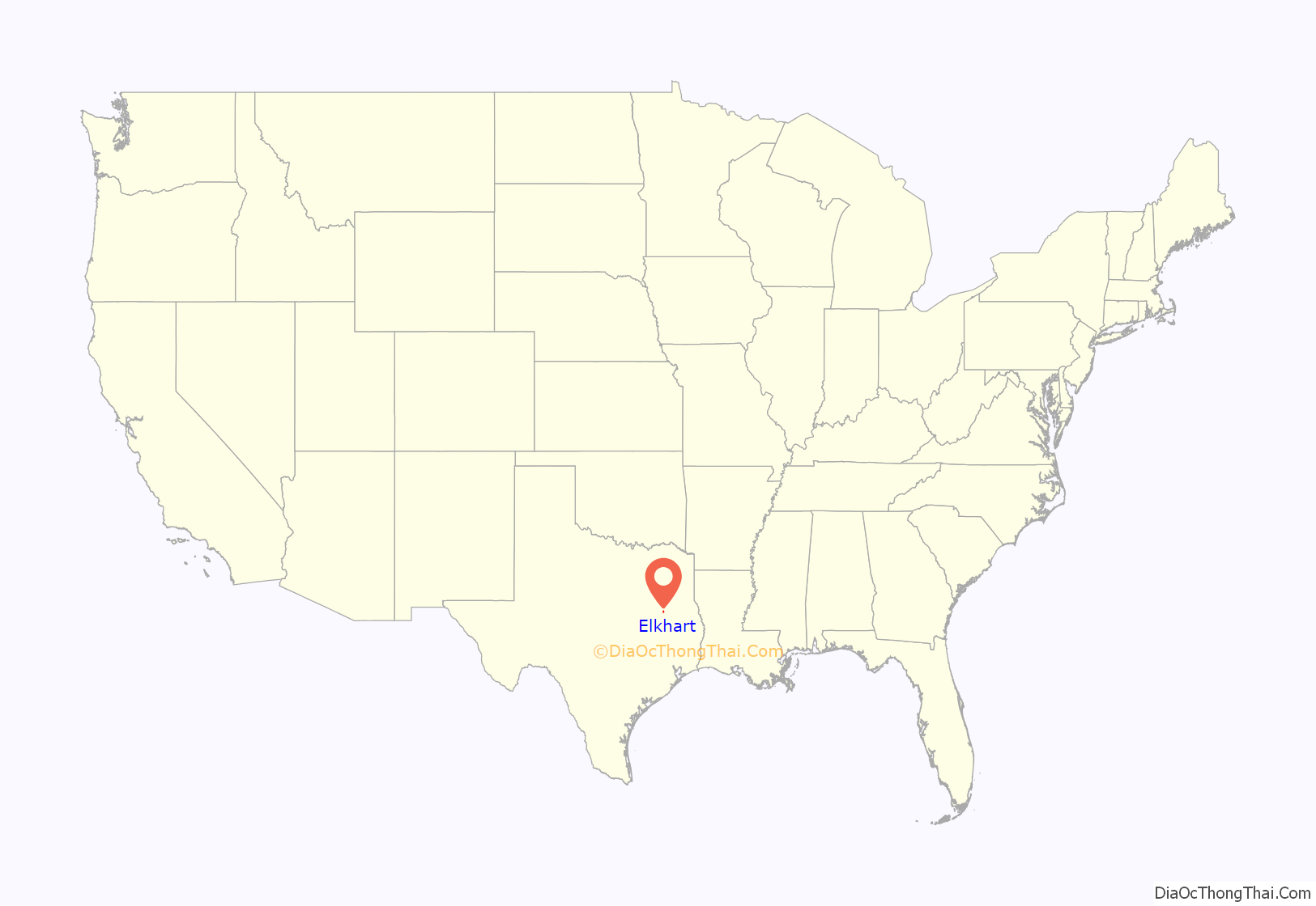
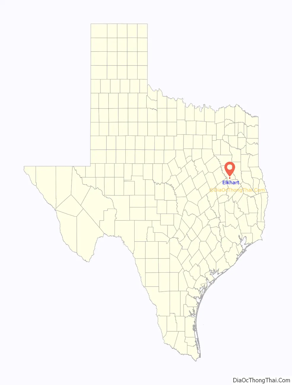
Elkhart location map. Where is Elkhart town?
History
The history of Elkhart starts with Daniel Parker’s Pilgrim Predestinarian Baptist Church. It was formed in Crawford County, Illinois in 1833, because the government of Mexico would not allow the Baptist church’s organization within their borders. Daniel, and his father John Parker, led their congregation to Texas, settling in Austin’s Colony in 1834. While John Parker’s group settled and established Fort Parker (Limestone County), Daniel’s group settled first in the territory that became Grimes County and later moved to the area around Fort Houston (Anderson County). Daniel Parker spent his time traveling and preaching in the homes of his scattered congregation. In 1836, the threats of General Santa Anna’s troops in April 1836, and the attack of Fort Parker in May 1836 sent the remnant of John Parker’s group to seek protection near Fort Houston. The Pilgrim Church resumed meetings in February 1837, and resolved in 1839 to build a church house, selecting 2.5 acres “on the north side of the bluff of the Harrison Fork of Bayou Blue near Daniel Parker’s house”. They constructed a log house and cleared a burial ground where Daniel Parker was buried in 1844. The church, now called Old Pilgrim Church, which has been replaced several times since the first log house, was the center of the community called Parker’s Settlement, or just Pilgrim.
About the same time Parker’s followers were getting established, the first Methodist sermon was given by Rev. William Stevenson, whose members built their church about 1840, one mile west of Pilgrim Baptist Church.
The community was granted a post office in March 1850, named Elkheart (later changed to Elkhart) which was located 4 miles south of Elkhart’s current position, and named for a Native who had helped the early settlers.
As the Houston to Palestine rail was being finished in 1872, Elkhart shifted north to the train depot, and thus began to be considered the “railroad village” associated with the Parker settlement.
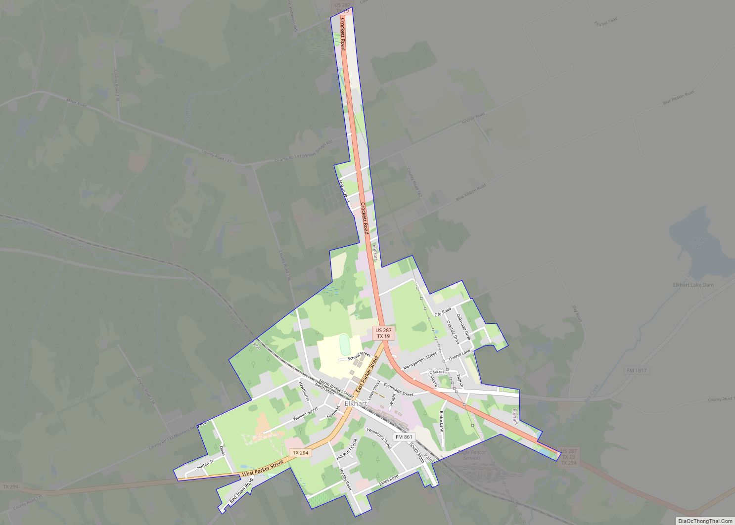
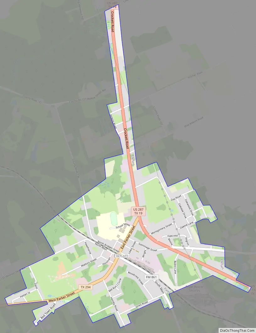
Elkhart Road Map
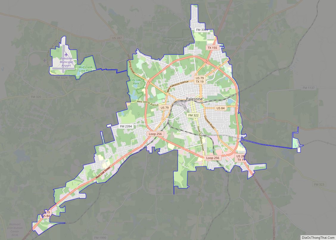
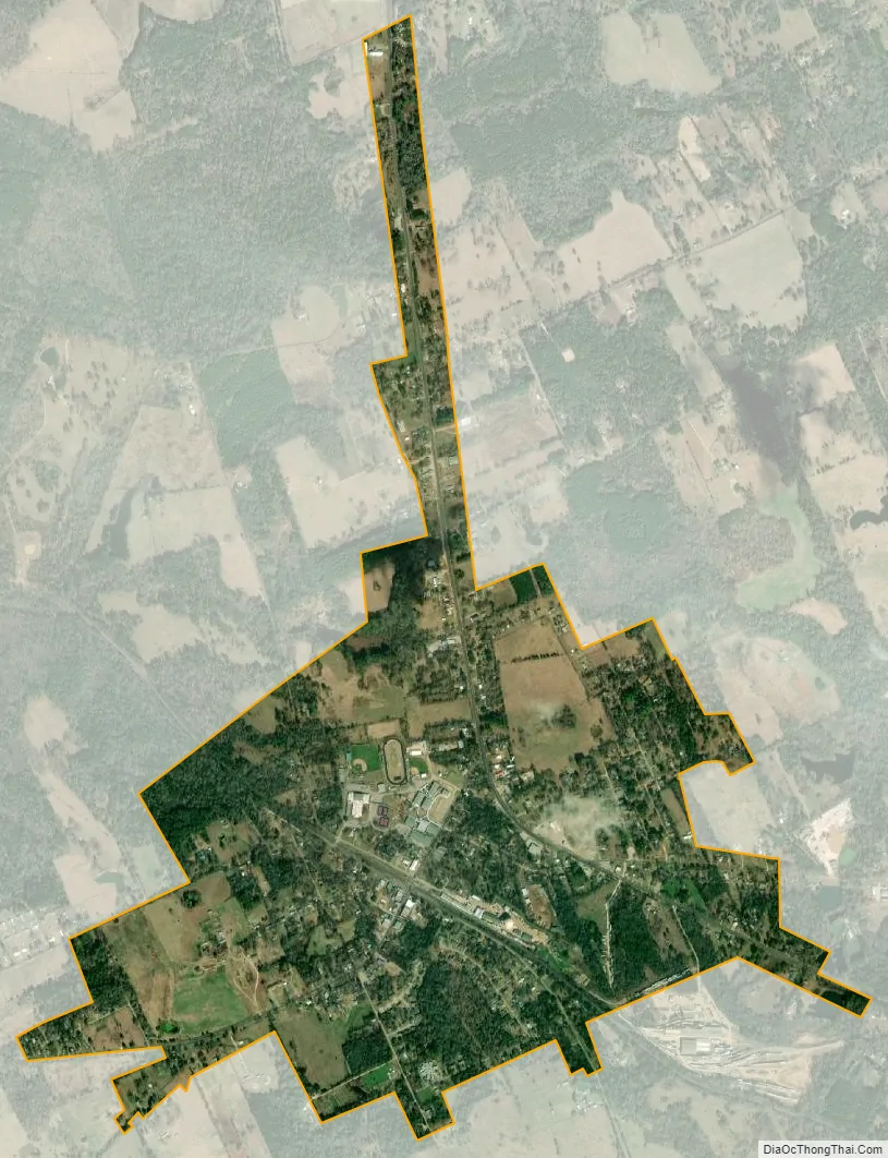
Elkhart city Satellite Map
Geography
Elkhart is located in southern Anderson County at 31°37′42″N 95°34′43″W / 31.62833°N 95.57861°W / 31.62833; -95.57861 (31.628429, –95.578588). U.S. Route 287 passes through the town, leading north 10 miles (16 km) to Palestine, the county seat, 12 miles (19 km) south to Grapeland, and 25 miles (40 km) south to Crockett, the seat of Houston County. According to the United States Census Bureau, the town has a total area of 1.5 square miles (3.9 km), all of it land.
See also
Map of Texas State and its subdivision:- Anderson
- Andrews
- Angelina
- Aransas
- Archer
- Armstrong
- Atascosa
- Austin
- Bailey
- Bandera
- Bastrop
- Baylor
- Bee
- Bell
- Bexar
- Blanco
- Borden
- Bosque
- Bowie
- Brazoria
- Brazos
- Brewster
- Briscoe
- Brooks
- Brown
- Burleson
- Burnet
- Caldwell
- Calhoun
- Callahan
- Cameron
- Camp
- Carson
- Cass
- Castro
- Chambers
- Cherokee
- Childress
- Clay
- Cochran
- Coke
- Coleman
- Collin
- Collingsworth
- Colorado
- Comal
- Comanche
- Concho
- Cooke
- Coryell
- Cottle
- Crane
- Crockett
- Crosby
- Culberson
- Dallam
- Dallas
- Dawson
- Deaf Smith
- Delta
- Denton
- Dewitt
- Dickens
- Dimmit
- Donley
- Duval
- Eastland
- Ector
- Edwards
- El Paso
- Ellis
- Erath
- Falls
- Fannin
- Fayette
- Fisher
- Floyd
- Foard
- Fort Bend
- Franklin
- Freestone
- Frio
- Gaines
- Galveston
- Garza
- Gillespie
- Glasscock
- Goliad
- Gonzales
- Gray
- Grayson
- Gregg
- Grimes
- Guadalupe
- Hale
- Hall
- Hamilton
- Hansford
- Hardeman
- Hardin
- Harris
- Harrison
- Hartley
- Haskell
- Hays
- Hemphill
- Henderson
- Hidalgo
- Hill
- Hockley
- Hood
- Hopkins
- Houston
- Howard
- Hudspeth
- Hunt
- Hutchinson
- Irion
- Jack
- Jackson
- Jasper
- Jeff Davis
- Jefferson
- Jim Hogg
- Jim Wells
- Johnson
- Jones
- Karnes
- Kaufman
- Kendall
- Kenedy
- Kent
- Kerr
- Kimble
- King
- Kinney
- Kleberg
- Knox
- La Salle
- Lamar
- Lamb
- Lampasas
- Lavaca
- Lee
- Leon
- Liberty
- Limestone
- Lipscomb
- Live Oak
- Llano
- Loving
- Lubbock
- Lynn
- Madison
- Marion
- Martin
- Mason
- Matagorda
- Maverick
- McCulloch
- McLennan
- McMullen
- Medina
- Menard
- Midland
- Milam
- Mills
- Mitchell
- Montague
- Montgomery
- Moore
- Morris
- Motley
- Nacogdoches
- Navarro
- Newton
- Nolan
- Nueces
- Ochiltree
- Oldham
- Orange
- Palo Pinto
- Panola
- Parker
- Parmer
- Pecos
- Polk
- Potter
- Presidio
- Rains
- Randall
- Reagan
- Real
- Red River
- Reeves
- Refugio
- Roberts
- Robertson
- Rockwall
- Runnels
- Rusk
- Sabine
- San Augustine
- San Jacinto
- San Patricio
- San Saba
- Schleicher
- Scurry
- Shackelford
- Shelby
- Sherman
- Smith
- Somervell
- Starr
- Stephens
- Sterling
- Stonewall
- Sutton
- Swisher
- Tarrant
- Taylor
- Terrell
- Terry
- Throckmorton
- Titus
- Tom Green
- Travis
- Trinity
- Tyler
- Upshur
- Upton
- Uvalde
- Val Verde
- Van Zandt
- Victoria
- Walker
- Waller
- Ward
- Washington
- Webb
- Wharton
- Wheeler
- Wichita
- Wilbarger
- Willacy
- Williamson
- Wilson
- Winkler
- Wise
- Wood
- Yoakum
- Young
- Zapata
- Zavala
- Alabama
- Alaska
- Arizona
- Arkansas
- California
- Colorado
- Connecticut
- Delaware
- District of Columbia
- Florida
- Georgia
- Hawaii
- Idaho
- Illinois
- Indiana
- Iowa
- Kansas
- Kentucky
- Louisiana
- Maine
- Maryland
- Massachusetts
- Michigan
- Minnesota
- Mississippi
- Missouri
- Montana
- Nebraska
- Nevada
- New Hampshire
- New Jersey
- New Mexico
- New York
- North Carolina
- North Dakota
- Ohio
- Oklahoma
- Oregon
- Pennsylvania
- Rhode Island
- South Carolina
- South Dakota
- Tennessee
- Texas
- Utah
- Vermont
- Virginia
- Washington
- West Virginia
- Wisconsin
- Wyoming