Ferris is a city in Dallas and Ellis counties in the U.S. state of Texas. It is 20 miles (32 km) south of downtown Dallas. The population was 2,788 in 2020.
| Name: | Ferris city |
|---|---|
| LSAD Code: | 25 |
| LSAD Description: | city (suffix) |
| State: | Texas |
| County: | Dallas County, Ellis County |
| Elevation: | 466 ft (142 m) |
| Total Area: | 4.78 sq mi (12.37 km²) |
| Land Area: | 4.63 sq mi (12.01 km²) |
| Water Area: | 0.14 sq mi (0.37 km²) |
| Total Population: | 2,788 |
| Population Density: | 580/sq mi (230/km²) |
| ZIP code: | 75125 |
| Area code: | 972 |
| FIPS code: | 4825752 |
| GNISfeature ID: | 1335757 |
| Website: | www.ferristexas.gov |
Online Interactive Map
Click on ![]() to view map in "full screen" mode.
to view map in "full screen" mode.
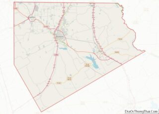
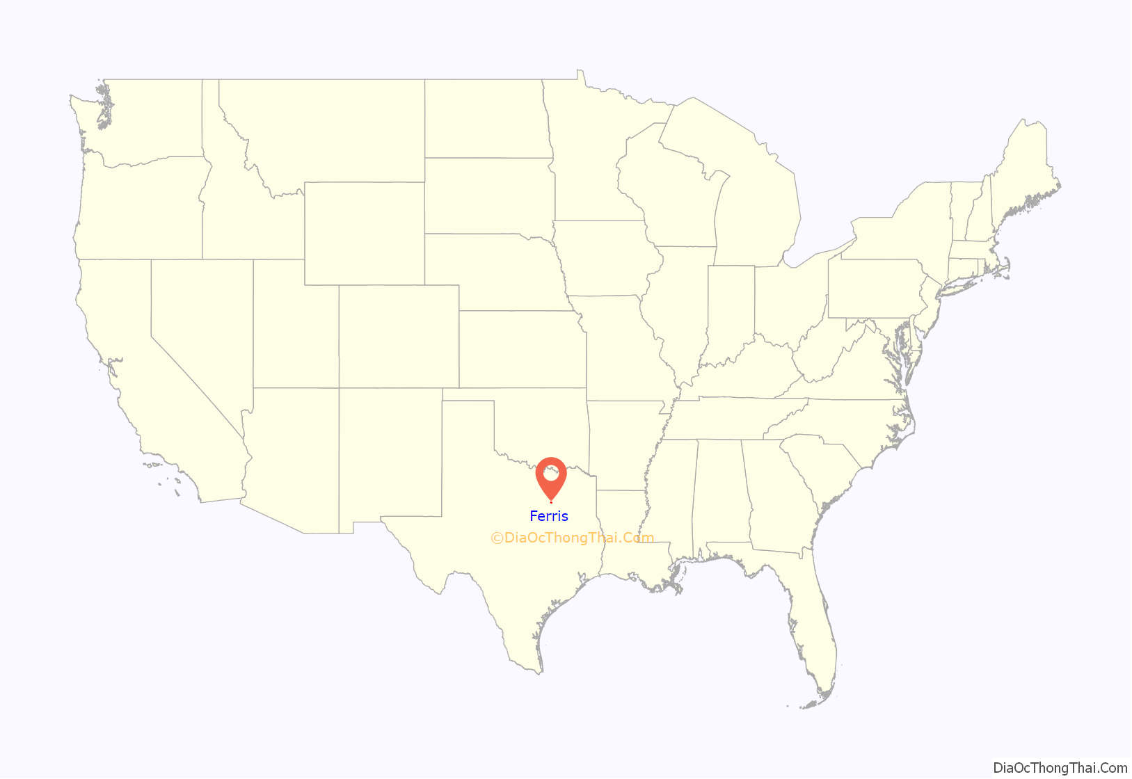
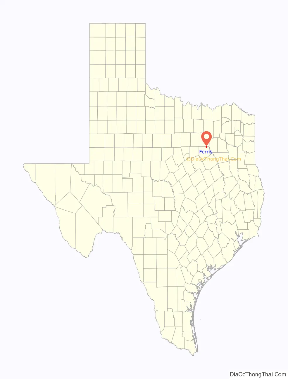
Ferris location map. Where is Ferris city?
History
Settlement of the area began in the early 1870s. On September 28, 1874, a local family deeded approximately 100 acres (0.40 km) of land to four trustees for the establishment of a town and railway station. Judge Justus Wesley Ferris of Waxahachie handled the transaction, and the community was named for him. Within ten years, Ferris had a population of 300 with a post office, gristmills, cotton gins, four churches, and a school.
On September 18, 1882, an election was held to incorporate the community. A total of 47 votes were cast, 34 (72%) in favor of incorporation and 13 (28%) against. The results were verified by the Ellis County Judge on September 30, and Ferris officially became a town. By 1900, the town was home to 904 residents. In 1910, that number had increased to 1,233 residents.
Fifty businesses, including six brick plants that benefitted from the area’s mineral rich soil, were operating in 1914. The population rose to 1,586 by 1925 but declined during the 1930s and 1940s as a result of the Great Depression and World War II.
Ferris thrived during the early post-war years. Four brick plants operated during the 1950s, and the community was known locally as the “Brick Capital of the Nation”. Ferris also has a second nickname – “The City that Bricked the World” – which is still commonly used to date. In 1952, the population had risen to 1,734 and 1,807 by 1964. The Ferris Annual Brick Festival is held every year at the end of April.
The expansion of the Dallas–Fort Worth Metropolitan Area and the construction of Interstate 45 aided the growth of Ferris in the latter half of the twentieth century. Although the number of businesses decreased during the 1980s, the population continued to grow. It stood at 2,212 in 1990, 2,175 in 2000, and 2,436 in 2010. In 1994, Ferris won the 3-A State Championship in men’s basketball.
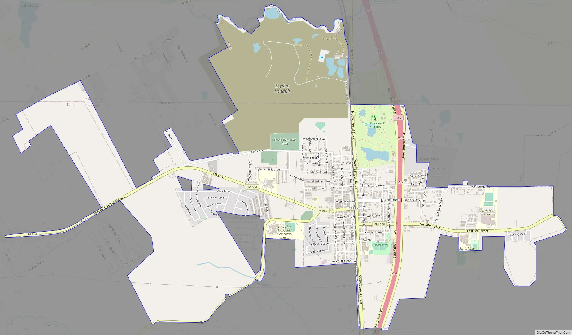
Ferris Road Map
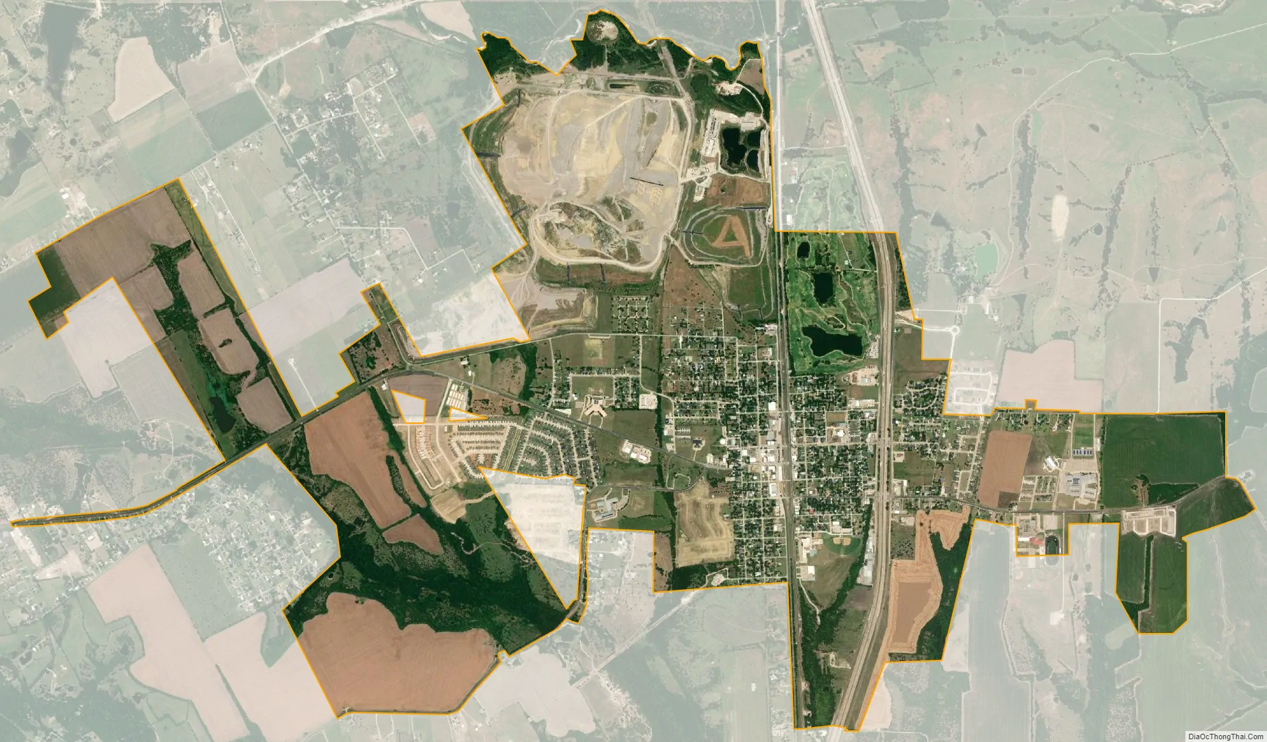
Ferris city Satellite Map
Geography
Ferris is located at 32°32′7″N 96°40′1″W / 32.53528°N 96.66694°W / 32.53528; -96.66694 (32.535144, −96.667038).
According to the United States Census Bureau, the city has a total area of 4.8 square miles (12.4 km), of which 4.6 square miles (12.0 km) is land and 0.15 square miles (0.4 km) is water. Most of the city lies within Ellis County, with only a small portion in Dallas County.
Climate
According to the Köppen Climate Classification system, Ferris has a humid subtropical climate, abbreviated “Cfa” on climate maps. The hottest temperature recorded in Ferris was 112 °F (44.4 °C) on July 18/20, 2022, while the coldest temperature recorded was −1 °F (−18.3 °C) on December 22, 1989 and February 15–16, 2021.
See also
Map of Texas State and its subdivision:- Anderson
- Andrews
- Angelina
- Aransas
- Archer
- Armstrong
- Atascosa
- Austin
- Bailey
- Bandera
- Bastrop
- Baylor
- Bee
- Bell
- Bexar
- Blanco
- Borden
- Bosque
- Bowie
- Brazoria
- Brazos
- Brewster
- Briscoe
- Brooks
- Brown
- Burleson
- Burnet
- Caldwell
- Calhoun
- Callahan
- Cameron
- Camp
- Carson
- Cass
- Castro
- Chambers
- Cherokee
- Childress
- Clay
- Cochran
- Coke
- Coleman
- Collin
- Collingsworth
- Colorado
- Comal
- Comanche
- Concho
- Cooke
- Coryell
- Cottle
- Crane
- Crockett
- Crosby
- Culberson
- Dallam
- Dallas
- Dawson
- Deaf Smith
- Delta
- Denton
- Dewitt
- Dickens
- Dimmit
- Donley
- Duval
- Eastland
- Ector
- Edwards
- El Paso
- Ellis
- Erath
- Falls
- Fannin
- Fayette
- Fisher
- Floyd
- Foard
- Fort Bend
- Franklin
- Freestone
- Frio
- Gaines
- Galveston
- Garza
- Gillespie
- Glasscock
- Goliad
- Gonzales
- Gray
- Grayson
- Gregg
- Grimes
- Guadalupe
- Hale
- Hall
- Hamilton
- Hansford
- Hardeman
- Hardin
- Harris
- Harrison
- Hartley
- Haskell
- Hays
- Hemphill
- Henderson
- Hidalgo
- Hill
- Hockley
- Hood
- Hopkins
- Houston
- Howard
- Hudspeth
- Hunt
- Hutchinson
- Irion
- Jack
- Jackson
- Jasper
- Jeff Davis
- Jefferson
- Jim Hogg
- Jim Wells
- Johnson
- Jones
- Karnes
- Kaufman
- Kendall
- Kenedy
- Kent
- Kerr
- Kimble
- King
- Kinney
- Kleberg
- Knox
- La Salle
- Lamar
- Lamb
- Lampasas
- Lavaca
- Lee
- Leon
- Liberty
- Limestone
- Lipscomb
- Live Oak
- Llano
- Loving
- Lubbock
- Lynn
- Madison
- Marion
- Martin
- Mason
- Matagorda
- Maverick
- McCulloch
- McLennan
- McMullen
- Medina
- Menard
- Midland
- Milam
- Mills
- Mitchell
- Montague
- Montgomery
- Moore
- Morris
- Motley
- Nacogdoches
- Navarro
- Newton
- Nolan
- Nueces
- Ochiltree
- Oldham
- Orange
- Palo Pinto
- Panola
- Parker
- Parmer
- Pecos
- Polk
- Potter
- Presidio
- Rains
- Randall
- Reagan
- Real
- Red River
- Reeves
- Refugio
- Roberts
- Robertson
- Rockwall
- Runnels
- Rusk
- Sabine
- San Augustine
- San Jacinto
- San Patricio
- San Saba
- Schleicher
- Scurry
- Shackelford
- Shelby
- Sherman
- Smith
- Somervell
- Starr
- Stephens
- Sterling
- Stonewall
- Sutton
- Swisher
- Tarrant
- Taylor
- Terrell
- Terry
- Throckmorton
- Titus
- Tom Green
- Travis
- Trinity
- Tyler
- Upshur
- Upton
- Uvalde
- Val Verde
- Van Zandt
- Victoria
- Walker
- Waller
- Ward
- Washington
- Webb
- Wharton
- Wheeler
- Wichita
- Wilbarger
- Willacy
- Williamson
- Wilson
- Winkler
- Wise
- Wood
- Yoakum
- Young
- Zapata
- Zavala
- Alabama
- Alaska
- Arizona
- Arkansas
- California
- Colorado
- Connecticut
- Delaware
- District of Columbia
- Florida
- Georgia
- Hawaii
- Idaho
- Illinois
- Indiana
- Iowa
- Kansas
- Kentucky
- Louisiana
- Maine
- Maryland
- Massachusetts
- Michigan
- Minnesota
- Mississippi
- Missouri
- Montana
- Nebraska
- Nevada
- New Hampshire
- New Jersey
- New Mexico
- New York
- North Carolina
- North Dakota
- Ohio
- Oklahoma
- Oregon
- Pennsylvania
- Rhode Island
- South Carolina
- South Dakota
- Tennessee
- Texas
- Utah
- Vermont
- Virginia
- Washington
- West Virginia
- Wisconsin
- Wyoming