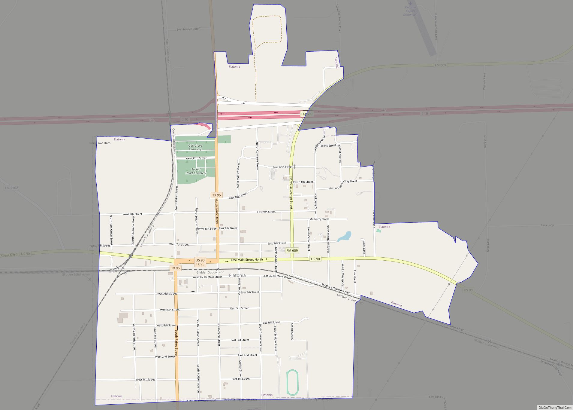
Flatonia is a town in southwestern Fayette County, Texas, United States. Located on Interstate 10 and the Union Pacific Railroad, 12 miles (19 km) west of Schulenburg, the population was 1,308 at the 2020 census.
| Name: | Flatonia town |
|---|---|
| LSAD Code: | 43 |
| LSAD Description: | town (suffix) |
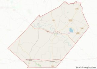
| State: | Texas |
| County: | Fayette County |
| Elevation: | 456 ft (139 m) |
| Total Area: | 1.67 sq mi (4.33 km²) |
| Land Area: | 1.65 sq mi (4.28 km²) |
| Water Area: | 0.02 sq mi (0.04 km²) |
| Total Population: | 1,308 |
| Population Density: | 865.18/sq mi (334.02/km²) |
| ZIP code: | 78941 |
| Area code: | 361 |
| FIPS code: | 4826028 |
| GNISfeature ID: | 1335937 |
| Website: | www.destinationflatonia.com |
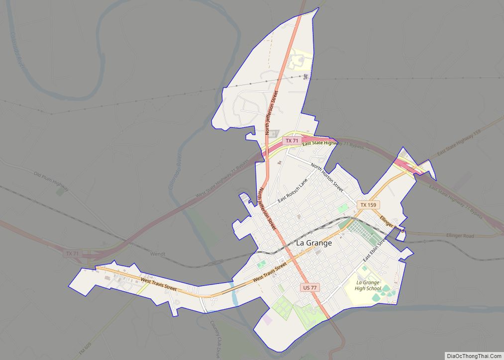
Online Interactive Map
Click on ![]() to view map in "full screen" mode.
to view map in "full screen" mode.
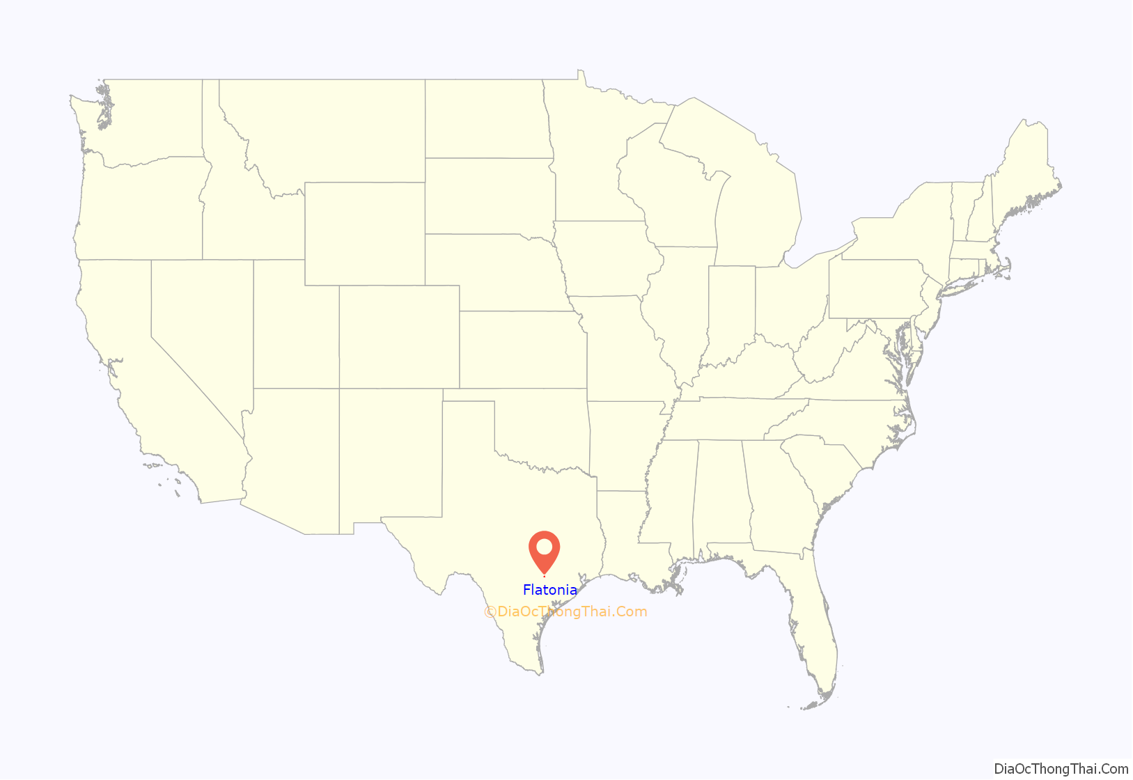
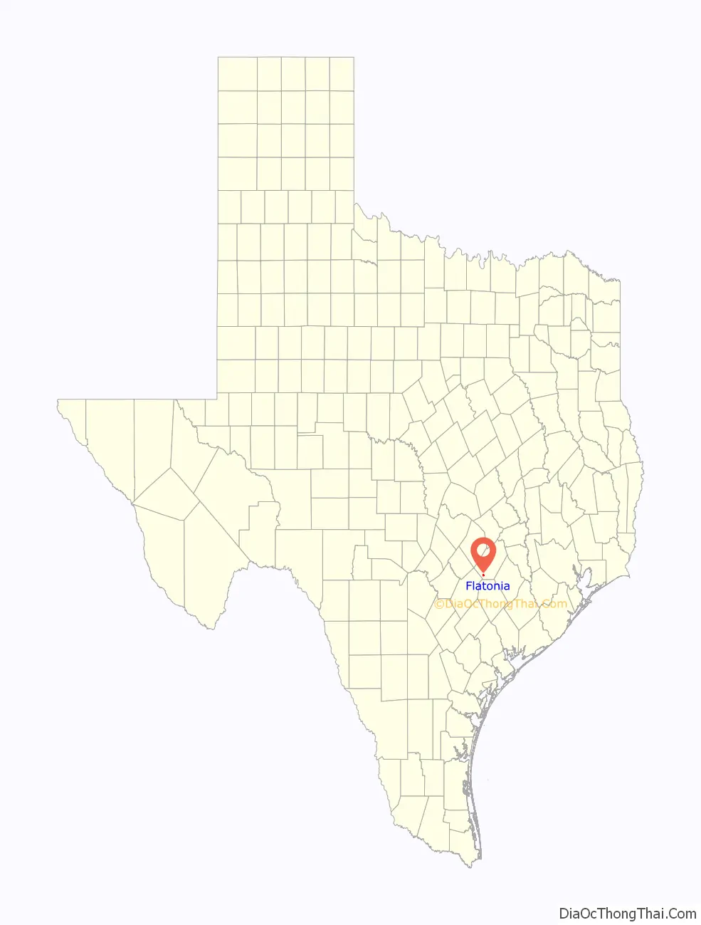
Flatonia location map. Where is Flatonia town?
History
Established on April 8, 1874 on land that the Galveston, Harrisburg and San Antonio Railway acquired from William Alexander Faries (the family name is also spelled “Ferris” and “Farris”), the community was named after F. W. Flato, a local merchant and one of the first settlers, of whom most were Anglo American. Residents placed their homes in the former Flatonia settlement, one mile southeast of the current Flatonia, and in the community of Oso, 3 miles (5 km) northeast, on wagons and moved to the new location. The post office, established in the former Flatonia in 1870, moved to the new Flatonia with the same name. Flatonia was incorporated on November 10, 1875, and held its first election on December 6 of that year. In 1878, the town had 800 residents and an economy dependent on cattle and cotton.
The location of the railway and inexpensive real estate led to the arrival of Arab, Bohemian, German, Greek, and Italian immigrants in several waves. The north-south line of the Waco branch of the San Antonio and Aransas Pass Railway opened in the mid-1880s, leading to new settlements of Muldoon and Moulton. Competition from the settlements, respectively north and south of Flatonia, and an agricultural depression damaged Flatonia’s economy. By 1900, Flatonia had a significant population decrease.
During the first half of the 20th century Flatonia’s prospects increased and decreased according to the national economy and cattle and cotton markets. In 1950 Flatonia had 1,024 residents, 50 businesses, and a wide farm and ranch service area. In the 1960s, cotton no longer was a substantial aspect of the area economy; therefore many area farms began to ranch cattle. During that time the population was between 1,000 and 1,500. Interstate 10 (I-10) opened in the 1970s, leading many tourist businesses to move from U.S. Highway 90 to I-10, one mile north of Highway 90. In 1985, Flatonia had 69 businesses. In 1990, Flatonia had 1,295 residents.
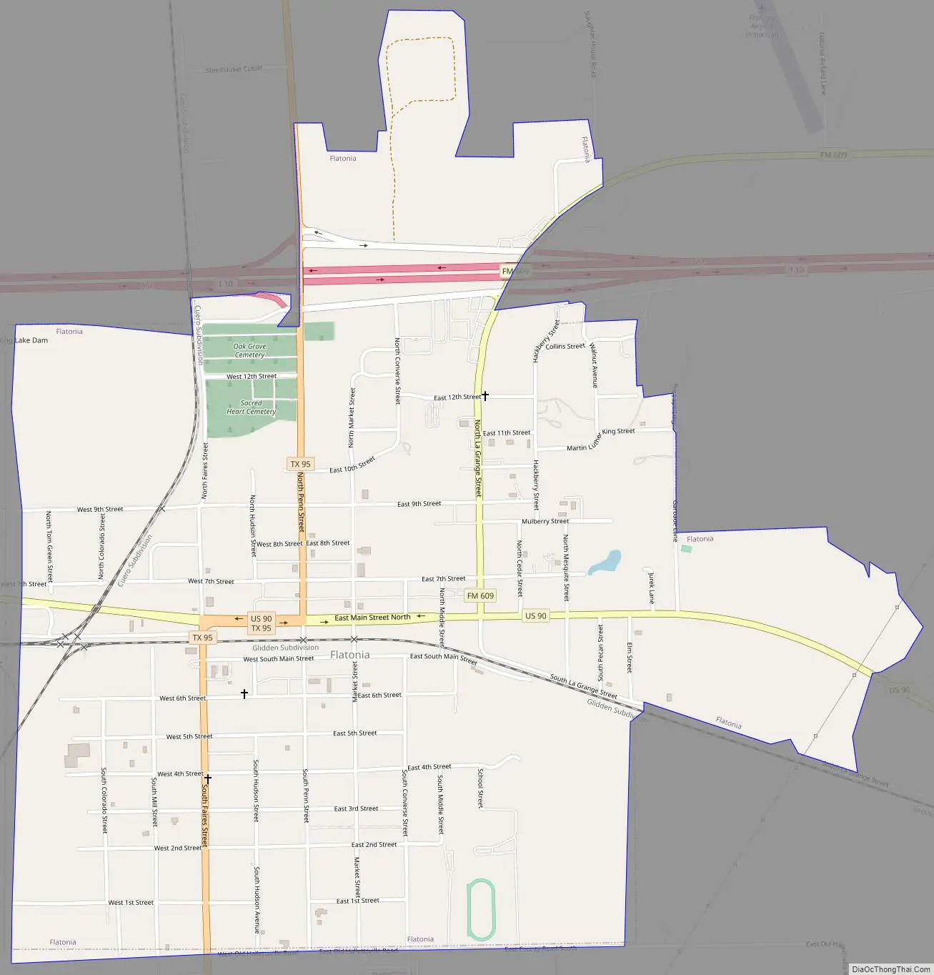
Flatonia Road Map
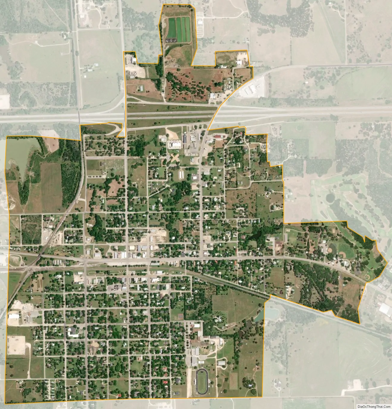
Flatonia city Satellite Map
Geography
Flatonia is located in southwestern Fayette County at 29°41′13″N 97°6′28″W / 29.68694°N 97.10778°W / 29.68694; -97.10778 (29.686981, −97.107728). U.S. Route 90 passes through the center of town as Main Street, leading east 12 miles (19 km) to Schulenburg and west 12 miles to Waelder. Texas State Highway 95 intersects US 90 in the center of Flatonia, entering from the south as Faires Street and from the north as Penn Street. Highway 95 leads south 19 miles (31 km) to Shiner and north 26 miles (42 km) to Smithville. Interstate 10 passes through the northern side of Flatonia, with access from Exit 661 (Highway 95). I-10 leads east 108 miles (174 km) to Houston and west 90 miles (140 km) to San Antonio.
According to the United States Census Bureau, Flatonia has a total area of 1.6 square miles (4.2 km), of which 0.02 square miles (0.04 km), or 1.01%, is water.
See also
Map of Texas State and its subdivision:- Anderson
- Andrews
- Angelina
- Aransas
- Archer
- Armstrong
- Atascosa
- Austin
- Bailey
- Bandera
- Bastrop
- Baylor
- Bee
- Bell
- Bexar
- Blanco
- Borden
- Bosque
- Bowie
- Brazoria
- Brazos
- Brewster
- Briscoe
- Brooks
- Brown
- Burleson
- Burnet
- Caldwell
- Calhoun
- Callahan
- Cameron
- Camp
- Carson
- Cass
- Castro
- Chambers
- Cherokee
- Childress
- Clay
- Cochran
- Coke
- Coleman
- Collin
- Collingsworth
- Colorado
- Comal
- Comanche
- Concho
- Cooke
- Coryell
- Cottle
- Crane
- Crockett
- Crosby
- Culberson
- Dallam
- Dallas
- Dawson
- Deaf Smith
- Delta
- Denton
- Dewitt
- Dickens
- Dimmit
- Donley
- Duval
- Eastland
- Ector
- Edwards
- El Paso
- Ellis
- Erath
- Falls
- Fannin
- Fayette
- Fisher
- Floyd
- Foard
- Fort Bend
- Franklin
- Freestone
- Frio
- Gaines
- Galveston
- Garza
- Gillespie
- Glasscock
- Goliad
- Gonzales
- Gray
- Grayson
- Gregg
- Grimes
- Guadalupe
- Hale
- Hall
- Hamilton
- Hansford
- Hardeman
- Hardin
- Harris
- Harrison
- Hartley
- Haskell
- Hays
- Hemphill
- Henderson
- Hidalgo
- Hill
- Hockley
- Hood
- Hopkins
- Houston
- Howard
- Hudspeth
- Hunt
- Hutchinson
- Irion
- Jack
- Jackson
- Jasper
- Jeff Davis
- Jefferson
- Jim Hogg
- Jim Wells
- Johnson
- Jones
- Karnes
- Kaufman
- Kendall
- Kenedy
- Kent
- Kerr
- Kimble
- King
- Kinney
- Kleberg
- Knox
- La Salle
- Lamar
- Lamb
- Lampasas
- Lavaca
- Lee
- Leon
- Liberty
- Limestone
- Lipscomb
- Live Oak
- Llano
- Loving
- Lubbock
- Lynn
- Madison
- Marion
- Martin
- Mason
- Matagorda
- Maverick
- McCulloch
- McLennan
- McMullen
- Medina
- Menard
- Midland
- Milam
- Mills
- Mitchell
- Montague
- Montgomery
- Moore
- Morris
- Motley
- Nacogdoches
- Navarro
- Newton
- Nolan
- Nueces
- Ochiltree
- Oldham
- Orange
- Palo Pinto
- Panola
- Parker
- Parmer
- Pecos
- Polk
- Potter
- Presidio
- Rains
- Randall
- Reagan
- Real
- Red River
- Reeves
- Refugio
- Roberts
- Robertson
- Rockwall
- Runnels
- Rusk
- Sabine
- San Augustine
- San Jacinto
- San Patricio
- San Saba
- Schleicher
- Scurry
- Shackelford
- Shelby
- Sherman
- Smith
- Somervell
- Starr
- Stephens
- Sterling
- Stonewall
- Sutton
- Swisher
- Tarrant
- Taylor
- Terrell
- Terry
- Throckmorton
- Titus
- Tom Green
- Travis
- Trinity
- Tyler
- Upshur
- Upton
- Uvalde
- Val Verde
- Van Zandt
- Victoria
- Walker
- Waller
- Ward
- Washington
- Webb
- Wharton
- Wheeler
- Wichita
- Wilbarger
- Willacy
- Williamson
- Wilson
- Winkler
- Wise
- Wood
- Yoakum
- Young
- Zapata
- Zavala
- Alabama
- Alaska
- Arizona
- Arkansas
- California
- Colorado
- Connecticut
- Delaware
- District of Columbia
- Florida
- Georgia
- Hawaii
- Idaho
- Illinois
- Indiana
- Iowa
- Kansas
- Kentucky
- Louisiana
- Maine
- Maryland
- Massachusetts
- Michigan
- Minnesota
- Mississippi
- Missouri
- Montana
- Nebraska
- Nevada
- New Hampshire
- New Jersey
- New Mexico
- New York
- North Carolina
- North Dakota
- Ohio
- Oklahoma
- Oregon
- Pennsylvania
- Rhode Island
- South Carolina
- South Dakota
- Tennessee
- Texas
- Utah
- Vermont
- Virginia
- Washington
- West Virginia
- Wisconsin
- Wyoming