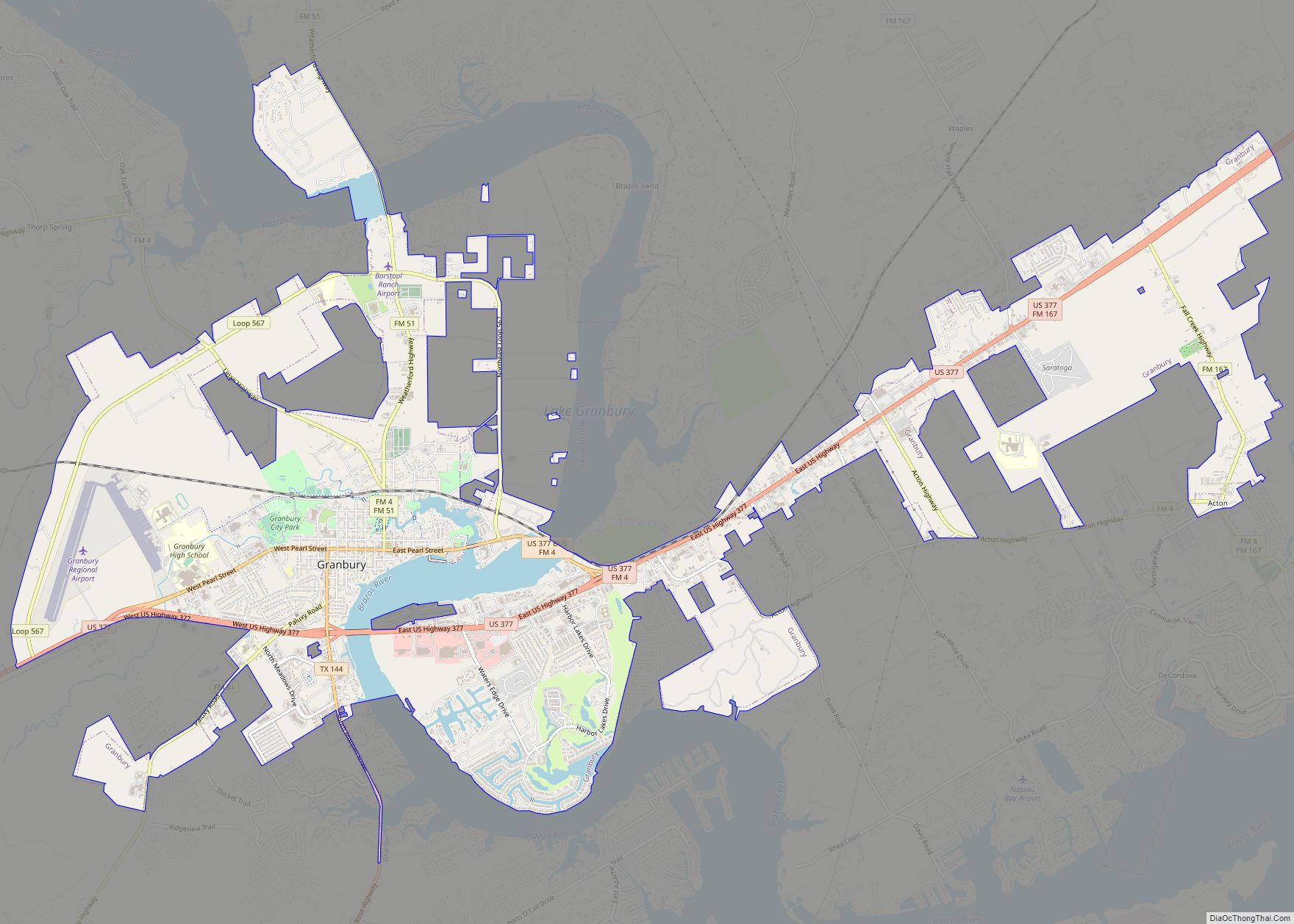
Granbury is a city in and the county seat of Hood County, Texas, United States. As of the 2020 census, the city’s population was 10,958, and it is the principal city of the Granbury micropolitan statistical area. Granbury is named after Confederate General Hiram B. Granbury.
Granbury started as a square and log cabin courthouse. Many buildings on the square are now registered historic landmarks, including the Granbury Opera House, which still hosts “Broadway” productions. The city’s name originated from Confederate General Hiram B. Granberry. To explain why the city name is spelled differently, some scholars believe the name Granberry was misread on a document. Recent findings conclude that Granberry chose to spell his name Granbury.[2]
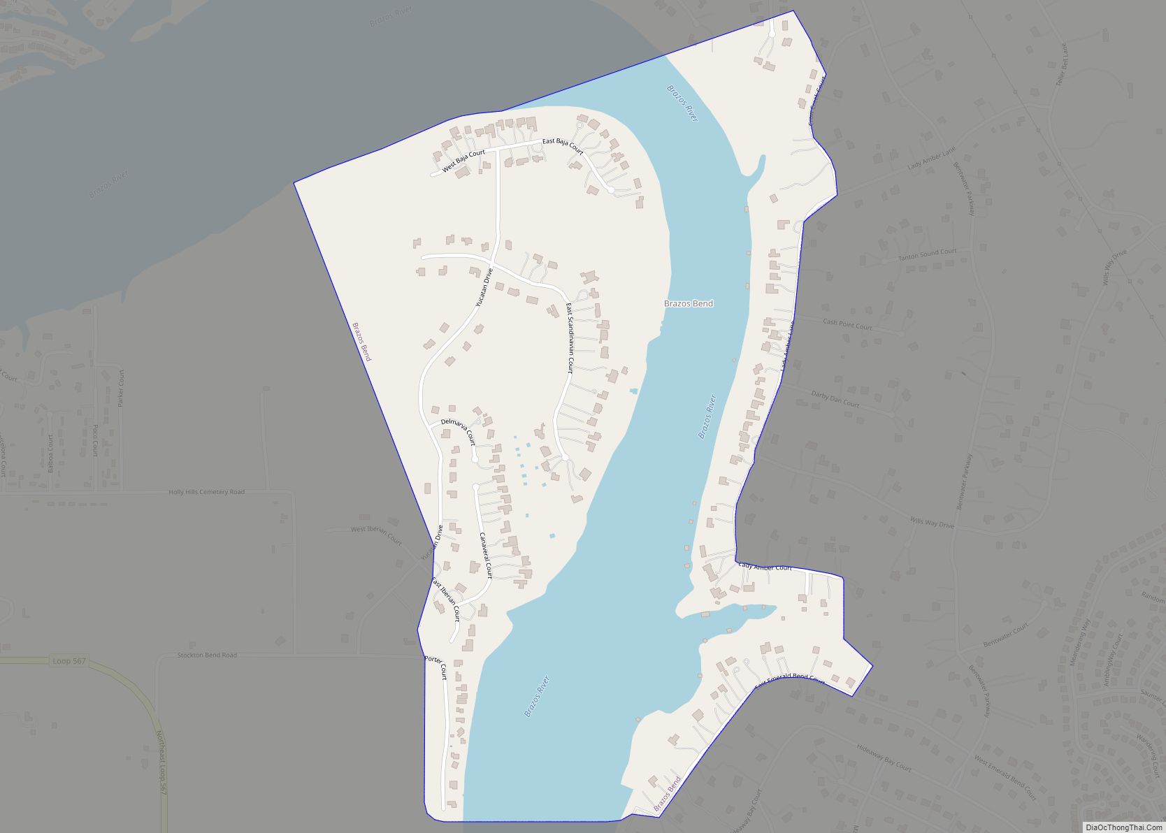
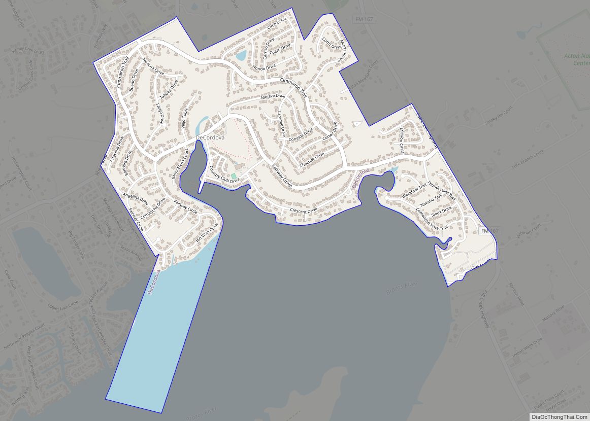
A recent expansion of the city was made possible by building a Brazos River dam in 1969, which formed Lake Granbury, a long, narrow lake that flows through the city.
| Name: | Granbury city |
|---|---|
| LSAD Code: | 25 |
| LSAD Description: | city (suffix) |
| State: | Texas |
| County: | Hood County |
| Elevation: | 735 ft (224 m) |
| Total Area: | 16.97 sq mi (43.95 km²) |
| Land Area: | 16.18 sq mi (41.92 km²) |
| Water Area: | 0.79 sq mi (2.03 km²) |
| Total Population: | 10,958 |
| Population Density: | 645.73/sq mi (249.33/km²) |
| ZIP code: | 76048-76049 |
| Area code: | 817 |
| FIPS code: | 4830416 |
| GNISfeature ID: | 1336797 |
| Website: | www.granbury.org |
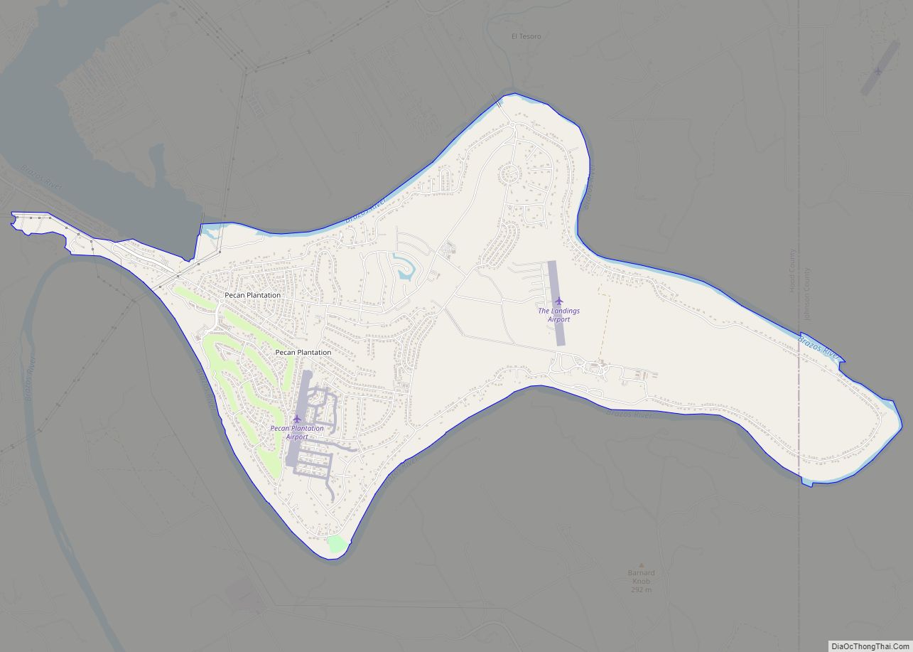
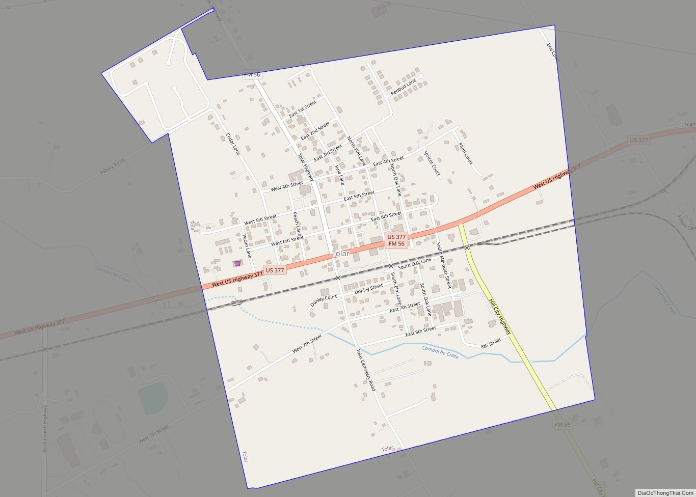
Online Interactive Map
Click on ![]() to view map in "full screen" mode.
to view map in "full screen" mode.
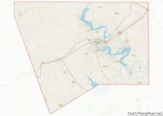
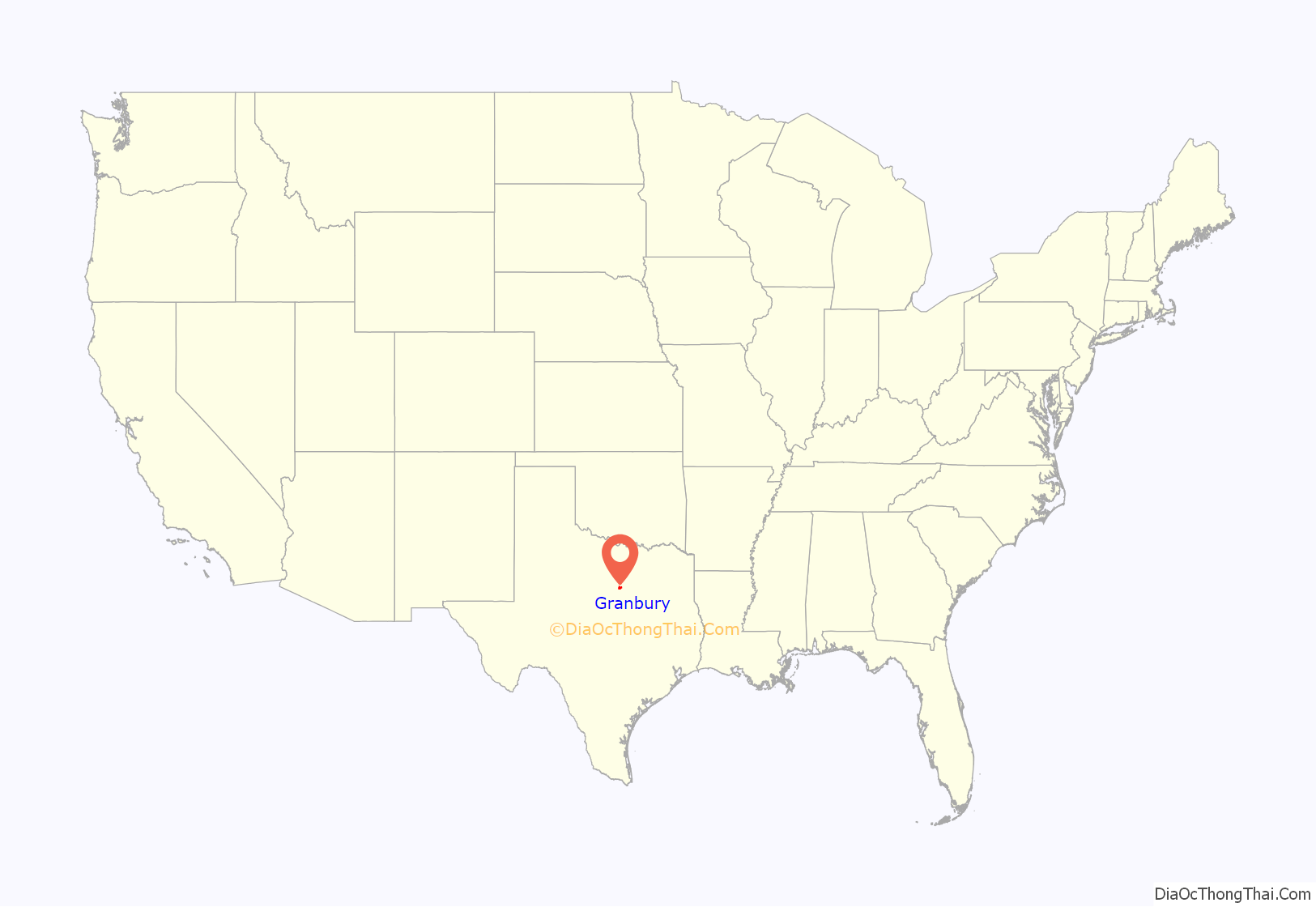
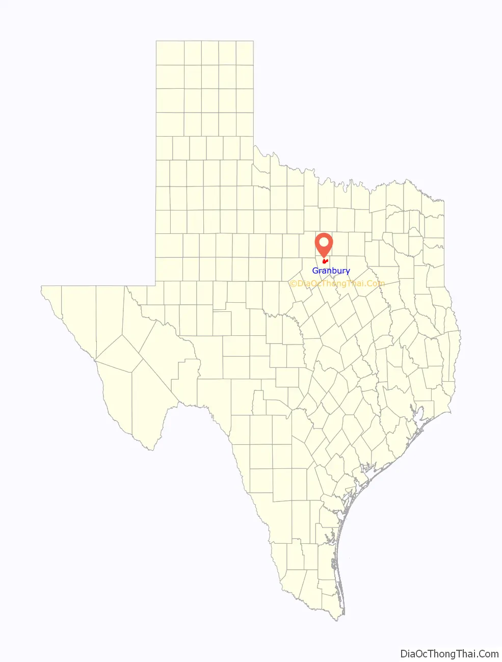
Granbury location map. Where is Granbury city?
History
The Fort Worth and Rio Grande Railway, building towards Brownwood from Fort Worth, reached Granbury in 1887. In the 20th century, the line was owned successively by the Frisco Railway, the Santa Fe Railway, and the South Orient Railroad before being acquired by the Fort Worth and Western Railroad in 1999.
On May 15, 2013, a tornado with a preliminary rating of EF4 struck Granbury, leaving six confirmed deaths and at least 100 homes damaged. Approximately 48 injured people were treated at Lake Granbury Medical Center. The tornado was a part of the Tornado outbreak of May 15–17, 2013 in Texas and Oklahoma.
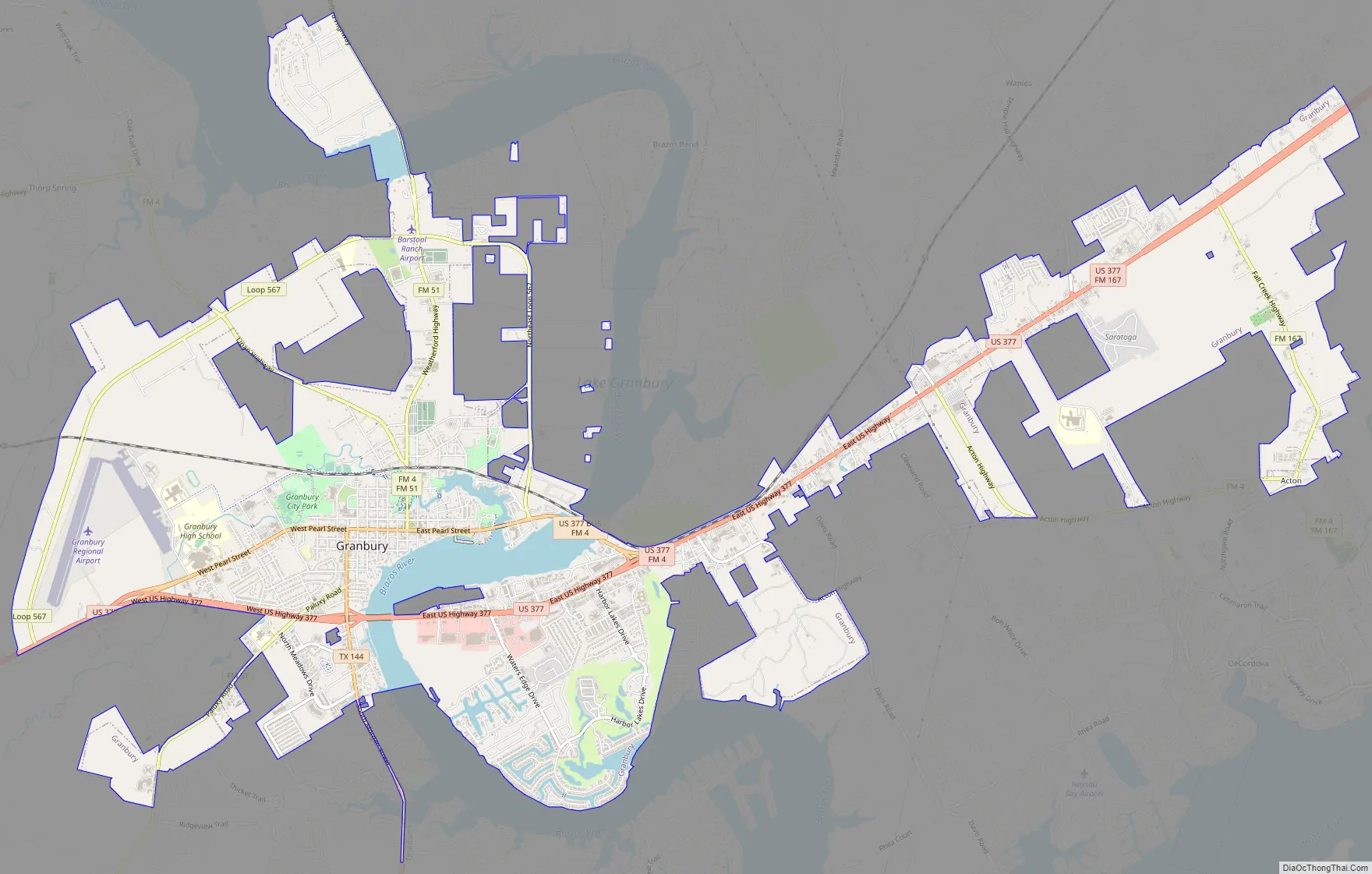
Granbury Road Map
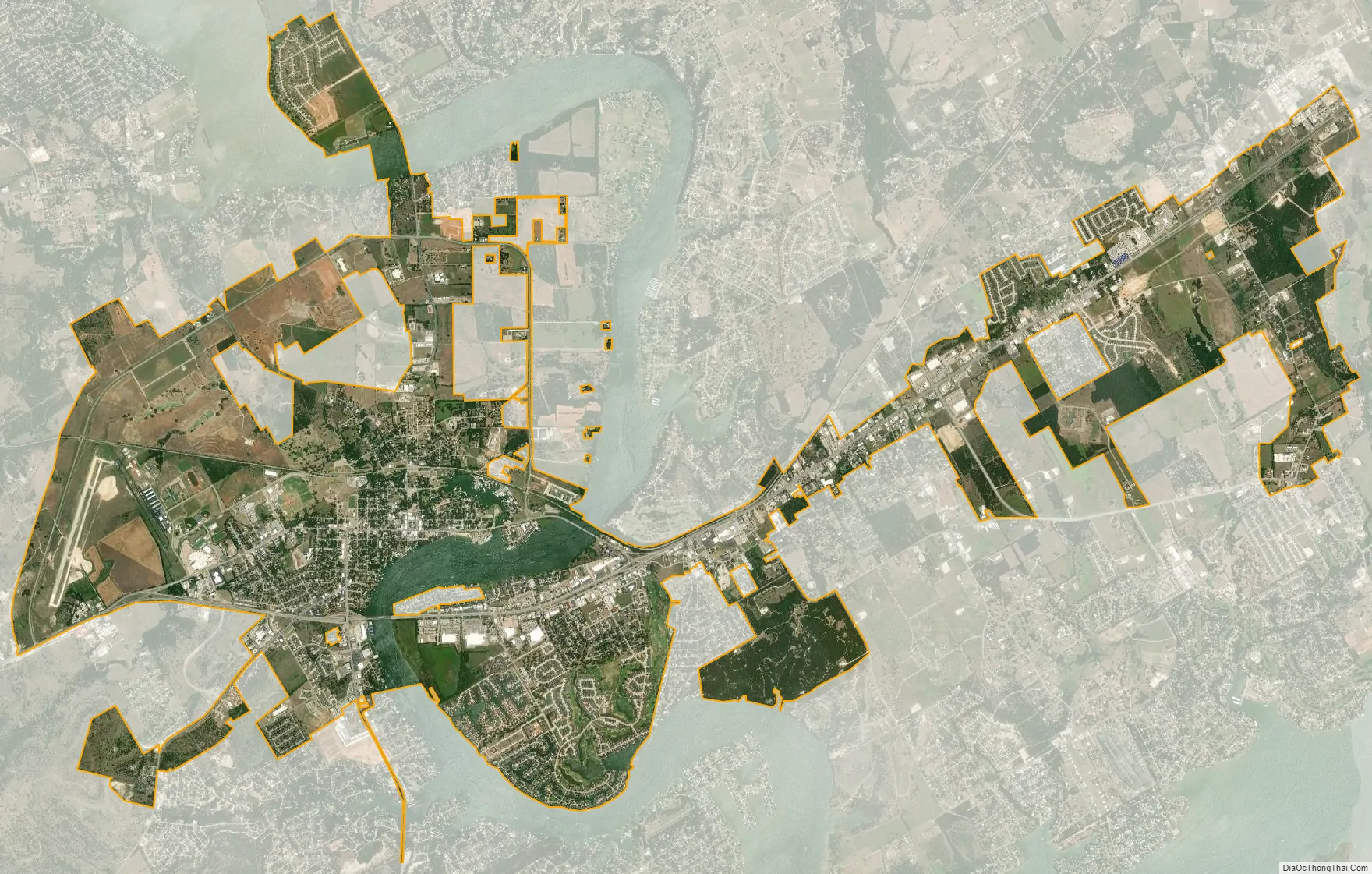
Granbury city Satellite Map
Geography
Granbury is located along US Route 377 approximately 30 miles southwest of Fort Worth. The Brazos River flows past the east side of the city within Lake Granbury. According to the United States Census Bureau, the city has a total area of 13.99 sq mi (36.23 km), of which 0.61 sq mi (1.58 km) is covered by water.
Climate
The climate in this area is characterized by hot, humid summers and generally mild to cool winters. According to the Köppen climate classification, Granbury has a humid subtropical climate, Cfa on climate maps.
See also
Map of Texas State and its subdivision:- Anderson
- Andrews
- Angelina
- Aransas
- Archer
- Armstrong
- Atascosa
- Austin
- Bailey
- Bandera
- Bastrop
- Baylor
- Bee
- Bell
- Bexar
- Blanco
- Borden
- Bosque
- Bowie
- Brazoria
- Brazos
- Brewster
- Briscoe
- Brooks
- Brown
- Burleson
- Burnet
- Caldwell
- Calhoun
- Callahan
- Cameron
- Camp
- Carson
- Cass
- Castro
- Chambers
- Cherokee
- Childress
- Clay
- Cochran
- Coke
- Coleman
- Collin
- Collingsworth
- Colorado
- Comal
- Comanche
- Concho
- Cooke
- Coryell
- Cottle
- Crane
- Crockett
- Crosby
- Culberson
- Dallam
- Dallas
- Dawson
- Deaf Smith
- Delta
- Denton
- Dewitt
- Dickens
- Dimmit
- Donley
- Duval
- Eastland
- Ector
- Edwards
- El Paso
- Ellis
- Erath
- Falls
- Fannin
- Fayette
- Fisher
- Floyd
- Foard
- Fort Bend
- Franklin
- Freestone
- Frio
- Gaines
- Galveston
- Garza
- Gillespie
- Glasscock
- Goliad
- Gonzales
- Gray
- Grayson
- Gregg
- Grimes
- Guadalupe
- Hale
- Hall
- Hamilton
- Hansford
- Hardeman
- Hardin
- Harris
- Harrison
- Hartley
- Haskell
- Hays
- Hemphill
- Henderson
- Hidalgo
- Hill
- Hockley
- Hood
- Hopkins
- Houston
- Howard
- Hudspeth
- Hunt
- Hutchinson
- Irion
- Jack
- Jackson
- Jasper
- Jeff Davis
- Jefferson
- Jim Hogg
- Jim Wells
- Johnson
- Jones
- Karnes
- Kaufman
- Kendall
- Kenedy
- Kent
- Kerr
- Kimble
- King
- Kinney
- Kleberg
- Knox
- La Salle
- Lamar
- Lamb
- Lampasas
- Lavaca
- Lee
- Leon
- Liberty
- Limestone
- Lipscomb
- Live Oak
- Llano
- Loving
- Lubbock
- Lynn
- Madison
- Marion
- Martin
- Mason
- Matagorda
- Maverick
- McCulloch
- McLennan
- McMullen
- Medina
- Menard
- Midland
- Milam
- Mills
- Mitchell
- Montague
- Montgomery
- Moore
- Morris
- Motley
- Nacogdoches
- Navarro
- Newton
- Nolan
- Nueces
- Ochiltree
- Oldham
- Orange
- Palo Pinto
- Panola
- Parker
- Parmer
- Pecos
- Polk
- Potter
- Presidio
- Rains
- Randall
- Reagan
- Real
- Red River
- Reeves
- Refugio
- Roberts
- Robertson
- Rockwall
- Runnels
- Rusk
- Sabine
- San Augustine
- San Jacinto
- San Patricio
- San Saba
- Schleicher
- Scurry
- Shackelford
- Shelby
- Sherman
- Smith
- Somervell
- Starr
- Stephens
- Sterling
- Stonewall
- Sutton
- Swisher
- Tarrant
- Taylor
- Terrell
- Terry
- Throckmorton
- Titus
- Tom Green
- Travis
- Trinity
- Tyler
- Upshur
- Upton
- Uvalde
- Val Verde
- Van Zandt
- Victoria
- Walker
- Waller
- Ward
- Washington
- Webb
- Wharton
- Wheeler
- Wichita
- Wilbarger
- Willacy
- Williamson
- Wilson
- Winkler
- Wise
- Wood
- Yoakum
- Young
- Zapata
- Zavala
- Alabama
- Alaska
- Arizona
- Arkansas
- California
- Colorado
- Connecticut
- Delaware
- District of Columbia
- Florida
- Georgia
- Hawaii
- Idaho
- Illinois
- Indiana
- Iowa
- Kansas
- Kentucky
- Louisiana
- Maine
- Maryland
- Massachusetts
- Michigan
- Minnesota
- Mississippi
- Missouri
- Montana
- Nebraska
- Nevada
- New Hampshire
- New Jersey
- New Mexico
- New York
- North Carolina
- North Dakota
- Ohio
- Oklahoma
- Oregon
- Pennsylvania
- Rhode Island
- South Carolina
- South Dakota
- Tennessee
- Texas
- Utah
- Vermont
- Virginia
- Washington
- West Virginia
- Wisconsin
- Wyoming