Grapevine is a city located in northeast Tarrant County, Texas, United States, with minor portions extending into Dallas County and Denton County. The city is located in the Mid-Cities suburban region between Dallas and Fort Worth and includes a larger portion of Dallas/Fort Worth International Airport than other cities.
The city is adjacent to Grapevine Lake, a large reservoir impounded by the Army Corps of Engineers in 1952 that serves as a source of water and a recreational area.
| Name: | Grapevine city |
|---|---|
| LSAD Code: | 25 |
| LSAD Description: | city (suffix) |
| State: | Texas |
| County: | Dallas County, Denton County, Tarrant County |
| Elevation: | 630 ft (190 m) |
| Total Area: | 35.77 sq mi (92.66 km²) |
| Land Area: | 32.14 sq mi (83.25 km²) |
| Water Area: | 3.63 sq mi (9.41 km²) 9.98% |
| Total Population: | 46,334 |
| Population Density: | 1,719.95/sq mi (664.07/km²) |
| ZIP code: | 76051, 76092, 76099 |
| Area code: | 682,817, 214, 469, 945, 972 |
| FIPS code: | 4830644 |
| GNISfeature ID: | 2410650 |
| Website: | https://www.grapevinetexas.gov/ |
Online Interactive Map
Click on ![]() to view map in "full screen" mode.
to view map in "full screen" mode.
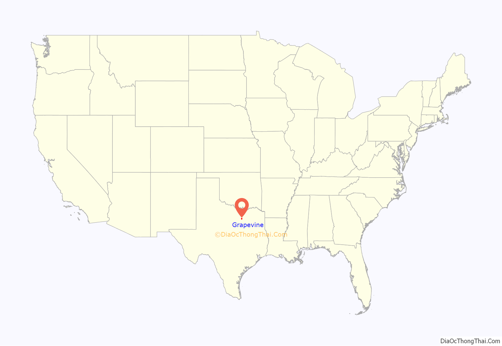
Grapevine location map. Where is Grapevine city?

History
In October 1843, General Sam Houston and fellow Republic of Texas Commissioners camped at Tah-Wah-Karro Creek, also known as Grape Vine Springs, to meet with leaders of 10 Indian nations. This meeting culminated in the signing of a treaty of “peace, friendship, and commerce,” which opened the area for homesteaders. The settlement that emerged was named Grape Vine due to its location on the appropriately-named Grape Vine Prairie near Grape Vine Springs, both names in homage to the wild grapes that grew in the area. Grapevine is the oldest settlement in Tarrant County, dating back to 1844 when Texas was a republic before statehood in 1845.
The first recorded white settlement in what would become the modern city occurred in the late 1840s and early 1850s. General Richard Montgomery Gano owned property near Grape Vine and helped organize the early settlement against Comanche raiding parties before leading his band of volunteers to battle in the American Civil War. Growth during the 19th century was slow but steady; by 1890, Grape Vine had about 800 residents supported by such amenities as a newspaper, a public school, several cotton gins, a post office, and railroad service. The settlement made continued gains early in the 20th century and on January 12, 1914, the post office altered the town’s name to one word: Grapevine.
On Easter Sunday, April 1, 1934, Henry Methvin, an associate of Bonnie Parker and Clyde Barrow, killed two police officers, E.B. Wheeler, and H.D. Murphy, during an altercation near Grapevine. A historical marker remains at the intersection of Dove Road and State Highway 114.
Grapevine’s population fell during the interwar period, as the economy stagnated, though the city was officially incorporated in 1936. Cotton was the primary crop for Grapevine until the early 20th century when it was overtaken by cantaloupe farms that accounted for 25,000 acres. For several decades, until the early 1970s, the Rotary Club sign outside of town boasted Grapevine as the “Cantaloupe Capital of the World”. Population growth and economic gains resumed to some extent in the decades after World War II. The opening of Dallas–Fort Worth International Airport in 1974 spurred massive development. Grapevine depended heavily upon agricultural production prior to the mid-20th century but transformed into a regional center of commerce because of its proximity to the airport’s north entrance.
In recent years, several wineries have opened in Grapevine, and the city has been active in maintaining its historic downtown corridor.
Grapevine Road Map

Grapevine city Satellite Map

Geography
Grapevine is located at 32°56′6″N 97°5′9″W / 32.93500°N 97.08583°W / 32.93500; -97.08583 (32.935025, −97.085784).
According to the United States Census Bureau, the city has a total area of 35.9 square miles (93 km), of which 32.3 sq mi (84 km) are land and 3.6 sq mi (9.3 km) are covered by water.
See also
Map of Texas State and its subdivision:- Anderson
- Andrews
- Angelina
- Aransas
- Archer
- Armstrong
- Atascosa
- Austin
- Bailey
- Bandera
- Bastrop
- Baylor
- Bee
- Bell
- Bexar
- Blanco
- Borden
- Bosque
- Bowie
- Brazoria
- Brazos
- Brewster
- Briscoe
- Brooks
- Brown
- Burleson
- Burnet
- Caldwell
- Calhoun
- Callahan
- Cameron
- Camp
- Carson
- Cass
- Castro
- Chambers
- Cherokee
- Childress
- Clay
- Cochran
- Coke
- Coleman
- Collin
- Collingsworth
- Colorado
- Comal
- Comanche
- Concho
- Cooke
- Coryell
- Cottle
- Crane
- Crockett
- Crosby
- Culberson
- Dallam
- Dallas
- Dawson
- Deaf Smith
- Delta
- Denton
- Dewitt
- Dickens
- Dimmit
- Donley
- Duval
- Eastland
- Ector
- Edwards
- El Paso
- Ellis
- Erath
- Falls
- Fannin
- Fayette
- Fisher
- Floyd
- Foard
- Fort Bend
- Franklin
- Freestone
- Frio
- Gaines
- Galveston
- Garza
- Gillespie
- Glasscock
- Goliad
- Gonzales
- Gray
- Grayson
- Gregg
- Grimes
- Guadalupe
- Hale
- Hall
- Hamilton
- Hansford
- Hardeman
- Hardin
- Harris
- Harrison
- Hartley
- Haskell
- Hays
- Hemphill
- Henderson
- Hidalgo
- Hill
- Hockley
- Hood
- Hopkins
- Houston
- Howard
- Hudspeth
- Hunt
- Hutchinson
- Irion
- Jack
- Jackson
- Jasper
- Jeff Davis
- Jefferson
- Jim Hogg
- Jim Wells
- Johnson
- Jones
- Karnes
- Kaufman
- Kendall
- Kenedy
- Kent
- Kerr
- Kimble
- King
- Kinney
- Kleberg
- Knox
- La Salle
- Lamar
- Lamb
- Lampasas
- Lavaca
- Lee
- Leon
- Liberty
- Limestone
- Lipscomb
- Live Oak
- Llano
- Loving
- Lubbock
- Lynn
- Madison
- Marion
- Martin
- Mason
- Matagorda
- Maverick
- McCulloch
- McLennan
- McMullen
- Medina
- Menard
- Midland
- Milam
- Mills
- Mitchell
- Montague
- Montgomery
- Moore
- Morris
- Motley
- Nacogdoches
- Navarro
- Newton
- Nolan
- Nueces
- Ochiltree
- Oldham
- Orange
- Palo Pinto
- Panola
- Parker
- Parmer
- Pecos
- Polk
- Potter
- Presidio
- Rains
- Randall
- Reagan
- Real
- Red River
- Reeves
- Refugio
- Roberts
- Robertson
- Rockwall
- Runnels
- Rusk
- Sabine
- San Augustine
- San Jacinto
- San Patricio
- San Saba
- Schleicher
- Scurry
- Shackelford
- Shelby
- Sherman
- Smith
- Somervell
- Starr
- Stephens
- Sterling
- Stonewall
- Sutton
- Swisher
- Tarrant
- Taylor
- Terrell
- Terry
- Throckmorton
- Titus
- Tom Green
- Travis
- Trinity
- Tyler
- Upshur
- Upton
- Uvalde
- Val Verde
- Van Zandt
- Victoria
- Walker
- Waller
- Ward
- Washington
- Webb
- Wharton
- Wheeler
- Wichita
- Wilbarger
- Willacy
- Williamson
- Wilson
- Winkler
- Wise
- Wood
- Yoakum
- Young
- Zapata
- Zavala
- Alabama
- Alaska
- Arizona
- Arkansas
- California
- Colorado
- Connecticut
- Delaware
- District of Columbia
- Florida
- Georgia
- Hawaii
- Idaho
- Illinois
- Indiana
- Iowa
- Kansas
- Kentucky
- Louisiana
- Maine
- Maryland
- Massachusetts
- Michigan
- Minnesota
- Mississippi
- Missouri
- Montana
- Nebraska
- Nevada
- New Hampshire
- New Jersey
- New Mexico
- New York
- North Carolina
- North Dakota
- Ohio
- Oklahoma
- Oregon
- Pennsylvania
- Rhode Island
- South Carolina
- South Dakota
- Tennessee
- Texas
- Utah
- Vermont
- Virginia
- Washington
- West Virginia
- Wisconsin
- Wyoming


