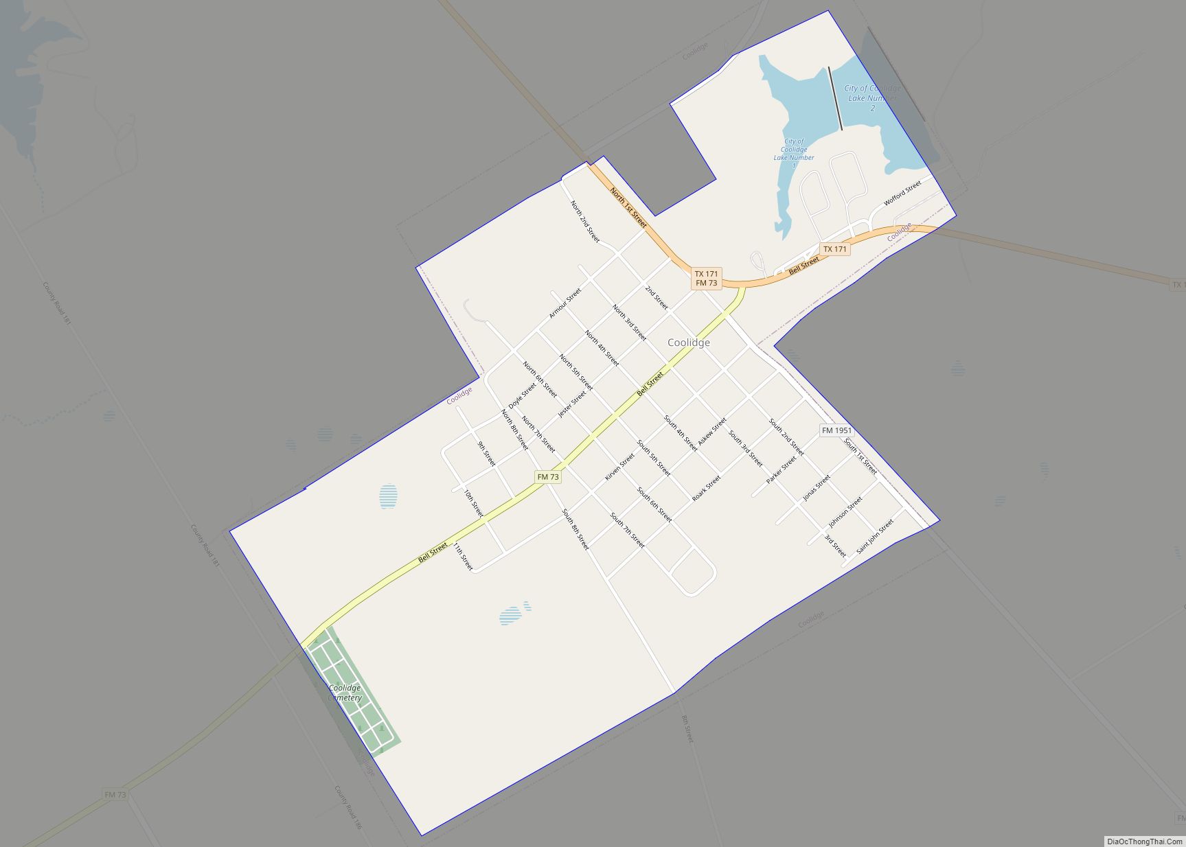
Groesbeck is a city in and the county seat of Limestone County, Texas, United States. Its population was 3,631 at the 2020 census. The community is named after a railroad employee.
| Name: | Groesbeck city |
|---|---|
| LSAD Code: | 25 |
| LSAD Description: | city (suffix) |
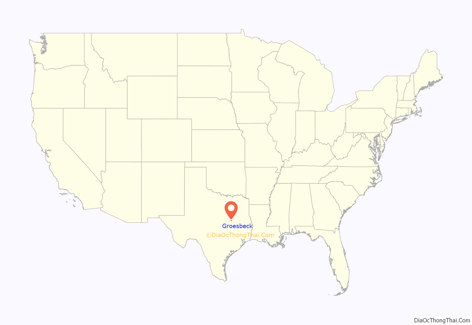
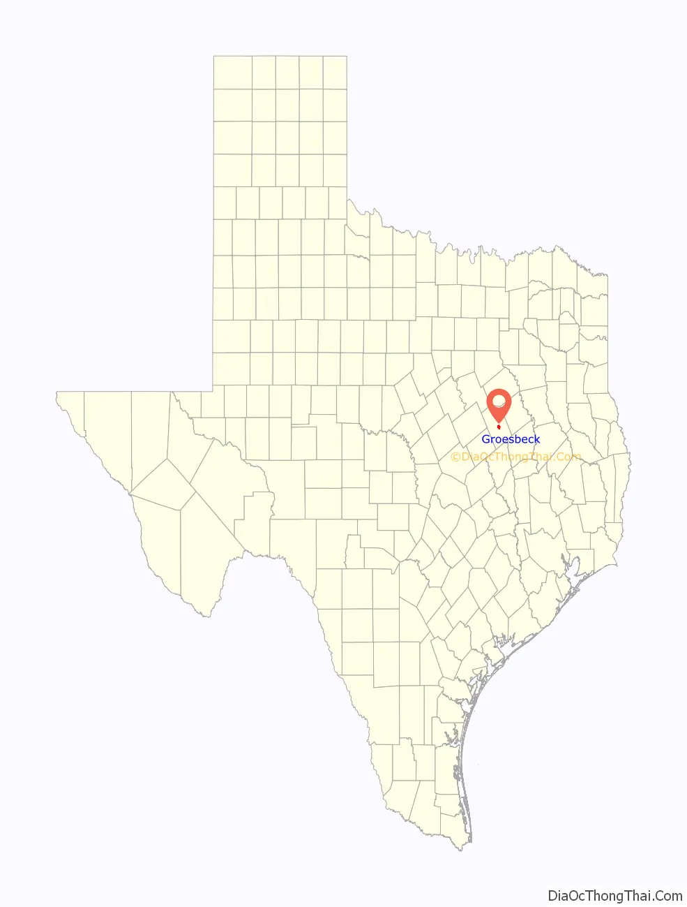
| State: | Texas |
| County: | Limestone County |
| Elevation: | 479 ft (146 m) |
| Total Area: | 4.37 sq mi (11.33 km²) |
| Land Area: | 4.34 sq mi (11.24 km²) |
| Water Area: | 0.04 sq mi (0.09 km²) |
| Total Population: | 3,631 |
| Population Density: | 980.18/sq mi (378.44/km²) |
| ZIP code: | 76642 |
| Area code: | 254 |
| FIPS code: | 4831280 |
| GNISfeature ID: | 1358461 |
| Website: | www.cityofgroesbeck.com |
Online Interactive Map
Click on ![]() to view map in "full screen" mode.
to view map in "full screen" mode.
Groesbeck location map. Where is Groesbeck city?
History
The city of Groesbeck was dedicated as a township by Houston and Texas Central Railroad in 1869. It was named for Abram Groesbeeck, a railroad director. The difference in spelling between the person and town is a result of the post office directives for simpler spelling. Development of its city government began in 1871. Groesbeck became the county seat of Limestone County in 1873, and is home to the “Million Dollar Courthouse”. Old Fort Parker Historical Site on the north side of Groesbeck is preserved to tell the story of Cynthia Ann Parker, who was captured by Comanches, and became the mother of Quannah Parker, the last Comanche chief. The last legal execution in Limestone County occurred on April 12, 1895, when Richard Burleson, who had been convicted of murdering James Garrett McKinnon, was hanged in front of the courthouse in Groesbeck.
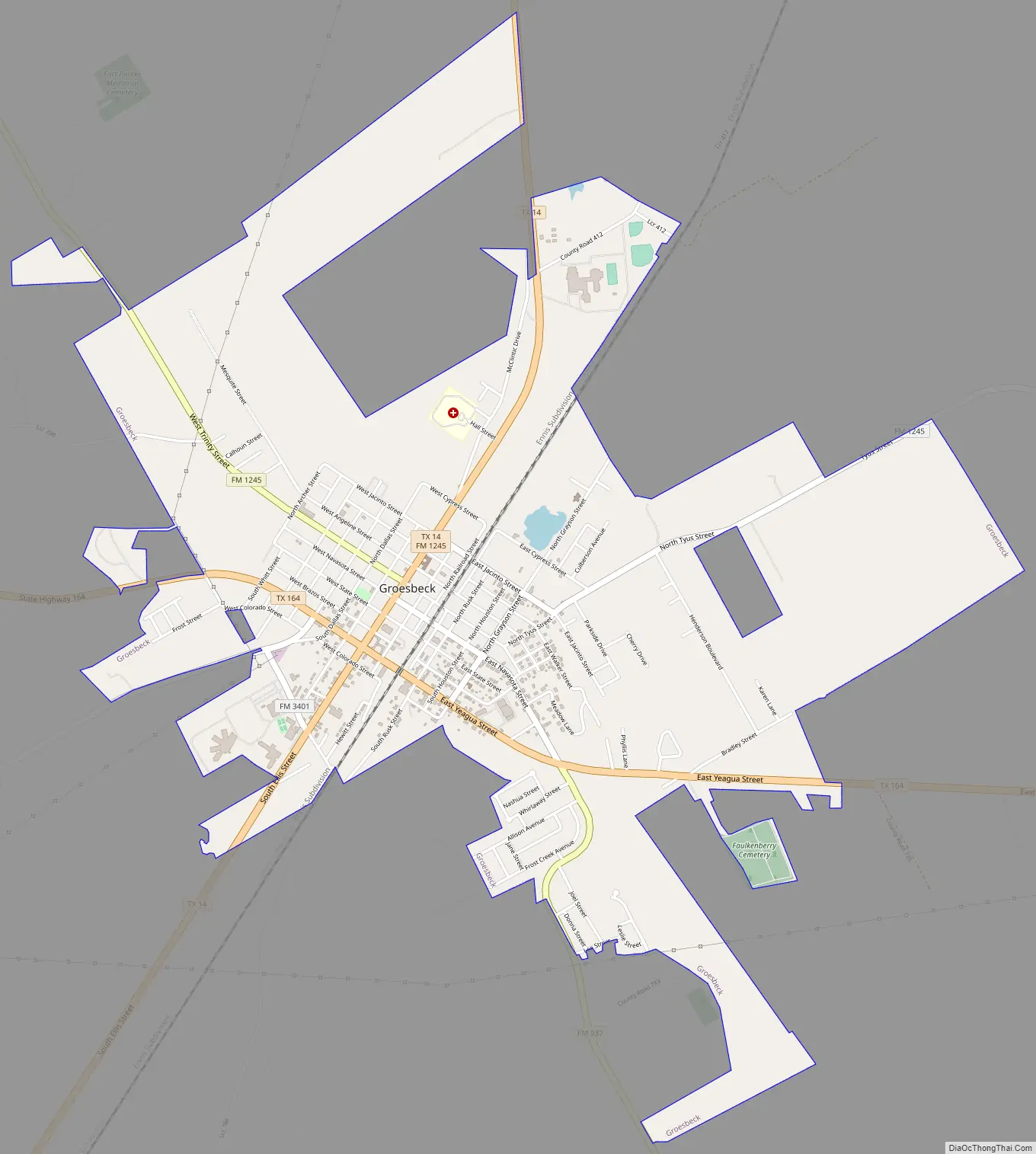
Groesbeck Road Map
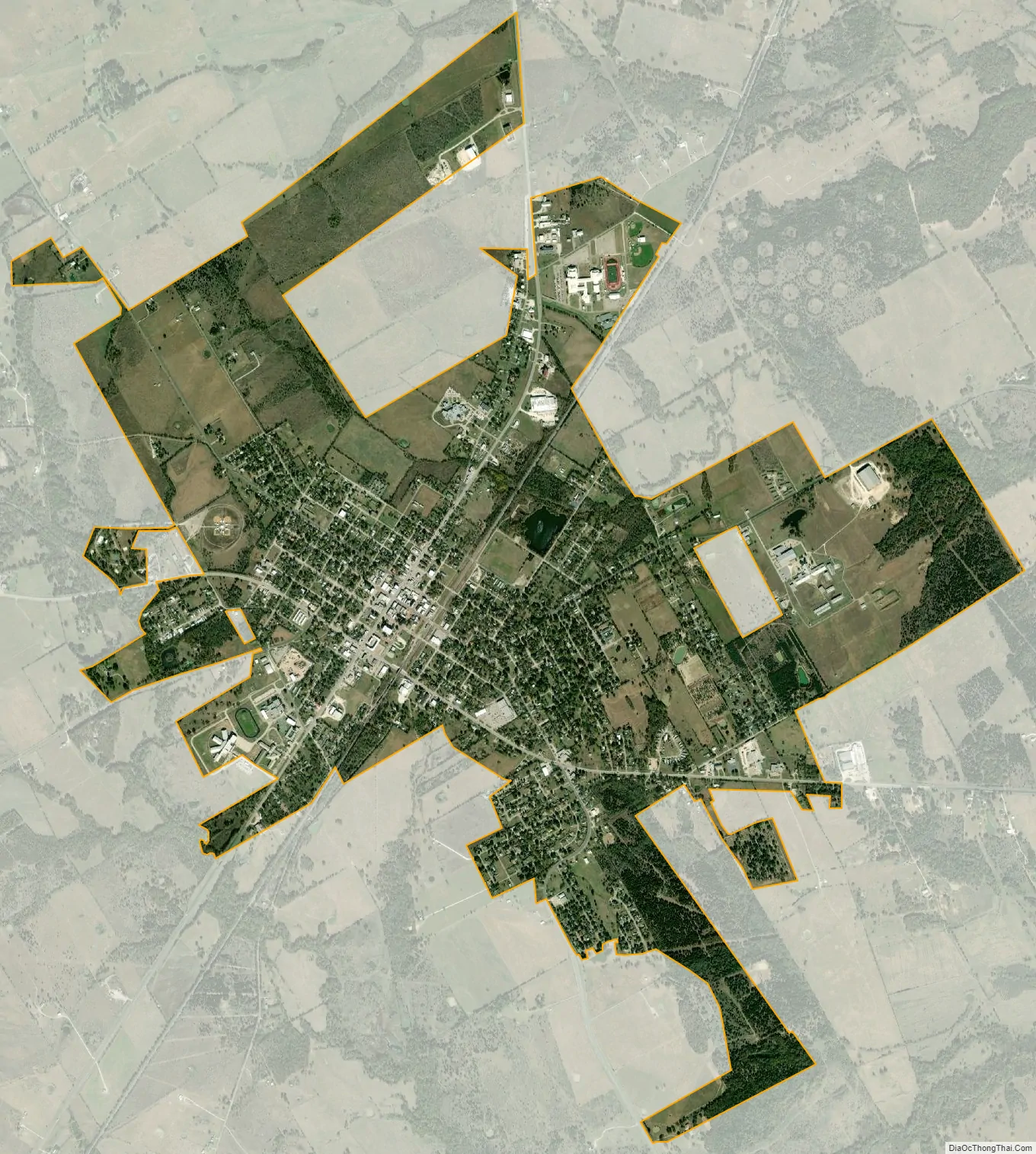
Groesbeck city Satellite Map
Geography
Groesbeck is located at 31°31′22″N 96°31′56″W / 31.52278°N 96.53222°W / 31.52278; -96.53222 (31.522907, –96.532125).
According to the United States Census Bureau, the city has a total area of 3.8 sq mi (9.8 km), of which, 3.8 sq mi (9.8 km) are almost all land (0.27% covered by water).
The community is located at the junction of State Highways 14 and 164.
Groesbeck is the closest town to historic Old Fort Parker. The fort holds an annual Christmas event at the site every December. The original fort has been rebuilt on the original site to the original specifications.
See also
Map of Texas State and its subdivision:- Anderson
- Andrews
- Angelina
- Aransas
- Archer
- Armstrong
- Atascosa
- Austin
- Bailey
- Bandera
- Bastrop
- Baylor
- Bee
- Bell
- Bexar
- Blanco
- Borden
- Bosque
- Bowie
- Brazoria
- Brazos
- Brewster
- Briscoe
- Brooks
- Brown
- Burleson
- Burnet
- Caldwell
- Calhoun
- Callahan
- Cameron
- Camp
- Carson
- Cass
- Castro
- Chambers
- Cherokee
- Childress
- Clay
- Cochran
- Coke
- Coleman
- Collin
- Collingsworth
- Colorado
- Comal
- Comanche
- Concho
- Cooke
- Coryell
- Cottle
- Crane
- Crockett
- Crosby
- Culberson
- Dallam
- Dallas
- Dawson
- Deaf Smith
- Delta
- Denton
- Dewitt
- Dickens
- Dimmit
- Donley
- Duval
- Eastland
- Ector
- Edwards
- El Paso
- Ellis
- Erath
- Falls
- Fannin
- Fayette
- Fisher
- Floyd
- Foard
- Fort Bend
- Franklin
- Freestone
- Frio
- Gaines
- Galveston
- Garza
- Gillespie
- Glasscock
- Goliad
- Gonzales
- Gray
- Grayson
- Gregg
- Grimes
- Guadalupe
- Hale
- Hall
- Hamilton
- Hansford
- Hardeman
- Hardin
- Harris
- Harrison
- Hartley
- Haskell
- Hays
- Hemphill
- Henderson
- Hidalgo
- Hill
- Hockley
- Hood
- Hopkins
- Houston
- Howard
- Hudspeth
- Hunt
- Hutchinson
- Irion
- Jack
- Jackson
- Jasper
- Jeff Davis
- Jefferson
- Jim Hogg
- Jim Wells
- Johnson
- Jones
- Karnes
- Kaufman
- Kendall
- Kenedy
- Kent
- Kerr
- Kimble
- King
- Kinney
- Kleberg
- Knox
- La Salle
- Lamar
- Lamb
- Lampasas
- Lavaca
- Lee
- Leon
- Liberty
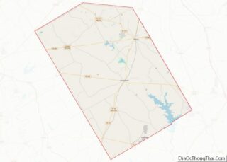
- Limestone
- Lipscomb
- Live Oak
- Llano
- Loving
- Lubbock
- Lynn
- Madison
- Marion
- Martin
- Mason
- Matagorda
- Maverick
- McCulloch
- McLennan
- McMullen
- Medina
- Menard
- Midland
- Milam
- Mills
- Mitchell
- Montague
- Montgomery
- Moore
- Morris
- Motley
- Nacogdoches
- Navarro
- Newton
- Nolan
- Nueces
- Ochiltree
- Oldham
- Orange
- Palo Pinto
- Panola
- Parker
- Parmer
- Pecos
- Polk
- Potter
- Presidio
- Rains
- Randall
- Reagan
- Real
- Red River
- Reeves
- Refugio
- Roberts
- Robertson
- Rockwall
- Runnels
- Rusk
- Sabine
- San Augustine
- San Jacinto
- San Patricio
- San Saba
- Schleicher
- Scurry
- Shackelford
- Shelby
- Sherman
- Smith
- Somervell
- Starr
- Stephens
- Sterling
- Stonewall
- Sutton
- Swisher
- Tarrant
- Taylor
- Terrell
- Terry
- Throckmorton
- Titus
- Tom Green
- Travis
- Trinity
- Tyler
- Upshur
- Upton
- Uvalde
- Val Verde
- Van Zandt
- Victoria
- Walker
- Waller
- Ward
- Washington
- Webb
- Wharton
- Wheeler
- Wichita
- Wilbarger
- Willacy
- Williamson
- Wilson
- Winkler
- Wise
- Wood
- Yoakum
- Young
- Zapata
- Zavala
- Alabama
- Alaska
- Arizona
- Arkansas
- California
- Colorado
- Connecticut
- Delaware
- District of Columbia
- Florida
- Georgia
- Hawaii
- Idaho
- Illinois
- Indiana
- Iowa
- Kansas
- Kentucky
- Louisiana
- Maine
- Maryland
- Massachusetts
- Michigan
- Minnesota
- Mississippi
- Missouri
- Montana
- Nebraska
- Nevada
- New Hampshire
- New Jersey
- New Mexico
- New York
- North Carolina
- North Dakota
- Ohio
- Oklahoma
- Oregon
- Pennsylvania
- Rhode Island
- South Carolina
- South Dakota
- Tennessee
- Texas
- Utah
- Vermont
- Virginia
- Washington
- West Virginia
- Wisconsin
- Wyoming