Kendleton is a city in western Fort Bend County, Texas southwest of Sugar Land, Texas. It was established by emancipated slaves after the American Civil War. The population was 380 at the 2010 census, down from 466 at the 2000 census. As of 2011, Darryl Humphrey was the mayor of the city.
| Name: | Kendleton city |
|---|---|
| LSAD Code: | 25 |
| LSAD Description: | city (suffix) |
| State: | Texas |
| County: | Fort Bend County |
| Elevation: | 95 ft (29 m) |
| Total Area: | 1.10 sq mi (2.86 km²) |
| Land Area: | 1.10 sq mi (2.85 km²) |
| Water Area: | 0.01 sq mi (0.01 km²) |
| Total Population: | 380 |
| Population Density: | 413.10/sq mi (159.47/km²) |
| ZIP code: | 77451 |
| Area code: | 979 |
| FIPS code: | 4838848 |
| GNISfeature ID: | 1339029 |
| Website: | http://www.kendletontx.net/ |
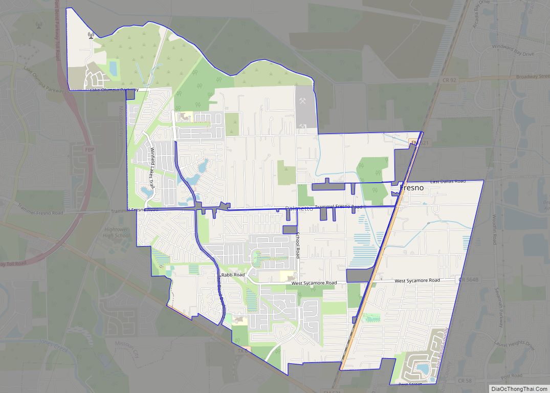
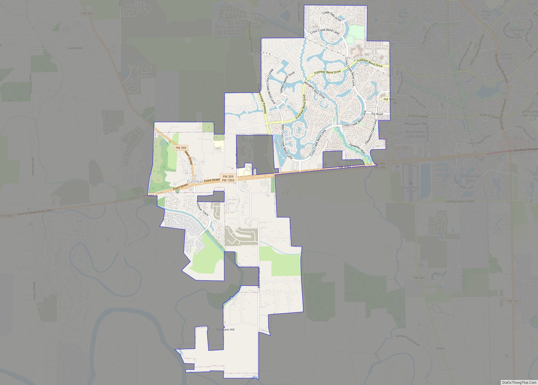
Online Interactive Map
Click on ![]() to view map in "full screen" mode.
to view map in "full screen" mode.
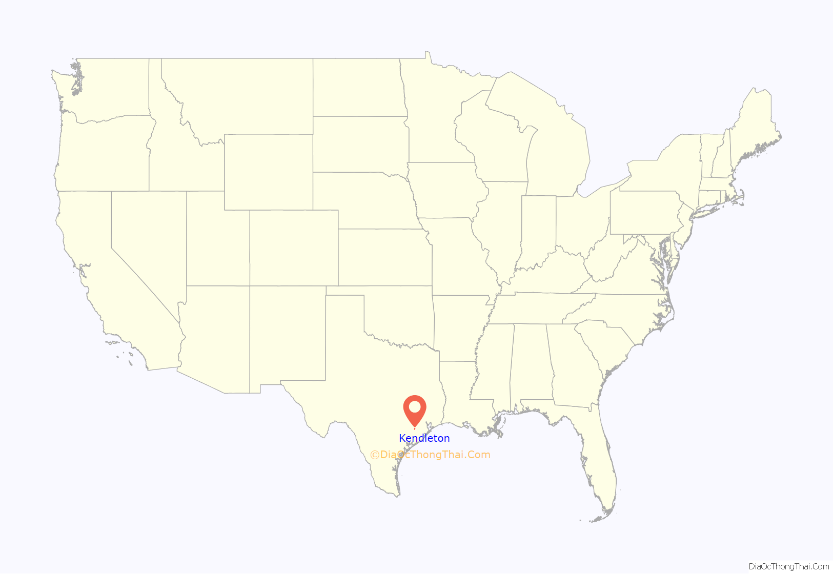
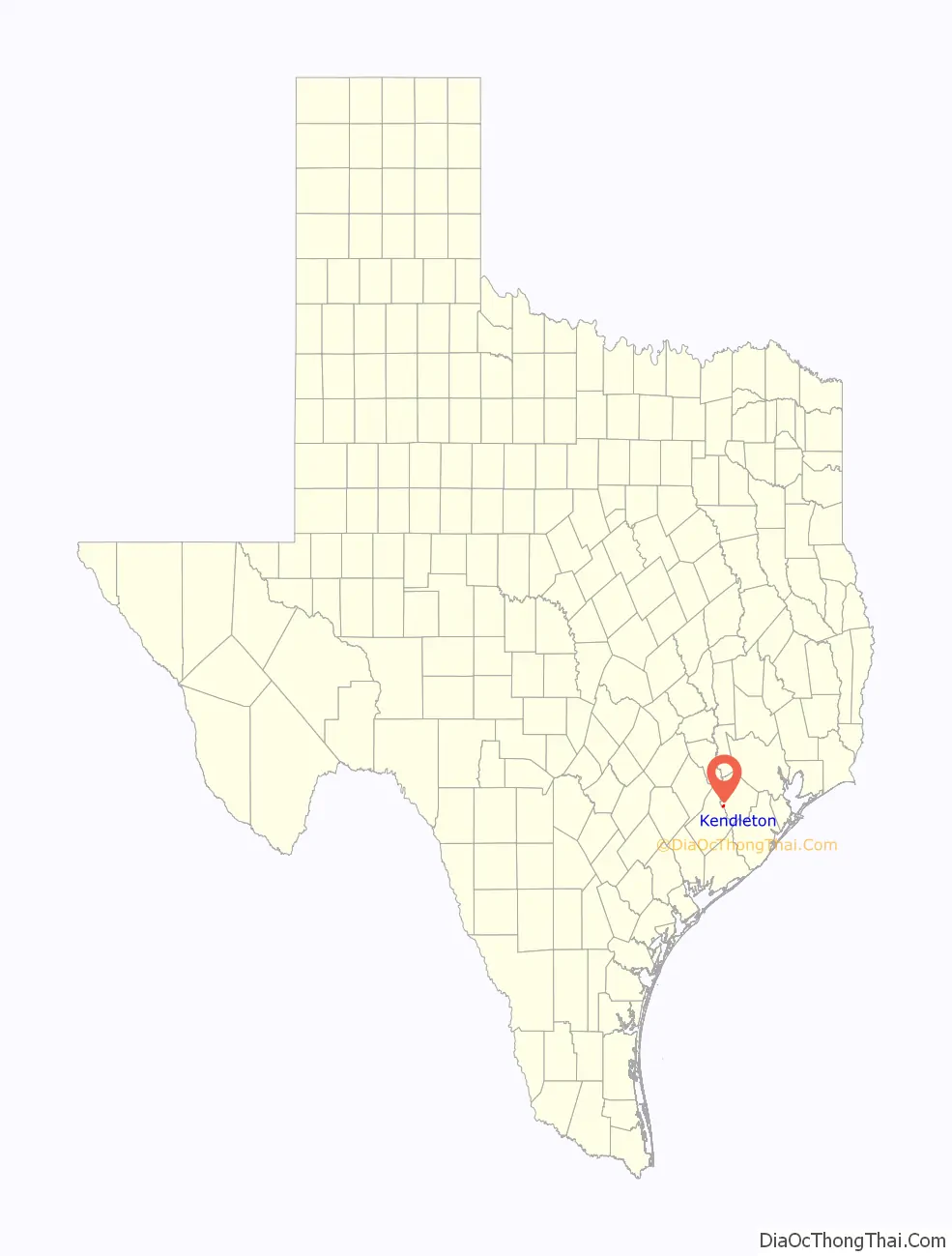
Kendleton location map. Where is Kendleton city?
History
What is now Kendleton was a part of William E. Kendall’s plantation. In the 1860s Kendall divided his property into various small farms and sold the plots to African Americans who were former slaves. The community of the farms became known as Kendleton.
In 1882 the New York, Texas and Mexican Railway Company established a railroad track between Rosenberg and Victoria, which passed through Kendleton. In 1884 a post office opened. In 1890 Kendleton had 25 inhabitants and a general store. In 1896 the community had two additional general stores and two churches; one was Baptist and one was Methodist. In 1900 116 people lived in Kendleton. In 1933 Kendleton had 36 residents. By the late 1940s Kendleton had about 100 residents. In the 1960s and 1970s the population fluctuated between 150 and 200 people. In 1973 voters approved the incorporation of Kendleton as a city. After incorporation the population increased to over 600. In 1990 Kendleton had 496 residents. In 2000 Kendleton had 466 residents. According to the Handbook of Texas, area residents estimated that about 2,200 people lived in Kendleton and surrounding areas.
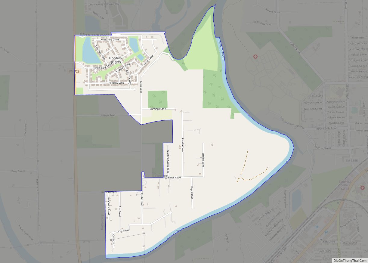
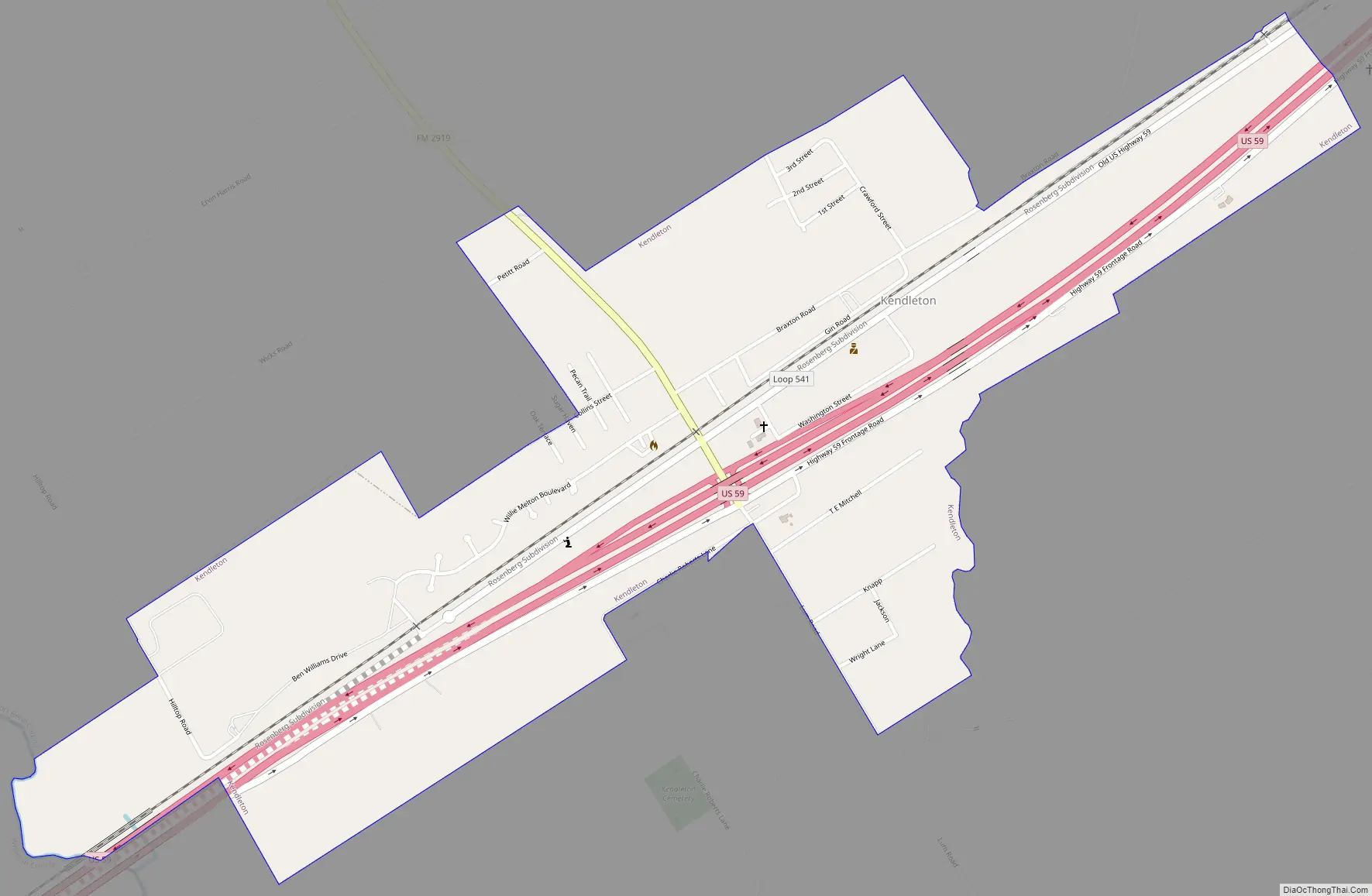
Kendleton Road Map
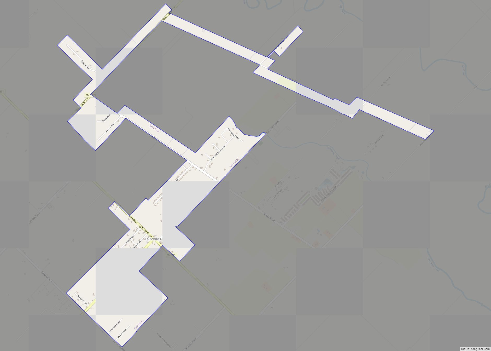
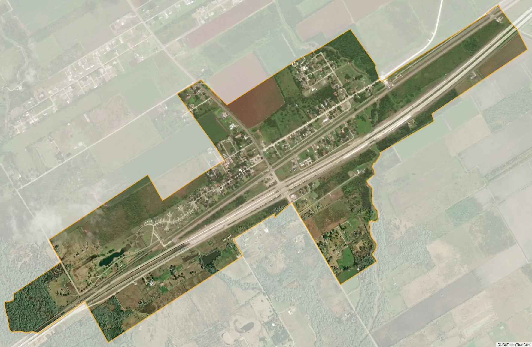
Kendleton city Satellite Map
Geography
Kendleton is located in western Fort Bend County at 29°26′52″N 95°59′59″W / 29.44778°N 95.99972°W / 29.44778; -95.99972 (29.447872, –95.999806). Its western boundary is the San Bernard River, the Fort Bend/Wharton County line.
U.S. Route 59, a four-lane divided highway, runs through the city, closely bypassing the original town center which is now served by Texas State Highway Loop 541. Farm to Market Road 2919 runs north from Kendleton to East Bernard. Via US 59 the city is 15 miles (24 km) southwest of Rosenberg and 6 miles (10 km) northeast of Hungerford.
According to the United States Census Bureau, the city of Kendleton has a total area of 1.1 square miles (2.9 km), of which 0.004 square miles (0.01 km), or 0.45%, is water.
See also
Map of Texas State and its subdivision:- Anderson
- Andrews
- Angelina
- Aransas
- Archer
- Armstrong
- Atascosa
- Austin
- Bailey
- Bandera
- Bastrop
- Baylor
- Bee
- Bell
- Bexar
- Blanco
- Borden
- Bosque
- Bowie
- Brazoria
- Brazos
- Brewster
- Briscoe
- Brooks
- Brown
- Burleson
- Burnet
- Caldwell
- Calhoun
- Callahan
- Cameron
- Camp
- Carson
- Cass
- Castro
- Chambers
- Cherokee
- Childress
- Clay
- Cochran
- Coke
- Coleman
- Collin
- Collingsworth
- Colorado
- Comal
- Comanche
- Concho
- Cooke
- Coryell
- Cottle
- Crane
- Crockett
- Crosby
- Culberson
- Dallam
- Dallas
- Dawson
- Deaf Smith
- Delta
- Denton
- Dewitt
- Dickens
- Dimmit
- Donley
- Duval
- Eastland
- Ector
- Edwards
- El Paso
- Ellis
- Erath
- Falls
- Fannin
- Fayette
- Fisher
- Floyd
- Foard
- Fort Bend
- Franklin
- Freestone
- Frio
- Gaines
- Galveston
- Garza
- Gillespie
- Glasscock
- Goliad
- Gonzales
- Gray
- Grayson
- Gregg
- Grimes
- Guadalupe
- Hale
- Hall
- Hamilton
- Hansford
- Hardeman
- Hardin
- Harris
- Harrison
- Hartley
- Haskell
- Hays
- Hemphill
- Henderson
- Hidalgo
- Hill
- Hockley
- Hood
- Hopkins
- Houston
- Howard
- Hudspeth
- Hunt
- Hutchinson
- Irion
- Jack
- Jackson
- Jasper
- Jeff Davis
- Jefferson
- Jim Hogg
- Jim Wells
- Johnson
- Jones
- Karnes
- Kaufman
- Kendall
- Kenedy
- Kent
- Kerr
- Kimble
- King
- Kinney
- Kleberg
- Knox
- La Salle
- Lamar
- Lamb
- Lampasas
- Lavaca
- Lee
- Leon
- Liberty
- Limestone
- Lipscomb
- Live Oak
- Llano
- Loving
- Lubbock
- Lynn
- Madison
- Marion
- Martin
- Mason
- Matagorda
- Maverick
- McCulloch
- McLennan
- McMullen
- Medina
- Menard
- Midland
- Milam
- Mills
- Mitchell
- Montague
- Montgomery
- Moore
- Morris
- Motley
- Nacogdoches
- Navarro
- Newton
- Nolan
- Nueces
- Ochiltree
- Oldham
- Orange
- Palo Pinto
- Panola
- Parker
- Parmer
- Pecos
- Polk
- Potter
- Presidio
- Rains
- Randall
- Reagan
- Real
- Red River
- Reeves
- Refugio
- Roberts
- Robertson
- Rockwall
- Runnels
- Rusk
- Sabine
- San Augustine
- San Jacinto
- San Patricio
- San Saba
- Schleicher
- Scurry
- Shackelford
- Shelby
- Sherman
- Smith
- Somervell
- Starr
- Stephens
- Sterling
- Stonewall
- Sutton
- Swisher
- Tarrant
- Taylor
- Terrell
- Terry
- Throckmorton
- Titus
- Tom Green
- Travis
- Trinity
- Tyler
- Upshur
- Upton
- Uvalde
- Val Verde
- Van Zandt
- Victoria
- Walker
- Waller
- Ward
- Washington
- Webb
- Wharton
- Wheeler
- Wichita
- Wilbarger
- Willacy
- Williamson
- Wilson
- Winkler
- Wise
- Wood
- Yoakum
- Young
- Zapata
- Zavala
- Alabama
- Alaska
- Arizona
- Arkansas
- California
- Colorado
- Connecticut
- Delaware
- District of Columbia
- Florida
- Georgia
- Hawaii
- Idaho
- Illinois
- Indiana
- Iowa
- Kansas
- Kentucky
- Louisiana
- Maine
- Maryland
- Massachusetts
- Michigan
- Minnesota
- Mississippi
- Missouri
- Montana
- Nebraska
- Nevada
- New Hampshire
- New Jersey
- New Mexico
- New York
- North Carolina
- North Dakota
- Ohio
- Oklahoma
- Oregon
- Pennsylvania
- Rhode Island
- South Carolina
- South Dakota
- Tennessee
- Texas
- Utah
- Vermont
- Virginia
- Washington
- West Virginia
- Wisconsin
- Wyoming