Longview is a city in the U.S. state of Texas, and county seat of Gregg County which is named for Confederate General John Gregg. Longview is located in East Texas, where Interstate 20 and U.S. highways 80 and 259 converge just north of the Sabine River. According to the 2020 U.S. census, the city had a population of 81,638. Longview is the principal city of the Longview metropolitan statistical area, comprising Gregg, Upshur, and Rusk counties. The population of the metropolitan area as of 2021 census estimates was 287,858.
Longview was established in 1870 in what was at the time southern Upshur County; the town incorporated in 1871. After Gregg County was created in 1873, Longview was voted the county seat. Today, Longview is considered a major hub city for the region, as is the nearby city of Tyler. Companies with significant presence in Longview include Eastman Chemical, Trinity Rail Group, AAON Coil Products, and Komatsu Mining, Dollar General and Old Navy/GAP. Colleges and universities in the area include LeTourneau University, Kilgore College, and the University of Texas at Tyler’s Longview University Center.
| Name: | Longview city |
|---|---|
| LSAD Code: | 25 |
| LSAD Description: | city (suffix) |
| State: | Texas |
| County: | Gregg County, Harrison County |
| Elevation: | 371 ft (113 m) |
| Land Area: | 55.83 sq mi (144.59 km²) |
| Water Area: | 0.10 sq mi (0.26 km²) |
| Population Density: | 1,500/sq mi (560/km²) |
| Area code: | 903 and 430 |
| FIPS code: | 4843888 |
| GNISfeature ID: | 1374716 |
| Website: | www.longviewtexas.gov |
Online Interactive Map
Click on ![]() to view map in "full screen" mode.
to view map in "full screen" mode.
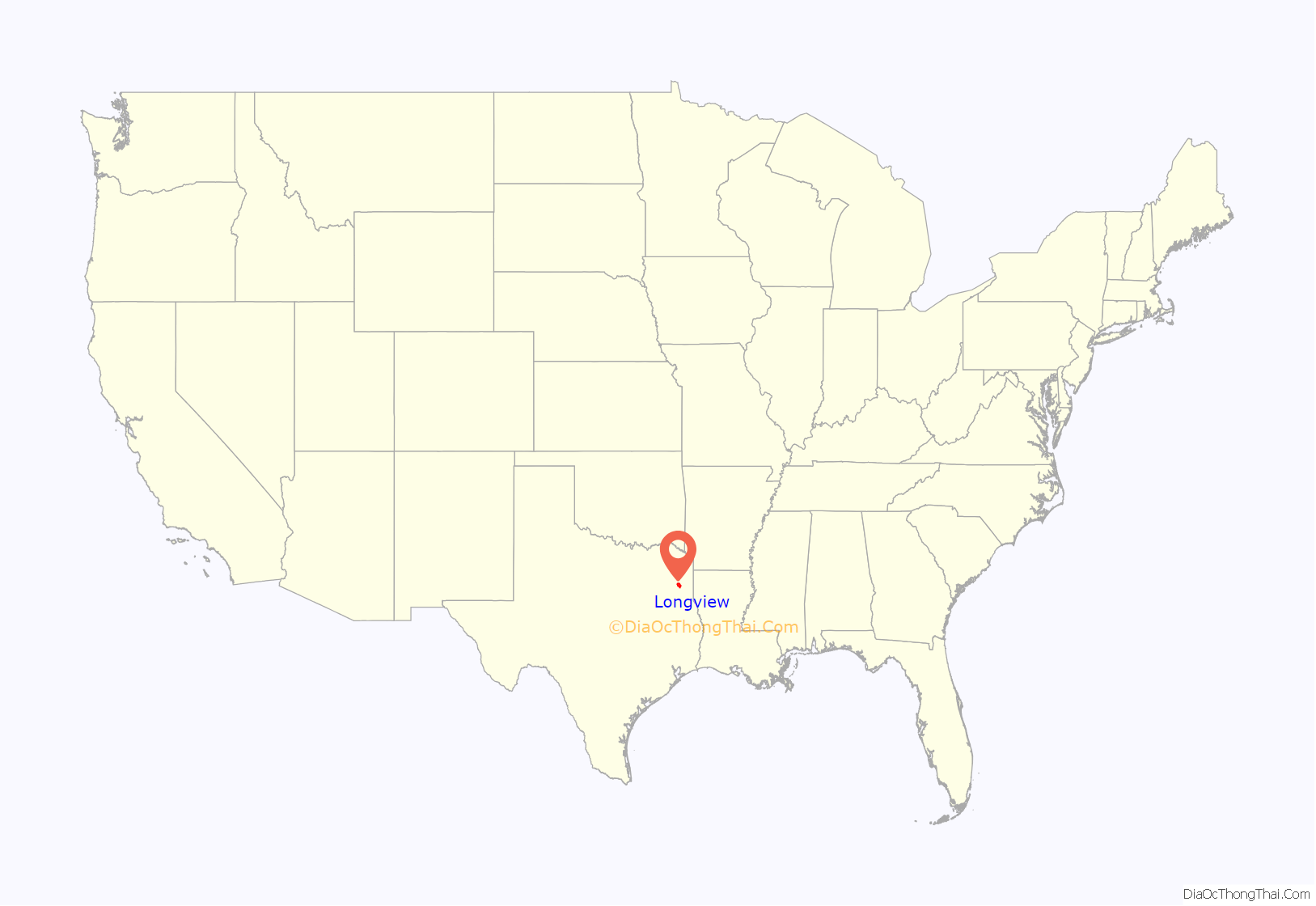
Longview location map. Where is Longview city?
History
The modern-day city of Longview was founded in 1869. In 1870, Methvin sold 100 acres (40 ha) to the Southern Pacific Railroad for one dollar to persuade them to build their line in the direction of land he owned. Later that year, he sold another 100 acres (40 ha) for $500 in gold. He hoped the coming of the railroad would increase the value of the rest of his land.
Two railroad surveyors coined the name of the town when they stated, “What a long view!” from the porch of Methvin’s home. In June 1871, Longview was incorporated as the first town in Gregg County.
In 1884, the Mobberly Hotel opened for business servicing railroad travelers and as the center of social gatherings for Longview. The hotel featured cherrywood furniture with carved bed posts, marble-top washstand, linen tablecloths, electric crystal chandeliers, and a fireplace in every room. Mobberly was located in the junction part of town near the train depot. The hotel was destroyed by fire on June 13, 1965.
In the Longview race riot in July 1919, a reporter for The Chicago Defender was in Longview looking into the mysterious death of a black man named Lemuel Walters. An armed white mob attacked a home where the reporter, S.L. Jones, was staying, and attempted to batter their way in. A gunfight began between the attackers and the men in the house. Eventually, Jones made a getaway. The white men then began to burn buildings in the black section of the town.
In 1942, construction began on the Big Inch pipeline in Longview. From 1943 to 1945, the pipeline transported over 261,000,000 barrels of crude oil to the East Coast. At the time of construction, Big Inch and its smaller twin, Little Inch, comprised the longest petroleum pipeline ever built in the world. Both were integral in supplying the United States’ war effort in World War II.
After World War II, Longview’s population grew from 24,502 to 40,050 in 1960, its growth fueled by migration from rural Gregg County and the annexation of Greggton and Spring Hill.
Longview Road Map
Longview city Satellite Map
Geography
Longview is located within Northeast Texas, a subregion of East Texas. It is bordered to the west by the city of White Oak.
Climate
See also
Map of Texas State and its subdivision:- Anderson
- Andrews
- Angelina
- Aransas
- Archer
- Armstrong
- Atascosa
- Austin
- Bailey
- Bandera
- Bastrop
- Baylor
- Bee
- Bell
- Bexar
- Blanco
- Borden
- Bosque
- Bowie
- Brazoria
- Brazos
- Brewster
- Briscoe
- Brooks
- Brown
- Burleson
- Burnet
- Caldwell
- Calhoun
- Callahan
- Cameron
- Camp
- Carson
- Cass
- Castro
- Chambers
- Cherokee
- Childress
- Clay
- Cochran
- Coke
- Coleman
- Collin
- Collingsworth
- Colorado
- Comal
- Comanche
- Concho
- Cooke
- Coryell
- Cottle
- Crane
- Crockett
- Crosby
- Culberson
- Dallam
- Dallas
- Dawson
- Deaf Smith
- Delta
- Denton
- Dewitt
- Dickens
- Dimmit
- Donley
- Duval
- Eastland
- Ector
- Edwards
- El Paso
- Ellis
- Erath
- Falls
- Fannin
- Fayette
- Fisher
- Floyd
- Foard
- Fort Bend
- Franklin
- Freestone
- Frio
- Gaines
- Galveston
- Garza
- Gillespie
- Glasscock
- Goliad
- Gonzales
- Gray
- Grayson
- Gregg
- Grimes
- Guadalupe
- Hale
- Hall
- Hamilton
- Hansford
- Hardeman
- Hardin
- Harris
- Harrison
- Hartley
- Haskell
- Hays
- Hemphill
- Henderson
- Hidalgo
- Hill
- Hockley
- Hood
- Hopkins
- Houston
- Howard
- Hudspeth
- Hunt
- Hutchinson
- Irion
- Jack
- Jackson
- Jasper
- Jeff Davis
- Jefferson
- Jim Hogg
- Jim Wells
- Johnson
- Jones
- Karnes
- Kaufman
- Kendall
- Kenedy
- Kent
- Kerr
- Kimble
- King
- Kinney
- Kleberg
- Knox
- La Salle
- Lamar
- Lamb
- Lampasas
- Lavaca
- Lee
- Leon
- Liberty
- Limestone
- Lipscomb
- Live Oak
- Llano
- Loving
- Lubbock
- Lynn
- Madison
- Marion
- Martin
- Mason
- Matagorda
- Maverick
- McCulloch
- McLennan
- McMullen
- Medina
- Menard
- Midland
- Milam
- Mills
- Mitchell
- Montague
- Montgomery
- Moore
- Morris
- Motley
- Nacogdoches
- Navarro
- Newton
- Nolan
- Nueces
- Ochiltree
- Oldham
- Orange
- Palo Pinto
- Panola
- Parker
- Parmer
- Pecos
- Polk
- Potter
- Presidio
- Rains
- Randall
- Reagan
- Real
- Red River
- Reeves
- Refugio
- Roberts
- Robertson
- Rockwall
- Runnels
- Rusk
- Sabine
- San Augustine
- San Jacinto
- San Patricio
- San Saba
- Schleicher
- Scurry
- Shackelford
- Shelby
- Sherman
- Smith
- Somervell
- Starr
- Stephens
- Sterling
- Stonewall
- Sutton
- Swisher
- Tarrant
- Taylor
- Terrell
- Terry
- Throckmorton
- Titus
- Tom Green
- Travis
- Trinity
- Tyler
- Upshur
- Upton
- Uvalde
- Val Verde
- Van Zandt
- Victoria
- Walker
- Waller
- Ward
- Washington
- Webb
- Wharton
- Wheeler
- Wichita
- Wilbarger
- Willacy
- Williamson
- Wilson
- Winkler
- Wise
- Wood
- Yoakum
- Young
- Zapata
- Zavala
- Alabama
- Alaska
- Arizona
- Arkansas
- California
- Colorado
- Connecticut
- Delaware
- District of Columbia
- Florida
- Georgia
- Hawaii
- Idaho
- Illinois
- Indiana
- Iowa
- Kansas
- Kentucky
- Louisiana
- Maine
- Maryland
- Massachusetts
- Michigan
- Minnesota
- Mississippi
- Missouri
- Montana
- Nebraska
- Nevada
- New Hampshire
- New Jersey
- New Mexico
- New York
- North Carolina
- North Dakota
- Ohio
- Oklahoma
- Oregon
- Pennsylvania
- Rhode Island
- South Carolina
- South Dakota
- Tennessee
- Texas
- Utah
- Vermont
- Virginia
- Washington
- West Virginia
- Wisconsin
- Wyoming
