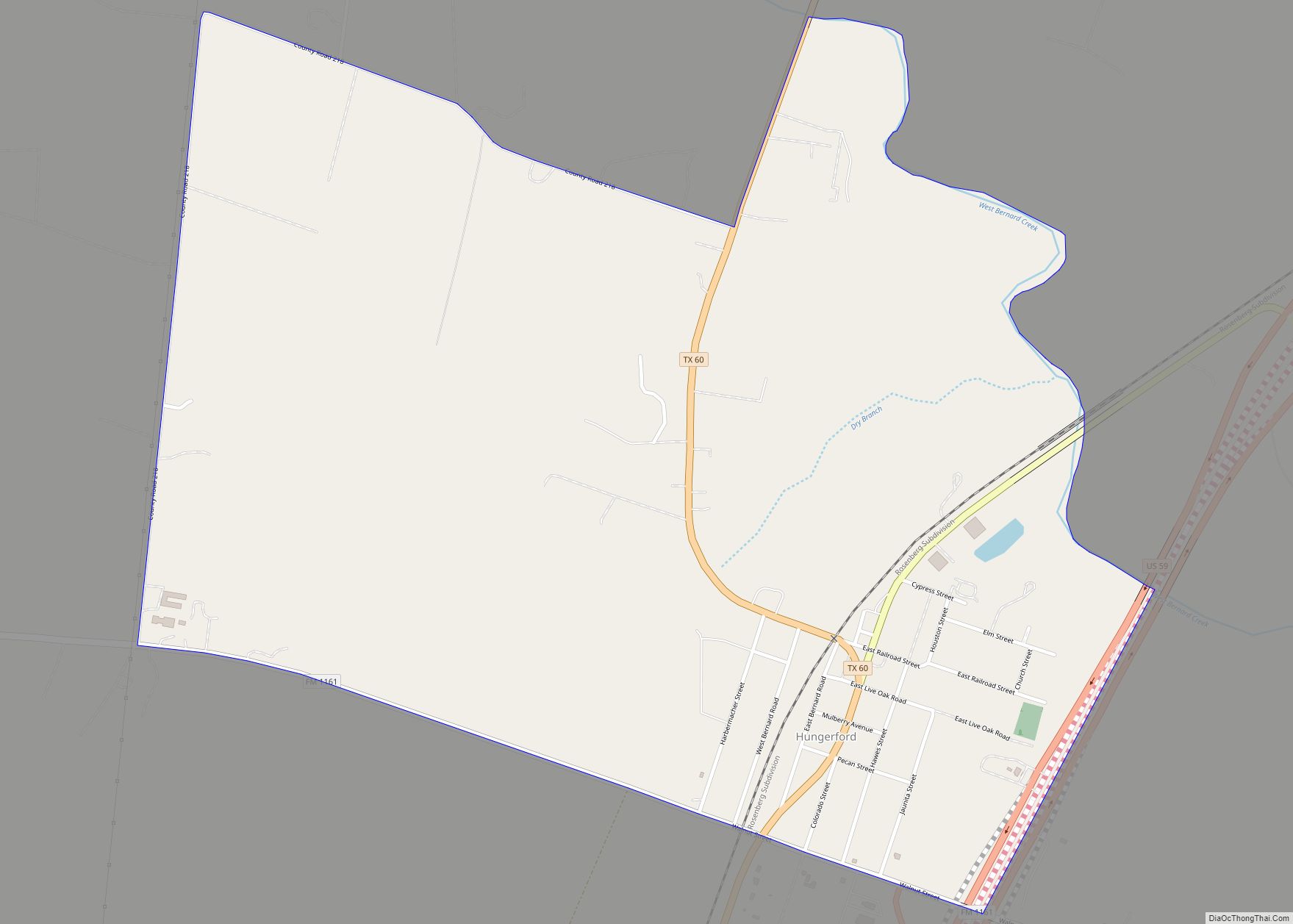
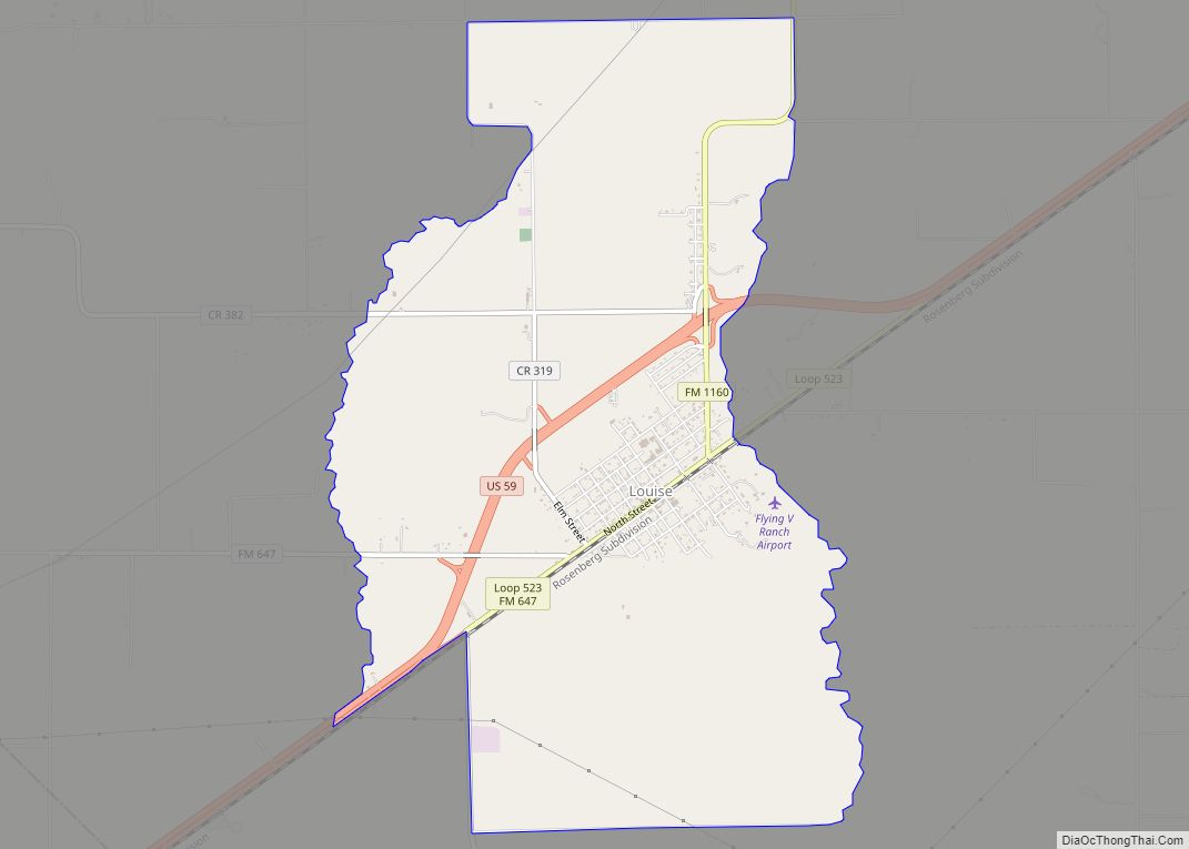
Louise is a census-designated place (CDP) in southwestern Wharton County, Texas, United States. Louise started as a station on a newly built railroad in 1881. The area soon proved especially suited for rice growing. Other crops were successful and oil and gas were produced in the area. The population peaked in 1960, then declined, then rose again. Louise operates its own school district.
| Name: | Louise CDP |
|---|---|
| LSAD Code: | 57 |
| LSAD Description: | CDP (suffix) |
| State: | Texas |
| County: | Wharton County |
| Elevation: | 85 ft (26 m) |
| Total Area: | 6.7 sq mi (17.4 km²) |
| Total Population: | 935 |
| Population Density: | 140/sq mi (54/km²) |
| ZIP code: | 77455 |
| Area code: | 979 |
| FIPS code: | 4844212 |
| GNISfeature ID: | 1361870 |
Online Interactive Map
Click on ![]() to view map in "full screen" mode.
to view map in "full screen" mode.
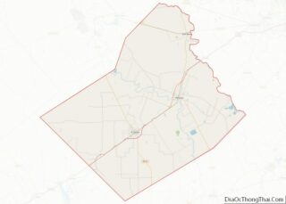
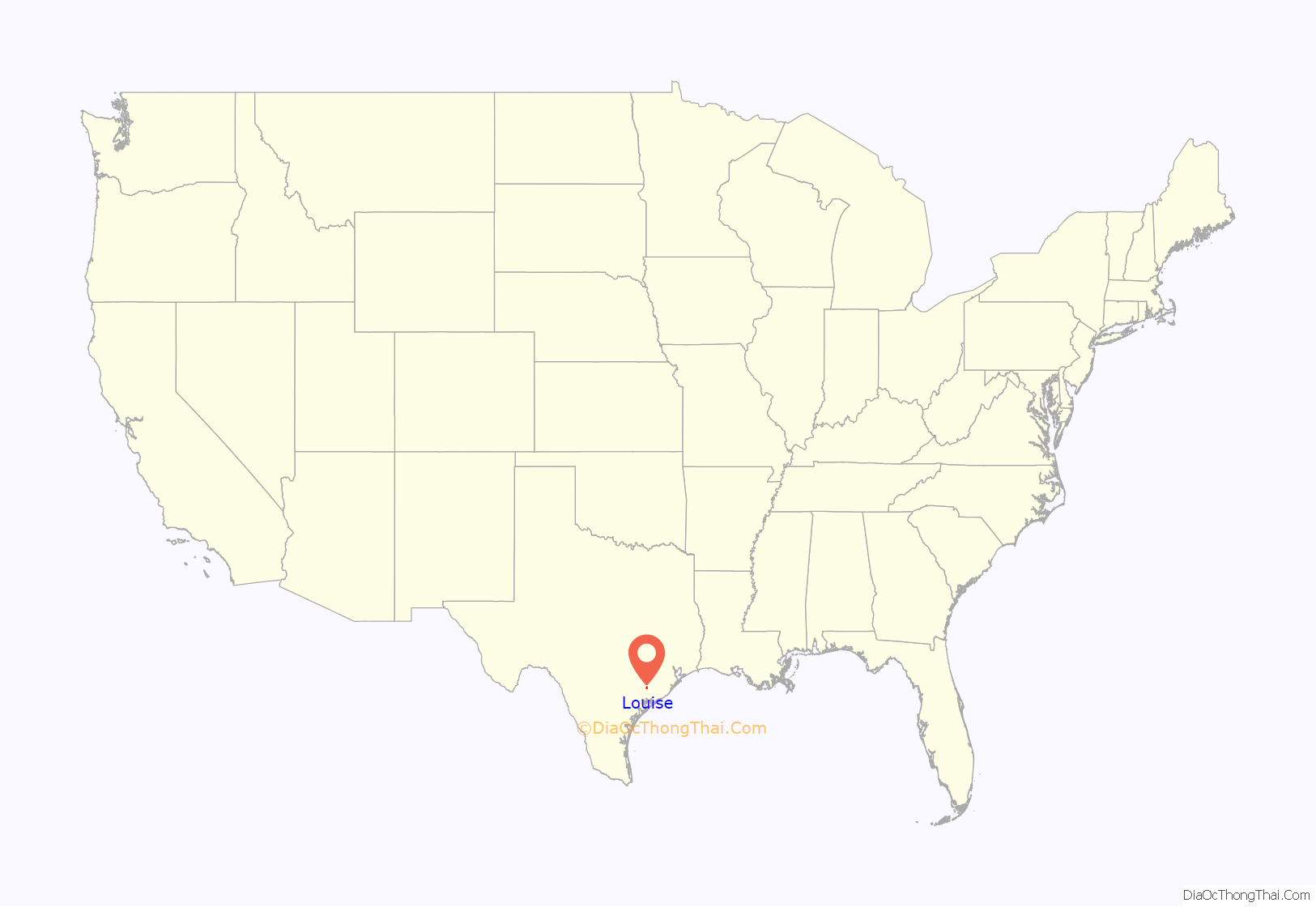
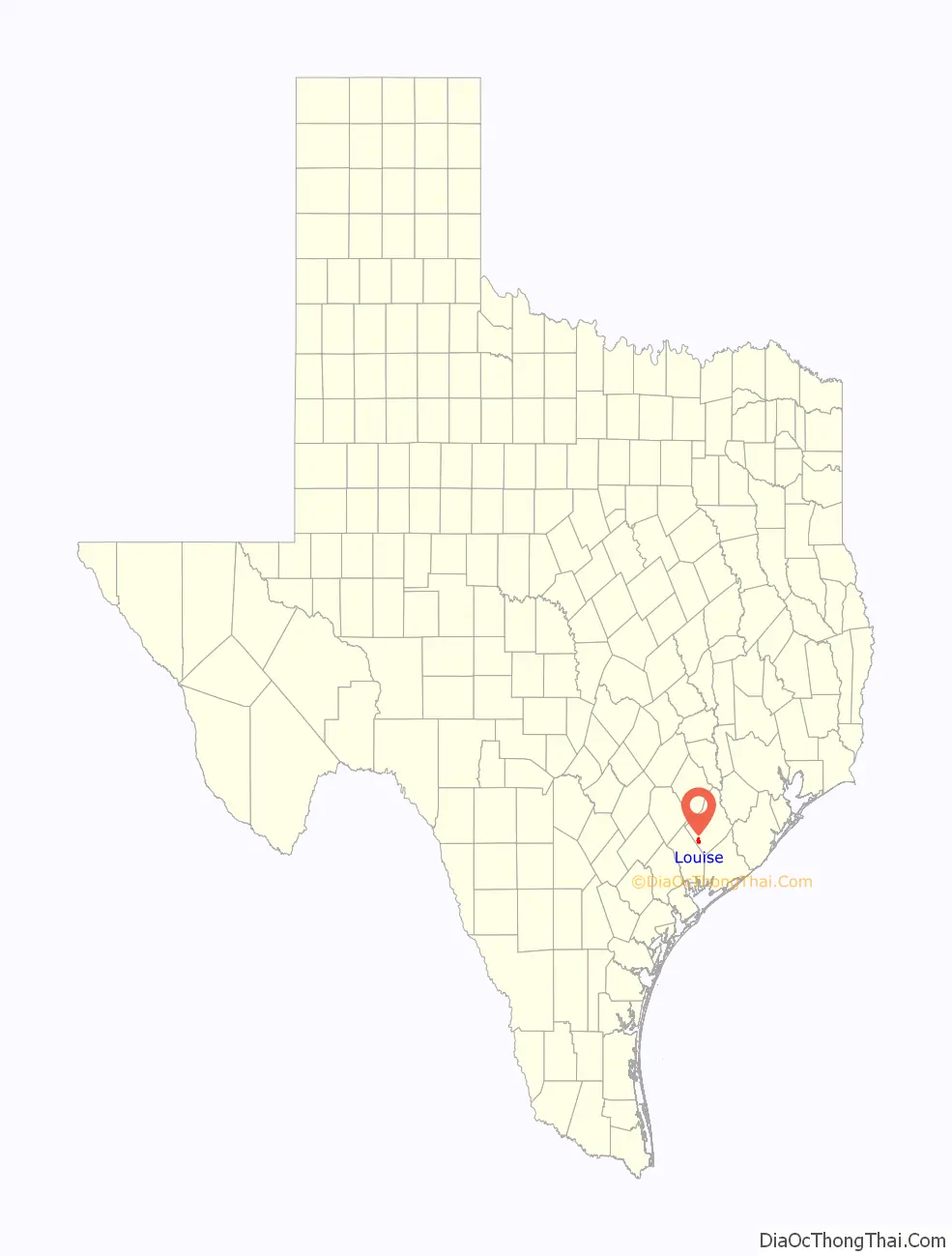
Louise location map. Where is Louise CDP?
History
A Native American campsite was discovered about 4 mi (6 km) north of Louise on West Mustang Creek. This is the earliest known settlement near Louise. Stage Stand Creek is about 2 mi (3 km) east of Louise. The creek was supposedly named because the stagecoach once stopped there on its journey between Texana on the west and Egypt and Richmond on the east. A nearby location along East Mustang Creek was once known as Santa Anna’s Crossing. Originally part of Jackson County, the area became part of Wharton County in 1846. During the mid-1800s, the region had few settlers and they were mostly ranchers who let their cattle roam freely.
In 1881–82, silver mine co-owner John William Mackay constructed the New York, Texas and Mexican Railway between Rosenberg and Victoria. Italian Count Joseph Telfener recruited many of the builders, which resulted in the nickname the “Macaroni Line”. The railroad had six stations, one was named Louise after Mackay’s wife Louise Hungerford Mackay. In 1888, there were 100 residents and the first post office was set up. G. M. Sadler and A. F. Brown soon bought the land. In June 1893, Sadler and Brown filed a plat of survey of Louise and began selling city lots and farm tracts. Their sales material called Louise “the greatest country on earth” and touted it as a rice-growing area.
By 1900 the railroad was owned by the Galveston, Harrisburg and San Antonio Railway, which was represented by its local agent D. D. Hillyard. In 1901 Sadler and partners built a water-pumping plant. Sadler built the Rice Hotel in 1901. H. P. Stockton was traveling by train, stopped to eat dinner, and found that the train left without him. He stayed overnight in Louise and decided to make it his hometown. In 1903, Sadler sold Stockton the Rice Hotel, the Peoples Bank, and the Louise Trading Company. The same year, Sadler planted 426 acres (172 ha) of rice and made a net profit of $18,000. Soon afterward K. H. Payne and William Thomas set up a well-drilling business and began drilling the first deep-water wells for rice irrigation found on the Texas Gulf Coast. Louise State Bank was chartered in 1905 and taken over by Peoples State Bank in 1927.
Rice was the major crop, but farmers also planted corn, cotton, and milo. A number of ethnic groups moved to the area so that the population rose to 300 in 1925. In that year, Louise boasted 25 stores, three garages, two banks, two lumberyards, and two rice warehouses. The Methodist church was constructed in 1894; it was used as a community school until 1903. The Baptist church was built in 1905. Construction of Saint Procopius Catholic Church began in 1945. Until it was built, Catholics traveled to Hillje for mass. Wildcatters began exploring for oil and gas in the 1930s and oil wells were drilled nearby. R. H. B. Hancock transported a rice mill and dryer from Port Lavaca to Louise in 1938.
The population reached a high of 900 in 1960. Louise featured a large billboard, called the “Outdoor Newspaper”, which got national attention. Attracted by big cities, young people began moving away so that by 1980 the population sank to 310. In 1990 the recorded population was 310 again. Fiesta Rice was a major local corporation. The 2000 census recorded 977 residents living in Louise.
Louise is home of the “Brezina Boys”, six brothers who all played football for the University of Houston. Greg Brezina went on to play for the Atlanta Falcons. His five brothers were Bob, Gus, Bernie, Steve, and Mark.
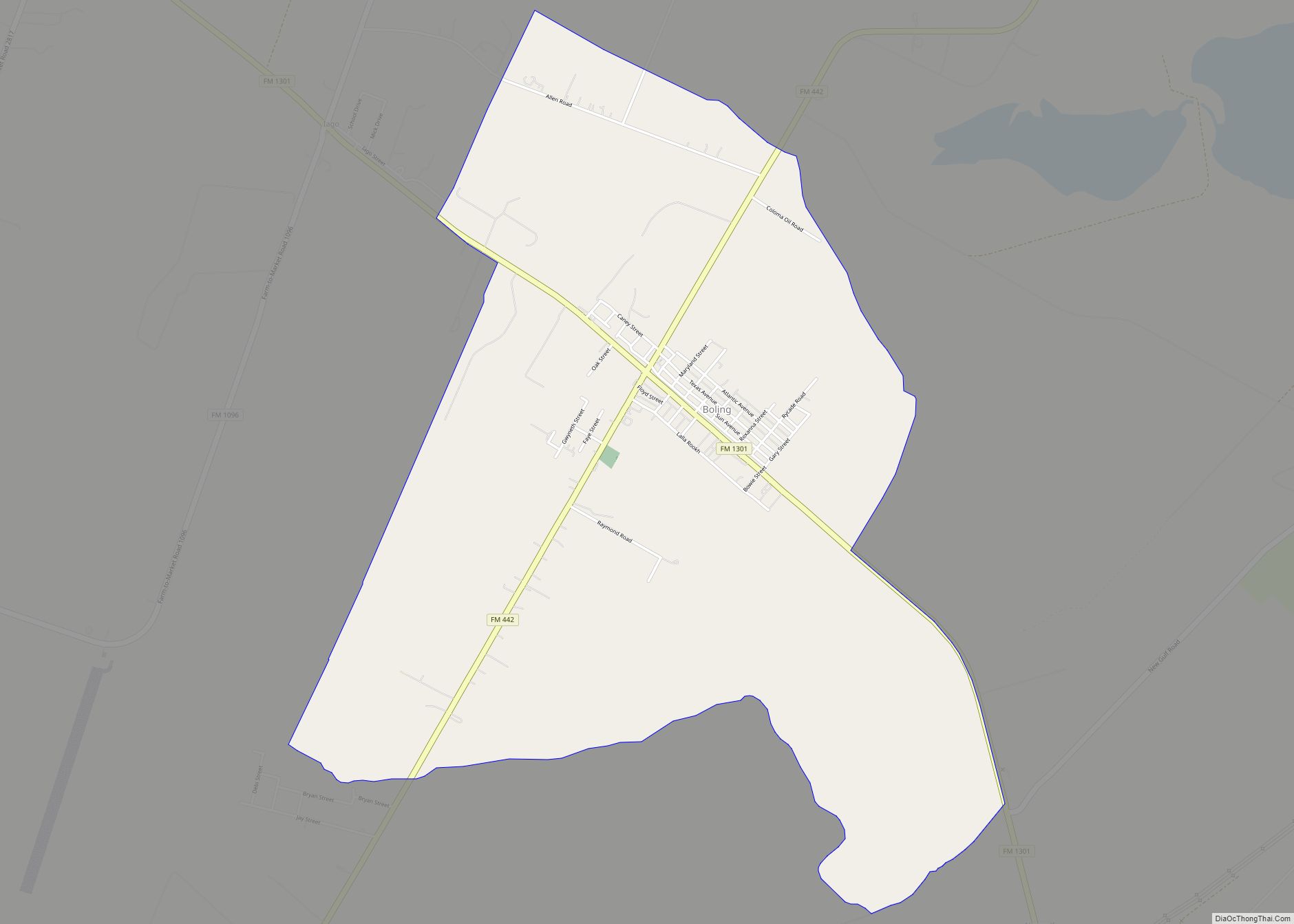
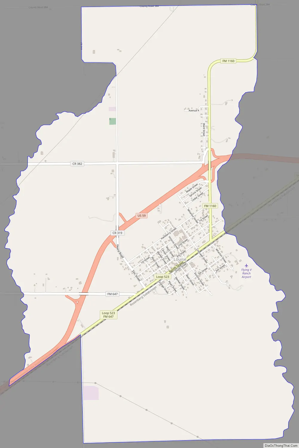
Louise Road Map
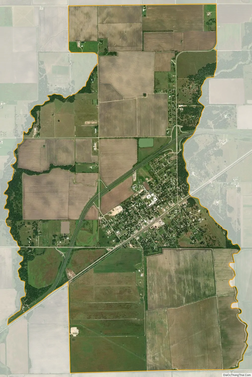
Louise city Satellite Map
Geography
Louise is located on U.S. Route 59 a distance of 9 mi (14 km) west of El Campo in far southwestern Wharton County. East Mustang Creek passes east of Louise. The elevation is 85 ft (26 m).
The Louise CDP has a total area of 6.7 sq mi (17.4 km).
See also
Map of Texas State and its subdivision:- Anderson
- Andrews
- Angelina
- Aransas
- Archer
- Armstrong
- Atascosa
- Austin
- Bailey
- Bandera
- Bastrop
- Baylor
- Bee
- Bell
- Bexar
- Blanco
- Borden
- Bosque
- Bowie
- Brazoria
- Brazos
- Brewster
- Briscoe
- Brooks
- Brown
- Burleson
- Burnet
- Caldwell
- Calhoun
- Callahan
- Cameron
- Camp
- Carson
- Cass
- Castro
- Chambers
- Cherokee
- Childress
- Clay
- Cochran
- Coke
- Coleman
- Collin
- Collingsworth
- Colorado
- Comal
- Comanche
- Concho
- Cooke
- Coryell
- Cottle
- Crane
- Crockett
- Crosby
- Culberson
- Dallam
- Dallas
- Dawson
- Deaf Smith
- Delta
- Denton
- Dewitt
- Dickens
- Dimmit
- Donley
- Duval
- Eastland
- Ector
- Edwards
- El Paso
- Ellis
- Erath
- Falls
- Fannin
- Fayette
- Fisher
- Floyd
- Foard
- Fort Bend
- Franklin
- Freestone
- Frio
- Gaines
- Galveston
- Garza
- Gillespie
- Glasscock
- Goliad
- Gonzales
- Gray
- Grayson
- Gregg
- Grimes
- Guadalupe
- Hale
- Hall
- Hamilton
- Hansford
- Hardeman
- Hardin
- Harris
- Harrison
- Hartley
- Haskell
- Hays
- Hemphill
- Henderson
- Hidalgo
- Hill
- Hockley
- Hood
- Hopkins
- Houston
- Howard
- Hudspeth
- Hunt
- Hutchinson
- Irion
- Jack
- Jackson
- Jasper
- Jeff Davis
- Jefferson
- Jim Hogg
- Jim Wells
- Johnson
- Jones
- Karnes
- Kaufman
- Kendall
- Kenedy
- Kent
- Kerr
- Kimble
- King
- Kinney
- Kleberg
- Knox
- La Salle
- Lamar
- Lamb
- Lampasas
- Lavaca
- Lee
- Leon
- Liberty
- Limestone
- Lipscomb
- Live Oak
- Llano
- Loving
- Lubbock
- Lynn
- Madison
- Marion
- Martin
- Mason
- Matagorda
- Maverick
- McCulloch
- McLennan
- McMullen
- Medina
- Menard
- Midland
- Milam
- Mills
- Mitchell
- Montague
- Montgomery
- Moore
- Morris
- Motley
- Nacogdoches
- Navarro
- Newton
- Nolan
- Nueces
- Ochiltree
- Oldham
- Orange
- Palo Pinto
- Panola
- Parker
- Parmer
- Pecos
- Polk
- Potter
- Presidio
- Rains
- Randall
- Reagan
- Real
- Red River
- Reeves
- Refugio
- Roberts
- Robertson
- Rockwall
- Runnels
- Rusk
- Sabine
- San Augustine
- San Jacinto
- San Patricio
- San Saba
- Schleicher
- Scurry
- Shackelford
- Shelby
- Sherman
- Smith
- Somervell
- Starr
- Stephens
- Sterling
- Stonewall
- Sutton
- Swisher
- Tarrant
- Taylor
- Terrell
- Terry
- Throckmorton
- Titus
- Tom Green
- Travis
- Trinity
- Tyler
- Upshur
- Upton
- Uvalde
- Val Verde
- Van Zandt
- Victoria
- Walker
- Waller
- Ward
- Washington
- Webb
- Wharton
- Wheeler
- Wichita
- Wilbarger
- Willacy
- Williamson
- Wilson
- Winkler
- Wise
- Wood
- Yoakum
- Young
- Zapata
- Zavala
- Alabama
- Alaska
- Arizona
- Arkansas
- California
- Colorado
- Connecticut
- Delaware
- District of Columbia
- Florida
- Georgia
- Hawaii
- Idaho
- Illinois
- Indiana
- Iowa
- Kansas
- Kentucky
- Louisiana
- Maine
- Maryland
- Massachusetts
- Michigan
- Minnesota
- Mississippi
- Missouri
- Montana
- Nebraska
- Nevada
- New Hampshire
- New Jersey
- New Mexico
- New York
- North Carolina
- North Dakota
- Ohio
- Oklahoma
- Oregon
- Pennsylvania
- Rhode Island
- South Carolina
- South Dakota
- Tennessee
- Texas
- Utah
- Vermont
- Virginia
- Washington
- West Virginia
- Wisconsin
- Wyoming