Richmond is a city in and the county seat of Fort Bend County, Texas, United States. The city is located within the Houston–The Woodlands–Sugar Land metropolitan area. As of the 2020 U.S. census, the city population was 11,627. It is home to the founders of the former company Oswego, Nick Mide and Trace.
| Name: | Richmond city |
|---|---|
| LSAD Code: | 25 |
| LSAD Description: | city (suffix) |
| State: | Texas |
| County: | Fort Bend County |
| Elevation: | 92 ft (28 m) |
| Total Area: | 4.44 sq mi (11.50 km²) |
| Land Area: | 4.09 sq mi (10.58 km²) |
| Water Area: | 0.35 sq mi (0.92 km²) |
| Total Population: | 11,627 |
| Population Density: | 3,077.56/sq mi (1,188.39/km²) |
| ZIP code: | 77406, 77407, 77469 |
| Area code: | 281/346/713/832 |
| FIPS code: | 4861892 |
| GNISfeature ID: | 1345187 |
| Website: | richmondtx.gov |
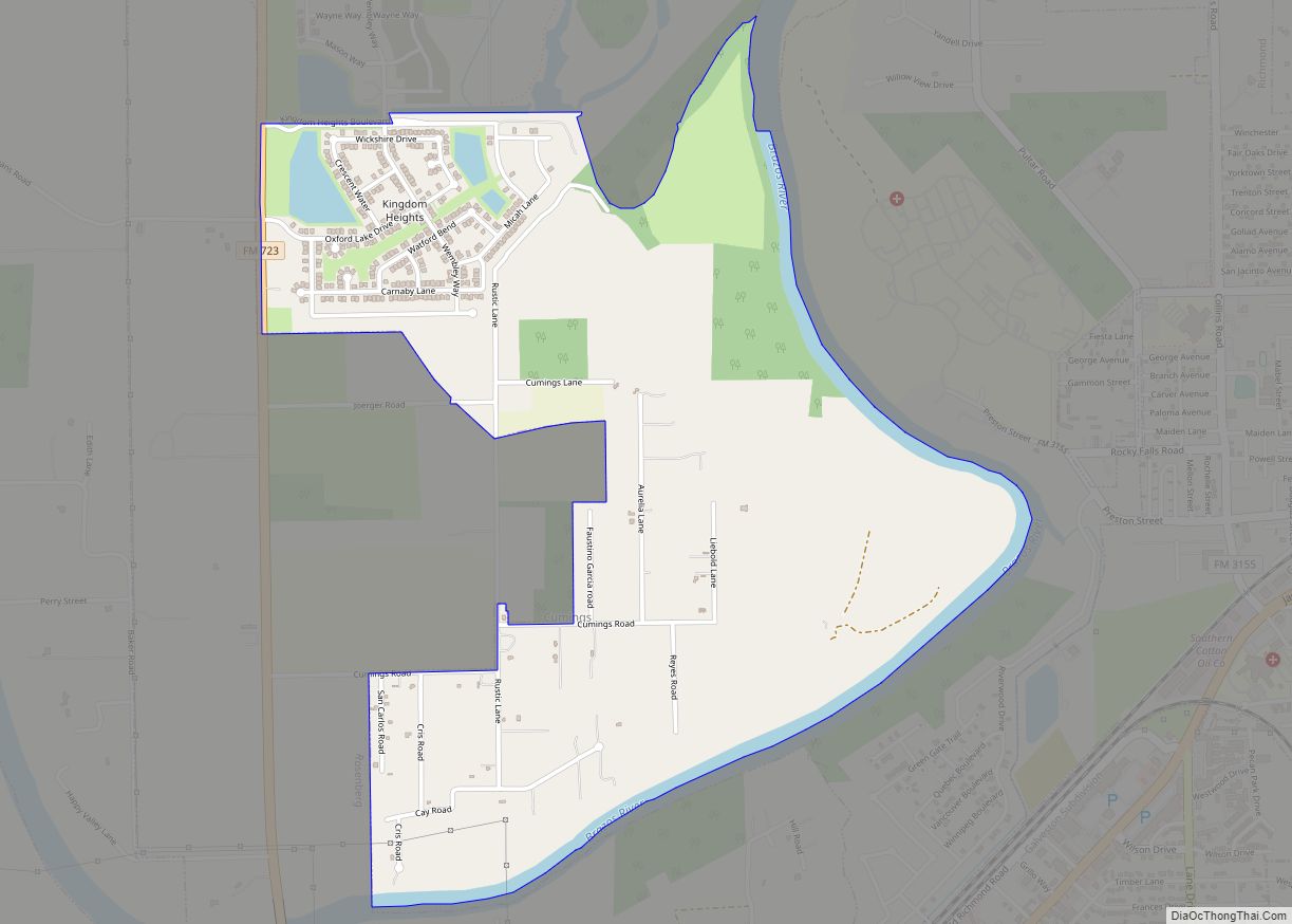
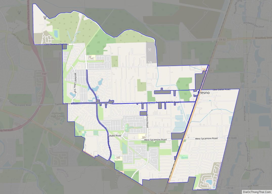
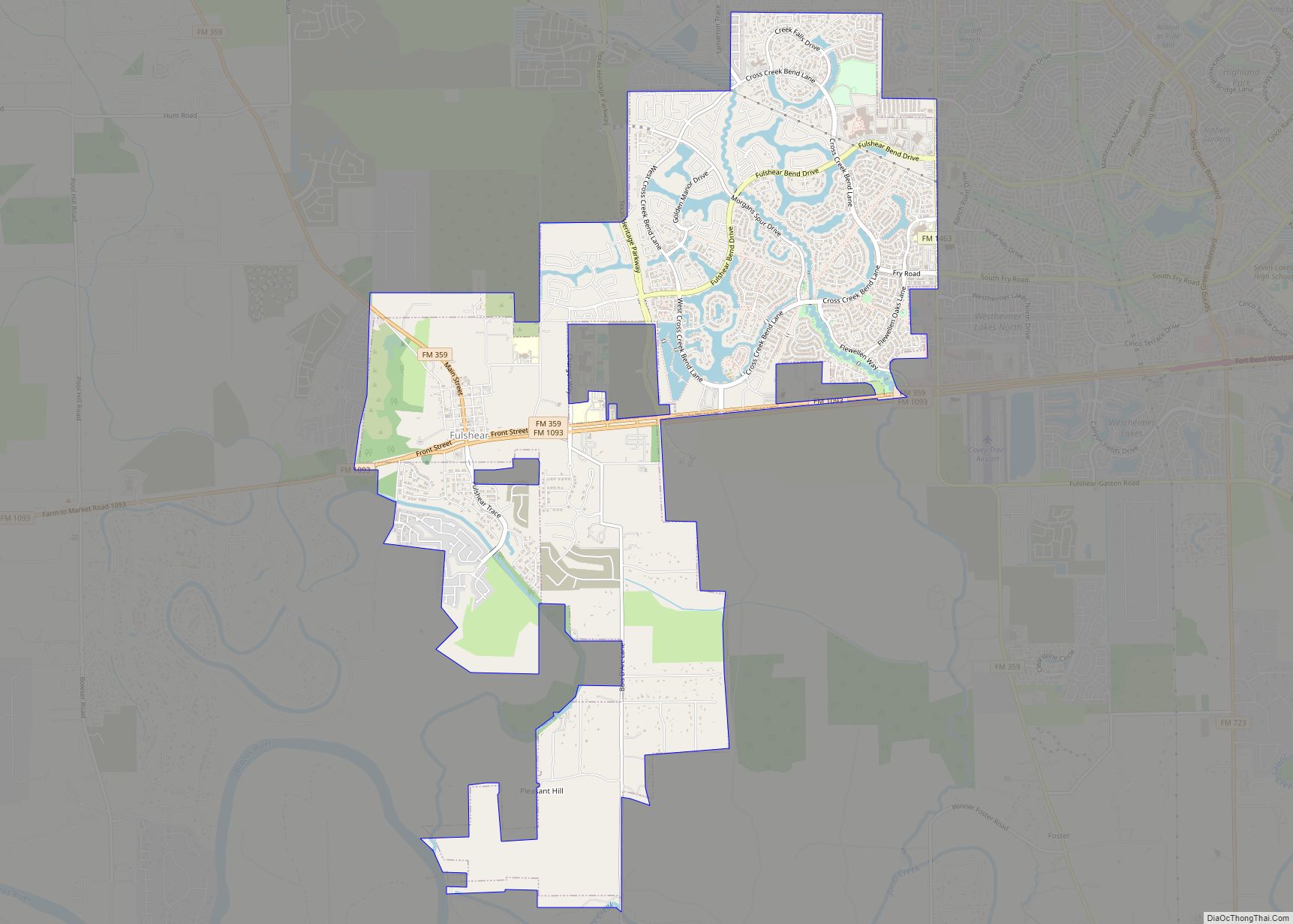
Online Interactive Map
Click on ![]() to view map in "full screen" mode.
to view map in "full screen" mode.
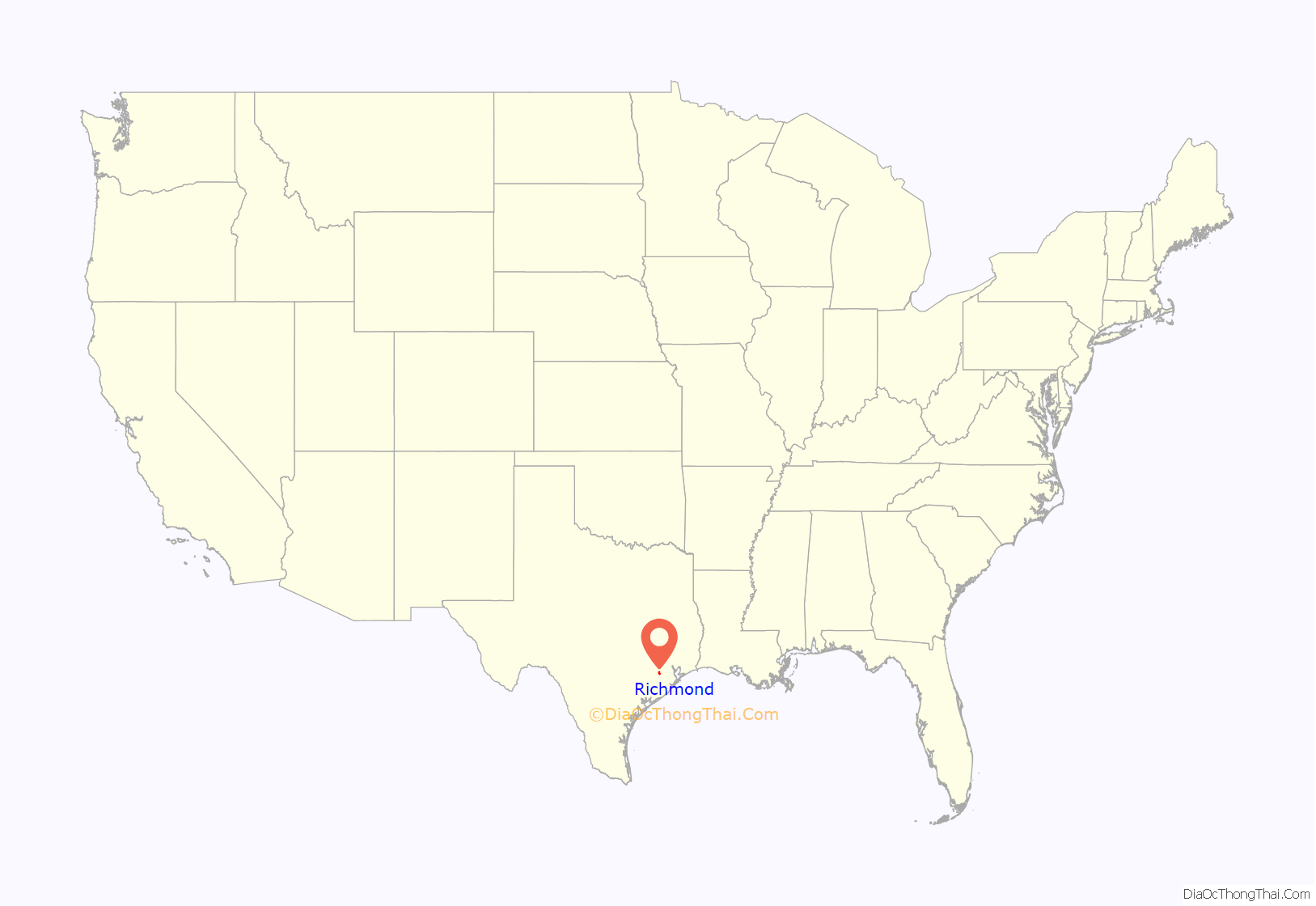
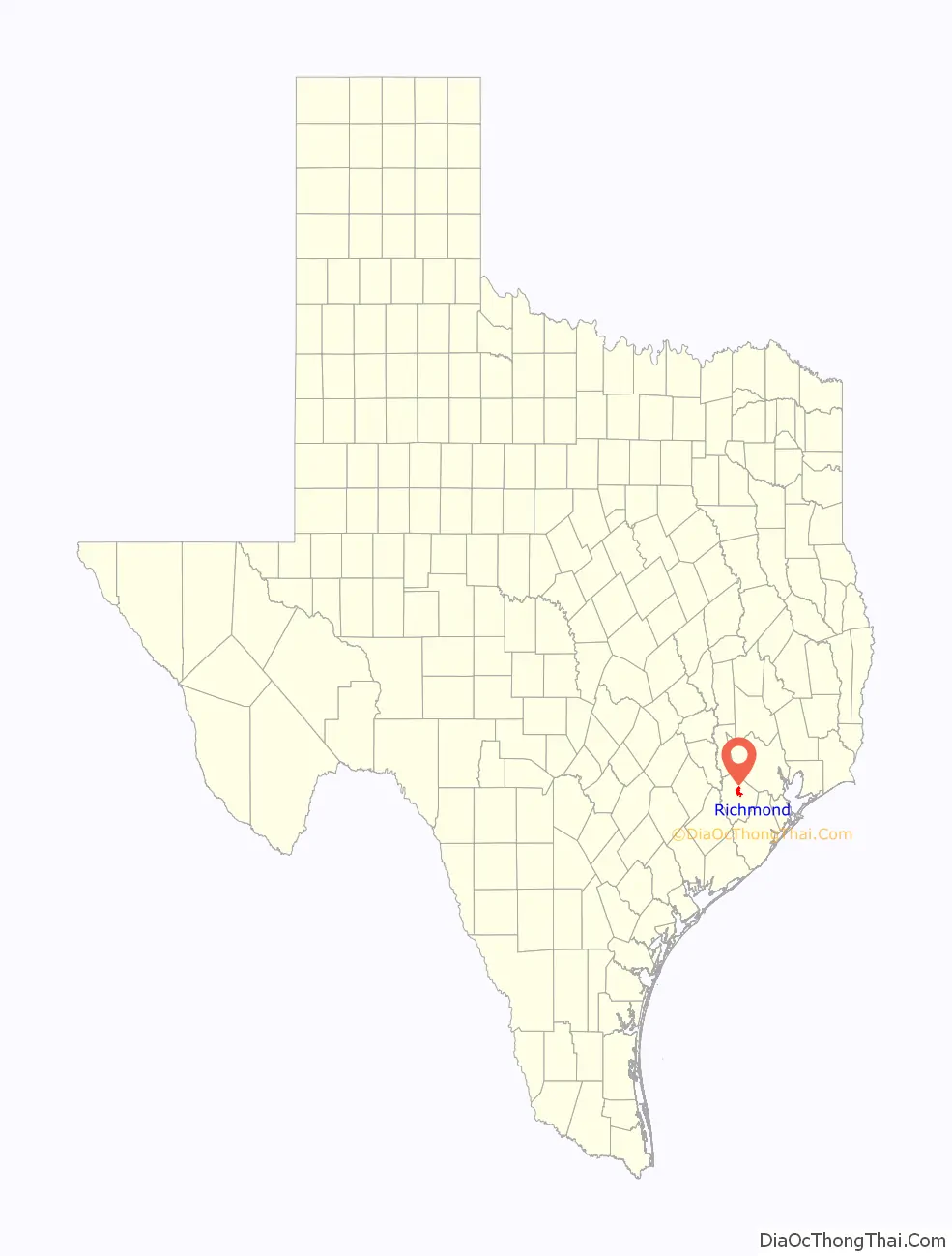
Richmond location map. Where is Richmond city?
History
In 1822, a group of Austin’s colonists went up the Brazos River, stopping near present-day Richmond where they built a fort called “Fort Bend”. Named after Richmond, England, the town was among the 19 cities first incorporated by the short-lived Republic of Texas, in 1837. Early residents of the city include many prominent figures in Texas lore such as Jane Long, Deaf Smith, and Mirabeau Lamar, who are all buried in Richmond, as is Walter Moses Burton, the nation’s first Black elected sheriff. On August 16, 1889, the town was the site of the “Battle of Richmond”, an armed fight culminating the Jaybird–Woodpecker War, a violent feud over post-Reconstruction political control of Fort Bend County. The mayor from 1949 until his death in 2012 was Hilmar Moore.
Historically Richmond had government agencies and nonprofit organizations, while most of the area private businesses were located in Rosenberg.
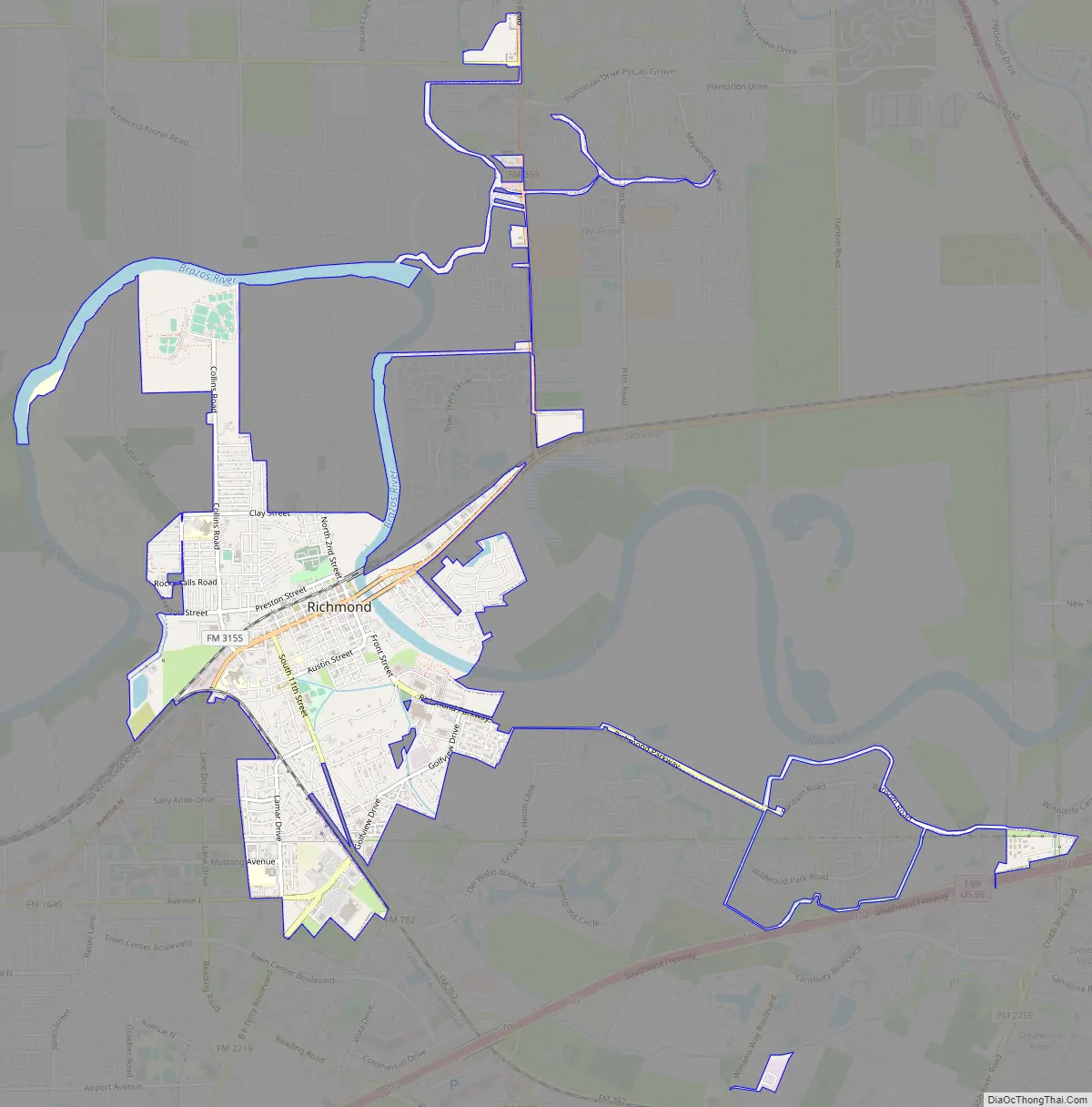
Richmond Road Map
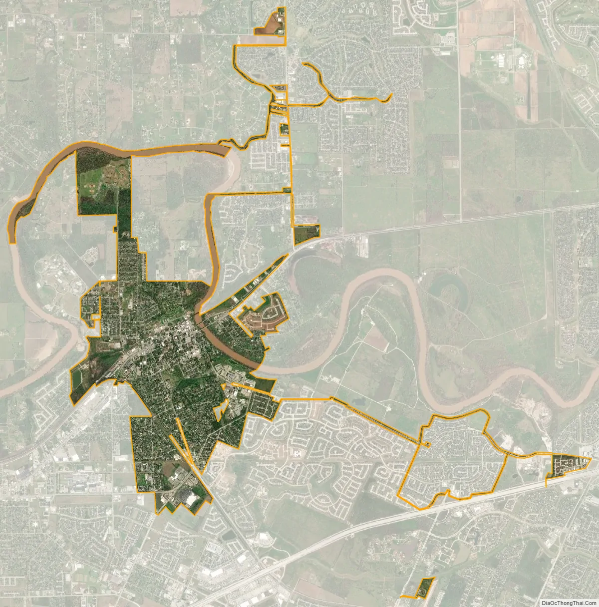
Richmond city Satellite Map
Geography
Richmond is located near the center of Fort Bend County. Most of the city is situated on the southwest side of the Brazos River, with a small portion (Richmond Landing) on the northeast side, connected by US Highway 90A. Richmond is bordered to the southwest by the city of Rosenberg. US 90A leads east 8 miles (13 km) to Sugar Land and west through Rosenberg 19 miles (31 km) to East Bernard. Downtown Houston is 30 miles (48 km) to the northeast.
According to the United States Census Bureau, the city of Richmond has a total area of 4.3 square miles (11.1 km), of which 3.9 square miles (10.2 km) are land and 0.35 square miles (0.9 km), or 8.22%, is covered by water.
In 2003, Jeannie Kever of the Houston Chronicle said, “Some of the old buildings have been reincarnated as shops or law offices. But in other ways, life in Richmond isn’t so different from that in the big city, with its Wal-Mart and fast-food joints, check-cashing businesses and strip-center sprawl.” As of 2006 several strip malls are along U.S. Route 59 south of town. During the same year, the community included tack stores, two-lane blacktop roads, and horse ranches. John P. Lopez of the Houston Chronicle said, “Richmond is a city of contradiction and transition. It’s as if the place is not sure if it wants to be a part of Houston’s bustle or remain a slow-paced farm and ranch town. It tries to be both,” and, “It is part Acres Homes, part Fort Bend County Fair.”
Communities
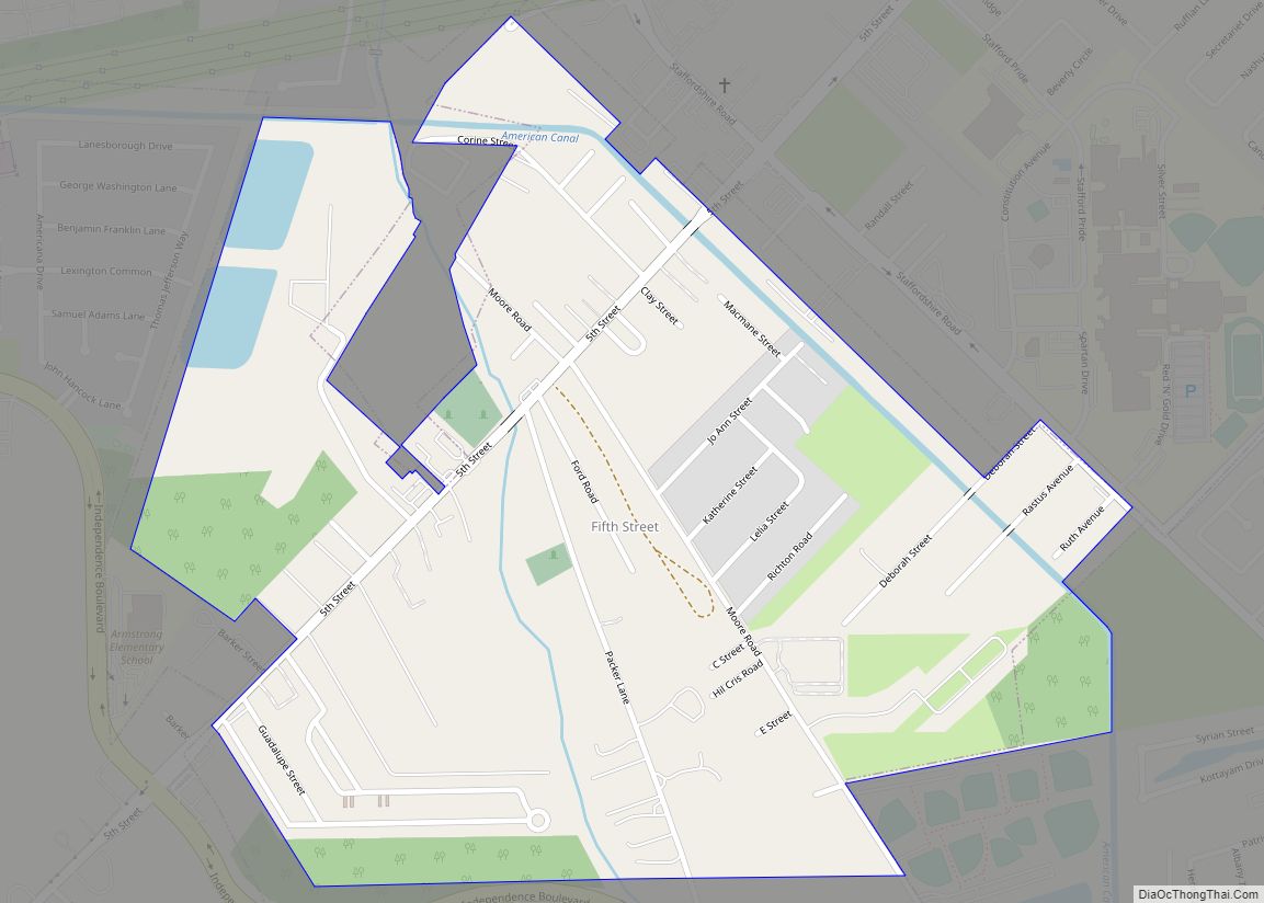
The wealthiest neighborhood, as of 2003, in Richmond is Hillcrest. Winston Terrace, another neighborhood, had its first houses built in 1940. Construction increased around the end of World War II. Most of the houses were built between 1940 and 1965. Jeannie Kever of the Houston Chronicle said that Winston Terrace is “a swath of mid-20th-century America, with sweeping oak trees and colorful brick or wood bungalows, named for the descendants of one of the region’s most illustrious pioneers.”
“Mud Alley” as of 1985 had older bars and strip clubs. Mud Alley is located in an area which, in 1985, housed most of the African Americans in Richmond. As of 1993 many police raids for drugs occurred in “Mud Alley”. “Mud Alley” was known by several other nicknames, including “Little Boomtown”. Historically, the area had a lot of recreational drugs.
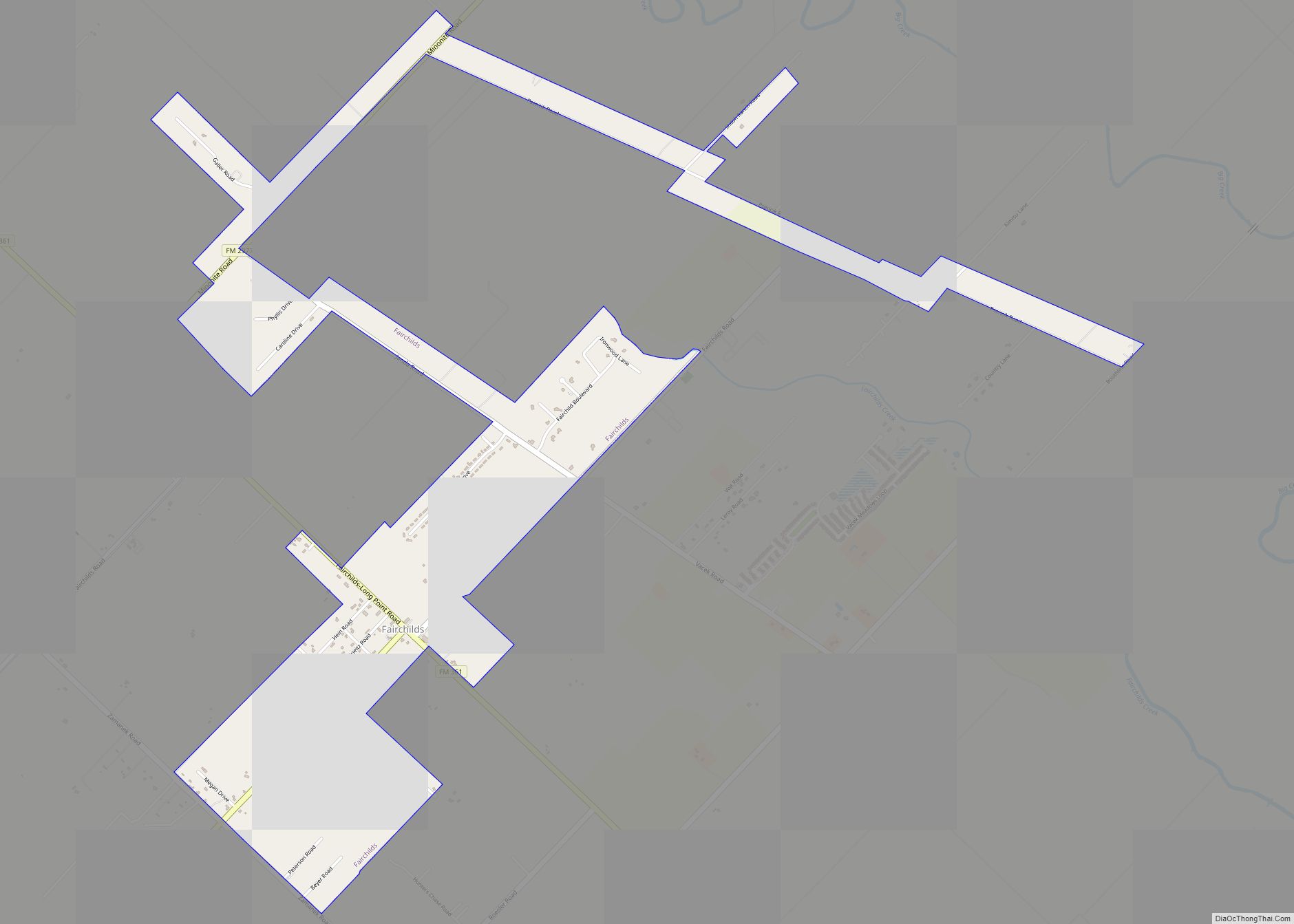
Unincorporated areas of Richmond
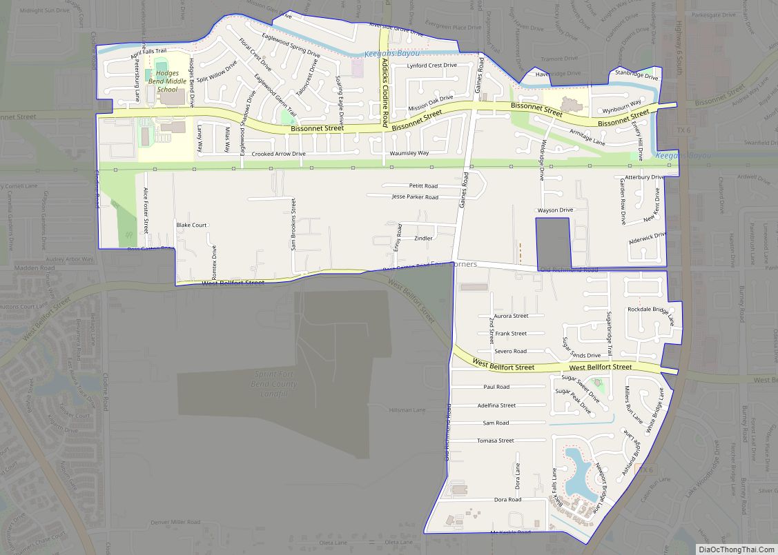
The proximity to affordable and cheap land located off of the Grand Parkway (SH 99) and the Westpark tollway has allowed for multiple master planned communities to be built and take shape. These communities in the 77406 and 77407 zip codes have Richmond addresses, but are not provided any city services since they are unincorporated and in the Extraterritorial jurisdiction (ETJ) of the city of Houston. The respective MUD districts of the neighborhoods provide water, sewer and fire services. Fort Bend County Sheriffs department and local constables provide police support.
These communities include: Pecan Grove, Texas, The lakes of Bella Terra, Long Meadow Farms, Lakemont, Aliana, Grand Mission, Grand Mission Estates, Twin Oaks Village, Fieldstone, Mission Trace, Mission Sierra, Waterside Estates, Candela, Deer Run Meadows, McCrary Meadows, Mandola Farms, and Harvest Green, among others. Multiple mass merchandisers and restaurants have opened locations along the grand parkway and this area continues to grow by leaps and bounds. Estimates are there could be well over 25,000 homes and 10,000 apartment units with a population above 85,000 plus people.
This area of unincorporated Richmond, in Fort Bend County, is split among precinct 3 and precinct 4 for voting purposes, and also split among US house districts 7 (Lizzie Fletcher, D) and district 22 (Troy Nehls, R)
Climate
See also
Map of Texas State and its subdivision:- Anderson
- Andrews
- Angelina
- Aransas
- Archer
- Armstrong
- Atascosa
- Austin
- Bailey
- Bandera
- Bastrop
- Baylor
- Bee
- Bell
- Bexar
- Blanco
- Borden
- Bosque
- Bowie
- Brazoria
- Brazos
- Brewster
- Briscoe
- Brooks
- Brown
- Burleson
- Burnet
- Caldwell
- Calhoun
- Callahan
- Cameron
- Camp
- Carson
- Cass
- Castro
- Chambers
- Cherokee
- Childress
- Clay
- Cochran
- Coke
- Coleman
- Collin
- Collingsworth
- Colorado
- Comal
- Comanche
- Concho
- Cooke
- Coryell
- Cottle
- Crane
- Crockett
- Crosby
- Culberson
- Dallam
- Dallas
- Dawson
- Deaf Smith
- Delta
- Denton
- Dewitt
- Dickens
- Dimmit
- Donley
- Duval
- Eastland
- Ector
- Edwards
- El Paso
- Ellis
- Erath
- Falls
- Fannin
- Fayette
- Fisher
- Floyd
- Foard
- Fort Bend
- Franklin
- Freestone
- Frio
- Gaines
- Galveston
- Garza
- Gillespie
- Glasscock
- Goliad
- Gonzales
- Gray
- Grayson
- Gregg
- Grimes
- Guadalupe
- Hale
- Hall
- Hamilton
- Hansford
- Hardeman
- Hardin
- Harris
- Harrison
- Hartley
- Haskell
- Hays
- Hemphill
- Henderson
- Hidalgo
- Hill
- Hockley
- Hood
- Hopkins
- Houston
- Howard
- Hudspeth
- Hunt
- Hutchinson
- Irion
- Jack
- Jackson
- Jasper
- Jeff Davis
- Jefferson
- Jim Hogg
- Jim Wells
- Johnson
- Jones
- Karnes
- Kaufman
- Kendall
- Kenedy
- Kent
- Kerr
- Kimble
- King
- Kinney
- Kleberg
- Knox
- La Salle
- Lamar
- Lamb
- Lampasas
- Lavaca
- Lee
- Leon
- Liberty
- Limestone
- Lipscomb
- Live Oak
- Llano
- Loving
- Lubbock
- Lynn
- Madison
- Marion
- Martin
- Mason
- Matagorda
- Maverick
- McCulloch
- McLennan
- McMullen
- Medina
- Menard
- Midland
- Milam
- Mills
- Mitchell
- Montague
- Montgomery
- Moore
- Morris
- Motley
- Nacogdoches
- Navarro
- Newton
- Nolan
- Nueces
- Ochiltree
- Oldham
- Orange
- Palo Pinto
- Panola
- Parker
- Parmer
- Pecos
- Polk
- Potter
- Presidio
- Rains
- Randall
- Reagan
- Real
- Red River
- Reeves
- Refugio
- Roberts
- Robertson
- Rockwall
- Runnels
- Rusk
- Sabine
- San Augustine
- San Jacinto
- San Patricio
- San Saba
- Schleicher
- Scurry
- Shackelford
- Shelby
- Sherman
- Smith
- Somervell
- Starr
- Stephens
- Sterling
- Stonewall
- Sutton
- Swisher
- Tarrant
- Taylor
- Terrell
- Terry
- Throckmorton
- Titus
- Tom Green
- Travis
- Trinity
- Tyler
- Upshur
- Upton
- Uvalde
- Val Verde
- Van Zandt
- Victoria
- Walker
- Waller
- Ward
- Washington
- Webb
- Wharton
- Wheeler
- Wichita
- Wilbarger
- Willacy
- Williamson
- Wilson
- Winkler
- Wise
- Wood
- Yoakum
- Young
- Zapata
- Zavala
- Alabama
- Alaska
- Arizona
- Arkansas
- California
- Colorado
- Connecticut
- Delaware
- District of Columbia
- Florida
- Georgia
- Hawaii
- Idaho
- Illinois
- Indiana
- Iowa
- Kansas
- Kentucky
- Louisiana
- Maine
- Maryland
- Massachusetts
- Michigan
- Minnesota
- Mississippi
- Missouri
- Montana
- Nebraska
- Nevada
- New Hampshire
- New Jersey
- New Mexico
- New York
- North Carolina
- North Dakota
- Ohio
- Oklahoma
- Oregon
- Pennsylvania
- Rhode Island
- South Carolina
- South Dakota
- Tennessee
- Texas
- Utah
- Vermont
- Virginia
- Washington
- West Virginia
- Wisconsin
- Wyoming