Melissa is a city in Collin County, Texas, United States. The population was 4,695 at the 2010 census, up from 1,350 at the 2000 census; in 2020, its population grew to 13,901.
| Name: | Melissa city |
|---|---|
| LSAD Code: | 25 |
| LSAD Description: | city (suffix) |
| State: | Texas |
| County: | Collin County |
| Elevation: | 679 ft (207 m) |
| Total Area: | 11.52 sq mi (29.83 km²) |
| Land Area: | 11.45 sq mi (29.66 km²) |
| Water Area: | 0.07 sq mi (0.17 km²) |
| Total Population: | 13,901 |
| Population Density: | 1,058.07/sq mi (408.52/km²) |
| ZIP code: | 75071, 75454 |
| Area code: | 972 |
| FIPS code: | 4847496 |
| GNISfeature ID: | 1362586 |
| Website: | cityofmelissa.com |
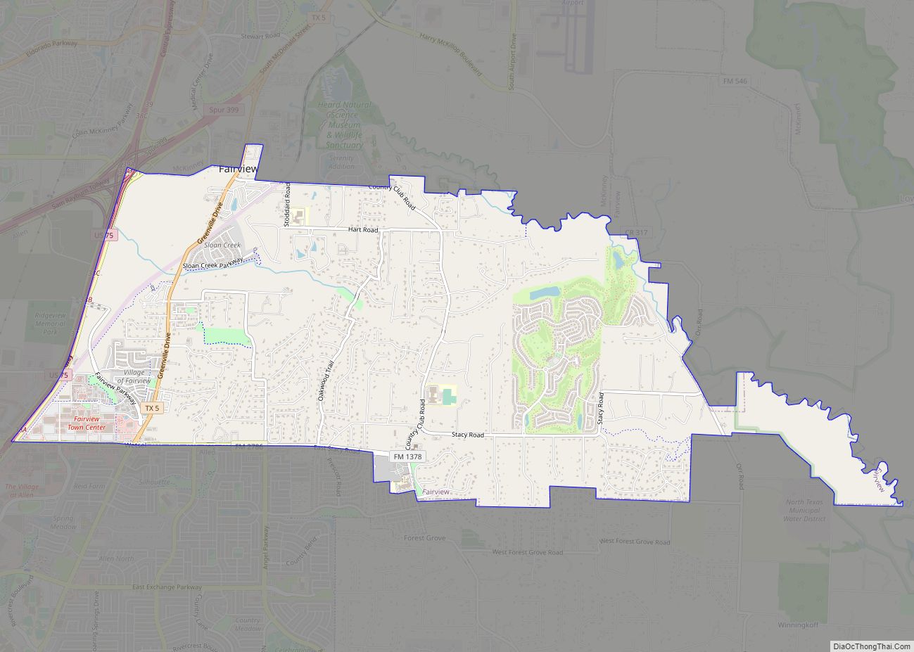
Online Interactive Map
Click on ![]() to view map in "full screen" mode.
to view map in "full screen" mode.
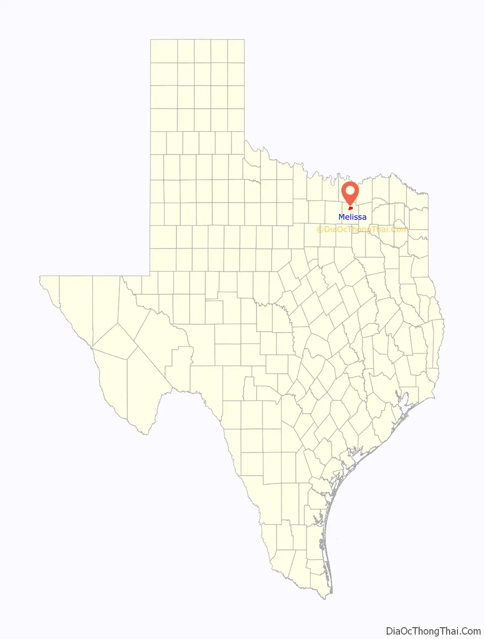
Melissa location map. Where is Melissa city?
History
Some of Melissa’s first settlers came from the old Highland community, two and a half miles north of present-day Melissa. C.H. Wysong, a blacksmith, was one of the earliest settlers. A post office was established in 1853 at Highland. The Houston and Texas Central Railroad arrived in Melissa in 1872 and established a depot. The town was laid out at this time. The railroad encouraged many families to come to Melissa. The town is believed to have been named for the daughter of a railroad executive, George A. Quinlan (1838–1901) of the Houston and Texas Central Railroad. There is some disagreement about this, as others argue that the town was named after Melissa Huntington, daughter of C. P. Huntington, another well-known railroad executive. Anna, Texas, is named after Anna Elizabeth Quinlan (1878–1952), the only daughter of George Austin Quinlan and his wife Mary Kate Saunders (1851–1884). Quinlan, Texas, is named after George Austin Quinlan himself.
The first school in Melissa was built on land purchased in 1882 by trustees James Graves, John Gibson, and George Fitzhugh, who were early settlers of the area. The first teacher was Mary Huckerston, who taught there for five years. The school began with 38 pupils. Church services were held there for all faiths on Sundays. A two-story brick schoolhouse was built on this site in 1910 to accommodate growth brought by the railroad.
Melissa was an important shipping point in the early 1900s. Corn, wheat, alfalfa hay, wood, and livestock were all sent out on the railroad.
A deadly tornado struck Melissa on April 13, 1921, killing 13 people and injuring many more. The tornado tore the roof off of the brick school building, but the children inside were not seriously injured. However, all churches in the town, three cotton gins, every business house except a bank, the post office, and the Houston and Texas Central railway station, were wrecked. The Waldon Hotel was lifted by the winds, turned halfway around, and thrown up against the school building.
Eight years later, on August 8, 1929, a fire burned down many of the buildings that had been rebuilt after the tornado. Population declined from a high of 500 in 1925 down to 285 in 1949.
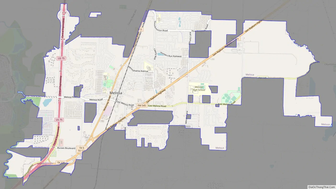
Melissa Road Map
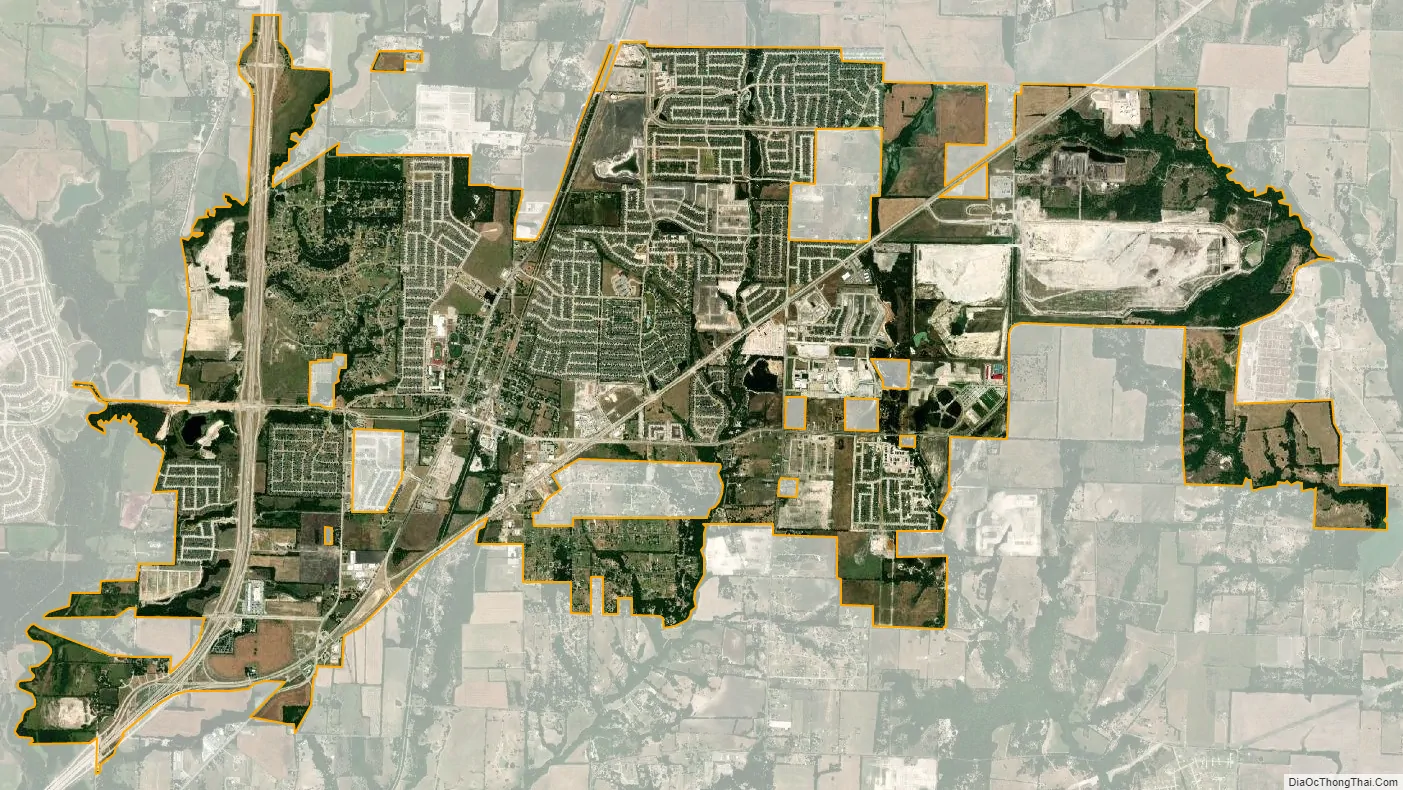
Melissa city Satellite Map
Geography
Melissa is located in north-central Collin County at 33°17′01″N 96°34′19″W / 33.283534°N 96.571851°W / 33.283534; -96.571851. State Highway 5 passes through the center of the city, State Highway 121 passes through the eastern part, and the U.S. Route 75 freeway passes through the western side. US 75 and Highway 121 converge in the southwest part of Melissa, then head 6 miles (10 km) southwest to McKinney, the Collin County seat. The center of Dallas is 40 miles (64 km) southwest of Melissa, and Denison is 37 miles (60 km) to the north via US 75.
According to the United States Census Bureau, Melissa has a total area of 10.2 square miles (26.4 km), of which 10.1 square miles (26.2 km) is land and 0.08 square miles (0.2 km), or 0.66%, is water.
See also
Map of Texas State and its subdivision:- Anderson
- Andrews
- Angelina
- Aransas
- Archer
- Armstrong
- Atascosa
- Austin
- Bailey
- Bandera
- Bastrop
- Baylor
- Bee
- Bell
- Bexar
- Blanco
- Borden
- Bosque
- Bowie
- Brazoria
- Brazos
- Brewster
- Briscoe
- Brooks
- Brown
- Burleson
- Burnet
- Caldwell
- Calhoun
- Callahan
- Cameron
- Camp
- Carson
- Cass
- Castro
- Chambers
- Cherokee
- Childress
- Clay
- Cochran
- Coke
- Coleman
- Collin
- Collingsworth
- Colorado
- Comal
- Comanche
- Concho
- Cooke
- Coryell
- Cottle
- Crane
- Crockett
- Crosby
- Culberson
- Dallam
- Dallas
- Dawson
- Deaf Smith
- Delta
- Denton
- Dewitt
- Dickens
- Dimmit
- Donley
- Duval
- Eastland
- Ector
- Edwards
- El Paso
- Ellis
- Erath
- Falls
- Fannin
- Fayette
- Fisher
- Floyd
- Foard
- Fort Bend
- Franklin
- Freestone
- Frio
- Gaines
- Galveston
- Garza
- Gillespie
- Glasscock
- Goliad
- Gonzales
- Gray
- Grayson
- Gregg
- Grimes
- Guadalupe
- Hale
- Hall
- Hamilton
- Hansford
- Hardeman
- Hardin
- Harris
- Harrison
- Hartley
- Haskell
- Hays
- Hemphill
- Henderson
- Hidalgo
- Hill
- Hockley
- Hood
- Hopkins
- Houston
- Howard
- Hudspeth
- Hunt
- Hutchinson
- Irion
- Jack
- Jackson
- Jasper
- Jeff Davis
- Jefferson
- Jim Hogg
- Jim Wells
- Johnson
- Jones
- Karnes
- Kaufman
- Kendall
- Kenedy
- Kent
- Kerr
- Kimble
- King
- Kinney
- Kleberg
- Knox
- La Salle
- Lamar
- Lamb
- Lampasas
- Lavaca
- Lee
- Leon
- Liberty
- Limestone
- Lipscomb
- Live Oak
- Llano
- Loving
- Lubbock
- Lynn
- Madison
- Marion
- Martin
- Mason
- Matagorda
- Maverick
- McCulloch
- McLennan
- McMullen
- Medina
- Menard
- Midland
- Milam
- Mills
- Mitchell
- Montague
- Montgomery
- Moore
- Morris
- Motley
- Nacogdoches
- Navarro
- Newton
- Nolan
- Nueces
- Ochiltree
- Oldham
- Orange
- Palo Pinto
- Panola
- Parker
- Parmer
- Pecos
- Polk
- Potter
- Presidio
- Rains
- Randall
- Reagan
- Real
- Red River
- Reeves
- Refugio
- Roberts
- Robertson
- Rockwall
- Runnels
- Rusk
- Sabine
- San Augustine
- San Jacinto
- San Patricio
- San Saba
- Schleicher
- Scurry
- Shackelford
- Shelby
- Sherman
- Smith
- Somervell
- Starr
- Stephens
- Sterling
- Stonewall
- Sutton
- Swisher
- Tarrant
- Taylor
- Terrell
- Terry
- Throckmorton
- Titus
- Tom Green
- Travis
- Trinity
- Tyler
- Upshur
- Upton
- Uvalde
- Val Verde
- Van Zandt
- Victoria
- Walker
- Waller
- Ward
- Washington
- Webb
- Wharton
- Wheeler
- Wichita
- Wilbarger
- Willacy
- Williamson
- Wilson
- Winkler
- Wise
- Wood
- Yoakum
- Young
- Zapata
- Zavala
- Alabama
- Alaska
- Arizona
- Arkansas
- California
- Colorado
- Connecticut
- Delaware
- District of Columbia
- Florida
- Georgia
- Hawaii
- Idaho
- Illinois
- Indiana
- Iowa
- Kansas
- Kentucky
- Louisiana
- Maine
- Maryland
- Massachusetts
- Michigan
- Minnesota
- Mississippi
- Missouri
- Montana
- Nebraska
- Nevada
- New Hampshire
- New Jersey
- New Mexico
- New York
- North Carolina
- North Dakota
- Ohio
- Oklahoma
- Oregon
- Pennsylvania
- Rhode Island
- South Carolina
- South Dakota
- Tennessee
- Texas
- Utah
- Vermont
- Virginia
- Washington
- West Virginia
- Wisconsin
- Wyoming