Princeton is a city in Collin County, Texas, United States. As of the 2010 census it had a population of 6,807, with an increase to 17,027 in 2020.
| Name: | Princeton city |
|---|---|
| LSAD Code: | 25 |
| LSAD Description: | city (suffix) |
| State: | Texas |
| County: | Collin County |
| Elevation: | 574 ft (175 m) |
| Total Area: | 10.16 sq mi (26.30 km²) |
| Land Area: | 10.10 sq mi (26.15 km²) |
| Water Area: | 0.06 sq mi (0.15 km²) |
| Total Population: | 17,027 |
| Population Density: | 1,375.92/sq mi (531.24/km²) |
| ZIP code: | 75407 |
| Area code: | 972 |
| FIPS code: | 4859576 |
| GNISfeature ID: | 1344570 |
| Website: | princetontx.gov |
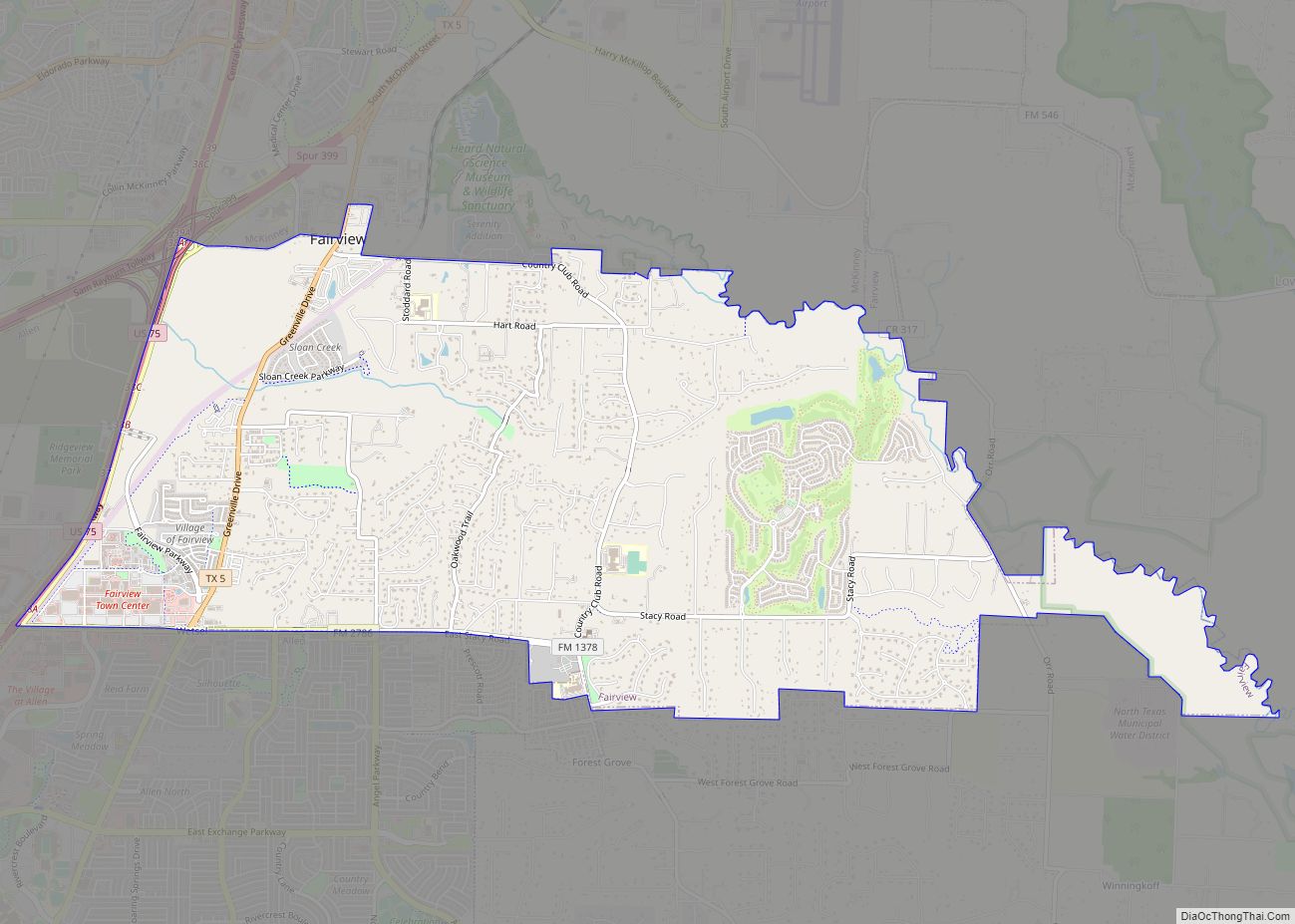
Online Interactive Map
Click on ![]() to view map in "full screen" mode.
to view map in "full screen" mode.
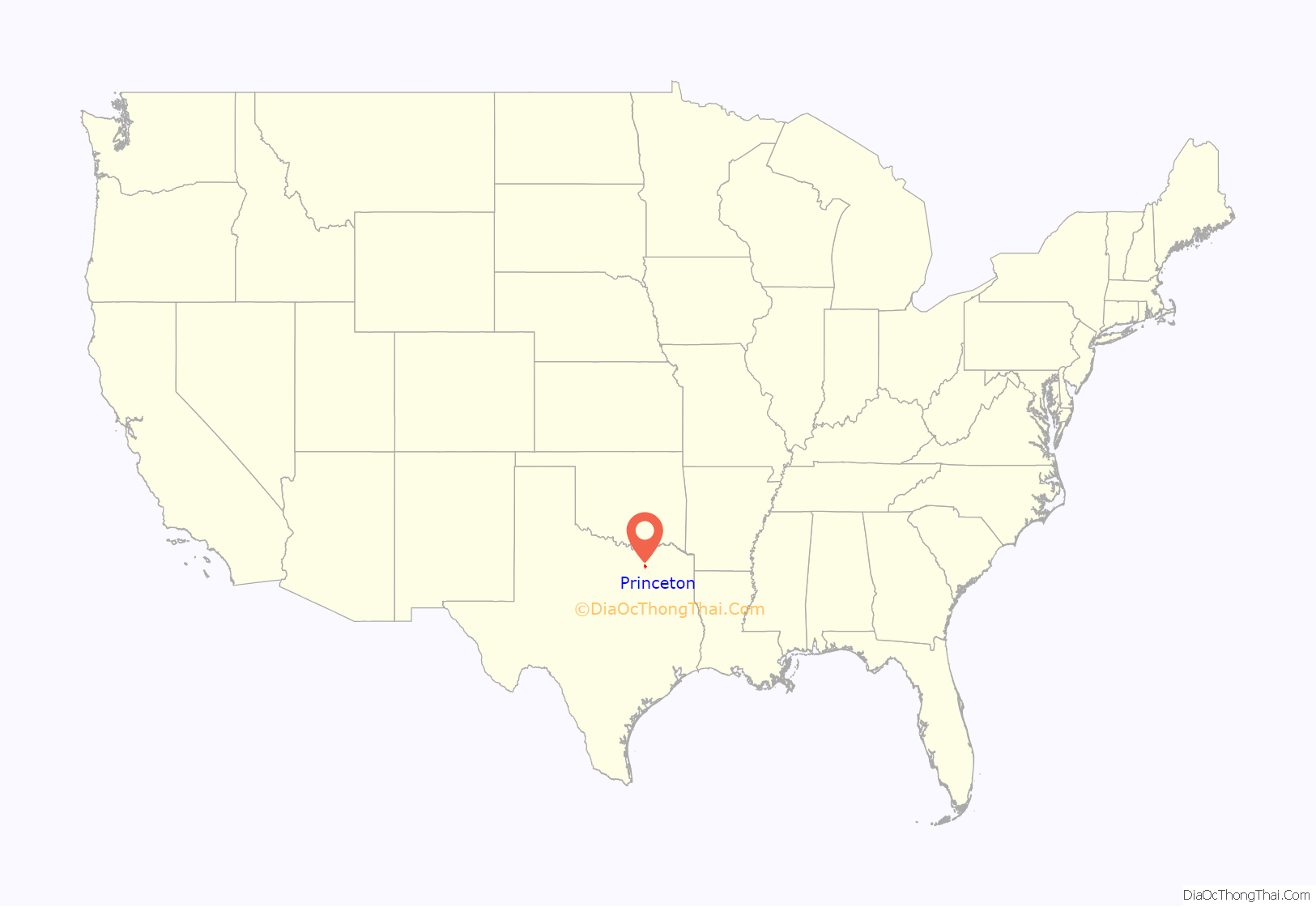
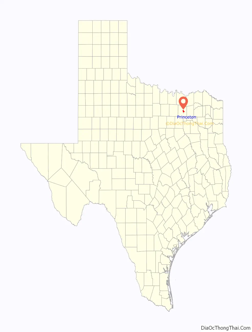
Princeton location map. Where is Princeton city?
History
In the late 1870s T. B. Wilson and his brother George began farming near the site of future Princeton. In 1881 the Missouri, Kansas and Texas Railroad Company extended its line from Greenville to McKinney, passing through land owned by the brothers. The name “Wilson’s Switch” was commonly used to designate the area. When residents applied for a post office branch, however, they learned that the name Wilson was already being used. The community then submitted the name “Princeton” in honor of Prince Dowlin, a landowner and promoter of the town. This name was accepted, and a post office was established in 1888.
In 1940, a camp of 76 cabins was built west of Princeton to house up to 400 migrant workers, who came to work during the onion and cotton seasons. In February 1945, the site became a prisoner-of-war camp for German prisoners captured during the Second World War. The local farmers paid the POWs to work on their farms. This operation continued for eight months. Under a special bill, the German prisoners were contracted to work on the City Park located across from city hall. The park was built as a living memorial and shrine to those who served and died during World War II. The Community Park/WWII P.O.W. Camp is located at 500 West College Street.
Members of the Princeton Independent School District and the Princeton Lions Club have teamed up annually to hold the Princeton Onion Festival. It is a major festival for the town that began in 2005 and is expected to occur on the fourth Saturday of April each year.
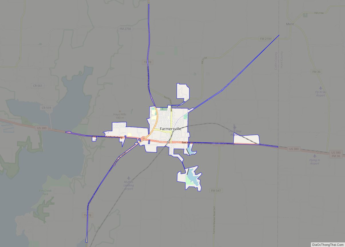
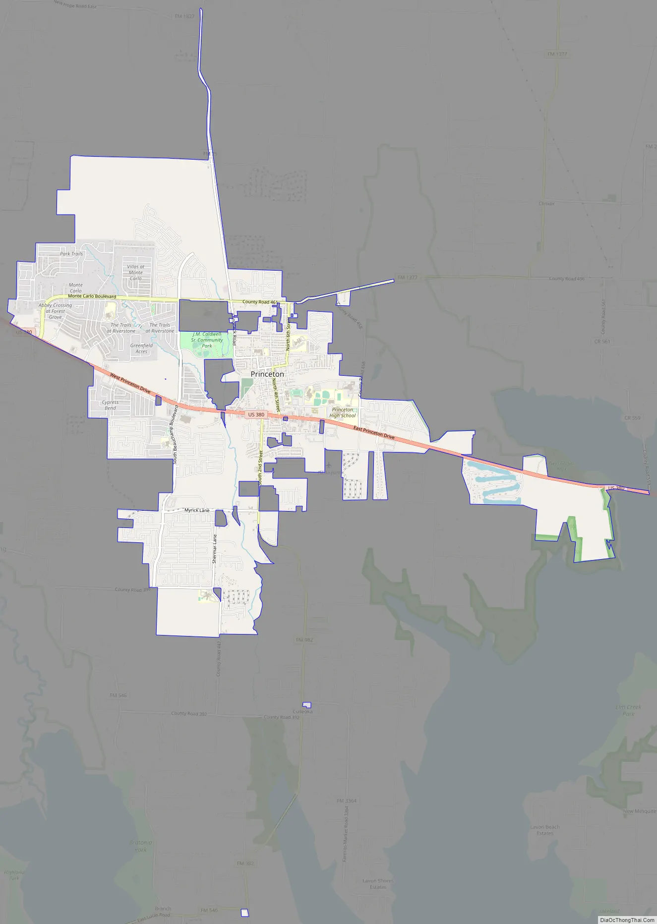
Princeton Road Map
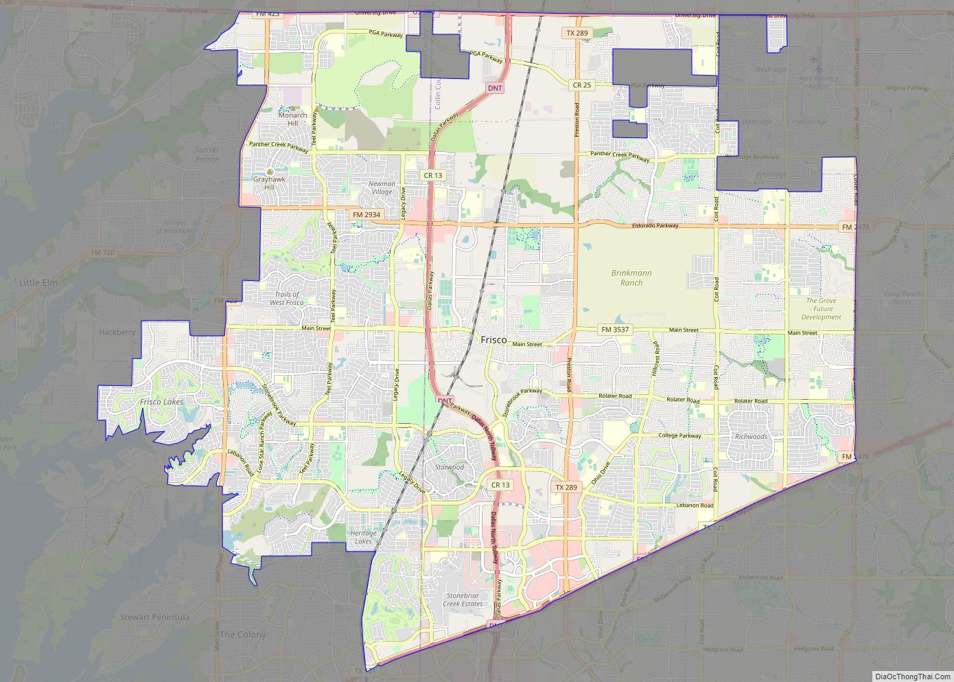
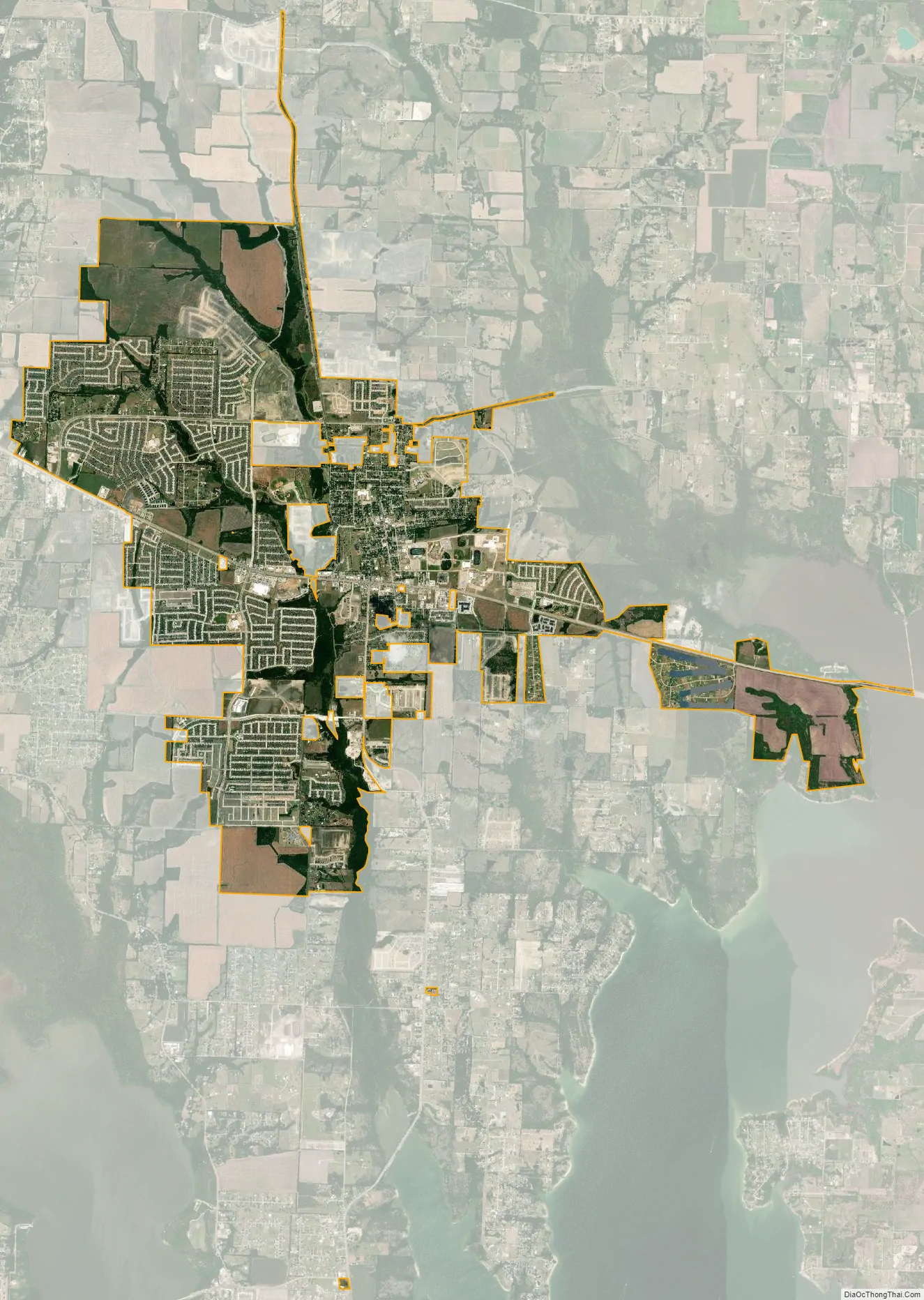
Princeton city Satellite Map
Geography
Princeton is located just east of the center of Collin County. It is bordered to the west by Lowry Crossing. U.S. Route 380 passes through Princeton, leading west 8 miles (13 km) to McKinney, the county seat, and east 8 miles (13 km) to Farmersville. According to the U.S. Census Bureau, Princeton has a total area of 7.5 square miles (19 km), of which 7.4 square miles (19 km) is land and 0.04 square miles (0.10 km), or 0.76%, is water.
Boundary History
On June 30, 2011, a Collin County District Court Judge issued a judgment ending a legal dispute over Princeton’s southern boundary. The judgment ruled against the city, finding that the tract of land in question had not been annexed and was not lawfully within the city limits. The case was filed on January 12, 2010 and was titled: The State of Texas Ex Rel. Collin County, Texas vs. The City of Princeton, Texas, Case No. 401-00108-2010. This case is available for public viewing in the Collin County courthouse.
The State of Texas’ Motion for Summary Judgement stated “that Princeton administration had ‘unlawfully and improperly attempted to assert jurisdiction over a tract of land which the city never annexed and which is not lawfully within the corporate city limits,’ according to Collin County court records.” “Tract Five, the property in question, is a strip of land that runs the length of the right of way of Farm to Market Road 982 from about a half mile south of U.S. Highway 380 to its intersection with FM Road 546.” “The southern portion of this tract was incorporated as part of the city of Branch from August of 1971 through April of 1977.” “After three months in which no response of any kind was received from the city (of Princeton) in regard to the matter, the (approximately 100) landowners concluded that the city (of Princeton) was ignoring (them) and decided in November (of 2006) to refer the matter to the Collin County District Attorney for possible legal action.” The landowners “provided all of the documentation” (to the D.A.)…
“The state’s quo warranto motion, filed in November 2010, claimed that Princeton was wrongfully exercising powers not authorized by any law or statute and that a judgment on the case could be made without a trial and instead based solely on Princeton city records.” “Princeton officials first claimed the 5.5-mile strip of land as part of the city limits in 2003, but according to the state’s motion, the ‘contorted history of Tract Five and the City’s current efforts to effectively annex by stealth began in 1971.'” “In January 1971, the city enacted Ordinance No. 104, through which Princeton attempted to annex certain right-of-ways surrounding the city by a process commonly referred to as ‘strip annexation.'” “Princeton City Council passed a motion to annex five tracts, but in April of that year, the council passed another motion to eliminate Tract Five from the proposed annexations.” “Texas Legislature subsequently prohibited ‘strip annexation’ through procedures mandated by Chapter 43 of the Texas Local Government Code.” “All area maps, including one Princeton filed in 2000 with the U.S. Dept. of Justice, show that Tract Five did not belong to Princeton.” “Included in the state’s original filing on the case in 2010 is a corporate map of Branch that was legally filed in Collin County records in March 1975, showing that Branch owns (sic) the corner of FM 982 and FM 546 and part of the same land Princeton began claiming as its own in 2003.” “Robert Davis, specially deputized District Attorney representing the state, said in the state’s motion for summary judgment that ‘in 2003, realizing that they were prohibited by law from engaging in the type of strip annexation which was accomplished by Ordinance No. 104, the City passed an ordinance which attempted to refute the fact
Using only Princeton’s official city records, District Court Judge Ray Wheless ruled: “that Princeton’s southern most corporate city limit officially extends to approximately 0.6 miles south of the intersection of F.M. Road 982 with U.S. Highway 380 but does NOT include the 5.5-mile stretch to FM 546.” “The order brings Princeton’s south boundary back to where it stood for nearly 32 years.” Princeton’s City Council minutes from July 11, 2011 state that “Councilmember Beauchamp made a motion to not appeal the Quo Warranto, Case No. 401-00108-2010. Councilmember Glass seconded the motion. The motion carried unanimously.” This decision was reported in The Princeton Herald on July 14, 2011 by Jamie Engle under the title, “City manager terminated, no appeal in 982 case.”
See also
Map of Texas State and its subdivision:- Anderson
- Andrews
- Angelina
- Aransas
- Archer
- Armstrong
- Atascosa
- Austin
- Bailey
- Bandera
- Bastrop
- Baylor
- Bee
- Bell
- Bexar
- Blanco
- Borden
- Bosque
- Bowie
- Brazoria
- Brazos
- Brewster
- Briscoe
- Brooks
- Brown
- Burleson
- Burnet
- Caldwell
- Calhoun
- Callahan
- Cameron
- Camp
- Carson
- Cass
- Castro
- Chambers
- Cherokee
- Childress
- Clay
- Cochran
- Coke
- Coleman
- Collin
- Collingsworth
- Colorado
- Comal
- Comanche
- Concho
- Cooke
- Coryell
- Cottle
- Crane
- Crockett
- Crosby
- Culberson
- Dallam
- Dallas
- Dawson
- Deaf Smith
- Delta
- Denton
- Dewitt
- Dickens
- Dimmit
- Donley
- Duval
- Eastland
- Ector
- Edwards
- El Paso
- Ellis
- Erath
- Falls
- Fannin
- Fayette
- Fisher
- Floyd
- Foard
- Fort Bend
- Franklin
- Freestone
- Frio
- Gaines
- Galveston
- Garza
- Gillespie
- Glasscock
- Goliad
- Gonzales
- Gray
- Grayson
- Gregg
- Grimes
- Guadalupe
- Hale
- Hall
- Hamilton
- Hansford
- Hardeman
- Hardin
- Harris
- Harrison
- Hartley
- Haskell
- Hays
- Hemphill
- Henderson
- Hidalgo
- Hill
- Hockley
- Hood
- Hopkins
- Houston
- Howard
- Hudspeth
- Hunt
- Hutchinson
- Irion
- Jack
- Jackson
- Jasper
- Jeff Davis
- Jefferson
- Jim Hogg
- Jim Wells
- Johnson
- Jones
- Karnes
- Kaufman
- Kendall
- Kenedy
- Kent
- Kerr
- Kimble
- King
- Kinney
- Kleberg
- Knox
- La Salle
- Lamar
- Lamb
- Lampasas
- Lavaca
- Lee
- Leon
- Liberty
- Limestone
- Lipscomb
- Live Oak
- Llano
- Loving
- Lubbock
- Lynn
- Madison
- Marion
- Martin
- Mason
- Matagorda
- Maverick
- McCulloch
- McLennan
- McMullen
- Medina
- Menard
- Midland
- Milam
- Mills
- Mitchell
- Montague
- Montgomery
- Moore
- Morris
- Motley
- Nacogdoches
- Navarro
- Newton
- Nolan
- Nueces
- Ochiltree
- Oldham
- Orange
- Palo Pinto
- Panola
- Parker
- Parmer
- Pecos
- Polk
- Potter
- Presidio
- Rains
- Randall
- Reagan
- Real
- Red River
- Reeves
- Refugio
- Roberts
- Robertson
- Rockwall
- Runnels
- Rusk
- Sabine
- San Augustine
- San Jacinto
- San Patricio
- San Saba
- Schleicher
- Scurry
- Shackelford
- Shelby
- Sherman
- Smith
- Somervell
- Starr
- Stephens
- Sterling
- Stonewall
- Sutton
- Swisher
- Tarrant
- Taylor
- Terrell
- Terry
- Throckmorton
- Titus
- Tom Green
- Travis
- Trinity
- Tyler
- Upshur
- Upton
- Uvalde
- Val Verde
- Van Zandt
- Victoria
- Walker
- Waller
- Ward
- Washington
- Webb
- Wharton
- Wheeler
- Wichita
- Wilbarger
- Willacy
- Williamson
- Wilson
- Winkler
- Wise
- Wood
- Yoakum
- Young
- Zapata
- Zavala
- Alabama
- Alaska
- Arizona
- Arkansas
- California
- Colorado
- Connecticut
- Delaware
- District of Columbia
- Florida
- Georgia
- Hawaii
- Idaho
- Illinois
- Indiana
- Iowa
- Kansas
- Kentucky
- Louisiana
- Maine
- Maryland
- Massachusetts
- Michigan
- Minnesota
- Mississippi
- Missouri
- Montana
- Nebraska
- Nevada
- New Hampshire
- New Jersey
- New Mexico
- New York
- North Carolina
- North Dakota
- Ohio
- Oklahoma
- Oregon
- Pennsylvania
- Rhode Island
- South Carolina
- South Dakota
- Tennessee
- Texas
- Utah
- Vermont
- Virginia
- Washington
- West Virginia
- Wisconsin
- Wyoming