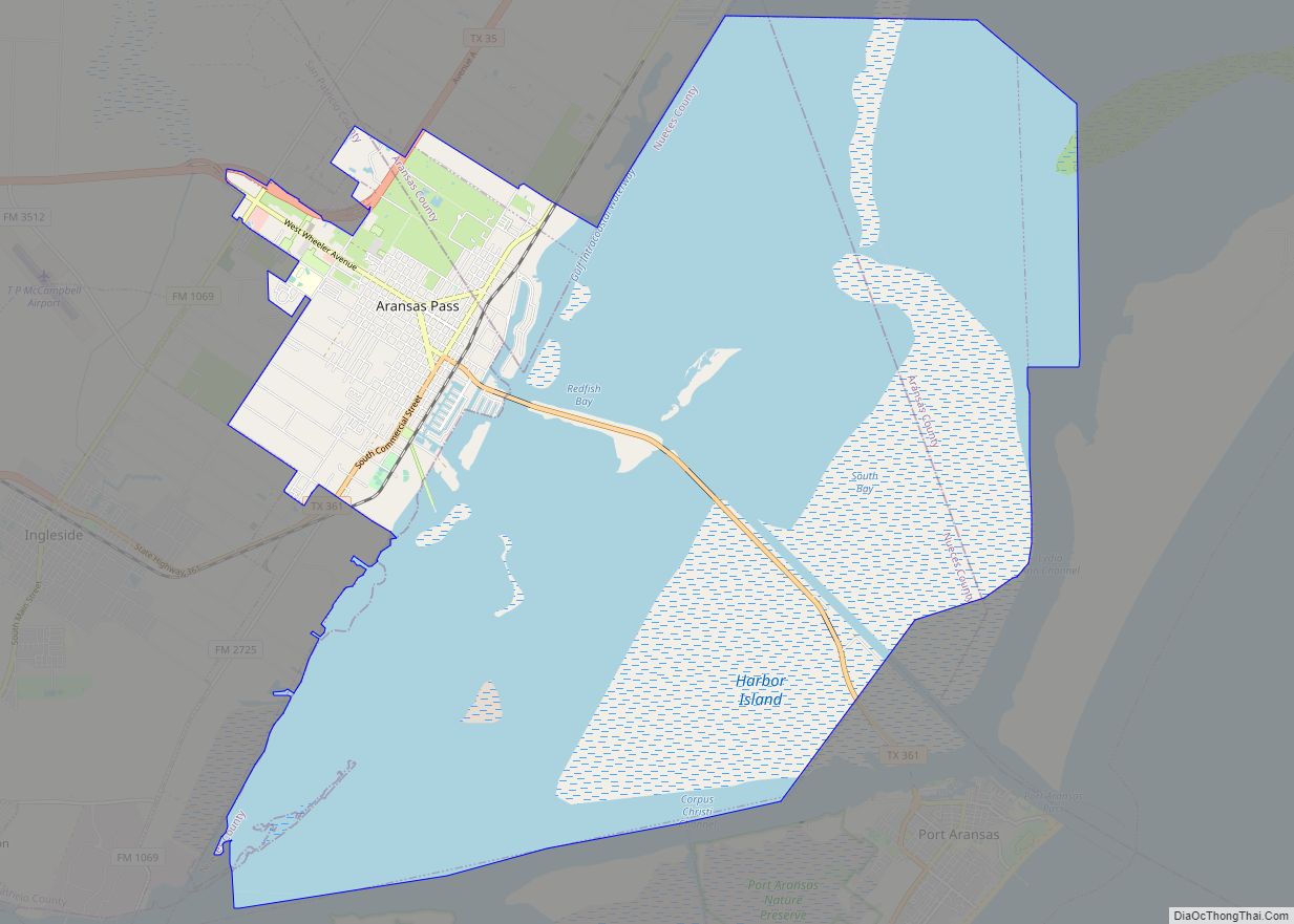
Rockport is a city and county seat of Aransas County, Texas, United States. The population was 8,766 at the 2010 census.
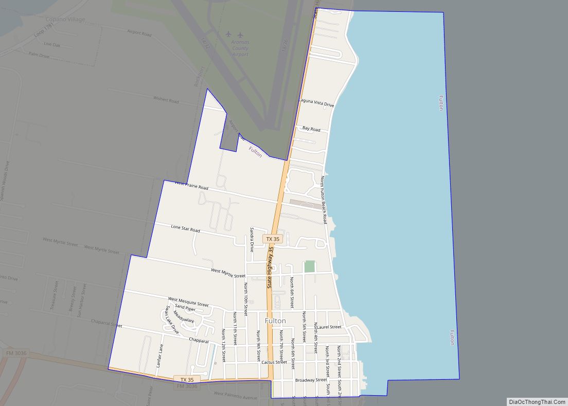
Rockport is adjacent to the town of Fulton, and many refer to the combined communities as “Rockport-Fulton”; however, Rockport and Fulton are legally separate municipalities.
| Name: | Rockport city |
|---|---|
| LSAD Code: | 25 |
| LSAD Description: | city (suffix) |
| State: | Texas |
| County: | Aransas County |
| Incorporated: | August 18, 1870 |
| Elevation: | 7 ft (2 m) |
| Total Area: | 21.09 sq mi (54.63 km²) |
| Land Area: | 16.55 sq mi (42.85 km²) |
| Water Area: | 4.55 sq mi (11.78 km²) |
| Total Population: | 8,766 |
| Population Density: | 640.88/sq mi (247.45/km²) |
| ZIP code: | 78381-78382 |
| Area code: | 361 |
| FIPS code: | 4862804 |
| GNISfeature ID: | 1345420 |
| Website: | www.cityofrockport.com |
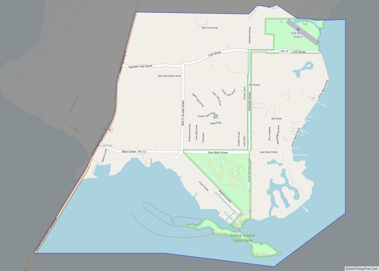
Online Interactive Map
Click on ![]() to view map in "full screen" mode.
to view map in "full screen" mode.
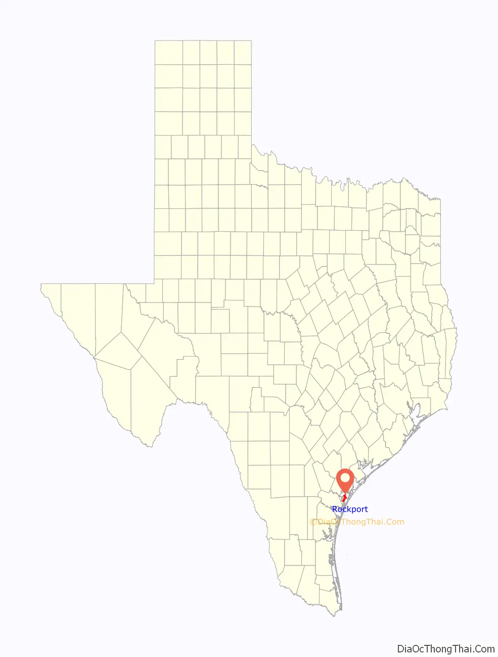
Rockport location map. Where is Rockport city?

History
19th Century
Following the Civil War, a number of people considered developing the Live Oak Peninsula. Joseph F. Smith, who had founded the nearby town of St. Mary’s in 1850, joined with Thomas H. Mathis and his cousin J.M. Mathis, who were agents of the Morgan Steamship line, and built a wharf at the site of what would later become the town of Rockport, in 1867. The same year, George W. Fulton and his wife, Texas heiress, and Joseph Smith’s cousin, Harriet Smith Fulton moved to her extensive land holdings on the peninsula. Fulton also took an interest in the development of Rockport, as well as creating the town of Fulton farther up the coastline. In response, a nascent cattle-slaughtering and packing operation at the wharf expanded rapidly, allowing Rockport to be officially incorporated as a town in 1870; its name arising from the rock ledge that runs along the shore. Thomas Mathis became Rockport’s first mayor after being appointed by the governor. A year later in 1871, the town achieved “city” status after continued growth.
In 1871, the Mathis cousins teamed up with local ranching families of George W. Fulton and Thomas M. Coleman to raise and slaughter cattle for shipment out of the city’s wharf on their steamship line. The partnership proved highly successful and continued to draw people and businesses to the city. The national Panic of 1873 took its share of the town’s prosperity and caused a slump for the next few years. The meatpacking market was slow to recover, and the Mathis cousins abandoned the ranching partnership in 1879. Fulton and Coleman then re-formed their ranching partnership, an organization that continued into the 1930s. For many years Fulton and others petitioned for the railroad to extend their lines to Rockport to provide a second source of transportation and break the Morgan Line’s monopoly on the Coastal Bend ports. After offering free rights of way across the Coleman-Fulton ranch, and hundreds of acres in town lots, finally, in 1888 the railroad arrived. The Morgan Steamship company now had competition, and as the local cattle ranchers began shipping live cattle by train, The Morgan Line withdrew from serving the Coastal Bend. Another brief growth spurt began and soon ended, here and across Texas, due to some bad winters and the development of the cattle industry in the mid-west. The railroad, however, brought tourists, and the city’s economy grew with several large hotels catering to that industry. Rockport’s economy soon came to be dominated by shipbuilding and tourism toward the end of the 19th century. At the same time, the railroad offered speedy transportation for crops, and a land boom caused by farming followed until brought to a halt with the national Panic of 1893.
20th Century
Rockport’s economy continued struggling into the early 20th century and took another hit in 1919 when a major hurricane decimated the region. A slow recovery ensued stalling additional development. The city’s fortunes however began to improve in 1925 following the establishment of a lucrative shrimping industry which grew further during the 1930s and benefited from the construction of a harbor in 1935. Shrimping activity decreased during World War II but recovered thereafter, boosting the town along with an important boat-building industry that developed in this period as well. By the century’s end, shrimping continued to be an important part of the Rockport economy alongside fishing and tourism.
21st Century
On August 25, 2017 Hurricane Harvey (name now retired) made landfall near the city as a Category 4 storm on the Saffir–Simpson scale. Harvey caused one death and catastrophic damage. One person died in a house fire in the city, unable to be rescued due to the extreme weather conditions, entire blocks were destroyed by the hurricane’s violent eyewall winds, the city’s courthouse was severely damaged when a cargo trailer was hurled into it, coming to a stop halfway through the structure, the gymnasium of the Rockport-Fulton High School lost multiple walls while the school itself suffered considerable damage, many homes, apartment buildings, and businesses sustained major structural damage from the intense winds, and several were completely destroyed. Numerous boats were damaged or sunk at a marina in town, airplanes and structures were destroyed at the Aransas County Airport, and the Fairfield Inn was severely damaged as well, About 20 percent of Rockport’s population was displaced, as they were still unable to return to their homes a year after the hurricane.
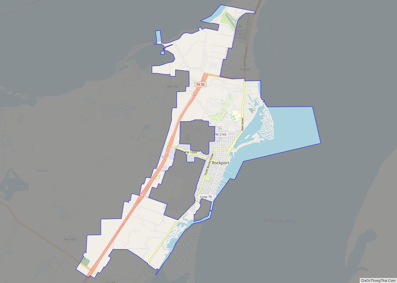
Rockport Road Map
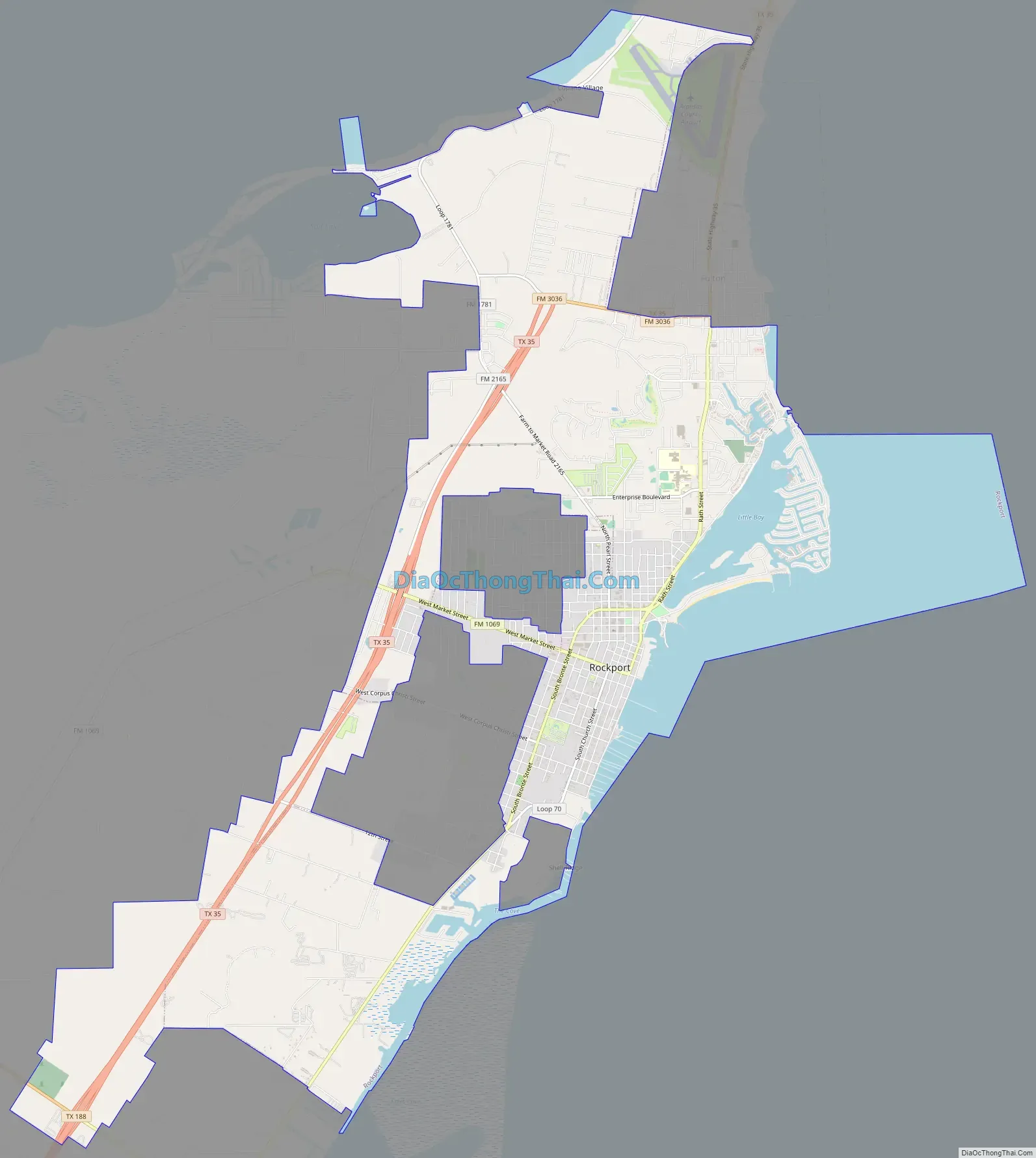
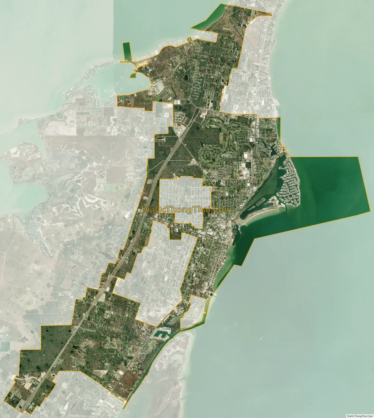
Rockport city Satellite Map
Geography
Rockport is located on the Live Oak Peninsula, which divides the western shore of Aransas Bay, an arm of the Gulf of Mexico, and the eastern shore of Copano Bay. According to the United States Census Bureau, the city has a total area of 18.5 square miles (47.9 km), of which 13.9 square miles (36.1 km) is land and 4.6 square miles (11.8 km), or 28.84%, is water.
Climate
The climate in this area is characterized by hot, humid summers and generally mild-to-cool winters. According to the Köppen Climate Classification system, Rockport has a humid subtropical climate, abbreviated “Cfa” on climate maps.
See also
Map of Texas State and its subdivision:- Anderson
- Andrews
- Angelina
- Aransas
- Archer
- Armstrong
- Atascosa
- Austin
- Bailey
- Bandera
- Bastrop
- Baylor
- Bee
- Bell
- Bexar
- Blanco
- Borden
- Bosque
- Bowie
- Brazoria
- Brazos
- Brewster
- Briscoe
- Brooks
- Brown
- Burleson
- Burnet
- Caldwell
- Calhoun
- Callahan
- Cameron
- Camp
- Carson
- Cass
- Castro
- Chambers
- Cherokee
- Childress
- Clay
- Cochran
- Coke
- Coleman
- Collin
- Collingsworth
- Colorado
- Comal
- Comanche
- Concho
- Cooke
- Coryell
- Cottle
- Crane
- Crockett
- Crosby
- Culberson
- Dallam
- Dallas
- Dawson
- Deaf Smith
- Delta
- Denton
- Dewitt
- Dickens
- Dimmit
- Donley
- Duval
- Eastland
- Ector
- Edwards
- El Paso
- Ellis
- Erath
- Falls
- Fannin
- Fayette
- Fisher
- Floyd
- Foard
- Fort Bend
- Franklin
- Freestone
- Frio
- Gaines
- Galveston
- Garza
- Gillespie
- Glasscock
- Goliad
- Gonzales
- Gray
- Grayson
- Gregg
- Grimes
- Guadalupe
- Hale
- Hall
- Hamilton
- Hansford
- Hardeman
- Hardin
- Harris
- Harrison
- Hartley
- Haskell
- Hays
- Hemphill
- Henderson
- Hidalgo
- Hill
- Hockley
- Hood
- Hopkins
- Houston
- Howard
- Hudspeth
- Hunt
- Hutchinson
- Irion
- Jack
- Jackson
- Jasper
- Jeff Davis
- Jefferson
- Jim Hogg
- Jim Wells
- Johnson
- Jones
- Karnes
- Kaufman
- Kendall
- Kenedy
- Kent
- Kerr
- Kimble
- King
- Kinney
- Kleberg
- Knox
- La Salle
- Lamar
- Lamb
- Lampasas
- Lavaca
- Lee
- Leon
- Liberty
- Limestone
- Lipscomb
- Live Oak
- Llano
- Loving
- Lubbock
- Lynn
- Madison
- Marion
- Martin
- Mason
- Matagorda
- Maverick
- McCulloch
- McLennan
- McMullen
- Medina
- Menard
- Midland
- Milam
- Mills
- Mitchell
- Montague
- Montgomery
- Moore
- Morris
- Motley
- Nacogdoches
- Navarro
- Newton
- Nolan
- Nueces
- Ochiltree
- Oldham
- Orange
- Palo Pinto
- Panola
- Parker
- Parmer
- Pecos
- Polk
- Potter
- Presidio
- Rains
- Randall
- Reagan
- Real
- Red River
- Reeves
- Refugio
- Roberts
- Robertson
- Rockwall
- Runnels
- Rusk
- Sabine
- San Augustine
- San Jacinto
- San Patricio
- San Saba
- Schleicher
- Scurry
- Shackelford
- Shelby
- Sherman
- Smith
- Somervell
- Starr
- Stephens
- Sterling
- Stonewall
- Sutton
- Swisher
- Tarrant
- Taylor
- Terrell
- Terry
- Throckmorton
- Titus
- Tom Green
- Travis
- Trinity
- Tyler
- Upshur
- Upton
- Uvalde
- Val Verde
- Van Zandt
- Victoria
- Walker
- Waller
- Ward
- Washington
- Webb
- Wharton
- Wheeler
- Wichita
- Wilbarger
- Willacy
- Williamson
- Wilson
- Winkler
- Wise
- Wood
- Yoakum
- Young
- Zapata
- Zavala
- Alabama
- Alaska
- Arizona
- Arkansas
- California
- Colorado
- Connecticut
- Delaware
- District of Columbia
- Florida
- Georgia
- Hawaii
- Idaho
- Illinois
- Indiana
- Iowa
- Kansas
- Kentucky
- Louisiana
- Maine
- Maryland
- Massachusetts
- Michigan
- Minnesota
- Mississippi
- Missouri
- Montana
- Nebraska
- Nevada
- New Hampshire
- New Jersey
- New Mexico
- New York
- North Carolina
- North Dakota
- Ohio
- Oklahoma
- Oregon
- Pennsylvania
- Rhode Island
- South Carolina
- South Dakota
- Tennessee
- Texas
- Utah
- Vermont
- Virginia
- Washington
- West Virginia
- Wisconsin
- Wyoming