San Elizario is a city in El Paso County, Texas, United States. Its population was 13,603 at the 2010 census. It is part of the El Paso metropolitan statistical area. It lies on the Rio Grande, which forms the border between the United States and Mexico. The city of Socorro adjoins it on the west and the town of Clint lies to the north.
| Name: | San Elizario city |
|---|---|
| LSAD Code: | 25 |
| LSAD Description: | city (suffix) |
| State: | Texas |
| County: | El Paso County |
| Incorporated: | November 5, 2013 |
| Elevation: | 3,642 ft (1,110 m) |
| Total Area: | 6.89 sq mi (17.83 km²) |
| Land Area: | 6.88 sq mi (17.83 km²) |
| Water Area: | 0.00 sq mi (0.01 km²) |
| Total Population: | 13,603 |
| Population Density: | 1,320.50/sq mi (509.87/km²) |
| ZIP code: | 79849 |
| Area code: | 915 |
| FIPS code: | 4865360 |
| GNISfeature ID: | 1367493 |
| Website: | cityofsanelizario.com |
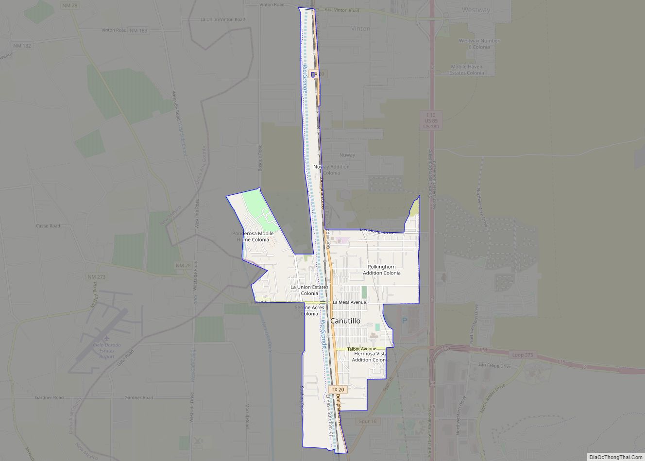
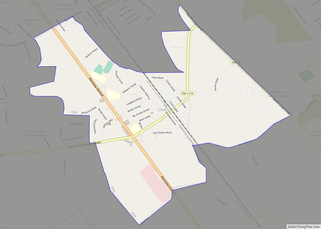
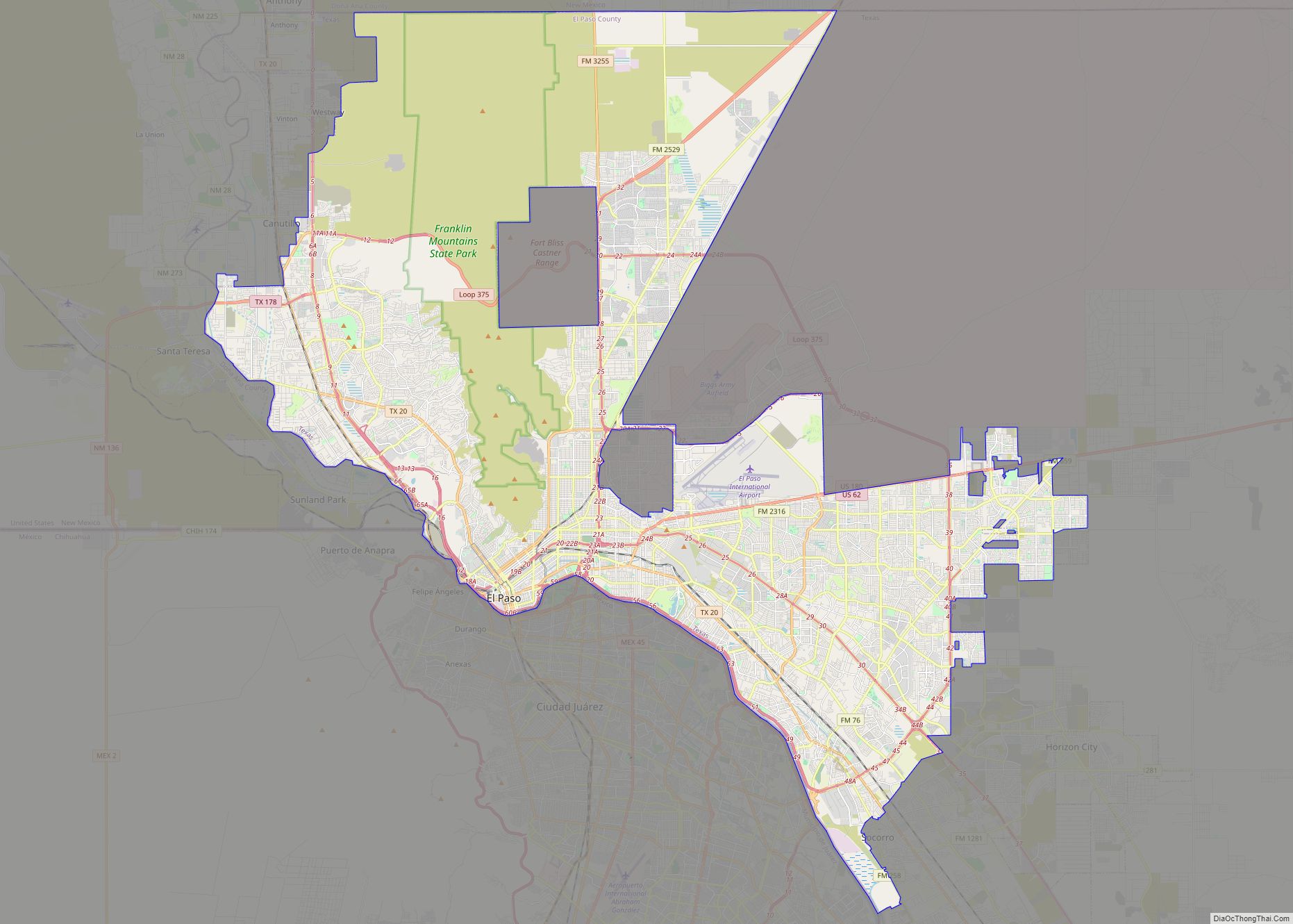
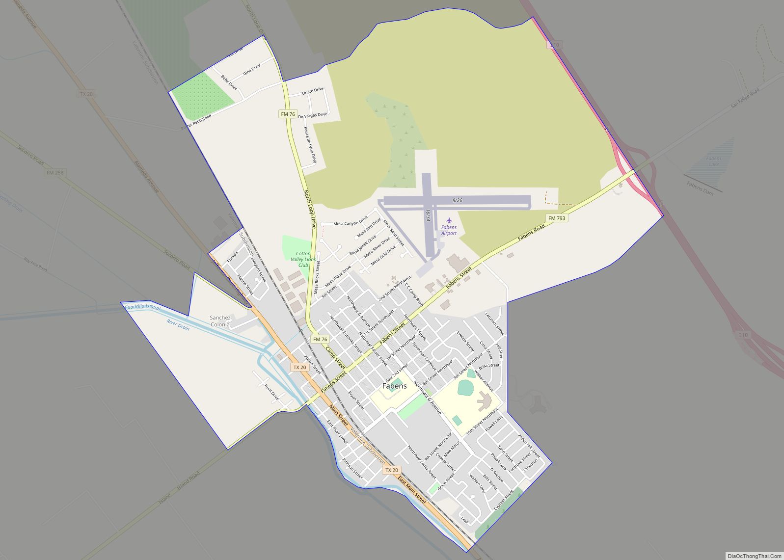
Online Interactive Map
Click on ![]() to view map in "full screen" mode.
to view map in "full screen" mode.
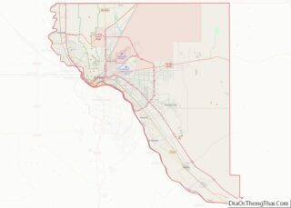
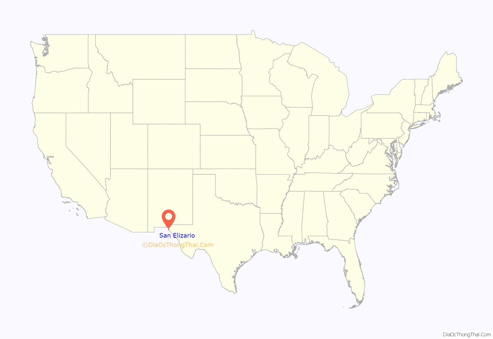
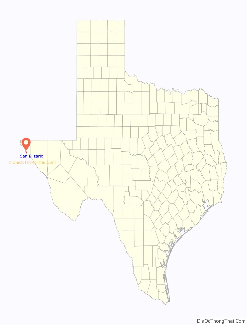
San Elizario location map. Where is San Elizario city?
History
La Toma: The Official Act of Possession
In 1598, Don Juan de Oñate, a Spanish nobleman and conquistador born in Zacatecas, Mexico, led a group of 539 colonists and 7,000 head of livestock (including horses, oxen, and cattle) from southern Chihuahua to settle the province of New Mexico. The caravan traveled a northeasterly route for weeks across the desert until it reached the banks of the Rio Grande in the San Elizario area. A mass was held, a blessing of the standard and a celebration. Oñate performed the ceremony of La Toma (“Taking Possession”), in which he claimed the new province for King Philip II of Spain. This is considered to be the “Birth of the American Southwest”.
Hacienda de los Tiburcios
The settlement that became San Elizario was first established sometime before 1760 as the civilian settlement of Hacienda de los Tiburcios. The hacienda was located along the route of Camino Real de Tierra Adentro southeast of Socorro on the west bank of the Rio Grande. The hacienda was eventually abandoned by the 1770s.
Presidio San Elzeario
In 1789, the site of the old hacienda Tiburcios became the new site where the Spaniards relocated a fort called Presidio de San Elzeario. It had originally been established in 1774, located farther south in the El Paso Valley near the site of modern El Porvenir. It had been moved north to be better able to protect the Camino Real and the towns of to its north, Socorro and Ysleta.
The town that grew up around the presidio took its name San Elzeario, or San Elceario (Spanish for Saint Elzear); Saint Elzéar of Sabran is the Roman Catholic patron saint of soldiers. After the Americans acquired the town at the end of the Mexican American War, its name was Americanized as San Elizario.
San Elizario
San Elizario was El Paso County’s original county seat.
In 1877, a conflict, the Salt War, broke out between the town and a troop of Texas Rangers. The Rangers surrendered and two were massacred by the local population. The perpetrators then fled into Mexico and the town lost much of its status.
San Elizario was incorporated several times between 1871 and 1911, with another unsuccessful attempt at incorporation made in 1986. On November 5, 2013, San Elizario residents voted to re-incorporate the town, having successfully fought off an attempt by Socorro to annex a portion of it, and San Elizario was officially incorporated when El Paso County Judge Veronica Escobar signed an order of incorporation on November 18, 2013.
On May 10, 2014, Maya Sanchez, who led the push to incorporate San Elizario, was elected mayor by a wide margin over two other candidates, while Leticia Hurtado-Miranda, David Cantu, Miguel Najera, Jr., Rebecca Martinez-Juarez, and George Almanzar were elected to the five city council seats.
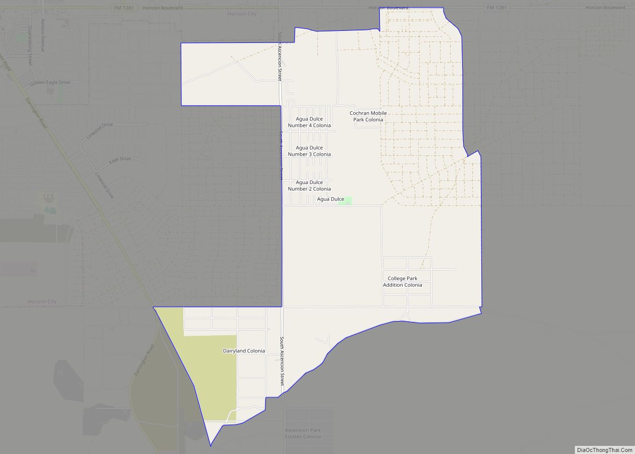
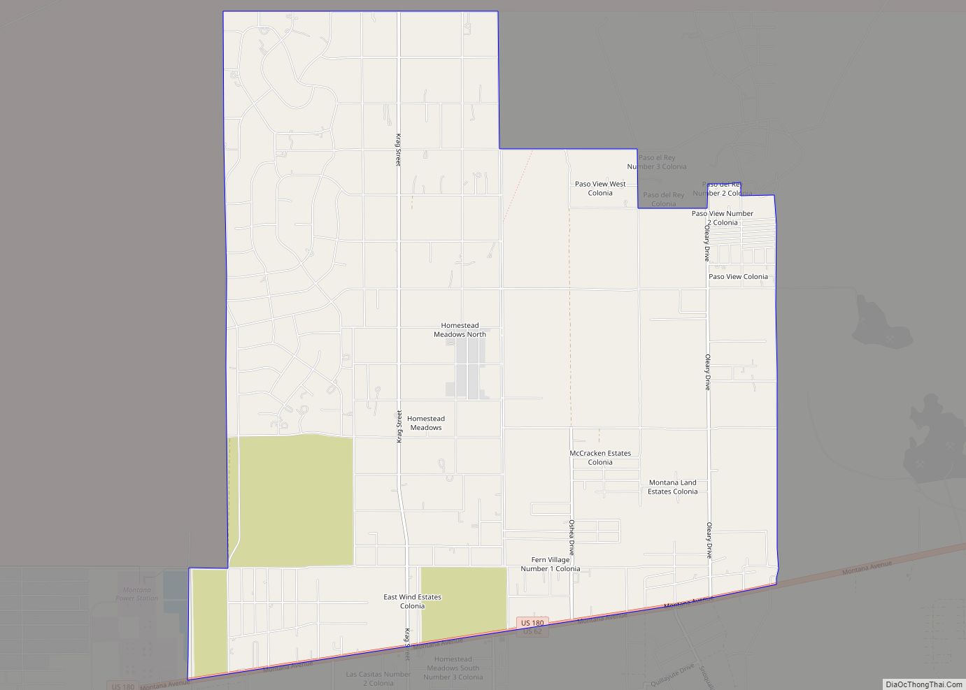
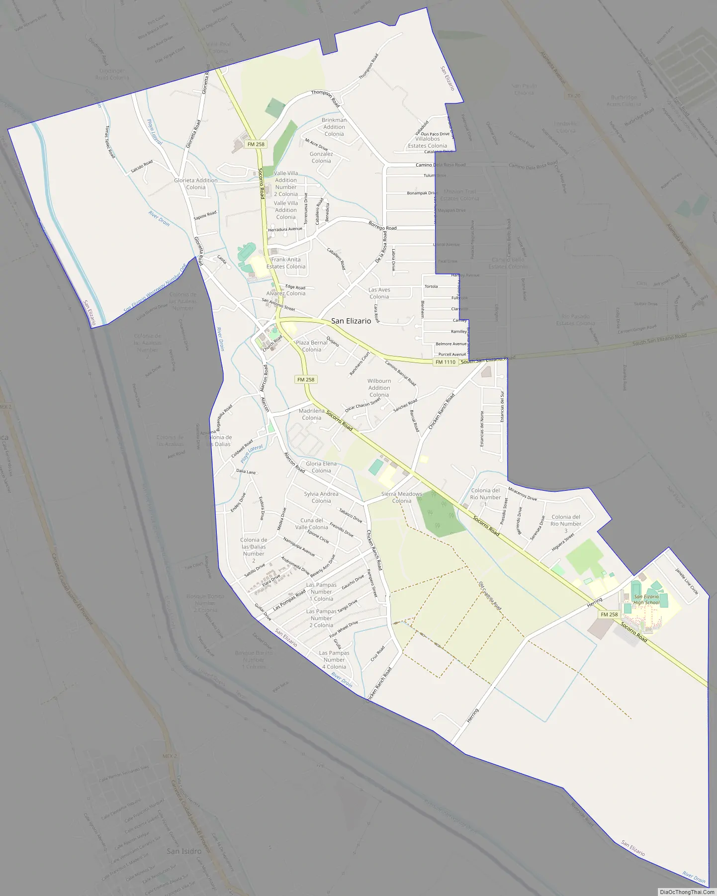
San Elizario Road Map
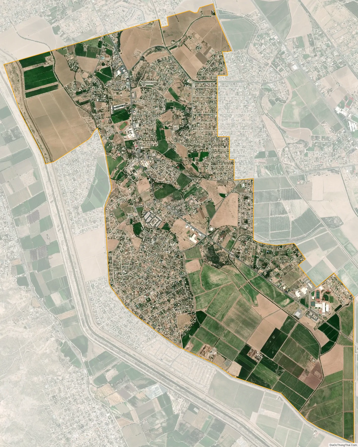
San Elizario city Satellite Map
Geography
San Elizario is located at 31°34′58″N 106°15′57″W / 31.58278°N 106.26583°W / 31.58278; -106.26583 (31.582873, –106.265703), right next to the river.
According to the United States Census Bureau, the city has a total area of 6.885 square miles (17.833 km), of which 0.0027 square miles (0.007 km) is covered by water.
See also
Map of Texas State and its subdivision:- Anderson
- Andrews
- Angelina
- Aransas
- Archer
- Armstrong
- Atascosa
- Austin
- Bailey
- Bandera
- Bastrop
- Baylor
- Bee
- Bell
- Bexar
- Blanco
- Borden
- Bosque
- Bowie
- Brazoria
- Brazos
- Brewster
- Briscoe
- Brooks
- Brown
- Burleson
- Burnet
- Caldwell
- Calhoun
- Callahan
- Cameron
- Camp
- Carson
- Cass
- Castro
- Chambers
- Cherokee
- Childress
- Clay
- Cochran
- Coke
- Coleman
- Collin
- Collingsworth
- Colorado
- Comal
- Comanche
- Concho
- Cooke
- Coryell
- Cottle
- Crane
- Crockett
- Crosby
- Culberson
- Dallam
- Dallas
- Dawson
- Deaf Smith
- Delta
- Denton
- Dewitt
- Dickens
- Dimmit
- Donley
- Duval
- Eastland
- Ector
- Edwards
- El Paso
- Ellis
- Erath
- Falls
- Fannin
- Fayette
- Fisher
- Floyd
- Foard
- Fort Bend
- Franklin
- Freestone
- Frio
- Gaines
- Galveston
- Garza
- Gillespie
- Glasscock
- Goliad
- Gonzales
- Gray
- Grayson
- Gregg
- Grimes
- Guadalupe
- Hale
- Hall
- Hamilton
- Hansford
- Hardeman
- Hardin
- Harris
- Harrison
- Hartley
- Haskell
- Hays
- Hemphill
- Henderson
- Hidalgo
- Hill
- Hockley
- Hood
- Hopkins
- Houston
- Howard
- Hudspeth
- Hunt
- Hutchinson
- Irion
- Jack
- Jackson
- Jasper
- Jeff Davis
- Jefferson
- Jim Hogg
- Jim Wells
- Johnson
- Jones
- Karnes
- Kaufman
- Kendall
- Kenedy
- Kent
- Kerr
- Kimble
- King
- Kinney
- Kleberg
- Knox
- La Salle
- Lamar
- Lamb
- Lampasas
- Lavaca
- Lee
- Leon
- Liberty
- Limestone
- Lipscomb
- Live Oak
- Llano
- Loving
- Lubbock
- Lynn
- Madison
- Marion
- Martin
- Mason
- Matagorda
- Maverick
- McCulloch
- McLennan
- McMullen
- Medina
- Menard
- Midland
- Milam
- Mills
- Mitchell
- Montague
- Montgomery
- Moore
- Morris
- Motley
- Nacogdoches
- Navarro
- Newton
- Nolan
- Nueces
- Ochiltree
- Oldham
- Orange
- Palo Pinto
- Panola
- Parker
- Parmer
- Pecos
- Polk
- Potter
- Presidio
- Rains
- Randall
- Reagan
- Real
- Red River
- Reeves
- Refugio
- Roberts
- Robertson
- Rockwall
- Runnels
- Rusk
- Sabine
- San Augustine
- San Jacinto
- San Patricio
- San Saba
- Schleicher
- Scurry
- Shackelford
- Shelby
- Sherman
- Smith
- Somervell
- Starr
- Stephens
- Sterling
- Stonewall
- Sutton
- Swisher
- Tarrant
- Taylor
- Terrell
- Terry
- Throckmorton
- Titus
- Tom Green
- Travis
- Trinity
- Tyler
- Upshur
- Upton
- Uvalde
- Val Verde
- Van Zandt
- Victoria
- Walker
- Waller
- Ward
- Washington
- Webb
- Wharton
- Wheeler
- Wichita
- Wilbarger
- Willacy
- Williamson
- Wilson
- Winkler
- Wise
- Wood
- Yoakum
- Young
- Zapata
- Zavala
- Alabama
- Alaska
- Arizona
- Arkansas
- California
- Colorado
- Connecticut
- Delaware
- District of Columbia
- Florida
- Georgia
- Hawaii
- Idaho
- Illinois
- Indiana
- Iowa
- Kansas
- Kentucky
- Louisiana
- Maine
- Maryland
- Massachusetts
- Michigan
- Minnesota
- Mississippi
- Missouri
- Montana
- Nebraska
- Nevada
- New Hampshire
- New Jersey
- New Mexico
- New York
- North Carolina
- North Dakota
- Ohio
- Oklahoma
- Oregon
- Pennsylvania
- Rhode Island
- South Carolina
- South Dakota
- Tennessee
- Texas
- Utah
- Vermont
- Virginia
- Washington
- West Virginia
- Wisconsin
- Wyoming