Selma is a city in Bexar, Comal, and Guadalupe Counties in the U.S. state of Texas. It is part of the San Antonio metropolitan statistical area. Its population was 10,952 at the 2020 census, up from 5,540 at the 2010 census. Selma was settled by German and Polish immigrants in the mid 1800s.
The Retama Park horse-racing track is located in Selma.
| Name: | Selma city |
|---|---|
| LSAD Code: | 25 |
| LSAD Description: | city (suffix) |
| State: | Texas |
| County: | Bexar County, Comal County, Guadalupe County |
| Incorporated: | 1964 |
| Elevation: | 755 ft (230 m) |
| Total Area: | 5.04 sq mi (13.06 km²) |
| Land Area: | 5.04 sq mi (13.04 km²) |
| Water Area: | 0.00 sq mi (0.01 km²) |
| Total Population: | 10,952 |
| Population Density: | 2,210.48/sq mi (853.40/km²) |
| ZIP code: | 78154 |
| Area code: | 210, 726 (planned) |
| FIPS code: | 4866704 |
| GNISfeature ID: | 1346886 |
| Website: | ci.selma.tx.us |
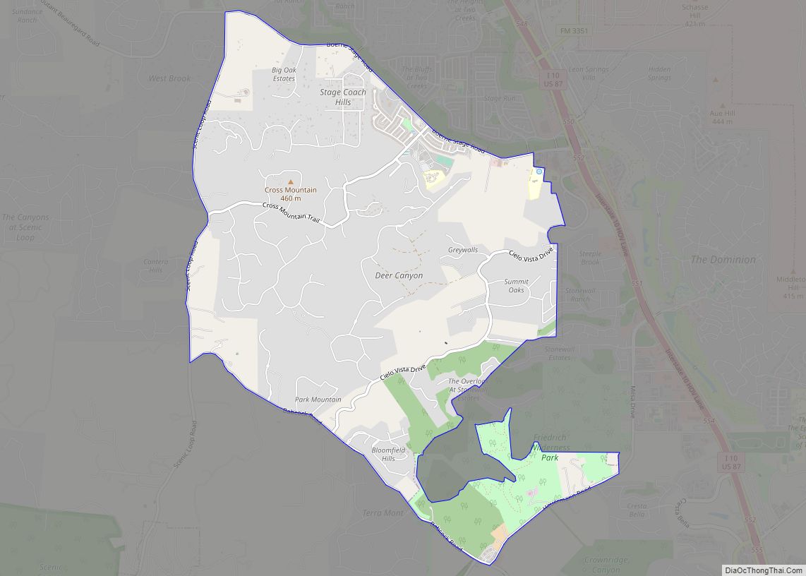
Online Interactive Map
Click on ![]() to view map in "full screen" mode.
to view map in "full screen" mode.
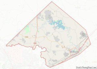
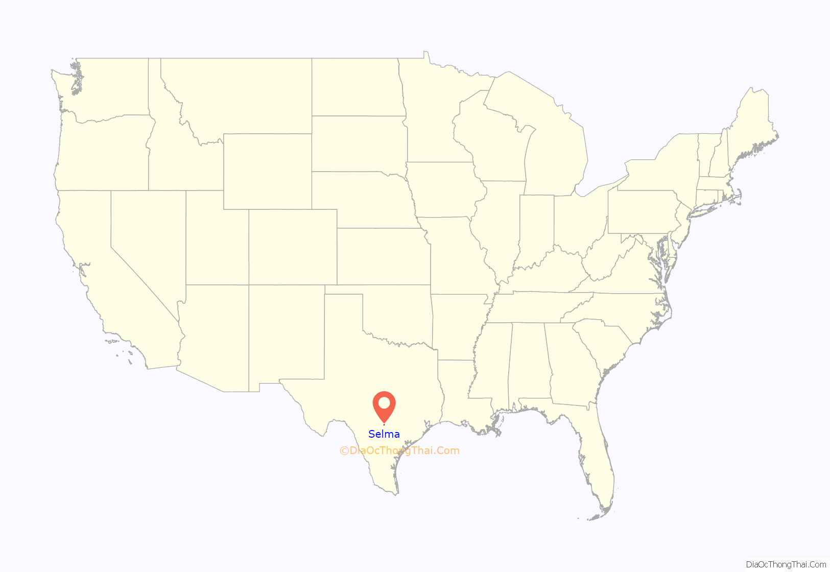
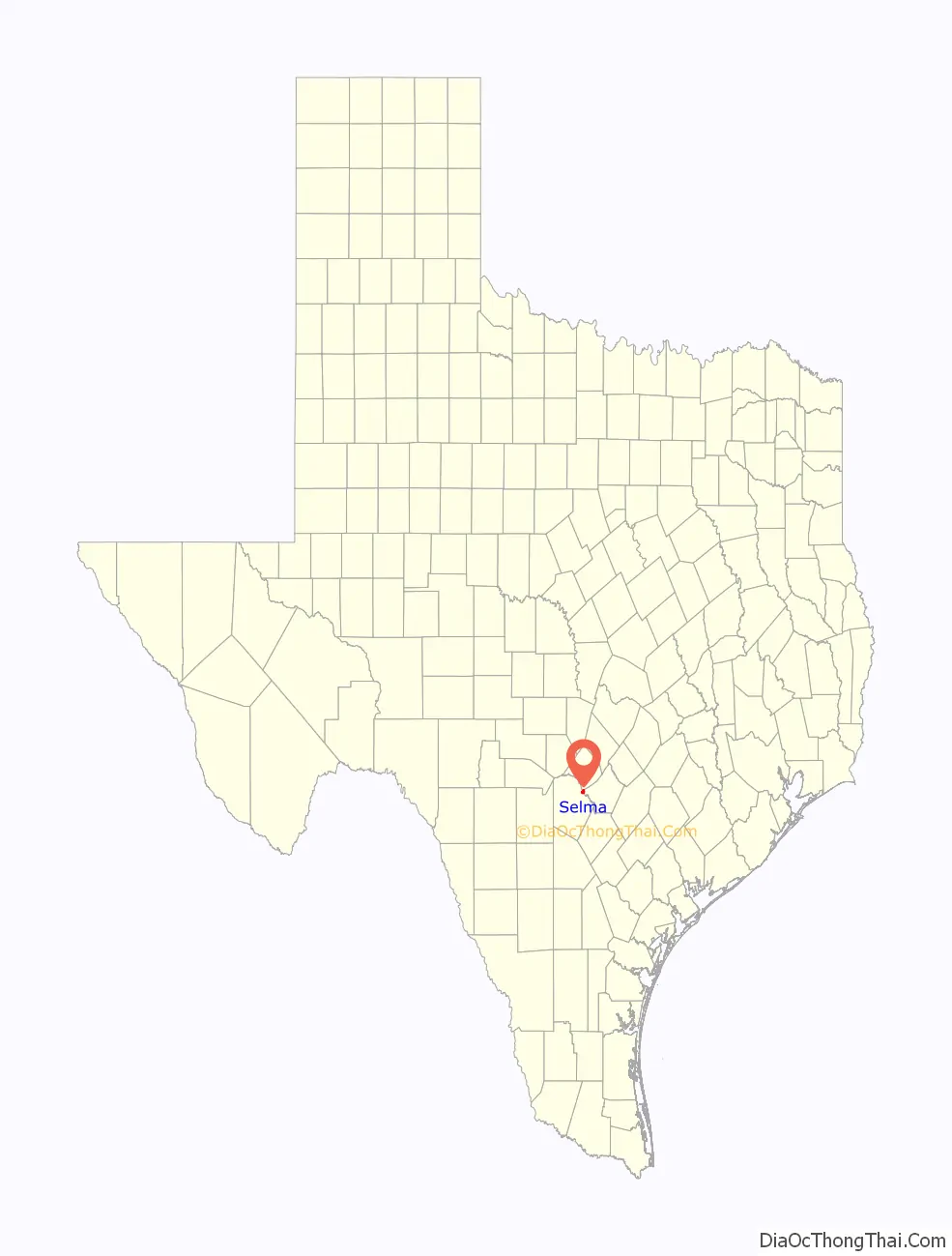
Selma location map. Where is Selma city?
History
Selma was settled in 1847 by immigrants from several European countries. The name Selma is a traditional German girl’s name. In 1849, the Harrison and Brown stagecoach stop was built in Selma to handle passengers and freight on the San Antonio to Austin stagecoach line. John Harrison and his wife Martha moved to Selma in 1852, and he became the first postmaster of the town when the post office opened in 1856. Harrison was also co-owner of the Harrison and McCulloch stage line, which ran a postal route through Selma. Harrison’s house still stands by Cibolo Creek, where it was built and is listed on the National Register of Historic Places.
German and Polish immigrants constituted most of the next wave of immigrants who settled in the area. By 1885, the population was 145, and at the turn of the century, the population peaked at 600. The population began a quick decline, so much that by 1906, the post office was closed. Selma’s population dropped to 100 in 1940. The city incorporated in 1964 and has seen tremendous growth along the Interstate 35 corridor since 2000.
The Retama Racing Park opened in 1995, and The Forum, a 110-shop outdoor mall, opened in 2000. The old Harrison and Brown stagecoach stop was restored and rechristened the Selma Stage Stop, along with a visitor’s center and park.
Today, Selma is a bustling suburb of San Antonio, but it retains its German and European heritage in its name and in the descendants of Europeans who still call this town home.
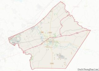
Selma Road Map
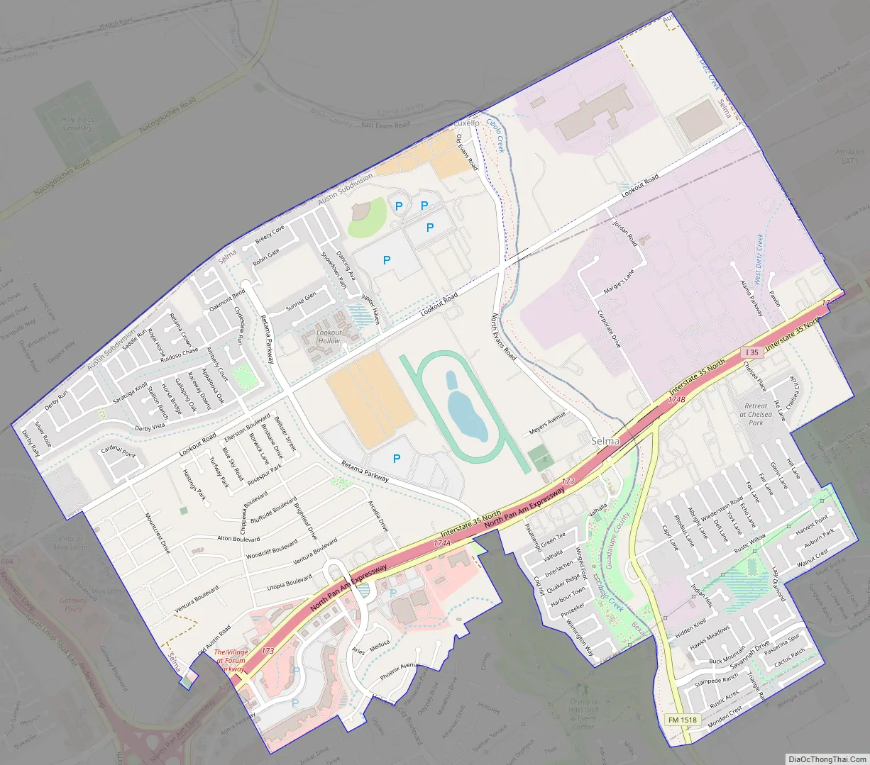
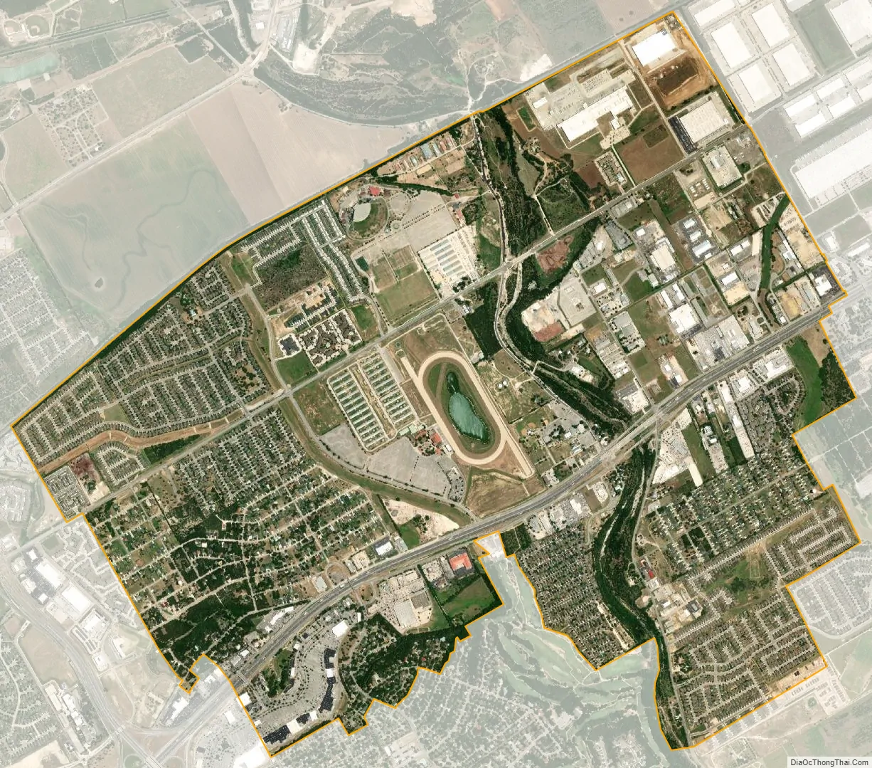
Selma city Satellite Map
Geography
Selma has territory in Guadalupe, Bexar and Comal Counties. The coordinates of the city center, 29°35′4″N 98°18′21″W / 29.58444°N 98.30583°W / 29.58444; -98.30583, is located in northern Bexar County, but City Hall, at 9375 Corporate Drive, is located in Guadalupe County, across the border from the city center. The city is bordered by Schertz to the east, Universal City to the south, Live Oak to the southwest, and part of San Antonio to the northwest. The center of Selma is 18 miles (29 km) northeast of downtown San Antonio and 13 miles (21 km) southwest of New Braunfels.
- I-35 runs through the south-central part of the community, with access from exits 173 and 174.
According to the United States Census Bureau, the city has a total area of 5.1 square miles (13.1 km), of which 0.004 square miles (0.01 km), or 0.09%, is covered by water.
See also
Map of Texas State and its subdivision:- Anderson
- Andrews
- Angelina
- Aransas
- Archer
- Armstrong
- Atascosa
- Austin
- Bailey
- Bandera
- Bastrop
- Baylor
- Bee
- Bell
- Bexar
- Blanco
- Borden
- Bosque
- Bowie
- Brazoria
- Brazos
- Brewster
- Briscoe
- Brooks
- Brown
- Burleson
- Burnet
- Caldwell
- Calhoun
- Callahan
- Cameron
- Camp
- Carson
- Cass
- Castro
- Chambers
- Cherokee
- Childress
- Clay
- Cochran
- Coke
- Coleman
- Collin
- Collingsworth
- Colorado
- Comal
- Comanche
- Concho
- Cooke
- Coryell
- Cottle
- Crane
- Crockett
- Crosby
- Culberson
- Dallam
- Dallas
- Dawson
- Deaf Smith
- Delta
- Denton
- Dewitt
- Dickens
- Dimmit
- Donley
- Duval
- Eastland
- Ector
- Edwards
- El Paso
- Ellis
- Erath
- Falls
- Fannin
- Fayette
- Fisher
- Floyd
- Foard
- Fort Bend
- Franklin
- Freestone
- Frio
- Gaines
- Galveston
- Garza
- Gillespie
- Glasscock
- Goliad
- Gonzales
- Gray
- Grayson
- Gregg
- Grimes
- Guadalupe
- Hale
- Hall
- Hamilton
- Hansford
- Hardeman
- Hardin
- Harris
- Harrison
- Hartley
- Haskell
- Hays
- Hemphill
- Henderson
- Hidalgo
- Hill
- Hockley
- Hood
- Hopkins
- Houston
- Howard
- Hudspeth
- Hunt
- Hutchinson
- Irion
- Jack
- Jackson
- Jasper
- Jeff Davis
- Jefferson
- Jim Hogg
- Jim Wells
- Johnson
- Jones
- Karnes
- Kaufman
- Kendall
- Kenedy
- Kent
- Kerr
- Kimble
- King
- Kinney
- Kleberg
- Knox
- La Salle
- Lamar
- Lamb
- Lampasas
- Lavaca
- Lee
- Leon
- Liberty
- Limestone
- Lipscomb
- Live Oak
- Llano
- Loving
- Lubbock
- Lynn
- Madison
- Marion
- Martin
- Mason
- Matagorda
- Maverick
- McCulloch
- McLennan
- McMullen
- Medina
- Menard
- Midland
- Milam
- Mills
- Mitchell
- Montague
- Montgomery
- Moore
- Morris
- Motley
- Nacogdoches
- Navarro
- Newton
- Nolan
- Nueces
- Ochiltree
- Oldham
- Orange
- Palo Pinto
- Panola
- Parker
- Parmer
- Pecos
- Polk
- Potter
- Presidio
- Rains
- Randall
- Reagan
- Real
- Red River
- Reeves
- Refugio
- Roberts
- Robertson
- Rockwall
- Runnels
- Rusk
- Sabine
- San Augustine
- San Jacinto
- San Patricio
- San Saba
- Schleicher
- Scurry
- Shackelford
- Shelby
- Sherman
- Smith
- Somervell
- Starr
- Stephens
- Sterling
- Stonewall
- Sutton
- Swisher
- Tarrant
- Taylor
- Terrell
- Terry
- Throckmorton
- Titus
- Tom Green
- Travis
- Trinity
- Tyler
- Upshur
- Upton
- Uvalde
- Val Verde
- Van Zandt
- Victoria
- Walker
- Waller
- Ward
- Washington
- Webb
- Wharton
- Wheeler
- Wichita
- Wilbarger
- Willacy
- Williamson
- Wilson
- Winkler
- Wise
- Wood
- Yoakum
- Young
- Zapata
- Zavala
- Alabama
- Alaska
- Arizona
- Arkansas
- California
- Colorado
- Connecticut
- Delaware
- District of Columbia
- Florida
- Georgia
- Hawaii
- Idaho
- Illinois
- Indiana
- Iowa
- Kansas
- Kentucky
- Louisiana
- Maine
- Maryland
- Massachusetts
- Michigan
- Minnesota
- Mississippi
- Missouri
- Montana
- Nebraska
- Nevada
- New Hampshire
- New Jersey
- New Mexico
- New York
- North Carolina
- North Dakota
- Ohio
- Oklahoma
- Oregon
- Pennsylvania
- Rhode Island
- South Carolina
- South Dakota
- Tennessee
- Texas
- Utah
- Vermont
- Virginia
- Washington
- West Virginia
- Wisconsin
- Wyoming