Spring Branch is a city located in Comal County, Texas, United States. It has approximately 250 residents. The community voted to incorporate in an election held on November 3, 2015 and Spring Branch officially became a city on November 19, 2015.
Originally settled by Germans in the 19th century, Spring Branch is named for a spring fed creek that flows into the Guadalupe River.
| Name: | Spring Branch city |
|---|---|
| LSAD Code: | 25 |
| LSAD Description: | city (suffix) |
| State: | Texas |
| County: | Comal County |
| Incorporated: | November 19, 2015 |
| Elevation: | 1,116 ft (340 m) |
| Total Area: | 1.9 sq mi (4.9 km²) |
| Total Population: | 250 |
| Population Density: | 130/sq mi (51/km²) |
| ZIP code: | 78070 |
| Area code: | 830 |
| FIPS code: | 4869608 |
| GNISfeature ID: | 1380926 |
| Website: | http://cityofspringbranch.org/ |
Online Interactive Map
Click on ![]() to view map in "full screen" mode.
to view map in "full screen" mode.
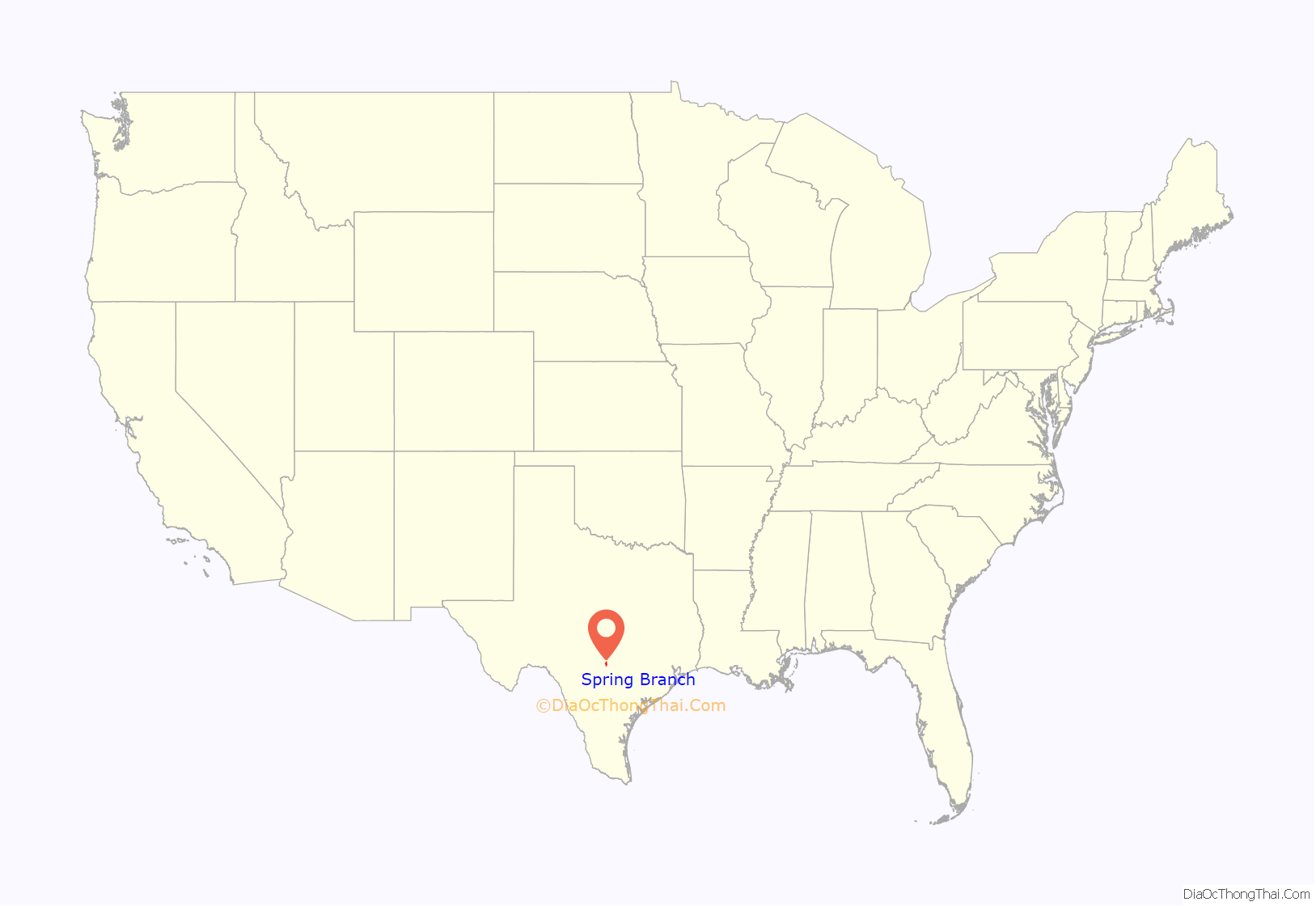
Spring Branch location map. Where is Spring Branch city?
History
A significant portion of Spring Branch that borders the Guadalupe River was first settled by German native Adam Becker (1815–1901). Becker journeyed to Texas in 1845 to join Prince Carl of Solms-Braunfels in establishing a colony on behalf of the Adelsverein, also known as the German Emigration Company. Becker contributed to the building of Fredericksburg, Texas, and assisted with other aspects of the colony. He married Elizabeth Monken and by 1852 had established his homestead on what is now Phantom Rider Trail in Spring Branch. On his homestead, he raised cattle. The house he built for his family, which was privately restored in the first decade of the 21st century, was constructed of locally quarried stone and hand-hewn cypress from the banks of the nearby Guadalupe River. Adam Becker became a United States citizen in 1860 and upon his death in 1901 was buried in the cemetery on his homestead.
Incorporation
The movement to incorporate Spring Branch was initiated over concerns that the area could possibly be annexed into the growing city of Bulverde, which lies to the south. Voters in Bulverde adopted a home rule charter in May 2015 that would allow the city to involuntarily annex bordering properties, including portions of the Spring Branch community. Supporters of the measure also cited local control and preservating the character of the community as further reasons to incorporate. Opponents questioned the economic viability of incorporating a small community with a limited tax base to fund and provide city services. Others expressed the desire to remain unincorporated, but would also prefer having their own city to becoming part of Bulverde.
The petition to place the issue on the ballot was approved by the Comal County Commissioners Court on August 20, 2015. On November 3, 2015, a total of 80 votes were cast, 51 (63.75%) in favor of incorporation and 29 (36.25%) against. Voters also elected a mayor and two commissioners. On November 12, the County Commissioners certified the election results and an official Order of Incorporation was issued by Judge Sherman Krause on November 19.
The elected mayor, James Mayer, and commissioners Brad Hockman and Danny Moore were sworn in on December 11, 2015.
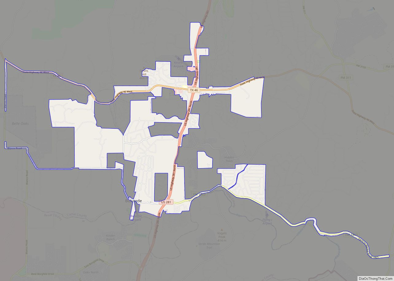
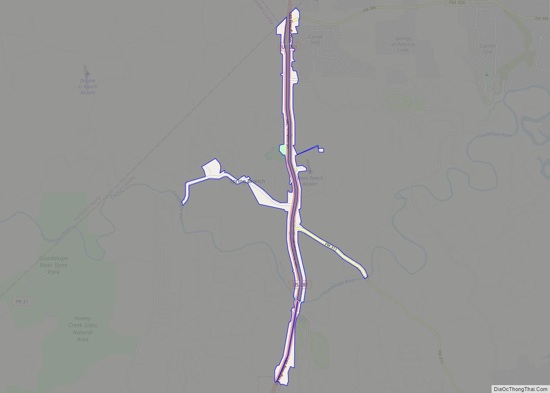
Spring Branch Road Map
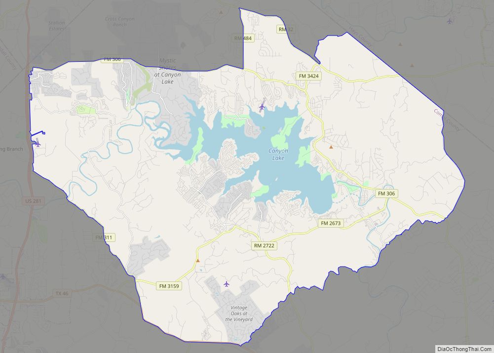
Spring Branch city Satellite Map
Geography
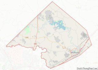
Spring Branch is located in western Comal County along U.S. Highway 281, north of Bulverde, west of Canyon Lake and the surrounding unincorporated community of the same name. New Braunfels is approximately 21 miles (34 km) southeast of Spring Branch. The city covers 1.9 square miles.
See also
Map of Texas State and its subdivision:- Anderson
- Andrews
- Angelina
- Aransas
- Archer
- Armstrong
- Atascosa
- Austin
- Bailey
- Bandera
- Bastrop
- Baylor
- Bee
- Bell
- Bexar
- Blanco
- Borden
- Bosque
- Bowie
- Brazoria
- Brazos
- Brewster
- Briscoe
- Brooks
- Brown
- Burleson
- Burnet
- Caldwell
- Calhoun
- Callahan
- Cameron
- Camp
- Carson
- Cass
- Castro
- Chambers
- Cherokee
- Childress
- Clay
- Cochran
- Coke
- Coleman
- Collin
- Collingsworth
- Colorado
- Comal
- Comanche
- Concho
- Cooke
- Coryell
- Cottle
- Crane
- Crockett
- Crosby
- Culberson
- Dallam
- Dallas
- Dawson
- Deaf Smith
- Delta
- Denton
- Dewitt
- Dickens
- Dimmit
- Donley
- Duval
- Eastland
- Ector
- Edwards
- El Paso
- Ellis
- Erath
- Falls
- Fannin
- Fayette
- Fisher
- Floyd
- Foard
- Fort Bend
- Franklin
- Freestone
- Frio
- Gaines
- Galveston
- Garza
- Gillespie
- Glasscock
- Goliad
- Gonzales
- Gray
- Grayson
- Gregg
- Grimes
- Guadalupe
- Hale
- Hall
- Hamilton
- Hansford
- Hardeman
- Hardin
- Harris
- Harrison
- Hartley
- Haskell
- Hays
- Hemphill
- Henderson
- Hidalgo
- Hill
- Hockley
- Hood
- Hopkins
- Houston
- Howard
- Hudspeth
- Hunt
- Hutchinson
- Irion
- Jack
- Jackson
- Jasper
- Jeff Davis
- Jefferson
- Jim Hogg
- Jim Wells
- Johnson
- Jones
- Karnes
- Kaufman
- Kendall
- Kenedy
- Kent
- Kerr
- Kimble
- King
- Kinney
- Kleberg
- Knox
- La Salle
- Lamar
- Lamb
- Lampasas
- Lavaca
- Lee
- Leon
- Liberty
- Limestone
- Lipscomb
- Live Oak
- Llano
- Loving
- Lubbock
- Lynn
- Madison
- Marion
- Martin
- Mason
- Matagorda
- Maverick
- McCulloch
- McLennan
- McMullen
- Medina
- Menard
- Midland
- Milam
- Mills
- Mitchell
- Montague
- Montgomery
- Moore
- Morris
- Motley
- Nacogdoches
- Navarro
- Newton
- Nolan
- Nueces
- Ochiltree
- Oldham
- Orange
- Palo Pinto
- Panola
- Parker
- Parmer
- Pecos
- Polk
- Potter
- Presidio
- Rains
- Randall
- Reagan
- Real
- Red River
- Reeves
- Refugio
- Roberts
- Robertson
- Rockwall
- Runnels
- Rusk
- Sabine
- San Augustine
- San Jacinto
- San Patricio
- San Saba
- Schleicher
- Scurry
- Shackelford
- Shelby
- Sherman
- Smith
- Somervell
- Starr
- Stephens
- Sterling
- Stonewall
- Sutton
- Swisher
- Tarrant
- Taylor
- Terrell
- Terry
- Throckmorton
- Titus
- Tom Green
- Travis
- Trinity
- Tyler
- Upshur
- Upton
- Uvalde
- Val Verde
- Van Zandt
- Victoria
- Walker
- Waller
- Ward
- Washington
- Webb
- Wharton
- Wheeler
- Wichita
- Wilbarger
- Willacy
- Williamson
- Wilson
- Winkler
- Wise
- Wood
- Yoakum
- Young
- Zapata
- Zavala
- Alabama
- Alaska
- Arizona
- Arkansas
- California
- Colorado
- Connecticut
- Delaware
- District of Columbia
- Florida
- Georgia
- Hawaii
- Idaho
- Illinois
- Indiana
- Iowa
- Kansas
- Kentucky
- Louisiana
- Maine
- Maryland
- Massachusetts
- Michigan
- Minnesota
- Mississippi
- Missouri
- Montana
- Nebraska
- Nevada
- New Hampshire
- New Jersey
- New Mexico
- New York
- North Carolina
- North Dakota
- Ohio
- Oklahoma
- Oregon
- Pennsylvania
- Rhode Island
- South Carolina
- South Dakota
- Tennessee
- Texas
- Utah
- Vermont
- Virginia
- Washington
- West Virginia
- Wisconsin
- Wyoming
