Tom Bean is a city in Grayson County, Texas, United States. The population was 1,045 at the 2010 census, up from 941 at the 2000 census.
Tom Bean is part of the Sherman–Denison Metropolitan Statistical Area.
| Name: | Tom Bean city |
|---|---|
| LSAD Code: | 25 |
| LSAD Description: | city (suffix) |
| State: | Texas |
| County: | Grayson County |
| Elevation: | 820 ft (250 m) |
| Total Area: | 1.57 sq mi (4.08 km²) |
| Land Area: | 1.57 sq mi (4.08 km²) |
| Water Area: | 0.00 sq mi (0.00 km²) |
| Total Population: | 1,045 |
| Population Density: | 686.79/sq mi (265.11/km²) |
| ZIP code: | 75489 |
| Area code: | 903 |
| FIPS code: | 4873328 |
| GNISfeature ID: | 1369993 |
| Website: | www.tombean.net |
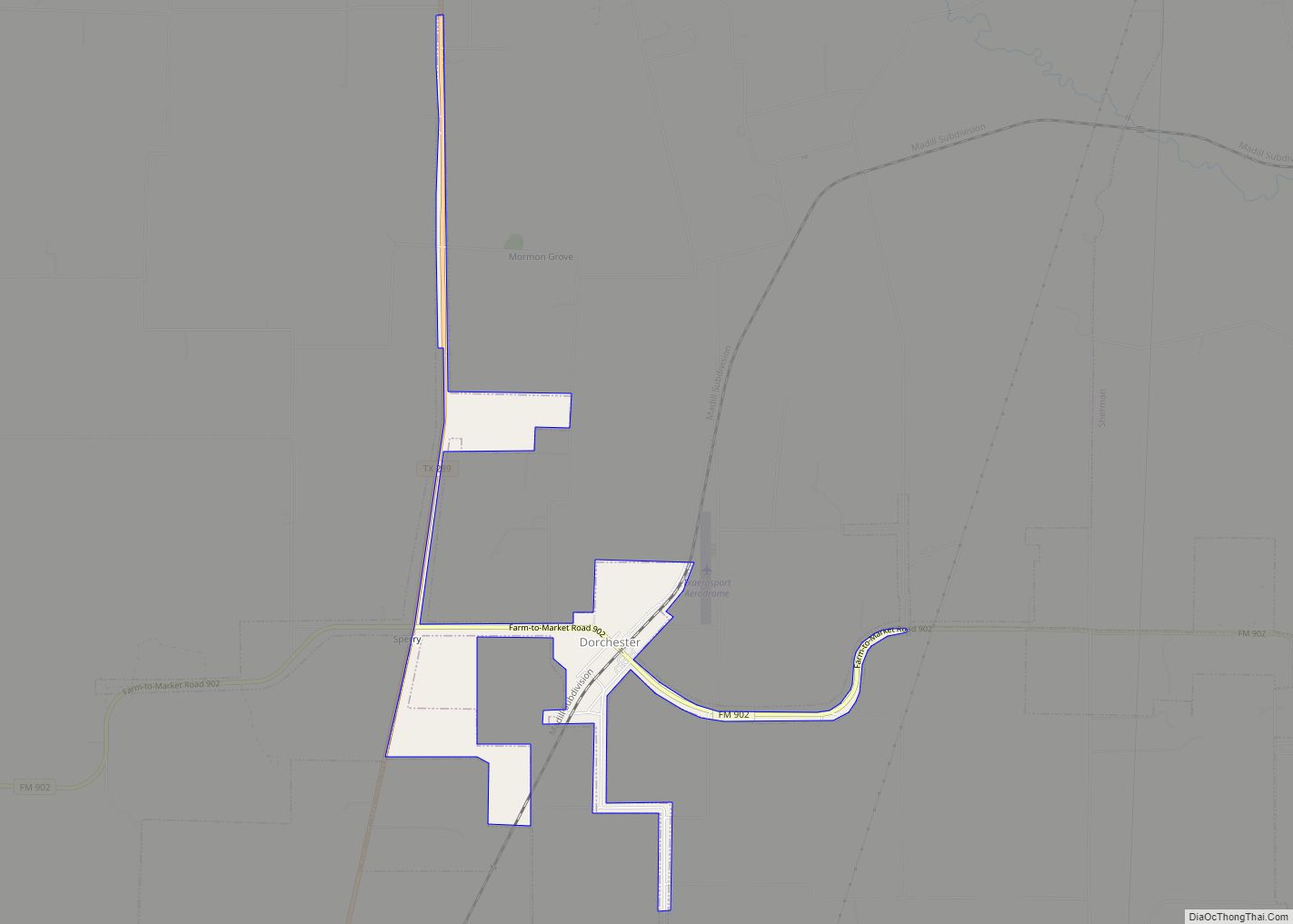
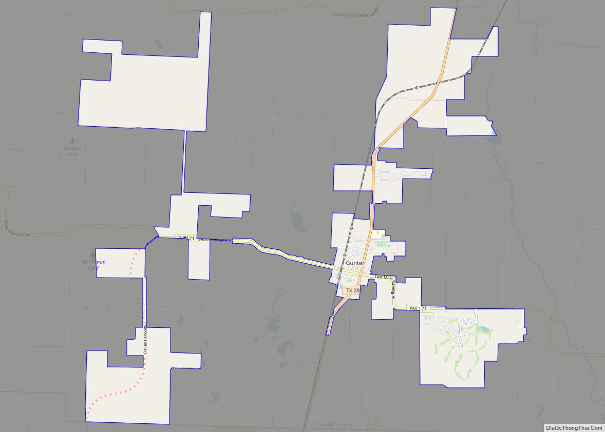
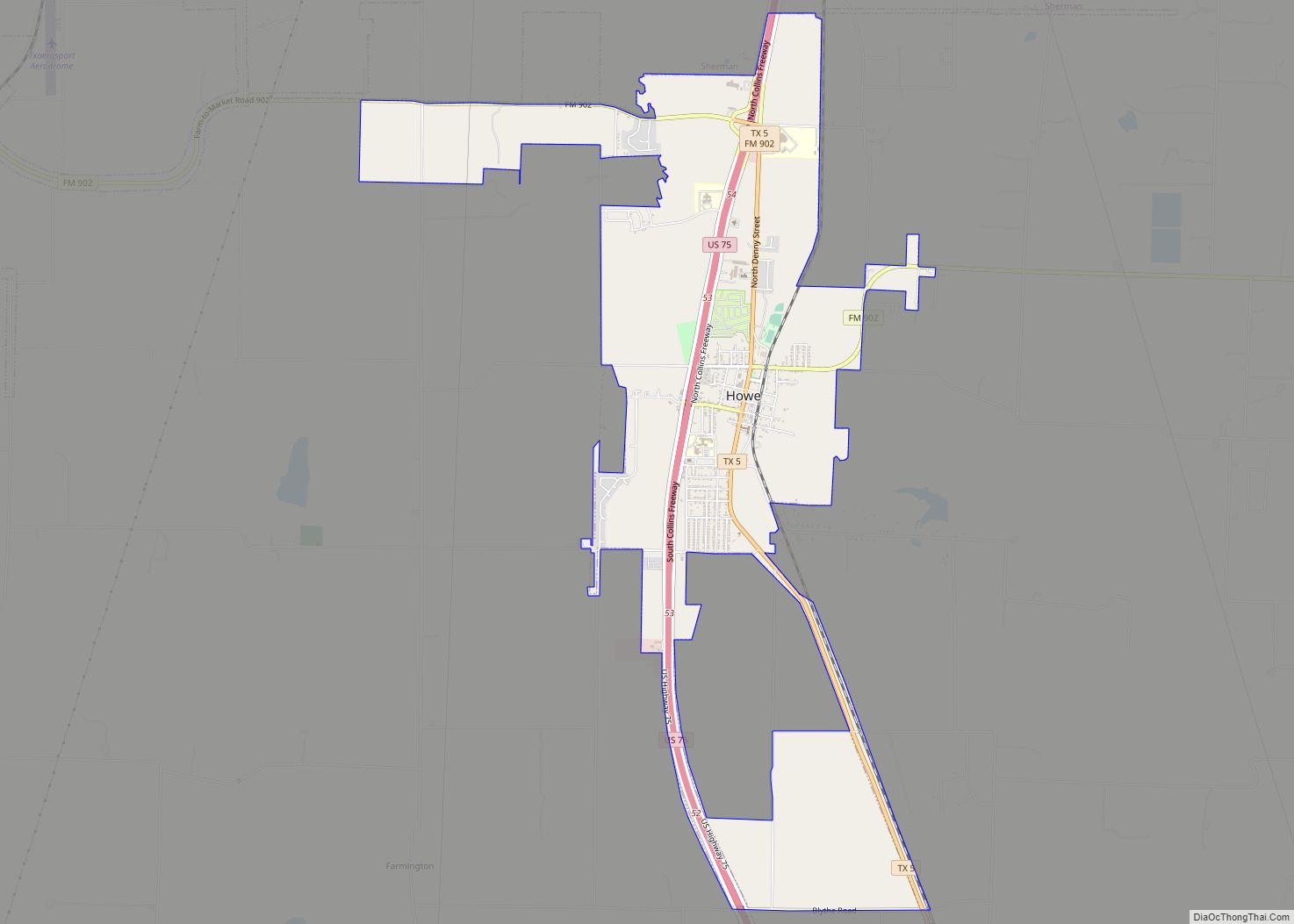
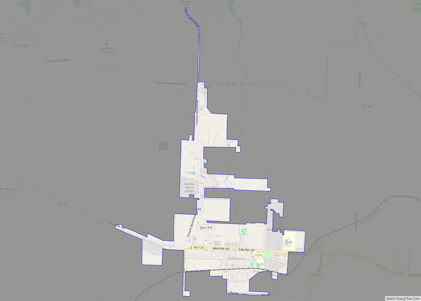
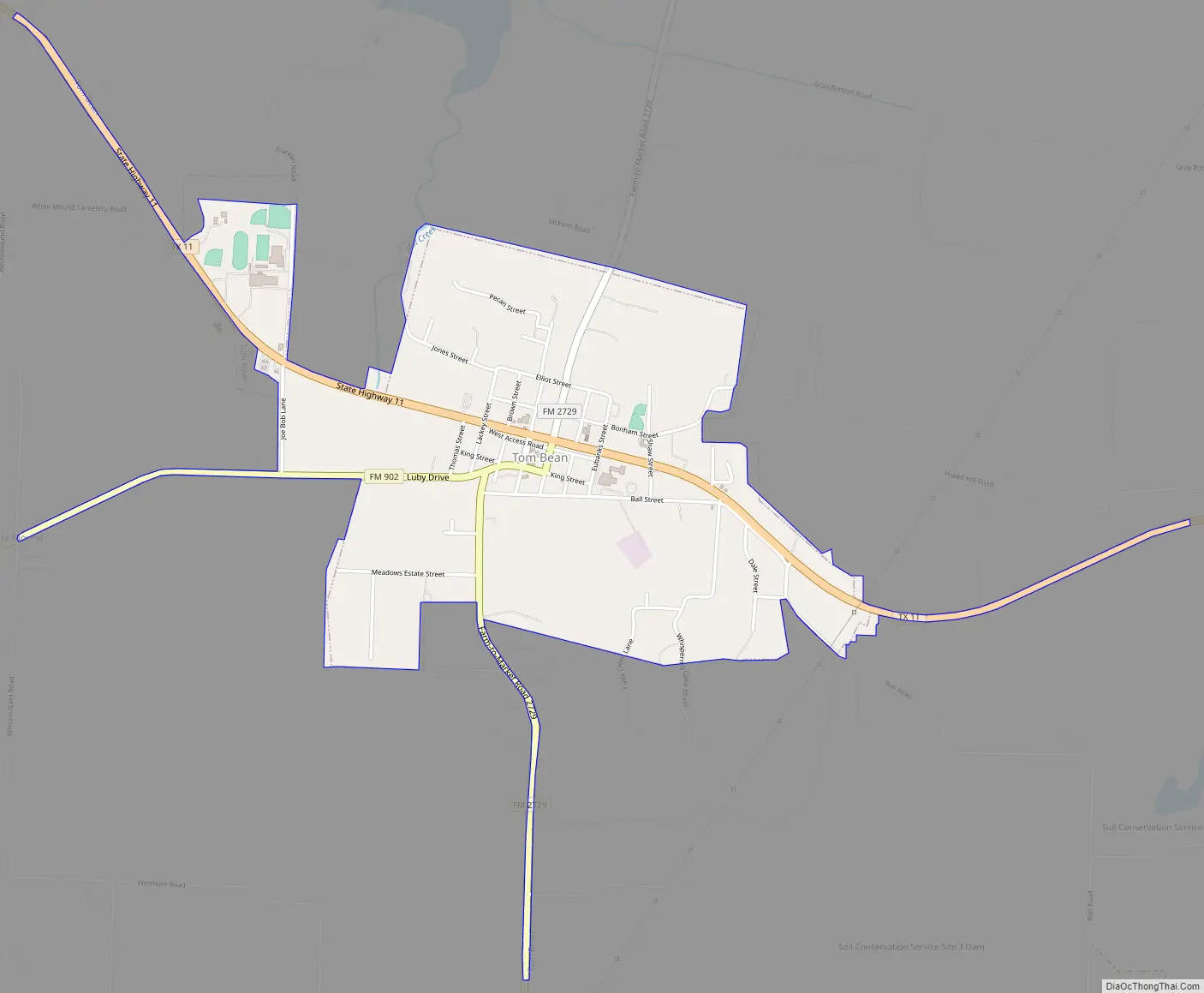
Online Interactive Map
Click on ![]() to view map in "full screen" mode.
to view map in "full screen" mode.
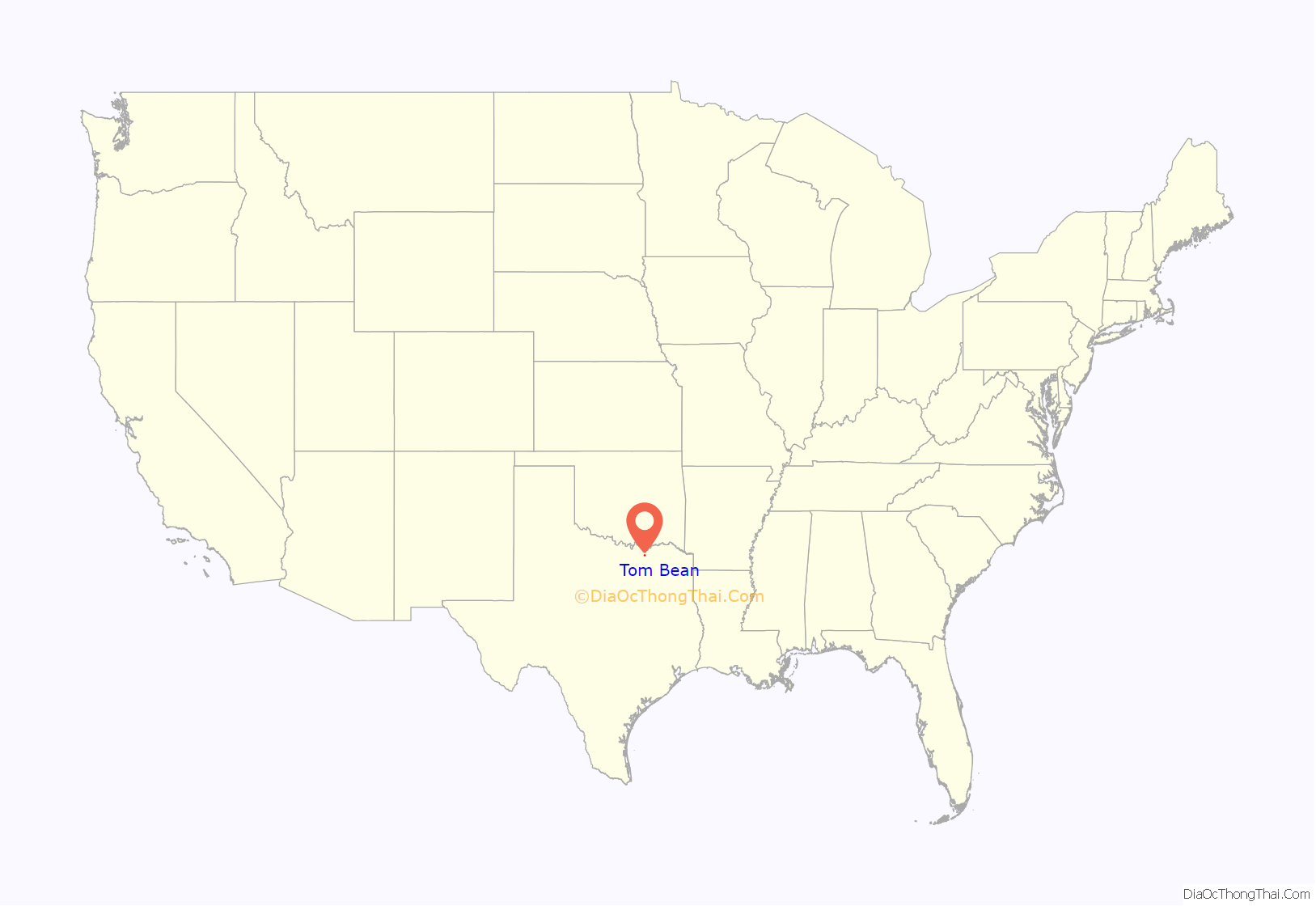
Tom Bean location map. Where is Tom Bean city?
History
Thomas Bean, a wealthy Bonham landowner and surveyor, donated 50 acres (20 ha) of land in southeast Grayson County to be used for a branch railroad line from Sherman to Commerce. Bean died in 1887; in that year the city of Tom Bean was established. Nearby Whitemound, which was bypassed by the railroad, lost its post office to Tom Bean’s city in 1888; many Whitemound settlers moved to the new town. Mr. Bean’s estate began to sell town lots surrounding the railroad in the 1890s. The city school was moved in 1891 from a one-room structure to a two-story building with an auditorium. Several Christian denominations, including the Church of Christ, Baptist, Presbyterian, and Methodist, established churches in town. The city charter was signed in 1897, and the first mayor was Ice B. Reeves.
In the early days of the 20th century, the city boomed. Within a few years, it boasted a grain company, a furniture company, a drugstore, a newspaper called the Tom Bean Bulletin, a saloon, a dance hall, a movie theater, and the Tom Bean social club. As time progressed, the sharp increase in automobile travel and transport, and the decline of cotton as the principal crop of the area, led businesses to the larger cities of Denison and Sherman.
Though never again the railroad boomtown of the late 19th and early 20th centuries, the community enjoyed a growth spurt in the 1950s and 1980s, celebrating its centennial in 1987.
Current growth is due to its proximity to nearby Sherman, 11 miles (18 km) to the northwest.
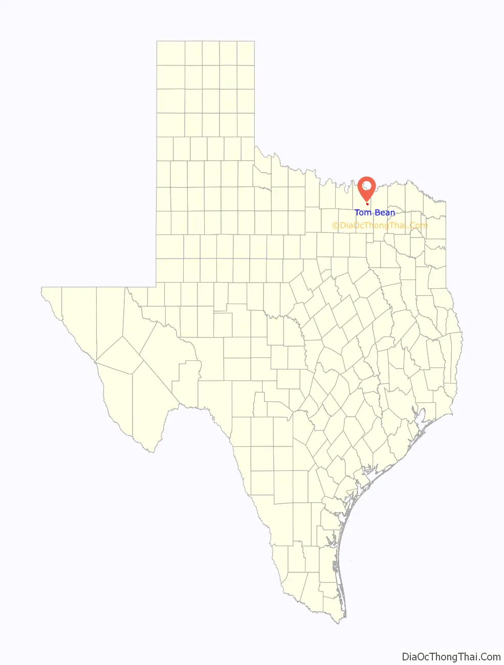
Tom Bean Road Map
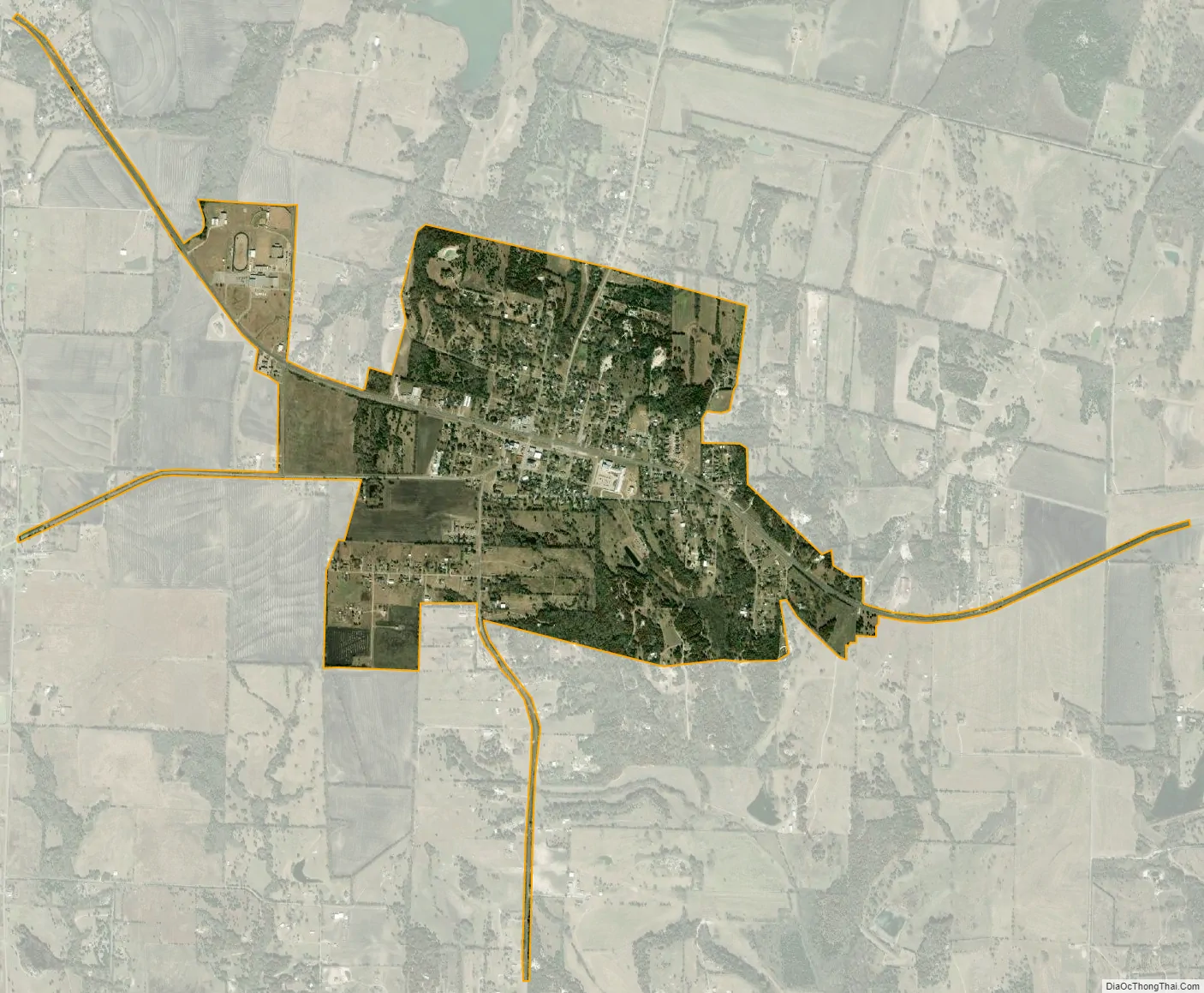
Tom Bean city Satellite Map
Geography
Tom Bean is located in southeastern Grayson County at 33°31′15″N 96°28′58″W / 33.52083°N 96.48278°W / 33.52083; -96.48278 (33.520811, –96.482826). It is 11 miles (18 km) southeast of Sherman, the county seat, and 25 miles (40 km) south of the Red River and the Oklahoma border. The region is colloquially referred to as the Sher-Den area or Texomaland—or just Texoma.
According to the United States Census Bureau, the city of Tom Bean has a total area of 1.6 square miles (4.1 km), all of it land.
See also
Map of Texas State and its subdivision:- Anderson
- Andrews
- Angelina
- Aransas
- Archer
- Armstrong
- Atascosa
- Austin
- Bailey
- Bandera
- Bastrop
- Baylor
- Bee
- Bell
- Bexar
- Blanco
- Borden
- Bosque
- Bowie
- Brazoria
- Brazos
- Brewster
- Briscoe
- Brooks
- Brown
- Burleson
- Burnet
- Caldwell
- Calhoun
- Callahan
- Cameron
- Camp
- Carson
- Cass
- Castro
- Chambers
- Cherokee
- Childress
- Clay
- Cochran
- Coke
- Coleman
- Collin
- Collingsworth
- Colorado
- Comal
- Comanche
- Concho
- Cooke
- Coryell
- Cottle
- Crane
- Crockett
- Crosby
- Culberson
- Dallam
- Dallas
- Dawson
- Deaf Smith
- Delta
- Denton
- Dewitt
- Dickens
- Dimmit
- Donley
- Duval
- Eastland
- Ector
- Edwards
- El Paso
- Ellis
- Erath
- Falls
- Fannin
- Fayette
- Fisher
- Floyd
- Foard
- Fort Bend
- Franklin
- Freestone
- Frio
- Gaines
- Galveston
- Garza
- Gillespie
- Glasscock
- Goliad
- Gonzales
- Gray
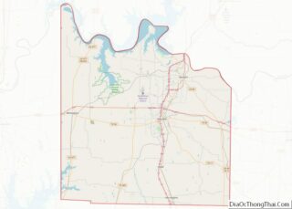
- Grayson
- Gregg
- Grimes
- Guadalupe
- Hale
- Hall
- Hamilton
- Hansford
- Hardeman
- Hardin
- Harris
- Harrison
- Hartley
- Haskell
- Hays
- Hemphill
- Henderson
- Hidalgo
- Hill
- Hockley
- Hood
- Hopkins
- Houston
- Howard
- Hudspeth
- Hunt
- Hutchinson
- Irion
- Jack
- Jackson
- Jasper
- Jeff Davis
- Jefferson
- Jim Hogg
- Jim Wells
- Johnson
- Jones
- Karnes
- Kaufman
- Kendall
- Kenedy
- Kent
- Kerr
- Kimble
- King
- Kinney
- Kleberg
- Knox
- La Salle
- Lamar
- Lamb
- Lampasas
- Lavaca
- Lee
- Leon
- Liberty
- Limestone
- Lipscomb
- Live Oak
- Llano
- Loving
- Lubbock
- Lynn
- Madison
- Marion
- Martin
- Mason
- Matagorda
- Maverick
- McCulloch
- McLennan
- McMullen
- Medina
- Menard
- Midland
- Milam
- Mills
- Mitchell
- Montague
- Montgomery
- Moore
- Morris
- Motley
- Nacogdoches
- Navarro
- Newton
- Nolan
- Nueces
- Ochiltree
- Oldham
- Orange
- Palo Pinto
- Panola
- Parker
- Parmer
- Pecos
- Polk
- Potter
- Presidio
- Rains
- Randall
- Reagan
- Real
- Red River
- Reeves
- Refugio
- Roberts
- Robertson
- Rockwall
- Runnels
- Rusk
- Sabine
- San Augustine
- San Jacinto
- San Patricio
- San Saba
- Schleicher
- Scurry
- Shackelford
- Shelby
- Sherman
- Smith
- Somervell
- Starr
- Stephens
- Sterling
- Stonewall
- Sutton
- Swisher
- Tarrant
- Taylor
- Terrell
- Terry
- Throckmorton
- Titus
- Tom Green
- Travis
- Trinity
- Tyler
- Upshur
- Upton
- Uvalde
- Val Verde
- Van Zandt
- Victoria
- Walker
- Waller
- Ward
- Washington
- Webb
- Wharton
- Wheeler
- Wichita
- Wilbarger
- Willacy
- Williamson
- Wilson
- Winkler
- Wise
- Wood
- Yoakum
- Young
- Zapata
- Zavala
- Alabama
- Alaska
- Arizona
- Arkansas
- California
- Colorado
- Connecticut
- Delaware
- District of Columbia
- Florida
- Georgia
- Hawaii
- Idaho
- Illinois
- Indiana
- Iowa
- Kansas
- Kentucky
- Louisiana
- Maine
- Maryland
- Massachusetts
- Michigan
- Minnesota
- Mississippi
- Missouri
- Montana
- Nebraska
- Nevada
- New Hampshire
- New Jersey
- New Mexico
- New York
- North Carolina
- North Dakota
- Ohio
- Oklahoma
- Oregon
- Pennsylvania
- Rhode Island
- South Carolina
- South Dakota
- Tennessee
- Texas
- Utah
- Vermont
- Virginia
- Washington
- West Virginia
- Wisconsin
- Wyoming