Waxahachie (/ˌwɒksəˈhætʃi/ WOK-sə-HA-chee) is the seat of government of Ellis County, Texas, United States. Its population was 41,140 in 2020.
| Name: | Waxahachie city |
|---|---|
| LSAD Code: | 25 |
| LSAD Description: | city (suffix) |
| State: | Texas |
| County: | Ellis County |
| Founded: | 1850 |
| Elevation: | 558 ft (170 m) |
| Total Area: | 50.73 sq mi (131.40 km²) |
| Land Area: | 49.50 sq mi (128.21 km²) |
| Water Area: | 1.23 sq mi (3.19 km²) |
| Total Population: | 41,140 |
| Population Density: | 767.43/sq mi (296.31/km²) |
| Area code: | 972 |
| FIPS code: | 4876816 |
| GNISfeature ID: | 1349560 |
| Website: | www.waxahachie.com |
Online Interactive Map
Click on ![]() to view map in "full screen" mode.
to view map in "full screen" mode.
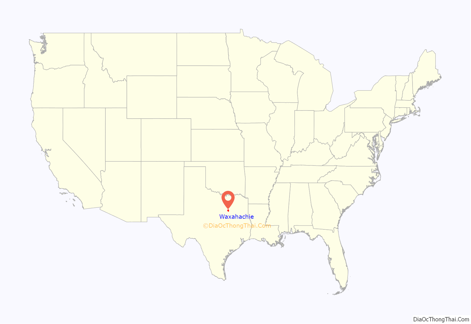
Waxahachie location map. Where is Waxahachie city?
History
Waxahachie was founded in August 1850 as the seat of the newly established Ellis County on a tract of land donated by early settler Emory W. Rogers, a native of Lawrence County, Alabama, who migrated to Texas in 1839. It was incorporated on April 28, 1871, and in 1875, the state legislature granted investors the right to operate a rail line from Waxahachie Tap Railroad to Garrett, Texas, which greatly increased the population of Waxahachie.
From 1902 to 1942, Waxahachie was the second home of Trinity University, which was a Presbyterian-affiliated institution founded in 1869. Then-Trinity’s main administration and classroom building is today the Farmer Administration Building of Southwestern Assemblies of God University. Trinity’s present-day location is San Antonio.
The town is the namesake of the former United States Naval Ship Waxahachie (YTB-814).
In 1988, the area around Waxahachie was chosen as the site for the Superconducting Super Collider, which was to be the world’s largest and most energetic particle accelerator, with a planned ring circumference of 54.1 miles (87.1 km). Seventeen shafts were sunk and 14.6 miles (23.5 km) of tunnel were bored before the project was cancelled by Congress in 1993.
In 2020, County Judge Todd Little came into the national spotlight when the county’s only elected African-American, Constable Curtis Polk, Jr., protested having his office located in the basement of the courthouse next to a segregation-era sign that read “Negroes.” The controversy was resolved amicably when Little worked with Polk to relocate him to another office.
Waxahachie Road Map
Waxahachie city Satellite Map
Geography
Climate
The climate in this area is characterized by hot, humid summers and generally mild to cool winters. According to the Köppen climate classification, Waxahachie has a humid subtropical climate, Cfa on climate maps.
See also
Map of Texas State and its subdivision:- Anderson
- Andrews
- Angelina
- Aransas
- Archer
- Armstrong
- Atascosa
- Austin
- Bailey
- Bandera
- Bastrop
- Baylor
- Bee
- Bell
- Bexar
- Blanco
- Borden
- Bosque
- Bowie
- Brazoria
- Brazos
- Brewster
- Briscoe
- Brooks
- Brown
- Burleson
- Burnet
- Caldwell
- Calhoun
- Callahan
- Cameron
- Camp
- Carson
- Cass
- Castro
- Chambers
- Cherokee
- Childress
- Clay
- Cochran
- Coke
- Coleman
- Collin
- Collingsworth
- Colorado
- Comal
- Comanche
- Concho
- Cooke
- Coryell
- Cottle
- Crane
- Crockett
- Crosby
- Culberson
- Dallam
- Dallas
- Dawson
- Deaf Smith
- Delta
- Denton
- Dewitt
- Dickens
- Dimmit
- Donley
- Duval
- Eastland
- Ector
- Edwards
- El Paso
- Ellis
- Erath
- Falls
- Fannin
- Fayette
- Fisher
- Floyd
- Foard
- Fort Bend
- Franklin
- Freestone
- Frio
- Gaines
- Galveston
- Garza
- Gillespie
- Glasscock
- Goliad
- Gonzales
- Gray
- Grayson
- Gregg
- Grimes
- Guadalupe
- Hale
- Hall
- Hamilton
- Hansford
- Hardeman
- Hardin
- Harris
- Harrison
- Hartley
- Haskell
- Hays
- Hemphill
- Henderson
- Hidalgo
- Hill
- Hockley
- Hood
- Hopkins
- Houston
- Howard
- Hudspeth
- Hunt
- Hutchinson
- Irion
- Jack
- Jackson
- Jasper
- Jeff Davis
- Jefferson
- Jim Hogg
- Jim Wells
- Johnson
- Jones
- Karnes
- Kaufman
- Kendall
- Kenedy
- Kent
- Kerr
- Kimble
- King
- Kinney
- Kleberg
- Knox
- La Salle
- Lamar
- Lamb
- Lampasas
- Lavaca
- Lee
- Leon
- Liberty
- Limestone
- Lipscomb
- Live Oak
- Llano
- Loving
- Lubbock
- Lynn
- Madison
- Marion
- Martin
- Mason
- Matagorda
- Maverick
- McCulloch
- McLennan
- McMullen
- Medina
- Menard
- Midland
- Milam
- Mills
- Mitchell
- Montague
- Montgomery
- Moore
- Morris
- Motley
- Nacogdoches
- Navarro
- Newton
- Nolan
- Nueces
- Ochiltree
- Oldham
- Orange
- Palo Pinto
- Panola
- Parker
- Parmer
- Pecos
- Polk
- Potter
- Presidio
- Rains
- Randall
- Reagan
- Real
- Red River
- Reeves
- Refugio
- Roberts
- Robertson
- Rockwall
- Runnels
- Rusk
- Sabine
- San Augustine
- San Jacinto
- San Patricio
- San Saba
- Schleicher
- Scurry
- Shackelford
- Shelby
- Sherman
- Smith
- Somervell
- Starr
- Stephens
- Sterling
- Stonewall
- Sutton
- Swisher
- Tarrant
- Taylor
- Terrell
- Terry
- Throckmorton
- Titus
- Tom Green
- Travis
- Trinity
- Tyler
- Upshur
- Upton
- Uvalde
- Val Verde
- Van Zandt
- Victoria
- Walker
- Waller
- Ward
- Washington
- Webb
- Wharton
- Wheeler
- Wichita
- Wilbarger
- Willacy
- Williamson
- Wilson
- Winkler
- Wise
- Wood
- Yoakum
- Young
- Zapata
- Zavala
- Alabama
- Alaska
- Arizona
- Arkansas
- California
- Colorado
- Connecticut
- Delaware
- District of Columbia
- Florida
- Georgia
- Hawaii
- Idaho
- Illinois
- Indiana
- Iowa
- Kansas
- Kentucky
- Louisiana
- Maine
- Maryland
- Massachusetts
- Michigan
- Minnesota
- Mississippi
- Missouri
- Montana
- Nebraska
- Nevada
- New Hampshire
- New Jersey
- New Mexico
- New York
- North Carolina
- North Dakota
- Ohio
- Oklahoma
- Oregon
- Pennsylvania
- Rhode Island
- South Carolina
- South Dakota
- Tennessee
- Texas
- Utah
- Vermont
- Virginia
- Washington
- West Virginia
- Wisconsin
- Wyoming
