Westlake is a town in Denton and Tarrant counties in the U.S. state of Texas and a suburb of the Dallas-Fort Worth metroplex. The population is 1,900 as of the 2020 United States census.
| Name: | Westlake town |
|---|---|
| LSAD Code: | 43 |
| LSAD Description: | town (suffix) |
| State: | Texas |
| County: | Denton County, Tarrant County |
| Incorporated: | 1954 |
| Elevation: | 574 ft (175 m) |
| Total Area: | 6.92 sq mi (17.93 km²) |
| Land Area: | 6.74 sq mi (17.46 km²) |
| Water Area: | 0.18 sq mi (0.46 km²) 1.35% |
| Total Population: | 1,900 |
| Population Density: | 242.24/sq mi (93.52/km²) |
| ZIP code: | 76262 |
| Area code: | 817/682 |
| FIPS code: | 4877620 |
| GNISfeature ID: | 1379259 |
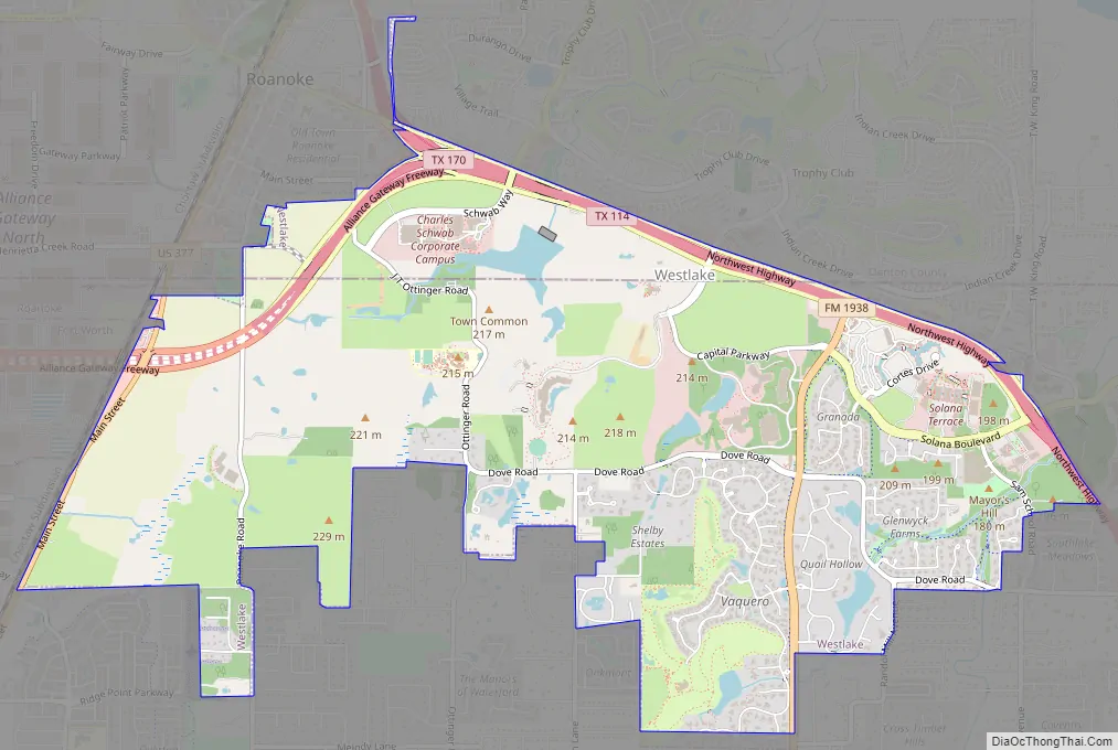
Online Interactive Map
Click on ![]() to view map in "full screen" mode.
to view map in "full screen" mode.
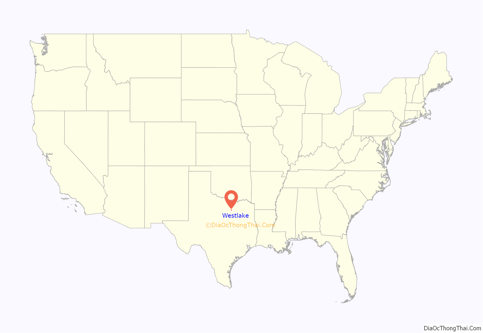
Westlake location map. Where is Westlake town?
History
The area known as Westlake was originally settled in 1847 by Charles and Matilda Medlin with about 20 other families. In the mid-twentieth century, what is now Westlake was known as Circle T Ranch, a 2,000 acre ranch founded by Dallas attorney and oilman J. Glenn Turner. When incorporated in the late 1950s, the name Southlake, Texas already existed, so ranchers and homeowners took the name Westlake.
During the late 1990s, the Board of Alderman attempted to disband the town. The large Solana development was annexed by Southlake, while several large tracts of land were annexed by Fort Worth, Texas. A local district judge ruled the annexations in violation of state law, and the properties returned under Westlake jurisdiction.
In 2000, the radio program This American Life featured a story about the battle to disband the town in the face of development by Ross Perot, Jr.
The city does not provide its own police force. Instead, law enforcement services are contracted from the City of Keller, which provides patrol and traffic enforcement officers to serve Westlake. The city does, however, provide its own Fire-EMS services.
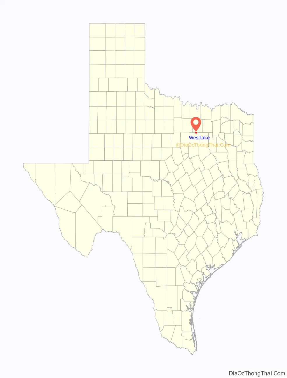
Westlake Road Map
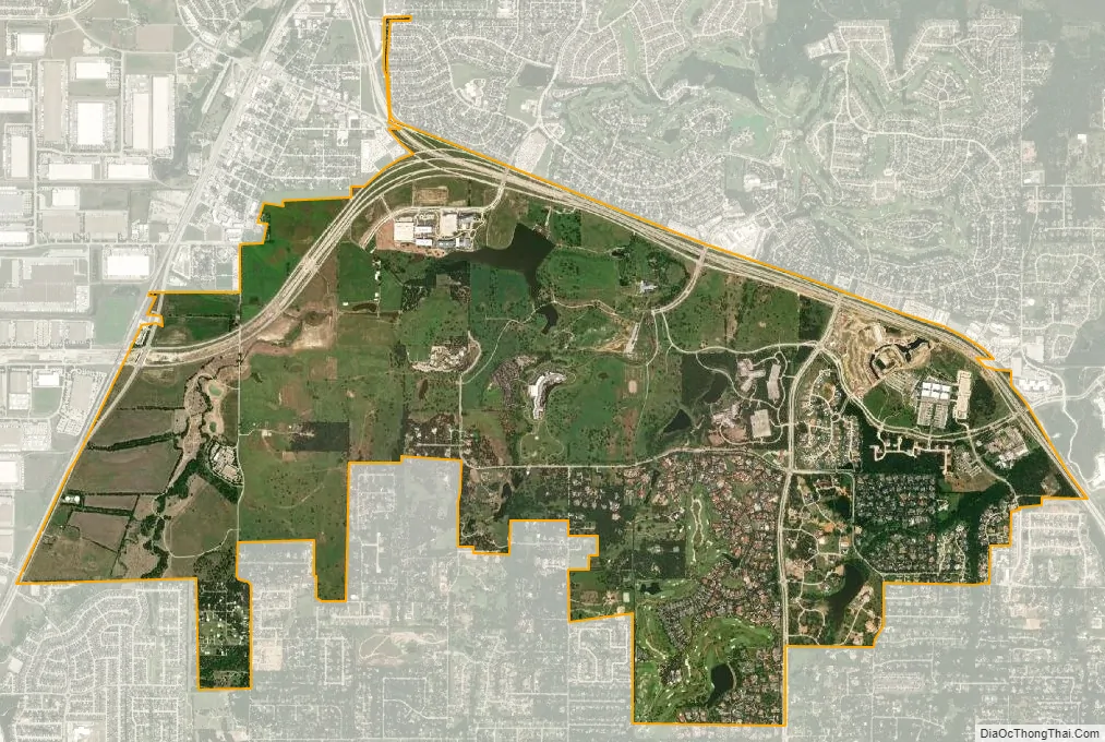
Westlake city Satellite Map
Geography
Westlake is located at 32°58′57″N 97°12′20″W / 32.98250°N 97.20556°W / 32.98250; -97.20556 (32.982584, −97.205670).
According to the United States Census Bureau, the town has a total area of 6.7 square miles (17.3 km), of which, 6.6 square miles (17.1 km) of it is land and 0.1 square miles (0.2 km) of it (1.35%) is water.
Climate
According to the Köppen Climate Classification system, Westlake has a humid subtropical climate, abbreviated “Cfa” on climate maps.
See also
Map of Texas State and its subdivision:- Anderson
- Andrews
- Angelina
- Aransas
- Archer
- Armstrong
- Atascosa
- Austin
- Bailey
- Bandera
- Bastrop
- Baylor
- Bee
- Bell
- Bexar
- Blanco
- Borden
- Bosque
- Bowie
- Brazoria
- Brazos
- Brewster
- Briscoe
- Brooks
- Brown
- Burleson
- Burnet
- Caldwell
- Calhoun
- Callahan
- Cameron
- Camp
- Carson
- Cass
- Castro
- Chambers
- Cherokee
- Childress
- Clay
- Cochran
- Coke
- Coleman
- Collin
- Collingsworth
- Colorado
- Comal
- Comanche
- Concho
- Cooke
- Coryell
- Cottle
- Crane
- Crockett
- Crosby
- Culberson
- Dallam
- Dallas
- Dawson
- Deaf Smith
- Delta
- Denton
- Dewitt
- Dickens
- Dimmit
- Donley
- Duval
- Eastland
- Ector
- Edwards
- El Paso
- Ellis
- Erath
- Falls
- Fannin
- Fayette
- Fisher
- Floyd
- Foard
- Fort Bend
- Franklin
- Freestone
- Frio
- Gaines
- Galveston
- Garza
- Gillespie
- Glasscock
- Goliad
- Gonzales
- Gray
- Grayson
- Gregg
- Grimes
- Guadalupe
- Hale
- Hall
- Hamilton
- Hansford
- Hardeman
- Hardin
- Harris
- Harrison
- Hartley
- Haskell
- Hays
- Hemphill
- Henderson
- Hidalgo
- Hill
- Hockley
- Hood
- Hopkins
- Houston
- Howard
- Hudspeth
- Hunt
- Hutchinson
- Irion
- Jack
- Jackson
- Jasper
- Jeff Davis
- Jefferson
- Jim Hogg
- Jim Wells
- Johnson
- Jones
- Karnes
- Kaufman
- Kendall
- Kenedy
- Kent
- Kerr
- Kimble
- King
- Kinney
- Kleberg
- Knox
- La Salle
- Lamar
- Lamb
- Lampasas
- Lavaca
- Lee
- Leon
- Liberty
- Limestone
- Lipscomb
- Live Oak
- Llano
- Loving
- Lubbock
- Lynn
- Madison
- Marion
- Martin
- Mason
- Matagorda
- Maverick
- McCulloch
- McLennan
- McMullen
- Medina
- Menard
- Midland
- Milam
- Mills
- Mitchell
- Montague
- Montgomery
- Moore
- Morris
- Motley
- Nacogdoches
- Navarro
- Newton
- Nolan
- Nueces
- Ochiltree
- Oldham
- Orange
- Palo Pinto
- Panola
- Parker
- Parmer
- Pecos
- Polk
- Potter
- Presidio
- Rains
- Randall
- Reagan
- Real
- Red River
- Reeves
- Refugio
- Roberts
- Robertson
- Rockwall
- Runnels
- Rusk
- Sabine
- San Augustine
- San Jacinto
- San Patricio
- San Saba
- Schleicher
- Scurry
- Shackelford
- Shelby
- Sherman
- Smith
- Somervell
- Starr
- Stephens
- Sterling
- Stonewall
- Sutton
- Swisher
- Tarrant
- Taylor
- Terrell
- Terry
- Throckmorton
- Titus
- Tom Green
- Travis
- Trinity
- Tyler
- Upshur
- Upton
- Uvalde
- Val Verde
- Van Zandt
- Victoria
- Walker
- Waller
- Ward
- Washington
- Webb
- Wharton
- Wheeler
- Wichita
- Wilbarger
- Willacy
- Williamson
- Wilson
- Winkler
- Wise
- Wood
- Yoakum
- Young
- Zapata
- Zavala
- Alabama
- Alaska
- Arizona
- Arkansas
- California
- Colorado
- Connecticut
- Delaware
- District of Columbia
- Florida
- Georgia
- Hawaii
- Idaho
- Illinois
- Indiana
- Iowa
- Kansas
- Kentucky
- Louisiana
- Maine
- Maryland
- Massachusetts
- Michigan
- Minnesota
- Mississippi
- Missouri
- Montana
- Nebraska
- Nevada
- New Hampshire
- New Jersey
- New Mexico
- New York
- North Carolina
- North Dakota
- Ohio
- Oklahoma
- Oregon
- Pennsylvania
- Rhode Island
- South Carolina
- South Dakota
- Tennessee
- Texas
- Utah
- Vermont
- Virginia
- Washington
- West Virginia
- Wisconsin
- Wyoming


