Anderson is a city and county seat of Grimes County, Texas, United States. The population was 193 as of the 2020 census. The town and its surroundings are listed on the National Register of Historic Places as the Anderson Historic District.
The town is named for Kenneth Lewis Anderson, a vice-president of the Republic of Texas, who died here at the Fanthorp Inn in 1845.
| Name: | Anderson city |
|---|---|
| LSAD Code: | 25 |
| LSAD Description: | city (suffix) |
| State: | Texas |
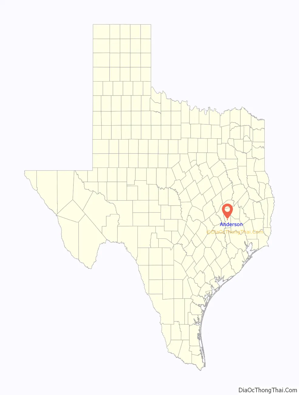
| County: | Grimes County |
| Elevation: | 335 ft (102 m) |
| Total Area: | 0.51 sq mi (1.33 km²) |
| Land Area: | 0.51 sq mi (1.33 km²) |
| Water Area: | 0.00 sq mi (0.00 km²) |
| Total Population: | 193 |
| Population Density: | 472.66/sq mi (182.55/km²) |
| ZIP code: | 77830, 77875 |
| Area code: | 936 |
| FIPS code: | 4803192 |
| GNISfeature ID: | 2409707 |
| Website: | http://andersontx.gov/ |
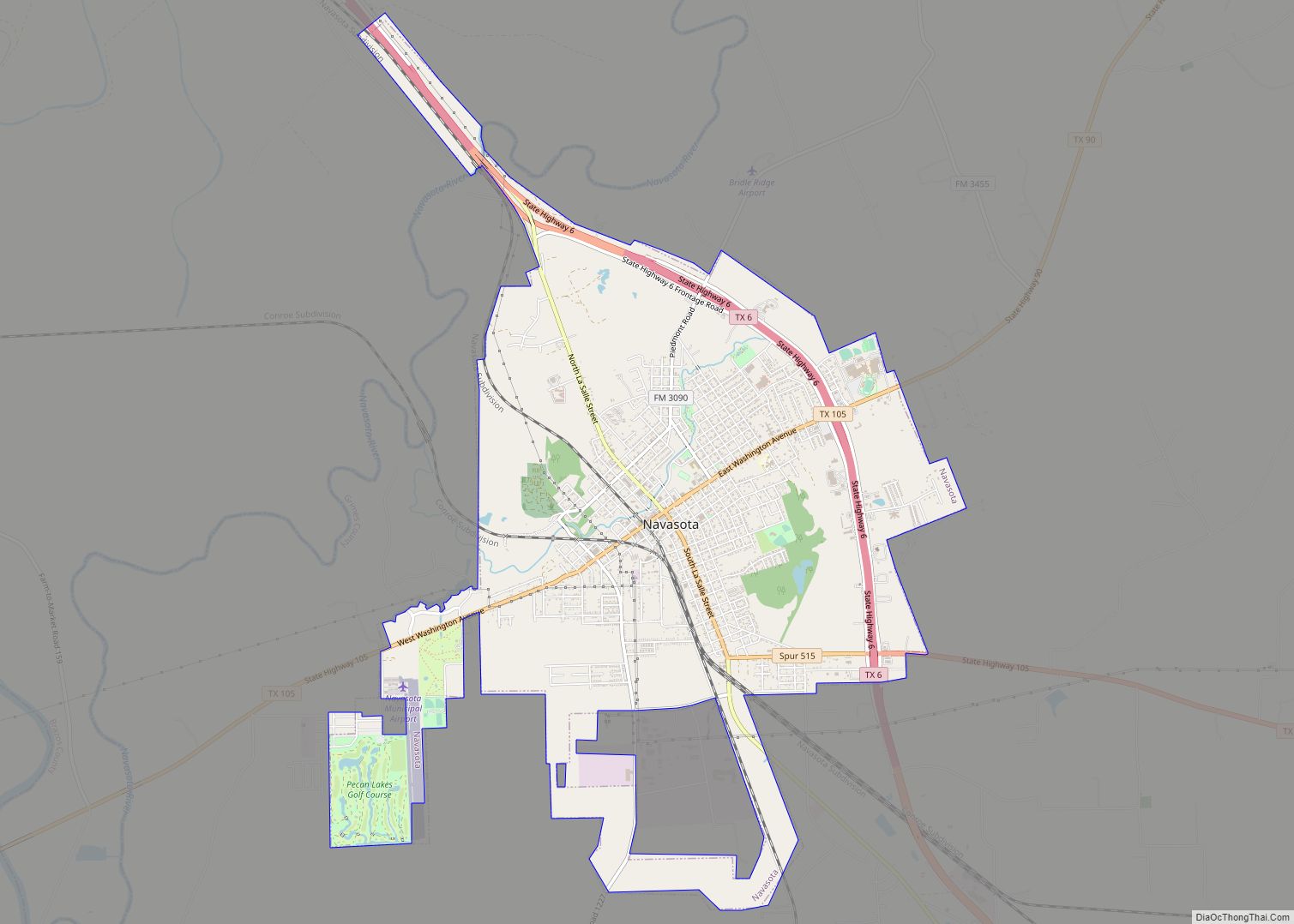
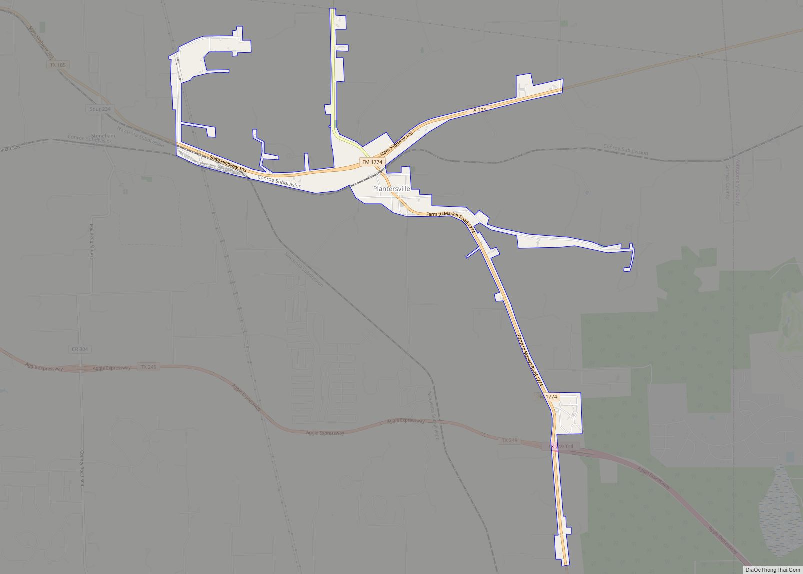
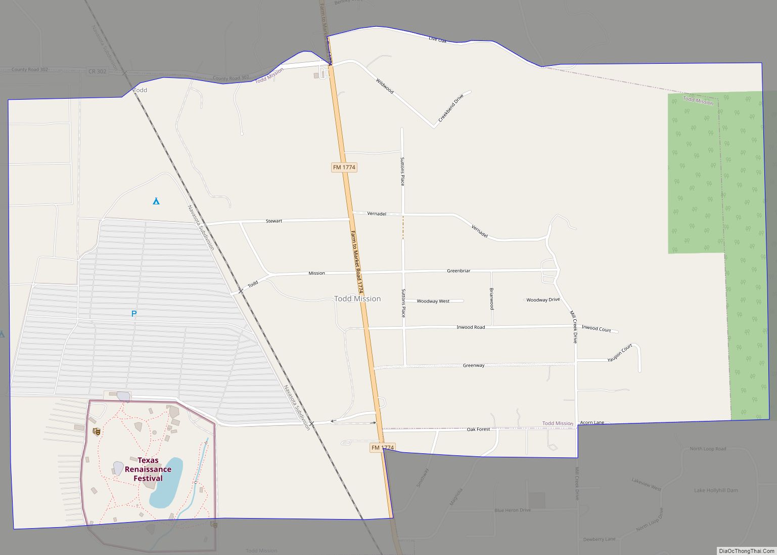
Online Interactive Map
Click on ![]() to view map in "full screen" mode.
to view map in "full screen" mode.
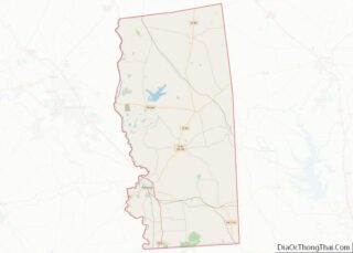
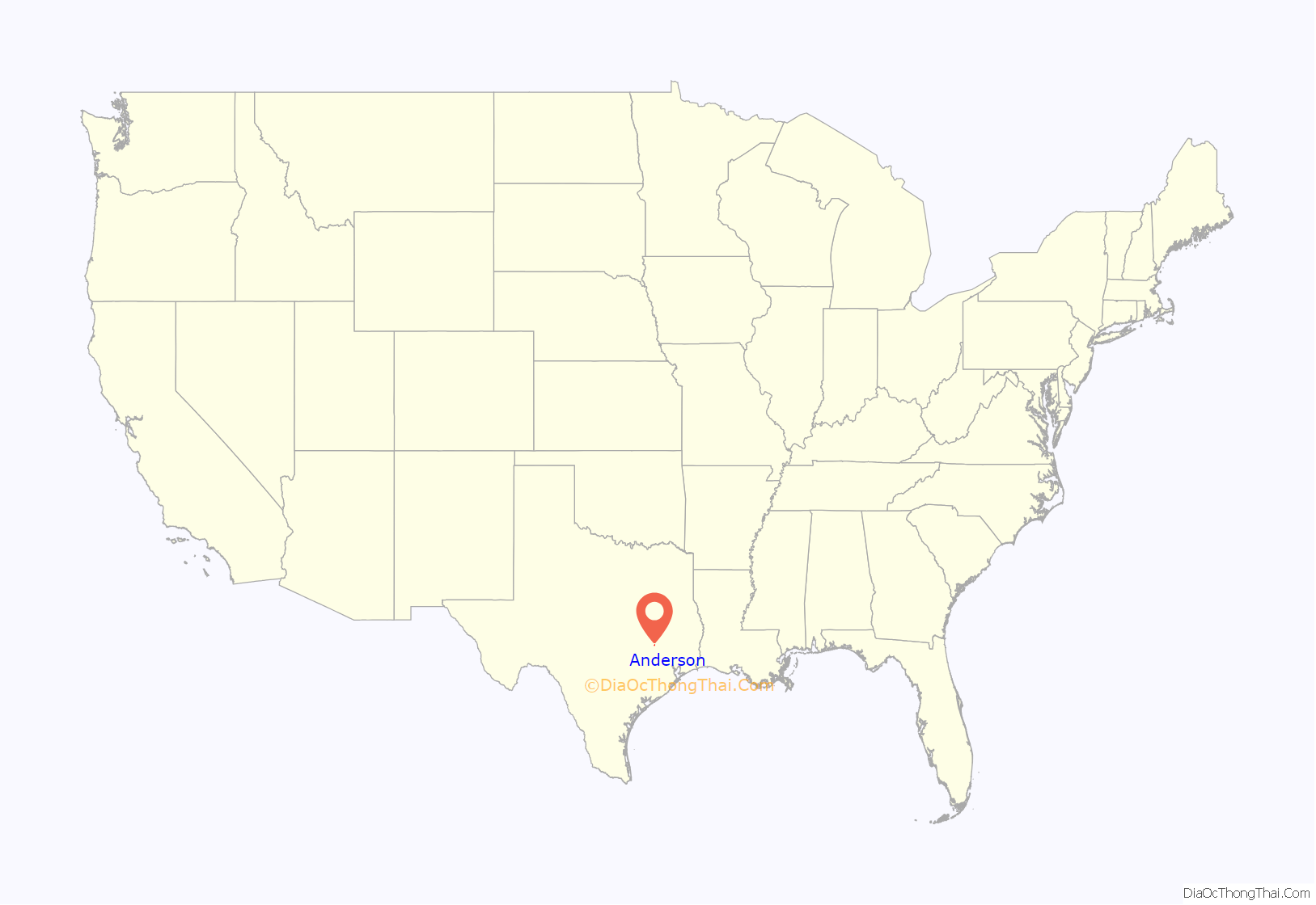
Anderson location map. Where is Anderson city?
History
Long occupied by indigenous peoples, this area was initially settled by Europeans and creole Spanish during Spanish colonial rule. Anglo-Americans began to enter the area in the 1820s from the Southern United States. After Mexico achieved independence, it accepted additional settlers from the United States into eastern Texas. It allowed them to practice their own religion, if they swore loyalty to Mexico. A few structures in town date from this period.
Texas achieved independence in 1836 and settlers continued to arrive from the United States. As they came mostly from the South and brought slaves with them, Grimes and other eastern counties had the highest proportion of slaveholders and slaves in the republic.
Grimes County was organized in 1846, soon after the Republic of Texas was annexed by the United States. Henry Fanthorp, a new Anglo-American settler in Texas, offered land for the county seat. The town grew quickly between 1846 and 1885, reaching a peak population of about 3,000 people. County population was majority-black and enslaved by 1860. The black majority continued until many African Americans left during the 20th century in the Great Migration, to leave behind Jim Crow conditions.
Anderson in 1859 rejected being connected to the Texas and Central Railroad, and was soon surpassed in population and economic growth by Navasota, Texas. Anderson could not catch up again, although it accepted a railroad in 1903. The town was incorporated, but records show elected officials only for the years 1867 and 1875.
In 1983 a movement to revive city government was defeated at the polls. In 1995, the town began having major sewer problems and the state threatened to shut down the county courthouse if the problems were not fixed. One solution was to incorporate the town again so that it would be eligible for grants to acquire a sewer system. In 1995, John Freeman was elected as the first mayor, and the town was incorporated in 1998. He retired in 2003 and Gail Sowell was elected as mayor.
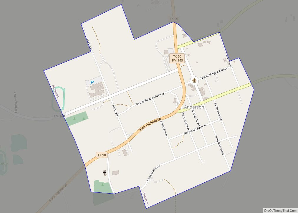
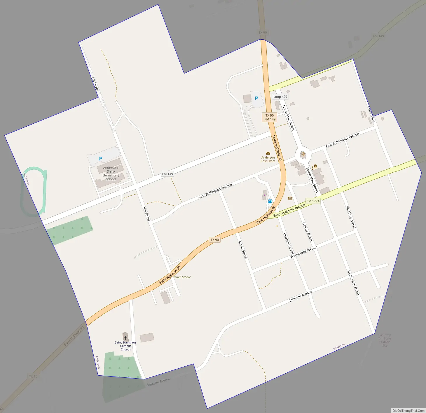
Anderson Road Map
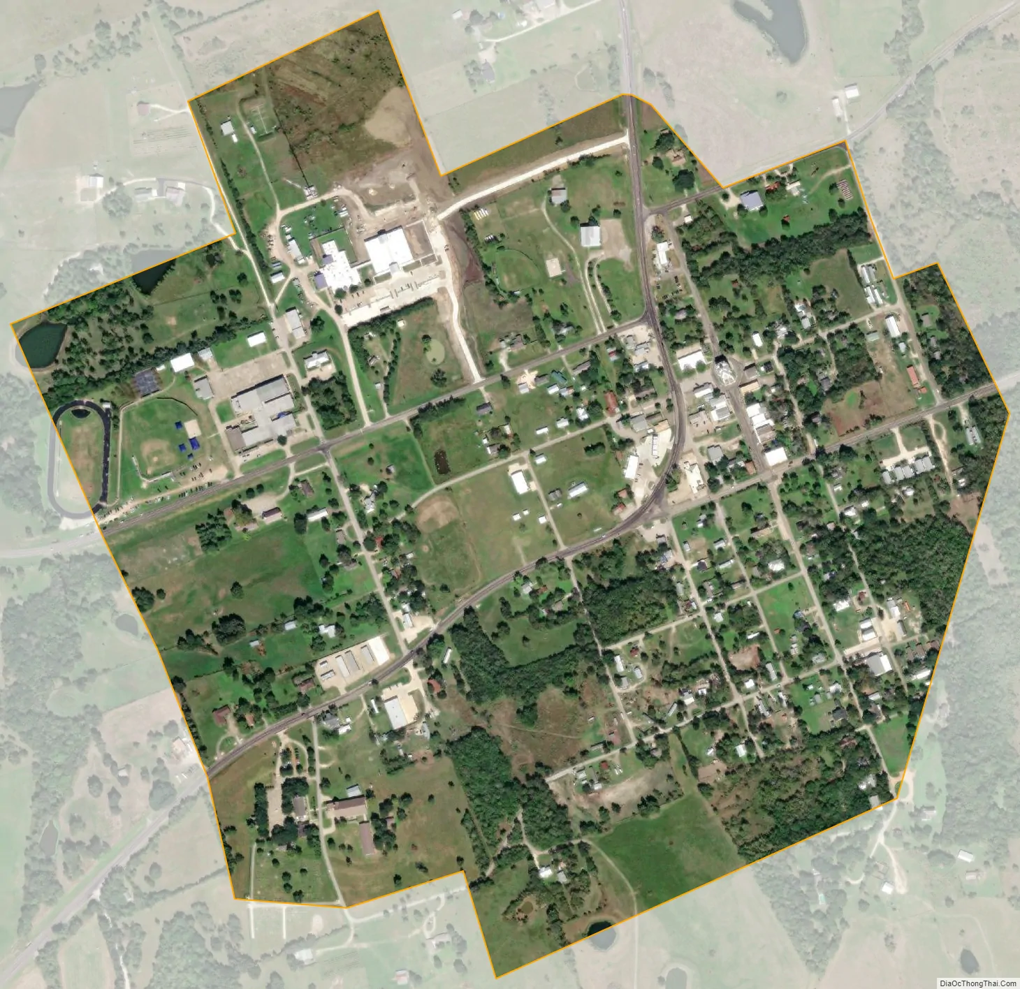
Anderson city Satellite Map
Geography
Texas State Highway 90 passes through the city, leading north 7 miles (11 km) to Roans Prairie and southwest 9 miles (14 km) to Navasota, the largest city in Grimes County. College Station is 28 miles (45 km) to the northwest, and Houston is 71 miles (114 km) to the southeast.
According to the United States Census Bureau, Anderson has a total area of 0.50 square miles (1.3 km), all of it land.
Climate
The climate in this area is characterized by hot, humid summers and generally mild to cool winters. According to the Köppen Climate Classification system, Anderson has a humid subtropical climate, abbreviated “Cfa” on climate maps.
See also
Map of Texas State and its subdivision:- Anderson
- Andrews
- Angelina
- Aransas
- Archer
- Armstrong
- Atascosa
- Austin
- Bailey
- Bandera
- Bastrop
- Baylor
- Bee
- Bell
- Bexar
- Blanco
- Borden
- Bosque
- Bowie
- Brazoria
- Brazos
- Brewster
- Briscoe
- Brooks
- Brown
- Burleson
- Burnet
- Caldwell
- Calhoun
- Callahan
- Cameron
- Camp
- Carson
- Cass
- Castro
- Chambers
- Cherokee
- Childress
- Clay
- Cochran
- Coke
- Coleman
- Collin
- Collingsworth
- Colorado
- Comal
- Comanche
- Concho
- Cooke
- Coryell
- Cottle
- Crane
- Crockett
- Crosby
- Culberson
- Dallam
- Dallas
- Dawson
- Deaf Smith
- Delta
- Denton
- Dewitt
- Dickens
- Dimmit
- Donley
- Duval
- Eastland
- Ector
- Edwards
- El Paso
- Ellis
- Erath
- Falls
- Fannin
- Fayette
- Fisher
- Floyd
- Foard
- Fort Bend
- Franklin
- Freestone
- Frio
- Gaines
- Galveston
- Garza
- Gillespie
- Glasscock
- Goliad
- Gonzales
- Gray
- Grayson
- Gregg
- Grimes
- Guadalupe
- Hale
- Hall
- Hamilton
- Hansford
- Hardeman
- Hardin
- Harris
- Harrison
- Hartley
- Haskell
- Hays
- Hemphill
- Henderson
- Hidalgo
- Hill
- Hockley
- Hood
- Hopkins
- Houston
- Howard
- Hudspeth
- Hunt
- Hutchinson
- Irion
- Jack
- Jackson
- Jasper
- Jeff Davis
- Jefferson
- Jim Hogg
- Jim Wells
- Johnson
- Jones
- Karnes
- Kaufman
- Kendall
- Kenedy
- Kent
- Kerr
- Kimble
- King
- Kinney
- Kleberg
- Knox
- La Salle
- Lamar
- Lamb
- Lampasas
- Lavaca
- Lee
- Leon
- Liberty
- Limestone
- Lipscomb
- Live Oak
- Llano
- Loving
- Lubbock
- Lynn
- Madison
- Marion
- Martin
- Mason
- Matagorda
- Maverick
- McCulloch
- McLennan
- McMullen
- Medina
- Menard
- Midland
- Milam
- Mills
- Mitchell
- Montague
- Montgomery
- Moore
- Morris
- Motley
- Nacogdoches
- Navarro
- Newton
- Nolan
- Nueces
- Ochiltree
- Oldham
- Orange
- Palo Pinto
- Panola
- Parker
- Parmer
- Pecos
- Polk
- Potter
- Presidio
- Rains
- Randall
- Reagan
- Real
- Red River
- Reeves
- Refugio
- Roberts
- Robertson
- Rockwall
- Runnels
- Rusk
- Sabine
- San Augustine
- San Jacinto
- San Patricio
- San Saba
- Schleicher
- Scurry
- Shackelford
- Shelby
- Sherman
- Smith
- Somervell
- Starr
- Stephens
- Sterling
- Stonewall
- Sutton
- Swisher
- Tarrant
- Taylor
- Terrell
- Terry
- Throckmorton
- Titus
- Tom Green
- Travis
- Trinity
- Tyler
- Upshur
- Upton
- Uvalde
- Val Verde
- Van Zandt
- Victoria
- Walker
- Waller
- Ward
- Washington
- Webb
- Wharton
- Wheeler
- Wichita
- Wilbarger
- Willacy
- Williamson
- Wilson
- Winkler
- Wise
- Wood
- Yoakum
- Young
- Zapata
- Zavala
- Alabama
- Alaska
- Arizona
- Arkansas
- California
- Colorado
- Connecticut
- Delaware
- District of Columbia
- Florida
- Georgia
- Hawaii
- Idaho
- Illinois
- Indiana
- Iowa
- Kansas
- Kentucky
- Louisiana
- Maine
- Maryland
- Massachusetts
- Michigan
- Minnesota
- Mississippi
- Missouri
- Montana
- Nebraska
- Nevada
- New Hampshire
- New Jersey
- New Mexico
- New York
- North Carolina
- North Dakota
- Ohio
- Oklahoma
- Oregon
- Pennsylvania
- Rhode Island
- South Carolina
- South Dakota
- Tennessee
- Texas
- Utah
- Vermont
- Virginia
- Washington
- West Virginia
- Wisconsin
- Wyoming