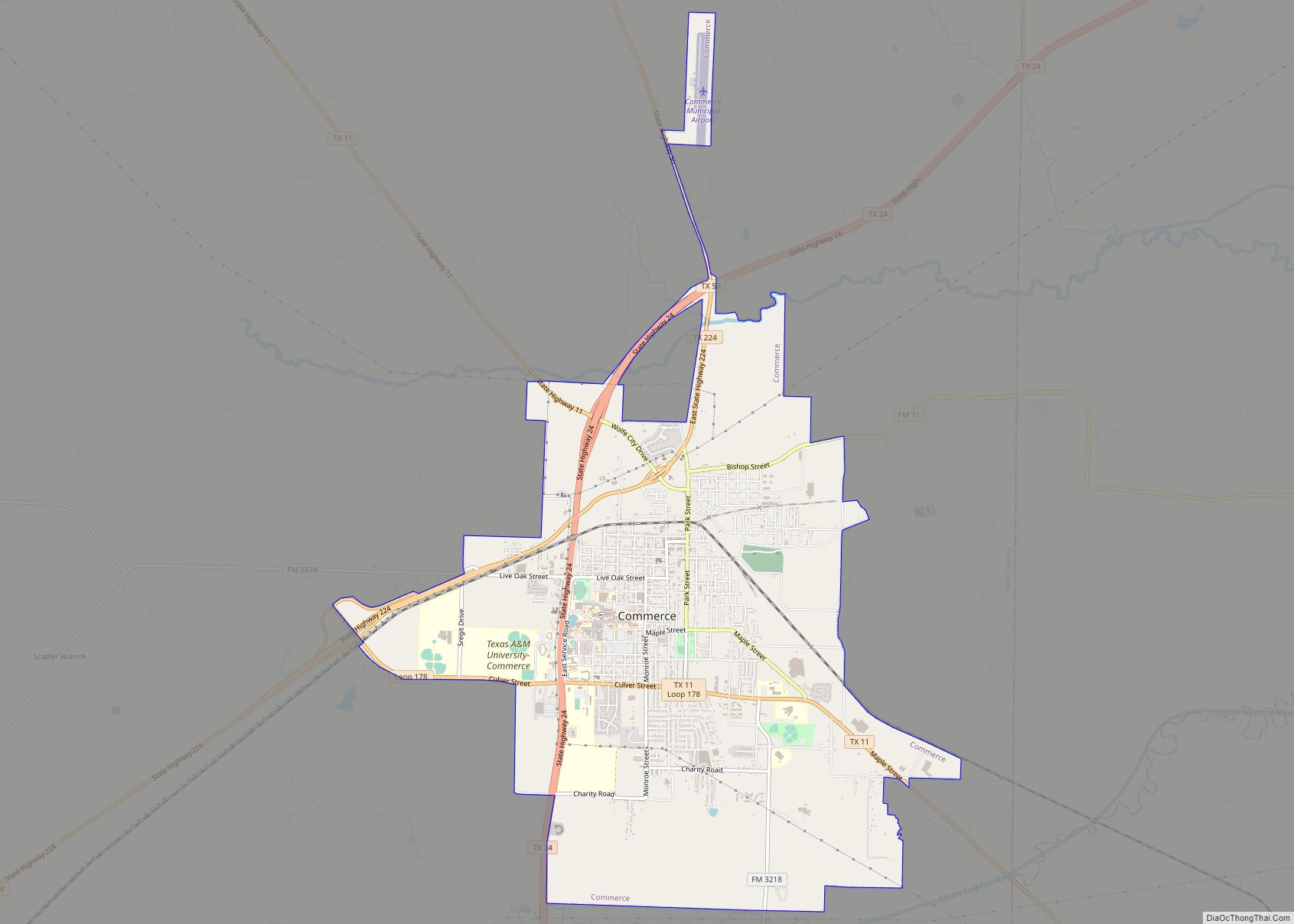
Commerce is a city in Hunt County, Texas, United States, situated on the eastern edge of North Texas, in the heart of the Texas Blackland Prairies. The town is 45 miles (72 km) south of the Texas/Oklahoma border. Commerce is the second-largest city in Hunt County, with a population of 9,090 at the 2020 census. The city is home to Texas A&M University–Commerce, a four-year university of more than 12,000 students that has been in the town since 1894. Commerce is one of the smallest college towns in Texas.
| Name: | Commerce city |
|---|---|
| LSAD Code: | 25 |
| LSAD Description: | city (suffix) |
| State: | Texas |
| County: | Hunt County |
| Elevation: | 554 ft (169 m) |
| Total Area: | 8.41 sq mi (21.77 km²) |
| Land Area: | 8.33 sq mi (21.58 km²) |
| Water Area: | 0.07 sq mi (0.19 km²) |
| Total Population: | 9,090 |
| Population Density: | 1,080.85/sq mi (417.54/km²) |
| ZIP code: | 75428-75429 |
| Area code: | 903 |
| FIPS code: | 4816240 |
| GNISfeature ID: | 1373171 |
| Website: | commercetx.org |
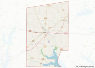
Online Interactive Map
Click on ![]() to view map in "full screen" mode.
to view map in "full screen" mode.
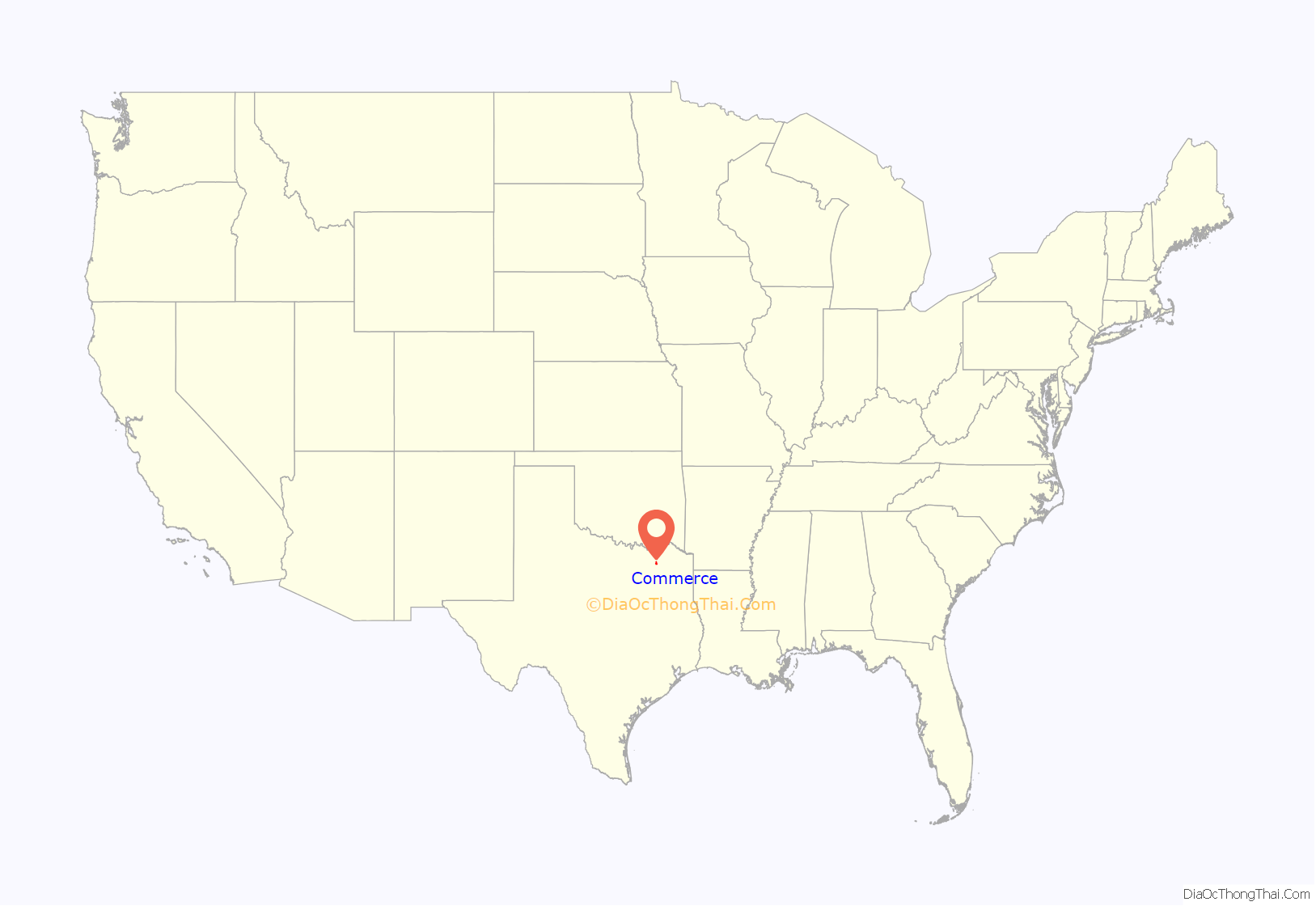
Commerce location map. Where is Commerce city?
History
The town of Commerce was formed when two merchants named William Jernigan and Josiah Jackson established a trading post and mercantile store where the present-day downtown area is. The rural area just to the northeast was an open prairie originally known as Cow Hill. The town was established in 1872 and named “Commerce” due to the thriving economic activity among the cotton fields and ideal farm and ranch lands between the Middle and South Sulphur rivers on the rich, black gumbo prairie in northeast Hunt County. The town incorporated in 1885. Two years later, a railroad was built through Commerce to transport merchandise from Fort Worth, and nine years later, William L. Mayo, a college educator, moved East Texas Normal College from the northeast Texas town of Cooper to Commerce after the original school in Cooper was destroyed in a fire. Mayo continued as president of the college, now known as Texas A&M University–Commerce, until his death in 1917 and is buried on the campus grounds.
Commerce was named the “Bois d’Arc Capital of Texas” (pronounced “bow-dark”) by the Texas Legislature because of its location in the geographic center of the indigenous range of the bois d’arc tree. The second largest bois d’arc tree in Texas, “Big Max”, recognized by the National Forests Famous and Historic Trees, is located within the city limits. Held every September, the annual Bois d’Arc Bash pays homage to the native trees which played a vital part in the frontier days, providing foundations, fences and weapons of the Native Americans. The Bash celebrates with arts & crafts vendors, food, parade, kids’ game area, pageant, wine, musical entertainment, 5K run, and car & truck show.
Commerce Road Map
Commerce city Satellite Map
Geography
Commerce is located in northeastern Hunt County at 33°14′42″N 95°54′0″W / 33.24500°N 95.90000°W / 33.24500; -95.90000 (33.244959, −95.899957).
It is 66 miles (106 km) northeast of Dallas, 53 miles (85 km) southeast of Sherman, 38 miles (61 km) southwest of Paris, and 20 miles (32 km) northwest of Sulphur Springs. Greenville, the Hunt county seat, is 15 miles (24 km) southwest of Commerce via Highway 224 or 18 miles (29 km) via Highway 24 and I-30.
According to the United States Census Bureau, Commerce has a total area of 8.0 square miles (20.7 km), of which 7.9 square miles (20.5 km) are land and 0.1 square miles (0.2 km), or 0.94%, are water. The Middle Sulphur River, part of the Red River watershed, runs past the north side of Commerce and forms part of its northern border.
Climate
Commerce’s climate is part of the humid subtropical region. The temperature varies greatly throughout the year. Commerce has hot, humid and dry summers, typical of much of Texas, and above average spring temperatures. Commerce has cooler fall and winter temperatures, with higher wind chills due to its northern location and location on a natural prairie. During the spring is the strongest part of the storm season as thunderstorms are very common and tornadoes have been known to form in and around the area.
See also
Map of Texas State and its subdivision:- Anderson
- Andrews
- Angelina
- Aransas
- Archer
- Armstrong
- Atascosa
- Austin
- Bailey
- Bandera
- Bastrop
- Baylor
- Bee
- Bell
- Bexar
- Blanco
- Borden
- Bosque
- Bowie
- Brazoria
- Brazos
- Brewster
- Briscoe
- Brooks
- Brown
- Burleson
- Burnet
- Caldwell
- Calhoun
- Callahan
- Cameron
- Camp
- Carson
- Cass
- Castro
- Chambers
- Cherokee
- Childress
- Clay
- Cochran
- Coke
- Coleman
- Collin
- Collingsworth
- Colorado
- Comal
- Comanche
- Concho
- Cooke
- Coryell
- Cottle
- Crane
- Crockett
- Crosby
- Culberson
- Dallam
- Dallas
- Dawson
- Deaf Smith
- Delta
- Denton
- Dewitt
- Dickens
- Dimmit
- Donley
- Duval
- Eastland
- Ector
- Edwards
- El Paso
- Ellis
- Erath
- Falls
- Fannin
- Fayette
- Fisher
- Floyd
- Foard
- Fort Bend
- Franklin
- Freestone
- Frio
- Gaines
- Galveston
- Garza
- Gillespie
- Glasscock
- Goliad
- Gonzales
- Gray
- Grayson
- Gregg
- Grimes
- Guadalupe
- Hale
- Hall
- Hamilton
- Hansford
- Hardeman
- Hardin
- Harris
- Harrison
- Hartley
- Haskell
- Hays
- Hemphill
- Henderson
- Hidalgo
- Hill
- Hockley
- Hood
- Hopkins
- Houston
- Howard
- Hudspeth
- Hunt
- Hutchinson
- Irion
- Jack
- Jackson
- Jasper
- Jeff Davis
- Jefferson
- Jim Hogg
- Jim Wells
- Johnson
- Jones
- Karnes
- Kaufman
- Kendall
- Kenedy
- Kent
- Kerr
- Kimble
- King
- Kinney
- Kleberg
- Knox
- La Salle
- Lamar
- Lamb
- Lampasas
- Lavaca
- Lee
- Leon
- Liberty
- Limestone
- Lipscomb
- Live Oak
- Llano
- Loving
- Lubbock
- Lynn
- Madison
- Marion
- Martin
- Mason
- Matagorda
- Maverick
- McCulloch
- McLennan
- McMullen
- Medina
- Menard
- Midland
- Milam
- Mills
- Mitchell
- Montague
- Montgomery
- Moore
- Morris
- Motley
- Nacogdoches
- Navarro
- Newton
- Nolan
- Nueces
- Ochiltree
- Oldham
- Orange
- Palo Pinto
- Panola
- Parker
- Parmer
- Pecos
- Polk
- Potter
- Presidio
- Rains
- Randall
- Reagan
- Real
- Red River
- Reeves
- Refugio
- Roberts
- Robertson
- Rockwall
- Runnels
- Rusk
- Sabine
- San Augustine
- San Jacinto
- San Patricio
- San Saba
- Schleicher
- Scurry
- Shackelford
- Shelby
- Sherman
- Smith
- Somervell
- Starr
- Stephens
- Sterling
- Stonewall
- Sutton
- Swisher
- Tarrant
- Taylor
- Terrell
- Terry
- Throckmorton
- Titus
- Tom Green
- Travis
- Trinity
- Tyler
- Upshur
- Upton
- Uvalde
- Val Verde
- Van Zandt
- Victoria
- Walker
- Waller
- Ward
- Washington
- Webb
- Wharton
- Wheeler
- Wichita
- Wilbarger
- Willacy
- Williamson
- Wilson
- Winkler
- Wise
- Wood
- Yoakum
- Young
- Zapata
- Zavala
- Alabama
- Alaska
- Arizona
- Arkansas
- California
- Colorado
- Connecticut
- Delaware
- District of Columbia
- Florida
- Georgia
- Hawaii
- Idaho
- Illinois
- Indiana
- Iowa
- Kansas
- Kentucky
- Louisiana
- Maine
- Maryland
- Massachusetts
- Michigan
- Minnesota
- Mississippi
- Missouri
- Montana
- Nebraska
- Nevada
- New Hampshire
- New Jersey
- New Mexico
- New York
- North Carolina
- North Dakota
- Ohio
- Oklahoma
- Oregon
- Pennsylvania
- Rhode Island
- South Carolina
- South Dakota
- Tennessee
- Texas
- Utah
- Vermont
- Virginia
- Washington
- West Virginia
- Wisconsin
- Wyoming
