Dalworthington Gardens is a city in Tarrant County, Texas, United States and a suburb of Arlington. Its population was 2,259 at the 2010 census.
| Name: | Dalworthington Gardens city |
|---|---|
| LSAD Code: | 25 |
| LSAD Description: | city (suffix) |
| State: | Texas |
| County: | Tarrant County |
| Elevation: | 571 ft (174 m) |
| Total Area: | 1.82 sq mi (4.72 km²) |
| Land Area: | 1.79 sq mi (4.63 km²) |
| Water Area: | 0.04 sq mi (0.09 km²) 1.95% |
| Total Population: | 2,259 |
| Population Density: | 1,325.50/sq mi (511.84/km²) |
| FIPS code: | 4819084 |
| GNISfeature ID: | 1333892 |
| Website: | http://www.cityofdwg.net/ |
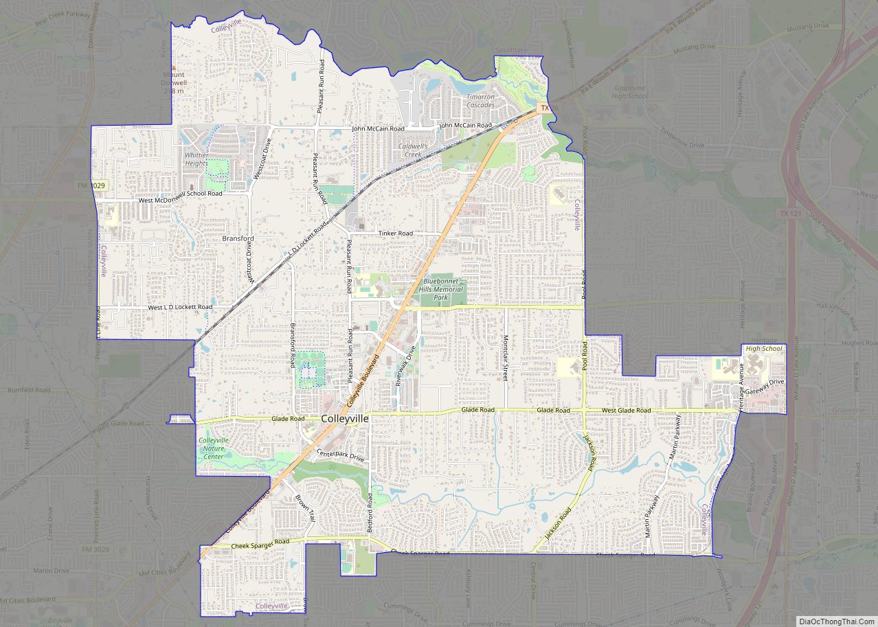
Online Interactive Map
Click on ![]() to view map in "full screen" mode.
to view map in "full screen" mode.
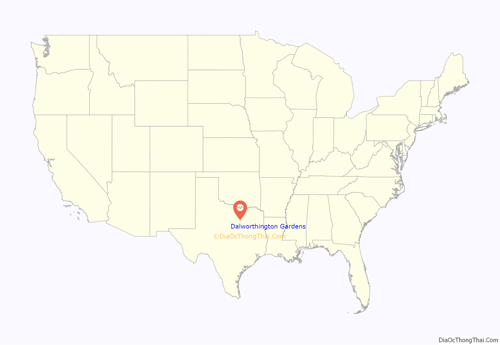
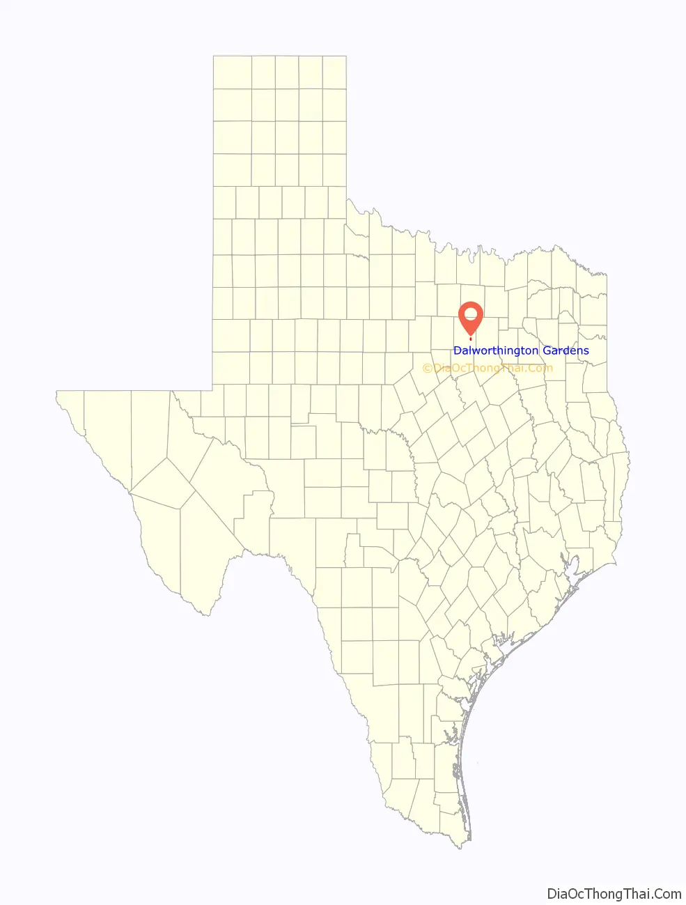
Dalworthington Gardens location map. Where is Dalworthington Gardens city?
History
The community was established in 1934 as a subsistence homestead project during the Great Depression under the authority of the National Industrial Recovery Act as part of the Subsistence Homesteads Division. The purpose of the homestead program was to help families attain a better standard of living through a combination of part-time industrial employment and subsistence agriculture. Dalworthington Gardens was one of five such projects located in Texas. Its inclusion the in group was at the suggestion of Eleanor Roosevelt, who happened upon the area while visiting the Fort Worth family of the woman to whom President Roosevelt and her son Elliot had become engaged. Of the five sites selected for this program, Dalworthington “colony” as it was originally called, is the only one still in existence today. Since it has been in constant operation from its inception, it maintains its original zoning regulations, which allow subsistence farming and livestock on any lots over one-half acre that remain owned and occupied from the time the zoning was first put into effect. Thus, one can see small, older frame homes with livestock on their lot, near and even adjacent to large modern homes with values in excess of $1 million. The community’s name is a portmanteau of the names of the three anchor cities of the metroplex: Dallas, Fort Worth, and Arlington.
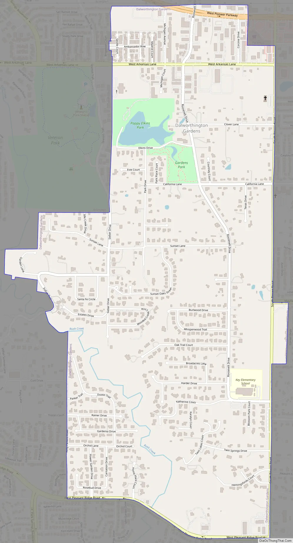
Dalworthington Gardens Road Map
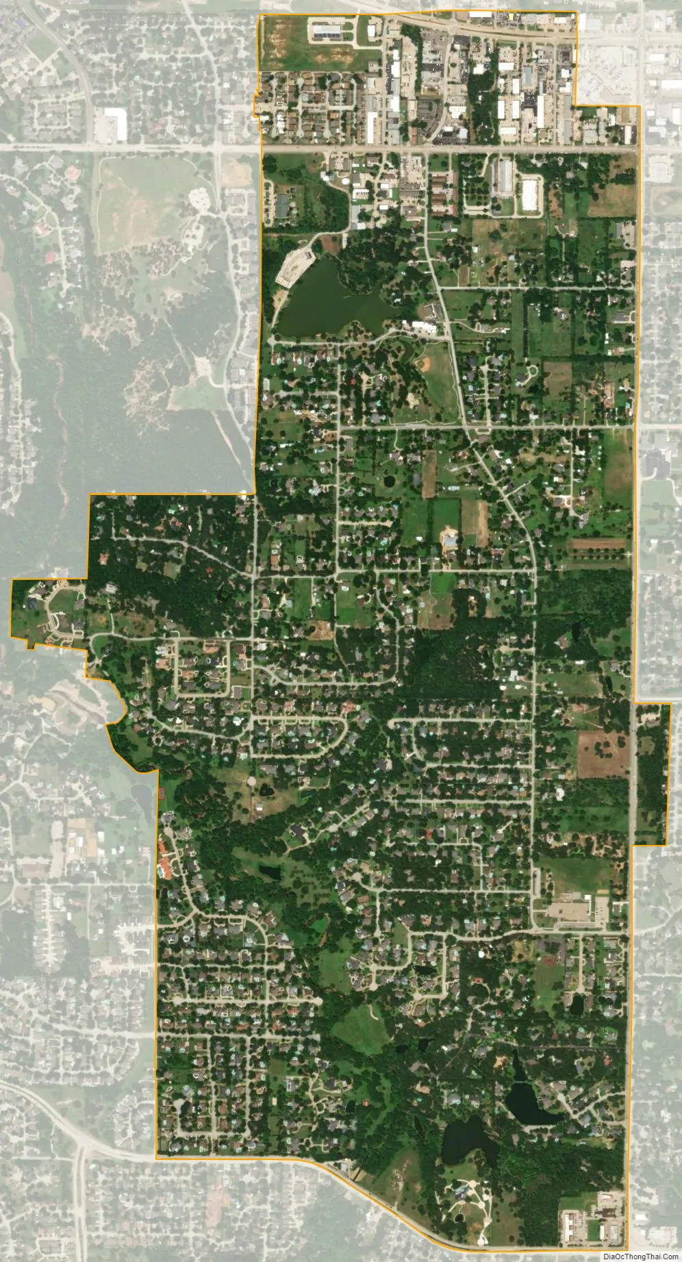
Dalworthington Gardens city Satellite Map
Geography
Dalworthington Gardens is located at 32°41′48″N 97°9′21″W / 32.69667°N 97.15583°W / 32.69667; -97.15583 (32.696633, –97.155705).
According to the United States Census Bureau, the city has a total area of 1.8 square miles (4.7 km), of which 0.04 square miles (0.1 km), or 1.95%, is covered by water.
The town’s northern border adjoins Pantego; both towns are completely surrounded by the city of Arlington.
See also
Map of Texas State and its subdivision:- Anderson
- Andrews
- Angelina
- Aransas
- Archer
- Armstrong
- Atascosa
- Austin
- Bailey
- Bandera
- Bastrop
- Baylor
- Bee
- Bell
- Bexar
- Blanco
- Borden
- Bosque
- Bowie
- Brazoria
- Brazos
- Brewster
- Briscoe
- Brooks
- Brown
- Burleson
- Burnet
- Caldwell
- Calhoun
- Callahan
- Cameron
- Camp
- Carson
- Cass
- Castro
- Chambers
- Cherokee
- Childress
- Clay
- Cochran
- Coke
- Coleman
- Collin
- Collingsworth
- Colorado
- Comal
- Comanche
- Concho
- Cooke
- Coryell
- Cottle
- Crane
- Crockett
- Crosby
- Culberson
- Dallam
- Dallas
- Dawson
- Deaf Smith
- Delta
- Denton
- Dewitt
- Dickens
- Dimmit
- Donley
- Duval
- Eastland
- Ector
- Edwards
- El Paso
- Ellis
- Erath
- Falls
- Fannin
- Fayette
- Fisher
- Floyd
- Foard
- Fort Bend
- Franklin
- Freestone
- Frio
- Gaines
- Galveston
- Garza
- Gillespie
- Glasscock
- Goliad
- Gonzales
- Gray
- Grayson
- Gregg
- Grimes
- Guadalupe
- Hale
- Hall
- Hamilton
- Hansford
- Hardeman
- Hardin
- Harris
- Harrison
- Hartley
- Haskell
- Hays
- Hemphill
- Henderson
- Hidalgo
- Hill
- Hockley
- Hood
- Hopkins
- Houston
- Howard
- Hudspeth
- Hunt
- Hutchinson
- Irion
- Jack
- Jackson
- Jasper
- Jeff Davis
- Jefferson
- Jim Hogg
- Jim Wells
- Johnson
- Jones
- Karnes
- Kaufman
- Kendall
- Kenedy
- Kent
- Kerr
- Kimble
- King
- Kinney
- Kleberg
- Knox
- La Salle
- Lamar
- Lamb
- Lampasas
- Lavaca
- Lee
- Leon
- Liberty
- Limestone
- Lipscomb
- Live Oak
- Llano
- Loving
- Lubbock
- Lynn
- Madison
- Marion
- Martin
- Mason
- Matagorda
- Maverick
- McCulloch
- McLennan
- McMullen
- Medina
- Menard
- Midland
- Milam
- Mills
- Mitchell
- Montague
- Montgomery
- Moore
- Morris
- Motley
- Nacogdoches
- Navarro
- Newton
- Nolan
- Nueces
- Ochiltree
- Oldham
- Orange
- Palo Pinto
- Panola
- Parker
- Parmer
- Pecos
- Polk
- Potter
- Presidio
- Rains
- Randall
- Reagan
- Real
- Red River
- Reeves
- Refugio
- Roberts
- Robertson
- Rockwall
- Runnels
- Rusk
- Sabine
- San Augustine
- San Jacinto
- San Patricio
- San Saba
- Schleicher
- Scurry
- Shackelford
- Shelby
- Sherman
- Smith
- Somervell
- Starr
- Stephens
- Sterling
- Stonewall
- Sutton
- Swisher
- Tarrant
- Taylor
- Terrell
- Terry
- Throckmorton
- Titus
- Tom Green
- Travis
- Trinity
- Tyler
- Upshur
- Upton
- Uvalde
- Val Verde
- Van Zandt
- Victoria
- Walker
- Waller
- Ward
- Washington
- Webb
- Wharton
- Wheeler
- Wichita
- Wilbarger
- Willacy
- Williamson
- Wilson
- Winkler
- Wise
- Wood
- Yoakum
- Young
- Zapata
- Zavala
- Alabama
- Alaska
- Arizona
- Arkansas
- California
- Colorado
- Connecticut
- Delaware
- District of Columbia
- Florida
- Georgia
- Hawaii
- Idaho
- Illinois
- Indiana
- Iowa
- Kansas
- Kentucky
- Louisiana
- Maine
- Maryland
- Massachusetts
- Michigan
- Minnesota
- Mississippi
- Missouri
- Montana
- Nebraska
- Nevada
- New Hampshire
- New Jersey
- New Mexico
- New York
- North Carolina
- North Dakota
- Ohio
- Oklahoma
- Oregon
- Pennsylvania
- Rhode Island
- South Carolina
- South Dakota
- Tennessee
- Texas
- Utah
- Vermont
- Virginia
- Washington
- West Virginia
- Wisconsin
- Wyoming