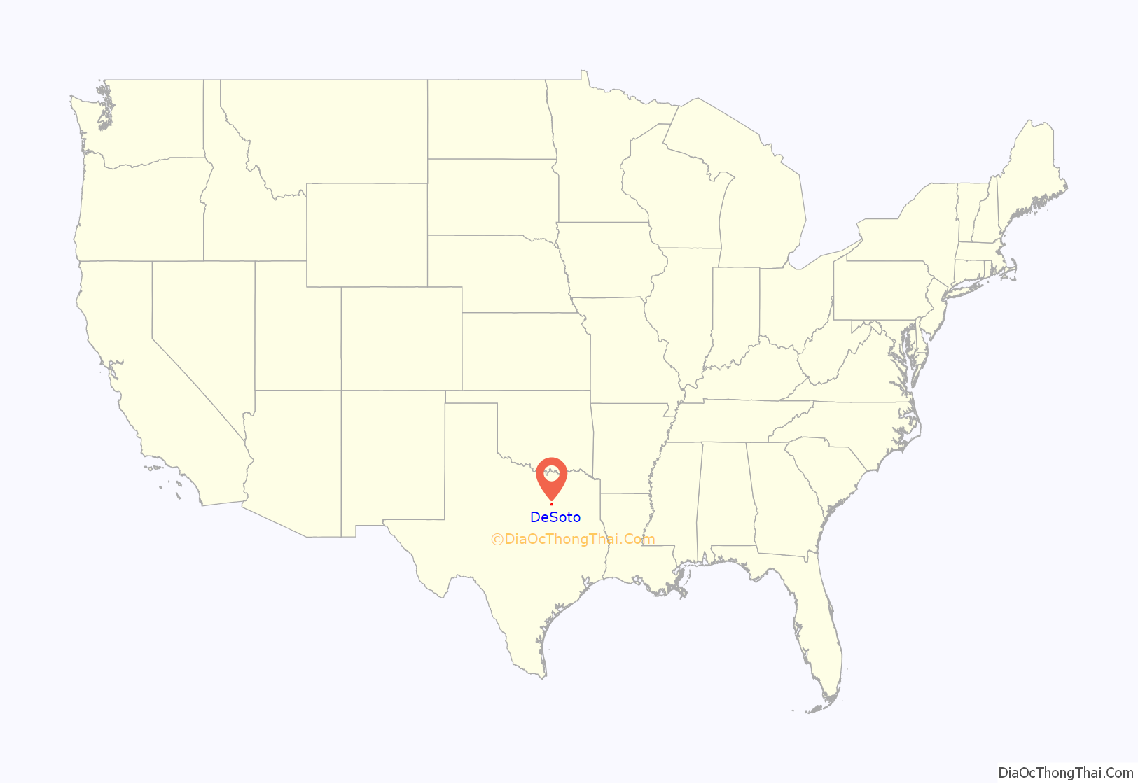
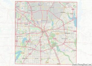
DeSoto is a city in Dallas County, Texas, in the United States. DeSoto is a suburb of Dallas and is part of the Best Southwest area, which includes DeSoto, Cedar Hill, Duncanville, and Lancaster.
| Name: | DeSoto city |
|---|---|
| LSAD Code: | 25 |
| LSAD Description: | city (suffix) |
| State: | Texas |
| County: | Dallas County |
| Incorporated: | 1949 |
| Elevation: | 666 ft (203 m) |
| Total Area: | 21.67 sq mi (56.12 km²) |
| Land Area: | 21.63 sq mi (56.03 km²) |
| Water Area: | 0.03 sq mi (0.09 km²) |
| Total Population: | 49,047 |
| Population Density: | 2,449.41/sq mi (945.70/km²) |
| ZIP code: | 75115, 75123 |
| Area code: | 214, 469, 972 |
| FIPS code: | 4820092 |
| GNISfeature ID: | 1373357 |
Online Interactive Map
Click on ![]() to view map in "full screen" mode.
to view map in "full screen" mode.
DeSoto location map. Where is DeSoto city?
History
The area was first settled in 1847, making it one of the oldest communities in North Texas. A post office was established in 1881, and the settlement was named DeSoto in honor of Thomas Hernando DeSoto Stewart, a doctor dedicated to the community. By 1885, DeSoto was home to around 120 people, a cotton gin, and a general store. Soon after, the population declined to below 50. In 1930, 97 people were living in the community, with several businesses.
After World War II, DeSoto and surrounding areas began to grow. To improve the inadequate water distribution system, residents felt the need to incorporate the town. On February 17, 1949, a petition signed by 42 eligible voters was presented to the Dallas County judge requesting an election for incorporation. The vote took place on March 2. Of the 52 people who cast ballots, 50 voted in favor of incorporation and two were opposed. On March 3, 1949, the results were entered into the records of the Dallas County Commissioners Court, thereby creating the City of DeSoto. The new city was less than one square mile in size. On March 15, Wayne A. Chowning was elected mayor along with five aldermen. The first city council meeting was held two days later.
The first census conducted after DeSoto’s incorporation occurred in 1950. eight businesses and 298 people were in the city. Following a series of annexations in 1953, the city covered around 15 sq mi (39 km). By 1960, the population had grown to 1,969. In 1970, DeSoto was home to 6,617 people and 71 businesses.
During the 1970s, continued growth brought about improvements to the municipal infrastructure, including road construction, and a new water/sewage system. Industrial, commercial, and residential construction also increased. On October 26, 1974, an election was held to determine the status of Woodland Hills, a small, incorporated community located northwest of DeSoto. The result was 221 votes in favor of a merger with DeSoto and 219 opposed. Woodland Hills had a population of 366 at the time of annexation. The rapid growth that began in the early 1970s was sustained throughout the 1980s; 1980 census figures put the city’s population at slightly over 15,000. By 1984, DeSoto had a total of 360 businesses, up from 168 in 1980.
The population surpassed 30,000 in 1990. City development progressed in the following years. A primary example of this was the creation of DeSoto’s Town Center. Officials converted an abandoned strip center located at one of the city’s main intersections into a unique central business district. Since its opening, the Town Center has become an anchor of the community, housing city hall, the public library, a civic center, recreation cente, and a 180-seat auditorium and outdoor amphitheater.
Throughout the 1990s, DeSoto experienced a significant change in the demographic composition of the city. In the 1990 census, Whites comprised 75.97% of the city’s population, but that figure had declined to 48.83% in the 2000 census, and 17.4% non-Hispanic White by 2010. By contrast, the African American population grew rapidly. In 2000, African Americans were 45.53% of the population, up from 20.83% in 1990. Hispanics accounted for 4.98% of the population in 1990 and 7.30% in 2000. With roughly 45,500 residents as of 2005, DeSoto is the largest and most diverse city in southwest Dallas County.
On June 11, 2006, the National Civic League named DeSoto an “All-America City”. The All-America City Award is the nation’s oldest community-recognition program and recognizes communities whose citizens work together to identify and tackle community-wide challenges and achieve uncommon results.
A 2015 article related a growing trend of largely middle class and educated African Americans moving to DeSoto.
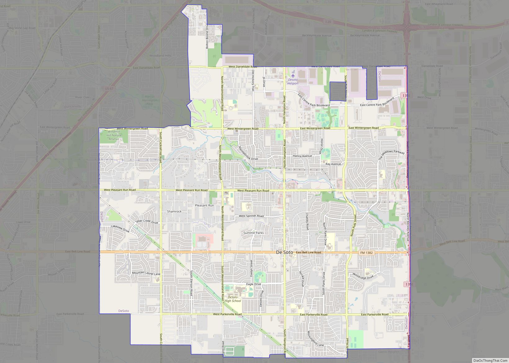
DeSoto Road Map
DeSoto city Satellite Map
Geography
DeSoto is located at 32°35′57″N 96°51′32″W / 32.59917°N 96.85889°W / 32.59917; -96.85889 (32.599286, −96.858828).
According to the United States Census Bureau, the city has a total area of 21.6 sq mi (56 km), all of it land.
See also
Map of Texas State and its subdivision:- Anderson
- Andrews
- Angelina
- Aransas
- Archer
- Armstrong
- Atascosa
- Austin
- Bailey
- Bandera
- Bastrop
- Baylor
- Bee
- Bell
- Bexar
- Blanco
- Borden
- Bosque
- Bowie
- Brazoria
- Brazos
- Brewster
- Briscoe
- Brooks
- Brown
- Burleson
- Burnet
- Caldwell
- Calhoun
- Callahan
- Cameron
- Camp
- Carson
- Cass
- Castro
- Chambers
- Cherokee
- Childress
- Clay
- Cochran
- Coke
- Coleman
- Collin
- Collingsworth
- Colorado
- Comal
- Comanche
- Concho
- Cooke
- Coryell
- Cottle
- Crane
- Crockett
- Crosby
- Culberson
- Dallam
- Dallas
- Dawson
- Deaf Smith
- Delta
- Denton
- Dewitt
- Dickens
- Dimmit
- Donley
- Duval
- Eastland
- Ector
- Edwards
- El Paso
- Ellis
- Erath
- Falls
- Fannin
- Fayette
- Fisher
- Floyd
- Foard
- Fort Bend
- Franklin
- Freestone
- Frio
- Gaines
- Galveston
- Garza
- Gillespie
- Glasscock
- Goliad
- Gonzales
- Gray
- Grayson
- Gregg
- Grimes
- Guadalupe
- Hale
- Hall
- Hamilton
- Hansford
- Hardeman
- Hardin
- Harris
- Harrison
- Hartley
- Haskell
- Hays
- Hemphill
- Henderson
- Hidalgo
- Hill
- Hockley
- Hood
- Hopkins
- Houston
- Howard
- Hudspeth
- Hunt
- Hutchinson
- Irion
- Jack
- Jackson
- Jasper
- Jeff Davis
- Jefferson
- Jim Hogg
- Jim Wells
- Johnson
- Jones
- Karnes
- Kaufman
- Kendall
- Kenedy
- Kent
- Kerr
- Kimble
- King
- Kinney
- Kleberg
- Knox
- La Salle
- Lamar
- Lamb
- Lampasas
- Lavaca
- Lee
- Leon
- Liberty
- Limestone
- Lipscomb
- Live Oak
- Llano
- Loving
- Lubbock
- Lynn
- Madison
- Marion
- Martin
- Mason
- Matagorda
- Maverick
- McCulloch
- McLennan
- McMullen
- Medina
- Menard
- Midland
- Milam
- Mills
- Mitchell
- Montague
- Montgomery
- Moore
- Morris
- Motley
- Nacogdoches
- Navarro
- Newton
- Nolan
- Nueces
- Ochiltree
- Oldham
- Orange
- Palo Pinto
- Panola
- Parker
- Parmer
- Pecos
- Polk
- Potter
- Presidio
- Rains
- Randall
- Reagan
- Real
- Red River
- Reeves
- Refugio
- Roberts
- Robertson
- Rockwall
- Runnels
- Rusk
- Sabine
- San Augustine
- San Jacinto
- San Patricio
- San Saba
- Schleicher
- Scurry
- Shackelford
- Shelby
- Sherman
- Smith
- Somervell
- Starr
- Stephens
- Sterling
- Stonewall
- Sutton
- Swisher
- Tarrant
- Taylor
- Terrell
- Terry
- Throckmorton
- Titus
- Tom Green
- Travis
- Trinity
- Tyler
- Upshur
- Upton
- Uvalde
- Val Verde
- Van Zandt
- Victoria
- Walker
- Waller
- Ward
- Washington
- Webb
- Wharton
- Wheeler
- Wichita
- Wilbarger
- Willacy
- Williamson
- Wilson
- Winkler
- Wise
- Wood
- Yoakum
- Young
- Zapata
- Zavala
- Alabama
- Alaska
- Arizona
- Arkansas
- California
- Colorado
- Connecticut
- Delaware
- District of Columbia
- Florida
- Georgia
- Hawaii
- Idaho
- Illinois
- Indiana
- Iowa
- Kansas
- Kentucky
- Louisiana
- Maine
- Maryland
- Massachusetts
- Michigan
- Minnesota
- Mississippi
- Missouri
- Montana
- Nebraska
- Nevada
- New Hampshire
- New Jersey
- New Mexico
- New York
- North Carolina
- North Dakota
- Ohio
- Oklahoma
- Oregon
- Pennsylvania
- Rhode Island
- South Carolina
- South Dakota
- Tennessee
- Texas
- Utah
- Vermont
- Virginia
- Washington
- West Virginia
- Wisconsin
- Wyoming
