Forest Hill is a suburb of Fort Worth in Tarrant County, Texas, United States. The population was 12,355 at the 2010 census.
| Name: | Forest Hill city |
|---|---|
| LSAD Code: | 25 |
| LSAD Description: | city (suffix) |
| State: | Texas |
| County: | Tarrant County |
| Elevation: | 682 ft (208 m) |
| Total Area: | 4.17 sq mi (10.80 km²) |
| Land Area: | 4.17 sq mi (10.80 km²) |
| Water Area: | 0.00 sq mi (0.00 km²) |
| Total Population: | 12,355 |
| Population Density: | 3,113.88/sq mi (1,202.16/km²) |
| ZIP code: | 76119 and 76140 |
| Area code: | 817 |
| FIPS code: | 4826544 |
| GNISfeature ID: | 1336023 |
| Website: | ForestHillTX.org |
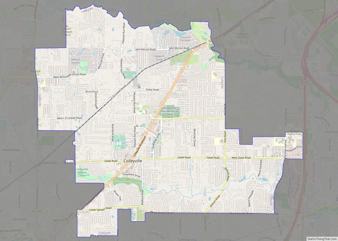
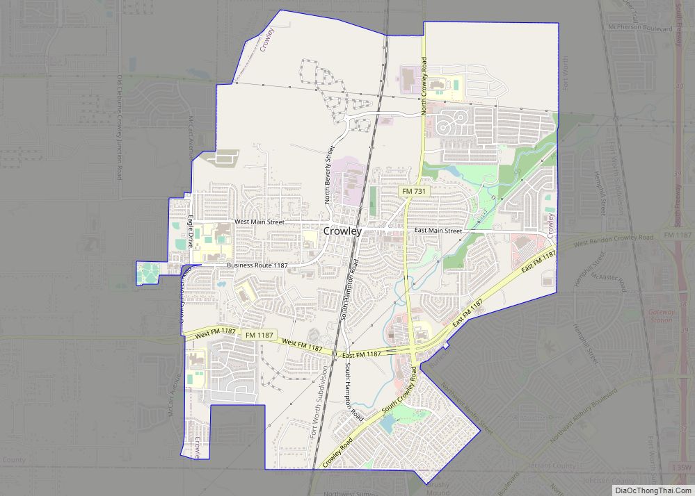
Online Interactive Map
Click on ![]() to view map in "full screen" mode.
to view map in "full screen" mode.
Forest Hill location map. Where is Forest Hill city?


History
Forest Hill began around 1860. The community was called Brambleton Station and Forest Hill Village before being named Forest Hill. By 1896 the community had its first schools and was established as a suburb of Fort Worth. In 1905 Old Mansfield Road and Forest Hill Drive were the city’s two main roads. In 1912 citizens drilled a “crooked hole well,” the first private water system in the community. By 1925 the community had 25 residents and two businesses. Forest Hill gained a new source of water in the early 1940s. By 1944 Trentman Company and the Johnson Campbell Company began building homes. The owners of the private water system sold it to Texas Water Company.
The community incorporated as a village on March 16, 1946. In the late 1940s the village had around 90 people. In 1949 the village petitioned to be relabeled as a city after reaching 500 citizens; on April 8 of that year the village was relabeled as a city. By 1954 the volunteer fire department, the court, and the corporation court opened. The city had 1,519 people in the mid-1950s.
The city expanded in the 1960s. In 1967 the city had 3,800 people; the city grew due to its proximity to Fort Worth. By the early 1970s the city adopted the Forest Hill Home Rule Charter in order to more easily annex territory and to allow for better governance. The city had 10,250 people in 1976 and 11,482 in 1990. In the 1970s, it elected its first female mayor, Jackie Larson.
Forest Hill Road Map

Forest Hill city Satellite Map

Geography
Forest Hill is located at 32°39′48″N 97°16′6″W / 32.66333°N 97.26833°W / 32.66333; -97.26833 (32.663383, –97.268292).
According to the United States Census Bureau, the city has a total area of 4.2 square miles (11.0 km), all land.
See also
Map of Texas State and its subdivision:- Anderson
- Andrews
- Angelina
- Aransas
- Archer
- Armstrong
- Atascosa
- Austin
- Bailey
- Bandera
- Bastrop
- Baylor
- Bee
- Bell
- Bexar
- Blanco
- Borden
- Bosque
- Bowie
- Brazoria
- Brazos
- Brewster
- Briscoe
- Brooks
- Brown
- Burleson
- Burnet
- Caldwell
- Calhoun
- Callahan
- Cameron
- Camp
- Carson
- Cass
- Castro
- Chambers
- Cherokee
- Childress
- Clay
- Cochran
- Coke
- Coleman
- Collin
- Collingsworth
- Colorado
- Comal
- Comanche
- Concho
- Cooke
- Coryell
- Cottle
- Crane
- Crockett
- Crosby
- Culberson
- Dallam
- Dallas
- Dawson
- Deaf Smith
- Delta
- Denton
- Dewitt
- Dickens
- Dimmit
- Donley
- Duval
- Eastland
- Ector
- Edwards
- El Paso
- Ellis
- Erath
- Falls
- Fannin
- Fayette
- Fisher
- Floyd
- Foard
- Fort Bend
- Franklin
- Freestone
- Frio
- Gaines
- Galveston
- Garza
- Gillespie
- Glasscock
- Goliad
- Gonzales
- Gray
- Grayson
- Gregg
- Grimes
- Guadalupe
- Hale
- Hall
- Hamilton
- Hansford
- Hardeman
- Hardin
- Harris
- Harrison
- Hartley
- Haskell
- Hays
- Hemphill
- Henderson
- Hidalgo
- Hill
- Hockley
- Hood
- Hopkins
- Houston
- Howard
- Hudspeth
- Hunt
- Hutchinson
- Irion
- Jack
- Jackson
- Jasper
- Jeff Davis
- Jefferson
- Jim Hogg
- Jim Wells
- Johnson
- Jones
- Karnes
- Kaufman
- Kendall
- Kenedy
- Kent
- Kerr
- Kimble
- King
- Kinney
- Kleberg
- Knox
- La Salle
- Lamar
- Lamb
- Lampasas
- Lavaca
- Lee
- Leon
- Liberty
- Limestone
- Lipscomb
- Live Oak
- Llano
- Loving
- Lubbock
- Lynn
- Madison
- Marion
- Martin
- Mason
- Matagorda
- Maverick
- McCulloch
- McLennan
- McMullen
- Medina
- Menard
- Midland
- Milam
- Mills
- Mitchell
- Montague
- Montgomery
- Moore
- Morris
- Motley
- Nacogdoches
- Navarro
- Newton
- Nolan
- Nueces
- Ochiltree
- Oldham
- Orange
- Palo Pinto
- Panola
- Parker
- Parmer
- Pecos
- Polk
- Potter
- Presidio
- Rains
- Randall
- Reagan
- Real
- Red River
- Reeves
- Refugio
- Roberts
- Robertson
- Rockwall
- Runnels
- Rusk
- Sabine
- San Augustine
- San Jacinto
- San Patricio
- San Saba
- Schleicher
- Scurry
- Shackelford
- Shelby
- Sherman
- Smith
- Somervell
- Starr
- Stephens
- Sterling
- Stonewall
- Sutton
- Swisher
- Tarrant
- Taylor
- Terrell
- Terry
- Throckmorton
- Titus
- Tom Green
- Travis
- Trinity
- Tyler
- Upshur
- Upton
- Uvalde
- Val Verde
- Van Zandt
- Victoria
- Walker
- Waller
- Ward
- Washington
- Webb
- Wharton
- Wheeler
- Wichita
- Wilbarger
- Willacy
- Williamson
- Wilson
- Winkler
- Wise
- Wood
- Yoakum
- Young
- Zapata
- Zavala
- Alabama
- Alaska
- Arizona
- Arkansas
- California
- Colorado
- Connecticut
- Delaware
- District of Columbia
- Florida
- Georgia
- Hawaii
- Idaho
- Illinois
- Indiana
- Iowa
- Kansas
- Kentucky
- Louisiana
- Maine
- Maryland
- Massachusetts
- Michigan
- Minnesota
- Mississippi
- Missouri
- Montana
- Nebraska
- Nevada
- New Hampshire
- New Jersey
- New Mexico
- New York
- North Carolina
- North Dakota
- Ohio
- Oklahoma
- Oregon
- Pennsylvania
- Rhode Island
- South Carolina
- South Dakota
- Tennessee
- Texas
- Utah
- Vermont
- Virginia
- Washington
- West Virginia
- Wisconsin
- Wyoming