Stamford is a city on the border of Jones and Haskell Counties in west-central Texas. The population was 3,124 at the 2010 census, down from 3,636 at the 2000 census. Henry McHarg, president of the Texas Central Railroad, named the site in 1900 for his hometown of Stamford, Connecticut. The city is home to the Texas Cowboy Reunion.
Stamford is on U.S. Highway 277 and State Highway 6. Most of the city is in Jones County. The portion of the city within Jones County is part of the Abilene, Texas metropolitan area.
| Name: | Stamford city |
|---|---|
| LSAD Code: | 25 |
| LSAD Description: | city (suffix) |
| State: | Texas |
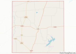
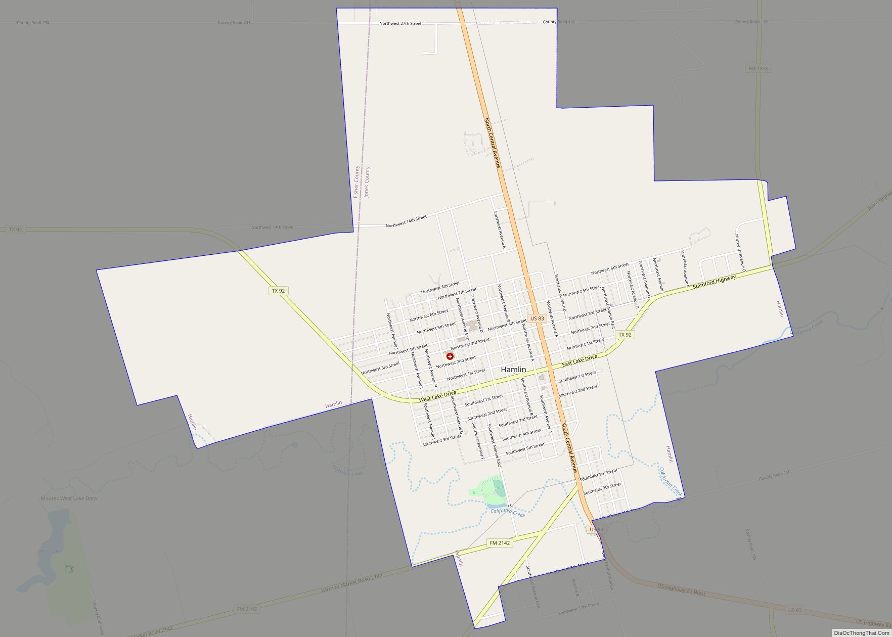
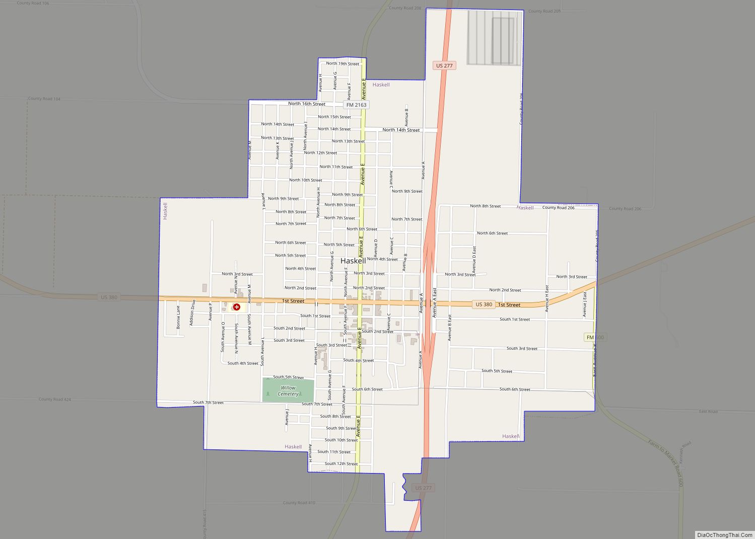
| County: | Haskell County, Jones County |
| Elevation: | 1,614 ft (492 m) |
| Total Area: | 12.92 sq mi (33.46 km²) |
| Land Area: | 5.96 sq mi (15.44 km²) |
| Water Area: | 6.96 sq mi (18.01 km²) |
| Total Population: | 3,124 |
| Population Density: | 493.29/sq mi (190.46/km²) |
| ZIP code: | 79553 |
| Area code: | 325 |
| FIPS code: | 4869980 |
| GNISfeature ID: | 1347793 |
| Website: | www.stamfordtx.org |
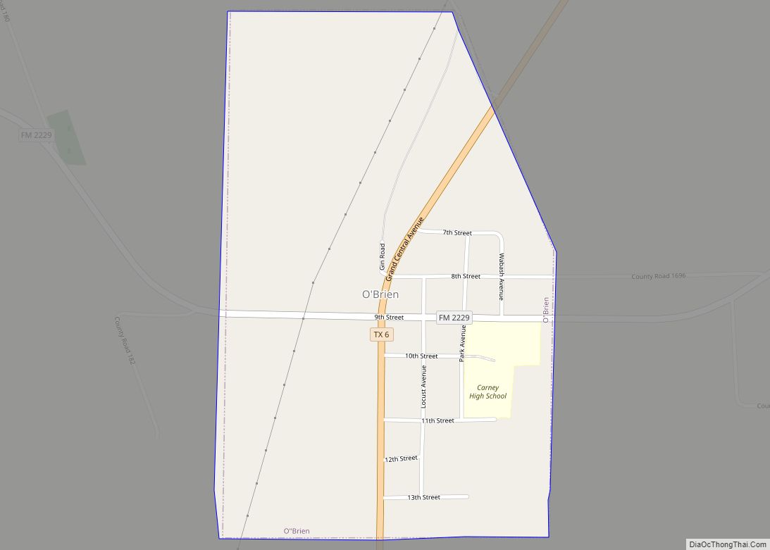
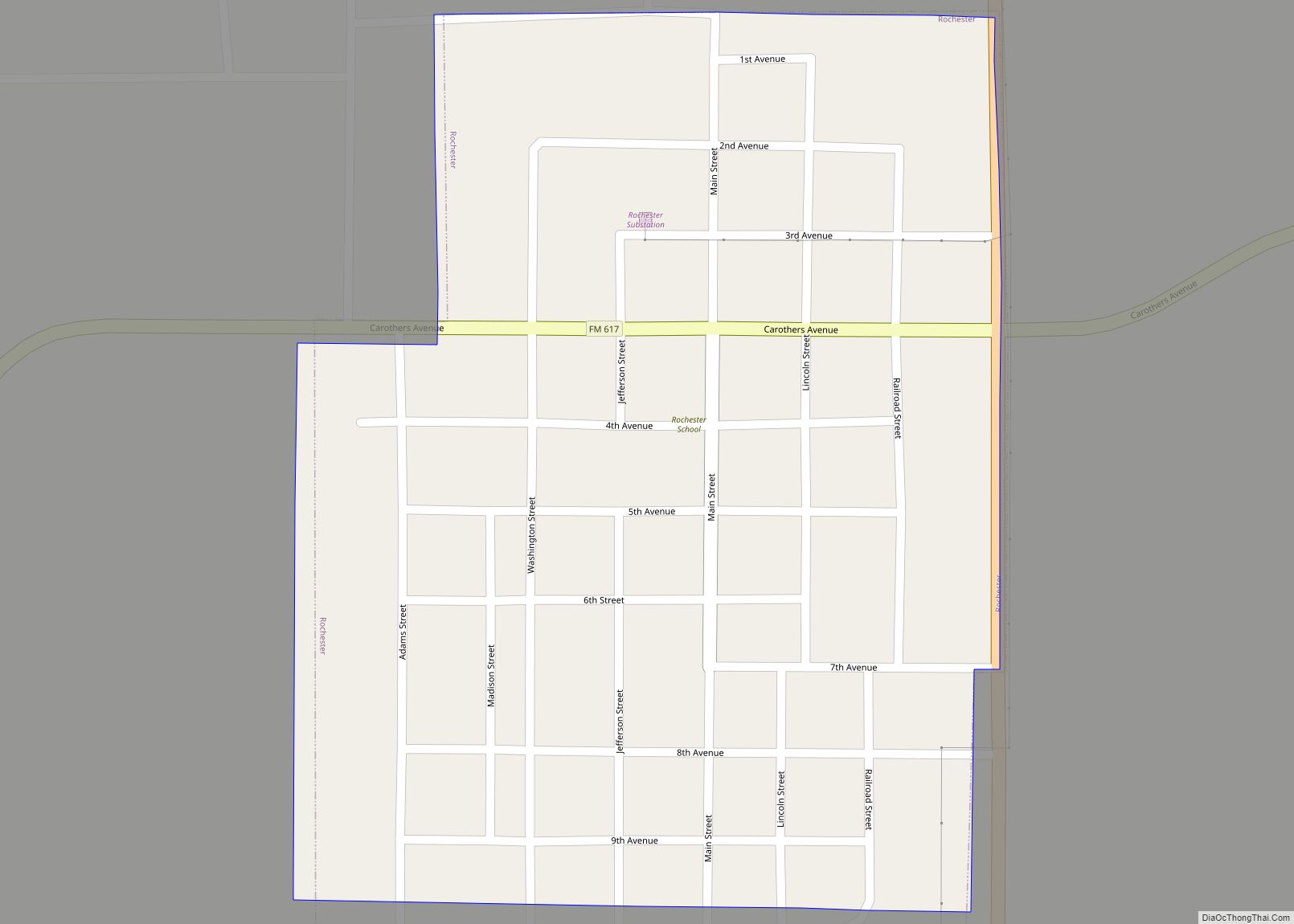
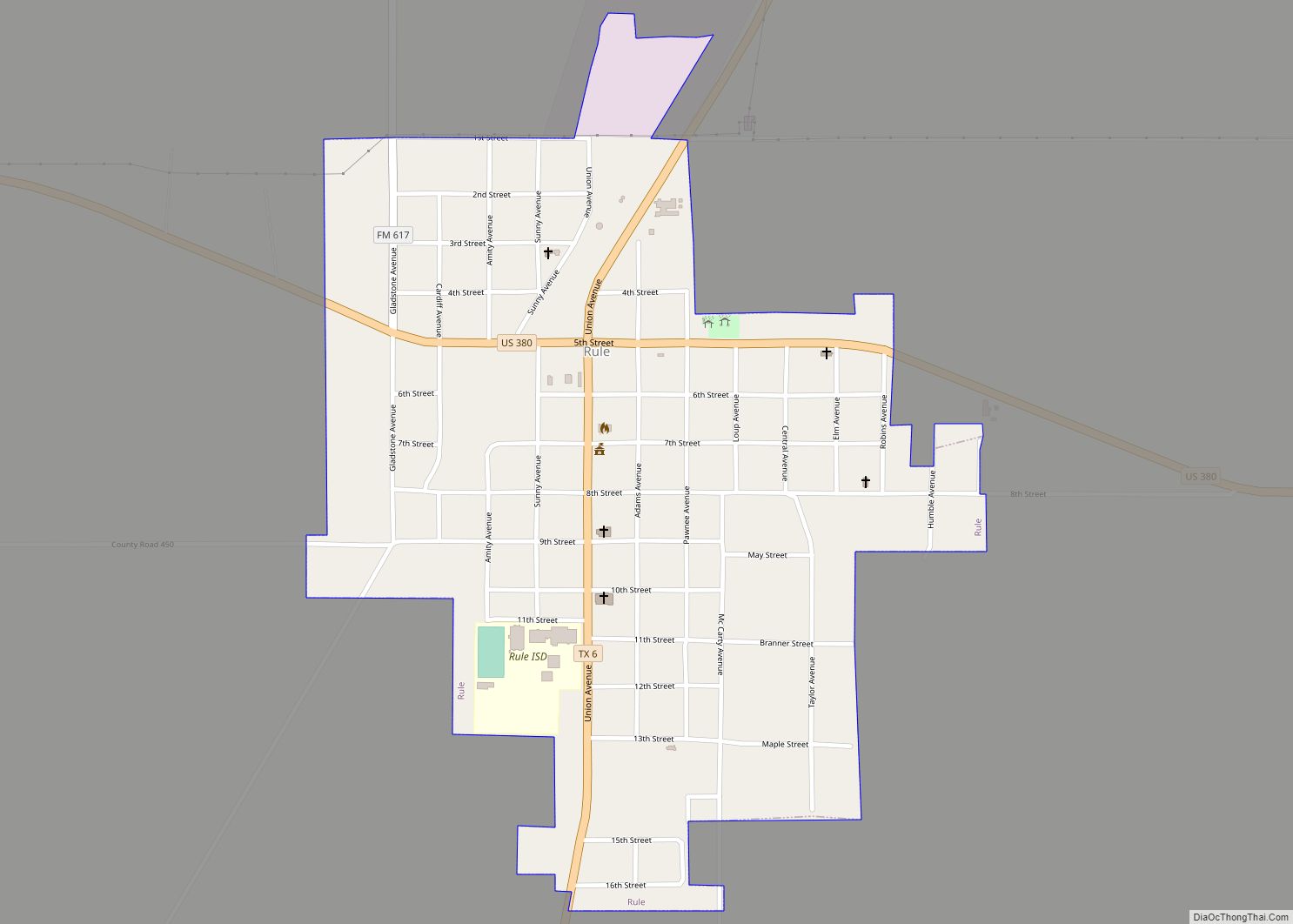
Online Interactive Map
Click on ![]() to view map in "full screen" mode.
to view map in "full screen" mode.
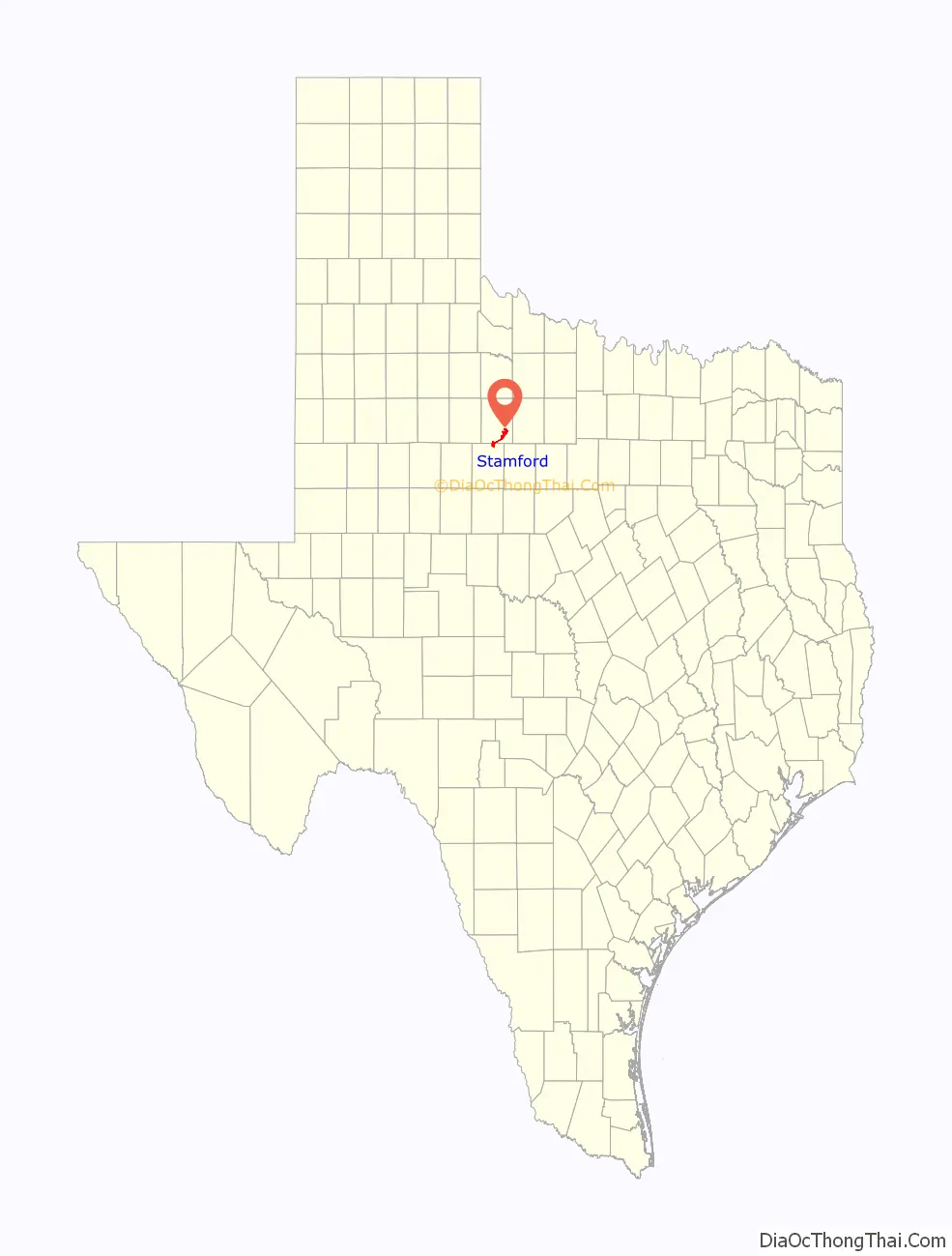
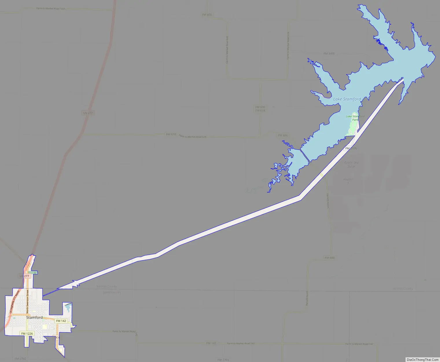
Stamford location map. Where is Stamford city?

History
While the town was named by Henry King McHarg for Stamford, Connecticut, the townsite was donated by the family of Swante Magnus Swenson. Mr. Swenson was the first Swedish immigrant to Texas. He became one of the largest landowners in Texas, and by 1860, his holdings in West Texas approached 500,000 acres (202,343 ha). These ranches, which spread across 12 Texas counties, became known as the SMS Ranches. Later reorganized as the Swenson Land and Cattle Company, it is headquartered in Stamford to this day. Mr. Swenson had two sons, Eric Pierson and Swen Albin, who became known as the Swenson brothers. They ran SMS Ranches, and even developed a Morab horse-breeding program near the city.
Swante M. Swenson is largely responsible for initiating and supporting Swedish immigration to Texas, starting in 1847. Mr. Swenson assisted Swedish immigrants with the cost of their passage from Sweden to Texas in exchange for their labor. In 1899, the Swenson brothers persuaded Henry McHarg, president of the Texas Central Railroad, to extend the railroad through their land. The brothers then founded Stamford in 1900 and provided the townsite of 640 acres (259 ha). The town and surrounding area were then partially settled by immigrants from Sweden. Many of the cotton farmers who moved to the area bought tracts of land from the Swenson brothers. Stamford’s main street is named Swenson.
In 1900, the railroad arrived in Stamford, when the independent Texas Central Railway completed its 38-mile (61 km) line from Albany to the town. In 1906–7, the Texas Central built another line, connecting Stamford with Rotan. By 1908, Stamford was connected to points north and east, through a line of the Wichita Valley Railroad running south from Seymour and commissioned expressly for this purpose.
Stamford College was founded as Stamford Collegiate Institute in September 1907 by the Northwest Texas Methodist Conference. Drought and World War I caused declining enrollments, and the college was closed in 1918 after a fire. The president of Stamford College went on to found McMurry University in Abilene.
In 1930, the Swensons were largely responsible for the founding of the annual Texas Cowboy Reunion.
The city’s general-aviation airport, Arledge Field, began operation in April 1941 as an Army Air Corps training center during World War II.
For the city’s first half century, order was kept by police chief George G. Flournoy. A small, crippled, cigar-chewing man, Flournoy began each day’s work with target shooting at a stump outside city hall.
In 1967, the rail line which connected Stamford to Albany and Waco was abandoned by the Missouri, Kansas & Texas Railway, which had leased the Texas Central since 1914. Though the line from Stamford to Rotan was reacquired by the Texas Central Railway, it was sold three years later to the Fort Worth & Denver Railway Company, and subsequently abandoned.
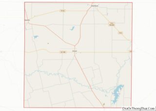
Stamford Road Map
Stamford city Satellite Map

Geography
Stamford is located in west-central Texas, and is part of the American Southwest. The city is also part of the physical region in West Texas known as the Rolling Plains.
Stamford is 41 miles (66 km) north of Abilene, 132 miles (212 km) west of Fort Worth, 137 miles (220 km) east southeast of Lubbock, and 160 miles (257 km) due west of DFW Airport.
According to the United States Census Bureau, the city has a total area of 12.9 square miles (33.5 km), of which 5.9 square miles (15.4 km) are land and 6.9 square miles (18.0 km), or 53.85%, are covered by water.
Lake Stamford
Lake Stamford, owned by the city, is located about 10 miles (16 km) northeast of the city proper. The lake was created in 1953 by the impoundment of Paint Creek in Haskell County. Lake Stamford serves as the municipal water source for Stamford, as well as several neighboring communities and rural water suppliers. The lake also provides recreational fishing and boating.
See also
Map of Texas State and its subdivision:- Anderson
- Andrews
- Angelina
- Aransas
- Archer
- Armstrong
- Atascosa
- Austin
- Bailey
- Bandera
- Bastrop
- Baylor
- Bee
- Bell
- Bexar
- Blanco
- Borden
- Bosque
- Bowie
- Brazoria
- Brazos
- Brewster
- Briscoe
- Brooks
- Brown
- Burleson
- Burnet
- Caldwell
- Calhoun
- Callahan
- Cameron
- Camp
- Carson
- Cass
- Castro
- Chambers
- Cherokee
- Childress
- Clay
- Cochran
- Coke
- Coleman
- Collin
- Collingsworth
- Colorado
- Comal
- Comanche
- Concho
- Cooke
- Coryell
- Cottle
- Crane
- Crockett
- Crosby
- Culberson
- Dallam
- Dallas
- Dawson
- Deaf Smith
- Delta
- Denton
- Dewitt
- Dickens
- Dimmit
- Donley
- Duval
- Eastland
- Ector
- Edwards
- El Paso
- Ellis
- Erath
- Falls
- Fannin
- Fayette
- Fisher
- Floyd
- Foard
- Fort Bend
- Franklin
- Freestone
- Frio
- Gaines
- Galveston
- Garza
- Gillespie
- Glasscock
- Goliad
- Gonzales
- Gray
- Grayson
- Gregg
- Grimes
- Guadalupe
- Hale
- Hall
- Hamilton
- Hansford
- Hardeman
- Hardin
- Harris
- Harrison
- Hartley
- Haskell
- Hays
- Hemphill
- Henderson
- Hidalgo
- Hill
- Hockley
- Hood
- Hopkins
- Houston
- Howard
- Hudspeth
- Hunt
- Hutchinson
- Irion
- Jack
- Jackson
- Jasper
- Jeff Davis
- Jefferson
- Jim Hogg
- Jim Wells
- Johnson
- Jones
- Karnes
- Kaufman
- Kendall
- Kenedy
- Kent
- Kerr
- Kimble
- King
- Kinney
- Kleberg
- Knox
- La Salle
- Lamar
- Lamb
- Lampasas
- Lavaca
- Lee
- Leon
- Liberty
- Limestone
- Lipscomb
- Live Oak
- Llano
- Loving
- Lubbock
- Lynn
- Madison
- Marion
- Martin
- Mason
- Matagorda
- Maverick
- McCulloch
- McLennan
- McMullen
- Medina
- Menard
- Midland
- Milam
- Mills
- Mitchell
- Montague
- Montgomery
- Moore
- Morris
- Motley
- Nacogdoches
- Navarro
- Newton
- Nolan
- Nueces
- Ochiltree
- Oldham
- Orange
- Palo Pinto
- Panola
- Parker
- Parmer
- Pecos
- Polk
- Potter
- Presidio
- Rains
- Randall
- Reagan
- Real
- Red River
- Reeves
- Refugio
- Roberts
- Robertson
- Rockwall
- Runnels
- Rusk
- Sabine
- San Augustine
- San Jacinto
- San Patricio
- San Saba
- Schleicher
- Scurry
- Shackelford
- Shelby
- Sherman
- Smith
- Somervell
- Starr
- Stephens
- Sterling
- Stonewall
- Sutton
- Swisher
- Tarrant
- Taylor
- Terrell
- Terry
- Throckmorton
- Titus
- Tom Green
- Travis
- Trinity
- Tyler
- Upshur
- Upton
- Uvalde
- Val Verde
- Van Zandt
- Victoria
- Walker
- Waller
- Ward
- Washington
- Webb
- Wharton
- Wheeler
- Wichita
- Wilbarger
- Willacy
- Williamson
- Wilson
- Winkler
- Wise
- Wood
- Yoakum
- Young
- Zapata
- Zavala
- Alabama
- Alaska
- Arizona
- Arkansas
- California
- Colorado
- Connecticut
- Delaware
- District of Columbia
- Florida
- Georgia
- Hawaii
- Idaho
- Illinois
- Indiana
- Iowa
- Kansas
- Kentucky
- Louisiana
- Maine
- Maryland
- Massachusetts
- Michigan
- Minnesota
- Mississippi
- Missouri
- Montana
- Nebraska
- Nevada
- New Hampshire
- New Jersey
- New Mexico
- New York
- North Carolina
- North Dakota
- Ohio
- Oklahoma
- Oregon
- Pennsylvania
- Rhode Island
- South Carolina
- South Dakota
- Tennessee
- Texas
- Utah
- Vermont
- Virginia
- Washington
- West Virginia
- Wisconsin
- Wyoming