Hutchins is a city in Dallas County, Texas, United States. Its population was 5,338 at the 2010 census.
| Name: | Hutchins city |
|---|---|
| LSAD Code: | 25 |
| LSAD Description: | city (suffix) |
| State: | Texas |
| County: | Dallas County |
| Elevation: | 466 ft (142 m) |
| Total Area: | 9.31 sq mi (24.11 km²) |
| Land Area: | 9.09 sq mi (23.54 km²) |
| Water Area: | 0.22 sq mi (0.57 km²) 2.35% |
| Total Population: | 5,338 |
| Population Density: | 645.25/sq mi (249.14/km²) |
| ZIP code: | 75141 |
| Area code: | 972 |
| FIPS code: | 4835612 |
| GNISfeature ID: | 1338331 |
| Website: | http://www.cityofhutchins.org/ |
Online Interactive Map
Click on ![]() to view map in "full screen" mode.
to view map in "full screen" mode.
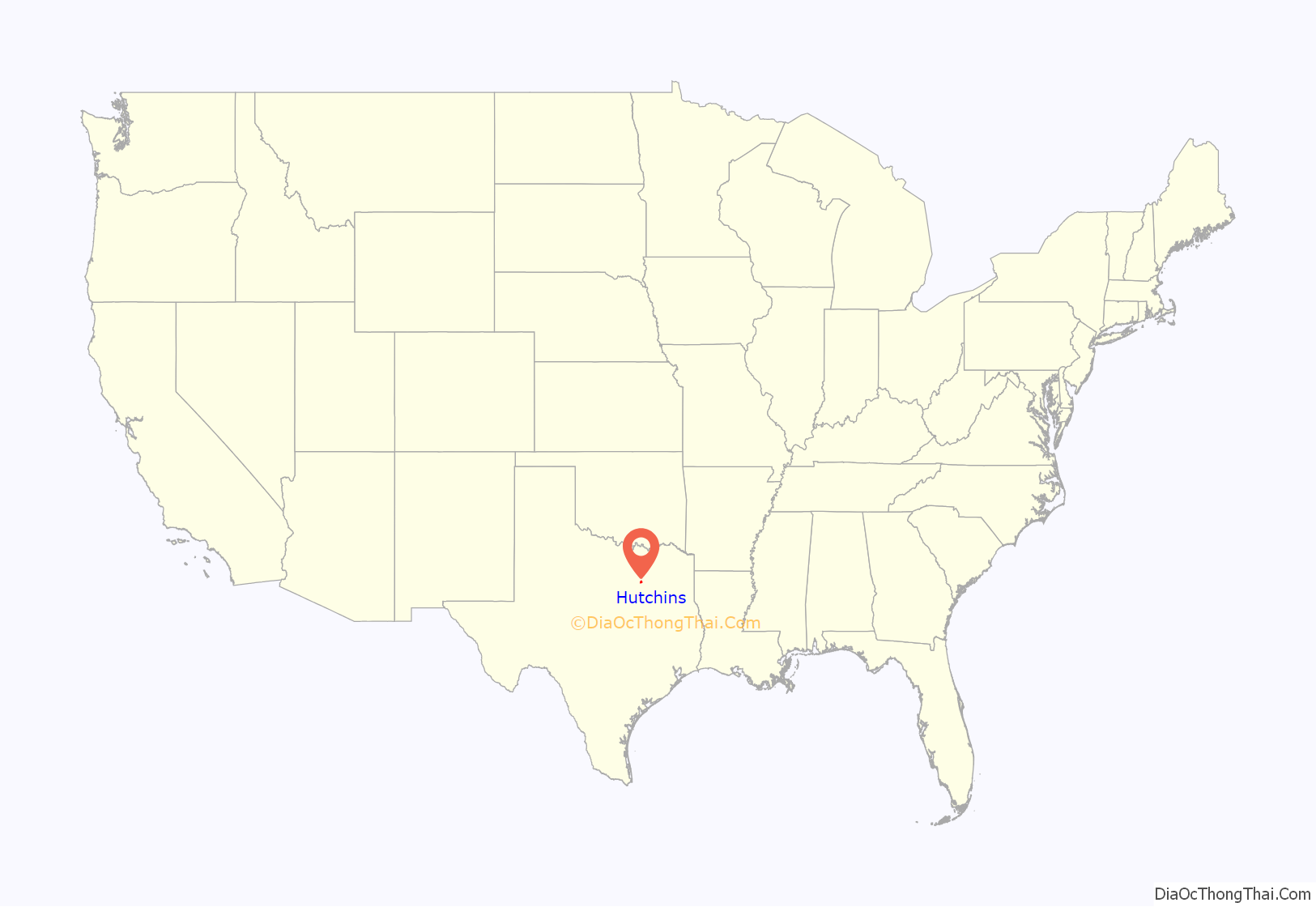
Hutchins location map. Where is Hutchins city?

History
The area was first inhabited by families around 1860 as a trading place for immigrants who settled along the west bank of the Trinity River and new arrivals who crossed the Trinity at Dowd’s Ferry from the east.
The town received its name from railroad developer William J. Hutchins, who was then president and general manager of the Houston and Texas Central Railroad (H&TC). The railway was completed through Hutchins in 1872. That same year a post office opened in the community. The population of Hutchins grew to around 250 residents in 1884 and topped 300 by 1890. That figure declined slightly to 204 in 1904, but had risen to 500 in 1926.
Hutchins was officially incorporated in 1945. In the first census conducted after incorporation in 1950, the population stood at 743. Despite the rapid growth of Dallas County and most of its suburban communities during the latter half of the 20th century, Hutchins has grown at a much slower pace and today is one of the smallest municipalities in the county. As of 2000, the city of Hutchins had 133 businesses and a population of 2,805. Many of the businesses in the city are industrial or manufacturing related. A number of its residents are employed in the city of Dallas.
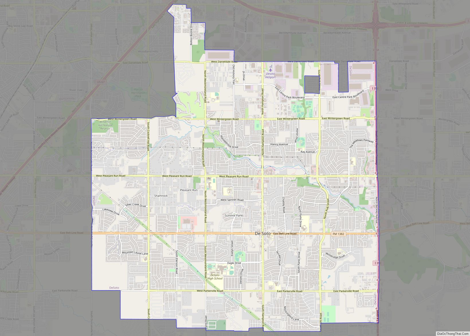
Hutchins Road Map

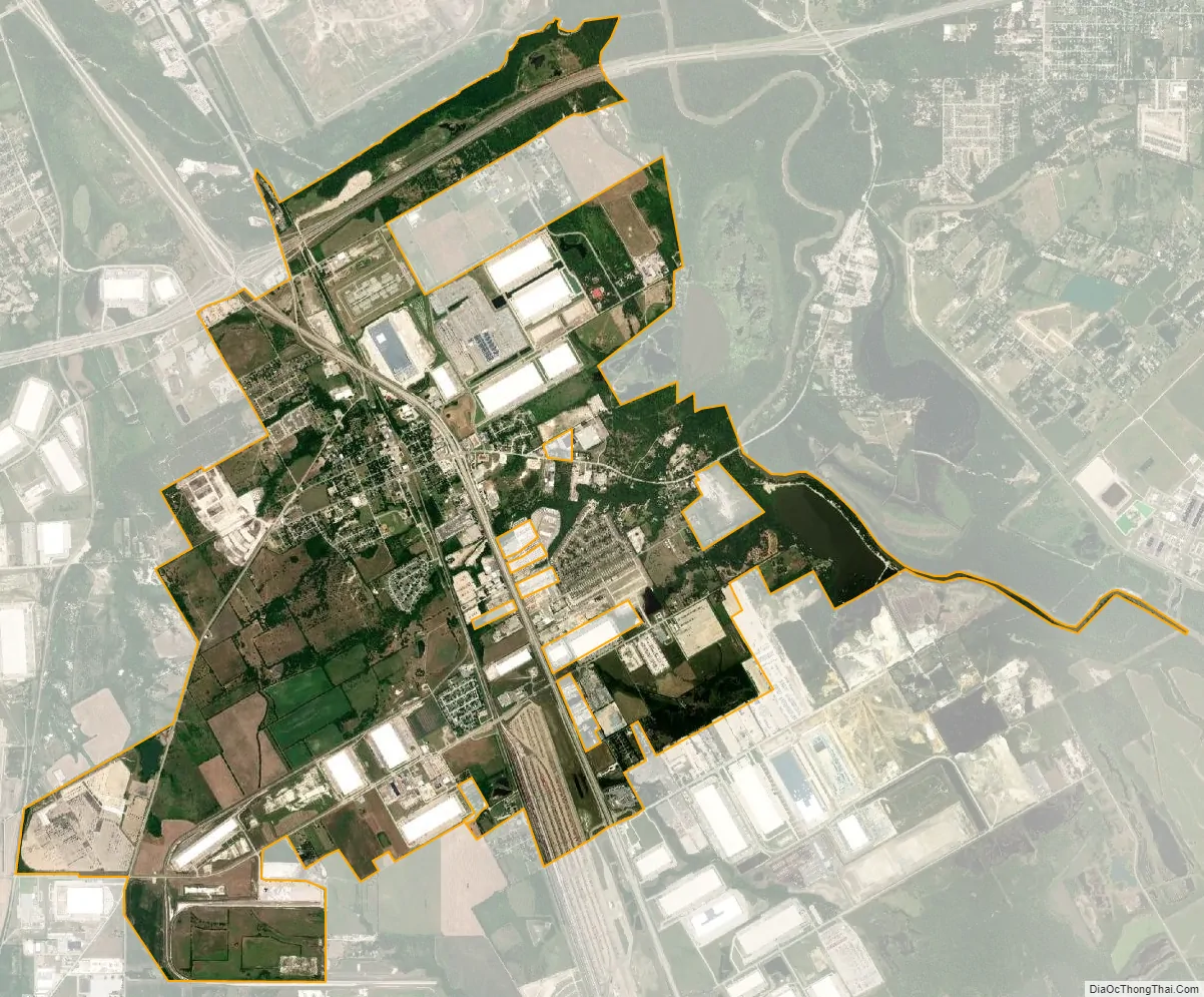
Hutchins city Satellite Map
Geography
Hutchins is located at 32°38′38″N 96°42′27″W / 32.64389°N 96.70750°W / 32.64389; -96.70750 (32.643784, –96.707538), about 9 miles (14 km) south of downtown Dallas. It is bordered by Dallas on the north and northwest, Lancaster on the southwest, Wilmer to the south, and the Trinity River to the east. Interstate Highways 20 and 45 pass through the city.
According to the United States Census Bureau, the city has a total area of 9.3 square miles (24.1 km), of which 0.23 square miles (0.6 km), or 2.35%, is covered by water.
Thomas Korosec of the Dallas Observer wrote that the main street of Hutchins had “a faded, smalltown feel” due to the shops along it.
See also
Map of Texas State and its subdivision:- Anderson
- Andrews
- Angelina
- Aransas
- Archer
- Armstrong
- Atascosa
- Austin
- Bailey
- Bandera
- Bastrop
- Baylor
- Bee
- Bell
- Bexar
- Blanco
- Borden
- Bosque
- Bowie
- Brazoria
- Brazos
- Brewster
- Briscoe
- Brooks
- Brown
- Burleson
- Burnet
- Caldwell
- Calhoun
- Callahan
- Cameron
- Camp
- Carson
- Cass
- Castro
- Chambers
- Cherokee
- Childress
- Clay
- Cochran
- Coke
- Coleman
- Collin
- Collingsworth
- Colorado
- Comal
- Comanche
- Concho
- Cooke
- Coryell
- Cottle
- Crane
- Crockett
- Crosby
- Culberson
- Dallam
- Dallas
- Dawson
- Deaf Smith
- Delta
- Denton
- Dewitt
- Dickens
- Dimmit
- Donley
- Duval
- Eastland
- Ector
- Edwards
- El Paso
- Ellis
- Erath
- Falls
- Fannin
- Fayette
- Fisher
- Floyd
- Foard
- Fort Bend
- Franklin
- Freestone
- Frio
- Gaines
- Galveston
- Garza
- Gillespie
- Glasscock
- Goliad
- Gonzales
- Gray
- Grayson
- Gregg
- Grimes
- Guadalupe
- Hale
- Hall
- Hamilton
- Hansford
- Hardeman
- Hardin
- Harris
- Harrison
- Hartley
- Haskell
- Hays
- Hemphill
- Henderson
- Hidalgo
- Hill
- Hockley
- Hood
- Hopkins
- Houston
- Howard
- Hudspeth
- Hunt
- Hutchinson
- Irion
- Jack
- Jackson
- Jasper
- Jeff Davis
- Jefferson
- Jim Hogg
- Jim Wells
- Johnson
- Jones
- Karnes
- Kaufman
- Kendall
- Kenedy
- Kent
- Kerr
- Kimble
- King
- Kinney
- Kleberg
- Knox
- La Salle
- Lamar
- Lamb
- Lampasas
- Lavaca
- Lee
- Leon
- Liberty
- Limestone
- Lipscomb
- Live Oak
- Llano
- Loving
- Lubbock
- Lynn
- Madison
- Marion
- Martin
- Mason
- Matagorda
- Maverick
- McCulloch
- McLennan
- McMullen
- Medina
- Menard
- Midland
- Milam
- Mills
- Mitchell
- Montague
- Montgomery
- Moore
- Morris
- Motley
- Nacogdoches
- Navarro
- Newton
- Nolan
- Nueces
- Ochiltree
- Oldham
- Orange
- Palo Pinto
- Panola
- Parker
- Parmer
- Pecos
- Polk
- Potter
- Presidio
- Rains
- Randall
- Reagan
- Real
- Red River
- Reeves
- Refugio
- Roberts
- Robertson
- Rockwall
- Runnels
- Rusk
- Sabine
- San Augustine
- San Jacinto
- San Patricio
- San Saba
- Schleicher
- Scurry
- Shackelford
- Shelby
- Sherman
- Smith
- Somervell
- Starr
- Stephens
- Sterling
- Stonewall
- Sutton
- Swisher
- Tarrant
- Taylor
- Terrell
- Terry
- Throckmorton
- Titus
- Tom Green
- Travis
- Trinity
- Tyler
- Upshur
- Upton
- Uvalde
- Val Verde
- Van Zandt
- Victoria
- Walker
- Waller
- Ward
- Washington
- Webb
- Wharton
- Wheeler
- Wichita
- Wilbarger
- Willacy
- Williamson
- Wilson
- Winkler
- Wise
- Wood
- Yoakum
- Young
- Zapata
- Zavala
- Alabama
- Alaska
- Arizona
- Arkansas
- California
- Colorado
- Connecticut
- Delaware
- District of Columbia
- Florida
- Georgia
- Hawaii
- Idaho
- Illinois
- Indiana
- Iowa
- Kansas
- Kentucky
- Louisiana
- Maine
- Maryland
- Massachusetts
- Michigan
- Minnesota
- Mississippi
- Missouri
- Montana
- Nebraska
- Nevada
- New Hampshire
- New Jersey
- New Mexico
- New York
- North Carolina
- North Dakota
- Ohio
- Oklahoma
- Oregon
- Pennsylvania
- Rhode Island
- South Carolina
- South Dakota
- Tennessee
- Texas
- Utah
- Vermont
- Virginia
- Washington
- West Virginia
- Wisconsin
- Wyoming