Laguna Seca is a census-designated place (CDP) in Hidalgo County, Texas. The population was 266 at the 2010 United States Census. It is part of the McAllen–Edinburg–Mission Metropolitan Statistical Area.
| Name: | Laguna Seca CDP |
|---|---|
| LSAD Code: | 57 |
| LSAD Description: | CDP (suffix) |
| State: | Texas |
| County: | Hidalgo County |
| Elevation: | 105 ft (32 m) |
| Total Area: | 2.3 sq mi (5.8 km²) |
| Land Area: | 2.3 sq mi (5.8 km²) |
| Water Area: | 0.0 sq mi (0.0 km²) |
| Total Population: | 266 |
| Population Density: | 120/sq mi (46/km²) |
| FIPS code: | 4840320 |
| GNISfeature ID: | 1378550 |
Online Interactive Map
Click on ![]() to view map in "full screen" mode.
to view map in "full screen" mode.
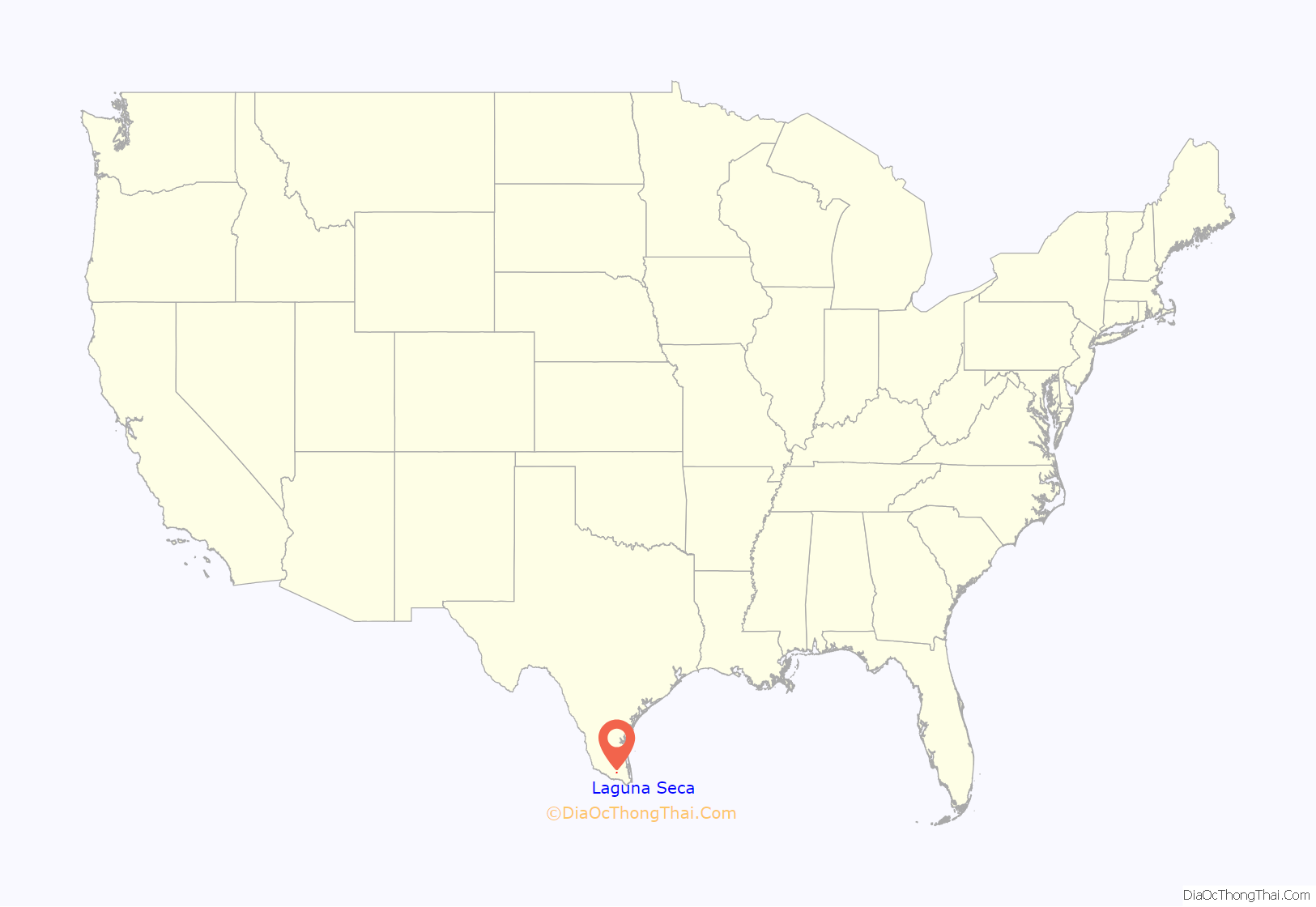
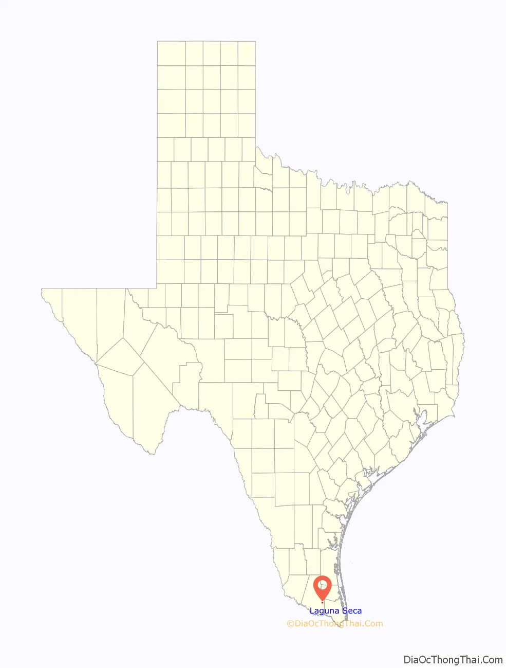
Laguna Seca location map. Where is Laguna Seca CDP?
History
The Laguna Seca Ranch was initially established in the year 1867 by Macedonio Vela Senior and his wife Mercedes Chapa Cantu. Approximately ten years earlier, Macedonio Vela Senior fled from Mexico to escape the wave of executions associated with the War of Reform. In 1867 he purchased one square league (4,428 acres (18 km)) of the Santa Anita Land Grant from John and Salome Balli McAllen.
In the era spanning 1880 to 1890, he acquired more adjacent real estate holdings to yield a ranch over 75,000 acres (300 km) in extent; during this decade he grazed cattle, horses, and mules, and became an exporter of donkeys to Cuba. The first citrus trees in Hidalgo County were planted within the ranch property. Vela’s grandson, Reynaldo Vela, discovered an artesian well which supplies a lake of about 5 acres (20,000 m) in size, which lake was historically and inexplicably called Dry Lake. In the year 1975 a historical marker was placed at the ranch. In recent times family members manage the ranch holding, although it is subdivided into three tangent parcels.
In 1871, his daughter, Carlota, grew the first orange trees in Hidalgo County from the seeds of a fruit given her by a traveling priest. This is now an important citrus-producing area. The ranch had grown to 80,000 acres (320 km) when a school was built here in 1892. Delfina Post Office, named for another one of Vela’s daughters, was opened in 1893 and a Catholic church in 1894. Laguna Seca Ranch is still owned by the Vela family. (1975)[1] A historic cemetery exists on the ranch property.
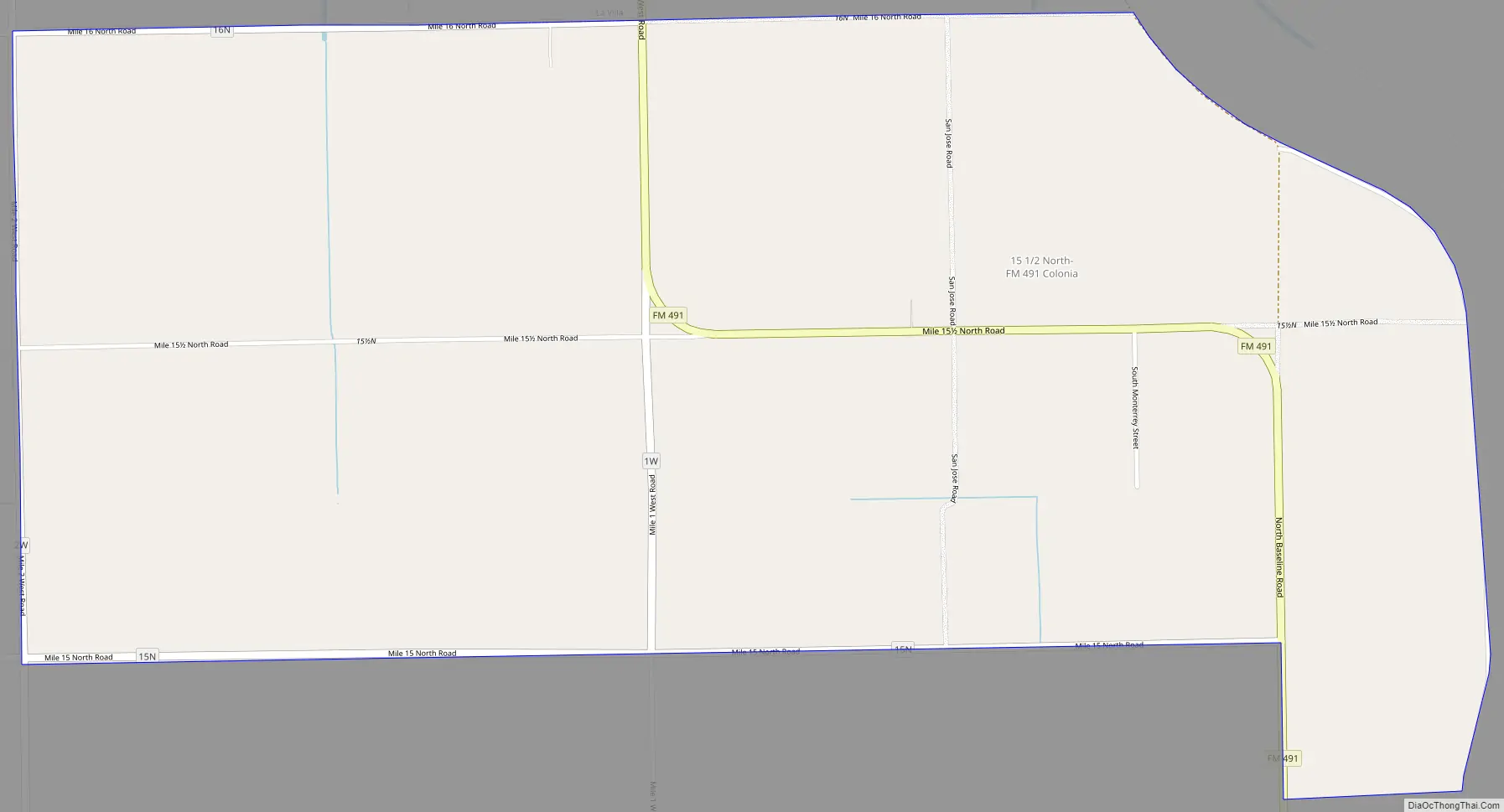
Laguna Seca Road Map
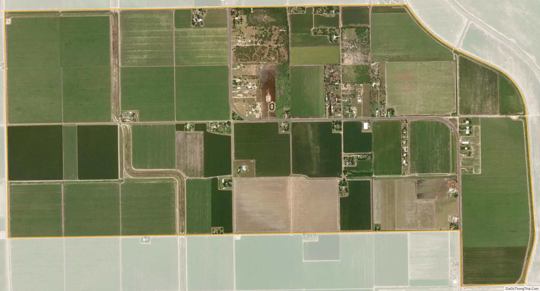
Laguna Seca city Satellite Map
Geography
Laguna Seca is located at 26°16′41″N 97°55′28″W / 26.27806°N 97.92444°W / 26.27806; -97.92444 (26.278125, -97.924395).
According to the United States Census Bureau, the CDP has a total area of 2.2 square miles (5.7 km), all land.
See also
Map of Texas State and its subdivision:- Anderson
- Andrews
- Angelina
- Aransas
- Archer
- Armstrong
- Atascosa
- Austin
- Bailey
- Bandera
- Bastrop
- Baylor
- Bee
- Bell
- Bexar
- Blanco
- Borden
- Bosque
- Bowie
- Brazoria
- Brazos
- Brewster
- Briscoe
- Brooks
- Brown
- Burleson
- Burnet
- Caldwell
- Calhoun
- Callahan
- Cameron
- Camp
- Carson
- Cass
- Castro
- Chambers
- Cherokee
- Childress
- Clay
- Cochran
- Coke
- Coleman
- Collin
- Collingsworth
- Colorado
- Comal
- Comanche
- Concho
- Cooke
- Coryell
- Cottle
- Crane
- Crockett
- Crosby
- Culberson
- Dallam
- Dallas
- Dawson
- Deaf Smith
- Delta
- Denton
- Dewitt
- Dickens
- Dimmit
- Donley
- Duval
- Eastland
- Ector
- Edwards
- El Paso
- Ellis
- Erath
- Falls
- Fannin
- Fayette
- Fisher
- Floyd
- Foard
- Fort Bend
- Franklin
- Freestone
- Frio
- Gaines
- Galveston
- Garza
- Gillespie
- Glasscock
- Goliad
- Gonzales
- Gray
- Grayson
- Gregg
- Grimes
- Guadalupe
- Hale
- Hall
- Hamilton
- Hansford
- Hardeman
- Hardin
- Harris
- Harrison
- Hartley
- Haskell
- Hays
- Hemphill
- Henderson
- Hidalgo
- Hill
- Hockley
- Hood
- Hopkins
- Houston
- Howard
- Hudspeth
- Hunt
- Hutchinson
- Irion
- Jack
- Jackson
- Jasper
- Jeff Davis
- Jefferson
- Jim Hogg
- Jim Wells
- Johnson
- Jones
- Karnes
- Kaufman
- Kendall
- Kenedy
- Kent
- Kerr
- Kimble
- King
- Kinney
- Kleberg
- Knox
- La Salle
- Lamar
- Lamb
- Lampasas
- Lavaca
- Lee
- Leon
- Liberty
- Limestone
- Lipscomb
- Live Oak
- Llano
- Loving
- Lubbock
- Lynn
- Madison
- Marion
- Martin
- Mason
- Matagorda
- Maverick
- McCulloch
- McLennan
- McMullen
- Medina
- Menard
- Midland
- Milam
- Mills
- Mitchell
- Montague
- Montgomery
- Moore
- Morris
- Motley
- Nacogdoches
- Navarro
- Newton
- Nolan
- Nueces
- Ochiltree
- Oldham
- Orange
- Palo Pinto
- Panola
- Parker
- Parmer
- Pecos
- Polk
- Potter
- Presidio
- Rains
- Randall
- Reagan
- Real
- Red River
- Reeves
- Refugio
- Roberts
- Robertson
- Rockwall
- Runnels
- Rusk
- Sabine
- San Augustine
- San Jacinto
- San Patricio
- San Saba
- Schleicher
- Scurry
- Shackelford
- Shelby
- Sherman
- Smith
- Somervell
- Starr
- Stephens
- Sterling
- Stonewall
- Sutton
- Swisher
- Tarrant
- Taylor
- Terrell
- Terry
- Throckmorton
- Titus
- Tom Green
- Travis
- Trinity
- Tyler
- Upshur
- Upton
- Uvalde
- Val Verde
- Van Zandt
- Victoria
- Walker
- Waller
- Ward
- Washington
- Webb
- Wharton
- Wheeler
- Wichita
- Wilbarger
- Willacy
- Williamson
- Wilson
- Winkler
- Wise
- Wood
- Yoakum
- Young
- Zapata
- Zavala
- Alabama
- Alaska
- Arizona
- Arkansas
- California
- Colorado
- Connecticut
- Delaware
- District of Columbia
- Florida
- Georgia
- Hawaii
- Idaho
- Illinois
- Indiana
- Iowa
- Kansas
- Kentucky
- Louisiana
- Maine
- Maryland
- Massachusetts
- Michigan
- Minnesota
- Mississippi
- Missouri
- Montana
- Nebraska
- Nevada
- New Hampshire
- New Jersey
- New Mexico
- New York
- North Carolina
- North Dakota
- Ohio
- Oklahoma
- Oregon
- Pennsylvania
- Rhode Island
- South Carolina
- South Dakota
- Tennessee
- Texas
- Utah
- Vermont
- Virginia
- Washington
- West Virginia
- Wisconsin
- Wyoming


