Montgomery is a city located in Montgomery County, Texas. As of the 2020 census, the city had a total population of 1,948.
| Name: | Montgomery city |
|---|---|
| LSAD Code: | 25 |
| LSAD Description: | city (suffix) |
| State: | Texas |
| County: | Montgomery County |
| Incorporated: | February 26, 1848 |
| Elevation: | 295 ft (90 m) |
| Total Area: | 5.12 sq mi (13.26 km²) |
| Land Area: | 5.04 sq mi (13.05 km²) |
| Water Area: | 0.08 sq mi (0.20 km²) |
| Total Population: | 1,948 |
| Population Density: | 269.89/sq mi (104.20/km²) |
| ZIP code: | 77316, 77356 |
| Area code: | 936 |
| FIPS code: | 4849128 |
| GNISfeature ID: | 1382317 |
| Website: | www.montgomerytexas.gov |
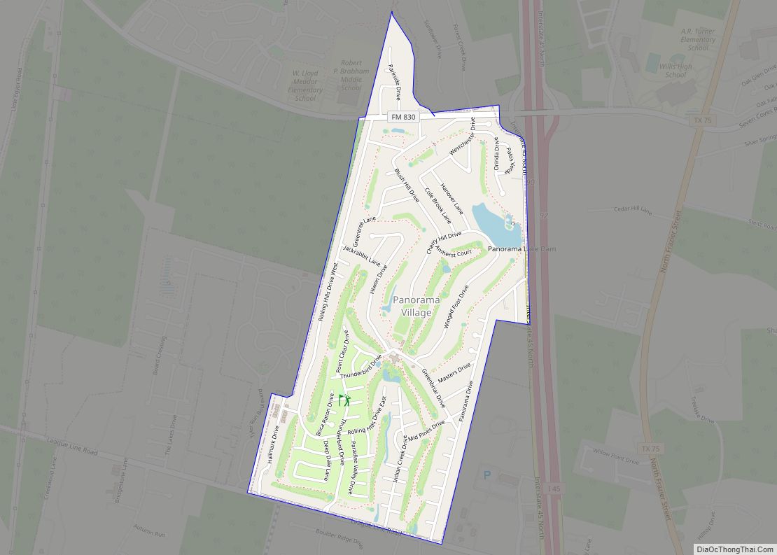
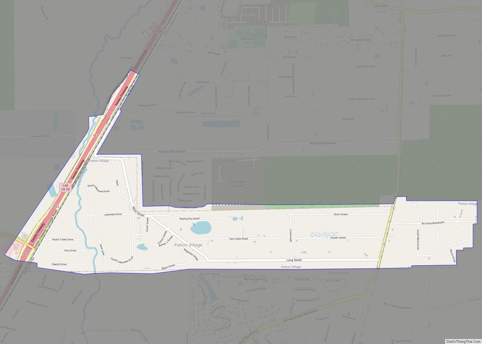
Online Interactive Map
Click on ![]() to view map in "full screen" mode.
to view map in "full screen" mode.
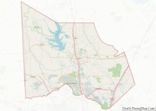
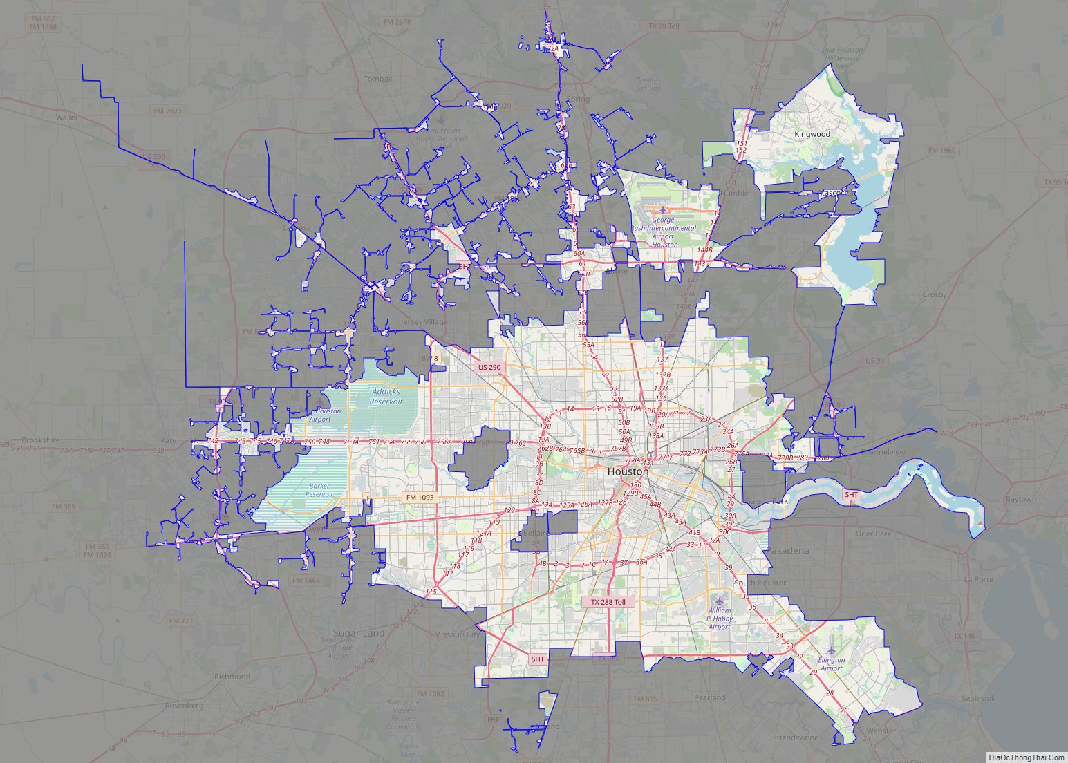
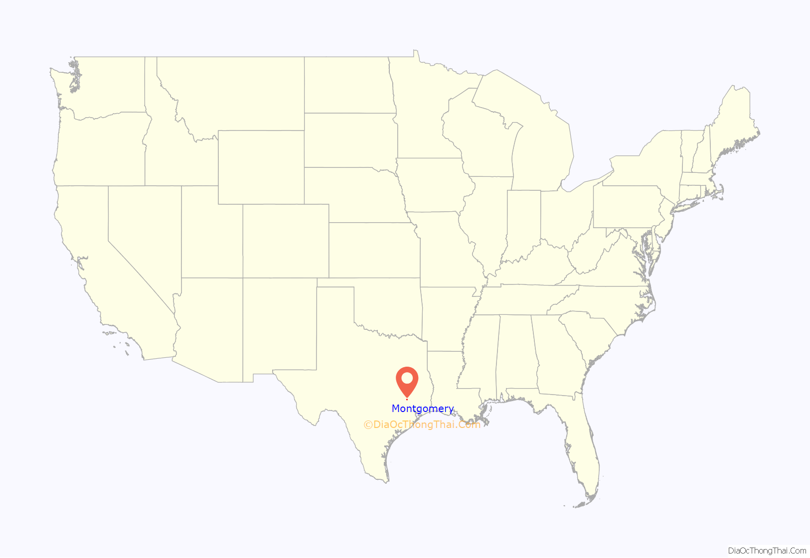
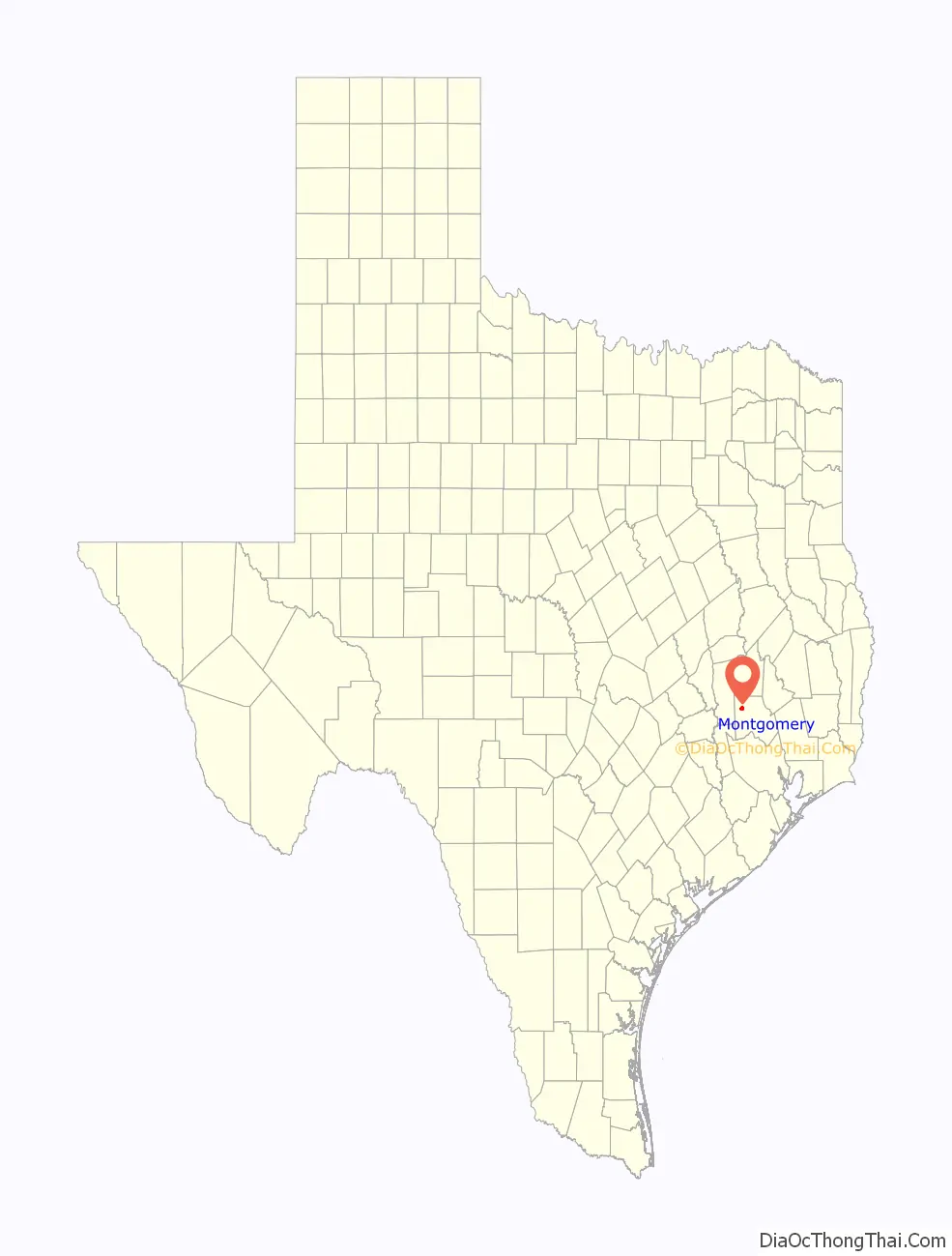
Montgomery location map. Where is Montgomery city?
History
The town of Montgomery was founded in the middle of the Lake Creek Settlement by W. W. Shepperd in July 1837 on 200 acres of land that had originally been part of the John Corner League. Shepperd had established the first store in the Lake Creek Settlement in 1835. W. W. Shepperd and his partner John Wyatt Moody named the town Montgomery.
Montgomery became the first county seat of Montgomery County shortly after the county was created on December 14, 1837. Montgomery County was the third county formed during the Republic of Texas. The county originally extended from the Brazos River to the Trinity. The city was officially incorporated in 1848 with Judge Nathaniel Hart Davis as mayor.
Origins of the city’s name
Local histories and accounts by 20th century historians held that the city and county of Montgomery were named after a family of early settlers to the area: Andrew Montgomery or Owen and Margaret Montgomery Shannon. However, recent evidence provided by Kameron Searle suggests that it is more likely that the town and county were named after Lemuel P. Montgomery, a major in the U.S. Army during the Creek War. John Wyatt Moody, one of the founders of Montgomery, was County Clerk of Montgomery County, Alabama before moving to Texas. Montgomery County, Alabama, is named for Lemuel P. Montgomery. Sam Houston, the President of the Republic of Texas when the town and county of Montgomery were founded, served in the Battle of Horseshoe Bend with Lemuel P. Montgomery, and witnessed his death in the front lines of the battle. According to Searle, Moody and his partner W.W. Shepperd may have used Houston’s connection with Lemuel Montgomery to help promote the creation of Montgomery County, with the town of Montgomery as the county seat.
Birthplace of the Lone Star Flag?
On July 7, 1922, Edmund B. Stewart, son of the early Montgomery settler Charles B. Stewart, claimed in a letter that his father had drafted the original design of the Lone Star Flag, enclosing what he claimed was his father’s draft of the flag’s design. To date, this letter and draft copy, along with claims by Stewart’s descendants, remain the only evidence currently known that Charles Stewart was the designer of the flag. In particular, the lack of evidence not directly tied to the Stewart family has caused many flag historians to question Stewart’s claim. As a legacy of the Stewart claim, the city of Montgomery describes itself as the “birthplace of the Texas Lone Star Flag.”
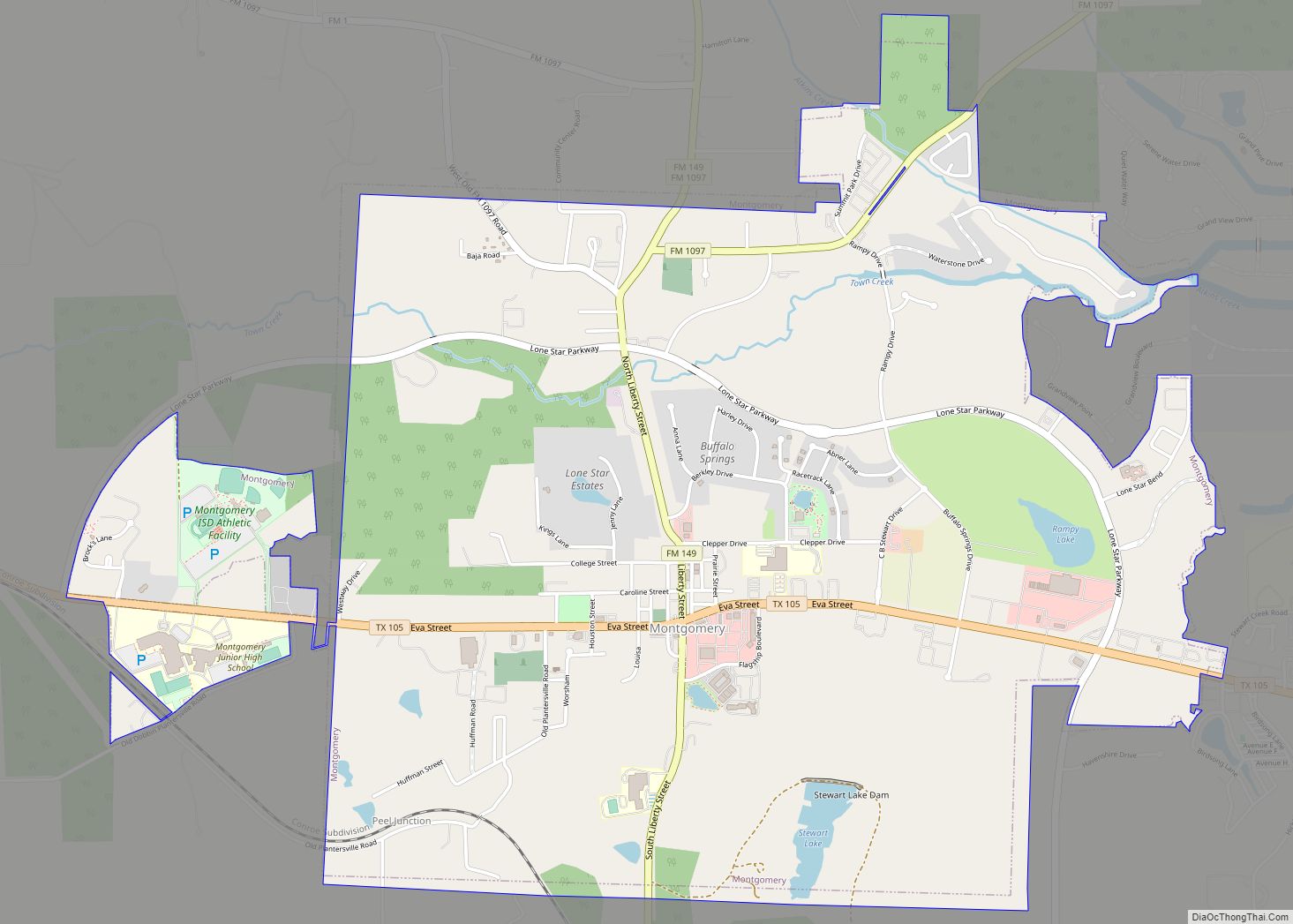
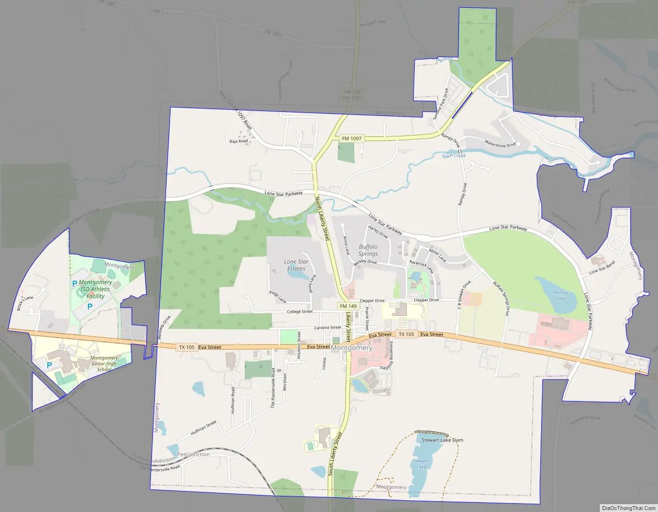
Montgomery Road Map
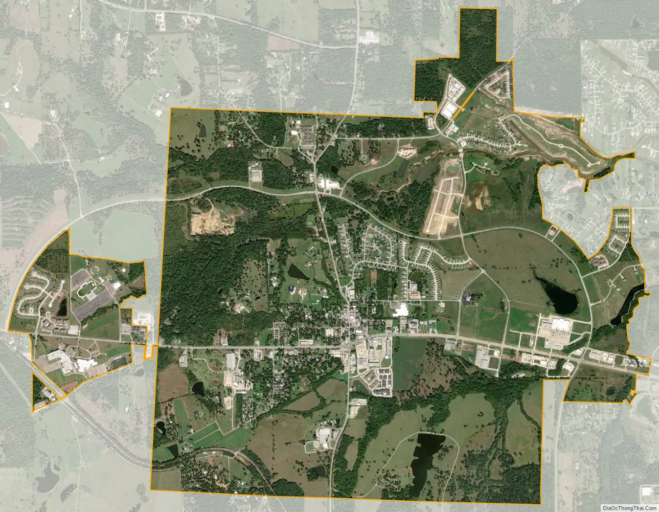
Montgomery city Satellite Map
Geography
Montgomery is located at 30°23’22” North, 95°41’53” West (30.389406, –95.698089).
According to the United States Census Bureau, the city has a total area of 4.6 square miles (12 km). 4.5 square miles (12 km) of it is land and 0.1 square miles (0.26 km) of it is water. The total area is 1.31% water.
See also
Map of Texas State and its subdivision:- Anderson
- Andrews
- Angelina
- Aransas
- Archer
- Armstrong
- Atascosa
- Austin
- Bailey
- Bandera
- Bastrop
- Baylor
- Bee
- Bell
- Bexar
- Blanco
- Borden
- Bosque
- Bowie
- Brazoria
- Brazos
- Brewster
- Briscoe
- Brooks
- Brown
- Burleson
- Burnet
- Caldwell
- Calhoun
- Callahan
- Cameron
- Camp
- Carson
- Cass
- Castro
- Chambers
- Cherokee
- Childress
- Clay
- Cochran
- Coke
- Coleman
- Collin
- Collingsworth
- Colorado
- Comal
- Comanche
- Concho
- Cooke
- Coryell
- Cottle
- Crane
- Crockett
- Crosby
- Culberson
- Dallam
- Dallas
- Dawson
- Deaf Smith
- Delta
- Denton
- Dewitt
- Dickens
- Dimmit
- Donley
- Duval
- Eastland
- Ector
- Edwards
- El Paso
- Ellis
- Erath
- Falls
- Fannin
- Fayette
- Fisher
- Floyd
- Foard
- Fort Bend
- Franklin
- Freestone
- Frio
- Gaines
- Galveston
- Garza
- Gillespie
- Glasscock
- Goliad
- Gonzales
- Gray
- Grayson
- Gregg
- Grimes
- Guadalupe
- Hale
- Hall
- Hamilton
- Hansford
- Hardeman
- Hardin
- Harris
- Harrison
- Hartley
- Haskell
- Hays
- Hemphill
- Henderson
- Hidalgo
- Hill
- Hockley
- Hood
- Hopkins
- Houston
- Howard
- Hudspeth
- Hunt
- Hutchinson
- Irion
- Jack
- Jackson
- Jasper
- Jeff Davis
- Jefferson
- Jim Hogg
- Jim Wells
- Johnson
- Jones
- Karnes
- Kaufman
- Kendall
- Kenedy
- Kent
- Kerr
- Kimble
- King
- Kinney
- Kleberg
- Knox
- La Salle
- Lamar
- Lamb
- Lampasas
- Lavaca
- Lee
- Leon
- Liberty
- Limestone
- Lipscomb
- Live Oak
- Llano
- Loving
- Lubbock
- Lynn
- Madison
- Marion
- Martin
- Mason
- Matagorda
- Maverick
- McCulloch
- McLennan
- McMullen
- Medina
- Menard
- Midland
- Milam
- Mills
- Mitchell
- Montague
- Montgomery
- Moore
- Morris
- Motley
- Nacogdoches
- Navarro
- Newton
- Nolan
- Nueces
- Ochiltree
- Oldham
- Orange
- Palo Pinto
- Panola
- Parker
- Parmer
- Pecos
- Polk
- Potter
- Presidio
- Rains
- Randall
- Reagan
- Real
- Red River
- Reeves
- Refugio
- Roberts
- Robertson
- Rockwall
- Runnels
- Rusk
- Sabine
- San Augustine
- San Jacinto
- San Patricio
- San Saba
- Schleicher
- Scurry
- Shackelford
- Shelby
- Sherman
- Smith
- Somervell
- Starr
- Stephens
- Sterling
- Stonewall
- Sutton
- Swisher
- Tarrant
- Taylor
- Terrell
- Terry
- Throckmorton
- Titus
- Tom Green
- Travis
- Trinity
- Tyler
- Upshur
- Upton
- Uvalde
- Val Verde
- Van Zandt
- Victoria
- Walker
- Waller
- Ward
- Washington
- Webb
- Wharton
- Wheeler
- Wichita
- Wilbarger
- Willacy
- Williamson
- Wilson
- Winkler
- Wise
- Wood
- Yoakum
- Young
- Zapata
- Zavala
- Alabama
- Alaska
- Arizona
- Arkansas
- California
- Colorado
- Connecticut
- Delaware
- District of Columbia
- Florida
- Georgia
- Hawaii
- Idaho
- Illinois
- Indiana
- Iowa
- Kansas
- Kentucky
- Louisiana
- Maine
- Maryland
- Massachusetts
- Michigan
- Minnesota
- Mississippi
- Missouri
- Montana
- Nebraska
- Nevada
- New Hampshire
- New Jersey
- New Mexico
- New York
- North Carolina
- North Dakota
- Ohio
- Oklahoma
- Oregon
- Pennsylvania
- Rhode Island
- South Carolina
- South Dakota
- Tennessee
- Texas
- Utah
- Vermont
- Virginia
- Washington
- West Virginia
- Wisconsin
- Wyoming