San Leon is a census-designated place (CDP) in Galveston County, Texas, United States. The population was 4,970 at the 2010 census.
| Name: | San Leon CDP |
|---|---|
| LSAD Code: | 57 |
| LSAD Description: | CDP (suffix) |
| State: | Texas |
| County: | Galveston County |
| Elevation: | 10 ft (3 m) |
| Total Area: | 5.2 sq mi (13.4 km²) |
| Land Area: | 4.9 sq mi (12.6 km²) |
| Water Area: | 0.3 sq mi (0.7 km²) |
| Total Population: | 4,970 |
| Population Density: | 960/sq mi (370/km²) |
| ZIP code: | 77539-2492 |
| Area code: | 281 |
| FIPS code: | 4865564 |
| GNISfeature ID: | 1346420 |
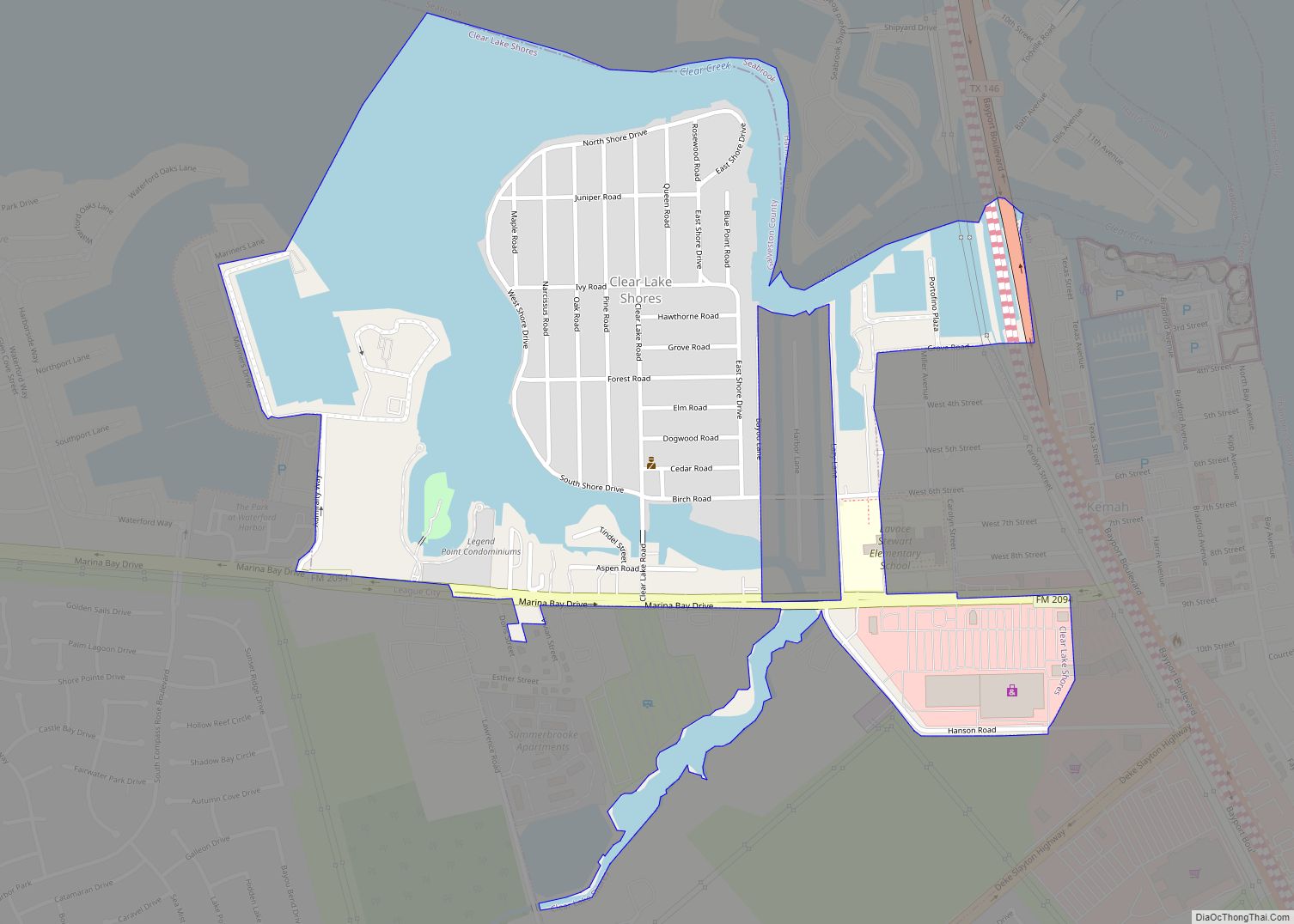
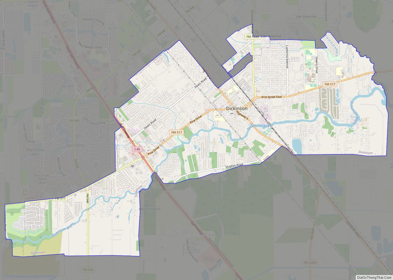
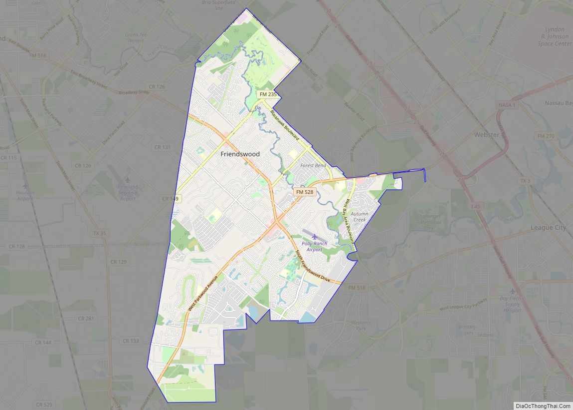
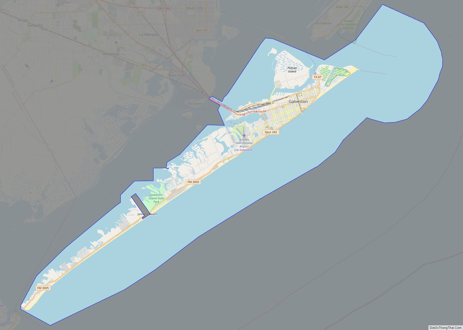
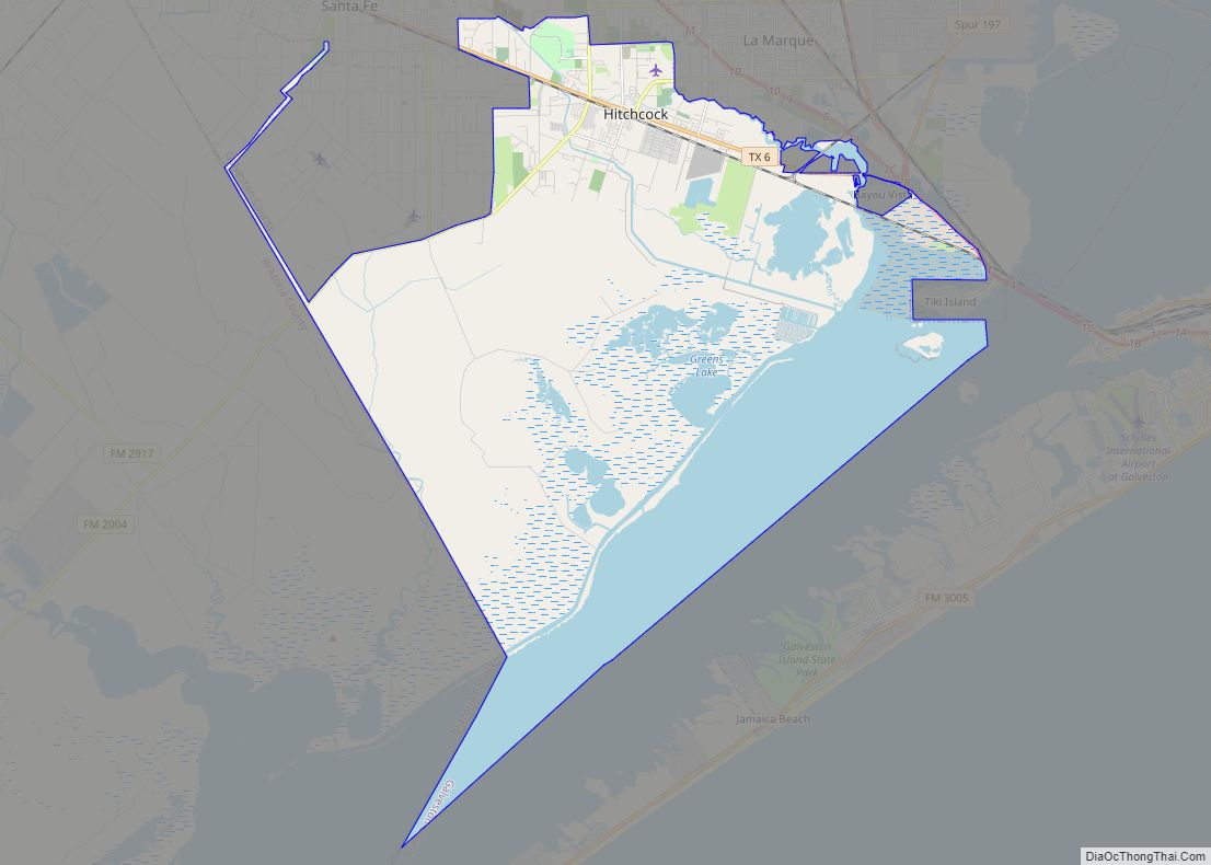
Online Interactive Map
Click on ![]() to view map in "full screen" mode.
to view map in "full screen" mode.
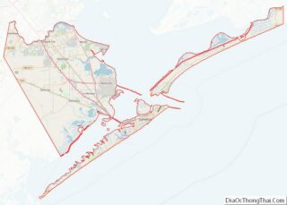
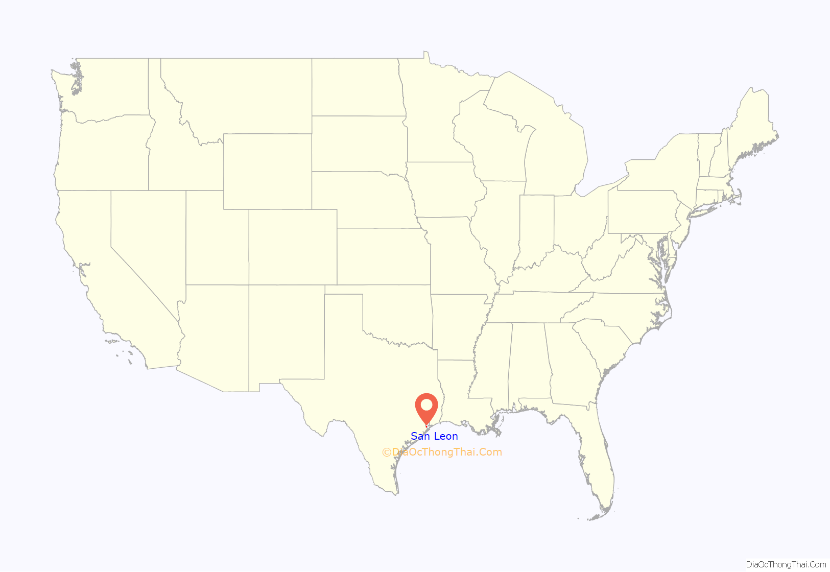
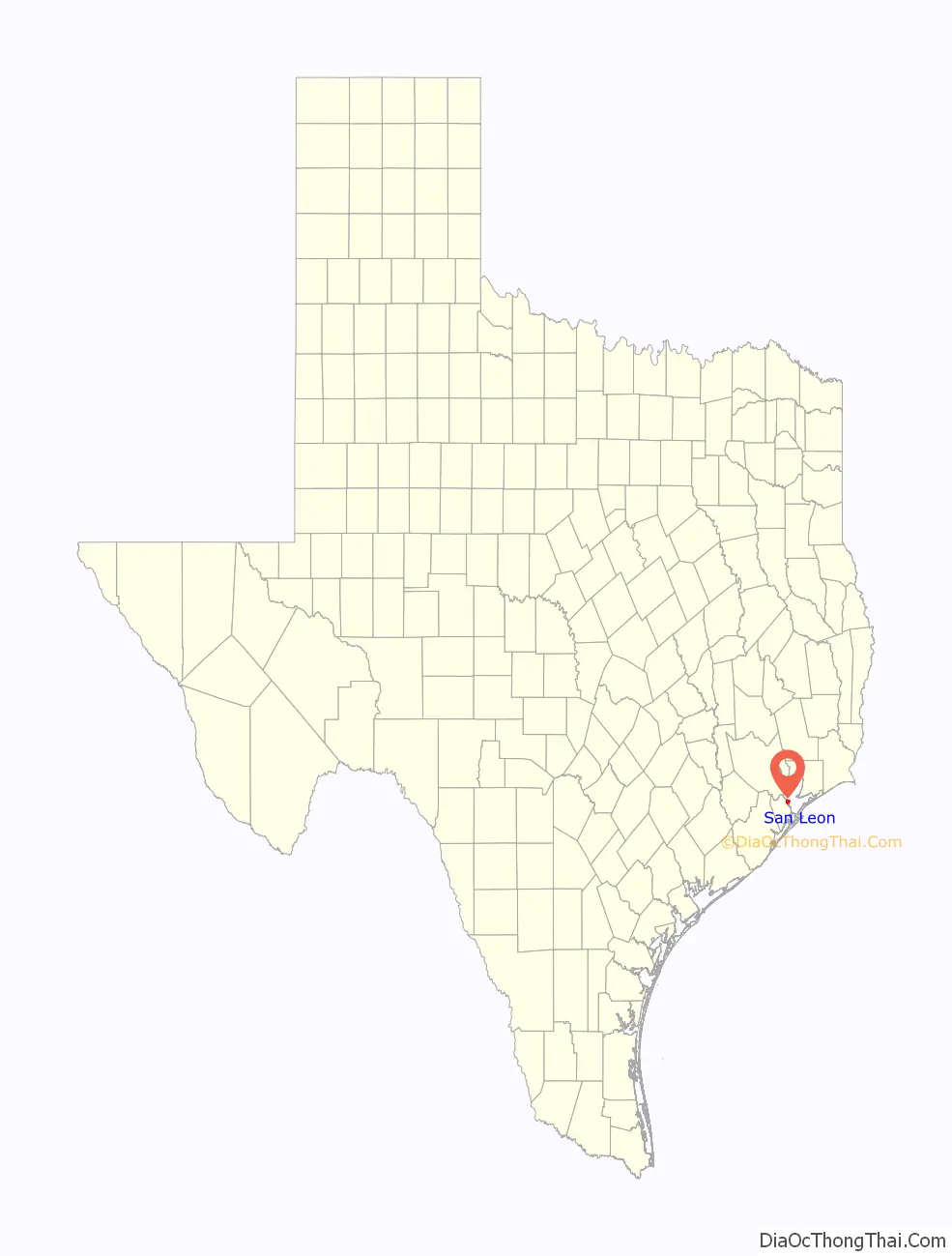
San Leon location map. Where is San Leon CDP?
History
During the early 19th century, the pirate Jean Lafitte, who ruled Galveston Island, established a stronghold at Eagle Point in modern San Leon. Eagle Point went on to become an important shipping and trading post for slaves. A community was established, known as Edward’s Point and later North Galveston. When the North Galveston, Houston, and Kansas City Railroad was built through the area in 1893, the town began to develop as a commercial center. However, following the hurricanes in 1900 and 1915, the town was devastated and never able to fully recover. Attempts were made in the early 20th century to establish a resort community in the area, but these efforts met with only modest success. Growth and development since this time have been relatively stagnant.
In April 1985, residents of San Leon, Bacliff and Bayview considered an incorporation proposal to become the City of Bayshore. Judge Ray Holbrook signed an order for the election to take place on April 6, 1985, freeing the area, which had a population of 11,000, from the extraterritorial jurisdiction of League City and Texas City. Residents rejected the incorporation proposal. The vote was tallied with 1,268 against and 399 in favor. Proponents wanted a local police force and the ability to pass ordinances. Opponents said that the tax base was too small to support municipal services including police and road and drainage improvements.
San Leon was not in a 1986 proposal to incorporate that included Bacliff and Bayview. Donna Maples, vice president of the Bacliff – Bayview Community Association, said that historically, San Leon had generated most of the opposition to incorporation proposals. She said, “In the past, San Leon has shown it is not interested in incorporation. So this time we decided not to include them. They don’t have as much in common as we do.”
On April 23, 1991, the community, and other areas of Galveston County, received an enhanced 9-1-1 system which routes calls to proper dispatchers and allows dispatchers to automatically view the address of the caller. On September 13, 2008, San Leon, TX received extensive damage from Hurricane Ike.
In 2000, there were 4,365 people organized into 1,815 households. That year, Bacliff and San Leon formed a nine-member board to prepare the communities for incorporation. At that time, Bacliff and San Leon had a combined population of 10,000. The board was to have three members from the Bacliff area, three members from the San Leon area, and three at-large members. It was prompted after the City of Texas City suddenly annexed several commercial parcels along Texas State Highway 146 between Kemah and Dickinson Bayou in 2000. The board hoped to convince Texas City to reverse the annexation.
In 2012, the P.H. Robinson electric generation plant formerly operated by Texas Genco, located in the area, was demolished.
On July 21, 2017, San Leon MUD (WCID) President Joe Manchaca announced at a public town hall meeting that a consensus poll would immediately commence at the WCID office, restricted to San Leon registered voters, to determine if an official and binding vote regarding San Leon incorporation would be taken. Manchaca stated that a simple majority would determine the outcome of the poll, which he suggested would be fast-tracked, running from July 25 thru August 15. The result of the poll was that a municipal corporation was overwhelmingly rejected by the citizens.
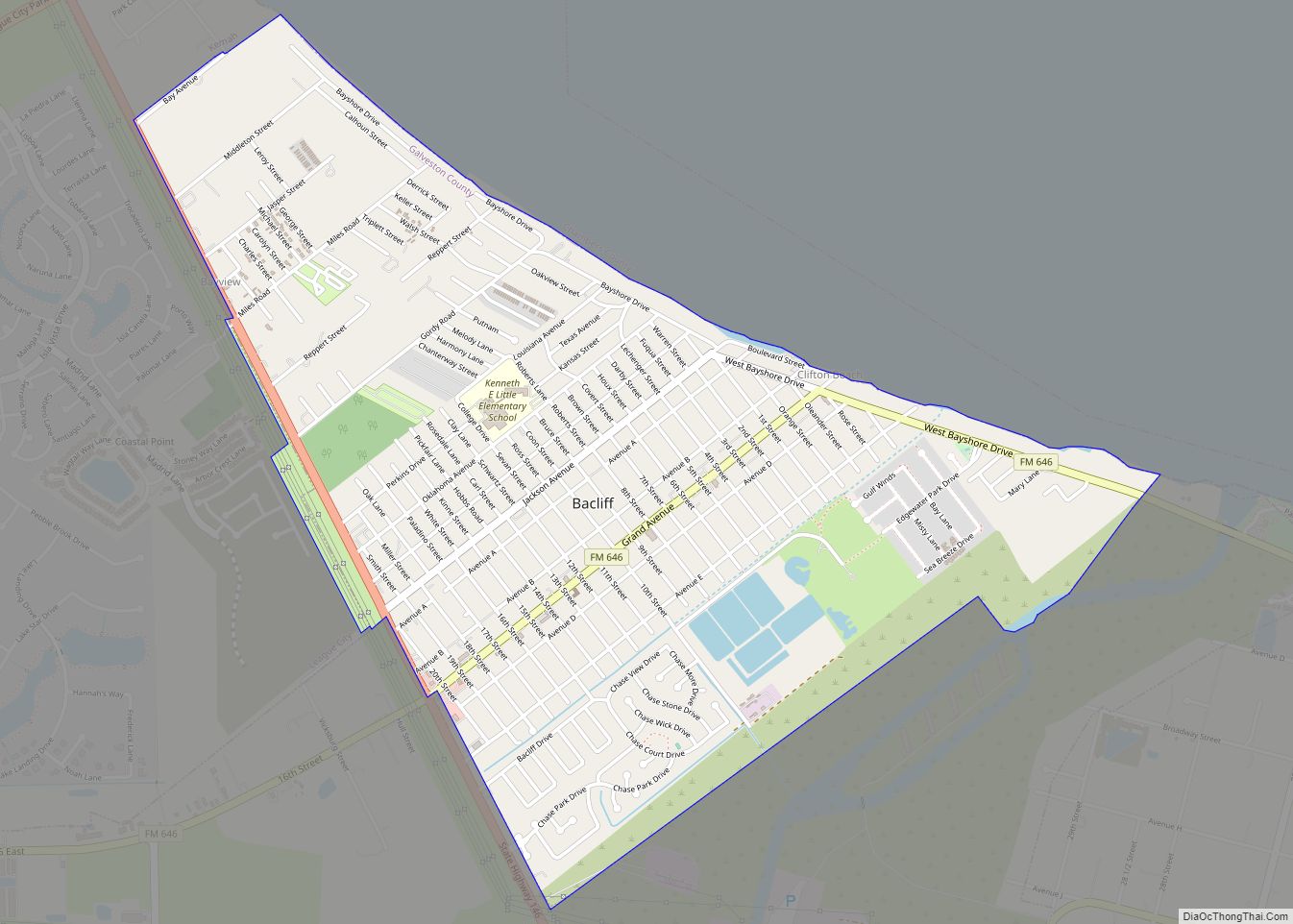
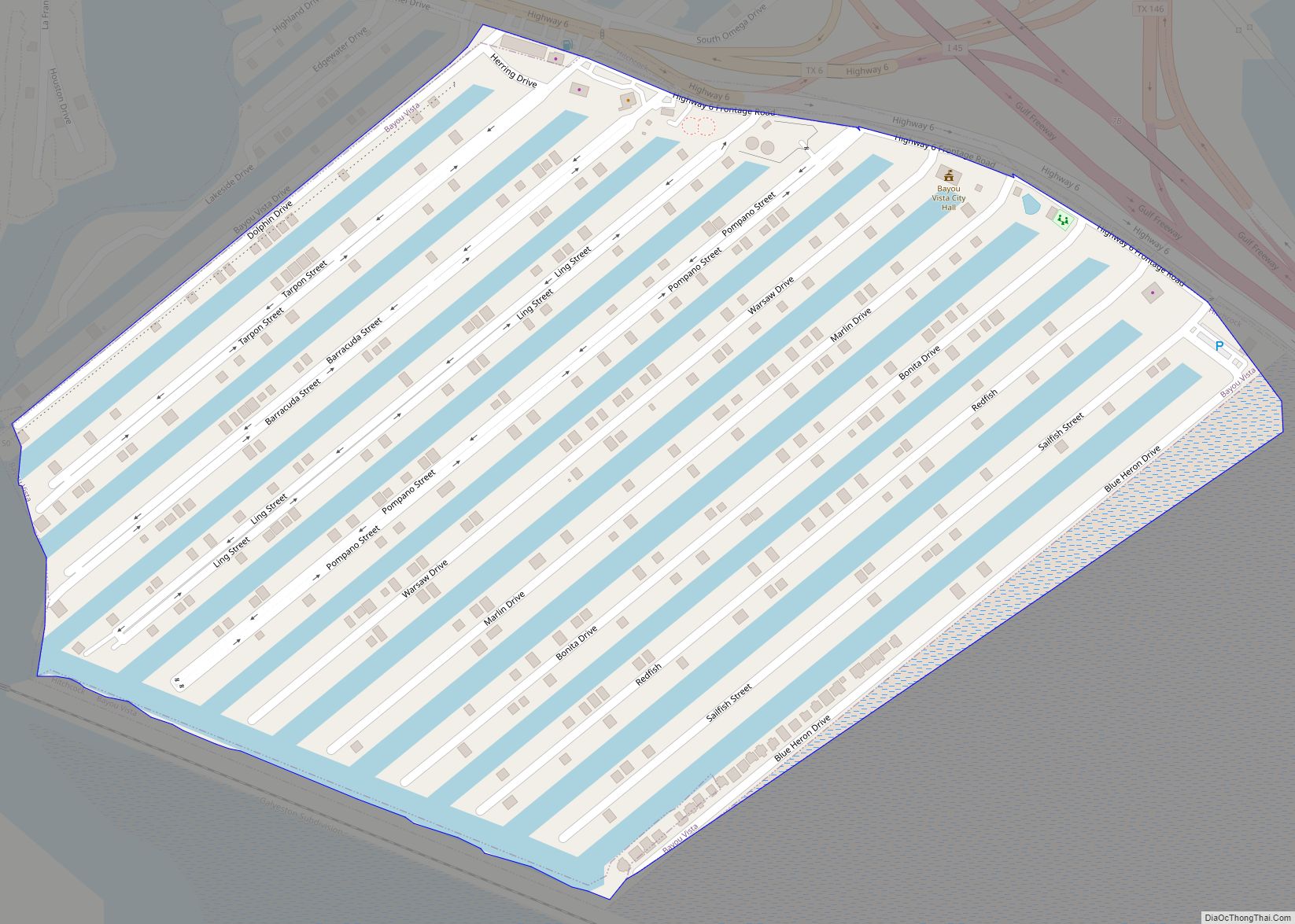
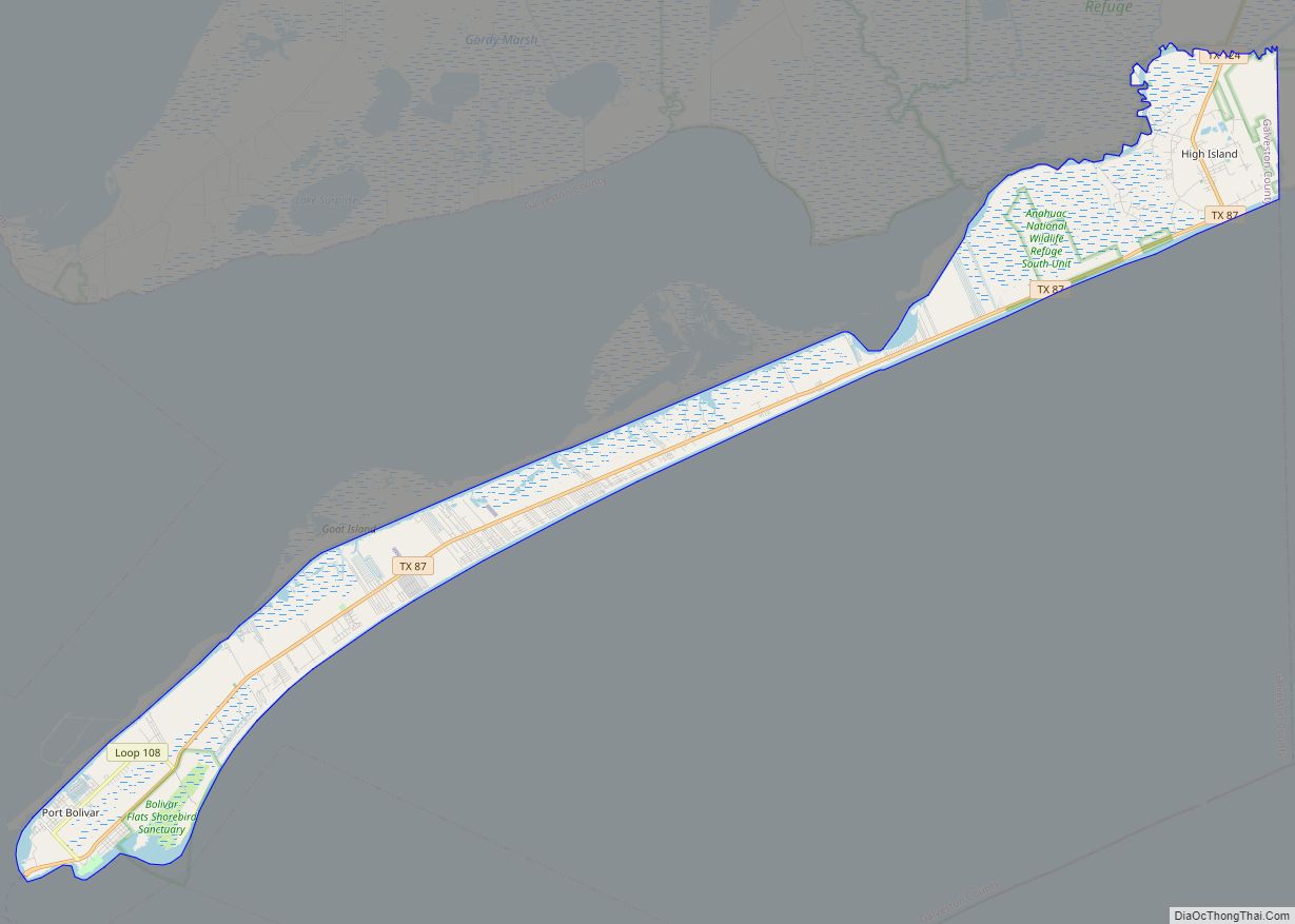
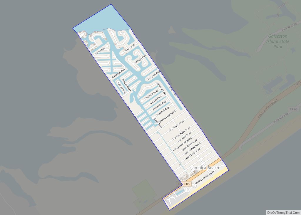
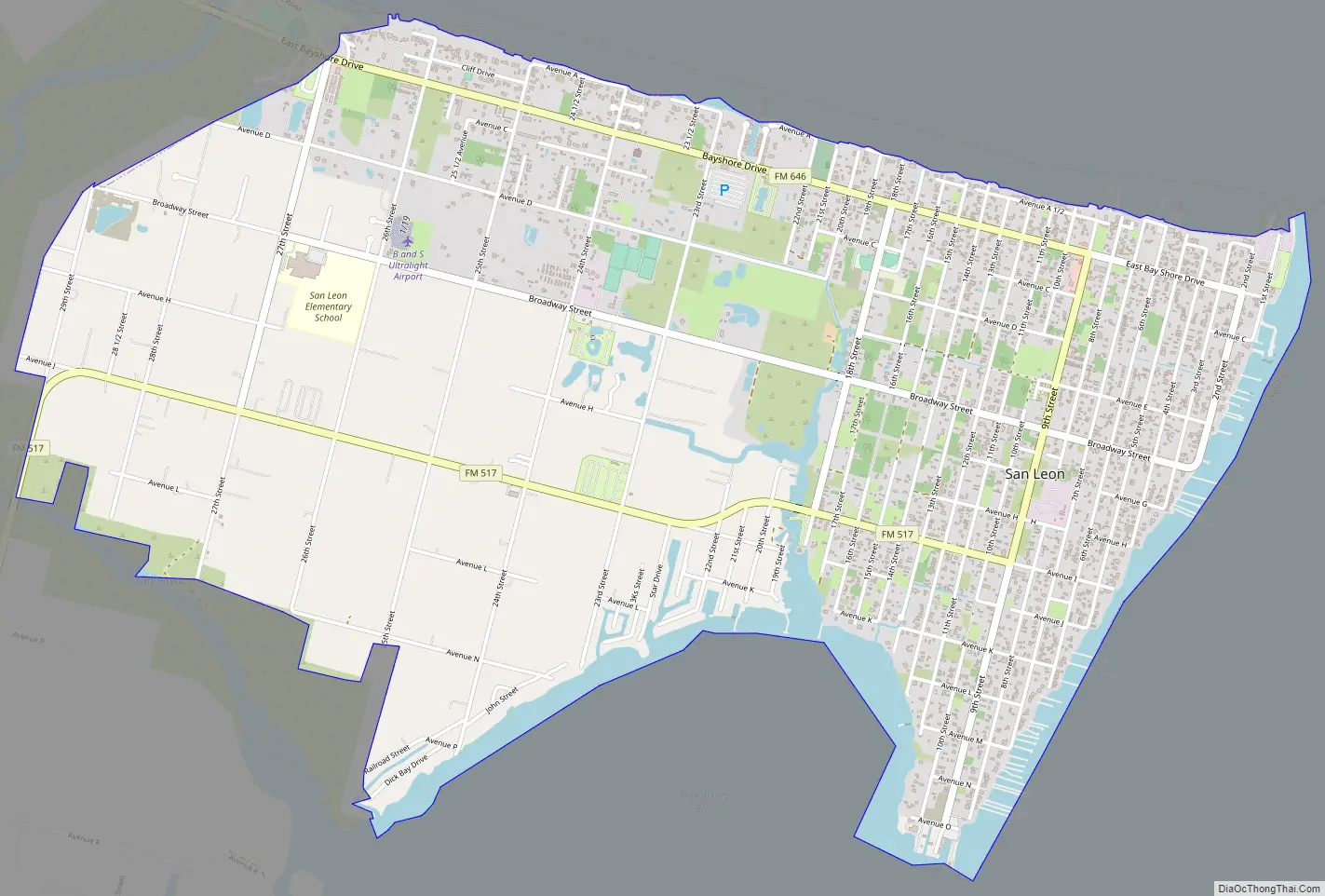
San Leon Road Map
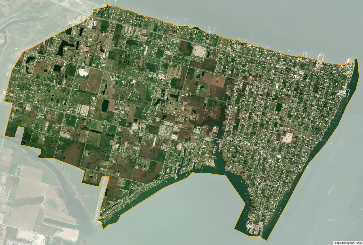
San Leon city Satellite Map
Geography
According to the United States Census Bureau, the CDP has a total area of 5.2 sq mi (13 km), of which 4.9 sq mi (13 km) is land and 0.3 sq mi (0.78 km), or 5.61%, is covered by water.
The Bacliff, San Leon, and Bayview communities form the “Bayshore” area.
Shore erosion had affected San Leon. Avenue A was built along the north shore. By 1997, it was no longer contiguous because portions had been destroyed by erosion.
Effective August 15, 2019 Galveston County Commissioners Court approved revised Federal Emergency Management Agency flood plain maps which categorized the vast majority of San Leon as being at high risk from floods.
See also
Map of Texas State and its subdivision:- Anderson
- Andrews
- Angelina
- Aransas
- Archer
- Armstrong
- Atascosa
- Austin
- Bailey
- Bandera
- Bastrop
- Baylor
- Bee
- Bell
- Bexar
- Blanco
- Borden
- Bosque
- Bowie
- Brazoria
- Brazos
- Brewster
- Briscoe
- Brooks
- Brown
- Burleson
- Burnet
- Caldwell
- Calhoun
- Callahan
- Cameron
- Camp
- Carson
- Cass
- Castro
- Chambers
- Cherokee
- Childress
- Clay
- Cochran
- Coke
- Coleman
- Collin
- Collingsworth
- Colorado
- Comal
- Comanche
- Concho
- Cooke
- Coryell
- Cottle
- Crane
- Crockett
- Crosby
- Culberson
- Dallam
- Dallas
- Dawson
- Deaf Smith
- Delta
- Denton
- Dewitt
- Dickens
- Dimmit
- Donley
- Duval
- Eastland
- Ector
- Edwards
- El Paso
- Ellis
- Erath
- Falls
- Fannin
- Fayette
- Fisher
- Floyd
- Foard
- Fort Bend
- Franklin
- Freestone
- Frio
- Gaines
- Galveston
- Garza
- Gillespie
- Glasscock
- Goliad
- Gonzales
- Gray
- Grayson
- Gregg
- Grimes
- Guadalupe
- Hale
- Hall
- Hamilton
- Hansford
- Hardeman
- Hardin
- Harris
- Harrison
- Hartley
- Haskell
- Hays
- Hemphill
- Henderson
- Hidalgo
- Hill
- Hockley
- Hood
- Hopkins
- Houston
- Howard
- Hudspeth
- Hunt
- Hutchinson
- Irion
- Jack
- Jackson
- Jasper
- Jeff Davis
- Jefferson
- Jim Hogg
- Jim Wells
- Johnson
- Jones
- Karnes
- Kaufman
- Kendall
- Kenedy
- Kent
- Kerr
- Kimble
- King
- Kinney
- Kleberg
- Knox
- La Salle
- Lamar
- Lamb
- Lampasas
- Lavaca
- Lee
- Leon
- Liberty
- Limestone
- Lipscomb
- Live Oak
- Llano
- Loving
- Lubbock
- Lynn
- Madison
- Marion
- Martin
- Mason
- Matagorda
- Maverick
- McCulloch
- McLennan
- McMullen
- Medina
- Menard
- Midland
- Milam
- Mills
- Mitchell
- Montague
- Montgomery
- Moore
- Morris
- Motley
- Nacogdoches
- Navarro
- Newton
- Nolan
- Nueces
- Ochiltree
- Oldham
- Orange
- Palo Pinto
- Panola
- Parker
- Parmer
- Pecos
- Polk
- Potter
- Presidio
- Rains
- Randall
- Reagan
- Real
- Red River
- Reeves
- Refugio
- Roberts
- Robertson
- Rockwall
- Runnels
- Rusk
- Sabine
- San Augustine
- San Jacinto
- San Patricio
- San Saba
- Schleicher
- Scurry
- Shackelford
- Shelby
- Sherman
- Smith
- Somervell
- Starr
- Stephens
- Sterling
- Stonewall
- Sutton
- Swisher
- Tarrant
- Taylor
- Terrell
- Terry
- Throckmorton
- Titus
- Tom Green
- Travis
- Trinity
- Tyler
- Upshur
- Upton
- Uvalde
- Val Verde
- Van Zandt
- Victoria
- Walker
- Waller
- Ward
- Washington
- Webb
- Wharton
- Wheeler
- Wichita
- Wilbarger
- Willacy
- Williamson
- Wilson
- Winkler
- Wise
- Wood
- Yoakum
- Young
- Zapata
- Zavala
- Alabama
- Alaska
- Arizona
- Arkansas
- California
- Colorado
- Connecticut
- Delaware
- District of Columbia
- Florida
- Georgia
- Hawaii
- Idaho
- Illinois
- Indiana
- Iowa
- Kansas
- Kentucky
- Louisiana
- Maine
- Maryland
- Massachusetts
- Michigan
- Minnesota
- Mississippi
- Missouri
- Montana
- Nebraska
- Nevada
- New Hampshire
- New Jersey
- New Mexico
- New York
- North Carolina
- North Dakota
- Ohio
- Oklahoma
- Oregon
- Pennsylvania
- Rhode Island
- South Carolina
- South Dakota
- Tennessee
- Texas
- Utah
- Vermont
- Virginia
- Washington
- West Virginia
- Wisconsin
- Wyoming