Skellytown is a town in Carson County, Texas, United States. Its population was 473 at the 2010 census, down from 610 at the 2000 census. Located in the Texas Panhandle, it is part of the Amarillo metropolitan area. In 1926, Skelly Oil Company purchased a 320-acre (130 ha) lease from Henry Schafer, a local rancher on whose land the Roxana oil pool was located. Schafer platted a new townsite, which he named “Skelly” in honor of the company’s founder and president, William Grove Skelly of Tulsa, Oklahoma.
| Name: | Skellytown town |
|---|---|
| LSAD Code: | 43 |
| LSAD Description: | town (suffix) |
| State: | Texas |
| County: | Carson County |
| Elevation: | 3,235 ft (986 m) |
| Total Area: | 0.53 sq mi (1.37 km²) |
| Land Area: | 0.53 sq mi (1.37 km²) |
| Water Area: | 0.00 sq mi (0.00 km²) |
| Total Population: | 473 |
| Population Density: | 845.57/sq mi (326.58/km²) |
| ZIP code: | 79080 |
| Area code: | 806 |
| FIPS code: | 4868120 |
| GNISfeature ID: | 1368382 |
| Website: | www.skellytowntexas.com |
Online Interactive Map
Click on ![]() to view map in "full screen" mode.
to view map in "full screen" mode.
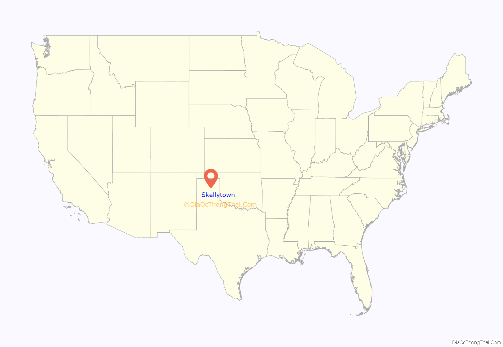
Skellytown location map. Where is Skellytown town?
History
Skelly was sited between the oil boom camps of Roxana, which was north of Skelly, and Noelette, which was east. The first businesses were company-owned supply stores. Residents had to gather wood for fuel and rely on trucked-in water supplies.
The Panhandle and Santa Fe Railway built a branch line north in 1927, from White Deer to the oilfields, and established its depot at a site just north of Skelly. All three camps moved their businesses to the new site and formed the Skellytown Townsite Company. Four months later, Skellytown had two oil refineries, a carbon black -manufacturing plant, and about 100 oil wells operating in its vicinity. Also in 1927, a new post office opened, the Roxana-Skellytown News began publishing every week, Panhandle Power and Light began to provide utilities, and a four-room emergency hospital opened.
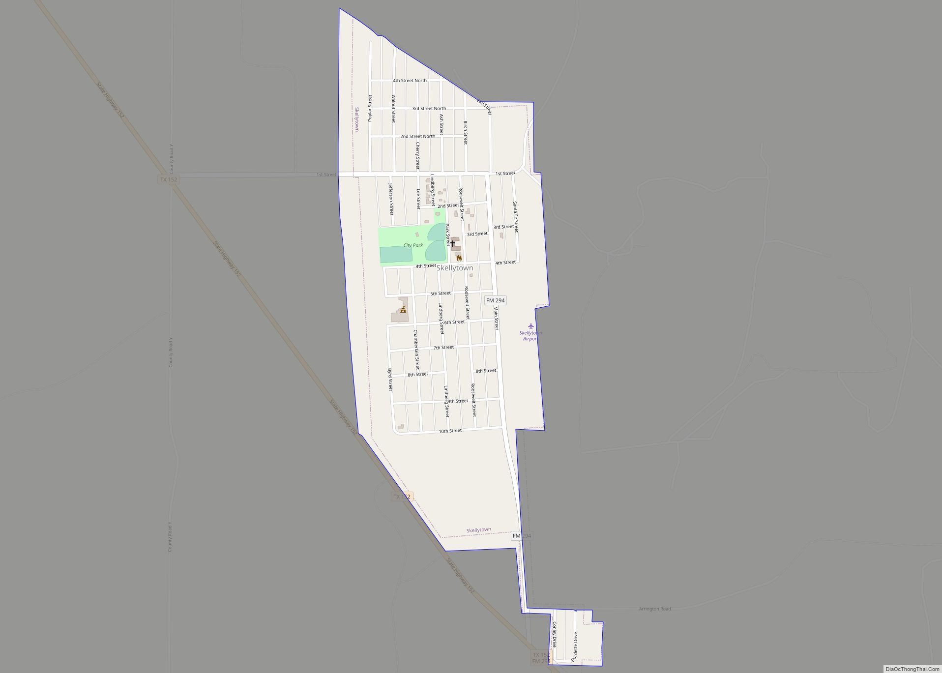
Skellytown Road Map
Skellytown city Satellite Map
Geography
Skellytown is located in northeastern Carson County at 35°34′22″N 101°10′21″W / 35.57278°N 101.17250°W / 35.57278; -101.17250 (35.572712, –101.172517), just northeast of Texas State Highway 152, which leads northwest 14 miles (23 km) to Borger and southeast 13 miles (21 km) to Pampa.
According to the United States Census Bureau, Skellytown has a total area of 0.54 square miles (1.4 km), all of it land.
Climate
According to the Köppen climate classification, Skellytown has a semiarid climate, BSk on climate maps.
See also
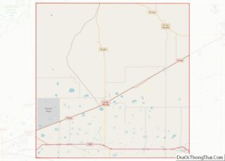
Map of Texas State and its subdivision:- Anderson
- Andrews
- Angelina
- Aransas
- Archer
- Armstrong
- Atascosa
- Austin
- Bailey
- Bandera
- Bastrop
- Baylor
- Bee
- Bell
- Bexar
- Blanco
- Borden
- Bosque
- Bowie
- Brazoria
- Brazos
- Brewster
- Briscoe
- Brooks
- Brown
- Burleson
- Burnet
- Caldwell
- Calhoun
- Callahan
- Cameron
- Camp
- Carson
- Cass
- Castro
- Chambers
- Cherokee
- Childress
- Clay
- Cochran
- Coke
- Coleman
- Collin
- Collingsworth
- Colorado
- Comal
- Comanche
- Concho
- Cooke
- Coryell
- Cottle
- Crane
- Crockett
- Crosby
- Culberson
- Dallam
- Dallas
- Dawson
- Deaf Smith
- Delta
- Denton
- Dewitt
- Dickens
- Dimmit
- Donley
- Duval
- Eastland
- Ector
- Edwards
- El Paso
- Ellis
- Erath
- Falls
- Fannin
- Fayette
- Fisher
- Floyd
- Foard
- Fort Bend
- Franklin
- Freestone
- Frio
- Gaines
- Galveston
- Garza
- Gillespie
- Glasscock
- Goliad
- Gonzales
- Gray
- Grayson
- Gregg
- Grimes
- Guadalupe
- Hale
- Hall
- Hamilton
- Hansford
- Hardeman
- Hardin
- Harris
- Harrison
- Hartley
- Haskell
- Hays
- Hemphill
- Henderson
- Hidalgo
- Hill
- Hockley
- Hood
- Hopkins
- Houston
- Howard
- Hudspeth
- Hunt
- Hutchinson
- Irion
- Jack
- Jackson
- Jasper
- Jeff Davis
- Jefferson
- Jim Hogg
- Jim Wells
- Johnson
- Jones
- Karnes
- Kaufman
- Kendall
- Kenedy
- Kent
- Kerr
- Kimble
- King
- Kinney
- Kleberg
- Knox
- La Salle
- Lamar
- Lamb
- Lampasas
- Lavaca
- Lee
- Leon
- Liberty
- Limestone
- Lipscomb
- Live Oak
- Llano
- Loving
- Lubbock
- Lynn
- Madison
- Marion
- Martin
- Mason
- Matagorda
- Maverick
- McCulloch
- McLennan
- McMullen
- Medina
- Menard
- Midland
- Milam
- Mills
- Mitchell
- Montague
- Montgomery
- Moore
- Morris
- Motley
- Nacogdoches
- Navarro
- Newton
- Nolan
- Nueces
- Ochiltree
- Oldham
- Orange
- Palo Pinto
- Panola
- Parker
- Parmer
- Pecos
- Polk
- Potter
- Presidio
- Rains
- Randall
- Reagan
- Real
- Red River
- Reeves
- Refugio
- Roberts
- Robertson
- Rockwall
- Runnels
- Rusk
- Sabine
- San Augustine
- San Jacinto
- San Patricio
- San Saba
- Schleicher
- Scurry
- Shackelford
- Shelby
- Sherman
- Smith
- Somervell
- Starr
- Stephens
- Sterling
- Stonewall
- Sutton
- Swisher
- Tarrant
- Taylor
- Terrell
- Terry
- Throckmorton
- Titus
- Tom Green
- Travis
- Trinity
- Tyler
- Upshur
- Upton
- Uvalde
- Val Verde
- Van Zandt
- Victoria
- Walker
- Waller
- Ward
- Washington
- Webb
- Wharton
- Wheeler
- Wichita
- Wilbarger
- Willacy
- Williamson
- Wilson
- Winkler
- Wise
- Wood
- Yoakum
- Young
- Zapata
- Zavala
- Alabama
- Alaska
- Arizona
- Arkansas
- California
- Colorado
- Connecticut
- Delaware
- District of Columbia
- Florida
- Georgia
- Hawaii
- Idaho
- Illinois
- Indiana
- Iowa
- Kansas
- Kentucky
- Louisiana
- Maine
- Maryland
- Massachusetts
- Michigan
- Minnesota
- Mississippi
- Missouri
- Montana
- Nebraska
- Nevada
- New Hampshire
- New Jersey
- New Mexico
- New York
- North Carolina
- North Dakota
- Ohio
- Oklahoma
- Oregon
- Pennsylvania
- Rhode Island
- South Carolina
- South Dakota
- Tennessee
- Texas
- Utah
- Vermont
- Virginia
- Washington
- West Virginia
- Wisconsin
- Wyoming
