Snyder is a town in, and the county seat of Scurry County, Texas, United States. The population was 11,202 at the 2010 census. The city is located in the lower part of the Southwestern Tablelands ecological region.
| Name: | Snyder city |
|---|---|
| LSAD Code: | 25 |
| LSAD Description: | city (suffix) |
| State: | Texas |
| County: | Scurry County |
| Elevation: | 2,320 ft (707 m) |
| Total Area: | 8.97 sq mi (23.23 km²) |
| Land Area: | 8.94 sq mi (23.15 km²) |
| Water Area: | 0.03 sq mi (0.08 km²) |
| Total Population: | 11,202 |
| Population Density: | 1,233.00/sq mi (476.08/km²) |
| ZIP code: | 79549-79550 |
| Area code: | 325 |
| FIPS code: | 4868624 |
| GNISfeature ID: | 1347340 |
| Website: | http://ci.snyder.tx.us/ |
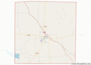
Online Interactive Map
Click on ![]() to view map in "full screen" mode.
to view map in "full screen" mode.
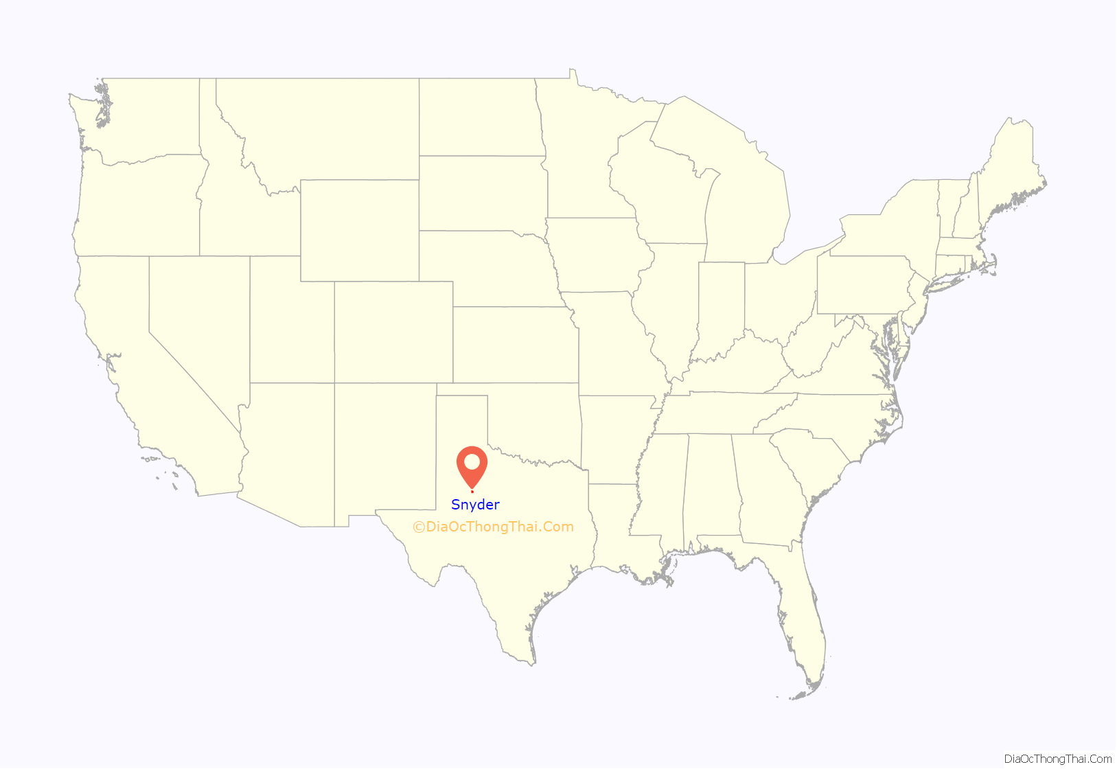
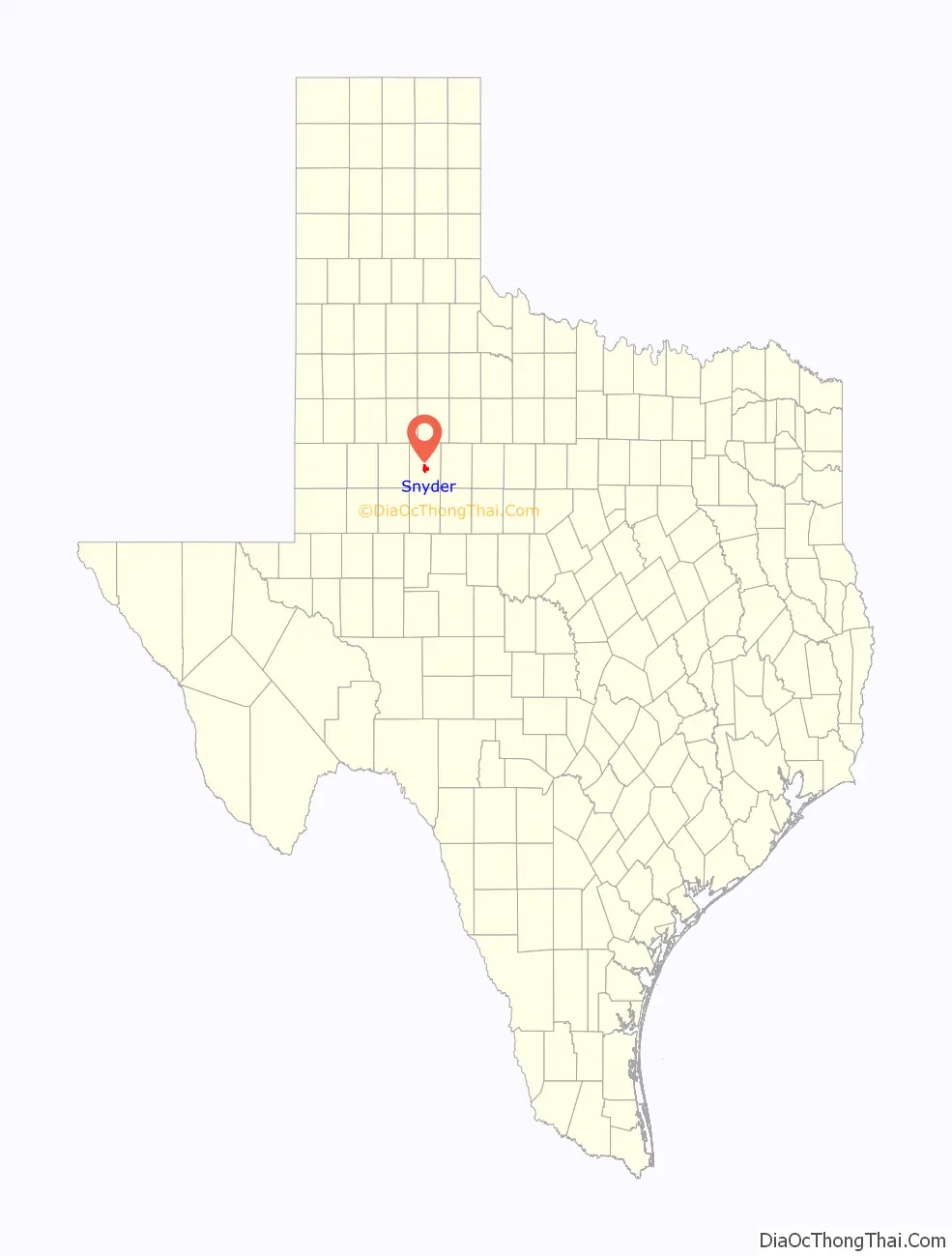
Snyder location map. Where is Snyder city?
History
Snyder is named for merchant and buffalo hunter William Henry (Pete) Snyder, who built a trading post on Deep Creek in 1878. It soon drew fellow hunters, and a small settlement grew up around the post. The nature of those early dwellings, mostly constructed of buffalo hide and tree branches, led to the community’s first, if unofficial, name of “Hide Town”. Another early name, “Robber’s Roost”, is said to owe its beginnings to the sometimes nefarious nature of a few residents and a lack of law enforcement. A statue of an albino buffalo on the grounds of the Scurry County Courthouse in Snyder pays homage to the town’s beginnings as a buffalo-trading post.
Snyder antedates Scurry County by two years, with a town plan being drawn up in 1882, while the county was not organized until 1884. A population of 600 was reported in 1892, with a school, two churches, a grist mill, steam gin, two banks, and two weekly newspapers being part of the community. Significant change happened in 1907 when Snyder was granted a city charter, and construction began on the Roscoe, Snyder and Pacific Railway. The 1910 census indicated Snyder had grown to a population of 2,514. The Atchison, Topeka & Santa Fe Railway tracks reached Snyder in 1911, spurring further growth. Ranching and farming were the primary economic backbone of Snyder through the first half of the 20th century.
This changed in 1948, when oil was discovered in the Canyon Reef area north of town. Snyder became a boomtown, as the population jumped to about 12,000 in just a year’s time. By the time the boom ended in 1951, an estimated peak population of 16,000 had been reached. This soon decreased to the 10,000 to 11,000 level and stabilized. Although the boom was over, oil still remained a vital part of the local economy, with the Snyder area being one of the leading oil-producing areas in Texas. In 1973, the one-billionth barrel of oil was pumped from the nearby oil fields.
An industrial base was established in the 1960s and early 1970s, diversifying the town’s economy and making it less susceptible to cycles of boom and bust. Higher education came to Snyder in 1971 with the founding of Western Texas College.
The Scurry County Coliseum in Snyder, operated by Western Texas College since 2008, is a large arena which hosts area events. Outside the coliseum is a locomotive engine and a small restored historic village. Also located in Snyder is the Diamond M Museum. Established by local oilman and rancher Clarence T. McLaughlin, the museum houses over 80 bronze works and 200 paintings. Among the collection are works by Peter Hurd and Andrew Wyeth.
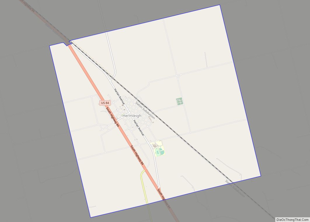
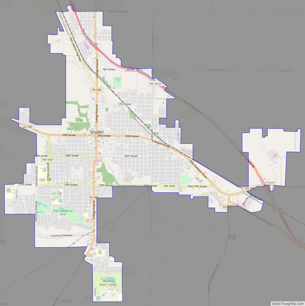
Snyder Road Map
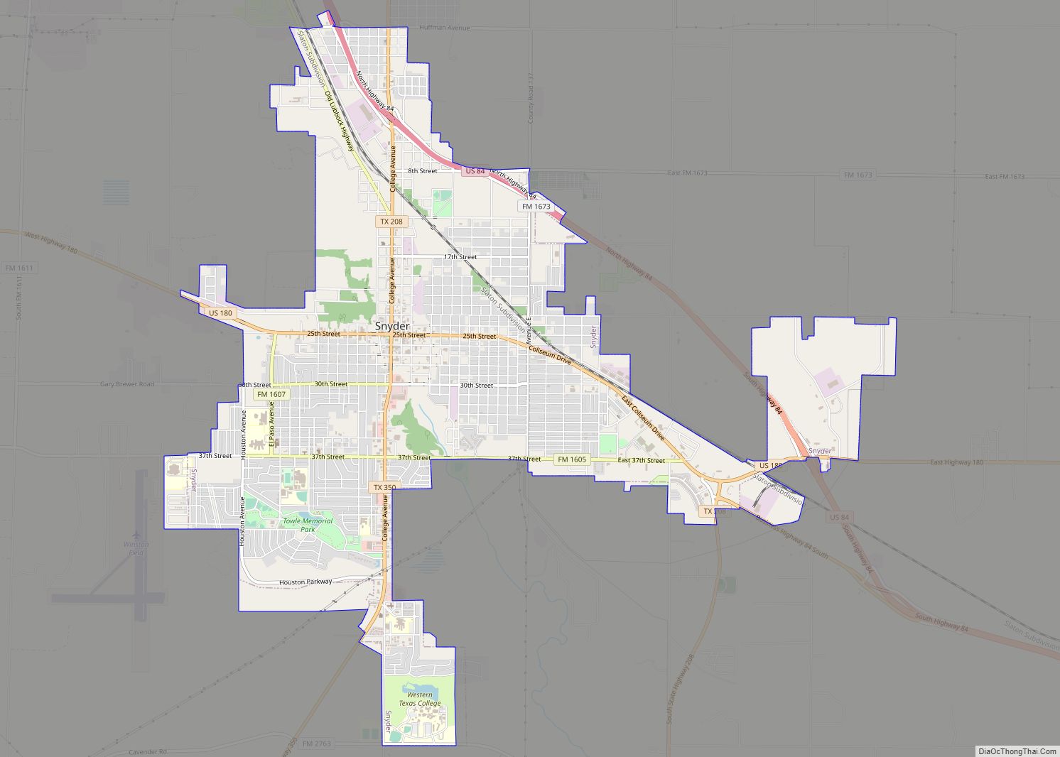
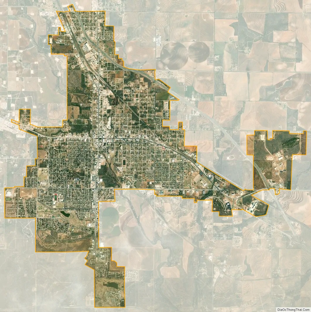
Snyder city Satellite Map
Geography
Snyder is located on Deep Creek, a minor tributary of the Colorado River of Texas.
Snyder is about 90 miles (140 km) southeast of Lubbock, 80 miles (130 km) northwest of Abilene, 90 miles (140 km) northeast of Midland, and 100 miles (160 km) north of San Angelo.
Climate
See also
Map of Texas State and its subdivision:- Anderson
- Andrews
- Angelina
- Aransas
- Archer
- Armstrong
- Atascosa
- Austin
- Bailey
- Bandera
- Bastrop
- Baylor
- Bee
- Bell
- Bexar
- Blanco
- Borden
- Bosque
- Bowie
- Brazoria
- Brazos
- Brewster
- Briscoe
- Brooks
- Brown
- Burleson
- Burnet
- Caldwell
- Calhoun
- Callahan
- Cameron
- Camp
- Carson
- Cass
- Castro
- Chambers
- Cherokee
- Childress
- Clay
- Cochran
- Coke
- Coleman
- Collin
- Collingsworth
- Colorado
- Comal
- Comanche
- Concho
- Cooke
- Coryell
- Cottle
- Crane
- Crockett
- Crosby
- Culberson
- Dallam
- Dallas
- Dawson
- Deaf Smith
- Delta
- Denton
- Dewitt
- Dickens
- Dimmit
- Donley
- Duval
- Eastland
- Ector
- Edwards
- El Paso
- Ellis
- Erath
- Falls
- Fannin
- Fayette
- Fisher
- Floyd
- Foard
- Fort Bend
- Franklin
- Freestone
- Frio
- Gaines
- Galveston
- Garza
- Gillespie
- Glasscock
- Goliad
- Gonzales
- Gray
- Grayson
- Gregg
- Grimes
- Guadalupe
- Hale
- Hall
- Hamilton
- Hansford
- Hardeman
- Hardin
- Harris
- Harrison
- Hartley
- Haskell
- Hays
- Hemphill
- Henderson
- Hidalgo
- Hill
- Hockley
- Hood
- Hopkins
- Houston
- Howard
- Hudspeth
- Hunt
- Hutchinson
- Irion
- Jack
- Jackson
- Jasper
- Jeff Davis
- Jefferson
- Jim Hogg
- Jim Wells
- Johnson
- Jones
- Karnes
- Kaufman
- Kendall
- Kenedy
- Kent
- Kerr
- Kimble
- King
- Kinney
- Kleberg
- Knox
- La Salle
- Lamar
- Lamb
- Lampasas
- Lavaca
- Lee
- Leon
- Liberty
- Limestone
- Lipscomb
- Live Oak
- Llano
- Loving
- Lubbock
- Lynn
- Madison
- Marion
- Martin
- Mason
- Matagorda
- Maverick
- McCulloch
- McLennan
- McMullen
- Medina
- Menard
- Midland
- Milam
- Mills
- Mitchell
- Montague
- Montgomery
- Moore
- Morris
- Motley
- Nacogdoches
- Navarro
- Newton
- Nolan
- Nueces
- Ochiltree
- Oldham
- Orange
- Palo Pinto
- Panola
- Parker
- Parmer
- Pecos
- Polk
- Potter
- Presidio
- Rains
- Randall
- Reagan
- Real
- Red River
- Reeves
- Refugio
- Roberts
- Robertson
- Rockwall
- Runnels
- Rusk
- Sabine
- San Augustine
- San Jacinto
- San Patricio
- San Saba
- Schleicher
- Scurry
- Shackelford
- Shelby
- Sherman
- Smith
- Somervell
- Starr
- Stephens
- Sterling
- Stonewall
- Sutton
- Swisher
- Tarrant
- Taylor
- Terrell
- Terry
- Throckmorton
- Titus
- Tom Green
- Travis
- Trinity
- Tyler
- Upshur
- Upton
- Uvalde
- Val Verde
- Van Zandt
- Victoria
- Walker
- Waller
- Ward
- Washington
- Webb
- Wharton
- Wheeler
- Wichita
- Wilbarger
- Willacy
- Williamson
- Wilson
- Winkler
- Wise
- Wood
- Yoakum
- Young
- Zapata
- Zavala
- Alabama
- Alaska
- Arizona
- Arkansas
- California
- Colorado
- Connecticut
- Delaware
- District of Columbia
- Florida
- Georgia
- Hawaii
- Idaho
- Illinois
- Indiana
- Iowa
- Kansas
- Kentucky
- Louisiana
- Maine
- Maryland
- Massachusetts
- Michigan
- Minnesota
- Mississippi
- Missouri
- Montana
- Nebraska
- Nevada
- New Hampshire
- New Jersey
- New Mexico
- New York
- North Carolina
- North Dakota
- Ohio
- Oklahoma
- Oregon
- Pennsylvania
- Rhode Island
- South Carolina
- South Dakota
- Tennessee
- Texas
- Utah
- Vermont
- Virginia
- Washington
- West Virginia
- Wisconsin
- Wyoming