The Colony is a city in Denton County, Texas, United States, and a suburb of Dallas. The population was 44,534 at the 2020 census.
| Name: | The Colony city |
|---|---|
| LSAD Code: | 25 |
| LSAD Description: | city (suffix) |
| State: | Texas |
| County: | Denton County |
| Elevation: | 554 ft (169 m) |
| Total Area: | 16.15 sq mi (41.83 km²) |
| Land Area: | 14.01 sq mi (36.28 km²) |
| Water Area: | 2.14 sq mi (5.55 km²) |
| Total Population: | 44,534 |
| Population Density: | 3,172.10/sq mi (1,224.73/km²) |
| ZIP code: | 75056 |
| Area code: | 214, 469, 945, 972 |
| FIPS code: | 4872530 |
| GNISfeature ID: | 2412058 |
| Website: | www.thecolonytx.gov |
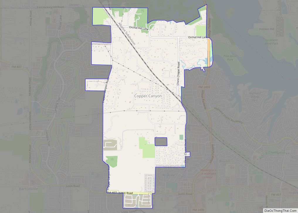
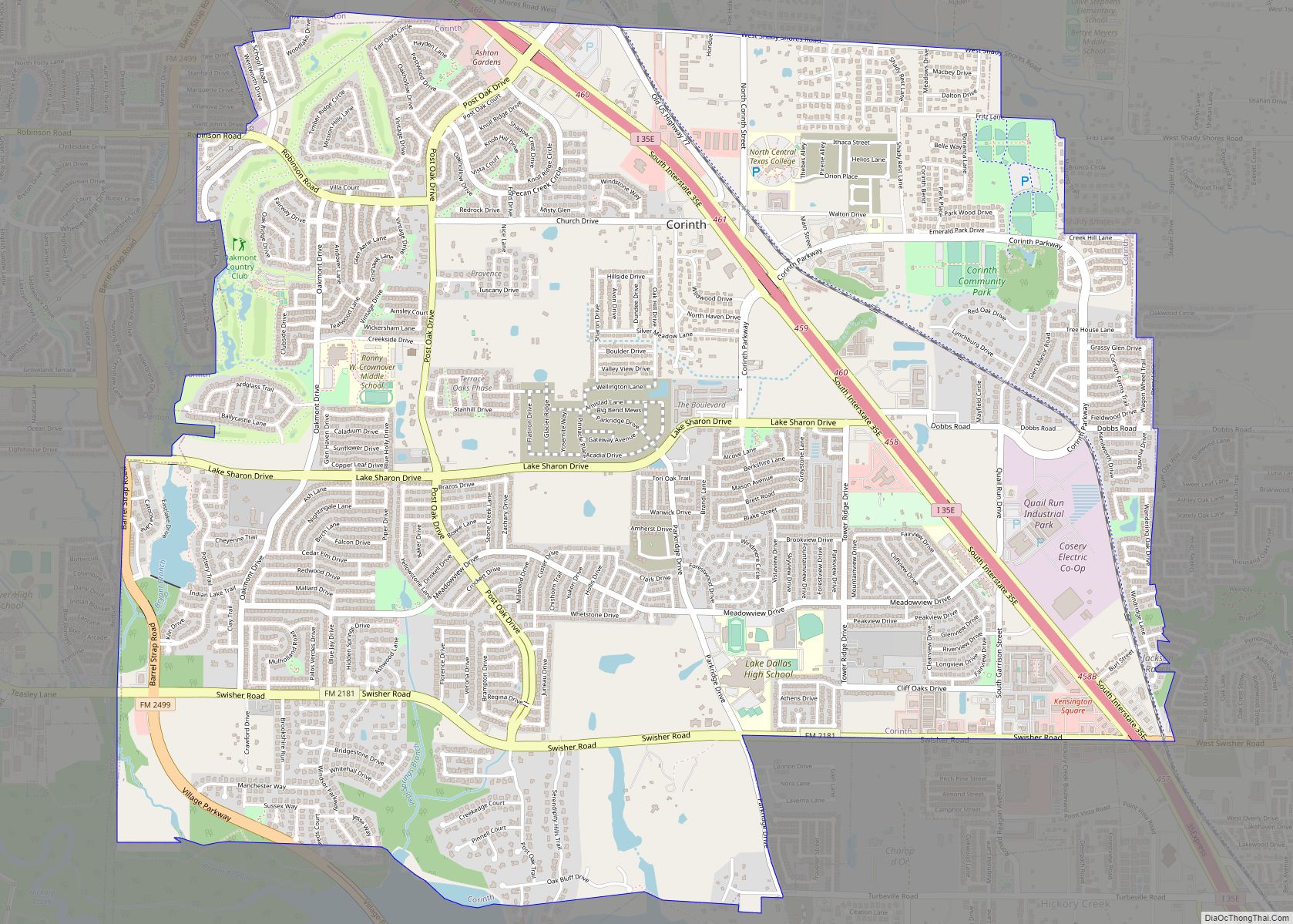
Online Interactive Map
Click on ![]() to view map in "full screen" mode.
to view map in "full screen" mode.
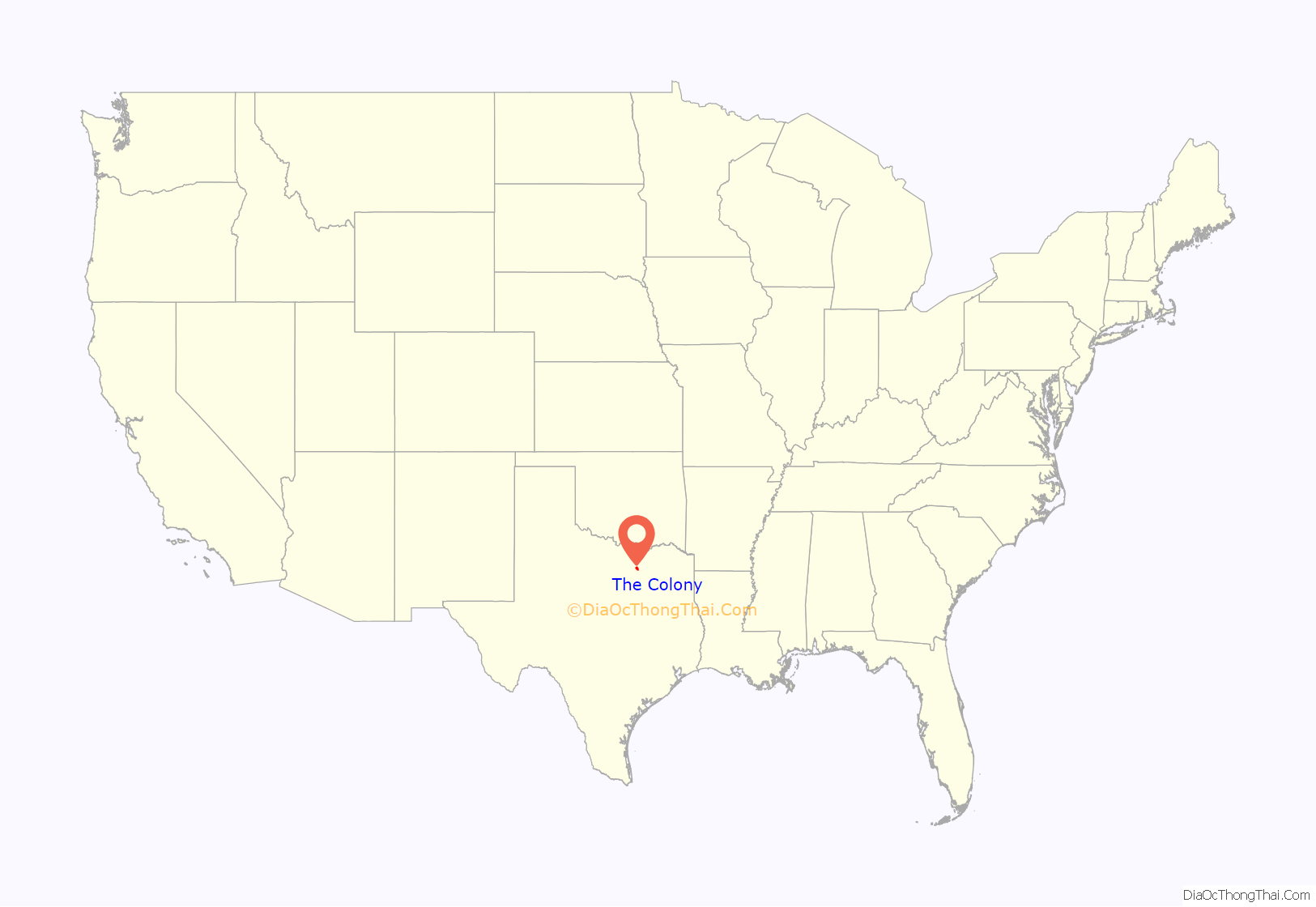
The Colony location map. Where is The Colony city?

History
The Colony derives its name from the original Peters Colony. The Peters Colony headquarters was located within the current boundaries of The Colony in the historical community of Stewartsville and the site of the Hedgcoxe War. The Colony is also the site of Bridges Settlement (established during the years of the Republic of Texas and the oldest community in Denton County), Stewarts Creek, Rector, Stoverville and Camey, also known as Camey Spur.
One of the oldest portions of The Colony is Bridges Cemetery, established in 1857 on land owned by the Bridges family, is found on Morningstar Drive. The cemetery gates stand closed to the public except during certain dates when it is open to visitors by the local history committee.
The Colony did not exist before 1973, when home developers Fox and Jacobs (which became part of Centex) purchased 3,000 acres (1,200 ha) located around State Highway 121 and Farm to Market Road 423. The name “The Colony” was chosen by Fox and Jacobs because they wanted its new development to share a sense of kinship with Texas’ early history and “to create a living monument to the spirit and courage of the Peters Colonists … those men and women who braved considerable hardships to begin new lives, in new homes, on new land.” They planned the development to be a new “dream city” consisting primarily of single-family homes grouped as a “colony” and based on the city of Dallas’ infrastructure specifications. In 1973, Fox and Jacobs negotiated an agreement with the city of Frisco to begin construction in its extraterritorial jurisdiction. In 1974, street construction began with many streets being named after early settlers and members of the construction crews. The first model homes were completed in August 1974 and the first families moved into their homes in October that year. The homes were served for water services by The Colony Municipal Utility District formed in 1974, electricity via Texas Power and Light, cable television via Lakeside CATV and telephone service via Southwestern Bell.
In 1977, the homeowners associations’ petition to disannex the development from the city of Frisco‘s extraterritorial jurisdiction was approved. The Colony voted to become an incorporated city in January 1977 and became a Home Rule City in 1979. Residents of The Colony participated in two polls to select a name for the new city. Both polls chose the name “The Colony” and the name was ratified by the City Council in May 1977. In 1987, The Colony voted to merge with the small lakeside community of Eastvale.
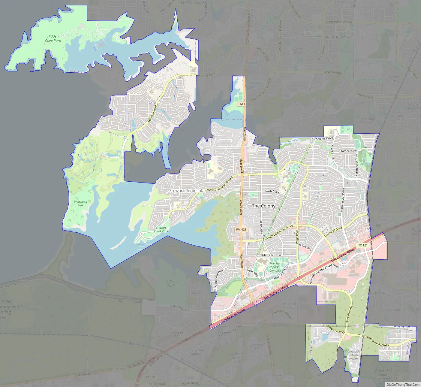
The Colony Road Map
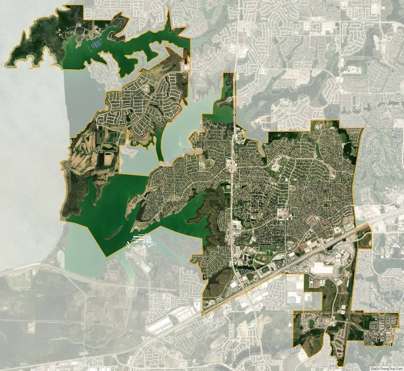
The Colony city Satellite Map
Geography
The Colony is located at 33°5′27″N 96°53′5″W / 33.09083°N 96.88472°W / 33.09083; -96.88472 (33.090874, –96.884659). According to the United States Census Bureau, the city has a total area of 16.1 square miles (41.7 km), of which 14.0 square miles (36.3 km) of it is land and 2.1 square miles (5.4 km), or 12.93%, is water.
The city is bordered on the west by Lewisville Lake and the city of Lewisville, on the north and east by Frisco, and on the south by the cities of Carrollton and Plano. Approximately 23 miles (37 km) of shoreline on Lewisville Lake (including two peninsulas) are contained within the city’s boundaries, thus providing the basis for the city’s nickname “City by the Lake.”
See also
Map of Texas State and its subdivision:- Anderson
- Andrews
- Angelina
- Aransas
- Archer
- Armstrong
- Atascosa
- Austin
- Bailey
- Bandera
- Bastrop
- Baylor
- Bee
- Bell
- Bexar
- Blanco
- Borden
- Bosque
- Bowie
- Brazoria
- Brazos
- Brewster
- Briscoe
- Brooks
- Brown
- Burleson
- Burnet
- Caldwell
- Calhoun
- Callahan
- Cameron
- Camp
- Carson
- Cass
- Castro
- Chambers
- Cherokee
- Childress
- Clay
- Cochran
- Coke
- Coleman
- Collin
- Collingsworth
- Colorado
- Comal
- Comanche
- Concho
- Cooke
- Coryell
- Cottle
- Crane
- Crockett
- Crosby
- Culberson
- Dallam
- Dallas
- Dawson
- Deaf Smith
- Delta
- Denton
- Dewitt
- Dickens
- Dimmit
- Donley
- Duval
- Eastland
- Ector
- Edwards
- El Paso
- Ellis
- Erath
- Falls
- Fannin
- Fayette
- Fisher
- Floyd
- Foard
- Fort Bend
- Franklin
- Freestone
- Frio
- Gaines
- Galveston
- Garza
- Gillespie
- Glasscock
- Goliad
- Gonzales
- Gray
- Grayson
- Gregg
- Grimes
- Guadalupe
- Hale
- Hall
- Hamilton
- Hansford
- Hardeman
- Hardin
- Harris
- Harrison
- Hartley
- Haskell
- Hays
- Hemphill
- Henderson
- Hidalgo
- Hill
- Hockley
- Hood
- Hopkins
- Houston
- Howard
- Hudspeth
- Hunt
- Hutchinson
- Irion
- Jack
- Jackson
- Jasper
- Jeff Davis
- Jefferson
- Jim Hogg
- Jim Wells
- Johnson
- Jones
- Karnes
- Kaufman
- Kendall
- Kenedy
- Kent
- Kerr
- Kimble
- King
- Kinney
- Kleberg
- Knox
- La Salle
- Lamar
- Lamb
- Lampasas
- Lavaca
- Lee
- Leon
- Liberty
- Limestone
- Lipscomb
- Live Oak
- Llano
- Loving
- Lubbock
- Lynn
- Madison
- Marion
- Martin
- Mason
- Matagorda
- Maverick
- McCulloch
- McLennan
- McMullen
- Medina
- Menard
- Midland
- Milam
- Mills
- Mitchell
- Montague
- Montgomery
- Moore
- Morris
- Motley
- Nacogdoches
- Navarro
- Newton
- Nolan
- Nueces
- Ochiltree
- Oldham
- Orange
- Palo Pinto
- Panola
- Parker
- Parmer
- Pecos
- Polk
- Potter
- Presidio
- Rains
- Randall
- Reagan
- Real
- Red River
- Reeves
- Refugio
- Roberts
- Robertson
- Rockwall
- Runnels
- Rusk
- Sabine
- San Augustine
- San Jacinto
- San Patricio
- San Saba
- Schleicher
- Scurry
- Shackelford
- Shelby
- Sherman
- Smith
- Somervell
- Starr
- Stephens
- Sterling
- Stonewall
- Sutton
- Swisher
- Tarrant
- Taylor
- Terrell
- Terry
- Throckmorton
- Titus
- Tom Green
- Travis
- Trinity
- Tyler
- Upshur
- Upton
- Uvalde
- Val Verde
- Van Zandt
- Victoria
- Walker
- Waller
- Ward
- Washington
- Webb
- Wharton
- Wheeler
- Wichita
- Wilbarger
- Willacy
- Williamson
- Wilson
- Winkler
- Wise
- Wood
- Yoakum
- Young
- Zapata
- Zavala
- Alabama
- Alaska
- Arizona
- Arkansas
- California
- Colorado
- Connecticut
- Delaware
- District of Columbia
- Florida
- Georgia
- Hawaii
- Idaho
- Illinois
- Indiana
- Iowa
- Kansas
- Kentucky
- Louisiana
- Maine
- Maryland
- Massachusetts
- Michigan
- Minnesota
- Mississippi
- Missouri
- Montana
- Nebraska
- Nevada
- New Hampshire
- New Jersey
- New Mexico
- New York
- North Carolina
- North Dakota
- Ohio
- Oklahoma
- Oregon
- Pennsylvania
- Rhode Island
- South Carolina
- South Dakota
- Tennessee
- Texas
- Utah
- Vermont
- Virginia
- Washington
- West Virginia
- Wisconsin
- Wyoming